 Click to zoom
Michigan County Maps Template for Keynote Mastery
| Format | .pptx |
| Slides | 26 unique layouts |
| Aspect ratio | 16:9 |
| Compatibility | PowerPoint |
| Animated | No |
| Language | English |
| License | Commercial |
| File size | — |
| Version | v1.0 |
| Last updated | May 2022 |
What's inside
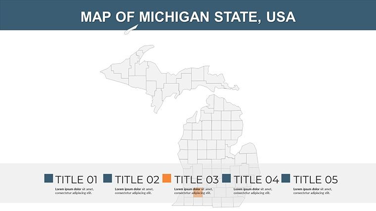
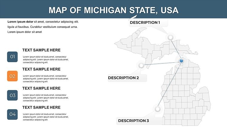
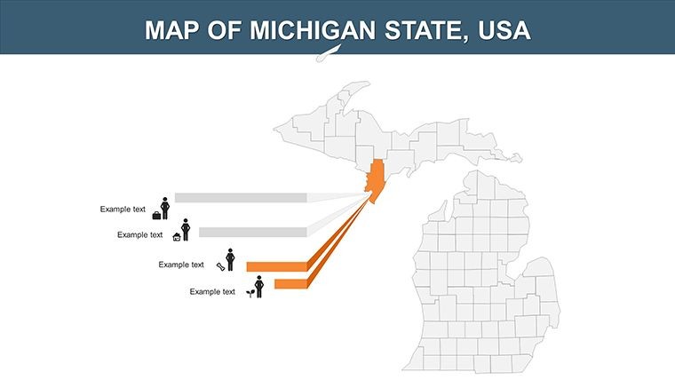
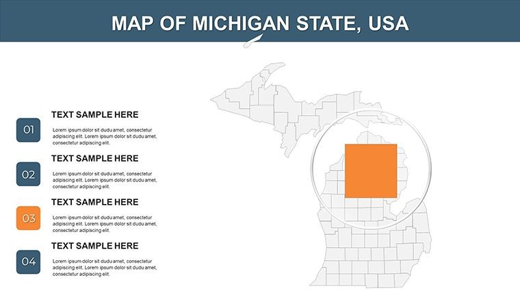
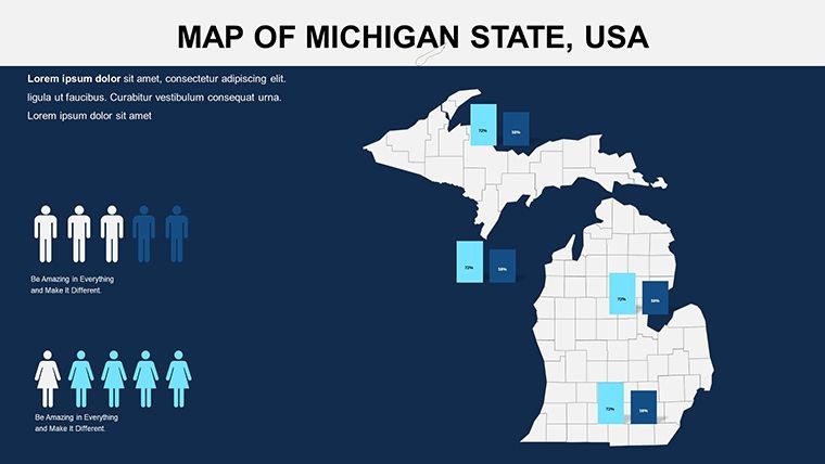
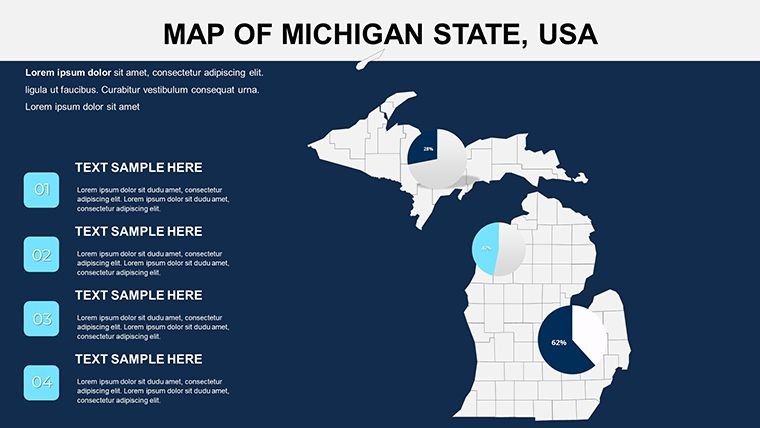
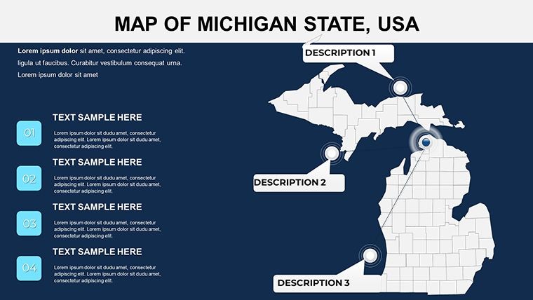
Picture yourself unveiling a presentation that dives deep into Michigan's heartland, where the Great Lakes meet industrial heritage and natural beauty. Our Michigan County Maps Template for Apple Keynote is tailored for those who demand precision in visualizing the Wolverine State's 83 counties. Boasting 26 editable slides, this resource is a game-changer for real estate developers mapping market trends, environmental scientists tracking ecosystem changes, or historians tracing automotive evolution in Detroit. Forget static images; embrace a toolkit that lets you color-code regions, annotate with economic data, and integrate diagrams for a holistic view. Designed with user-centric flexibility, it addresses common pain points like mismatched scales or outdated boundaries, ensuring your narrative flows as smoothly as the Mississippi River tributaries in the state.
Unveiling Michigan's Geographic Canvas
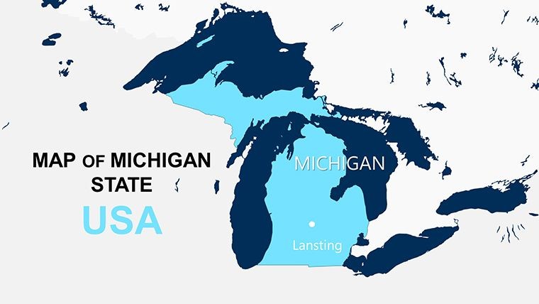
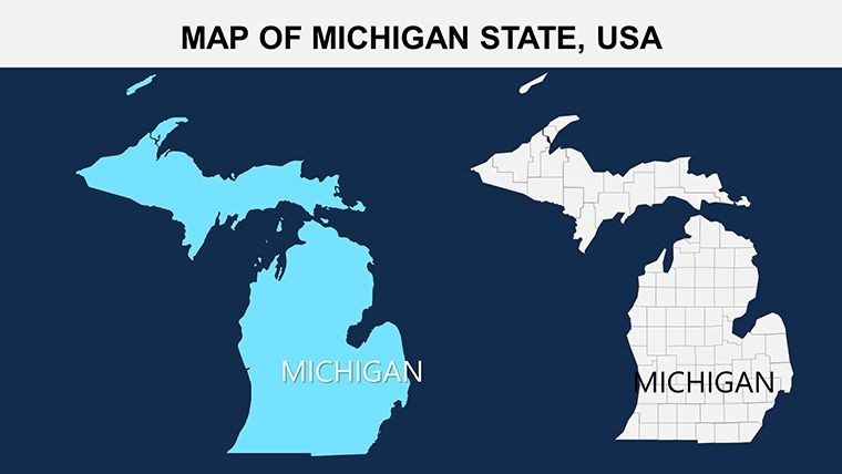
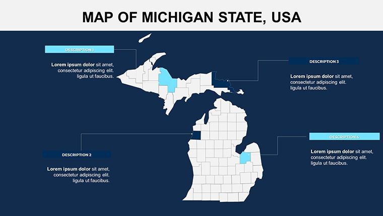
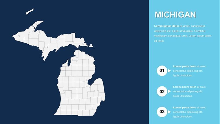
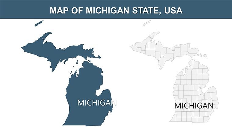
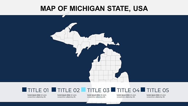
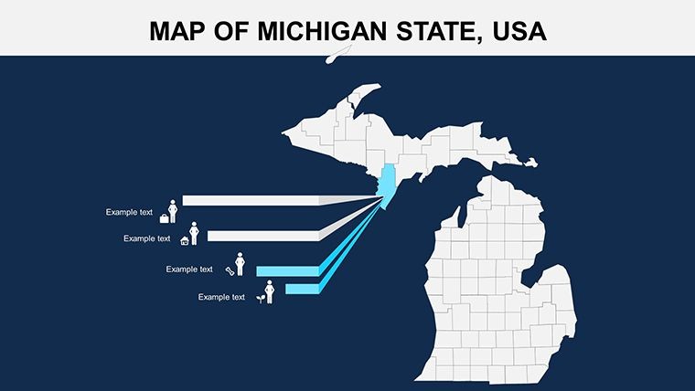
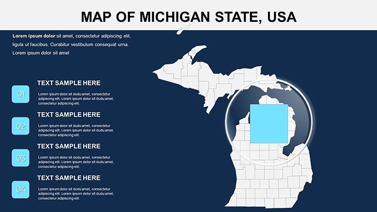
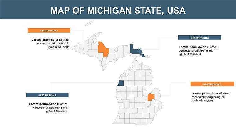
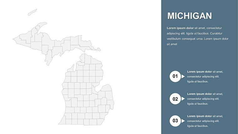
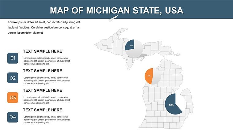
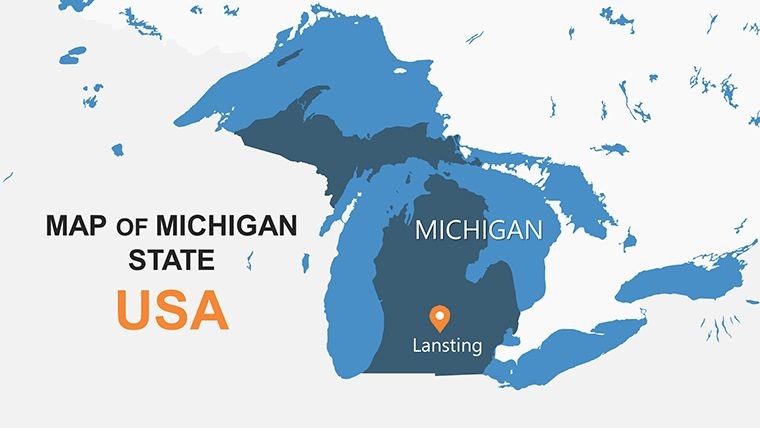
Michigan's unique peninsula structure, divided by Lake Michigan, presents endless opportunities for insightful presentations. Our template features high-resolution political maps where each county - from Alger in the Upper Peninsula to Wayne in the southeast - is distinctly colored for quick identification. This isn't just a map; it's a foundation for storytelling, whether you're discussing tourism hotspots like Mackinac Island or agricultural outputs in the fertile plains.
Standout Features for Professional Polish
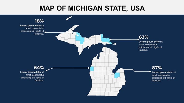
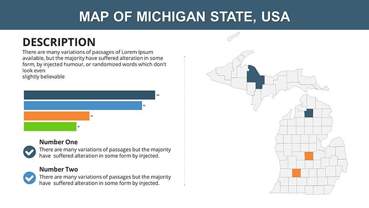
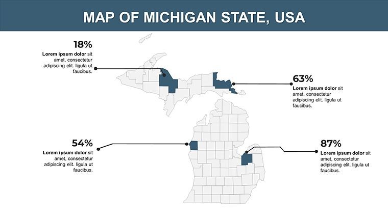
- Color-Coded Counties: Differentiate regions effortlessly, perfect for demographic breakdowns or election analyses.
- Border and Label Customization: Edit state outlines, add city names, or highlight water bodies like Lake Huron with ease.
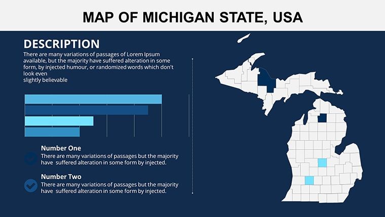
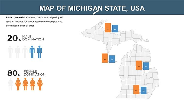
- Diagram Integration: Incorporate charts for data like population density, enhancing maps without external tools.
- Resolution Perfection: Vector-based for crisp displays on projectors or shared screens.
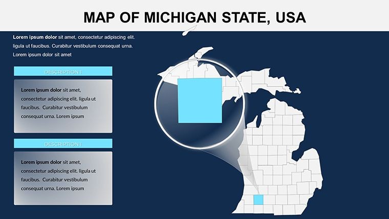
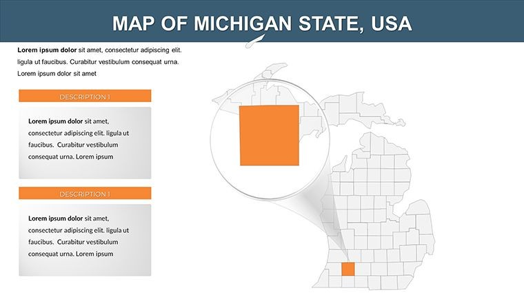
- Comprehensive Slide Set: 26 variations, including zoomed views and thematic overlays.
These elements empower you to create presentations that not only inform but inspire action, drawing on real-world standards like those from the Michigan Geographic Alliance.
Practical Scenarios: From Classroom to Boardroom
For a marketing analyst, envision using these maps to pinpoint consumer behaviors across counties, perhaps overlaying sales data on a slide focused on the Lower Peninsula. Aligning with best practices in data visualization, you can cite sources from the U.S. Geological Survey to add credibility. In education, teachers can animate county evolutions to teach about glacial formations, making abstract concepts tangible.
Guided Workflow: Building an Environmental Report
- Launch Keynote and import the template.
- Choose a county-focused slide and adjust colors to represent pollution levels.
- Insert labels for key sites, like national parks.
- Add animations to reveal data layers sequentially.
- Review and export for stakeholder sharing.
This method streamlines preparation, allowing more time for insightful analysis rather than design drudgery.
Superior to Standard Map Tools
Basic Keynote shapes can't compete with our specialized template, which offers pre-built accuracy and thematic depth. Users appreciate the time savings - up to 50% less fiddling with alignments - freeing creativity for content. Infuse local charm, like subtle nods to Michigan's cherry festivals in icon sets, for presentations that feel authentic and engaging.
Pro Design Advice
Enhance readability by using contrasting colors for adjacent counties, per color theory principles. For trustworthiness, embed hyperlinks to official Michigan state sites. Keep slides uncluttered to focus on your core message, turning data into decisions.
Elevate your Michigan insights today - unlock this template and chart a course to presentation excellence.
Frequently Asked Questions
What makes these maps high-resolution?
They're vector-based, ensuring no pixelation regardless of zoom or screen size.
Can I integrate these with other Keynote elements?
Yes, seamlessly add charts, images, or text boxes to enhance your maps.
Are county boundaries up-to-date?
Absolutely, reflecting the latest official delineations for accuracy.
How do I add custom data?
Edit labels or overlay shapes directly in Keynote for personalized insights.
Is this suitable for non-profits?
Yes, ideal for grant proposals or community outreach visuals.
Good for
- Project roadmaps and sprint plans
- Product launch timelines
- Quarterly or annual review decks
- Company history and milestone summaries
Licence
reviews
The chart icons actually matched the topic I was working on.
Needed something quick for an office update and this was okay.
Some text boxes felt awkward to move around but still usable.
I liked the simple map shapes because they didn’t distract too much.
Helped me put together a sales region presentation in one evening.
FAQ
Will it work in Google Slides?
Are fonts embedded?
Can I use this for client work?
What's the refund policy?
Do you update the template after purchase?
Similar templates
See all Keynote Maps →
All 26 slides