 Click to zoom
Michigan Counties PowerPoint Maps: Edit Now
| Format | .pptx |
| Slides | 26 unique layouts |
| Aspect ratio | 16:9 |
| Compatibility | PowerPoint |
| Animated | No |
| Language | English |
| License | Commercial |
| File size | — |
| Version | v1.0 |
| Last updated | May 2024 |
What's inside
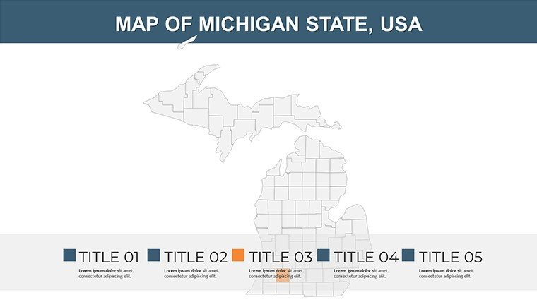
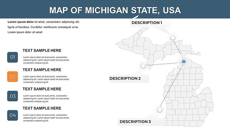
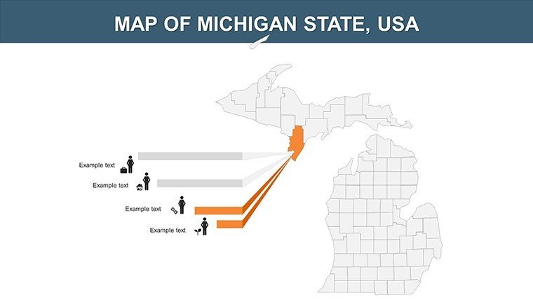
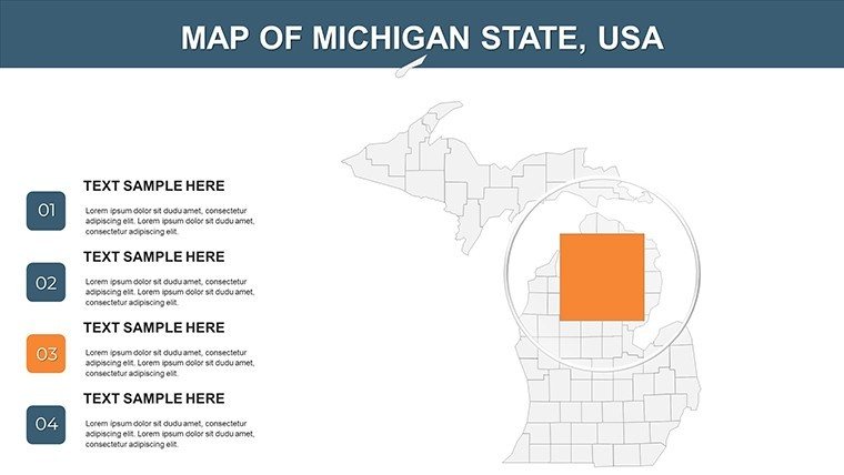
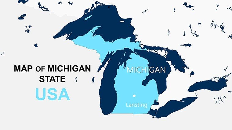
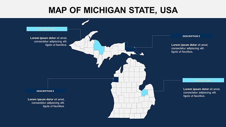
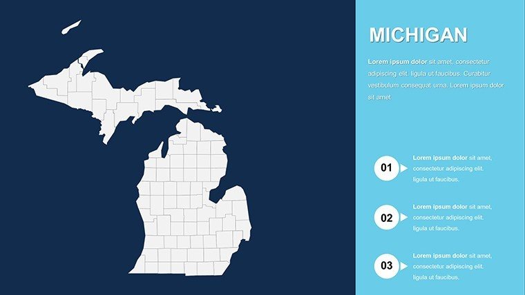
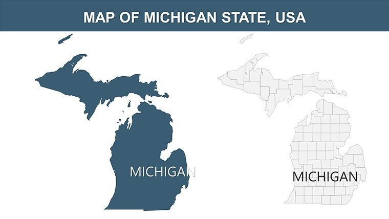
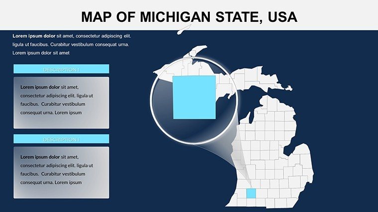
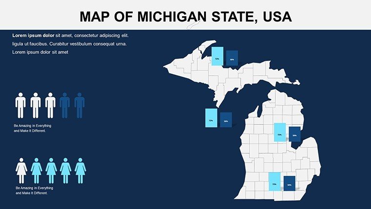
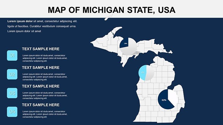
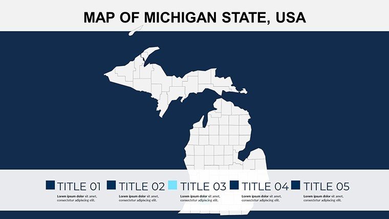
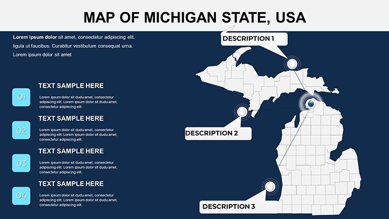
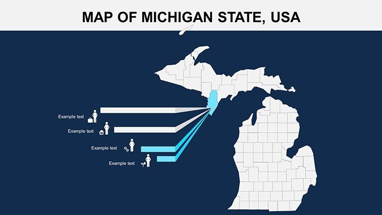
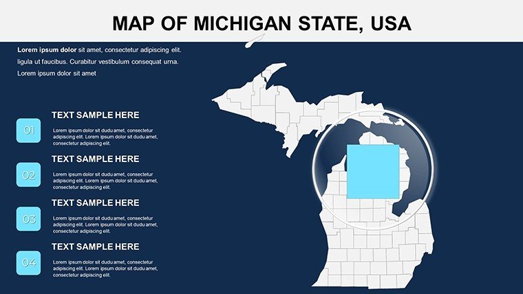
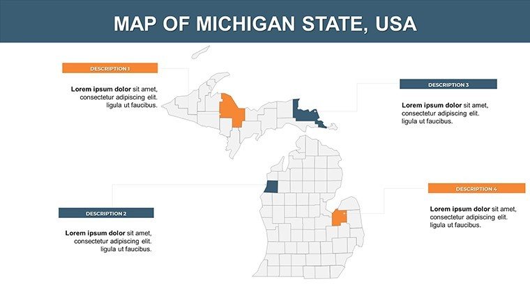
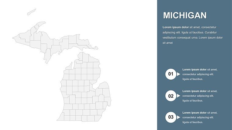
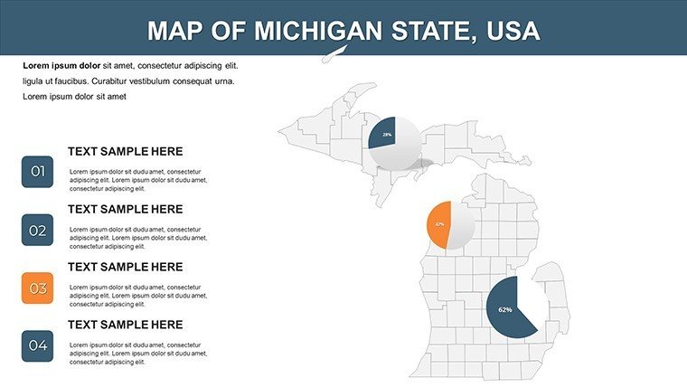
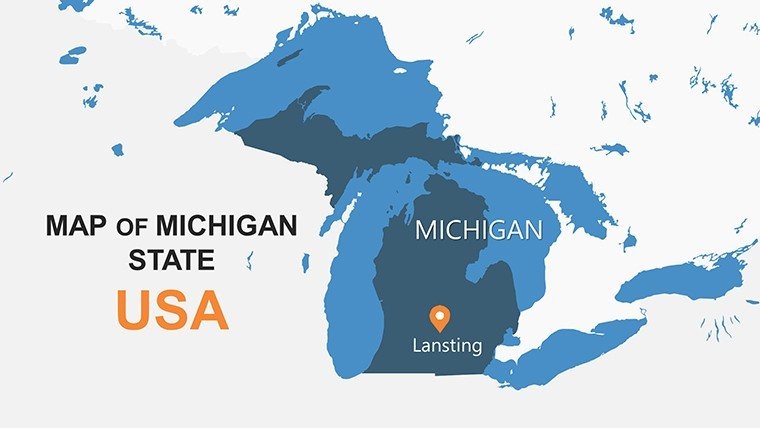
Venture through the mitten state's intricate web of waterways and industry with our Michigan Counties PowerPoint Maps template - 26 slides of editable excellence for those charting courses in manufacturing, environmental policy, or regional history. Inspired by Michigan Department of Transportation datasets, these maps distill the essence of 83 counties, from Detroit's urban pulse to the Upper Peninsula's wild expanses. Architects and developers, rejoice: overlay zoning proposals on county grids to pitch eco-villages along Lake Superior. Educators, bring folklore to life by tracing Paul Bunyan lore across logging legacies. This tool transcends templates - it's a strategic ally, compatible with PowerPoint's robust ecosystem and Google Slides' collab ease, ensuring your visions scale from sketch to screen. Grounded in Great Lakes Commission principles, it promotes sustainable storytelling that informs and ignites.
Delve into Detailed, Dynamic County Canvas
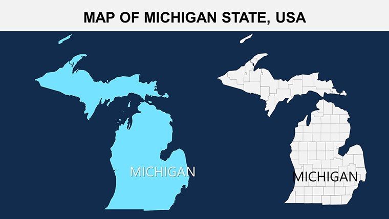
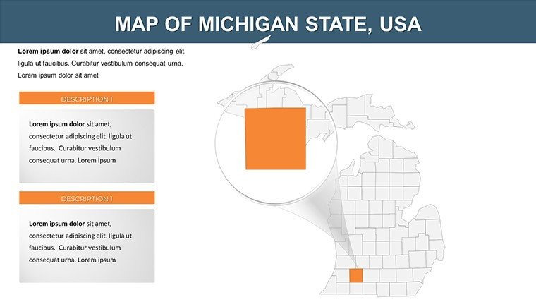
Core slides feature hyper-accurate outlines, fortified with geospatial fidelity for seamless data draping. Whether shading unemployment in Flint or tourism trails in Traverse City, the framework supports layered intelligence.
- Relief and Route Renderings: Elevate with topo lines and highway nets, sourced from USGS for unerring terrain tales.
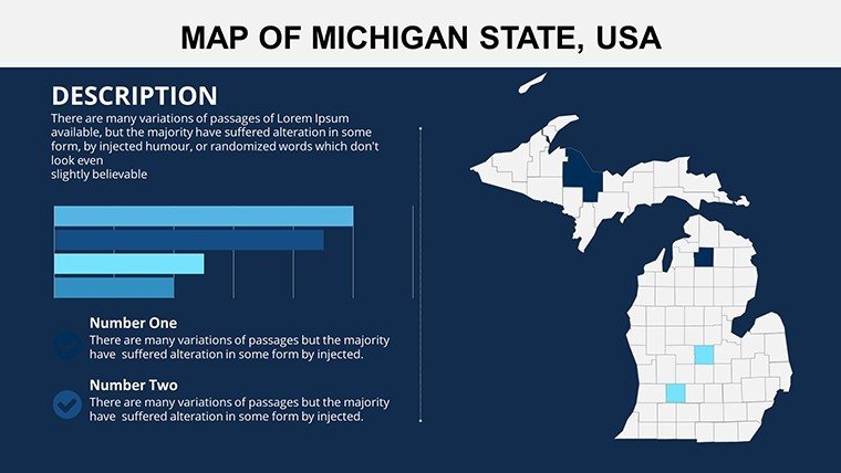
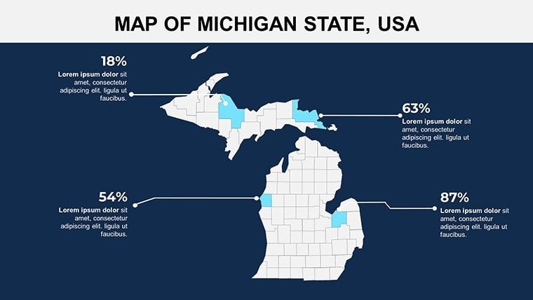
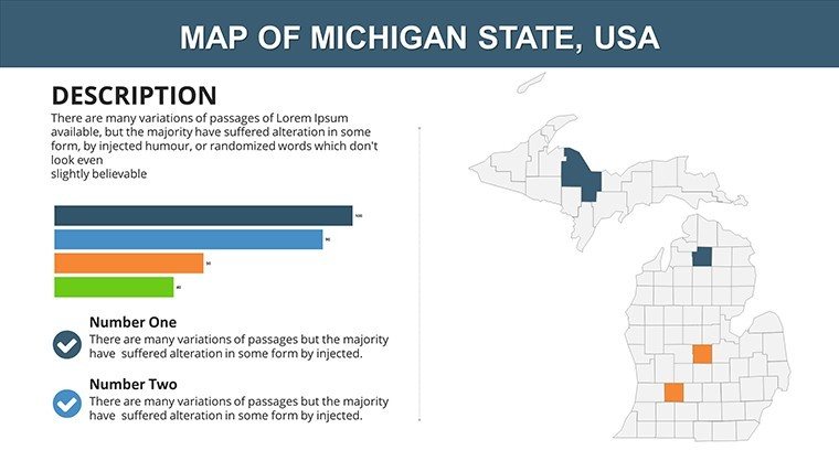
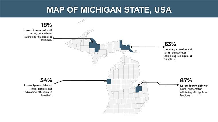
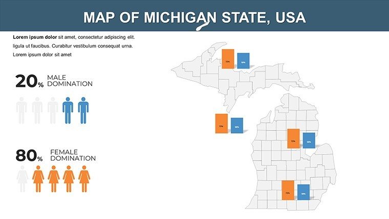
- Demographic Dashboards: Embed census bubbles for population densities, auto-updating via linked spreadsheets.
- Custom Contour Creations: Animate seasonal lake levels, vital for waterfront planning amid climate shifts.
Crafted with input from Michigan State University geographers, these assets embody reliability for high-stakes discourse.
Adaptable Across Platforms and Projections
PowerPoint 2021 native, with Google Slides parity and export to Visio for deeper dives. Responsive layouts flex for portrait pitches or landscape lectures.
Strategic Stories: Plan, Preserve, Propel
An Ann Arbor firm mapped EV charging networks county-by-county, landing state grants by visualizing equity gaps. Historians animated Underground Railroad paths, enriching museum exhibits with narrative depth.
- Industrial Innovation: Execs forecast supply chains from Grand Rapids furniture to Silicon Valley satellites, with risk heatmaps.
- Ecological Education: Teachers layer invasive species spreads, fostering stewardship through interactive queries.
- Heritage Horizon Scans: Planners plot preservation zones, integrating National Register sites for balanced growth.
Superior to bare-bones options, our pack includes niche slides for bridge inventories, echoing MDOT priorities.
Refinement Rituals: Personalize with Precision
Recolor to cherry reds for Motown motifs or evergreen for Yooper vibes. Advanced? Fuse with ArcGIS exports for 3D extrusions on industrial corridors.
Power Play: Sequence fades to unveil phased revitalizations, a la APA urban design webinars, amplifying advocacy.
Bonus: Integrated gauges for auto output metrics, streamlining sector spotlights.
Amplify Michigan's Mosaic in Your Work
From factories to forests, Michigan's counties pulse with potential - this template harnesses that rhythm for resonant reveals.
Launch your legend: Acquire Michigan Counties PowerPoint Maps instantly and steer toward stellar strategies. Complement with U.S. series for national narratives.
Frequently Asked Questions
Q: Boundary updates from official sources?A: Aligned with 2024 MDOT revisions; editable for local amendments.
Q: Ideal for AR enhancements?A: Vector exports feed augmented reality apps for on-site county tours.
Q: Collaboration smoothness in Google?A: Flawless - real-time edits with version history intact.
Q: Lake overlay customizations?A: Parametric shapes adjust to fluctuating levels via NOAA integrations.
Q: Bulk use permissions?A: Enterprise licenses available for district-wide deployments.
Q: Hardware demands?A: Runs on standard setups; optimized for 4GB+ RAM.
Good for
- Project roadmaps and sprint plans
- Product launch timelines
- Quarterly or annual review decks
- Company history and milestone summaries
Licence
reviews
This helped me finish a late night university presentation.
The map sections looked good once I added labels.
Some slide designs felt a bit old but still usable.
Charts were simple to update with my own data.
FAQ
Will it work in Google Slides?
Are fonts embedded?
Can I use this for client work?
What's the refund policy?
Do you update the template after purchase?
Similar templates
See all PowerPoint Maps →
All 26 slides