 Click to zoom
Minnesota Keynote Map Template: Chart the North Star State
| Format | .pptx |
| Slides | 26 unique layouts |
| Aspect ratio | 16:9 |
| Compatibility | PowerPoint |
| Animated | No |
| Language | English |
| License | Commercial |
| File size | — |
| Version | v1.0 |
| Last updated | October 2021 |
What's inside
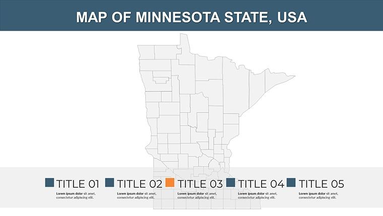
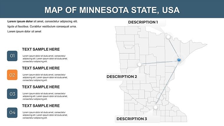
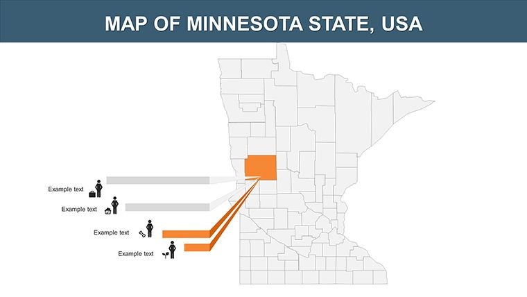
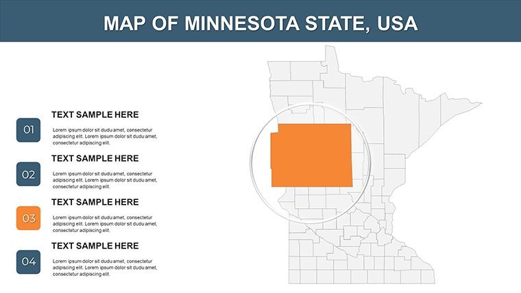
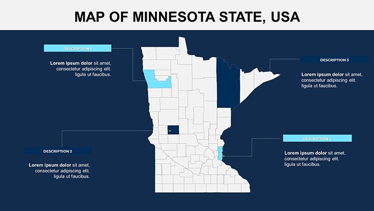
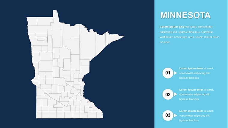
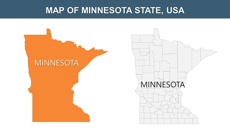
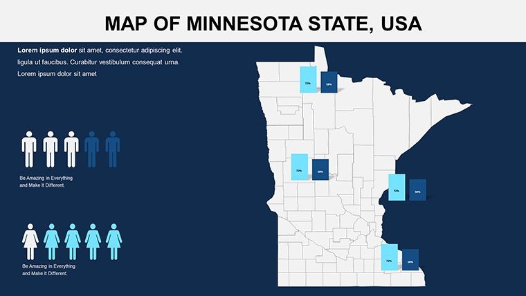
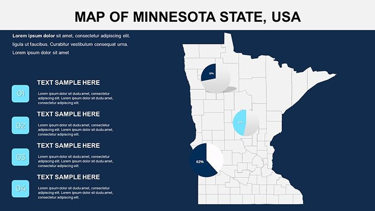
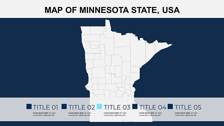
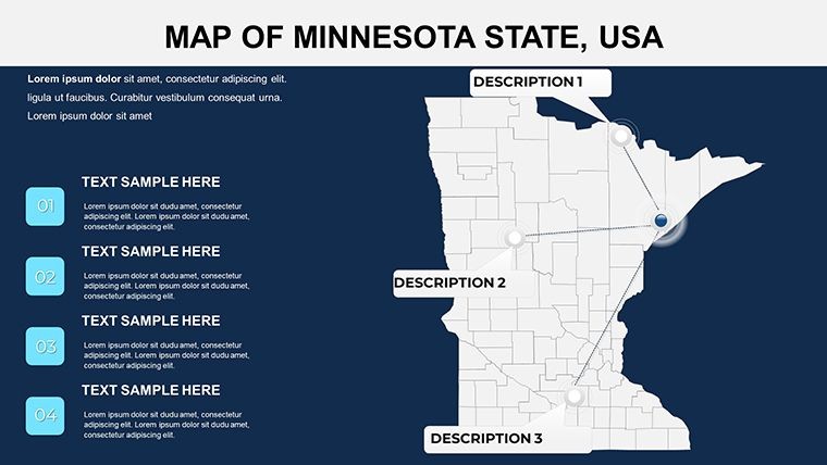
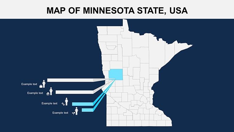
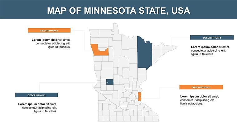
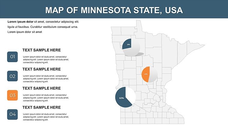
Picture yourself in a Minneapolis boardroom, unveiling a dynamic map that traces Minnesota's 87 counties and their economic pulse - from the iron ranges in the north to the fertile farmlands of the south. This Minnesota Keynote Map Template is crafted for savvy professionals such as regional economists, environmental consultants, and academic presenters who demand precision in visualizing the Land of 10,000 Lakes. Boasting 26 editable slides, it goes beyond static images, offering tools to infuse your data with life through custom animations and seamless customizations. Say goodbye to tedious redraws; this template streamlines your process, letting you focus on insights rather than formatting, and delivers presentations that resonate with clarity and sophistication.
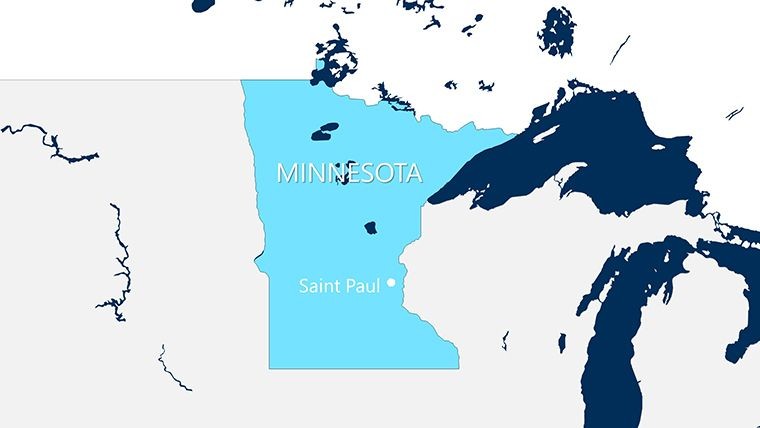
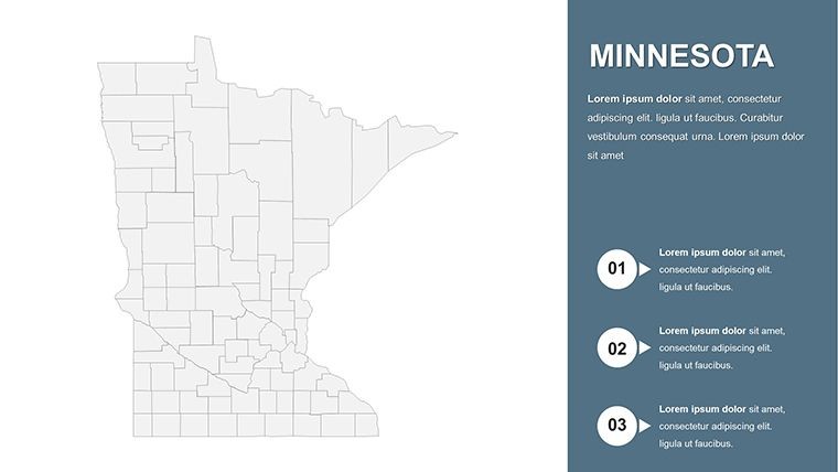
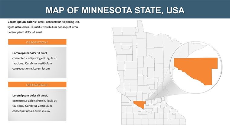
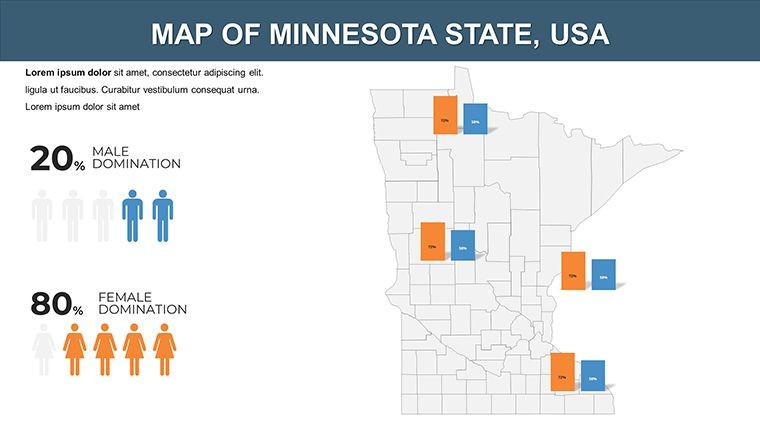
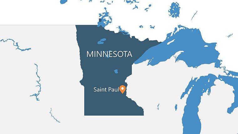
At its heart, the template captures Minnesota's geography with vivid detail, bordered by Wisconsin to the east and the Dakotas to the west. Each slide is a canvas for storytelling: highlight biotech hubs in the Twin Cities or map out tourism routes around Boundary Waters. Fully compatible with Apple Keynote, it supports effortless integration of photos, texts, and graphs, making it a go-to for those tackling state-specific challenges like sustainable agriculture or urban sprawl. Drawing from practices used by firms like Target Corporation in their annual reports, this tool helps quantify growth, such as the state's thriving medical device industry, turning numbers into narratives that drive decisions.
Essential Features for Dynamic Minnesota Visuals
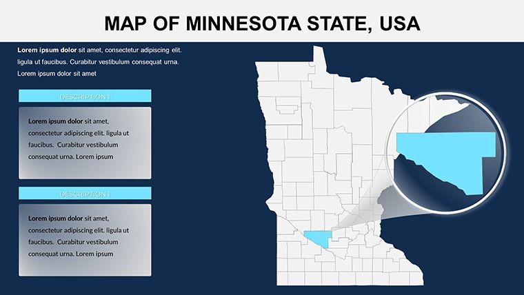
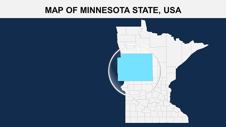
The template's robustness lies in its editable framework. Slide 0 sets the stage with a full-state overview, while later ones dissect counties for targeted views. Users can alter borders, add legends, or embed live data links, all while preserving the map's integrity.
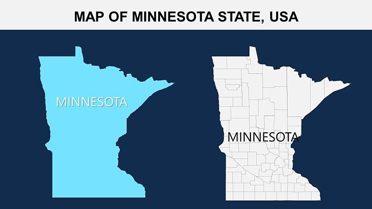
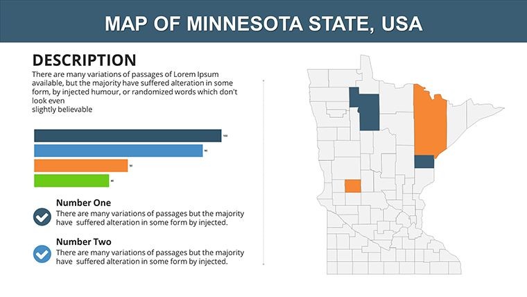
- County-Level Detailing: 87 counties rendered with accurate borders and labels for in-depth analysis.
- Custom Animation Support: Animate paths to simulate data flows, like river trade routes.
- Easy Customization: Change hues to denote demographics or environmental zones effortlessly.
- High-Quality Vectors: Ensure scalability for digital or print use without pixelation.
Unlike standard Google Slides options, this Keynote exclusive provides deeper editing layers, akin to professional GIS tools but user-friendly. A consulting group in St. Paul leveraged it for a client proposal on renewable energy, boosting visual appeal and securing the contract - real evidence of its edge in competitive scenarios.
Navigating the Slides: A Practical Guide
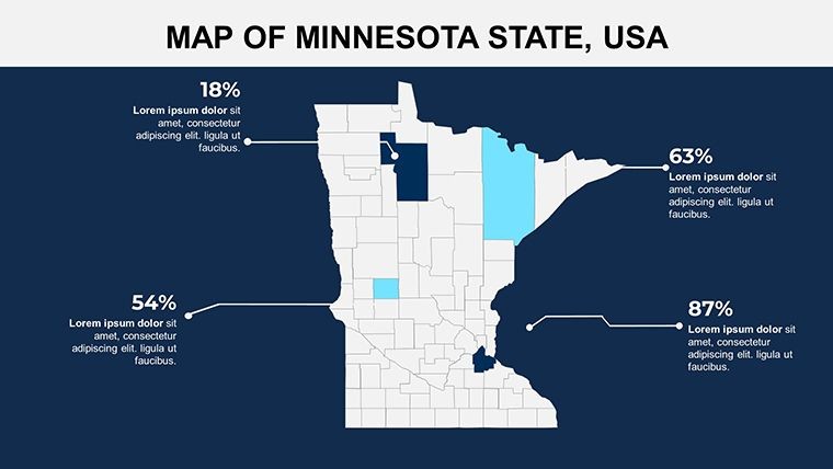
Begin with Slides 1-6 for broad landscapes, incorporating lakes and rivers as interactive overlays. Slides 7-16 zoom into central counties, ideal for plotting agricultural yields. The final Slides 17-25 cover northern regions, where you can visualize mining operations or wildlife corridors. Pro tip: Use Keynote's build effects to fade in county stats, creating a reveal that mirrors Minnesota's emerging opportunities.
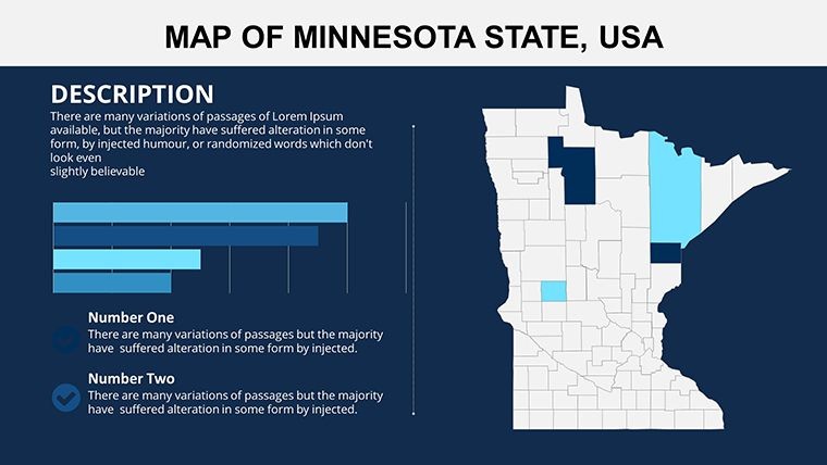
- Import your dataset into the placeholders.
- Align colors with seasonal themes, like autumn tones for harvest data.
- Preview in full-screen to mimic presentation delivery.
- Collaborate via shared Keynote links for team input.
Tailored Use Cases: Bringing Minnesota Data to Life
In corporate settings, map retail expansions across the Iron Range, integrating sales forecasts for a compelling pitch. Educators might use it for geography classes, tracing the Mississippi River's path and its historical significance. For environmentalists, overlay conservation efforts in the Boundary Waters, aligning with initiatives from the Minnesota Pollution Control Agency.
Expert advice: Limit overlays to essential layers to maintain readability - focus on what tells your core story. This method, endorsed by data visualization pros, ensures your maps inform without overwhelming, whether discussing the state's cold climate impacts or booming tech sector.
Elevate Your Presentations with Precision Mapping
This template isn't just about maps; it's about empowering your voice in Minnesota's vibrant landscape. With its intuitive tools, you'll craft visuals that inform, persuade, and inspire. Whether for a venture capital meeting or a public seminar, it's designed to adapt. Grab it today and chart your path to standout success - your next presentation awaits transformation.
Harness the power of localized data visualization to connect with audiences on a deeper level. This Minnesota Keynote Map Template delivers that and more, turning geographic facts into strategic assets.
Frequently Asked Questions
How editable are the Minnesota county maps?
Every element, from borders to labels, is fully modifiable in Keynote, supporting text, color, and shape adjustments plus animation additions.
Can I add my own data visualizations?
Absolutely - placeholders allow seamless integration of charts, graphs, or photos alongside the maps.
Is it optimized for educational use?
Yes, with clear, labeled slides perfect for teaching state history, geography, or environmental science.
What file formats are included?
Primarily .key for Keynote, with vector elements exportable to other formats like PDF.
How does it handle animations?
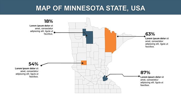
Built-in supports for custom effects let you animate county highlights or data pop-ups dynamically.
Is it suitable for large audiences?
High-res vectors ensure clarity on big screens, making it ideal for conferences or webinars.
Good for
- Project roadmaps and sprint plans
- Product launch timelines
- Quarterly or annual review decks
- Company history and milestone summaries
Licence
reviews
Used this for a geography class and the map slides saved me some time.
The arrows and location markers were easy to edit even on my old MacBook.
I only needed 3 slides from it but the layout looked clean enough.
Colors are a bit dull but the map graphics worked for my report.
Finished a last minute presentation with this and didn’t have to redesign anything.
FAQ
Will it work in Google Slides?
Are fonts embedded?
Can I use this for client work?
What's the refund policy?
Do you update the template after purchase?
Similar templates
See all Keynote Maps →

All 26 slides