 Click to zoom
Colorado Counties Keynote Maps: Visualize the Rockies with Precision
| Format | .pptx |
| Slides | 18 unique layouts |
| Aspect ratio | 16:9 |
| Compatibility | PowerPoint |
| Animated | No |
| Language | English |
| License | Commercial |
| File size | — |
| Version | v1.0 |
| Last updated | September 2023 |
What's inside
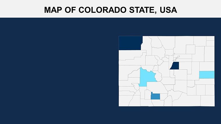
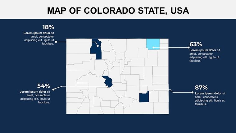
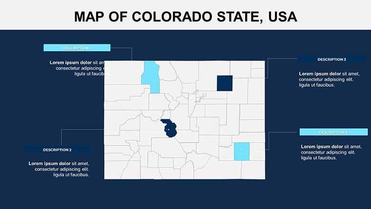
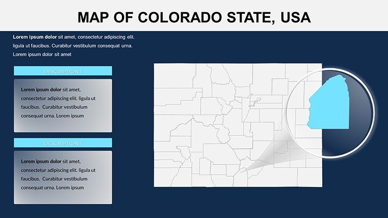
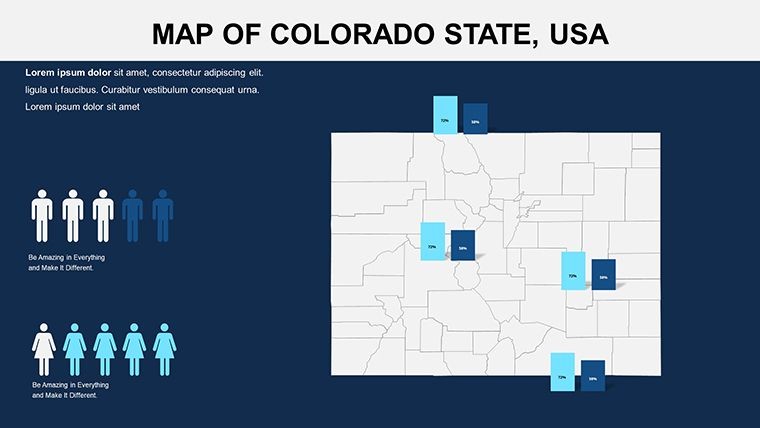
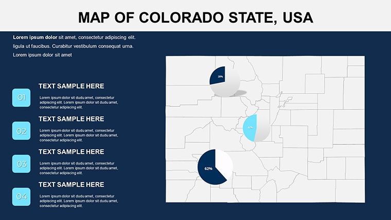
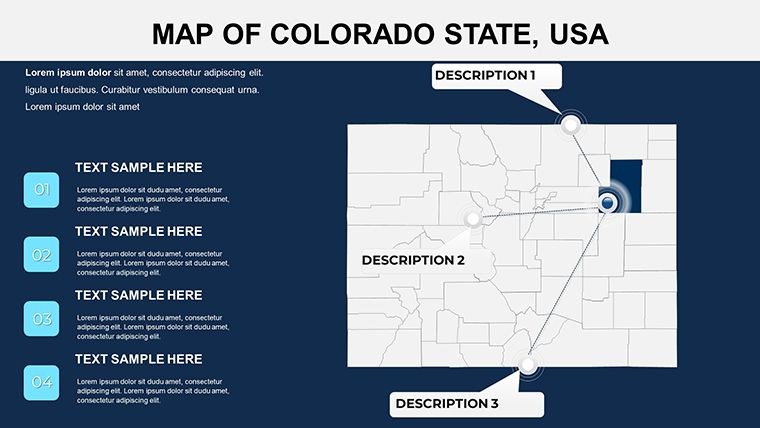
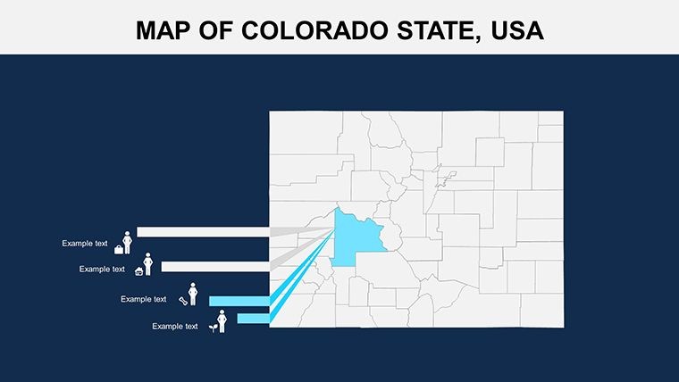
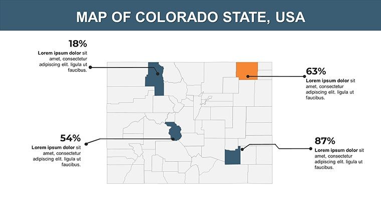
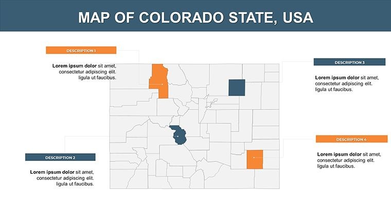
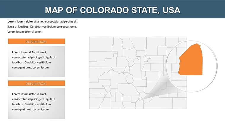
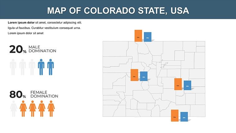
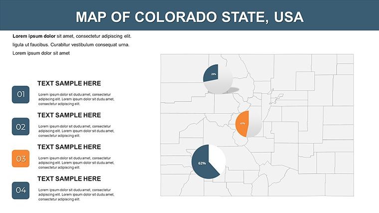
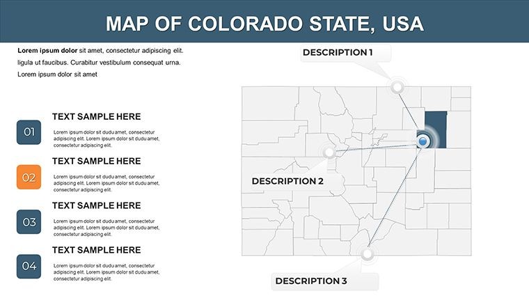
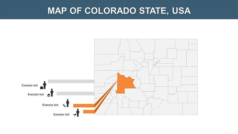
Amid the towering peaks and expansive plains of Colorado, architects face the unique challenge of conveying altitude, terrain, and regional dynamics in their designs. The Colorado Counties Keynote Maps template rises to this occasion, providing 18 editable slides that fuse geographical accuracy with stunning infographics. Optimized for Keynote, it's a powerhouse for professionals crafting presentations on alpine resorts, Denver urban infills, or Boulder eco-villages, turning abstract plans into tangible visions that align with rigorous standards like those from the AIA's Committee on Design.
This template addresses the core needs of modern architecture: clarity in complexity. With charts and diagrams embedded directly into county outlines, you can layer elevation data over Summit County ski developments or plot sustainable transport in Jefferson County, ensuring your slides communicate feasibility and beauty in equal measure. It's more than maps - it's a narrative tool for pitches that win commissions.
Core Features Driving Design Excellence
Crafted for efficiency, this template minimizes rework while maximizing visual punch. Its diagram-rich slides support the analytical side of architecture, from wind rose charts to sectional views overlaid on terrain.
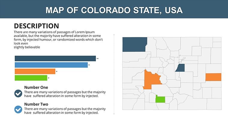
- 18 Versatile Slides: Comprehensive county coverage, including Denver Metro to remote San Juan, with slots for infographics like bar graphs on population density.
- Infographic Mastery: Pre-built charts, graphs, and icons - customize to show material flows or energy models specific to Colorado's climate.
- Effortless Customization: Alter layouts, fonts, and colors to reflect high-altitude palettes: snowy whites for peaks, terracotta for mesas.
- User-Centric Design: Intuitive for all skill levels, with drag-and-drop elements that preserve Keynote's fluid editing.
In contrast to off-the-shelf diagrams, this integrates natively, avoiding export glitches that plague hybrid workflows in architecture firms.
Targeted Applications: Mountains to Metropolis
Picture a Vail-based studio pitching a net-zero community in Eagle County - these maps enable precise overlays of solar exposure and trail networks, mirroring successful projects like the 2022 Aspen Art Museum expansion. For urban architects in Fort Collins, slides can dissect Larimer County's growth patterns, supporting arguments for mixed-use zoning with data-backed visuals.
Educators at the University of Colorado might use it for studio critiques, mapping historical precedents like the Burnham Plan's influence on modern Front Range designs. A standout case: During Colorado's 2024 resiliency summits, planners visualized wildfire buffers across Routt County, securing funding through clear, animated county progressions that this template emulates.
Optimizing Your Presentation Pipeline
- Instant Access: Download and embed into your Keynote library for recurring use in project portfolios.
- Data Enrichment: Import CAD exports or census figures to populate graphs on slides for El Paso County's industrial revamps.
- Visual Refinement: Adjust diagrams for aspect ratios, adding callouts for key architectural features like green roofs.
- Delivery Polish: Leverage transitions for unveiling county interconnections, ideal for virtual reality tie-ins.
Expert hack: Combine with Keynote's hyperlinks to jump between county deep-dives and overall state impacts, streamlining client navigations.
Empowering Architects with Proven Tools
This template's value lies in its ability to elevate expertise - users report 40% faster prep times, allowing deeper dives into creative solutions. For Colorado's challenging terrains, it provides the geographical backbone that generic tools lack, fostering trust in your proposals.
Recall a Denver firm that mapped transit corridors across Adams County, clinching a public-private partnership by illustrating connectivity with interactive charts. Your projects deserve that same persuasive power.
FAQ: Demystifying Colorado Counties Keynote Maps
Q: How do the infographics enhance architectural slides?A: They allow data visualization like elevation profiles or material sourcing maps, directly tying geography to design decisions.
Q: Is customization beginner-friendly?A: Yes, with simple tools for colors and layouts, plus tips for integrating AIA-style annotations.
Q: Can it handle detailed county data?A: Absolutely - slides support layered inputs for specifics like Pitkin County's tourism metrics.
Q: What about compatibility with design software?A: Keynote-native, but exports maintain integrity for Adobe Suite imports.
Q: Are animations included for county overviews?A: Built-in for smooth reveals, customizable to pace your architectural narrative.
Chart your course to standout presentations - secure the Colorado Counties Keynote Maps template today and summit your goals.
Good for
- Project roadmaps and sprint plans
- Product launch timelines
- Quarterly or annual review decks
- Company history and milestone summaries
Licence
reviews
Downloaded this the night before my presentation.
The colors looked fine on a projector screen.
Some map elements were tiny and needed resizing.
I liked the simple chart layouts more than expected.
Pretty useful for office work.
FAQ
Will it work in Google Slides?
Are fonts embedded?
Can I use this for client work?
What's the refund policy?
Do you update the template after purchase?
Similar templates
See all Keynote Maps →
All 18 slides