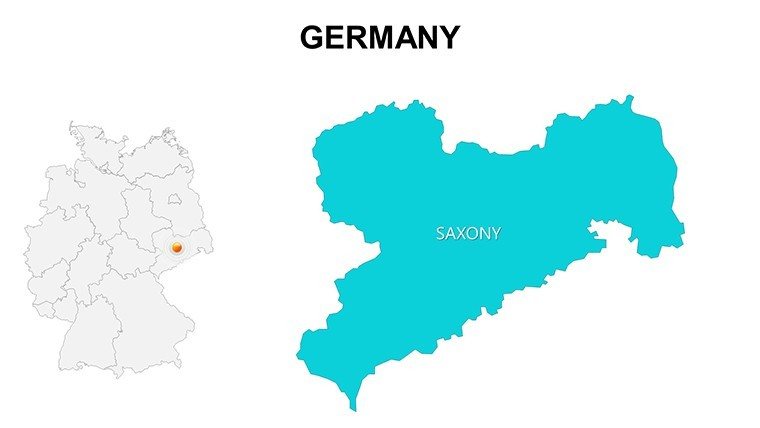
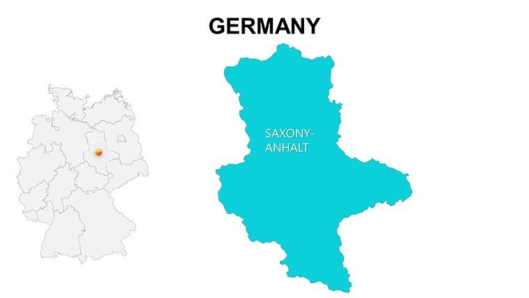
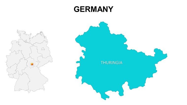
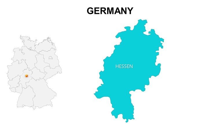
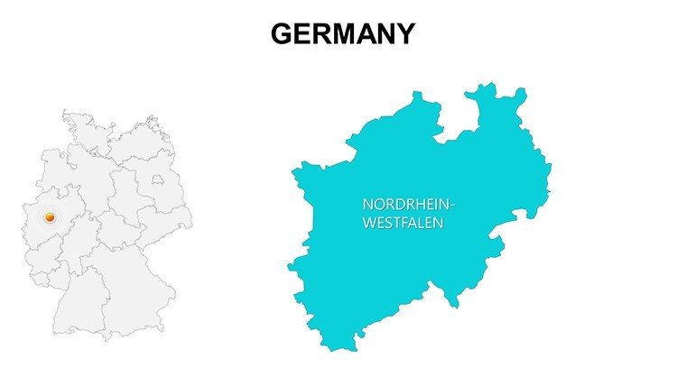
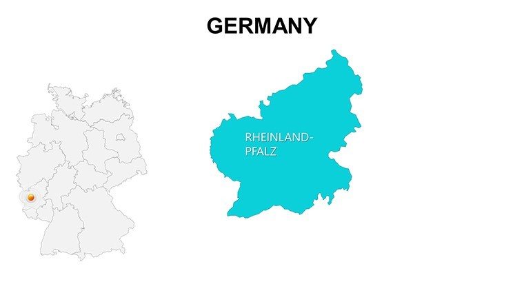
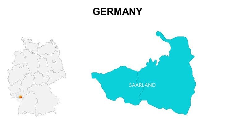
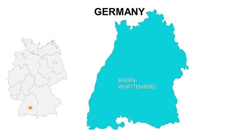
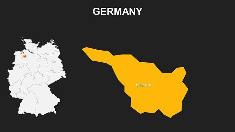
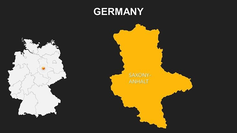
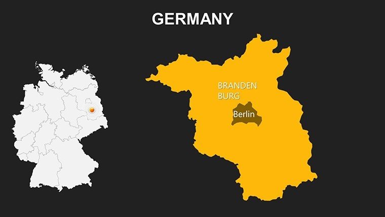
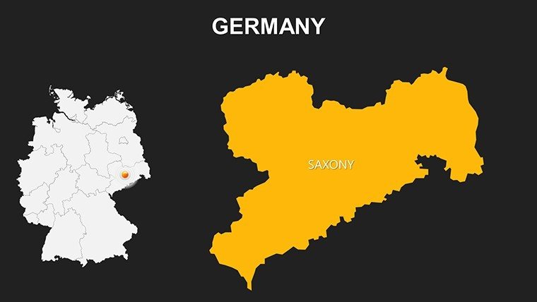
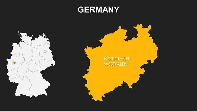
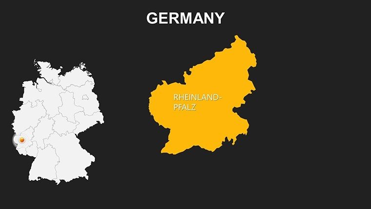
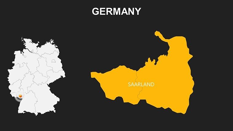
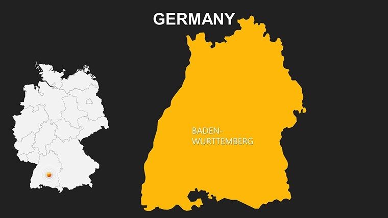
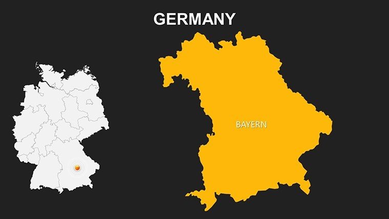
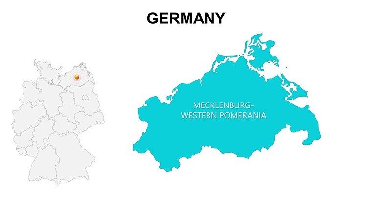
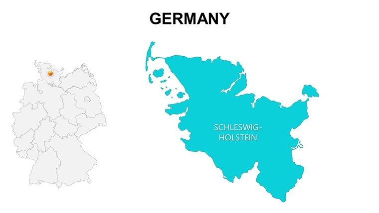
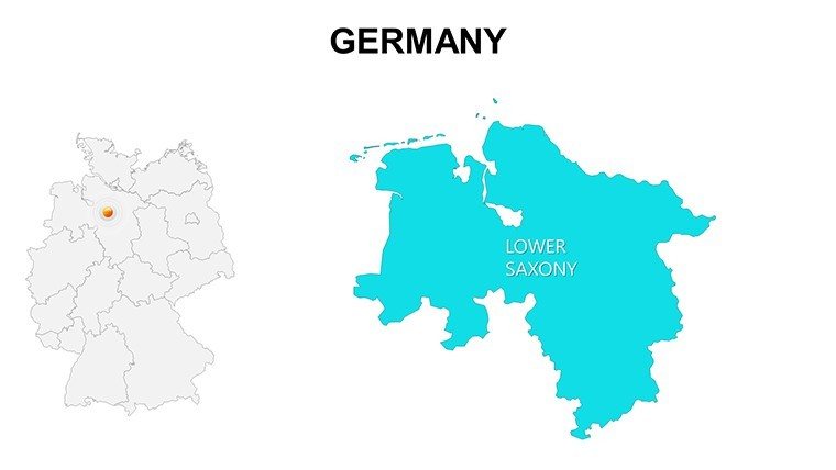
 Click to zoom
Maps of Germany Europe for PowerPoint: Explore Continental Precision
| Format | .pptx |
| Slides | 36 unique layouts |
| Aspect ratio | 16:9 |
| Compatibility | PowerPoint |
| Animated | No |
| Language | English |
| License | Commercial |
| File size | — |
| Version | v1.0 |
| Last updated | May 2024 |
What's inside
Visualize the heartbeat of Europe - from the industrial might of Germany's Ruhr Valley to the expansive borders of the EU - with our Maps of Germany Europe for PowerPoint template. Boasting 36 editable slides, this resource is tailored for executives, historians, and travel planners seeking to weave geographic narratives that resonate. Transform abstract strategies into tangible maps that guide audiences through Europe's complex terrain.
Europe's geopolitical landscape demands accurate, adaptable visuals, especially for Germany as a central hub. This template overcomes limitations of static images by offering dynamic, high-res elements compatible with PowerPoint and Google Slides. It caters to users frustrated by imprecise tools, providing monument markers, region highlights, and color variants for bespoke designs. Aligned with European Cartographic Association principles, it's used in scenarios like EU funding proposals, enhancing credibility and clarity.
Rich Features for European Mapping Mastery
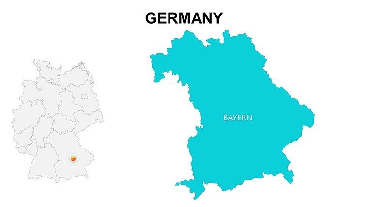
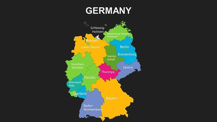
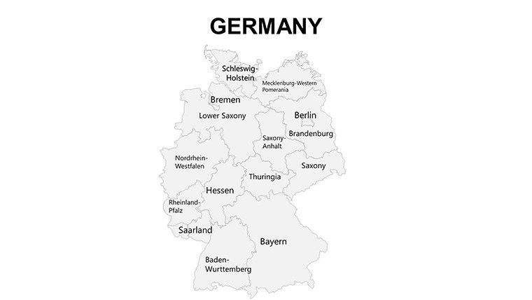
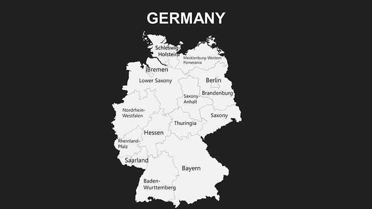
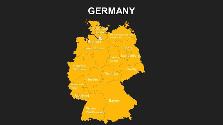
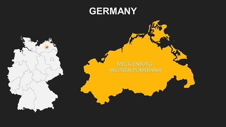
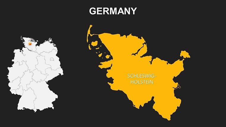
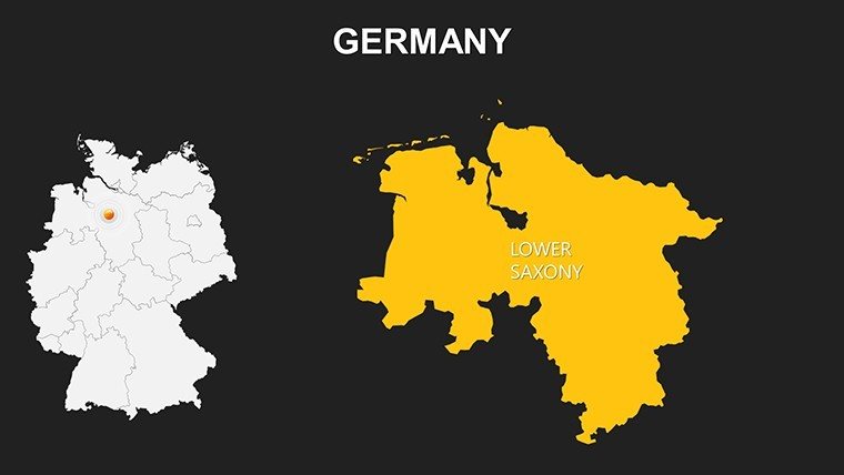
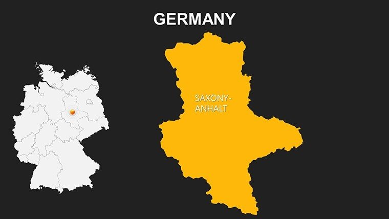
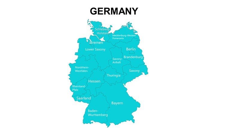
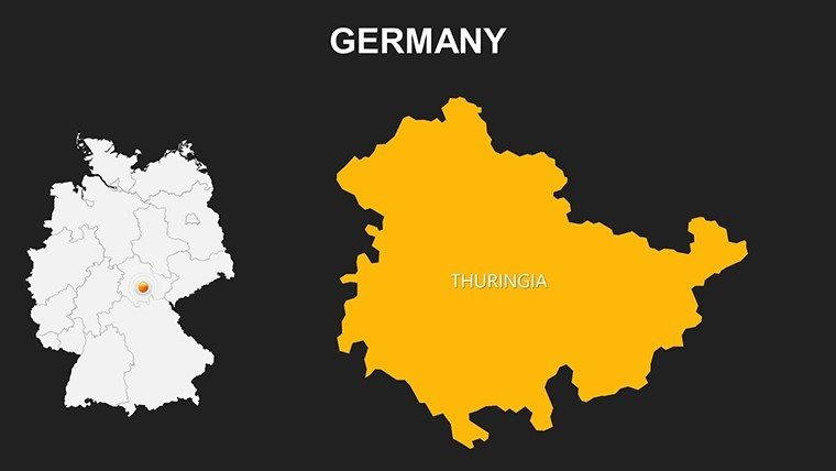
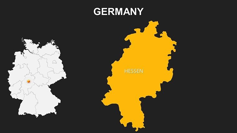
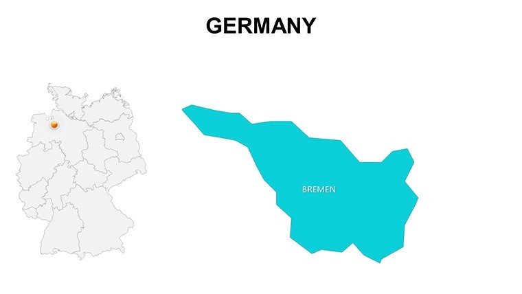
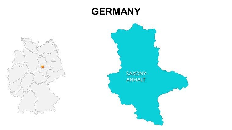
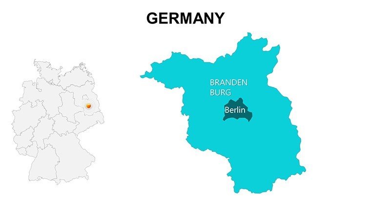
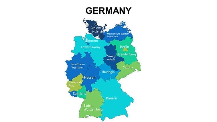
The template's depth lies in its 36 slides, spanning Germany-specific views (states, cities, landmarks) to broader European overviews (borders, capitals, features).
- High-Quality Graphics: Resolution-optimized for any display, from conference screens to handouts.
- Customization Depth: Alter colors, add labels for sites like Brandenburg Gate, or integrate symbols for trade routes.
- Icon Library: Included assets for cultural and economic annotations, enriching context.
A logistics director employed it to map supply chains across the Rhine, customizing routes to demonstrate efficiency gains, clinching a major contract. This illustrates its prowess in operational storytelling.
Strategic Applications in European Contexts
Adapt it for business to chart expansion in the Eurozone, overlaying GDP data on German Länder. Educators illustrate WWII histories or EU integrations, with slides animating border changes for immersive learning.
Travel agencies highlight scenic drives from Bavaria to the Alps, while researchers visualize migration flows using Eurostat data. In a case from a Berlin-based consultancy, customized Europe maps outlined market entries, influencing policy dialogues with tangible visuals.
- Corporate Logistics: Trace pathways through key corridors like the Danube.
- Historical Education: Detail reunification with state-by-state timelines.
- Tourism Planning: Spotlight heritage sites for engaging itineraries.
Outshining basic maps with its multi-layer support, it facilitates complex overlays without performance lags.
Expert Customization Strategies
Launch by choosing a Germany outline slide, then shade states like Hesse for focus. Employ grouping for modular edits, adding text for capitals or rivers. Sync with external datasets for live economic updates.
Adopt techniques from the European Environment Agency for thematic coloring, ensuring scientific accuracy. Use fades for continent-wide reveals, pacing narratives effectively. This elevates casual slides to conference-ready caliber.
For global teams, cloud compatibility streamlines reviews, vital for international projects.
Unrivaled Value in European Templates
Compliant with GDPR-era mapping ethics, it prioritizes data integrity. The license enables commercial scaling, with updates for new EU expansions. A university lecturer commended its role in Erasmus+ seminars, simplifying cross-border analyses.
Combine with other Europe sets for comprehensive atlases, amplifying utility.
Chart Europe's Future with Confidence
Empower your presentations with the depth Europe deserves. Download the Maps of Germany Europe for PowerPoint template today and bridge continents with your vision. Customize, present, prevail.
Frequently Asked Questions
Does it include all EU countries?
Focuses on Germany and broader Europe; select slides cover major neighbors.
Are landmarks editable?
Yes, icons and labels are fully adjustable for personalization.
Compatible with older PowerPoint?
Works with 2013+, optimized for recent versions.
Can I use it for print materials?
Vector format ensures high-quality prints for brochures or posters.
Any color scheme options?
Multiple presets, plus full RGB customization.
Support for animations?
Basic included; enhance with PowerPoint's timeline tools.
Good for
- Project roadmaps and sprint plans
- Product launch timelines
- Quarterly or annual review decks
- Company history and milestone summaries
Licence
reviews
Used it during a team update and the map graphics made the data easier to follow.
The slide layout felt organized even after I added too much text.
Some chart elements needed resizing but overall it worked.
Grabbed this an hour before my presentation and thankfully the maps were editable.
I liked the small location icons more than the actual charts.
FAQ
Will it work in Google Slides?
Are fonts embedded?
Can I use this for client work?
What's the refund policy?
Do you update the template after purchase?
Similar templates
See all PowerPoint Maps →

All 36 slides