 Click to zoom
Elevate Insights with the Pro Ukraine PowerPoint Maps Template
| Format | .pptx |
| Slides | 37 unique layouts |
| Aspect ratio | 16:9 |
| Compatibility | PowerPoint |
| Animated | No |
| Language | English |
| License | Commercial |
| File size | — |
| Version | v1.0 |
| Last updated | May 2024 |
What's inside
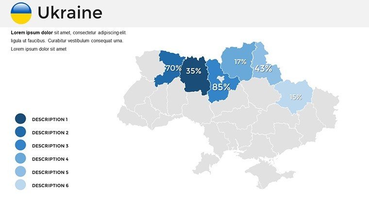
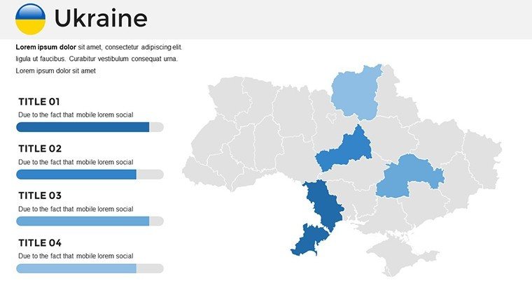
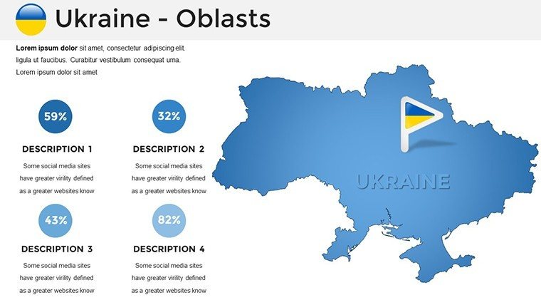
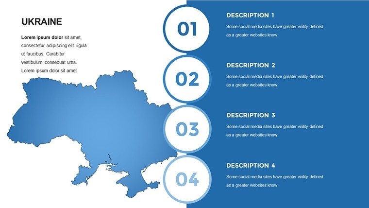
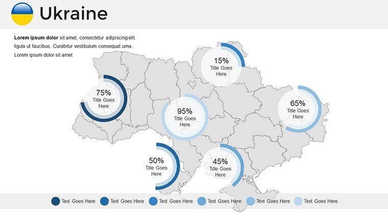
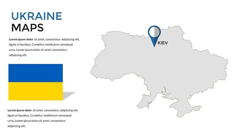
Envision mapping Ukraine's resilient spirit - from the golden domes of Kyiv to the Carpathian trails - while layering in demographic trends that tell a story of innovation amid history. Our Pro Ukraine PowerPoint Maps Template delivers exactly that: 37 editable slides that blend geographic precision with narrative depth, ideal for researchers, diplomats, and educators seeking to illuminate Eastern Europe's complexities.
This template transcends simple cartography; it's a toolkit for advocacy and analysis, compatible across PowerPoint and Google Slides for global collaboration. Whether charting NGO aid distributions in Donetsk or tourism recoveries in Lviv, it empowers you to craft visuals that foster understanding and action. Informed by geospatial standards from the UN's cartographic guidelines, it helps users like those at the Wilson Center produce decks that influence policy and hearts alike.
Efficiency is key here - import OSINT data, tweak oblast boundaries, and animate conflict resolutions in minutes. Feedback from Ukrainian diaspora professionals highlights how it cuts visualization hurdles, letting focus shift to substantive discourse.
Core Features Driving Professional Depth
Discover the robust elements that position this Ukraine map template as a staple for serious presentations, emphasizing scalability and insight.
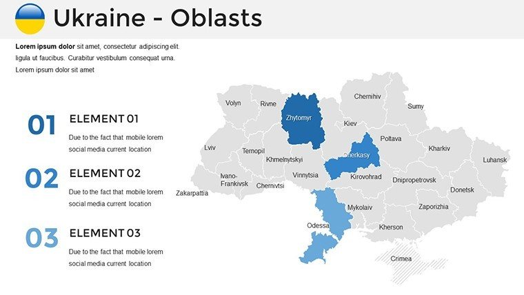
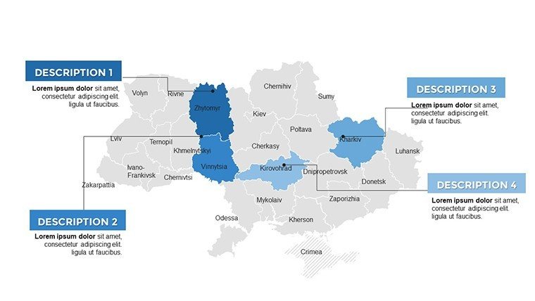
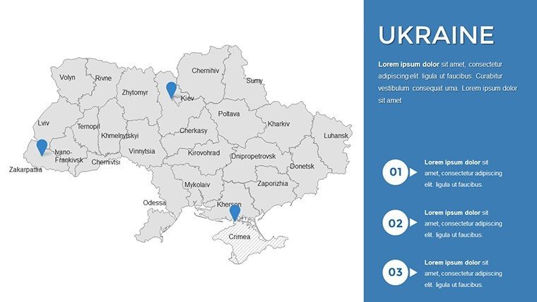
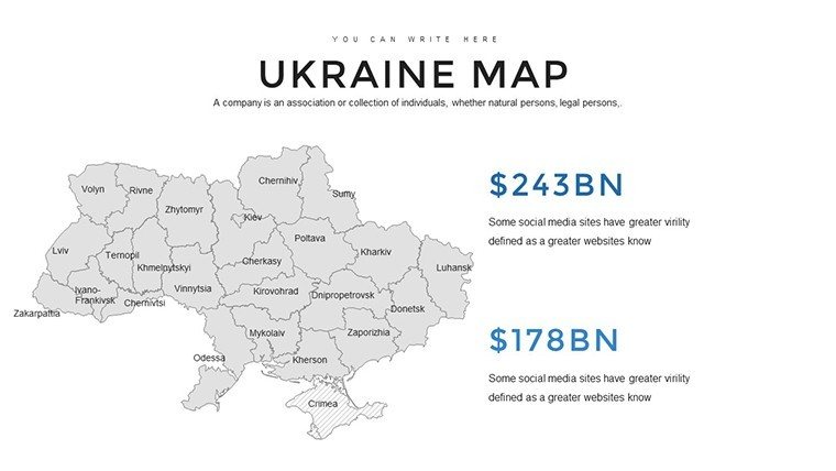
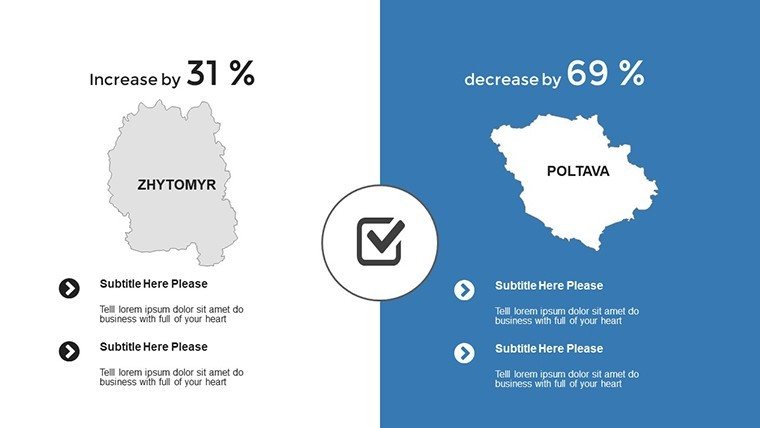
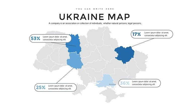
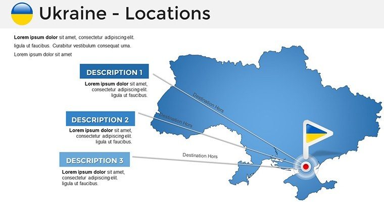
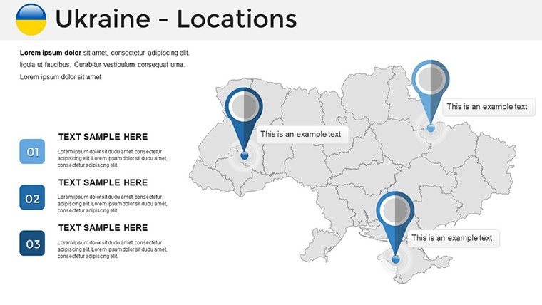
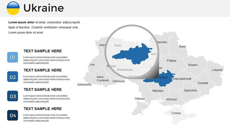
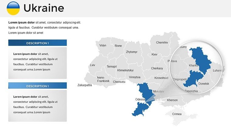
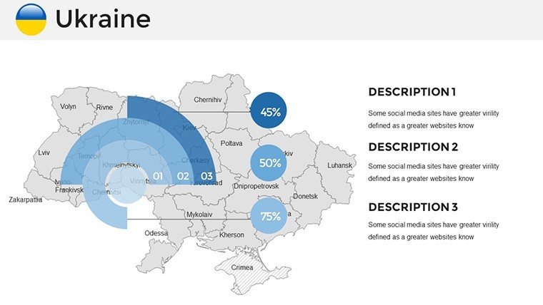
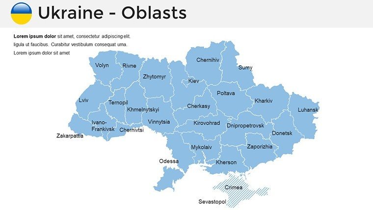
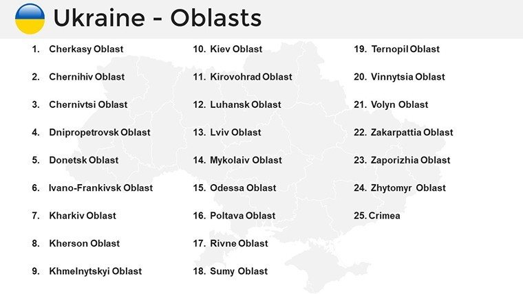
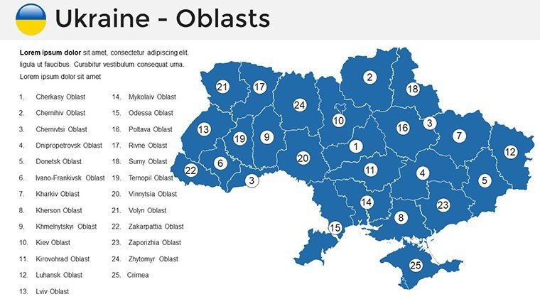
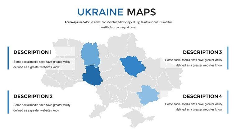
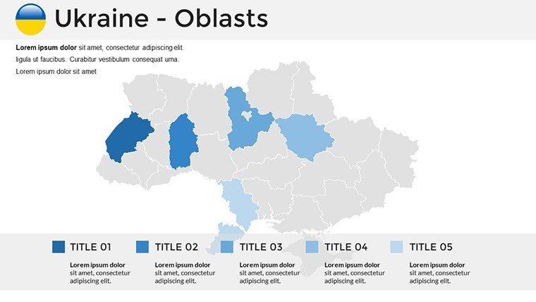
- Comprehensive Editable Maps: Full coverage of 24 oblasts, Crimea details, and major cities like Odesa. Edit labels, add buffers for conflict zones, or integrate satellite overlays.
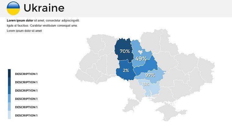
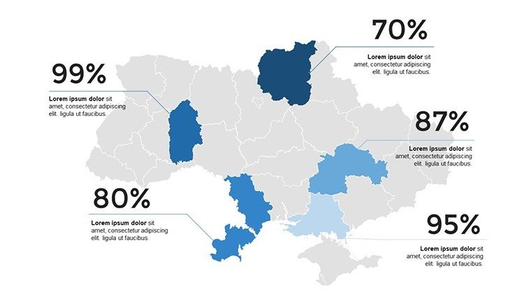
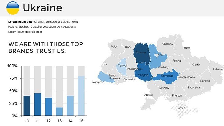
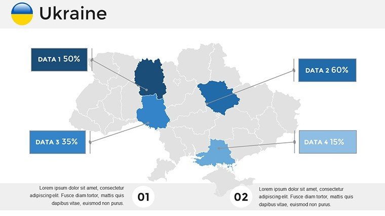
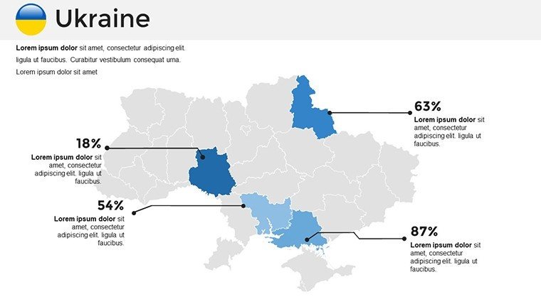
- Vector-Based Geographic Tools: Smooth scaling for high-res prints; embed choropleth maps for election results or crop yields.
- Cultural Icon Sets: 80+ symbols from Cossack motifs to modern tech hubs, customizable for thematic resonance.
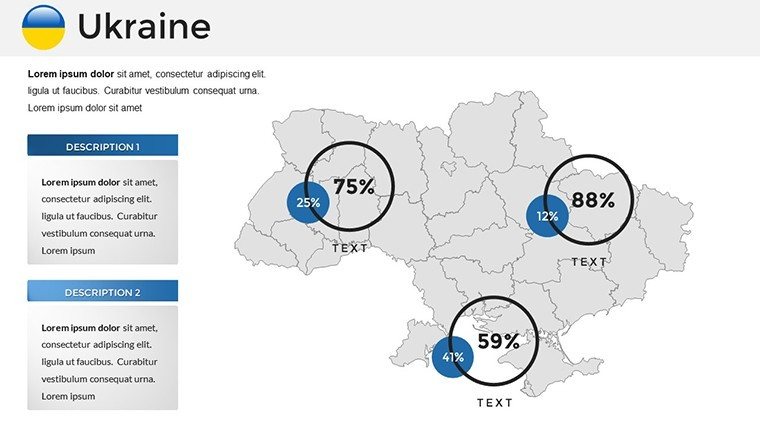
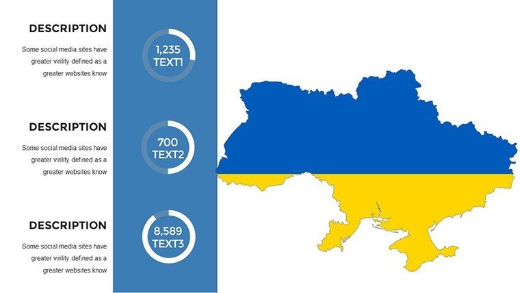
- Advanced Data Visuals: Sankey diagrams for migration flows, bubble charts for energy resources, and layered timelines for independence milestones.
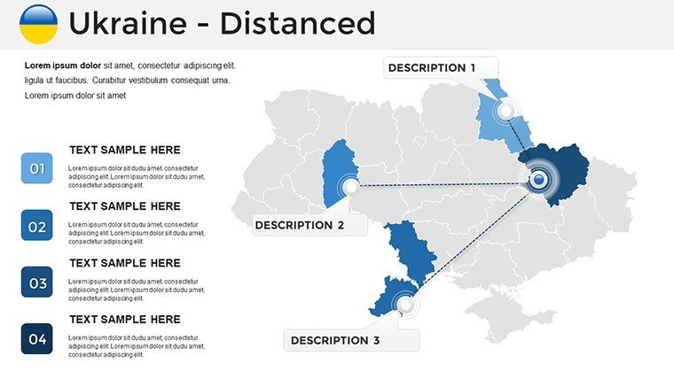
- Adaptive Layouts: Modular grids for multi-panel views, like juxtaposing Black Sea ports with inland agriculture.
Crafted with Eastern European expertise in mind, these features support nuanced storytelling, from resilience reports to heritage celebrations.
Targeted Applications: Impact in Action
Step into a Geneva conference room, where an NGO lead uses this template to overlay humanitarian corridors on a Ukraine map, sequencing aid timelines with impact metrics. It's reminiscent of OSCE briefings that swayed international support, turning data into diplomacy.
For tourism revival pitches, highlight safe routes to Chernobyl's exclusion zone or Rivne's amber mines, with ROI projections via integrated graphs. Academia thrives too - professors at Taras Shevchenko University animate Holodomor remembrances, deepening student empathy.
Here's your roadmap to mastery:
- Source and Slot Data: Link to World Bank APIs for auto-populating economic indicators.
- Refine Regions: Shade oblasts by development indices, hyperlink to case files.
- Weave in Context: Insert archival images beside modern stats for poignant contrasts.
- Animate Authentically: Fade in historical layers to reveal evolutions, building emotional arcs.
- Share Strategically: Embed QR codes for deeper dives, extending reach beyond the slide.
Such tactics have amplified voices in forums like the Davos Ukraine House, proving the template's role in global conversations.
Beyond Basics: Superiority in Every Layer
Ditch PowerPoint's generic globes for this tailored Ukraine arsenal - no GIS plugins needed, just native prowess. Infused with LSI like "Eurasian data mapping" and "oblast analytics," it boosts visibility while adhering to accessibility norms for multilingual audiences.
Researchers laud its granularity for thesis defenses; policymakers, its clarity for briefings. It's the bridge between raw data and resonant rhetoric.
Insider Strategies for Peak Performance
Pro tip: Pair with AR apps for hybrid events, letting attendees "walk" virtual maps. For a touch of levity in heavy topics, include a fun fact slide on Ukraine's sunflower supremacy. Ultimately, it's about humanizing geography - let this template guide your hand.
Don't wait for the next deadline: Secure the Pro Ukraine PowerPoint Maps Template today and author the maps that matter.
Frequently Asked Questions (FAQ)
Q: How detailed are the regional maps?A: Extremely - down to oblast and raion levels, with editable paths for custom delineations.
Q: Supports sensitive data handling?A: Yes, offline editing and export options safeguard confidential info.
Q: Ideal for virtual presentations?A: Optimized with lightweight files and smooth animations for Zoom or Teams.
Q: Includes historical elements?A: Built-in timelines and icons for eras like Kievan Rus to present day.
Q: Compatible with older PowerPoint versions?A: Works from 2016 onward, with fallback for legacy users.
Q: Can it integrate external data sources?A: Seamlessly - paste from CSV or connect to live feeds for dynamic updates.
Good for
- Project roadmaps and sprint plans
- Product launch timelines
- Quarterly or annual review decks
- Company history and milestone summaries
Licence
reviews
Used this for a project update with location statistics.
The slide arrangement actually made sense which surprised me.
A couple icons looked old fashioned but I ignored it.
The maps stayed readable even after adding more labels.
Pretty useful when you need something ready quickly.
FAQ
Will it work in Google Slides?
Are fonts embedded?
Can I use this for client work?
What's the refund policy?
Do you update the template after purchase?
Similar templates
See all PowerPoint Maps →
All 37 slides