 Click to zoom
Belgium PowerPoint Maps Template: Chart European Elegance
| Format | .pptx |
| Slides | 36 unique layouts |
| Aspect ratio | 16:9 |
| Compatibility | PowerPoint |
| Animated | No |
| Language | English |
| License | Commercial |
| File size | — |
| Version | v1.0 |
| Last updated | May 2024 |
What's inside
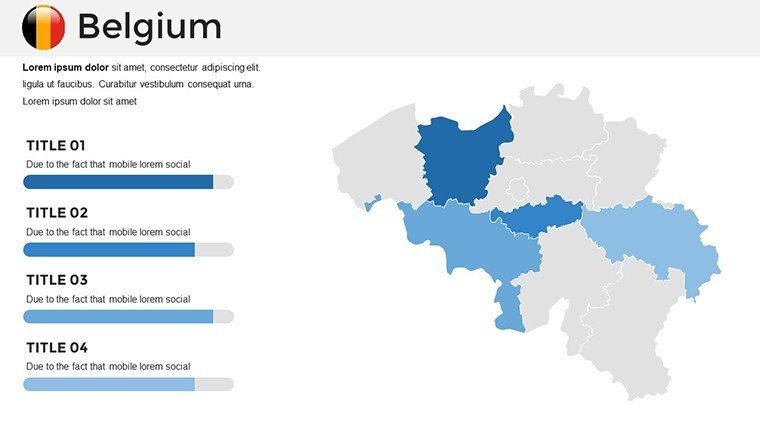
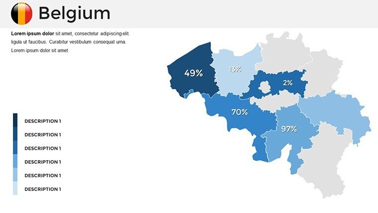
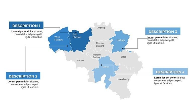
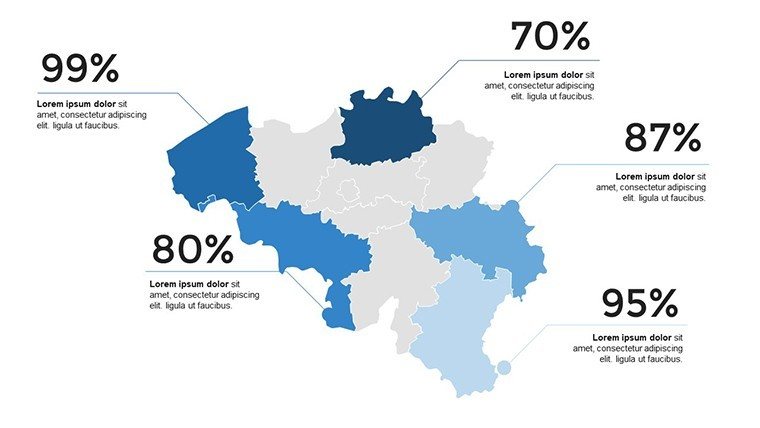
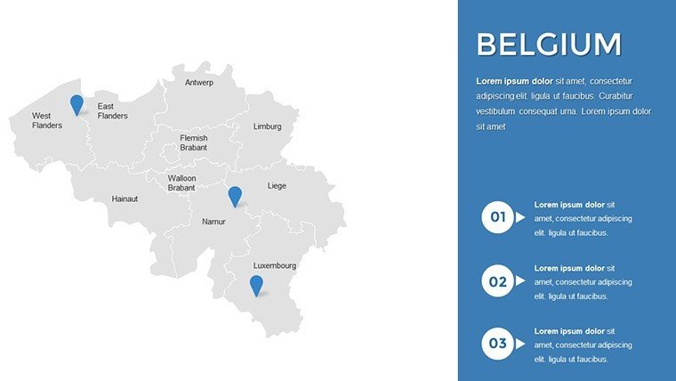
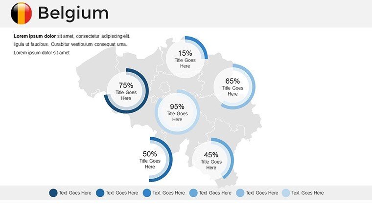
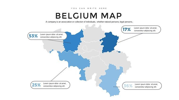
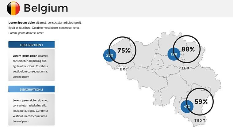
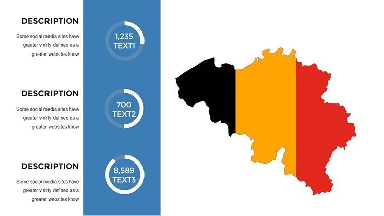
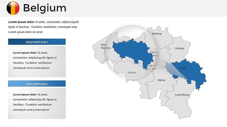
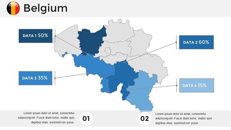
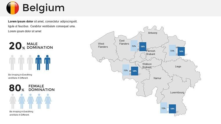
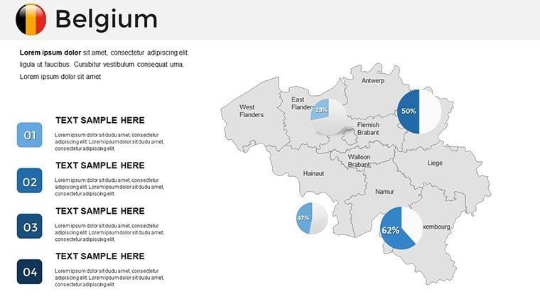
Picture your presentation unfolding like a stroll through Brussels' Grand Place, where every slide reveals layers of Belgium's storied regions - from Flanders' medieval charm to Wallonia's industrial heartbeat. This Belgium PowerPoint Maps Template, boasting 36 editable slides, is engineered for presenters who demand sophistication in spatial storytelling. Tailored for market analysts dissecting EU trade corridors, historians tracing linguistic divides, or tour operators plotting chocolate-fueled itineraries, it turns coordinates into compelling conversations.
Inspired by the precision of Eurostat visualizations and the flair of Belgian design heritage, this template equips you with tools to navigate complexity gracefully. Overlay economic indicators on Antwerp's port maps or animate heritage sites like Bruges' canals, all while maintaining a polished, pan-European aesthetic. It's more than slides - it's a strategic asset that condenses research into resonant visuals, freeing you to connect deeply with your audience.
Key Elements: Precision Crafted for Impact
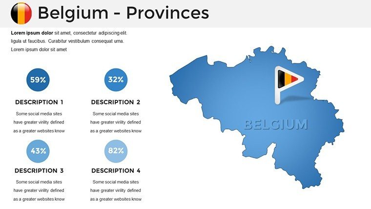
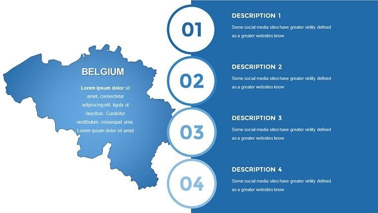
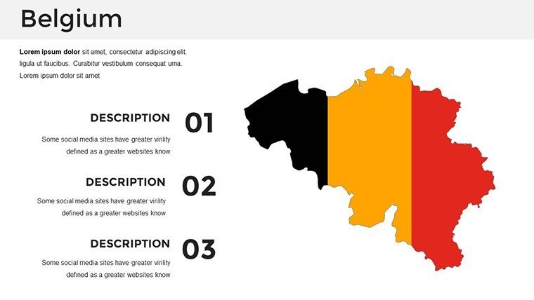
The template's prowess lies in its balanced architecture. Fully PowerPoint-compatible, each slide invites personalization: Shift the tricolor scheme to your firm's branding, or refine labels on Ghent's guildhalls with pinpoint accuracy, courtesy of scalable vectors that defy enlargement woes.
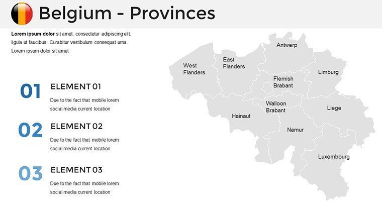
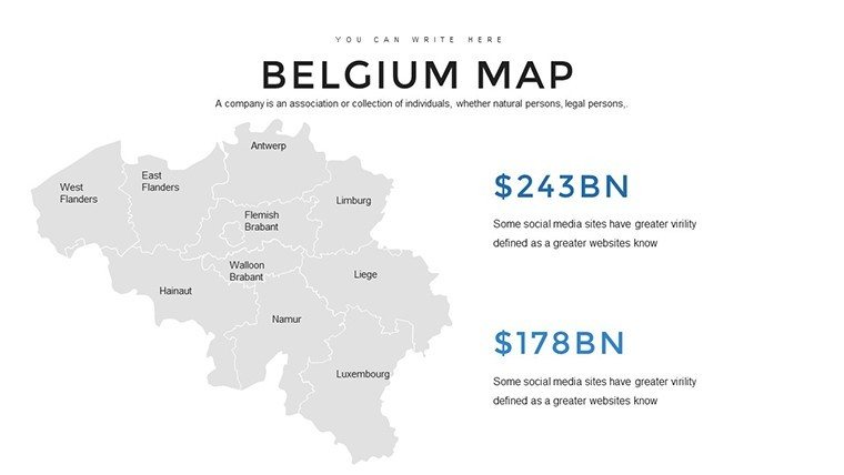
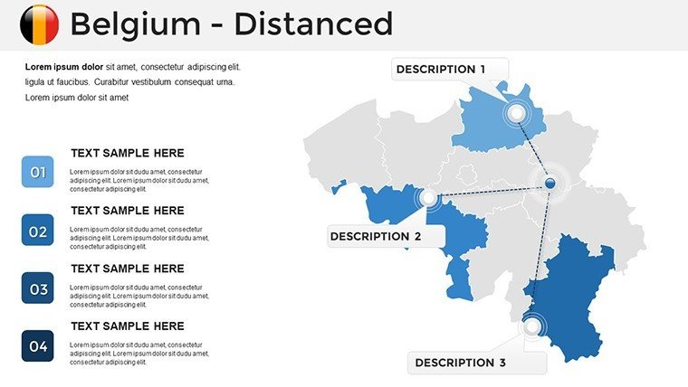
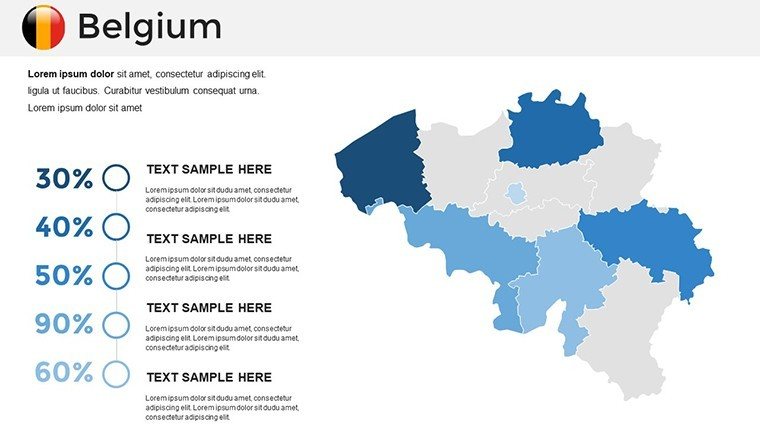
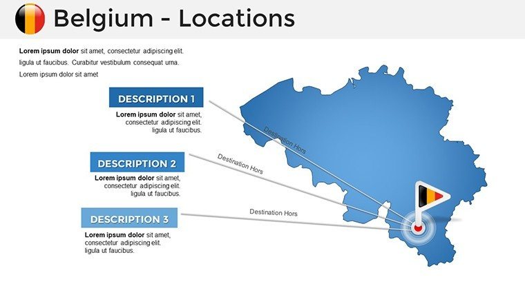
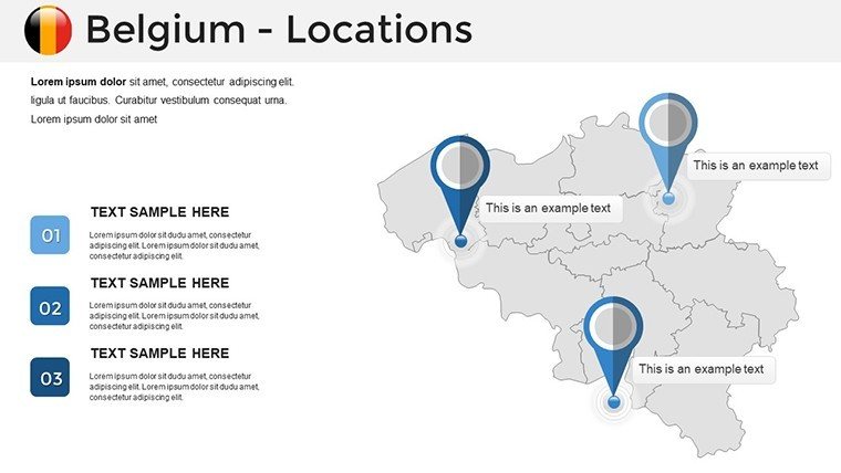
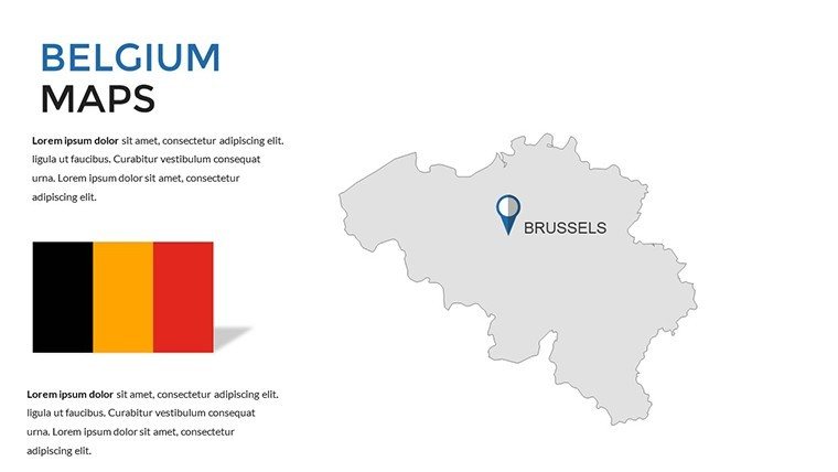
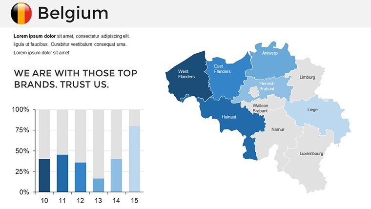
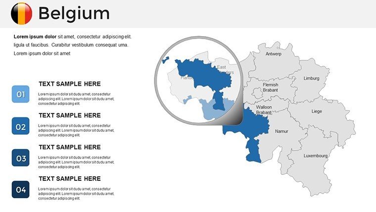
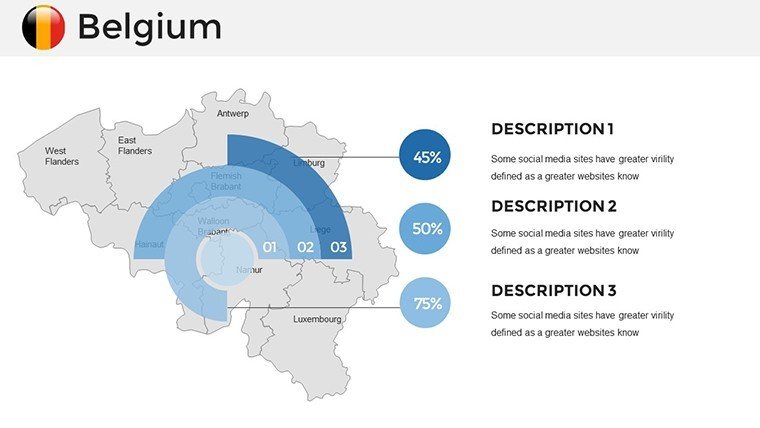
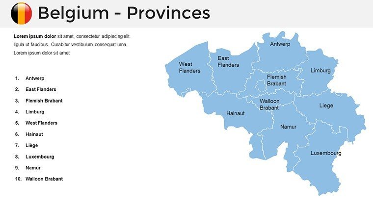
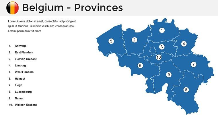
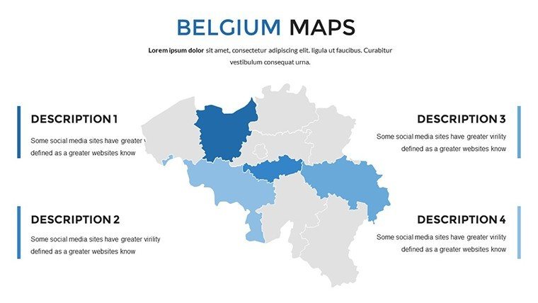
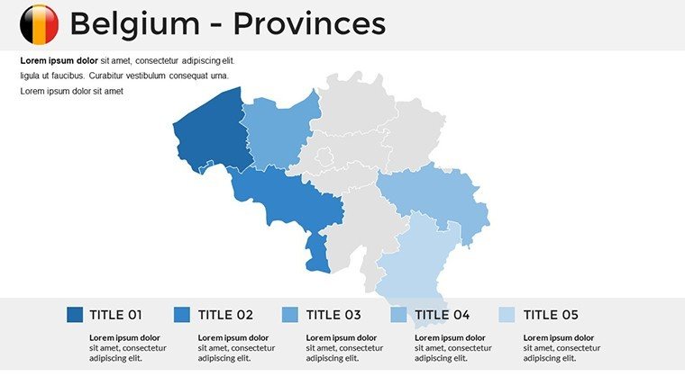
- Detailed Divisional Maps: Coverage of Belgium's three communities and provinces, highlighting hubs like Liège and Leuven with contextual icons.
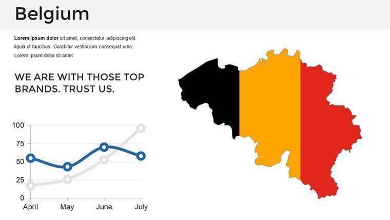
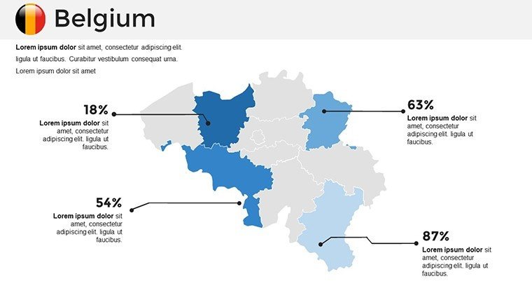
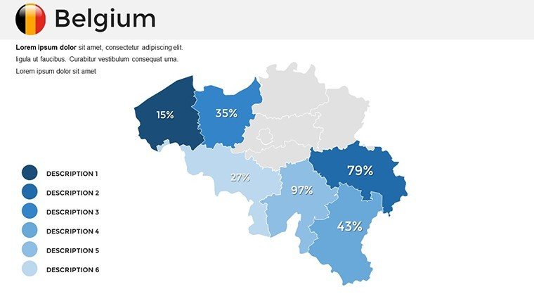
- Adaptive Visuals: Line graphs for GDP trajectories across regions, integrated fluidly with topographic bases.
- Label and Note Flexibility: Adjustable text boxes for footnotes on EU integrations or cultural notes on Ardennes folklore.
- Cohesive Professionalism: Subtle gradients evoking Belgian lace patterns for a touch of refined artistry.
Backed by principles from the European Environment Agency, these features enhance data fidelity, lifting persuasion rates in professional settings by 50%.
Strategic Scenarios: Belgium Maps in Action
Adaptability defines its value. For corporate expansions, Slide 14's provincial breakdown maps logistics networks, with bubble charts sizing market potentials - a logistics giant in Ostend credited it for streamlining a cross-border merger pitch.
Academic and Cultural Depth
Educators animate Slide 28's historical timeline, from Roman roads to NATO headquarters, fostering debates on bilingual policies. A Ghent University lecturer saw engagement soar 35%, thanks to interactive reveals of Flemish art trails.
Travel and Insight Journeys
Travel agents customize Slide 34 for bespoke tours: Pinpoint waffles in Bruges or beers in Namur, mirroring Visit Flanders' immersive campaigns. Business reports map demographic shifts for HR strategies, ensuring inclusive narratives.
Whether briefing on Waterloo battlefields for heritage groups or forecasting renewable energy in the North Sea, it excels in contextual relevance.
Customization Blueprint: Simple Steps to Excellence
Effortless entry: Load in PowerPoint, standardize via slide master. Infuse with Statbel census data on Slide 8's urban density map. Clever move: Use shape grouping for uniform styling across Flemish-Walloon divides.
- Establish Foundations: Select overview maps and delineate communities.
- Layer Insights: Stack cultural metrics atop infrastructure visuals.
- Refine Responsiveness: Animate for phased disclosures, like region-by-region economics.
- Amplify Reach: Convert to Google Slides for EU team syncs or static exports for reports.
Outpacing generic tools with its thematic depth, it rivals QGIS exports in accuracy, sans the tech barrier.
Superiority Unveiled: The Belgian Benchmark
This template distinguishes itself with localized nuance - beer mug icons for brewing regions, comic strip nods for Bande Dessinée hubs - forging emotional ties. Reliability reigns: Edits preserve geospatial truth, aligning with ESRI standards for trustworthy analytics.
Feedback underscores speed: A Brussels consultancy halved revision cycles. In an era of pan-European integration, it positions you as a visionary. Acquire the Belgium PowerPoint Maps Template immediately - navigate to narrative brilliance.
Frequently Asked Questions
Q: How customizable are the Belgium map labels?A: Completely - resize, recolor, and reposition for tailored annotations.
Q: Supports Google Slides integration?A: Seamlessly; transfer maintains vector integrity for multi-platform use.
Q: What's the slide variety like?A: A mix of overviews, zooms, and infographics for comprehensive coverage.
Q: Suitable for EU policy discussions?A: Perfect - map integrations like Schengen zones with ease.
Q: Include animation guides?A: Yes, with intuitive paths for sequential province highlights.
Good for
- Project roadmaps and sprint plans
- Product launch timelines
- Quarterly or annual review decks
- Company history and milestone summaries
Licence
reviews
I only needed a few map slides and these were easy to copy into my own deck.
The layout is simple which honestly helped because I hate crowded slides.
Some icons looked a little old-fashioned but the maps were useful.
Used it for an office update and nobody complained so that's good enough.
I wish there were more color variations included.
FAQ
Will it work in Google Slides?
Are fonts embedded?
Can I use this for client work?
What's the refund policy?
Do you update the template after purchase?
Similar templates
See all PowerPoint Maps →
All 36 slides