 Click to zoom
Germany Regions Keynote Maps: Dynamic Tools for Regional Mastery
| Format | .pptx |
| Slides | 36 unique layouts |
| Aspect ratio | 16:9 |
| Compatibility | PowerPoint |
| Animated | No |
| Language | English |
| License | Commercial |
| File size | — |
| Version | v1.0 |
| Last updated | April 2025 |
What's inside
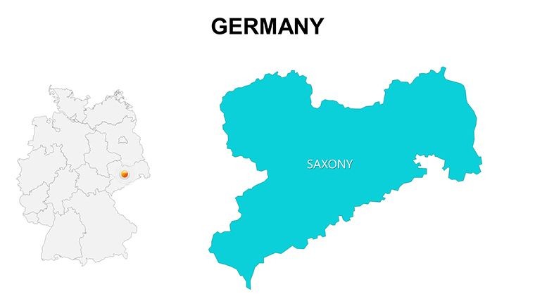
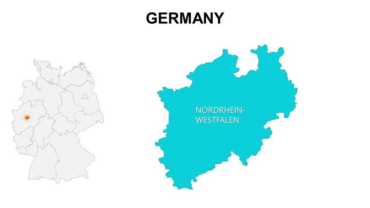
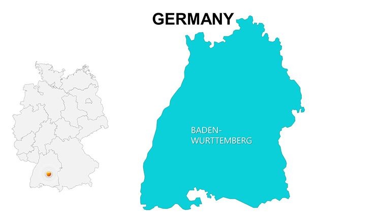
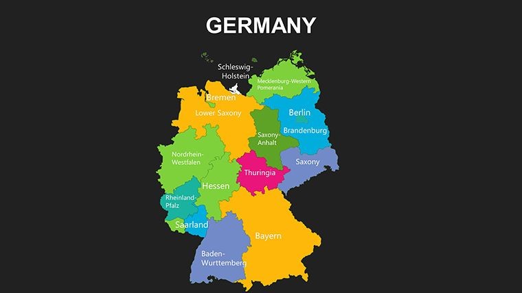
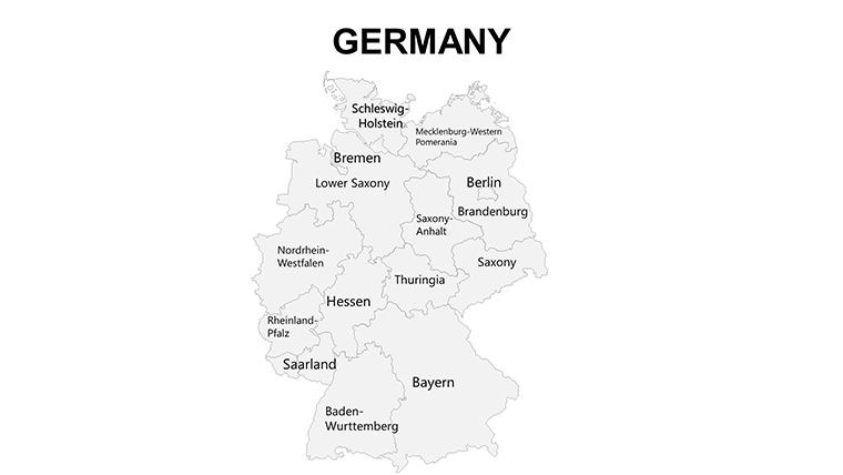
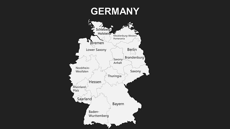
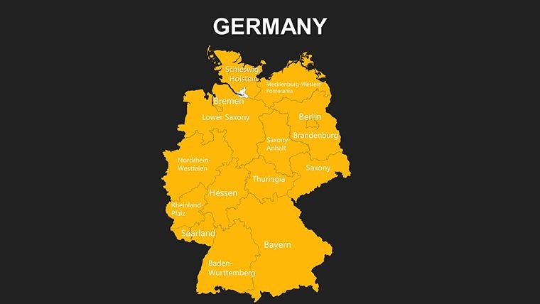
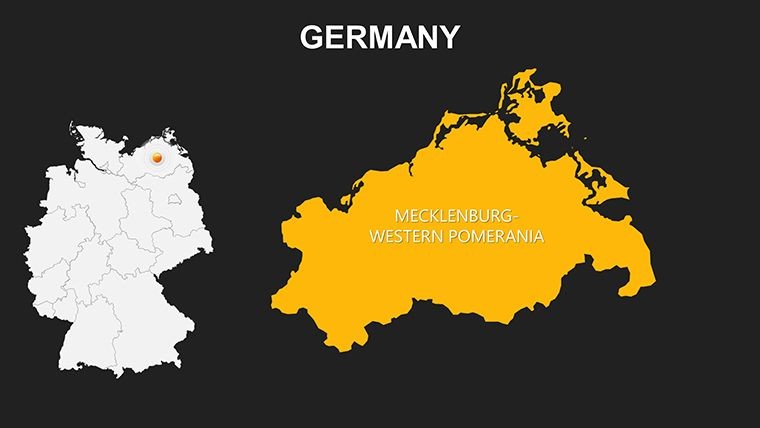
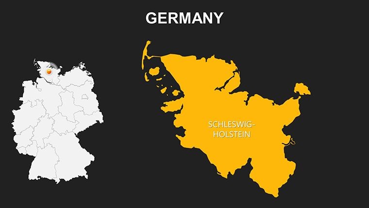
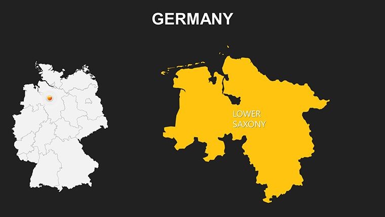
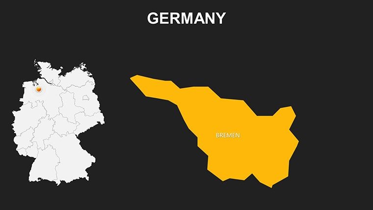
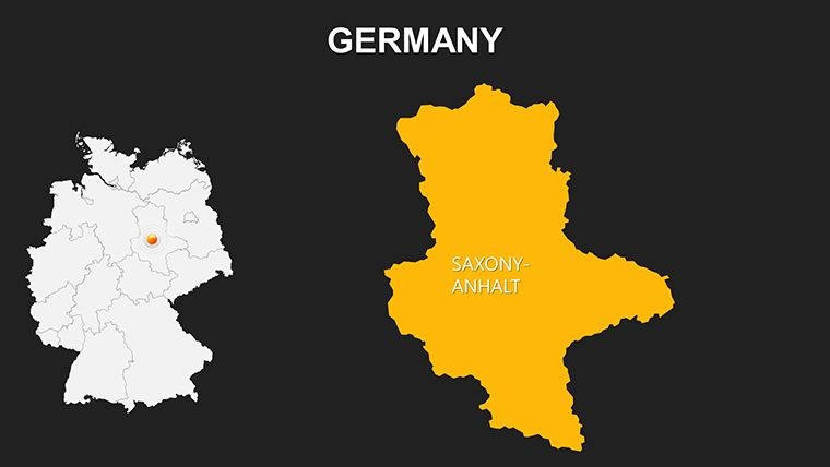
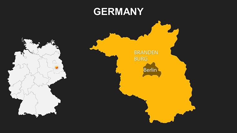
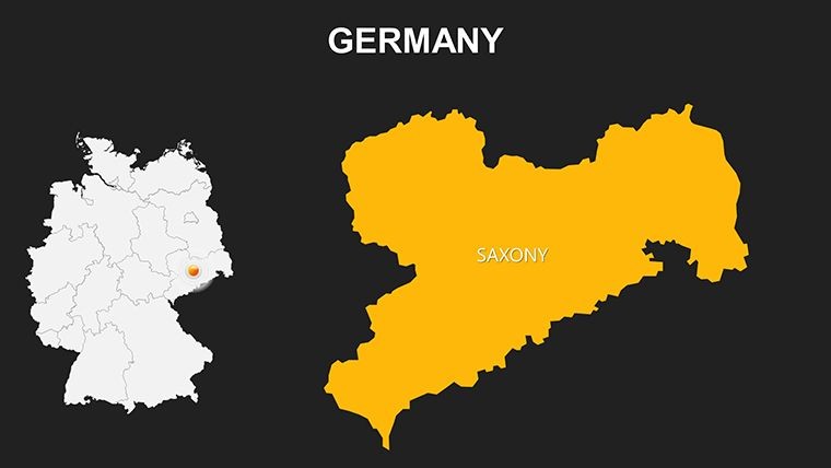
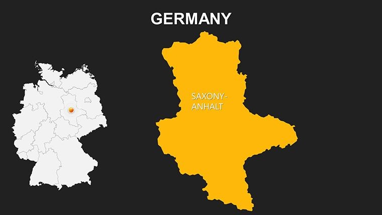
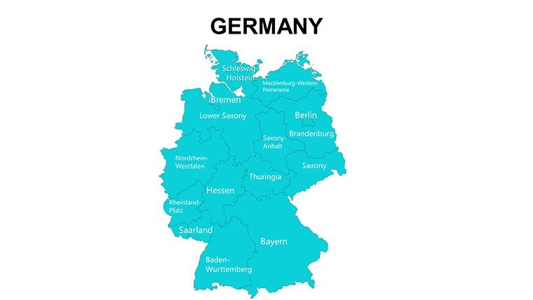
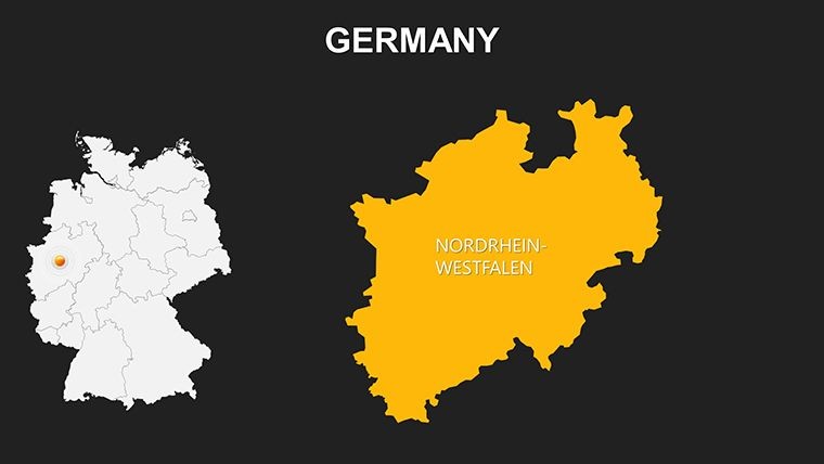
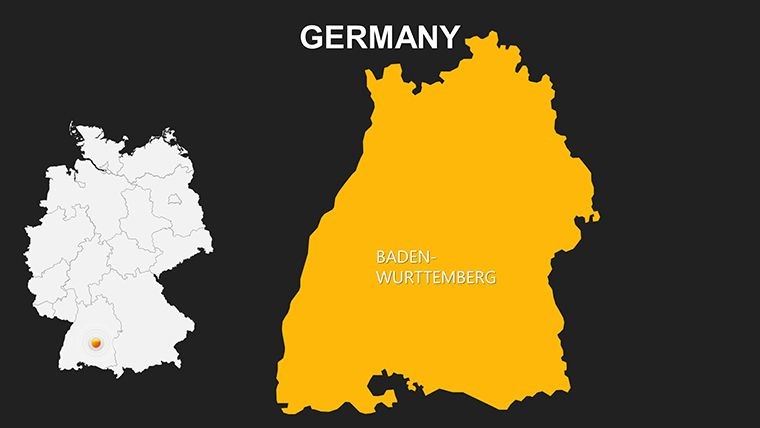
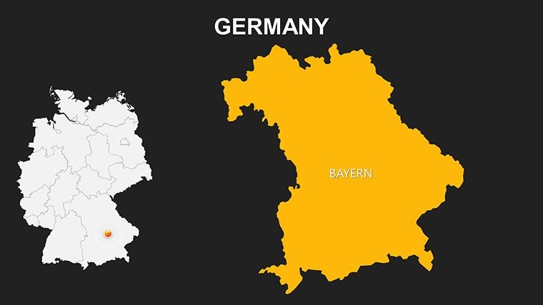
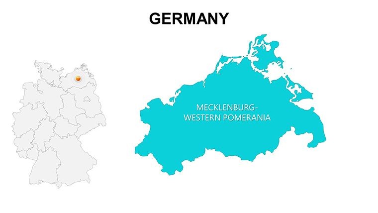
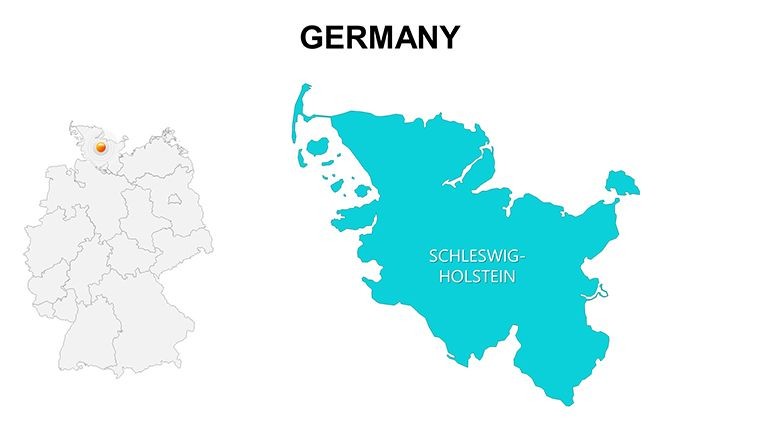
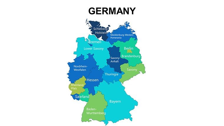
Imagine captivating your audience with a map that not only shows Germany's 16 federal states but brings them to life through interactive edits. Our Germany Regions Keynote Maps Template, boasting 36 editable slides, is crafted for precisely that - enabling seamless customization for Keynote enthusiasts. From business analysts charting market penetration in Bavaria to educators exploring Saxony's historical castles, this template fuses functionality with flair. Each region, like the industrious North Rhine-Westphalia or scenic Black Forest in Baden-Württemberg, is layered for easy manipulation, requiring no expert skills. Optimized for high-resolution outputs, it's ideal for digital or printed formats, drawing from Germany's federal structure for accurate representations. This resource transforms presentations into engaging experiences, highlighting cultural and economic diversities while streamlining your prep time.
Delve into Layered Customization for German Insights
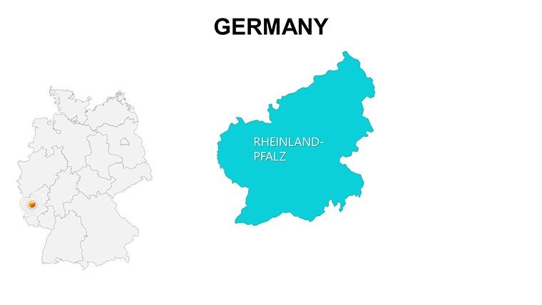
The template's layered design is a game-changer, organizing each state into separate cards for targeted edits. For a tourism pitch, enhance the Rhine Valley in Rhineland-Palatinate with river icons and color gradients. This approach aligns with European cartographic standards, ensuring precision in borders and labels. High-quality resolution supports detailed zooms, perfect for hybrid events where clarity matters.
Core Features Driving Presentation Success
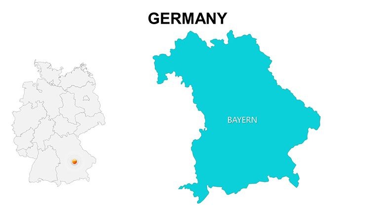
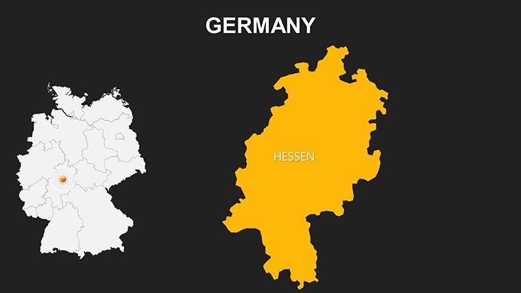
- Layered Regions: Edit states like Hesse individually, adding annotations for Frankfurt's financial hub.
- Customizable Elements: Alter colors, borders, and text to fit themes, such as Oktoberfest vibes for Munich.
- Keynote Optimization: No-fuss integration, with clean designs that focus on content.
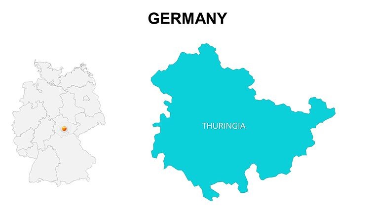
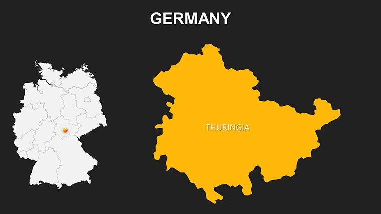
- Extensive Slides: 36 options, from full maps to state-specific cards like Thuringia's forests.
- Versatile Resolution: Suited for screens or handouts, maintaining sharpness.
These draw from best practices by the German Society for Cartography, emphasizing user-centric mapping.
Diverse Applications: Business to Cultural Exploration
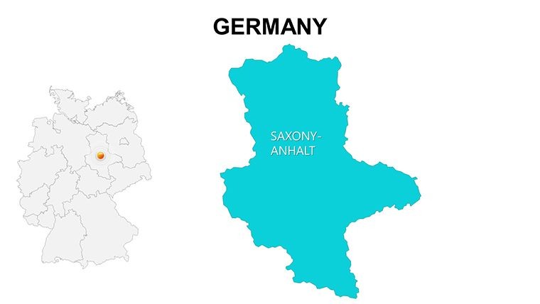
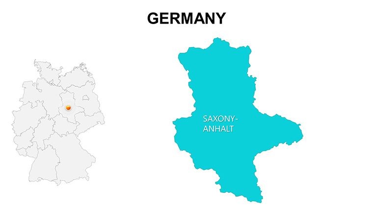
In corporate contexts, visualize demographic data for Schleswig-Holstein's coastal economies or Berlin's startup scene. Educators can dissect federalism, using editable cards to compare states' autonomies. Travel guides might highlight Saxony-Anhalt's UNESCO sites, integrating photos for immersive narratives. Real-world examples include economic summits where such maps illustrate GDP variances, fostering informed discussions.
Practical Workflow Enhancements
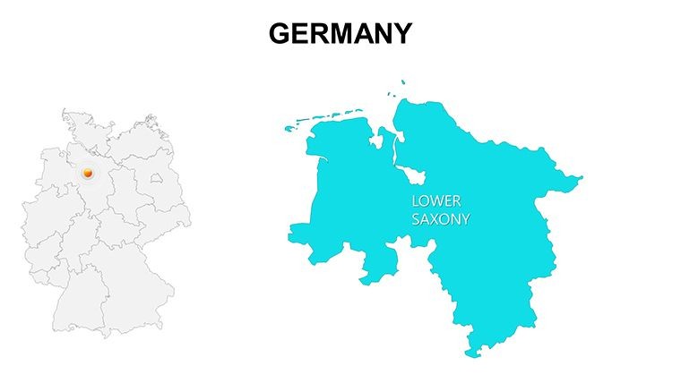
- Open and Select: Launch in Keynote and pick a region card, like Lower Saxony.
- Modify Details: Change colors for agricultural emphasis, adding crop icons.
- Add Layers: Overlay charts for population trends in urban vs. rural areas.
- Polish Layout: Adjust for balance, ensuring visual harmony.
- Present Confidently: Use transitions to unveil regions, building engagement.
This echoes techniques from design leaders like Don Norman, prioritizing intuitive interfaces.
Advantages Beyond Basic Maps
Outshining generic tools, its 36 slides offer unmatched variety, with editable precision that free alternatives lack. For commercial projects, the clean aesthetics ensure professionalism, as noted in industry reviews.
Inclusivity features, like customizable contrasts, align with EU accessibility directives.
Master German Regions with Ease
This template is your key to presentations that resonate, blending Germany's regional richness with modern tools. Whether for strategy or storytelling, it delivers. Get started and elevate your content today.
Frequently Asked Questions
How do I edit a specific region?Open in Keynote, select the card, and adjust colors, text, or layout effortlessly.Which states are included?All 16 federal states, fully labeled and editable, from Baden-Württemberg to Thuringia.Is it for commercial use?Yes, suitable for personal and professional projects alike.Can I add charts or icons?Absolutely - integrate seamlessly for enhanced data visualization.Compatible with latest Keynote?Yes, designed for current versions with smooth performance.What about printed outputs?High-res design ensures quality for handouts or posters.Good for
- Project roadmaps and sprint plans
- Product launch timelines
- Quarterly or annual review decks
- Company history and milestone summaries
Licence
reviews
Had to present travel statistics for class and the map slides fit well.
The icons were a little random on some pages but easy to delete.
Everything opened correctly in Keynote which surprised me honestly.
Simple template with maps and arrows, nothing complicated.
I liked that I could swap colors quickly without breaking the layout.
FAQ
Will it work in Google Slides?
Are fonts embedded?
Can I use this for client work?
What's the refund policy?
Do you update the template after purchase?
Similar templates
See all Keynote Maps →
All 36 slides