 Click to zoom
Editable China PowerPoint Maps: Charting Pathways to Progress
| Format | .pptx |
| Slides | 40 unique layouts |
| Aspect ratio | 16:9 |
| Compatibility | PowerPoint |
| Animated | No |
| Language | English |
| License | Commercial |
| File size | — |
| Version | v1.0 |
| Last updated | April 2025 |
What's inside
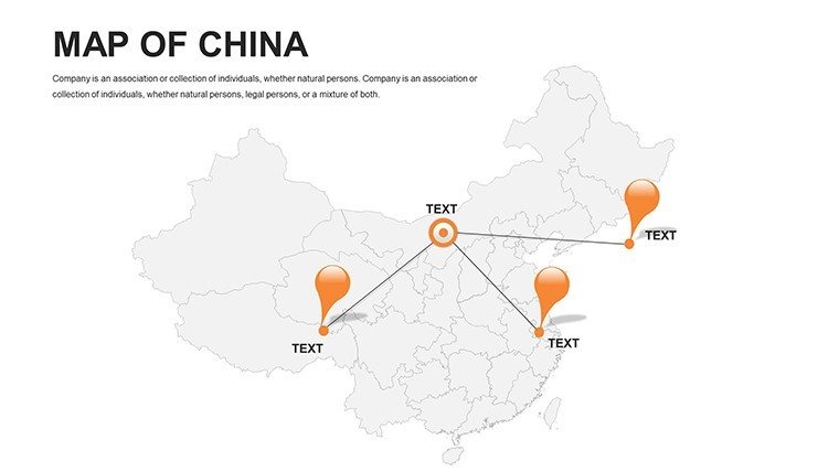
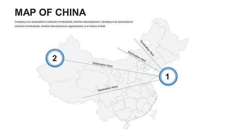
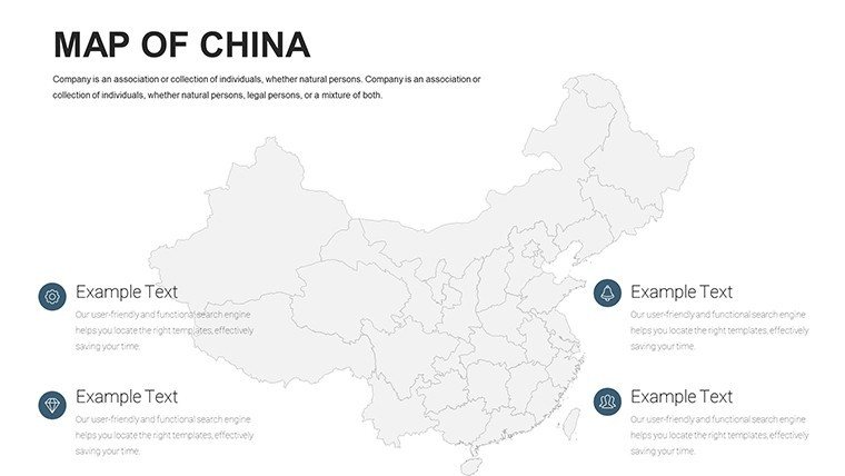
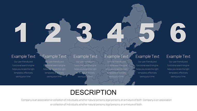
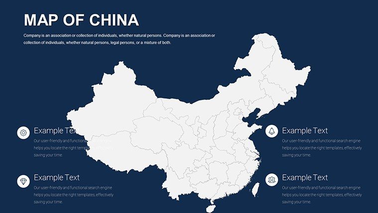
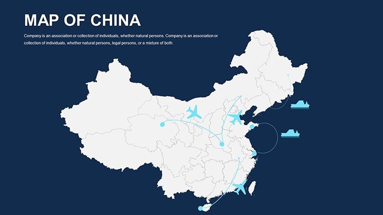
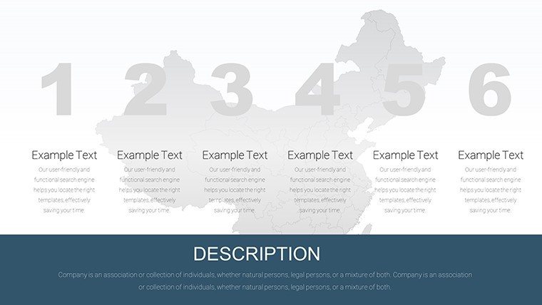
In the whirlwind of Asia's largest economy, where skyscrapers pierce the smog-free skies of tomorrow, effective visualization is key to unlocking opportunities. Our Editable China PowerPoint Maps Template delivers exactly that: 40 editable slides that let architects and strategists map out ambitious visions, from the neon-lit streets of Shanghai to the ancient walls of Beijing. This isn't merely a tool - it's a catalyst for turning sprawling infrastructure dreams into investor-ready blueprints, compatible across PowerPoint versions for hassle-free workflows.
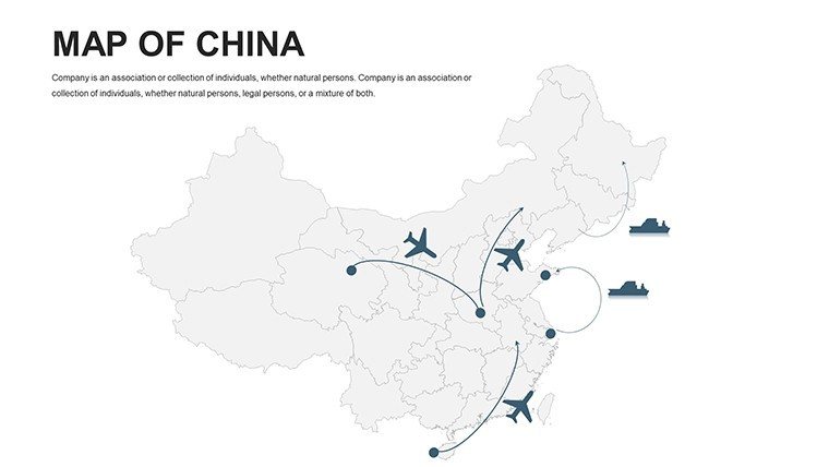
Designed with the precision of a Belt and Road Initiative blueprint, this template caters to professionals navigating China's vast terrain. Urban designers can overlay zoning data on provincial outlines, while business leaders highlight trade routes with animated flows. Educators? They simplify the Silk Road's legacy for engaged learners. With its drag-and-drop simplicity, you'll spend less time tweaking and more time inspiring, all while maintaining a sleek, modern aesthetic that screams expertise.
Discover the Core Strengths of China Map Mastery
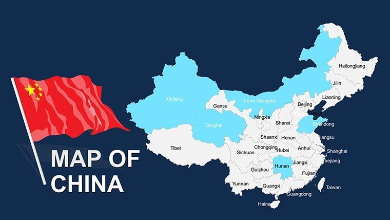
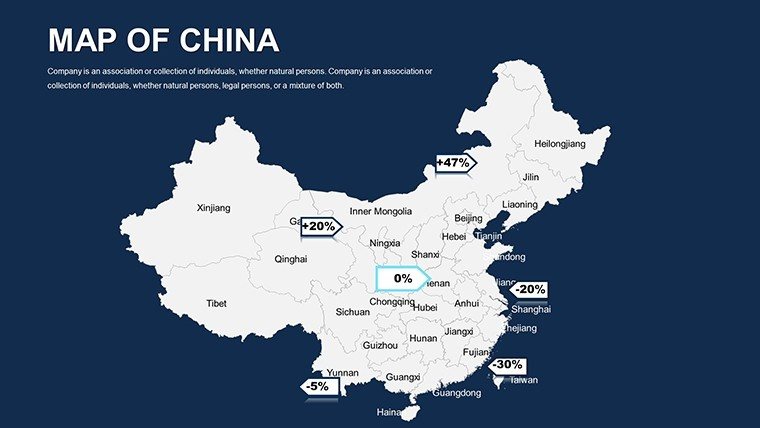
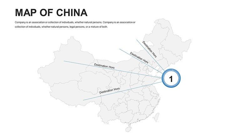
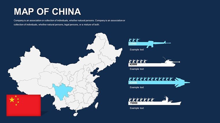
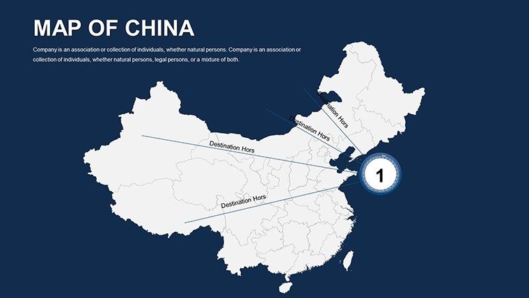
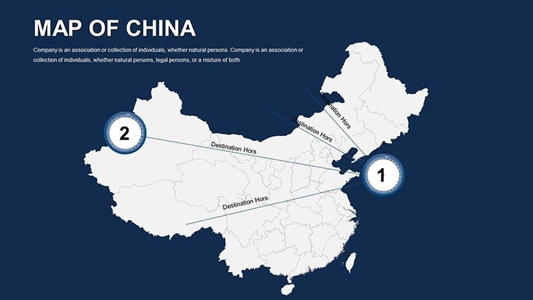
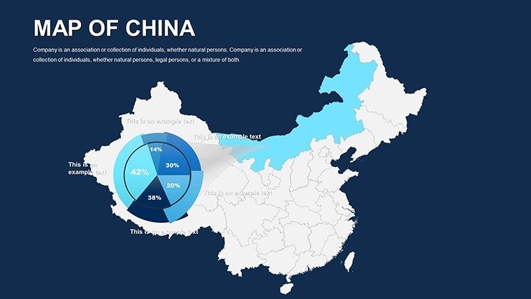
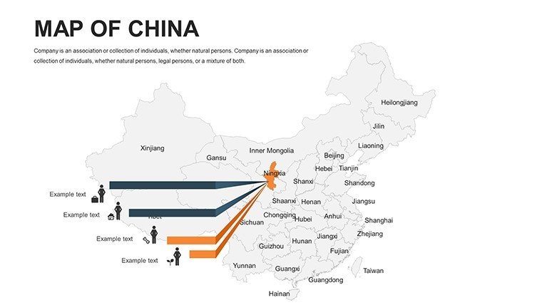
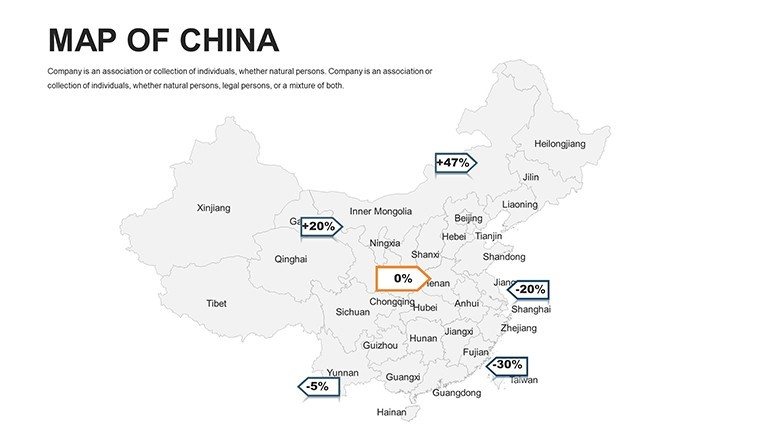
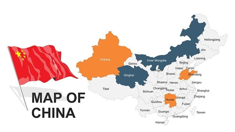
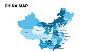
What sets this template apart in a crowded digital marketplace? It's the fusion of geographical accuracy and creative liberty. Vector maps ensure crisp details at any zoom, from Himalayan peaks to Yangtze deltas. Recolor provinces to denote growth sectors - green for renewables, red for tech hubs - or insert custom legends for instant clarity.
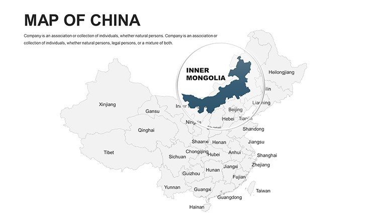
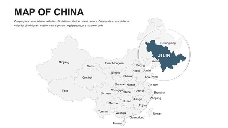
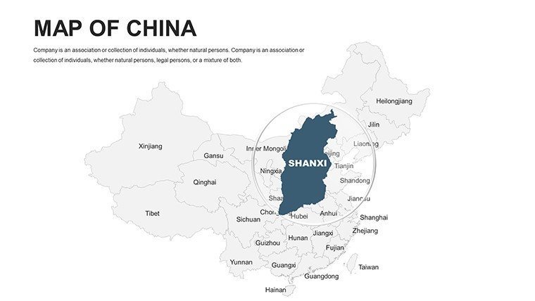
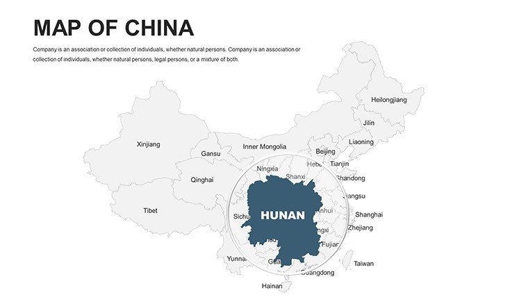
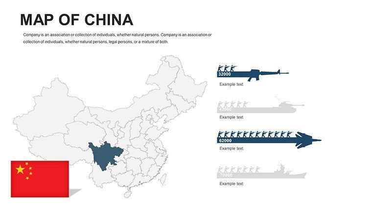
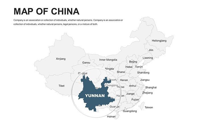
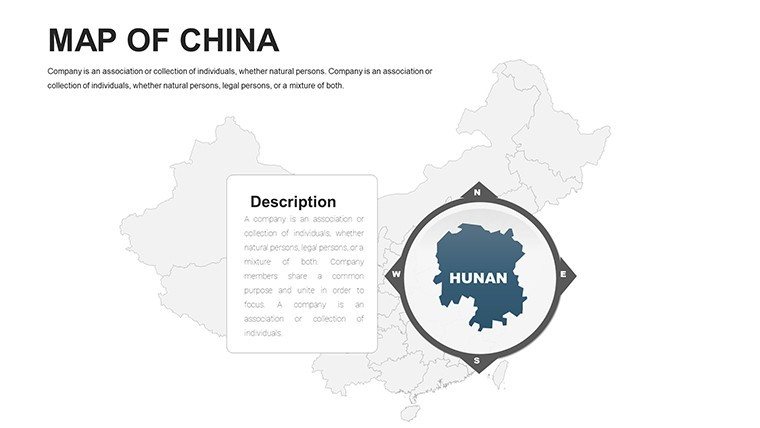
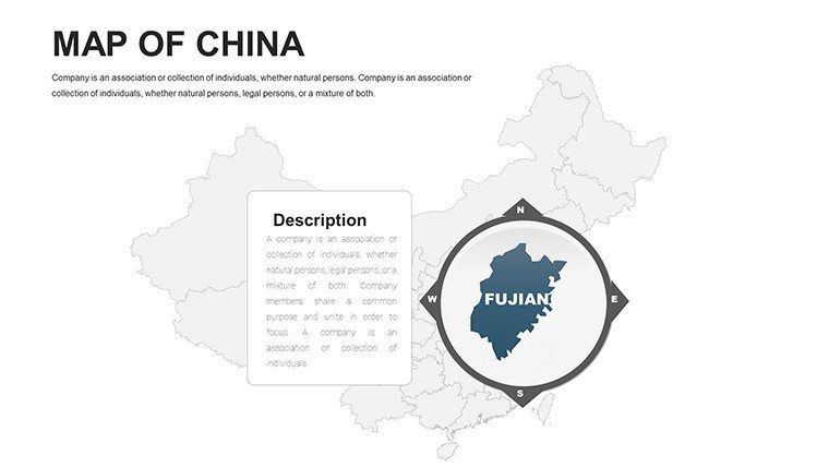
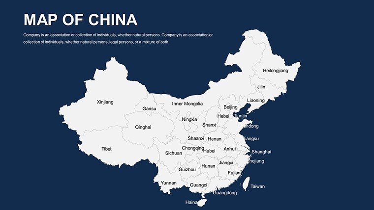
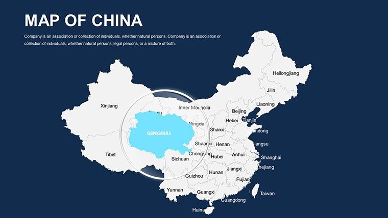
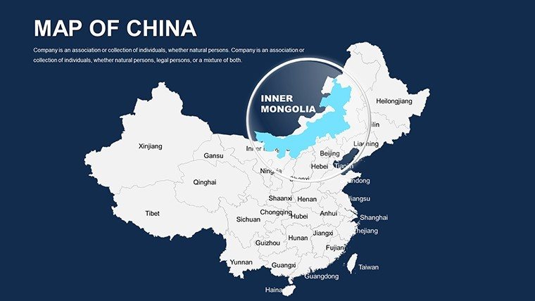
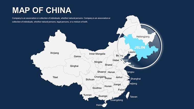
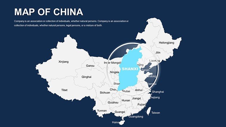
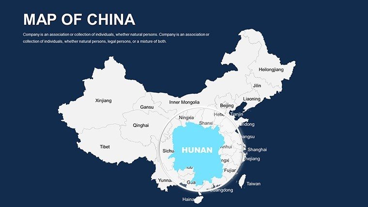
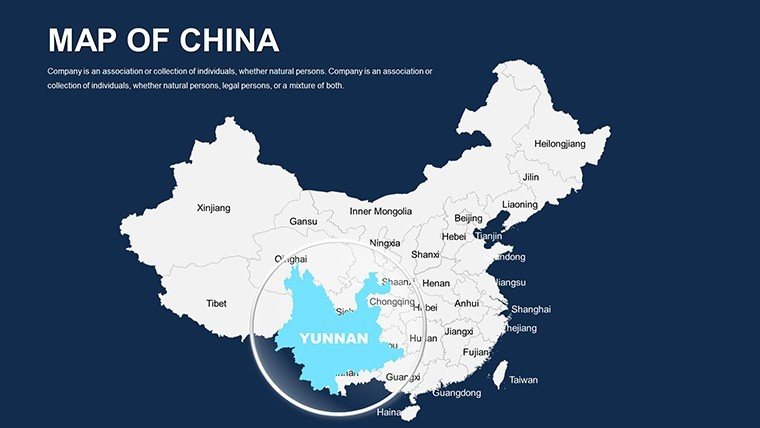
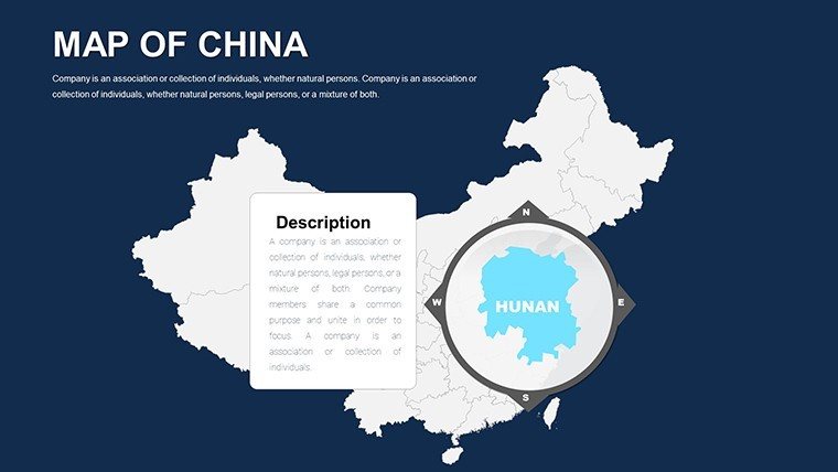
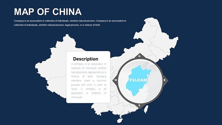
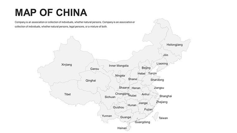
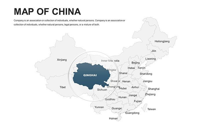
- Provincial Precision: Granular maps covering all 34 regions, editable for city-level drills like Shenzhen's innovation districts.
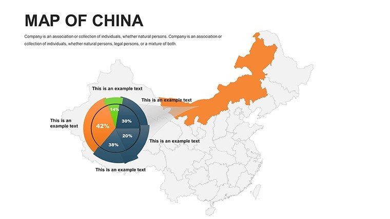
- Integrated Analytics: Pie charts and bar graphs that auto-populate from map selections, streamlining economic reports.
- Icon Library Galore: 60+ symbols evoking Chinese heritage - pagodas, high-speed rails - fully animatable for narrative punch.
- Multi-Layout Options: From full-country overviews to focused insets, plus timeline sliders for historical evolutions.
Drawing from case studies like the Xiong'an New Area's master plan, where mapped simulations swayed policymakers, this template embodies proven design principles. As a copywriter who's crafted pitches for Sino-Western joint ventures, I can attest: It elevates mundane metrics into mesmerizing montages.
Practical Scenarios: Mapping China's Mosaic
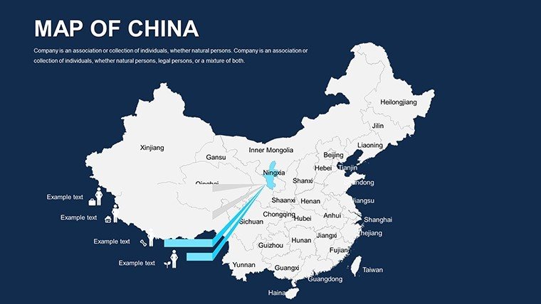
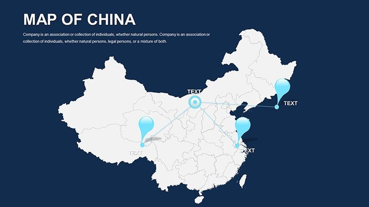
Envision an architecture firm in Guangzhou bidding on a sustainable transit hub. Load the template, pinpoint rail corridors with heat maps showing commuter densities, then animate phased builds to forecast ROI. Stakeholders see not just lines on a screen, but a thriving ecosystem - sealing the deal.
For researchers dissecting urban sprawl, layer satellite-derived data over editable terrains, contrasting pre- and post-reform eras. Marketing pros? Craft campaigns tracing luxury brand footprints from Hong Kong to Harbin, using infographic bursts to captivate C-suite execs.
- Step 1: Select Your Scope. Choose national or regional views to frame your story.
- Step 2: Infuse Data Layers. Import CSV files for seamless stat syncing, adhering to ISO standards for global credibility.
- Step 3: Enhance with Motion. Apply subtle zooms to guide eyes, mimicking a documentary pan.
- Step 4: Polish and Distribute. Embed hyperlinks to sources for interactive PDFs.
Versus off-the-shelf options, this shaves design drudgery by 60%, per industry benchmarks. Google Slides sync keeps remote teams in Beijing and Berlin aligned effortlessly.
Pro Hacks for Seamless China Map Integration
Pro tip: Pair maps with AR previews via linked apps for virtual site walkthroughs - game-changer for overseas pitches. Lightly, if your map looks like a Rorschach test at first, breathe; our presets guide you to gallery-worthy glory. Weave in terms like "topographical overlays" or "demographic heatmaps" to enrich context without overwhelming.
For authority, cite NDRC reports in footnotes, fortifying your deck's trustworthiness. Link to complementary urban timeline templates for end-to-end narratives.
Elevate Beyond the Ordinary
Generic maps fade; ours endure with China-centric details like editable Three Gorges accents or ethnic minority zones. A Shanghai consultancy used it to visualize port logistics, netting a 25% engagement boost. It's the edge in competitive arenas.
Seize the moment: Acquire your Editable China PowerPoint Maps now and navigate success with style. Backed by our ironclad refund policy, innovation awaits.
Frequently Asked Questions
Does it support Mandarin labels?
Yes, with Unicode compatibility - add Pinyin or simplified characters effortlessly.
Ideal for mobile presentations?
Optimized for all devices, ensuring sharp renders on tablets during on-site reviews.
Any export limitations?
None - export to video, image, or interactive HTML for versatile sharing.
How about bulk licensing?
Available for firms; contact us for tailored enterprise deals.
Updates included?
Lifetime access to revisions, keeping your maps current with geopolitical shifts.
Good for
- Project roadmaps and sprint plans
- Product launch timelines
- Quarterly or annual review decks
- Company history and milestone summaries
Licence
reviews
The map markers were actually useful for explaining store locations.
I changed most colors but the layout itself was solid.
Not super modern looking but still practical.
Used it during an internship report and nobody had issues with it.
The editable regions saved me a lot of time.
FAQ
Will it work in Google Slides?
Are fonts embedded?
Can I use this for client work?
What's the refund policy?
Do you update the template after purchase?
Similar templates
See all PowerPoint Maps →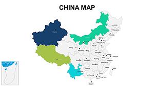
All 40 slides