 Click to zoom
China PowerPoint Maps Template: Customizable PPT
| Format | .pptx |
| Slides | 37 unique layouts |
| Aspect ratio | 16:9 |
| Compatibility | PowerPoint |
| Animated | No |
| Language | English |
| License | Commercial |
| File size | — |
| Version | v1.0 |
| Last updated | May 2024 |
What's inside
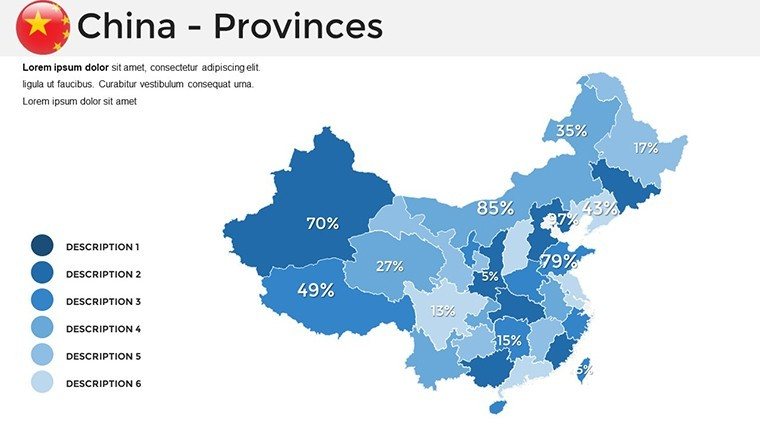
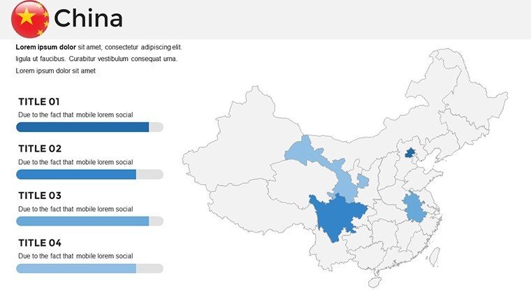
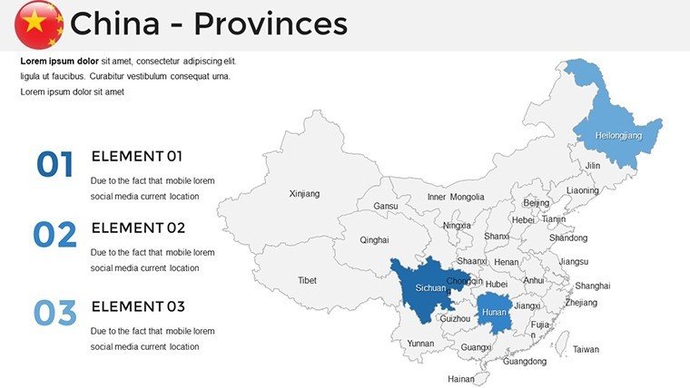
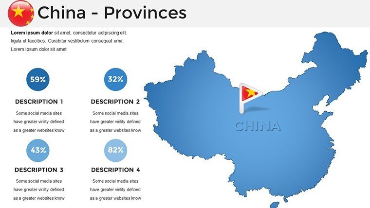
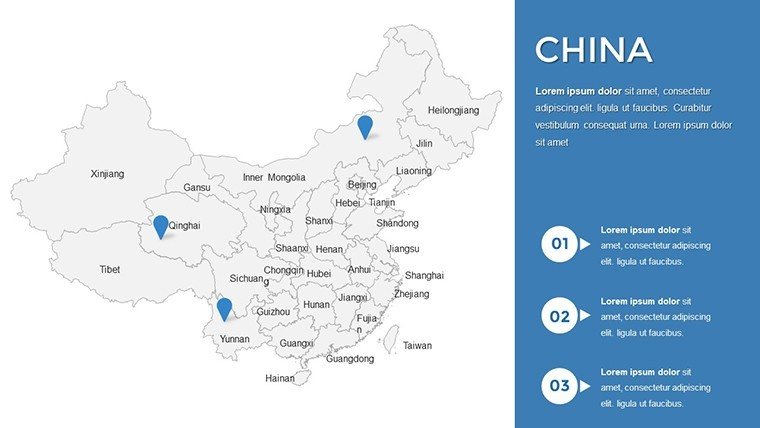
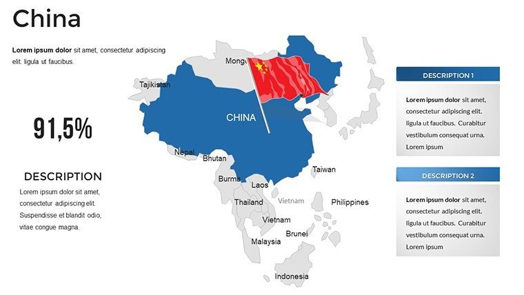
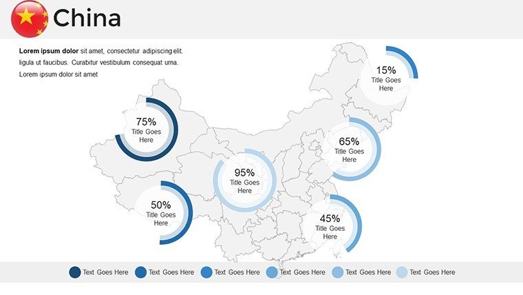
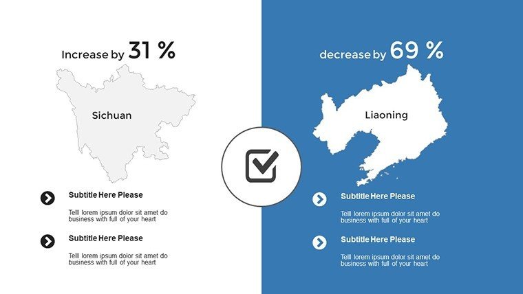
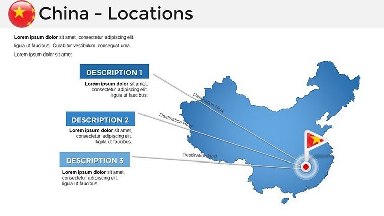
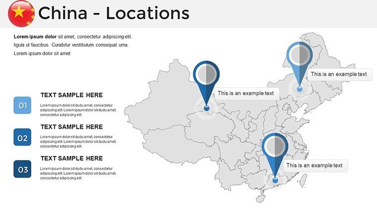
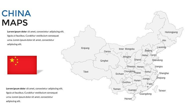
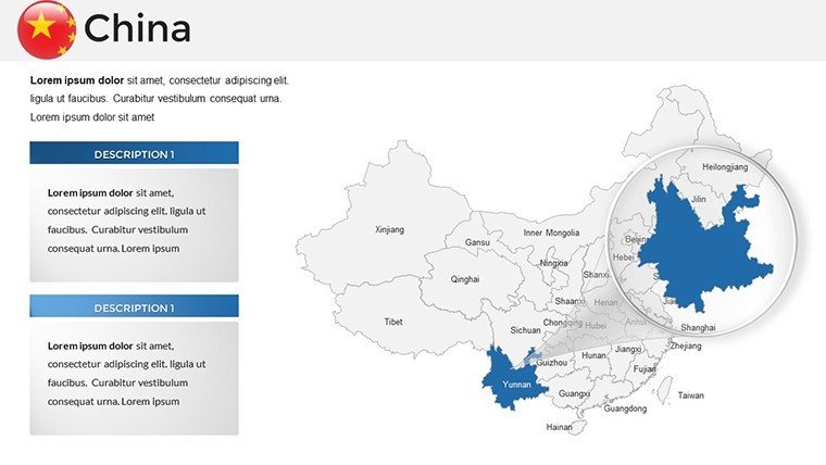
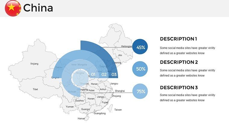
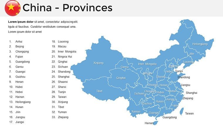
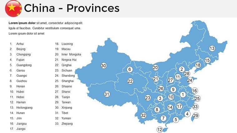
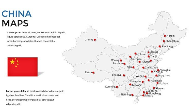
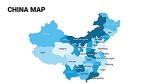
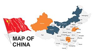
Envision captivating your audience with slides that vividly map China's vast provinces, economic zones, and cultural landmarks, turning dense data into dynamic discussions. Our China PowerPoint Maps Template delivers just that, with 37 editable slides optimized for professionals navigating Asia's powerhouse. Suited for corporate analysts tracking trade flows, academics exploring dynastic histories, or event planners organizing Belt and Road forums, this template merges precision with creativity. Backed by insights from sources like the China National Bureau of Statistics, it enables presentations that mirror real-world scenarios, such as visualizing urban growth in Shanghai versus rural developments in Sichuan. Compatible with Google Slides, it's your key to accessible, impactful storytelling in a global context.
Standout Features for China-Centric Visuals
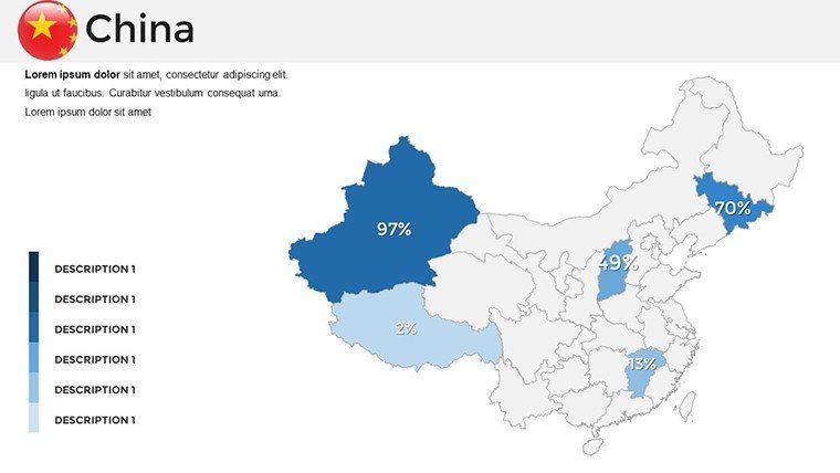
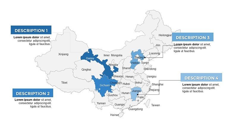
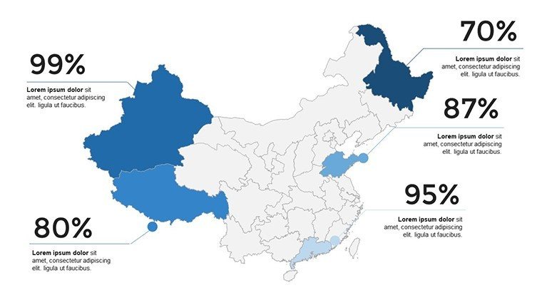
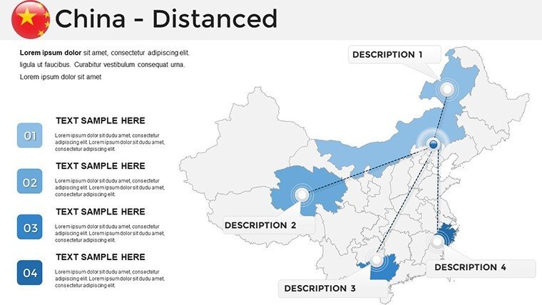
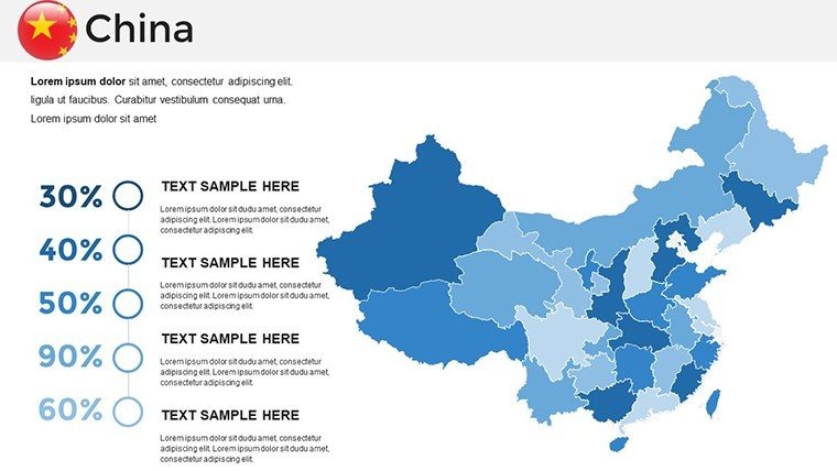
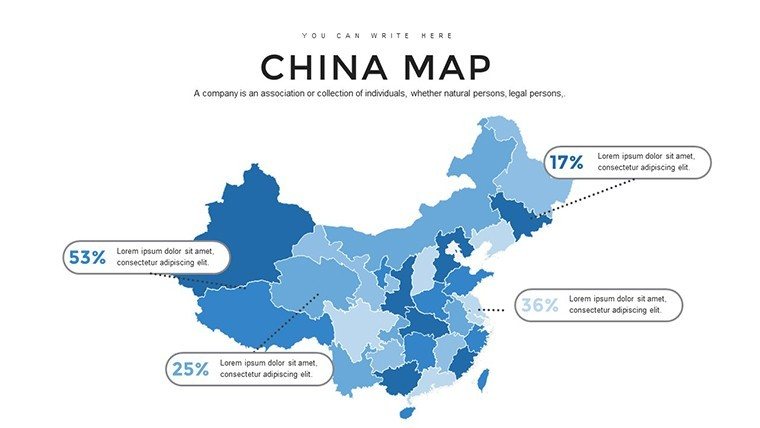
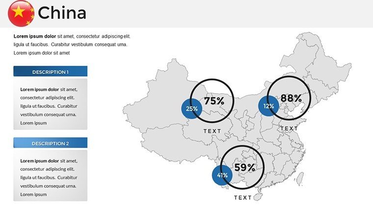
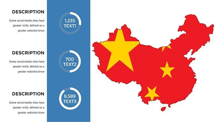
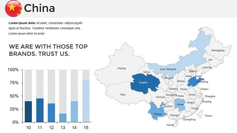
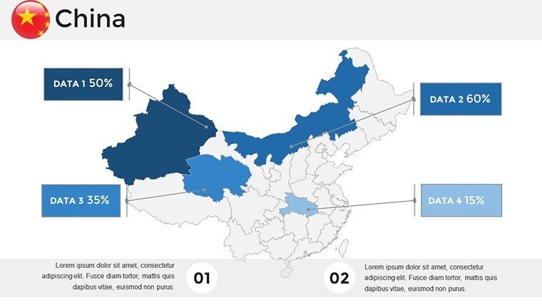
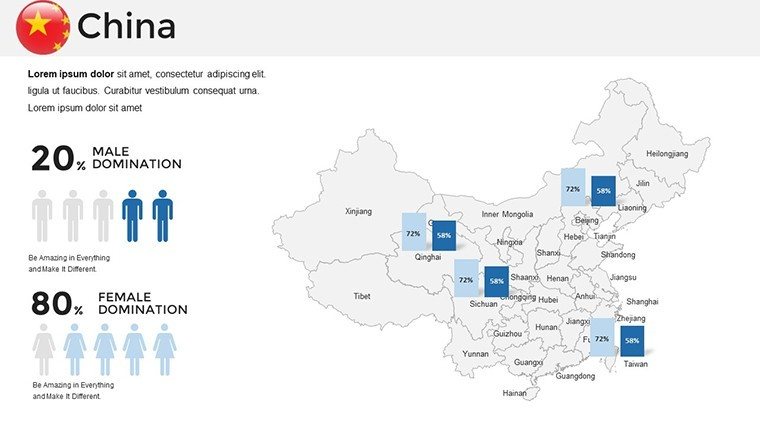
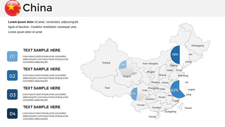
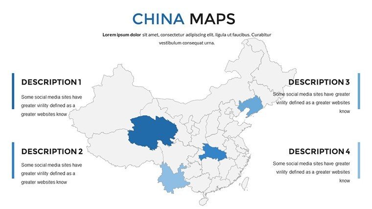
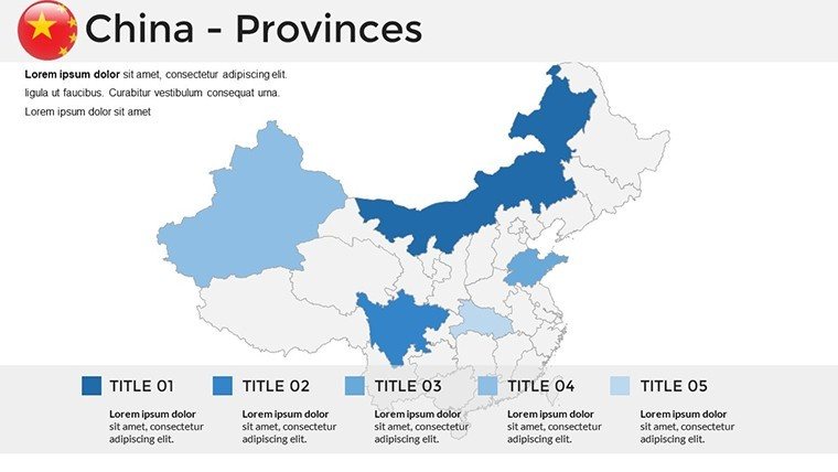
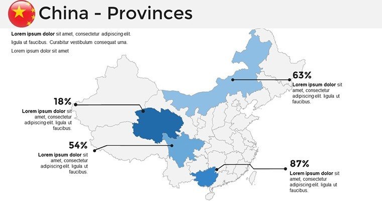
This template excels in diversity, offering political maps for administrative divisions, topographical for terrain variations like the Himalayas, and thematic for economic indicators. Customize with ease - alter boundaries, add population heatmaps, or embed graphs showing GDP trends. Infographics simplify complex topics, such as illustrating the Five-Year Plan's progress. The design draws from authoritative standards, ensuring visuals align with those used in reports by the Asian Development Bank, promoting trust and expertise.
Comprehensive Slide Details
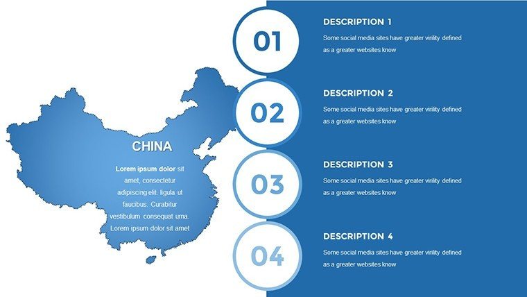
- Slide 1-10: Core Maps - National overviews with provincial highlights, editable for policy briefs.
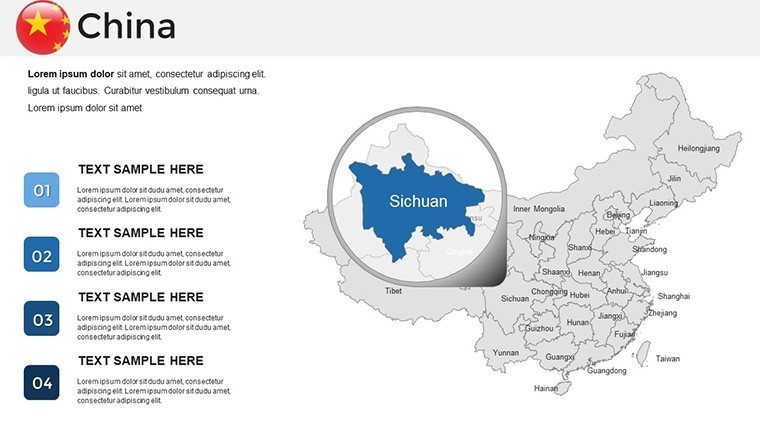
- Slide 11-20: Regional Focus - Zooms on areas like the Yangtze Delta, with bar charts for industry comparisons.
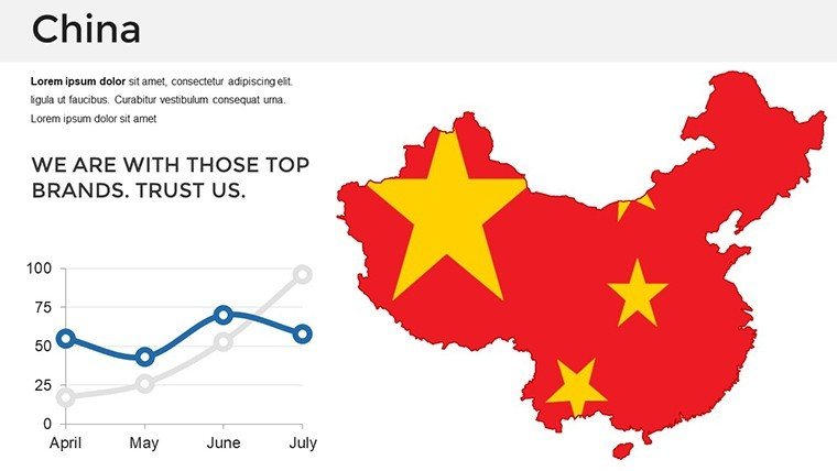
- Slide 21-27: Data Visuals - Line graphs for export growth, integrable with real-time data.
- Slide 28-33: Infographic Sets - Icons for cultural elements, timelines for historical events.
- Slide 34-37: Flexible Templates - Bases for custom additions, supporting unique narratives.
High-resolution ensures clarity in virtual or in-person settings.
Diverse Applications and Value Additions
China's multifaceted landscape demands versatile tools. In business, use it to pitch investments, like mapping tech corridors in Shenzhen, potentially mirroring successes seen in Alibaba's annual reports. Educators can enrich lessons on the Great Wall's history with interactive elements, aligning with interactive learning trends from Harvard's Asia Center. Researchers benefit from data overlays for studies on urbanization, contributing to peer-reviewed papers. The template's edge lies in its accessibility features and cross-device compatibility, reducing preparation time while enhancing professionalism. It fosters by incorporating updatable data fields, ensuring your content remains current and credible.
Insider Tips for Effective Use
- Align with objectives: Choose thematic maps for economic talks to emphasize key metrics.
- Enhance with context: Include annotations on cultural significance for deeper engagement.
- Optimize for flow: Use transitions to navigate from macro to micro views smoothly.
- Verify data: Cross-reference with official sources to maintain accuracy.
- Customize branding: Infuse company colors for a cohesive look.
These approaches elevate your presentations to expert status.
Advantages Over Generic Alternatives
Unlike built-in PowerPoint maps that generalize regions, this template provides China-specific depth, avoiding inaccuracies that plague free tools. It's comparable to premium software like Tableau but integrated seamlessly into PPT, offering cost-effective sophistication. With over 1000 ratings, it proves its worth in delivering polished results.
Seize the opportunity to master China-themed presentations - download this template and unlock new levels of visual persuasion.
Frequently Asked Questions
What styles of China maps are available?Political, topographical, and thematic, all fully customizable.Does it support Google Slides integration?Yes, for easy collaboration and access.How can it aid research presentations?With data overlays and graphs for analytical depth.Are updates for geographical changes included?Templates allow manual updates with current data.Is it suitable for event planning?Yes, for mapping venues and themes in China-related events.Can I embed external data?Absolutely, import from spreadsheets effortlessly.Good for
- Project roadmaps and sprint plans
- Product launch timelines
- Quarterly or annual review decks
- Company history and milestone summaries
Licence
reviews
Had to show population centers in the US and the map had each state as a separate shape.
The color scheme is a bit basic but I added a heatmap effect using gradients.
Used the star markers for major cities and they were easy to copy and paste.
Honestly this was the first map I found and it did the job.
The file opened without issues and I could edit it on my Mac.
FAQ
Will it work in Google Slides?
Are fonts embedded?
Can I use this for client work?
What's the refund policy?
Do you update the template after purchase?
Similar templates
See all PowerPoint Maps →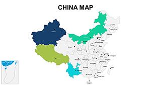
All 37 slides