 Click to zoom
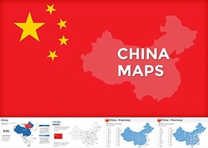
China Keynote Maps: Charting Asia's Giant with Architectural Insight
| Format | .pptx |
| Slides | 40 unique layouts |
| Aspect ratio | 16:9 |
| Compatibility | PowerPoint |
| Animated | No |
| Language | English |
| License | Commercial |
| File size | — |
| Version | v1.0 |
| Last updated | May 2022 |
What's inside
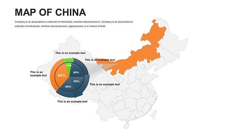
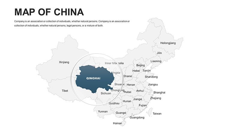
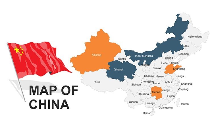
Picture unveiling a grand vision for a high-speed rail linking Beijing to Shanghai, where every curve of the terrain tells a story of innovation and connectivity. For architects and infrastructure specialists, the China Keynote Maps template is your gateway to such impactful storytelling, featuring 40 meticulously editable slides optimized for Keynote. This template transcends basic cartography, serving as a canvas for overlaying urban masterplans, environmental assessments, and economic corridors across China's vast expanse - from the Himalayan frontiers to the Pearl River Delta.
Inspired by landmark projects like the Belt and Road Initiative, which have reshaped global design dialogues, this tool equips you to meet rigorous standards from bodies like the China Architecture Society. Fully compatible with Keynote's ecosystem, it allows effortless modifications: Reshape provinces for zoning emphasis, infuse data layers for population dynamics, or embed renders of futuristic skylines. Ditch time-consuming custom builds; this template accelerates your creative process, delivering polished visuals that persuade investors and regulators alike in the competitive Asian market.
Precision Mapping for China's Architectural Frontiers
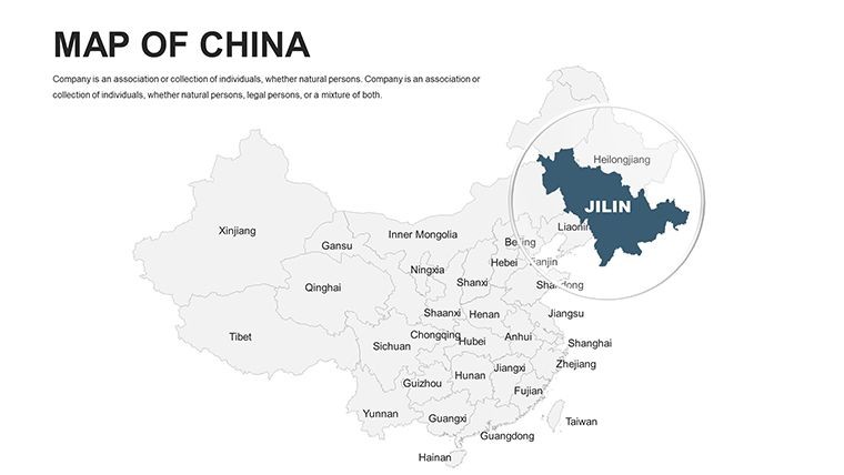
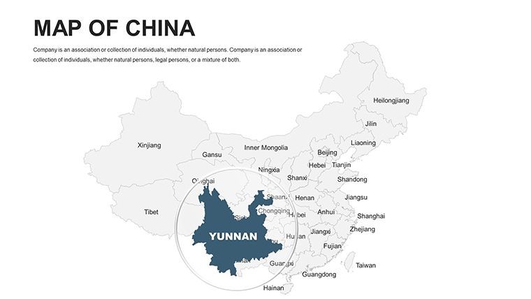
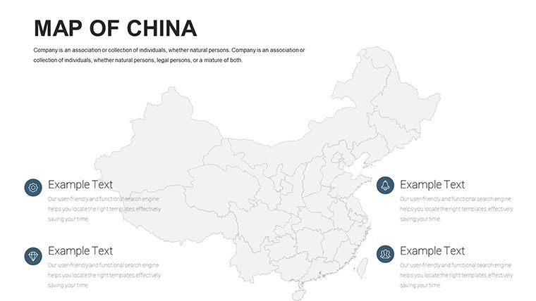
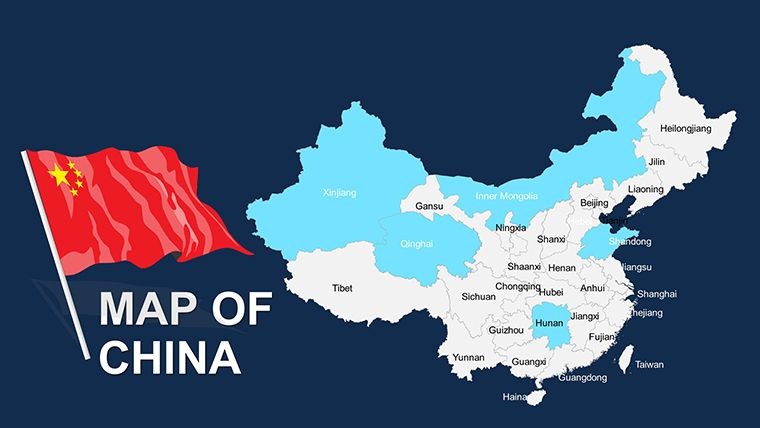
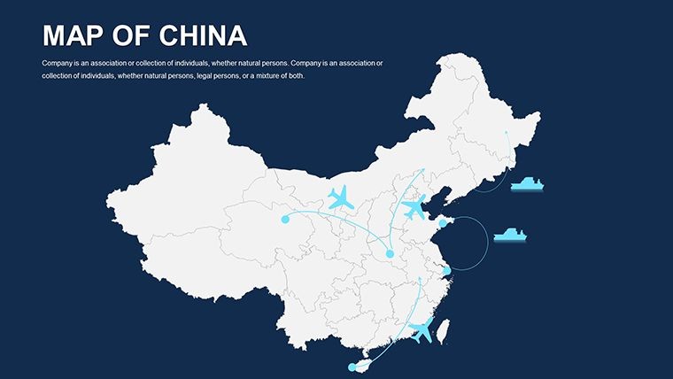
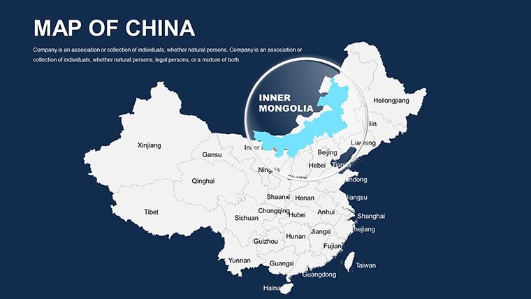
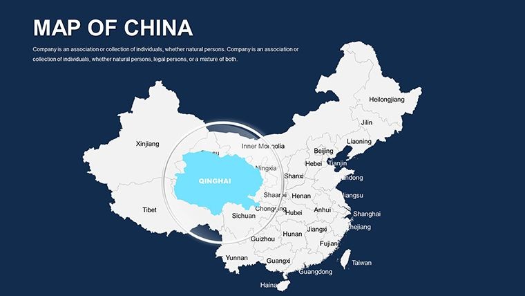
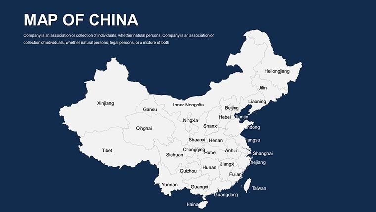
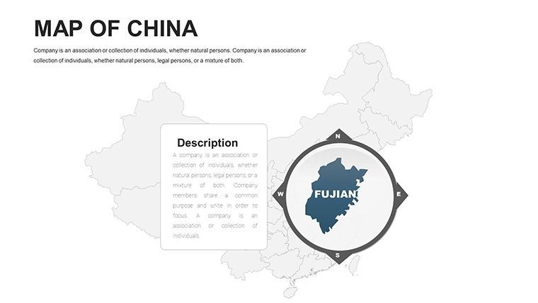
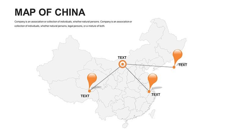
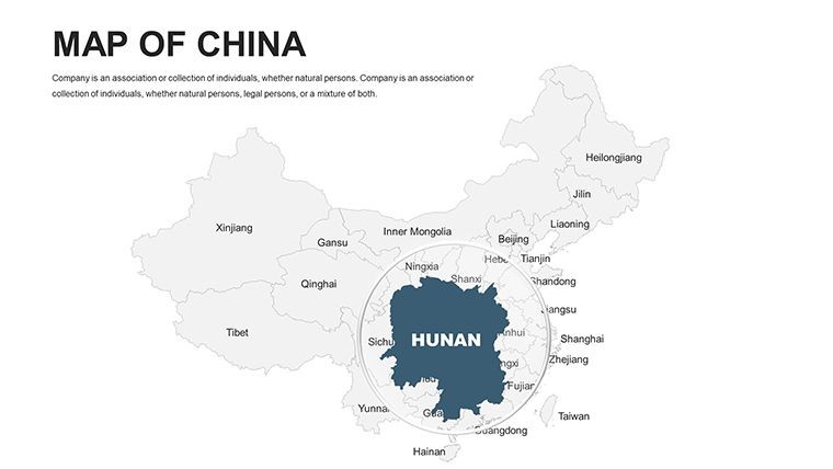
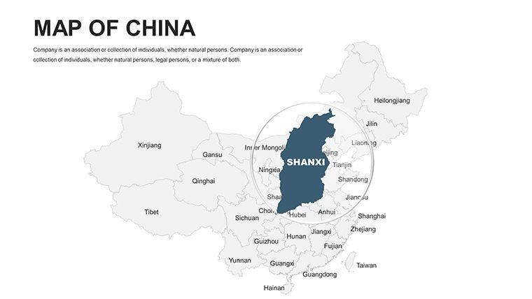
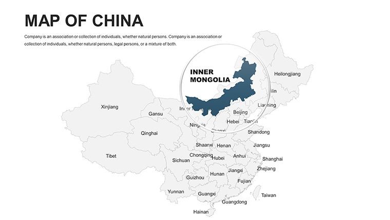
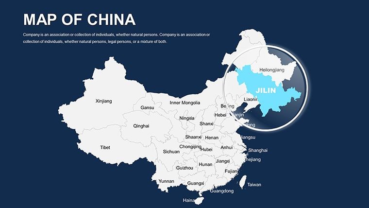
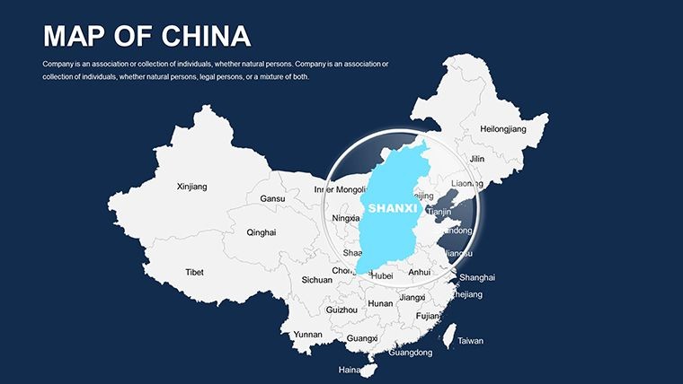
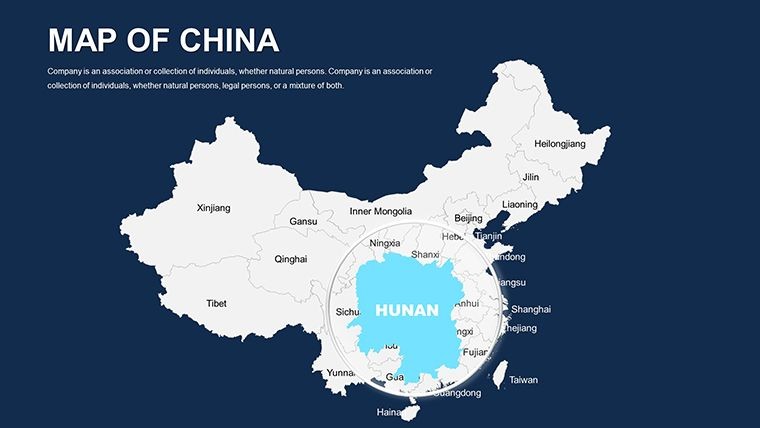
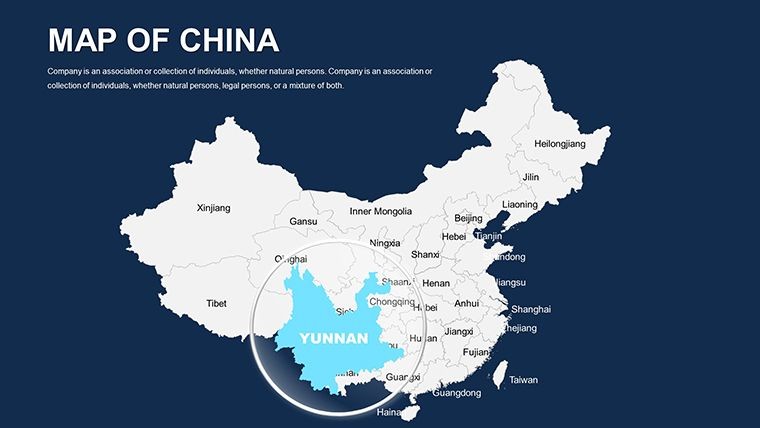
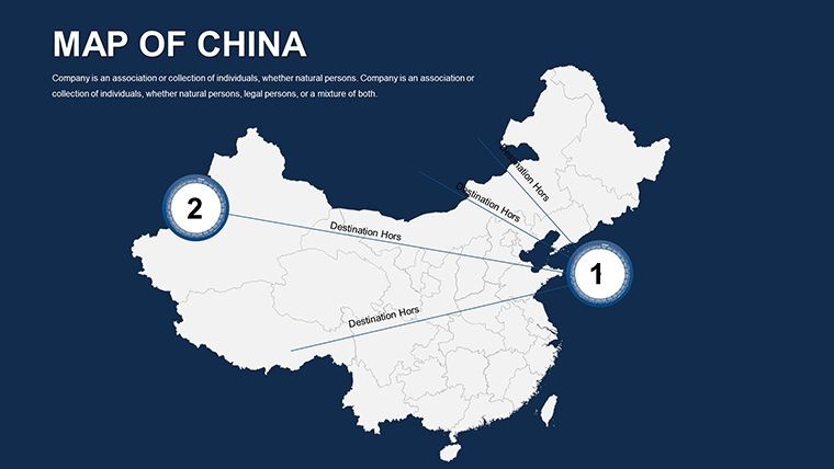
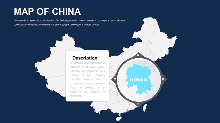
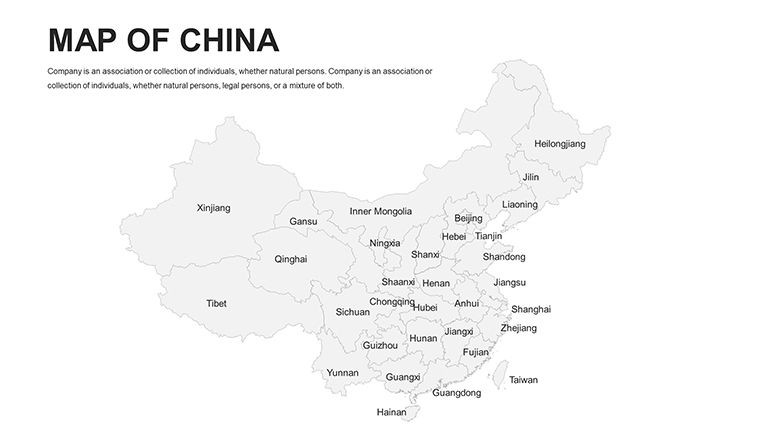
China's scale demands visuals that match its ambition, and this template delivers with politically precise, vector-driven maps spanning 34 provinces and autonomous regions. Slide 22, a full-country overview, lets you spotlight economic hubs like Guangdong for port expansion pitches. Outshining rudimentary tools, its Keynote-native animations unfold details - like river systems influencing flood-resistant designs - keeping viewers hooked.
Reflect on a Shenzhen firm's triumph in a Yangtze River revitalization bid, where mapped hydrology visuals clinched partnerships. The template's modern, clean style - evoking minimalist Chinese ink wash - conveys authority, with palettes adjustable to symbolize growth or heritage.
- 40 Comprehensive Slides: Detailed views of regions, cities, and thematic elements across China.
- Seamless Editability: Modify borders, add annotations for seismic zones, or scale for macro views.
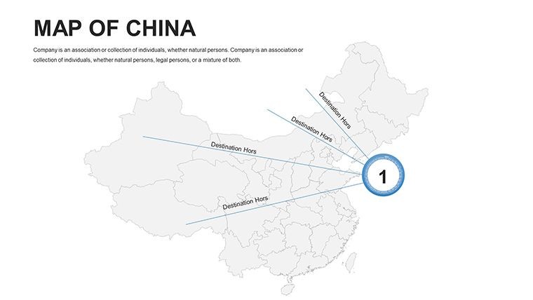
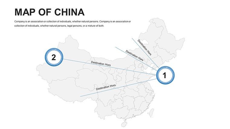
- Rich Infographics: Pre-built for trade routes or urbanization trends, vital for infrastructure narratives.
Incorporate it by aligning with your pipeline: Use section slides to segment decks for northern vs. southern developments. Insider tip: Leverage Keynote's masking to blend satellite data with conceptual overlays for photorealistic site evals.
Targeted Scenarios: Urbanization to Heritage Preservation
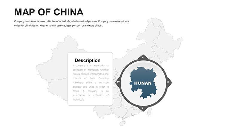
Envision proposing a smart city in Chengdu. On slide 10's provincial map, layer AI-driven traffic models with green belt proposals, using hues to indicate density shifts. This not only adheres to national eco-standards but also engages audiences through spatial drama.
For heritage contexts, slide 38 maps ancient Silk Road paths, aiding pitches for restoration projects in Xi'an. Planners benefit from editable axes for quantifying land use, surpassing static alternatives in analytical depth.
- Foundation Building: Load national datasets into base slides for grounded projections.
- Personalization: Sync with firm aesthetics, inserting logos over key locales.
- Dynamic Delivery: Animate expansions to mirror project phasing, from blueprint to build.
- Optimization: Validate across platforms for flawless global shares.
Such steps forge decks that drive decisions, often accelerating timelines in China's booming sector.
Standout Features Fueling Professional Success
The 40 slides brim with utility: Opener slide paints China's silhouette with subtle gradients, priming for depth. Explore slides 12-25 for granular provinces - amplify Tibet's plateaus for altitude-sensitive builds or detail Hainan's islands for resort visions.
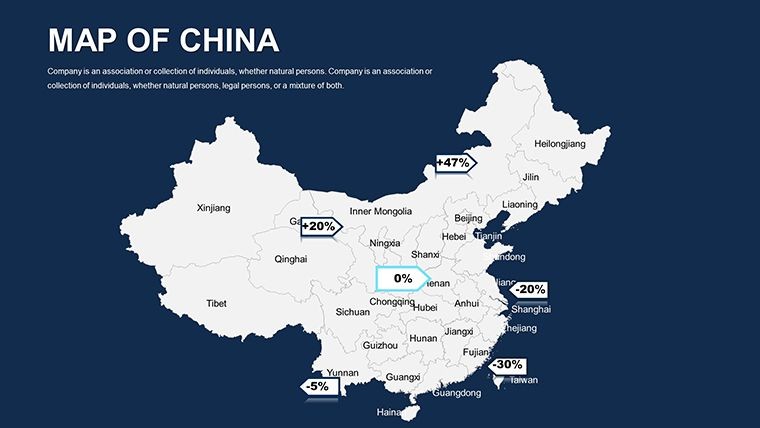
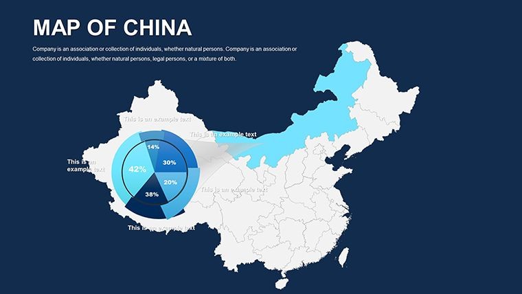
Handmade infographics track metrics like GDP per region, and quick guides demystify tweaks, from font swaps to grid additions for measured accuracy.
Its full-HD readiness shines in boardrooms; a Hong Kong team recently used it for a cross-strait collaboration, praising the maps' role in bridging perspectives.
Strategic Advice for Peak Performance
Prioritize narrative flow: Start continental, narrow to locales, using transitions for immersion. Boost accessibility with descriptive notes. Add cultural nods, like red accents for prosperity.
Seize the moment - acquire the China Keynote Maps template and architect your triumphs.
Frequently Asked Questions
What regions of China are covered in detail?All 34 provincial-level divisions, including special administrative regions like Hong Kong and Macau.
How can architects use these maps for project pitches?Overlay designs on maps to demonstrate site integration, compliance, and impact assessments visually.
Are animations included for map elements?Yes, custom animations allow sequential reveals of data layers for engaging flows.
Does it support data import from external sources?Keynote's features enable easy import of CSV or images for dynamic updates.
Is the template retina-ready for high-res displays?Fully, ensuring sharp visuals on Retina screens and large projections.
Can I customize for international collaborations?Definitely, with multilingual label options and export formats for global teams.
Good for
- Project roadmaps and sprint plans
- Product launch timelines
- Quarterly or annual review decks
- Company history and milestone summaries
Licence
reviews
I used the location slides for a logistics update at work.
The map graphics were clean enough to read during the meeting.
Some layouts had too many small icons for me.
Worked well for my class presentation about tourism data.
Pretty easy to customize overall.
FAQ
Will it work in Google Slides?
Are fonts embedded?
Can I use this for client work?
What's the refund policy?
Do you update the template after purchase?
Similar templates
See all Keynote Maps →
All 40 slides