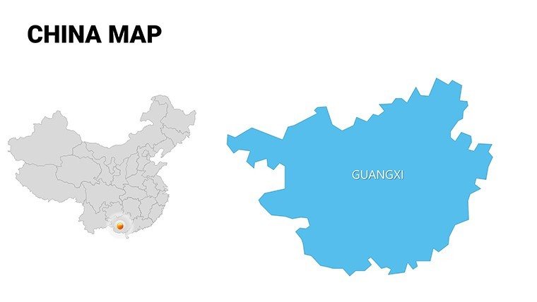
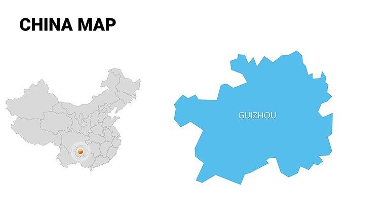
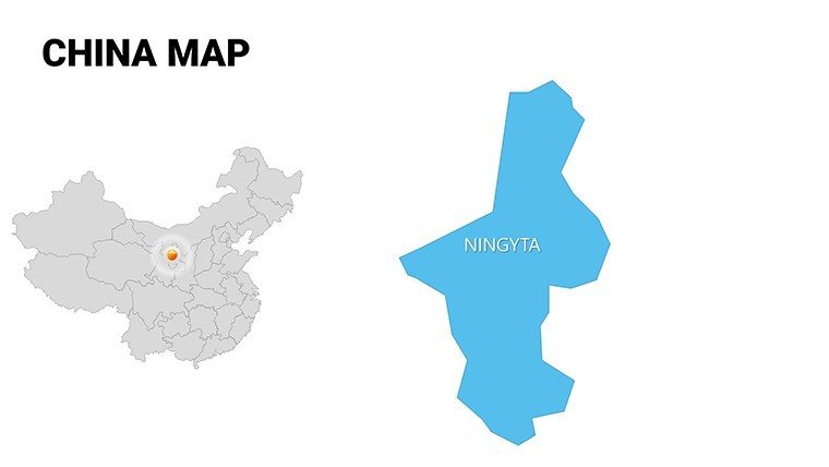
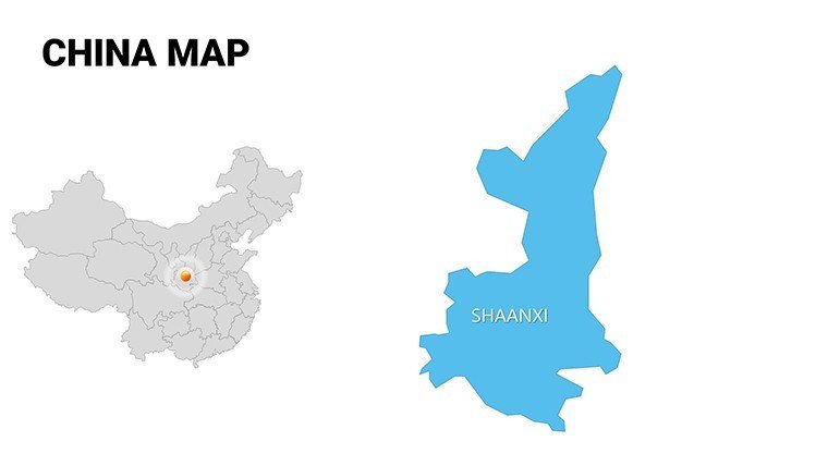
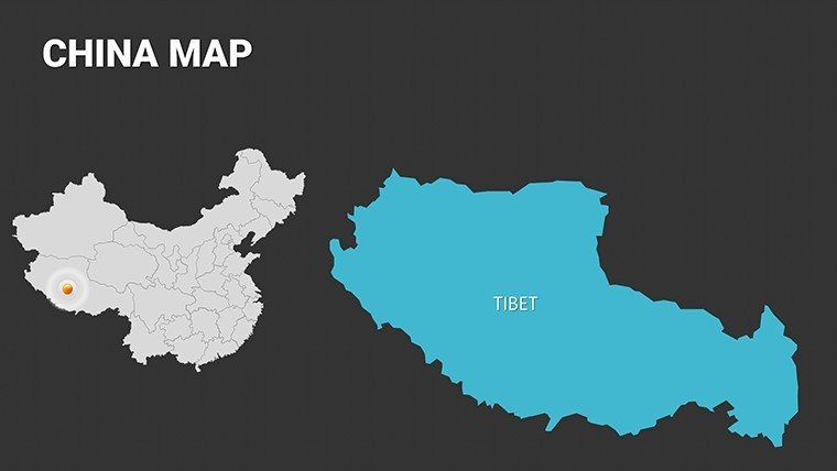
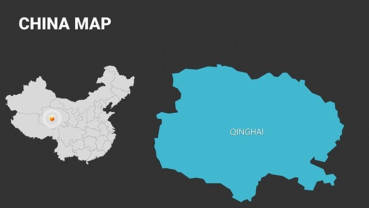
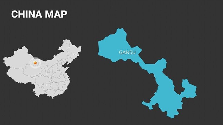
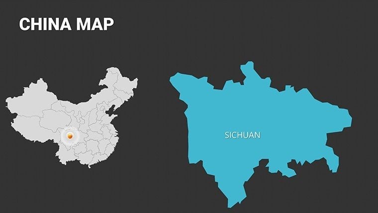
 Click to zoom
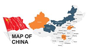
Complete China Editable PowerPoint Maps Template
| Format | .pptx |
| Slides | 54 unique layouts |
| Aspect ratio | 16:9 |
| Compatibility | PowerPoint |
| Animated | No |
| Language | English |
| License | Commercial |
| File size | — |
| Version | v1.0 |
| Last updated | May 2024 |
What's inside
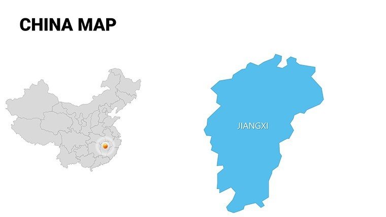
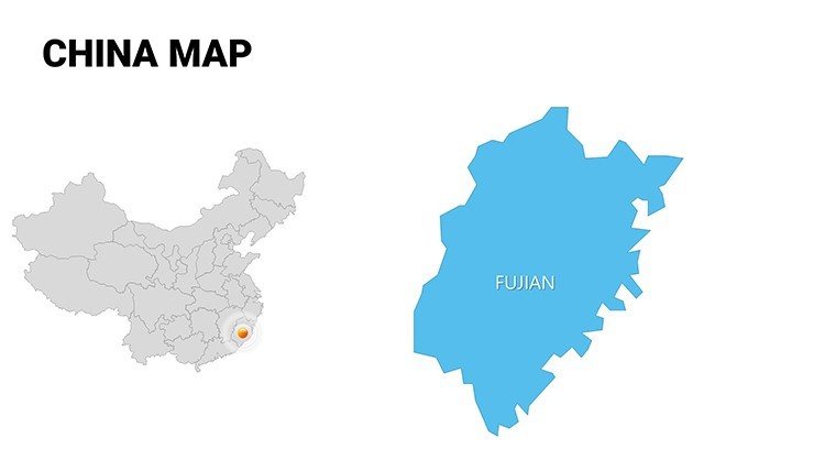
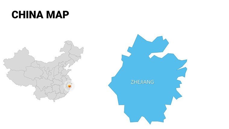
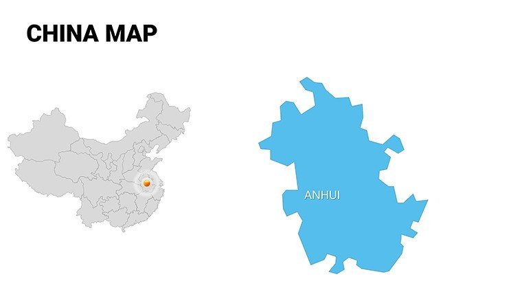
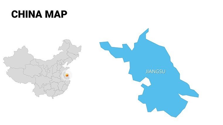
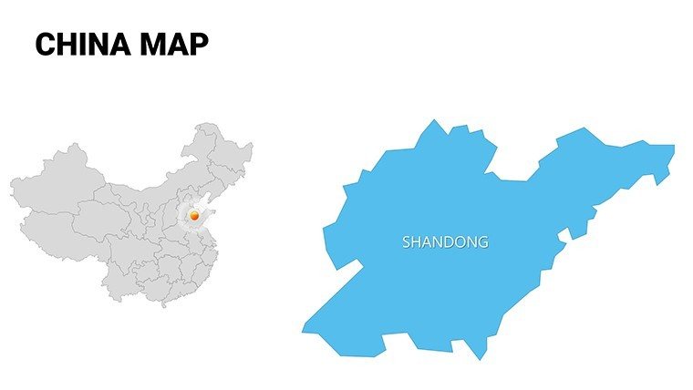
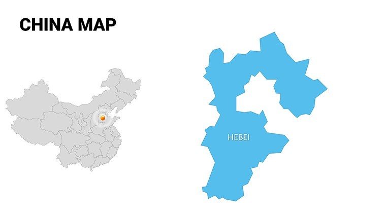
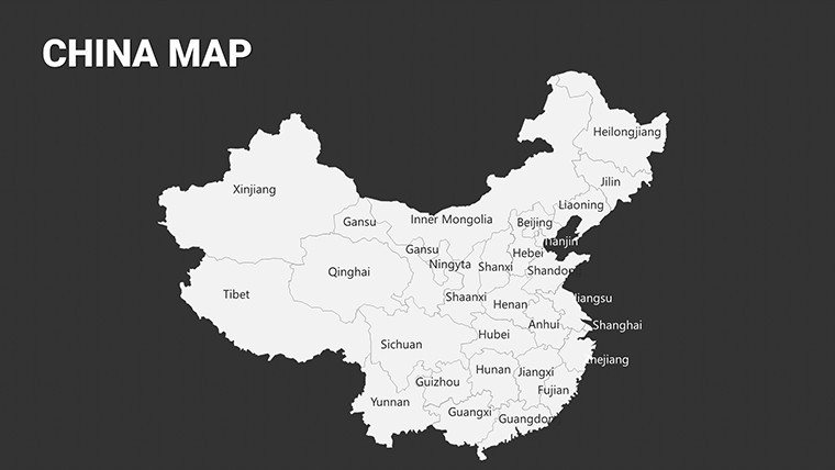
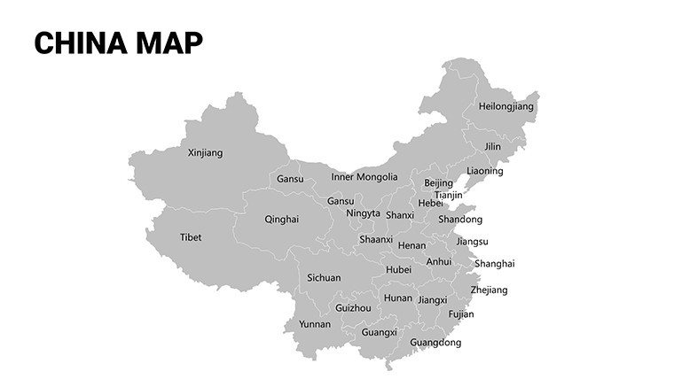
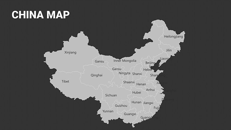
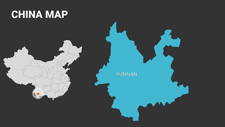
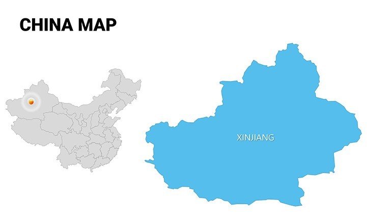
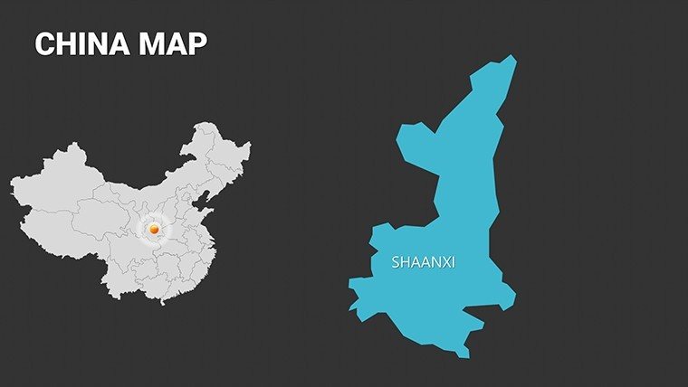
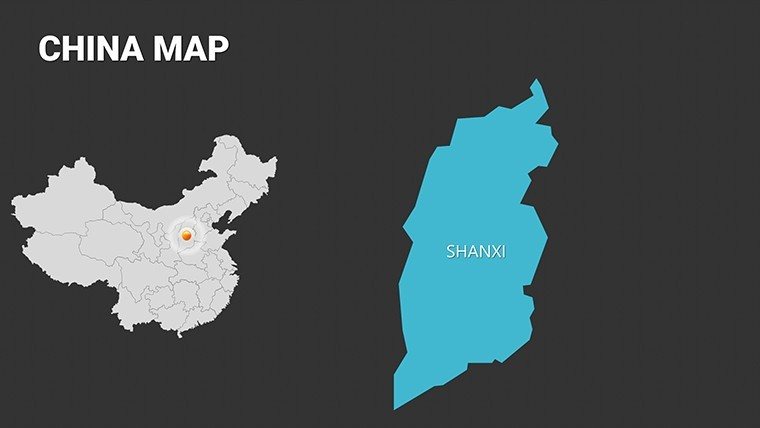
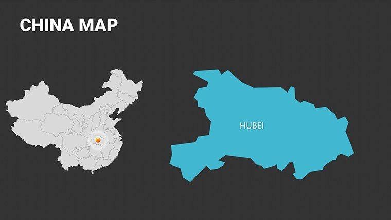
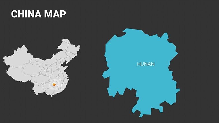
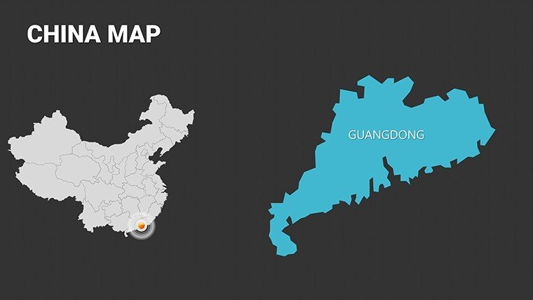
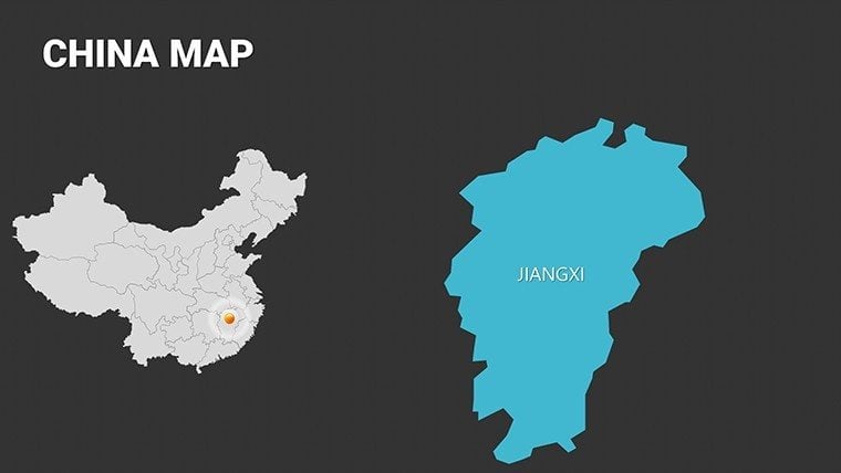
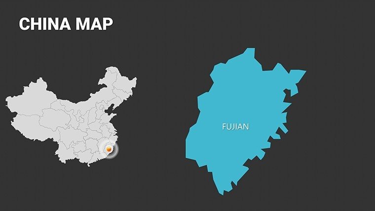
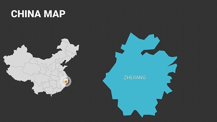
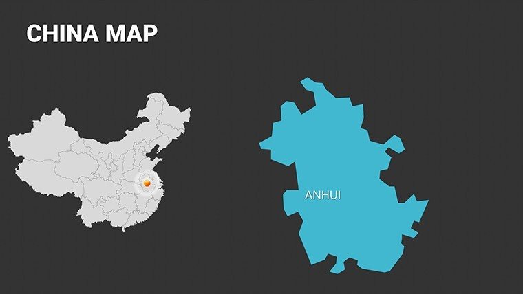
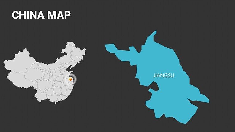
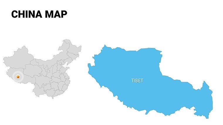
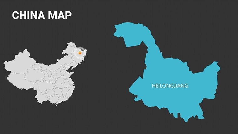
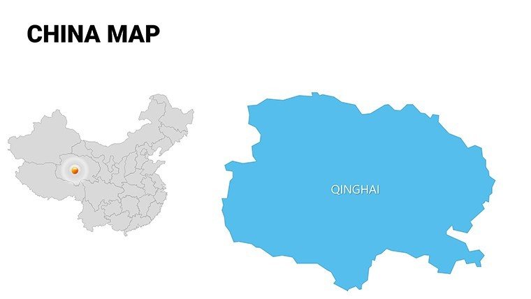
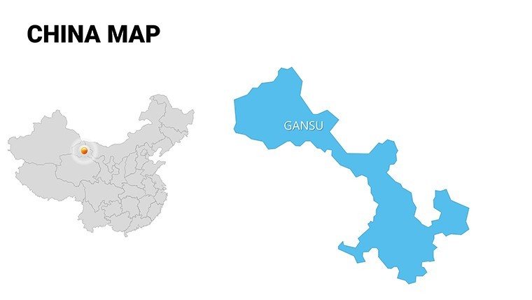
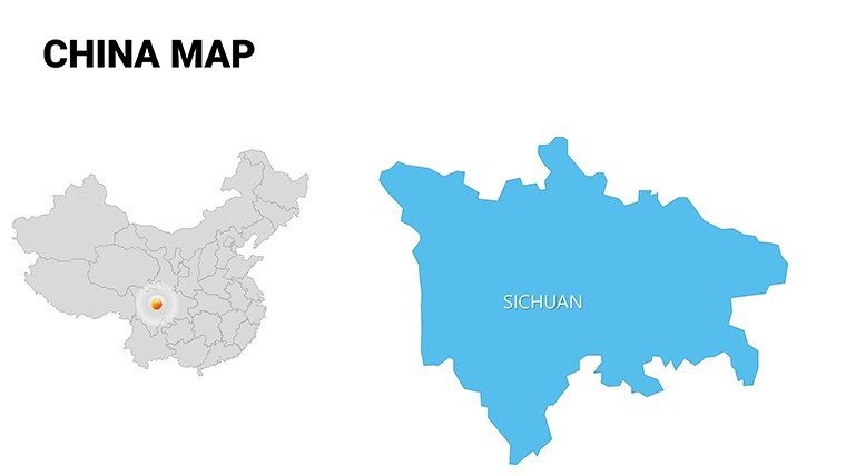
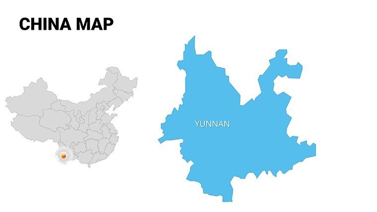
Envision a presentation that captures the intricate pulse of China, from bustling metropolises like Shanghai to the serene provinces of Yunnan, all rendered with professional precision. Our Complete China Editable PowerPoint Maps Template offers 54 versatile slides to bring your ideas to the forefront, whether you're dissecting economic trends or exploring cultural heritage. Perfect for business executives, educators, and researchers, this template integrates effortlessly with PowerPoint and Google Slides, turning geographical data into a strategic asset.
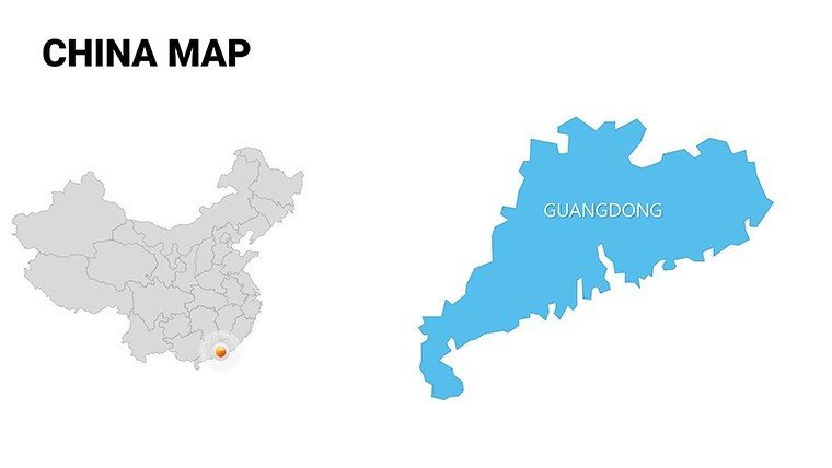
In the fast-paced world of global markets, where understanding regional dynamics can make or break a deal, this template provides the tools to shine. Customize province boundaries to spotlight manufacturing hubs in Guangdong or overlay demographic stats across the Silk Road regions. Its user-friendly interface means even non-designers can achieve boardroom-ready results, fostering confidence in every slide.
Essential Features for China-Focused Visuals
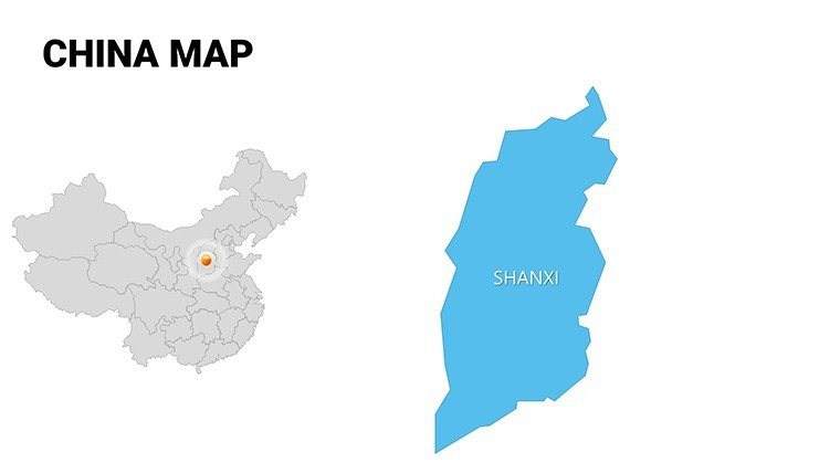
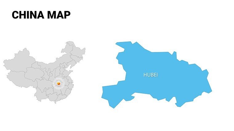
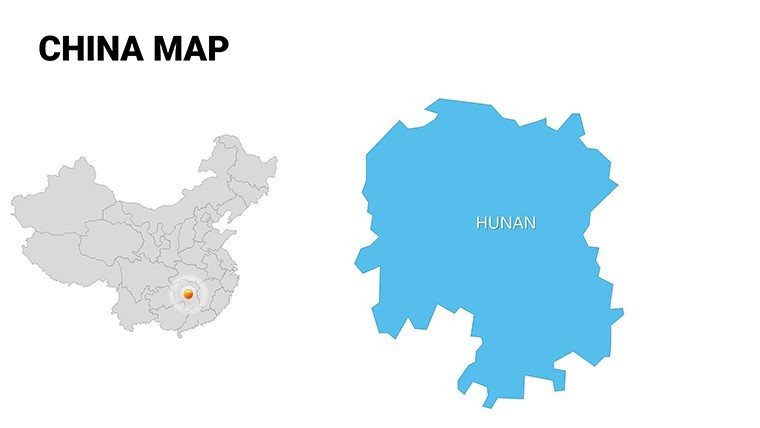
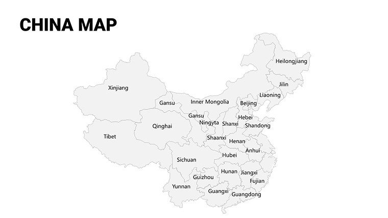
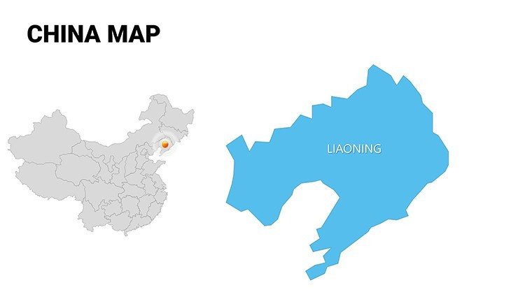
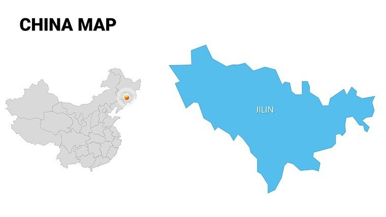
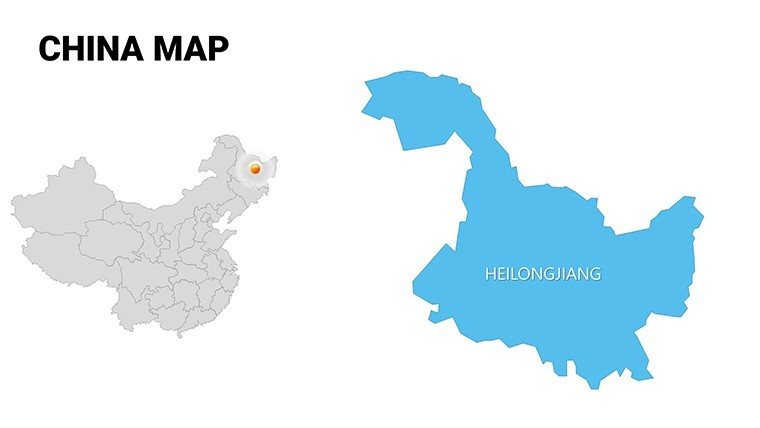
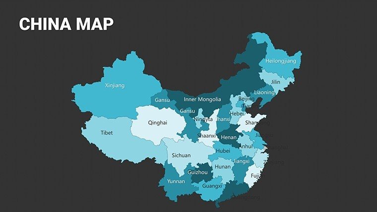
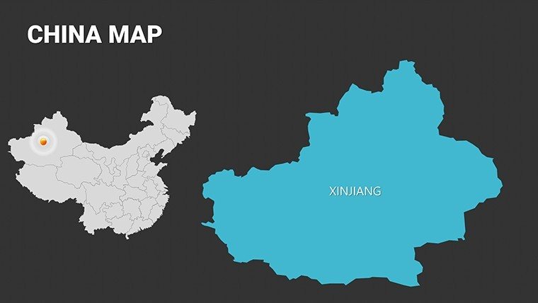
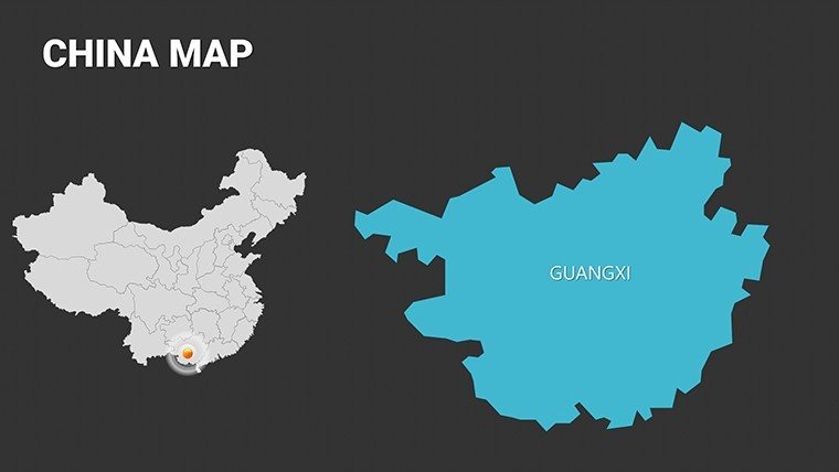
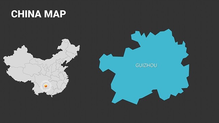
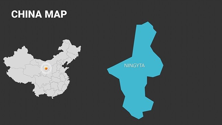
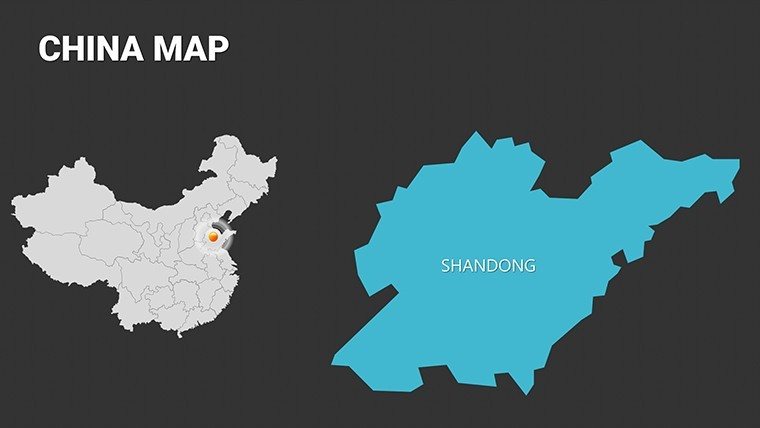
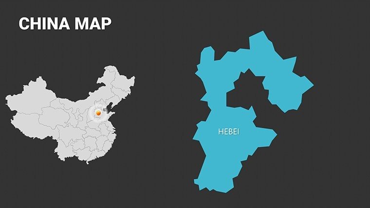
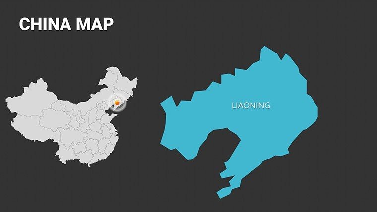
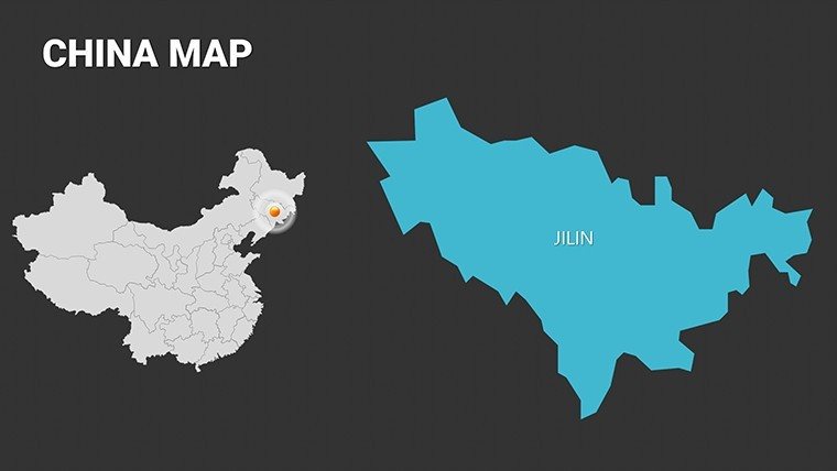
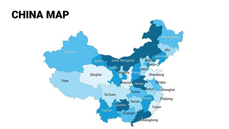
Crafted with attention to detail, this template's slides feature scalable vectors that preserve integrity for everything from macro-national overviews to micro-city analyses. Slide 18, for instance, allows hierarchical province breakdowns, ideal for hierarchical data like administrative divisions.
- Comprehensive Provincial Coverage: Detailed maps of all 34 regions, including autonomous areas, for accurate representation in policy or trade talks.
- Customizable Annotations: Embed icons for landmarks like the Great Wall or data points for Belt and Road initiatives.
- Themed Color Palettes: Inspired by traditional Chinese aesthetics - reds for prosperity, greens for growth - adaptable to modern branding.
- Data Visualization Aids: Built-in graphs for economic indicators, such as GDP per province, enhancing analytical depth.
Far superior to stock images, these elements draw from reliable geographic standards, ensuring in academic settings. A research firm in Beijing utilized slide 32 to map urban migration, streamlining their report preparation by half the usual time.
Targeted Applications in Business and Beyond
Apply this template to scenarios that demand nuance and impact. For marketers, use slide 10 to chart consumer trends in Tier-1 cities versus rural areas, informing expansion strategies with visual clarity. Educators can animate historical timelines on slide 42, tracing dynasties across regions to captivate learners.
Economists appreciate the flexibility for demographic visualizations, like population densities in the Yangtze Basin, aligning with UN development goals. Travel consultants layer itineraries on thematic maps (slides 20-25), highlighting routes from Beijing to Tibet. Follow this guide for optimal use:
- Base Setup: Choose a slide, import CSV data for auto-labeling cities and provinces.
- Layering Strategy: Stack info for multi-dimensional views, such as economic layers over cultural sites.
- Polish and Present: Use transitions to unfold narratives, like revealing trade routes progressively.
Real-world testimonials highlight its role in successful pitches, where customized maps have swayed investors by vividly illustrating market potentials. For cultural preservation projects, the template's sensitivity to regional diversity adds authenticity.
Empower Your Narrative with Chinese Geographic Insight
This template transcends mere mapping - it's a catalyst for deeper connections. With its robust features, it empowers users to convey complexity simply, earning trust in competitive arenas. Customize it to fit your vision and lead with authority.
Seize the opportunity: Download the Complete China Editable PowerPoint Maps Template today and chart a course to presentation excellence. Your insights deserve to be seen and remembered.
Frequently Asked Questions
Q: How detailed are the China maps in this template?A: They cover all provinces, cities, and regions with high-resolution vectors for precise editing and zooming.
Q: Is it suitable for economic research presentations?A: Yes, with built-in tools for overlaying data like GDP or trade stats on regional maps.
Q: Can the colors be changed to match my company's brand?A: Fully customizable colors and themes for seamless branding integration.
Q: What about compatibility with other software?A: Optimized for PowerPoint and Google Slides, with easy export options.
Q: Are there slides for specific themes like history or culture?A: Yes, including timeline and infographic slides tailored for cultural and historical narratives.
Good for
- Project roadmaps and sprint plans
- Product launch timelines
- Quarterly or annual review decks
- Company history and milestone summaries
Licence
reviews
I needed country maps fast and this one had decent infographic slides.
The timeline arrows helped me explain shipment routes without drawing everything myself.
Not perfect but good enough for a quick Monday report.
Colors were softer than I expected and looked nice on screen.
I only changed the icons and titles before presenting to my class.
FAQ
Will it work in Google Slides?
Are fonts embedded?
Can I use this for client work?
What's the refund policy?
Do you update the template after purchase?
Similar templates
See all PowerPoint Maps →
All 54 slides