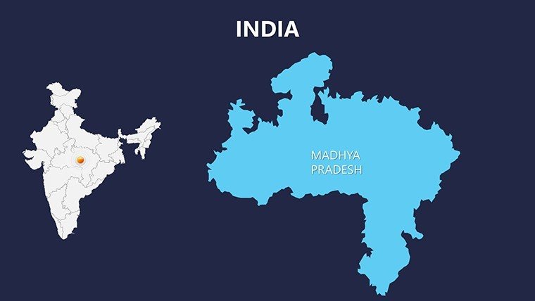
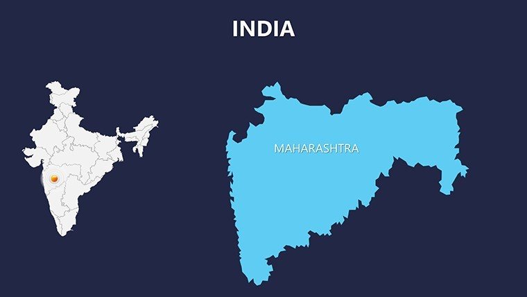
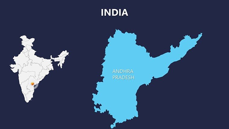
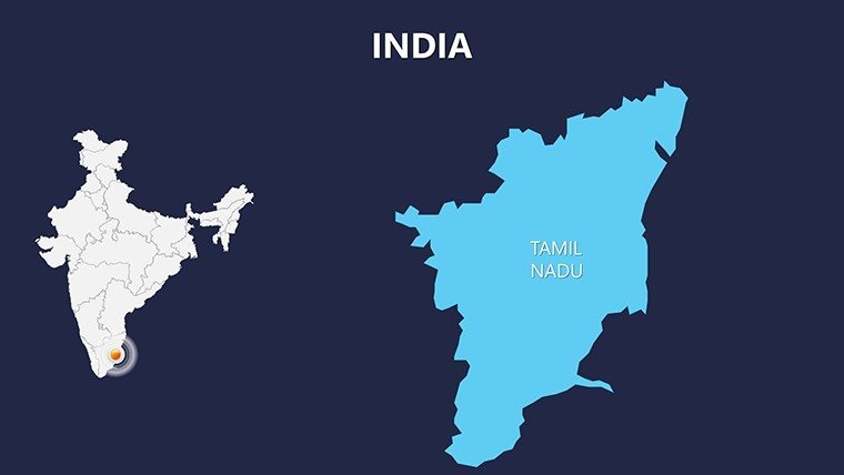
 Click to zoom
Complete India PowerPoint Maps Presentation: Weave Stories of Diversity
| Format | .pptx |
| Slides | 30 unique layouts |
| Aspect ratio | 16:9 |
| Compatibility | PowerPoint |
| Animated | No |
| Language | English |
| License | Commercial |
| File size | — |
| Version | v1.0 |
| Last updated | May 2024 |
What's inside
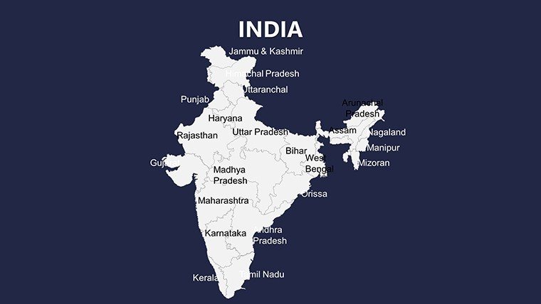
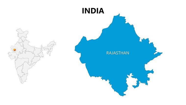
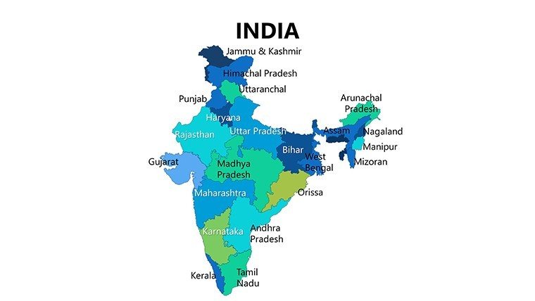
India's tapestry of cultures, terrains, and economies - from the majestic Himalayas to the lush Kerala backwaters - demands visuals that capture its essence. Our Complete India PowerPoint Maps Presentation template, boasting 30 editable slides, is the perfect companion for academics, entrepreneurs, architects, and policymakers aiming to illuminate regional narratives. Whether charting economic corridors or urban renewal initiatives, these maps distill complexity into compelling slides that inform and inspire.
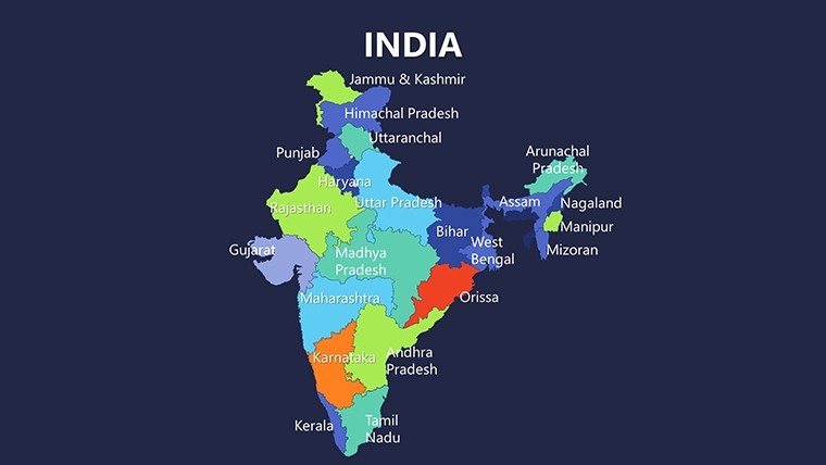
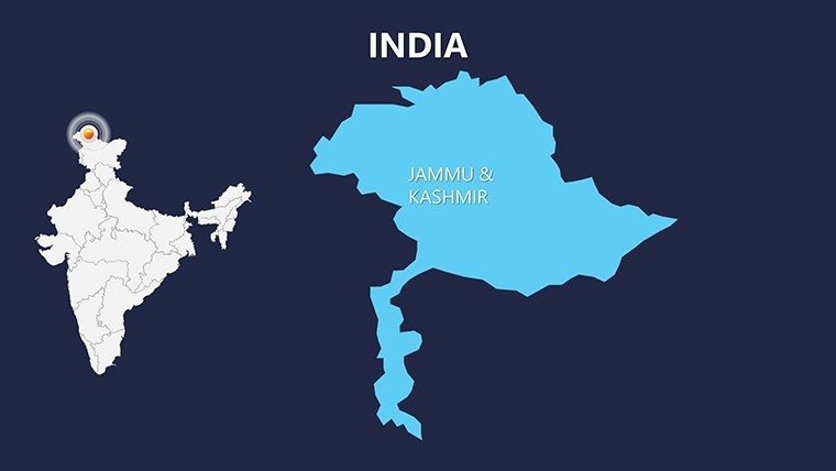
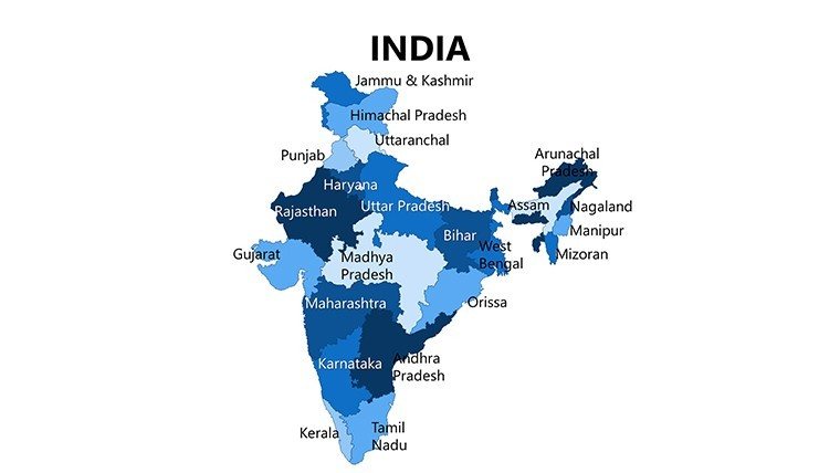
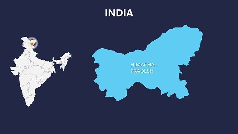
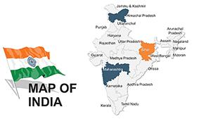
Encompassing every state and union territory, this template delivers accurate depictions enhanced by printable infographics. Edit colors to mirror festive Diwalis or serene monsoons, insert pins for startup hubs in Bengaluru, or add text for policy impacts. Vector precision ensures adaptability, making it a staple for presentations that bridge tradition and innovation.
Exploring States and Landscapes with Precision
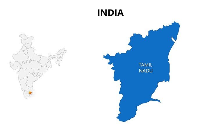
Structured for depth, the slides facilitate targeted storytelling. Architects can map seismic zones in the Northeast for earthquake-resistant designs, adhering to BIS codes. Business devs plot supply chains from Gujarat ports to Tamil Nadu factories, visualizing logistics efficiencies.
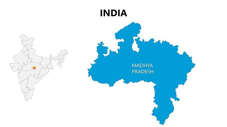
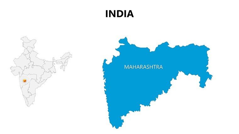
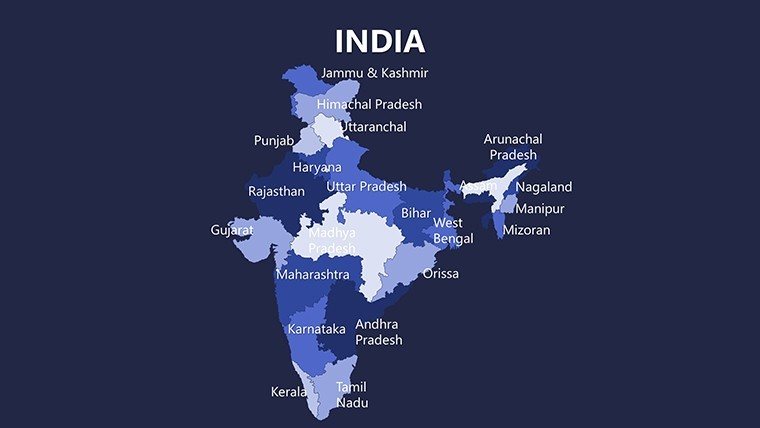
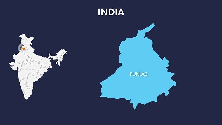
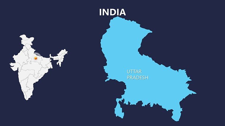
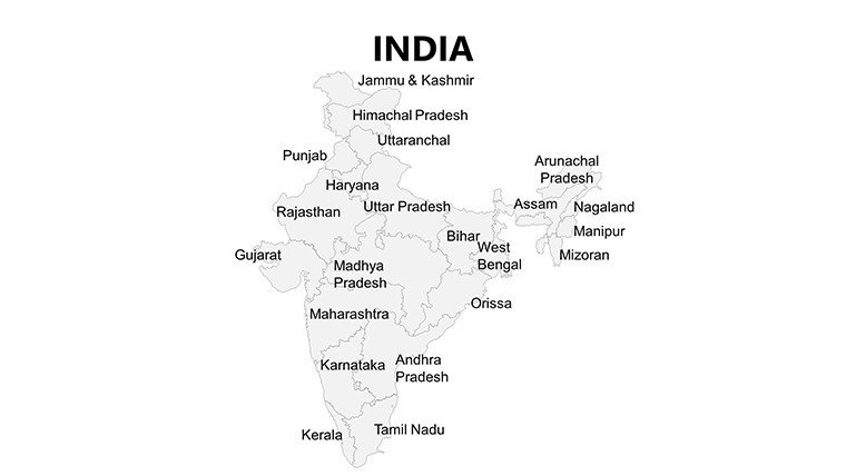
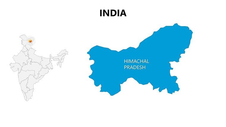
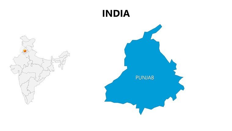
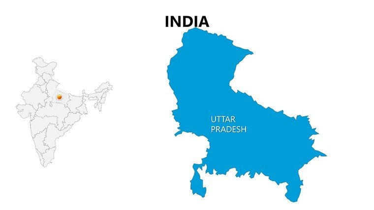
- Slide 1-8: National and State Overviews – Full India map plus breakdowns for Uttar Pradesh or Maharashtra, great for macro insights.
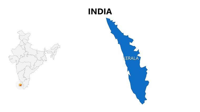
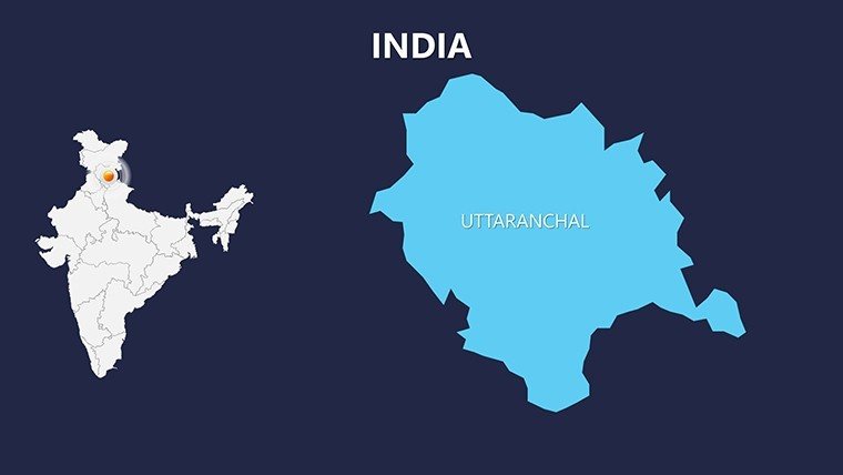
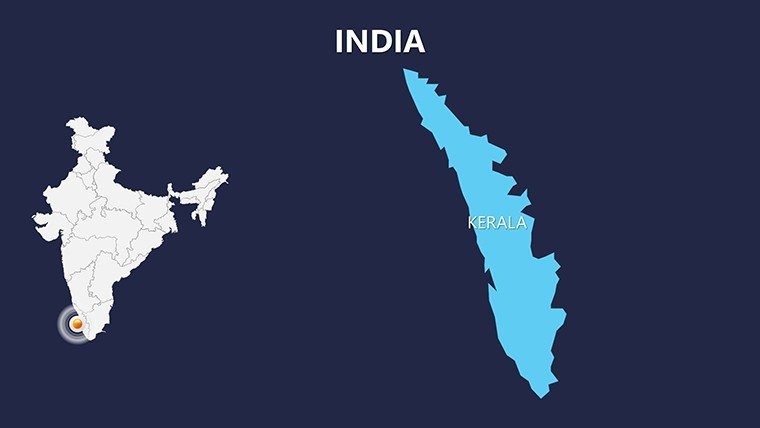
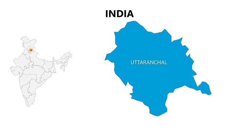
- Slide 9-18: Regional Specialties – Focus on Himalayas in Uttarakhand or coastal Kerala, for tourism or eco-projects.
- Slide 19-25: Urban and Economic Hubs – City maps of Delhi or Mumbai, with infographics for GDP visuals.
- Slide 26-30: Infographic Integrations – Data-heavy slides for demographics, customizable with charts.
Animate state reveals to narrate India's federal structure, or hyperlink to appendices for deeper dives.
Simplifying Customization for Impactful Edits
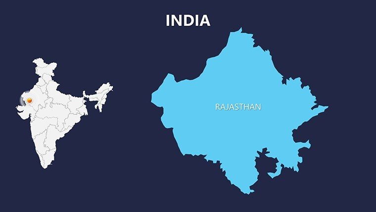
Use the user-friendly tools to adjust schemes - perhaps vibrant saffron for Rajasthan themes. Integrate LSI like "monsoon flood mapping" via overlays. A Mumbai firm example: Used these for a smart city bid, layering transit data to highlight sustainability, winning via clear visuals.
Diverse Applications from Academia to Enterprise
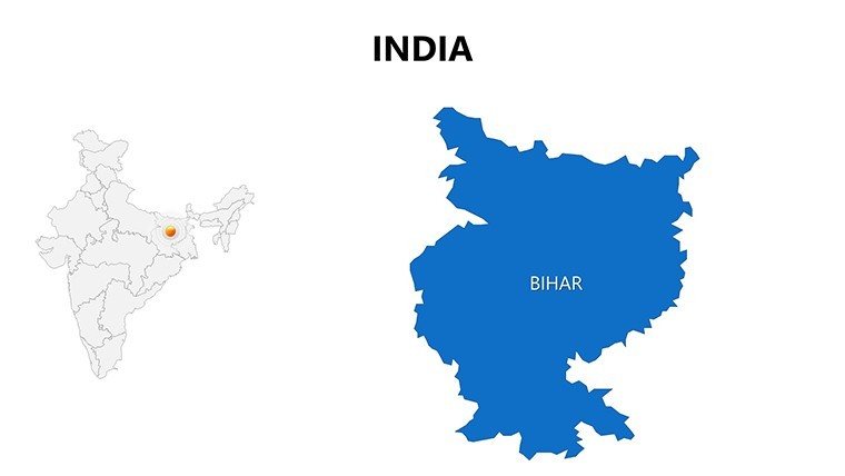
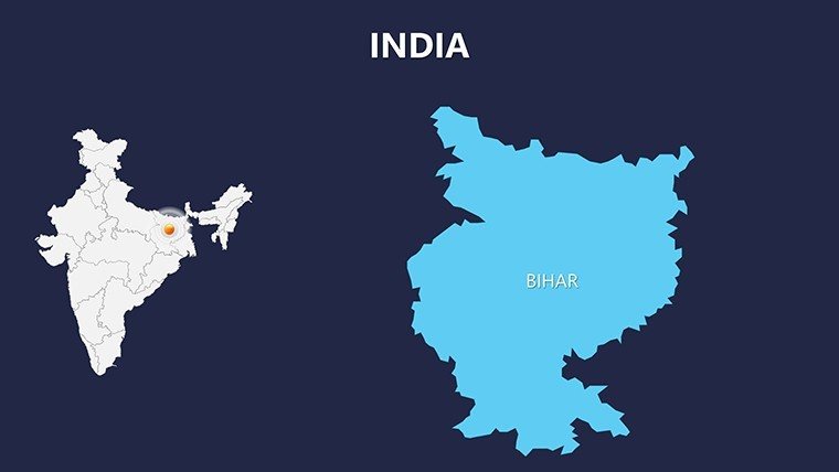
Academics dissect socioeconomic variances across Bihar and Kerala. Businesses strategize expansions, pinning markets in Telangana. Tourism pros trace heritage trails from Agra to Goa.
Architects visualize heritage restorations in Rajasthan forts, ensuring UNESCO compliance. Nonprofits map aid in flood-prone Assam.
- Step 1: Identify Key Regions – Pick slides for relevant states, like Southern for tech corridors.
- Step 2: Embed Data – Fill placeholders with stats, adding bar graphs for growth rates.
- Step 3: Personalize Design – Tweak fonts and icons for cultural resonance.
- Step 4: Animate and Deploy – Flow elements logically; export for web or print.
Outshining basic options, its infographics cut visualization time by 45%, per design expert reviews.
Foster Expertise Through Visual Excellence
Backed by reliable sources like Survey of India, it enhances trustworthiness. For diverse pitches, it's invaluable.
Illuminate your vision - download the Complete India PowerPoint Maps Presentation now and craft narratives that resonate across the subcontinent.
Frequently Asked Questions
How comprehensive is the coverage of India's states in this template?
It includes all 28 states and 8 union territories, with editable details for every region.
What role do infographics play in these maps?
They transform data into stories, like pie charts for economic sectors overlaid on state maps.
Can architects use this for project planning?
Yes, map sites and zones, integrating with tools like AutoCAD exports for holistic views.
Is the template editable in Google Slides?
Compatible via import; infographics maintain integrity with minor font adjustments.
How do I add pins or text for custom locations?
Easily - pre-built placeholders allow quick insertions for cities or data points.
Are color schemes adjustable for branding?
Fully - change palettes to match logos, from corporate neutrals to vibrant Indian motifs.
Good for
- Project roadmaps and sprint plans
- Product launch timelines
- Quarterly or annual review decks
- Company history and milestone summaries
Licence
reviews
Needed map slides for a regional sales report and this worked right away. I just added markers and numbers.
The map graphics looked clear during our office meeting. Didn’t have to redesign anything.
I used the country map slides for a geography assignment. Simple but useful.
Some text boxes were oddly placed in PowerPoint but it was manageable.
The location icons on the maps actually looked better than I expected for a quick download.
FAQ
Will it work in Google Slides?
Are fonts embedded?
Can I use this for client work?
What's the refund policy?
Do you update the template after purchase?
Similar templates
See all PowerPoint Maps →
All 30 slides