 Click to zoom
Asia Countries PowerPoint Maps: Quick PPT Download
| Format | .pptx |
| Slides | 14 unique layouts |
| Aspect ratio | 16:9 |
| Compatibility | PowerPoint |
| Animated | No |
| Language | English |
| License | Commercial |
| File size | — |
| Version | v1.0 |
| Last updated | May 2024 |
What's inside
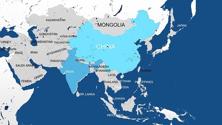
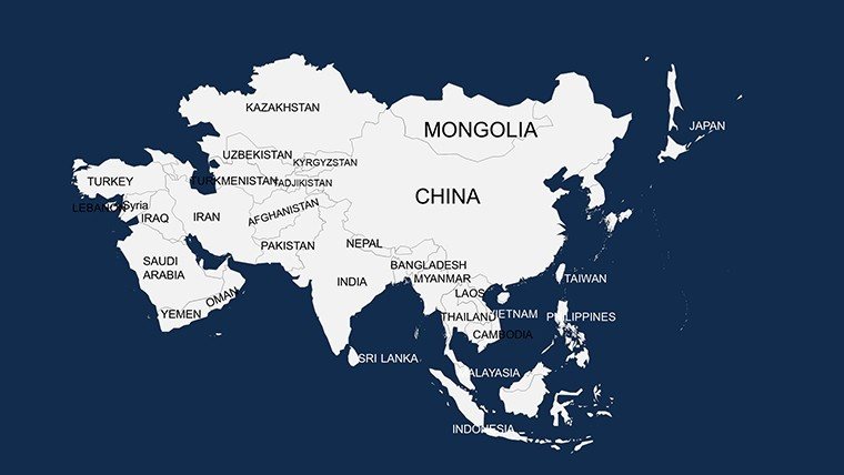
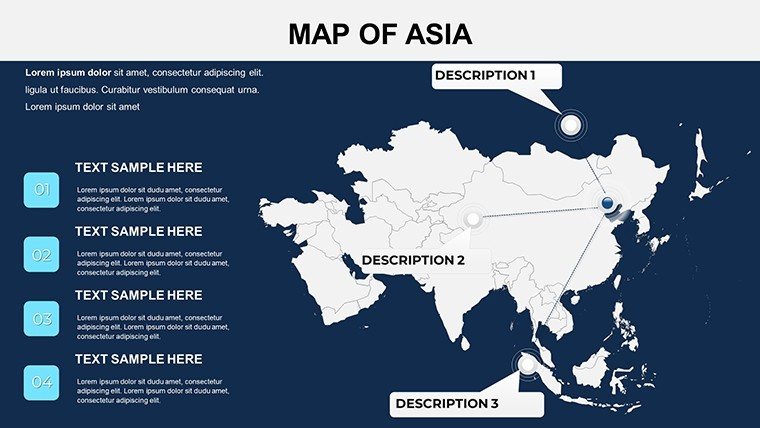
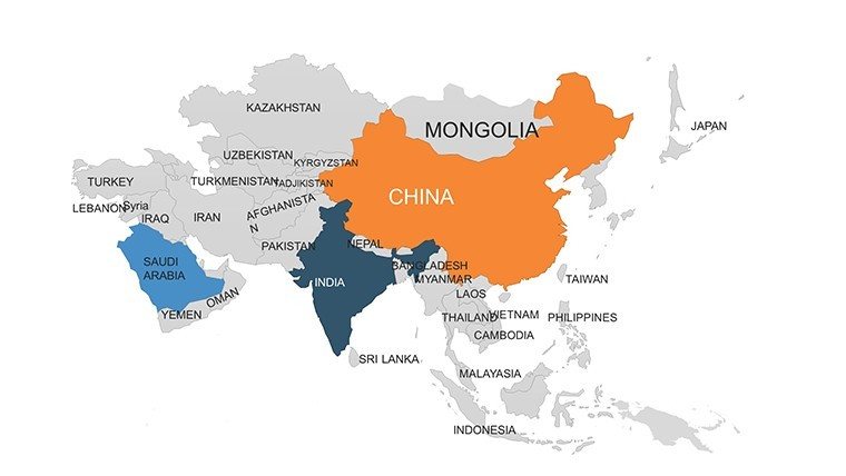
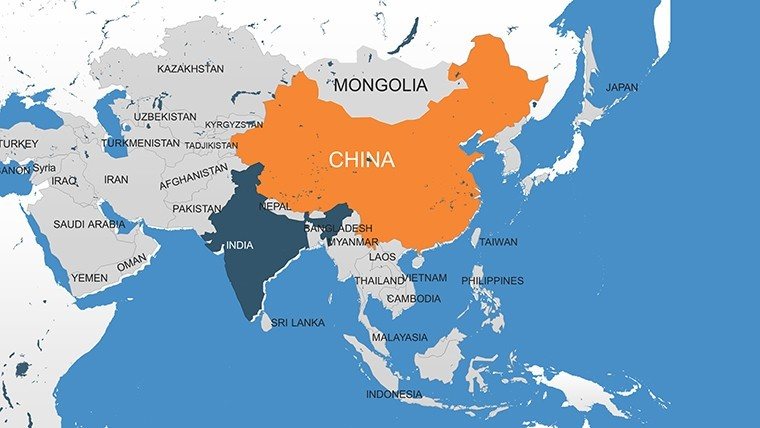
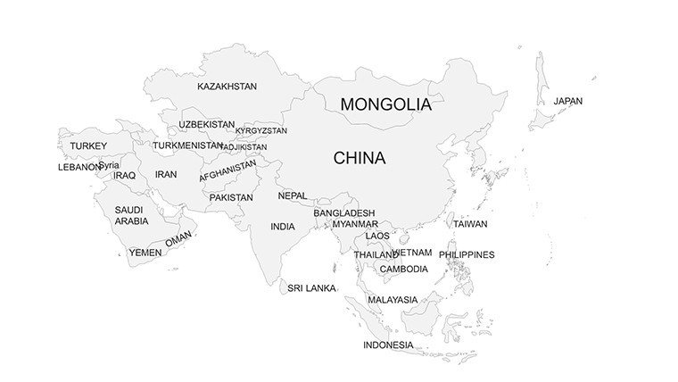
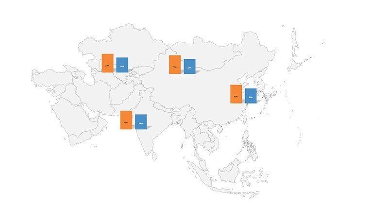
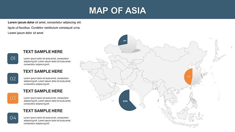
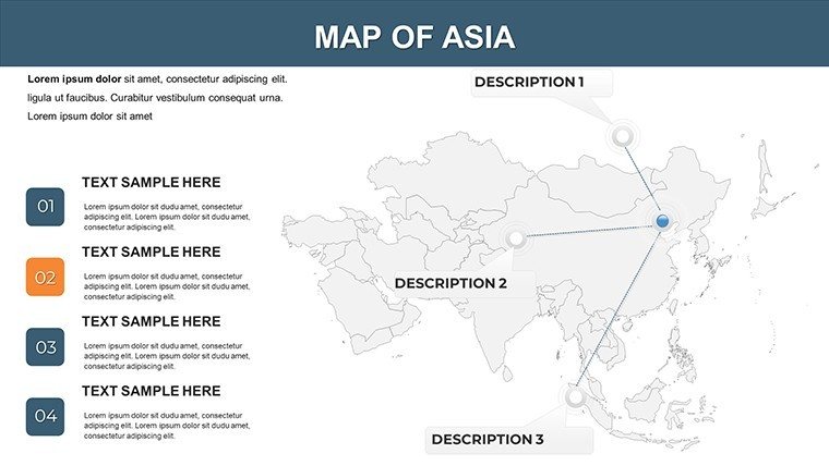
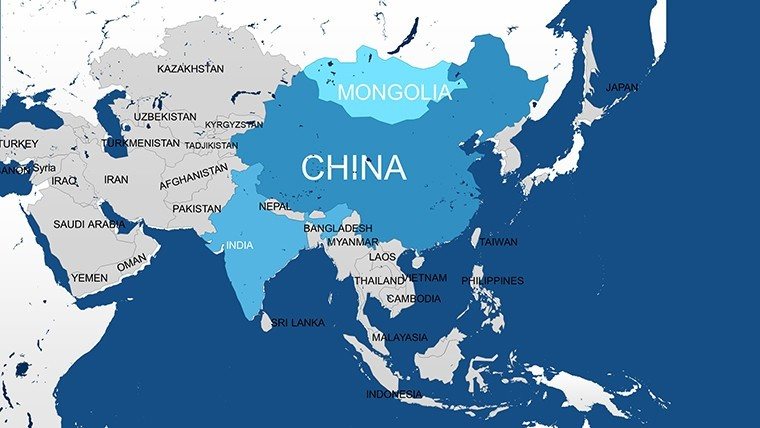
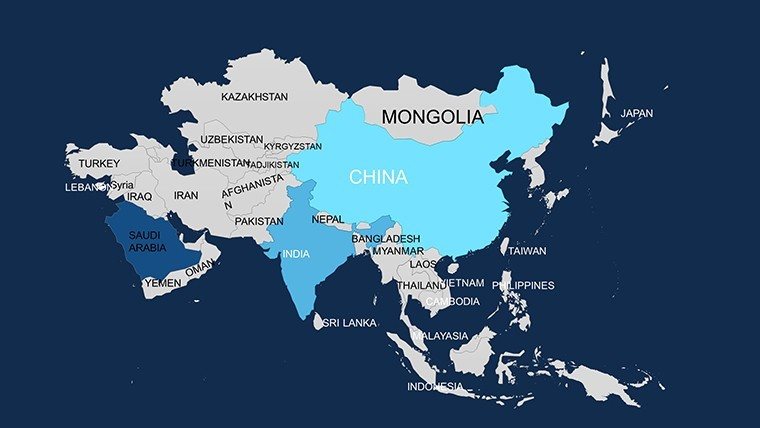
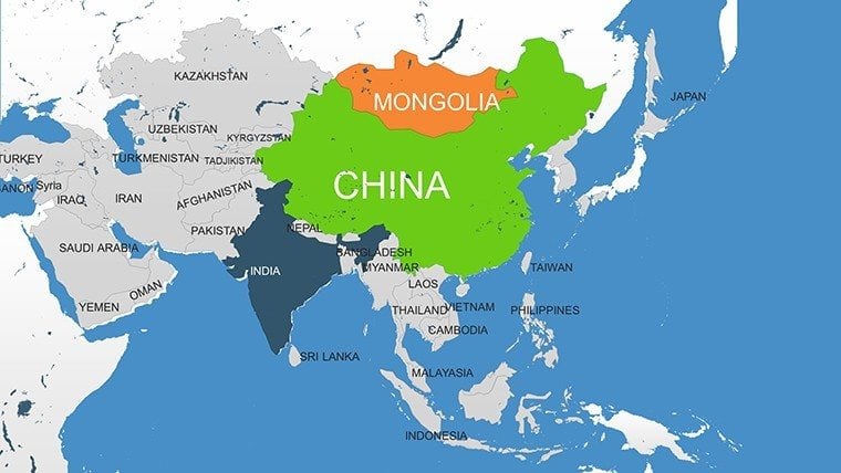
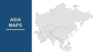
Step into the dynamic realm of Asia, where ancient traditions meet modern megacities, and let our Asia Countries PowerPoint Maps Template guide your narrative. With 14 editable slides spanning key nations like China, India, Japan, and Saudi Arabia, this tool is crafted for architects envisioning cross-border collaborations, business leaders charting supply chains, or historians tracing silk road legacies. Download this PPT and infuse your presentations with the continent's scale and vibrancy, making abstract strategies tangible and irresistible.
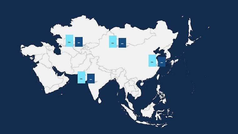
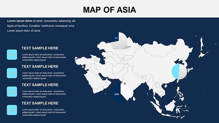
Informed by global design best practices, including those from Asian Development Bank visualizations, this template eliminates the drudgery of imprecise maps and clunky edits. Seamless in PowerPoint and Google Slides, it lets you layer economic indicators over the Himalayas or highlight urban expansions in Seoul, all while maintaining geopolitical accuracy. It's about empowering you to communicate with confidence, turning potential clients into partners through visuals that resonate on an international stage.
Core Features Driving Asian Insights
This template's strength lies in its balanced coverage and adaptability, with slides that evolve from broad continental views to focused country profiles. Professionals in architecture find the border precision invaluable for site feasibility studies across diverse terrains.
- Expansive Geographic Scope: Maps of 20+ countries, including detailed insets for high-growth areas like the Yangtze Delta.
- Robust Customization: Tweak palettes for cultural motifs - reds for China, saffron for India - while resizing for emphasis.
- Enhanced Graphics: High-res icons for ports, temples, and pipelines, plus flexible overlays for trade routes.
- Streamlined Usability: Intuitive edits that cater to fast-paced environments, no advanced skills required.
- Universal Fit: PowerPoint-native with Google Slides sync for global team access.
Elevating beyond ordinary tools, it's like the one used by a Singapore firm to map ASEAN infrastructure, clinching a multi-billion deal. Such applications affirm its role in building credible, expert-driven content.
Strategic Use Cases for Global Impact
Business presenters use Slide 3's Asia overview to delineate investment hotspots, from Tokyo's tech corridors to Dubai's hubs. In education, Slide 7's India focus illustrates monsoon effects on architecture, fostering discussions on resilient designs. Travel experts craft epics on Slide 11, plotting adventures from Bali to Beijing with engaging paths.
For geopolitical pros, the template dissects alliances via Slide 13, shading spheres of influence. Architects overlay blueprints on Japan's urban maps in Slide 9, addressing earthquake-proofing in real contexts.
- Deployment Steps: Import boundary data, customize themes, and animate reveals for dramatic effect.
- Insider Tips: Incorporate satellite-inspired shading for elevation in Himalayan project visuals.
- Advanced Integrations: Hyperlink to videos of landmarks for immersive, multi-media experiences.
Here, maps become bridges to understanding Asia's complexities, from economic booms to cultural tapestries, ensuring your presentations leave indelible marks.
Why It Outperforms the Rest
Sourced from authoritative datasets, it trumps vague alternatives with comprehensive, up-to-date details at $16, offering scalability for repeated use in boardrooms worldwide.
Chart your course to excellence. Download the Asia Countries PowerPoint Maps template right away and conquer presentations with continental command. Connect, convince, and captivate - Asia's story is yours to tell.
Frequently Asked Questions
Which Asian countries are covered in detail?
Major ones like China, India, Japan, South Korea, and Saudi Arabia, with editable layers for specifics.
Is it suitable for geopolitical presentations?
Yes, perfect for analyzing alliances and trends with accurate border representations.
Can architects use it for project mapping?
Certainly - overlay designs on country maps for international collaboration visuals.
Does it include high-quality icons?
Yes, diverse icons for cultural and infrastructural elements across Asia.
How flexible is the customization?
Highly - adjust everything from colors to shapes for tailored, professional outputs.
Good for
- Project roadmaps and sprint plans
- Product launch timelines
- Quarterly or annual review decks
- Company history and milestone summaries
Licence
reviews
The map slides helped explain our delivery regions clearly.
I used this for a logistics report at work.
Some map labels were too small before editing.
The chart pages blended nicely with the location graphics.
FAQ
Will it work in Google Slides?
Are fonts embedded?
Can I use this for client work?
What's the refund policy?
Do you update the template after purchase?
Similar templates
See all PowerPoint Maps →
All 14 slides