 Click to zoom
Customizable India PowerPoint Maps: Vast Narratives Unveiled
| Format | .pptx |
| Slides | 44 unique layouts |
| Aspect ratio | 16:9 |
| Compatibility | PowerPoint |
| Animated | No |
| Language | English |
| License | Commercial |
| File size | — |
| Version | v1.0 |
| Last updated | May 2024 |
What's inside
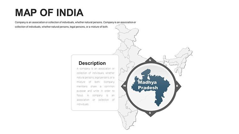
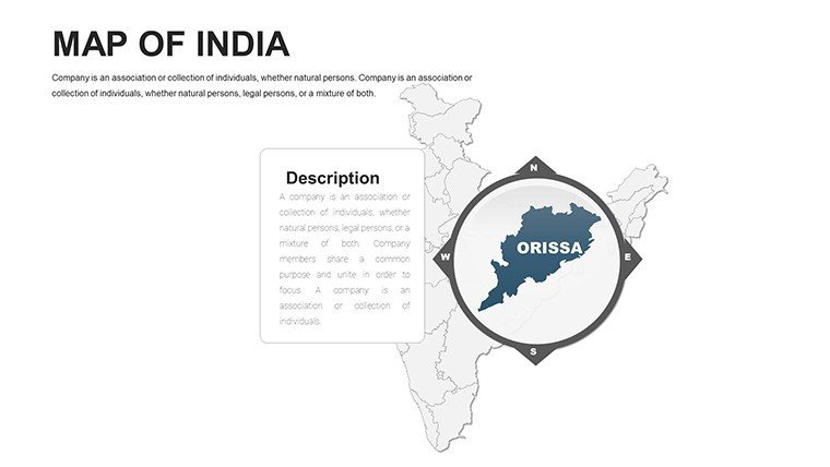
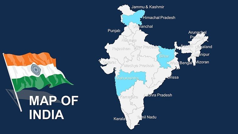
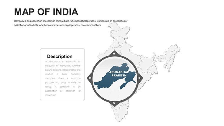
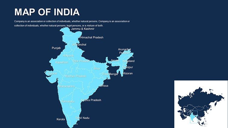
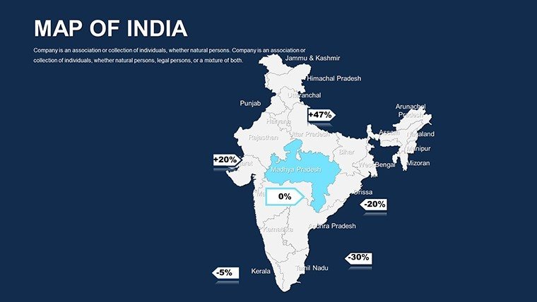
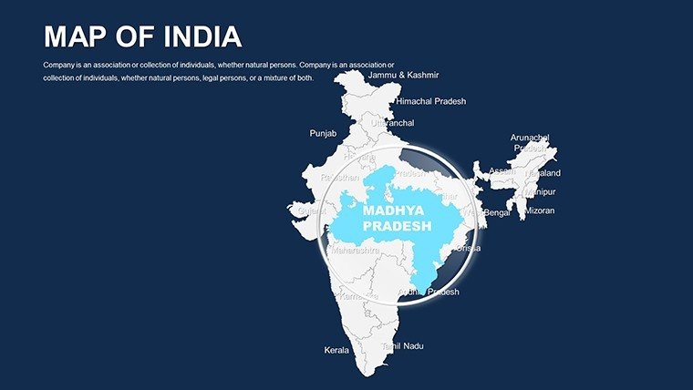
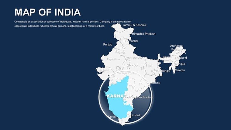
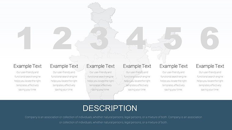
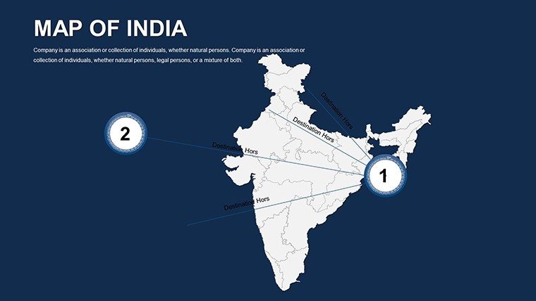
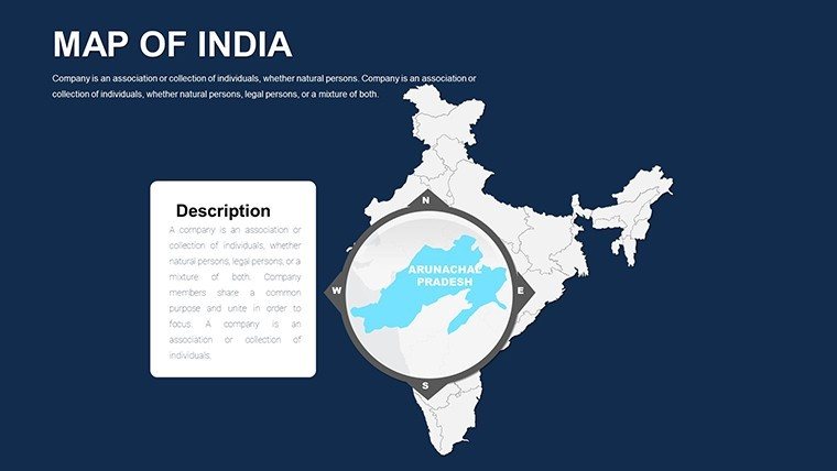
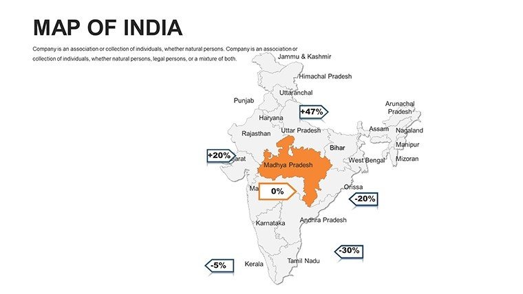
India's immense diversity - from the Himalayas to the Indian Ocean - requires maps that capture its scale and vibrancy. Our Customizable India PowerPoint Maps Template, with 50 editable slides including continent views, does precisely that, aiding architects in sprawling urban visions, policymakers in resource allocation, and educators in cultural explorations. Visualize monsoonal impacts on Mumbai's infrastructure or economic corridors linking Delhi to Chennai; these tools make grand ideas accessible, fostering informed dialogues in global forums.
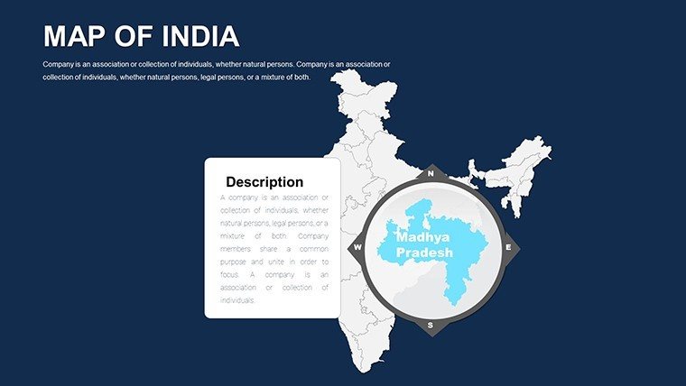
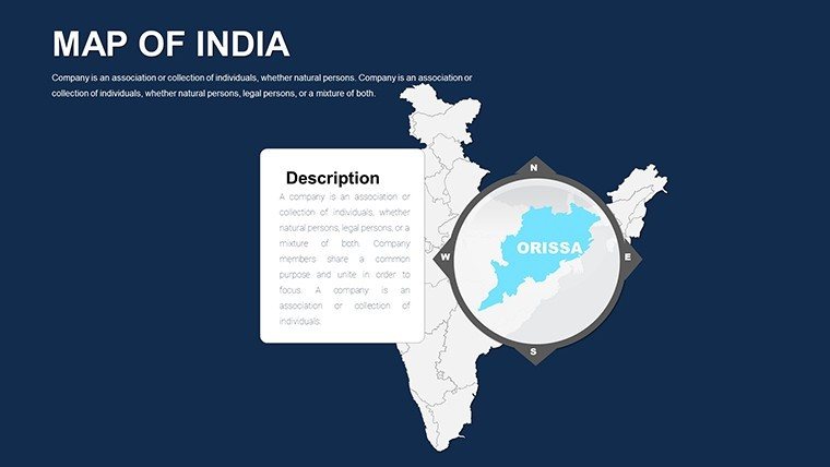
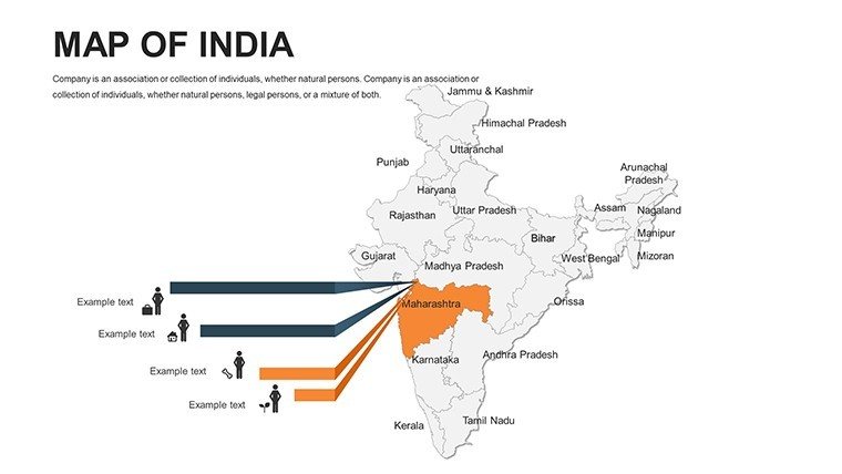
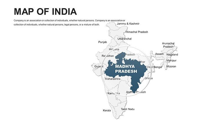
Optimized for PowerPoint across versions and Google Slides, the template offers high-quality, precise maps with personalization for colors, labels, and markers. Integrating graphs and images, it supports holistic presentations, drawing on insights from the Indian Institute of Architects for robust spatial analysis in development projects.
Harnessing India's Geographic Richness in Your Slides
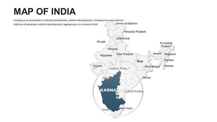
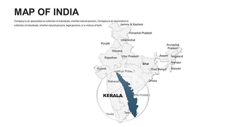
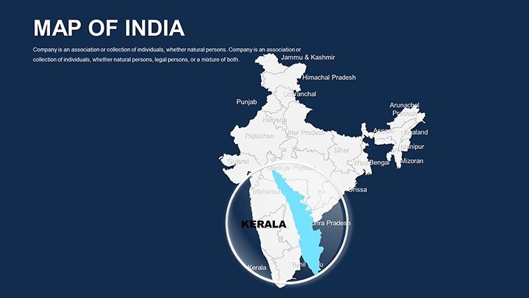
Customization elevates communication: Highlight biodiversity hotspots in Kerala for eco-architecture pitches, layering climate data to underscore adaptive designs. A Bangalore firm leveraged similar maps to win a smart city contract, using state-wise visuals to depict integrated transport, earning praise for comprehensive foresight.
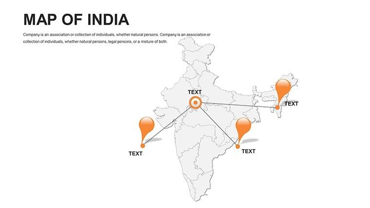
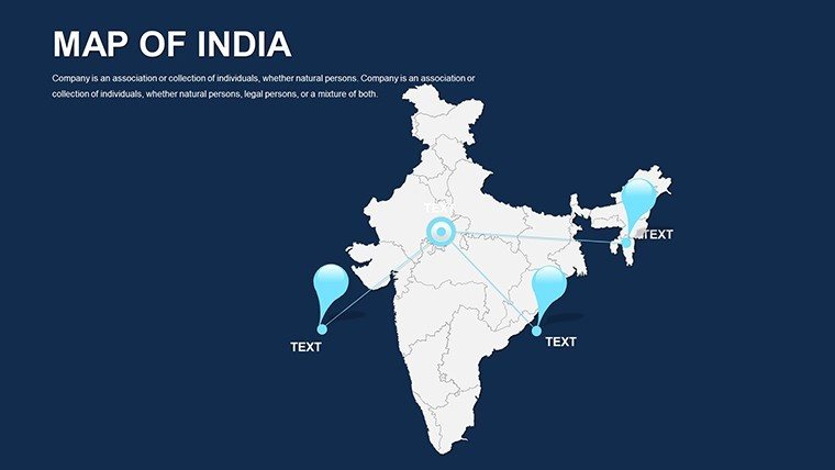
Business pros map supply chains across Uttar Pradesh's industries, while teachers illustrate partition history by animating state evolutions. Intuitive UI ensures ease - add pins for landmarks like the Taj Mahal or tweak schemes for thematic unity.
Essential Features for Dynamic Mapping
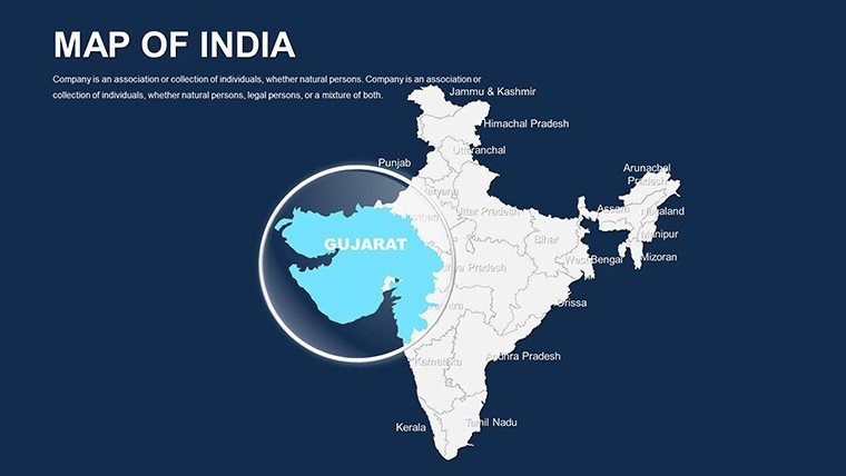
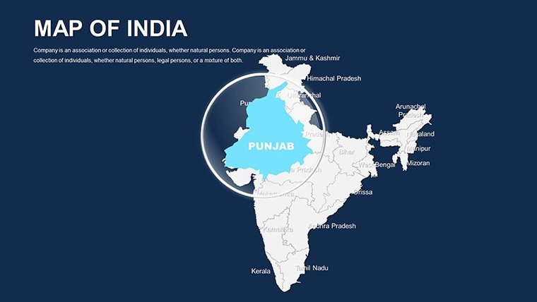
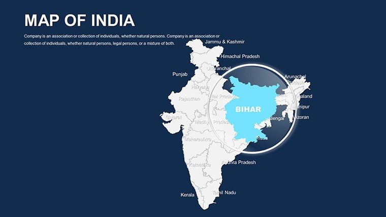
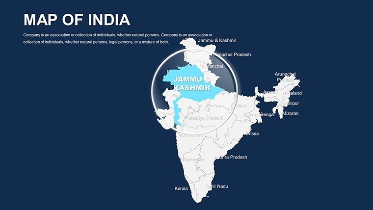
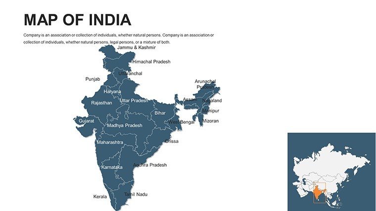
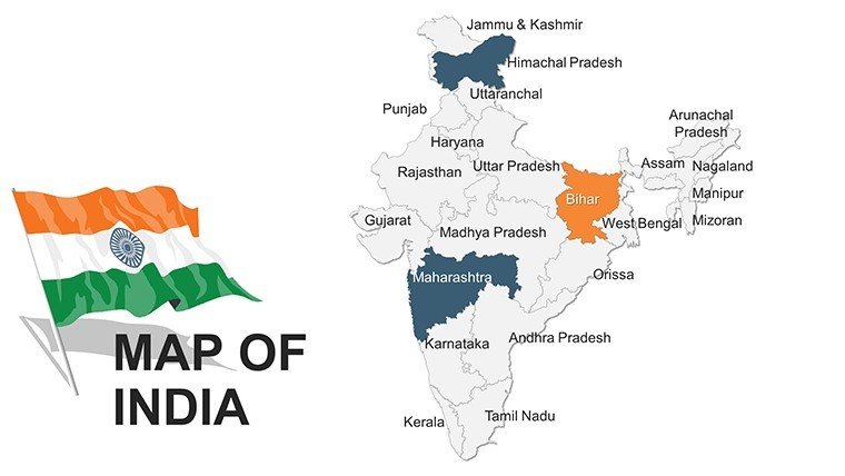
- Precise State and City Details: Editable boundaries for 28 states and 8 union territories.
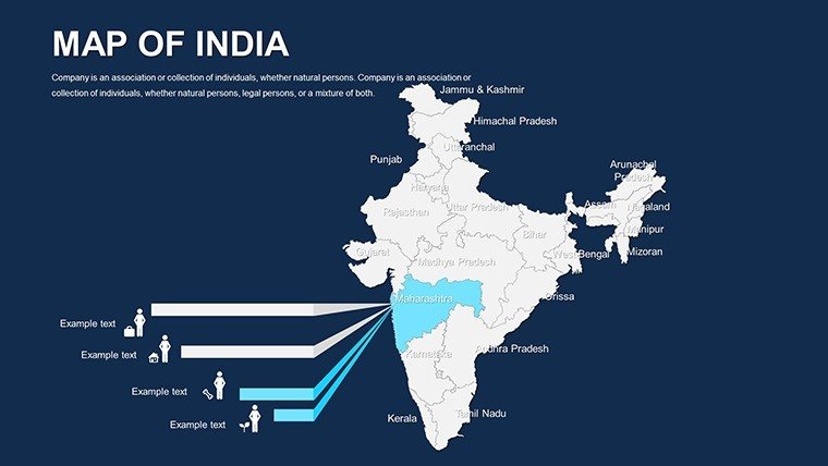
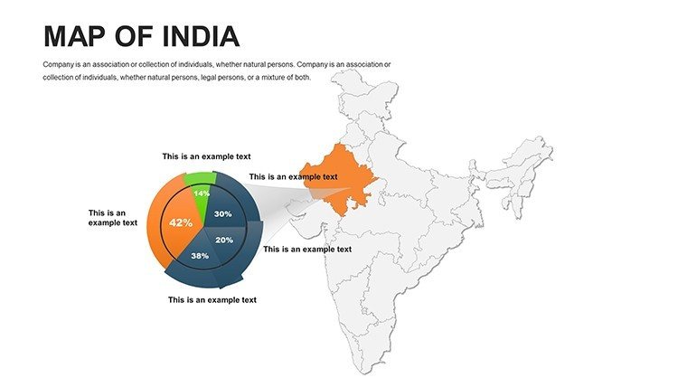
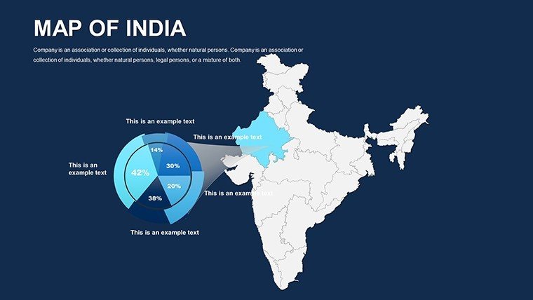
- Infographic Synergy: Slots for charts on population or GDP, seamlessly blended.
- User-Friendly Edits: Intuitive tools for markers, colors, and text without steep learning.
- High-Res Integration: Combine with photos of sites like Varanasi ghats.
- Versatile Formats: From national overviews to regional zooms.
Outshining free variants' inaccuracies, this template's thoroughness - covering monsoons to metros - delivers professional polish effortlessly.
Targeted Use Cases: Spanning India's Spectrum
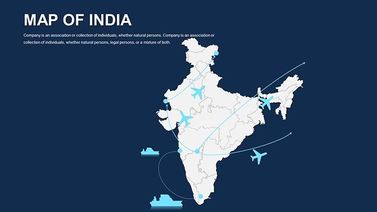
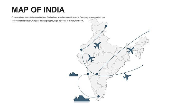
In architecture, overlay heritage preservation plans on Rajasthan's forts, aligning with conservation norms and captivating heritage boards. Tourism operators trace spice trails from Kerala to Gujarat, spiking interest with vivid routes.
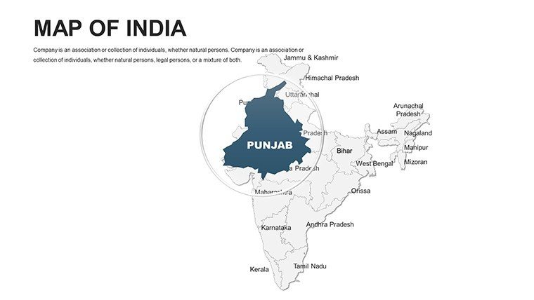
Government analysts visualize policy effects, like irrigation in Punjab, using data visuals for stakeholder buy-in. One NGO saw advocacy success after mapping water scarcity, influencing allocations.
Streamline with Excel imports or GIS ties. Advice: Use vibrant hues for cultural pops, and modular builds for scalable stories.
Strategic Tips for Planners and Designers
- Detail Balance: Zoom selectively to avoid overload in dense areas.
- Data Fusion: Link stats for auto-updates on economic shifts.
- Cultural Nuance: Respect diverse symbols in icon choices.
- Audience Adaptation: Simplify for general vs. deepen for experts.
Such practices build trust, showcasing your grasp of India's complexities.
Why This Template Excels
Beyond basics, it offers continent context, policy visuals, and updates - like 2025 census integrations - plus support. Efficiency testimonials: A professor halved class time, boosting retention.
Acquire the Customizable India PowerPoint Maps Template and weave its threads into your tapestry. From policy blueprints to educational epics, empower your voice. Download and design destiny today!
Frequently Asked Questions
How customizable are the India maps?
Comprehensive - alter colors, add markers, integrate visuals freely.
Google Slides compatibility?
Complete, for smooth sharing and edits.
Ideal for urban planning presentations?
Yes, with layers for infrastructure and demographics per IIA guidelines.
Includes continent views?
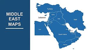
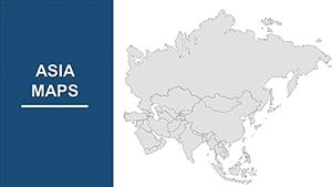
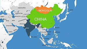
Affirmative, for broader South Asian contexts.
Support for data visuals?
Built-in for graphs, charts, enhancing narratives.
Free updates included?
Lifetime, covering boundary or data evolutions.
Good for
- Project roadmaps and sprint plans
- Product launch timelines
- Quarterly or annual review decks
- Company history and milestone summaries
Licence
reviews
I used these maps for a customer expansion presentation.
The slides were easy to rearrange in PowerPoint.
A few layouts felt too empty though.
Worked fine for a rushed deadline.
FAQ
Will it work in Google Slides?
Are fonts embedded?
Can I use this for client work?
What's the refund policy?
Do you update the template after purchase?
Similar templates
See all PowerPoint Maps →
All 44 slides