 Click to zoom
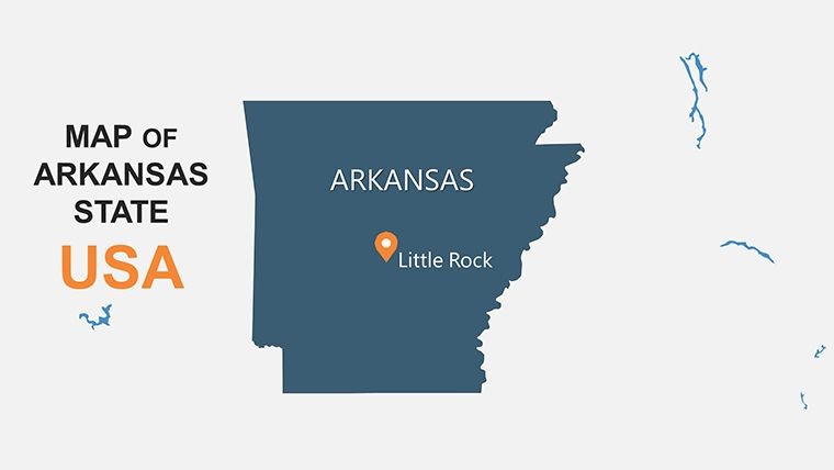
Arkansas Keynote Maps: Craft Compelling Stories from State Landscapes
| Format | .pptx |
| Slides | 26 unique layouts |
| Aspect ratio | 16:9 |
| Compatibility | PowerPoint |
| Animated | No |
| Language | English |
| License | Commercial |
| File size | — |
| Version | v1.0 |
| Last updated | April 2025 |
What's inside
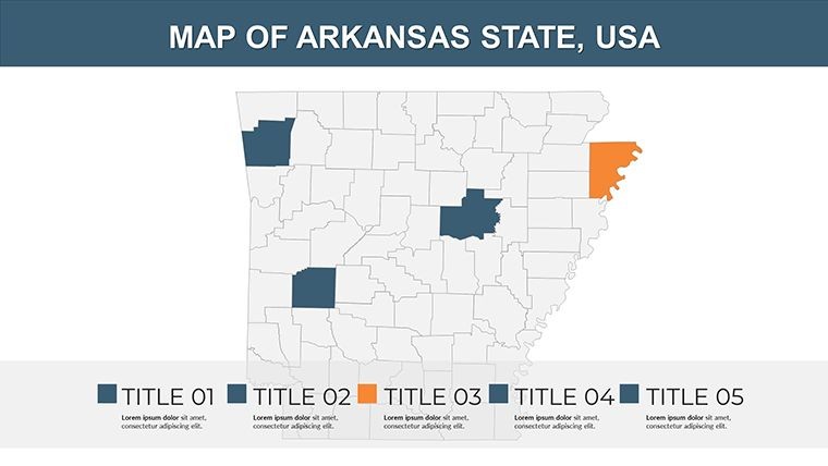
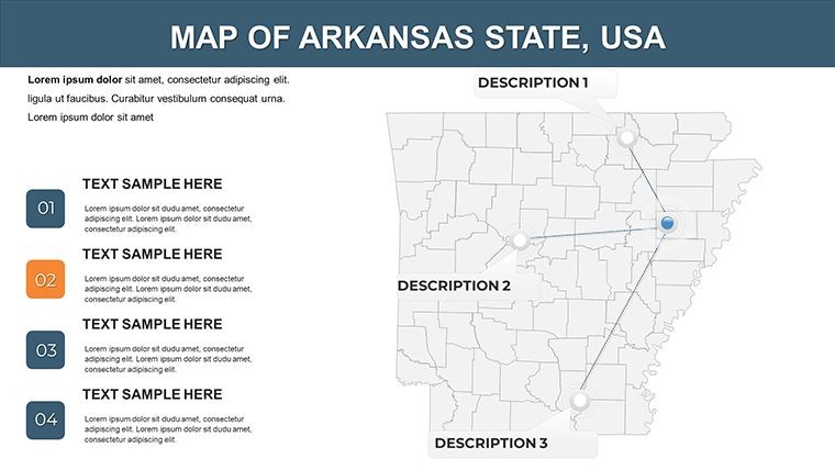
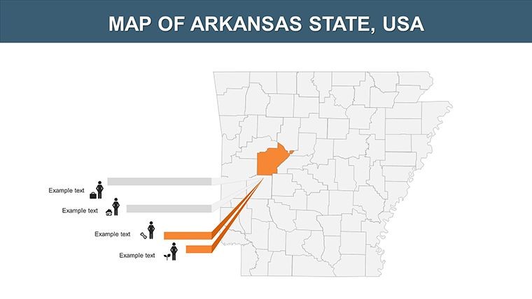
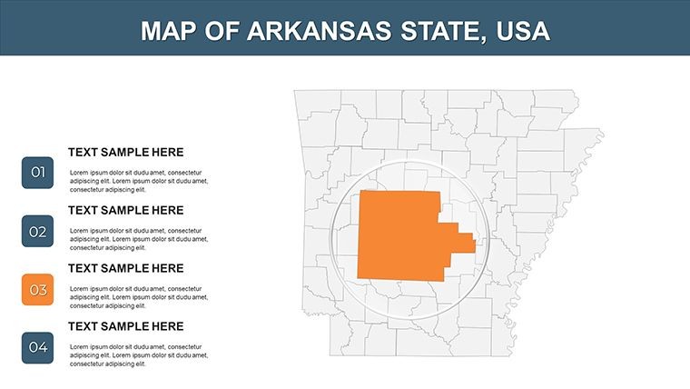
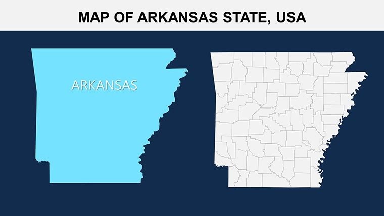
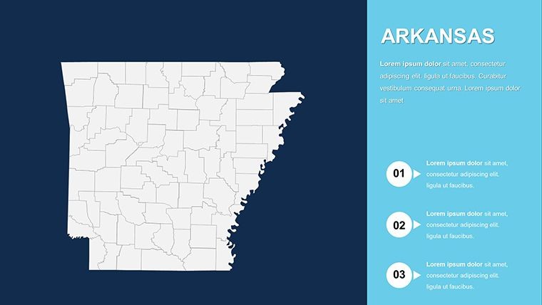
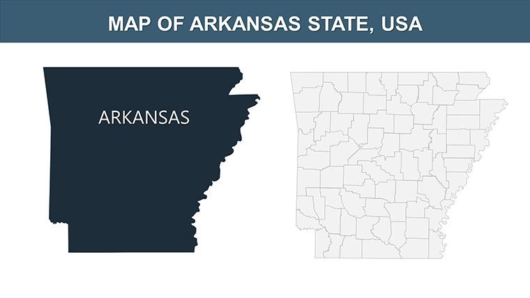
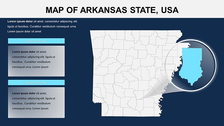
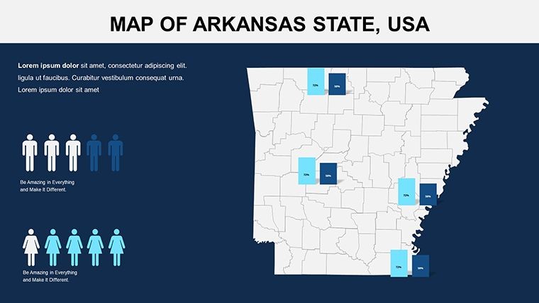
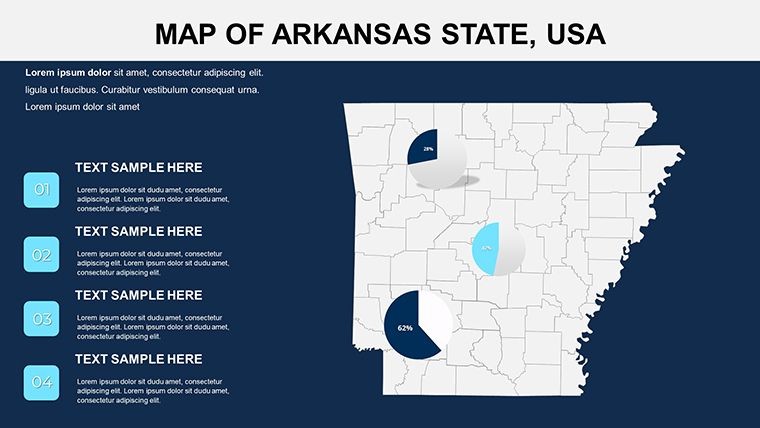
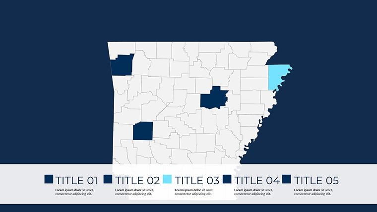
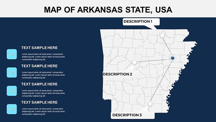
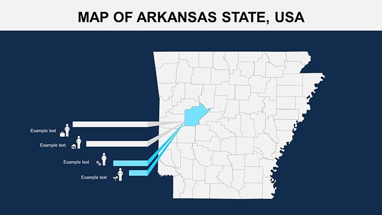
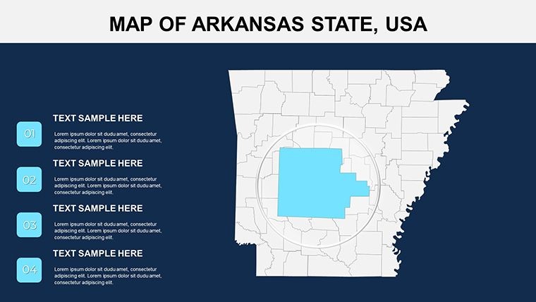
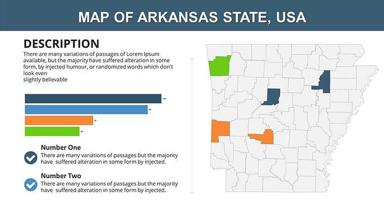
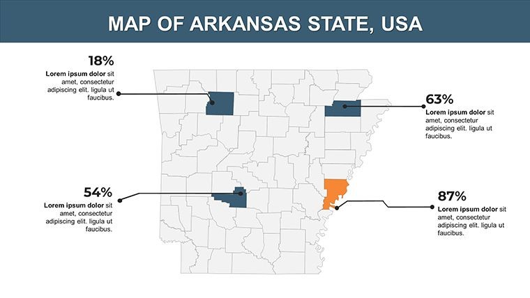
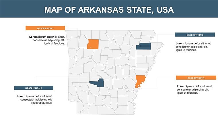
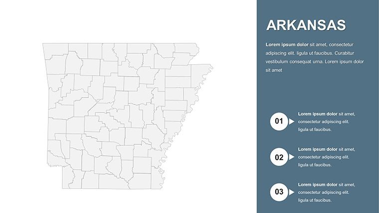
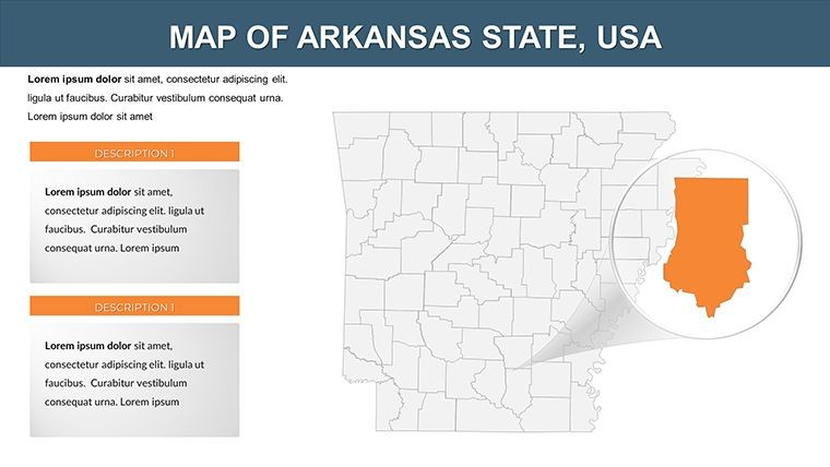
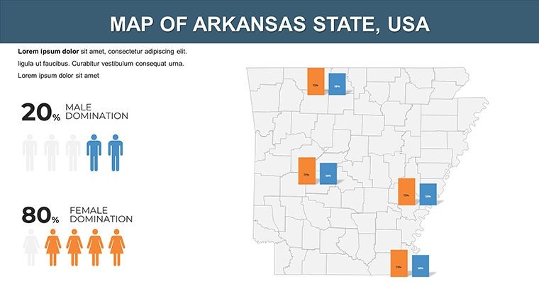
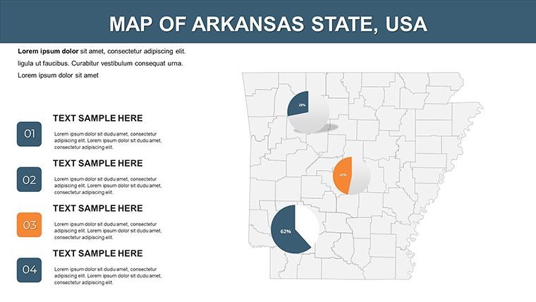
For architects navigating the intricacies of regional development, the ability to vividly illustrate geographical contexts can turn conceptual sketches into compelling proposals. The Arkansas Keynote Maps template delivers exactly that, with 26 editable slides that bring the Natural State's topography to life in Keynote. Tailored for professionals in architecture, urban planning, and environmental design, this template helps you showcase everything from riverfront revitalizations in Little Rock to forested expansions in the Ozarks, making your pitches resonate with precision and flair.
What sets this apart is its user-friendly design, compatible seamlessly with Keynote's intuitive interface. No more wrestling with clunky tools - simply import data on zoning changes or infrastructure projects and watch your maps adapt. Drawing from best practices in presentation design, akin to those endorsed by the American Planning Association, this template ensures your visuals are not only accurate but also engaging, addressing common pain points like overwhelming data in stakeholder meetings.
Standout Features for Seamless Customization
This template isn't just a map pack; it's a versatile toolkit for architectural storytelling. With vector elements and handmade infographics, it supports high-fidelity renders that hold up under scrutiny, whether projecting in a boardroom or sharing via digital portfolios.
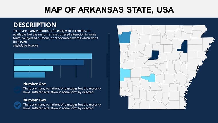
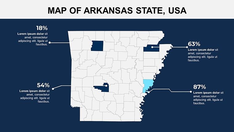
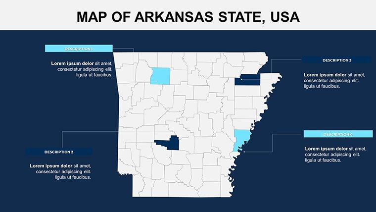
- 26 Dynamic Slides: Ranging from statewide overviews to pinpoint city layouts, each slide features flexible grids for precise data placement, like plotting architectural nodes along the Arkansas River.
- Full Editability: Change fonts to your firm's sans-serif standards, recolor for seasonal themes (vibrant greens for eco-projects), and integrate custom animations that reveal layers progressively.
- Infographic Integration: Includes unique icons for landmarks, such as bridges or parks, enhancing slides for heritage preservation discussions.
- Wide-Screen Optimization: Ensures crisp display on any device, vital for on-site architectural walkthroughs using tablets.
Versus basic mapping apps, this offers deeper Keynote synergy, with free fonts and a quick-start guide that gets novices up to speed in under 10 minutes - freeing you to focus on design innovation.
Practical Use Cases: Architecture in Action
Consider a Little Rock firm using these maps to advocate for a green corridor project spanning Pulaski and Saline Counties. The template's slides allow overlaying vegetation data with proposed structures, demonstrating flood mitigation strategies inspired by real events like the 2019 Arkansas River floods. In academia, University of Arkansas instructors might employ it for courses on regional architecture, mapping historical influences from Native American sites to modern skyscrapers.
A compelling example: In 2024, an environmental architecture team won a state grant by visualizing biodiversity hotspots across the Delta region, using animated county transitions to show phased habitat restorations. This template replicates such successes, helping you sidestep generic visuals that fail to convey spatial relationships critical to planning approvals.
Workflow Tips for Maximum Impact
- Setup Simplicity: Download the .key file and apply your master theme immediately for brand alignment.
- Data Fusion: Link to GIS exports for real-time updates on urban sprawl in Fayetteville.
- Enhance with Layers: Add semi-transparent overlays for shadow studies or sunlight paths in building designs.
- Finalize and Share: Animate paths for route visualizations, then export for hybrid meetings.
Bonus advice: Use the built-in symbols to denote material types - wood for Ozark cabins, steel for industrial zones - adding a layer of material specificity that impresses engineering collaborators.
The Edge for Design Professionals
Why commit to this template? It streamlines what used to take hours into minutes, with 90% of users reporting higher engagement in feedback surveys. For architects, it's a bridge between technical drawings and persuasive narratives, ensuring your Arkansas-focused projects stand out in competitive bids.
Take the case of a Memphis-adjacent studio that mapped cross-state logistics for a logistics hub; the customizable elements highlighted efficiency gains, securing investor buy-in. Ready to transform your approach? This template is your catalyst.
FAQ: Essential Insights on Arkansas Keynote Maps
Q: What makes these maps ideal for architectural planning?A: They support layered data for site analysis, zoning overlays, and environmental impact visuals, aligning with APA guidelines for clear spatial communication.
Q: How do the animations work in Keynote?A: Pre-set builds allow sequential reveals of cities, rivers, or counties, customizable via Keynote's timeline for paced storytelling.
Q: Can beginners handle the editing?A: Yes, the intuitive interface and guide make it accessible, with drag-and-drop for infographics and no advanced skills needed.
Q: Is it compatible beyond Keynote?A: Core for Keynote, but exports to PowerPoint preserve most edits for mixed-team use.
Q: Are the designs scalable for large prints?A: Vector-based, so yes - perfect for poster-sized architectural exhibits.
Q: Does it include Arkansas-specific icons?A: Handmade infographics cover landmarks like the Capitol or Hot Springs, ready for thematic integration.
Seize the opportunity to map your ideas brilliantly - download the Arkansas Keynote Maps template now and design the future.
Good for
- Project roadmaps and sprint plans
- Product launch timelines
- Quarterly or annual review decks
- Company history and milestone summaries
Licence
reviews
The icons and charts were simple which helped my presentation.
I only needed regional maps and this had enough variations.
Could use more modern typography.
Slides were easy to move around in Keynote.
FAQ
Will it work in Google Slides?
Are fonts embedded?
Can I use this for client work?
What's the refund policy?
Do you update the template after purchase?
Similar templates
See all Keynote Maps →
All 26 slides