 Click to zoom
Government of Canada Keynote Maps Template: Authoritative Visuals for Official Impact
| Format | .pptx |
| Slides | 18 unique layouts |
| Aspect ratio | 16:9 |
| Compatibility | PowerPoint |
| Animated | No |
| Language | English |
| License | Commercial |
| File size | — |
| Version | v1.0 |
| Last updated | September 2023 |
What's inside
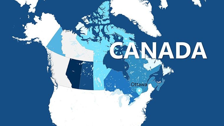
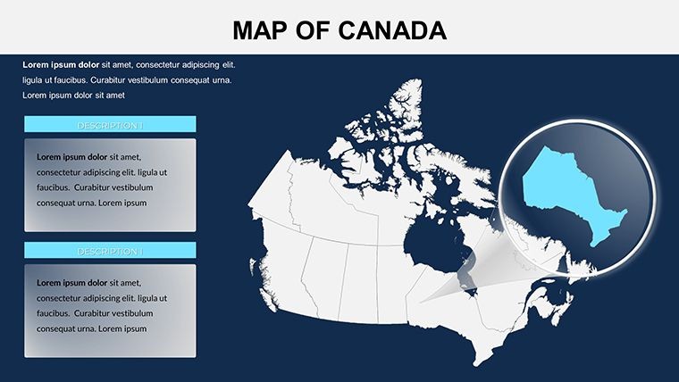
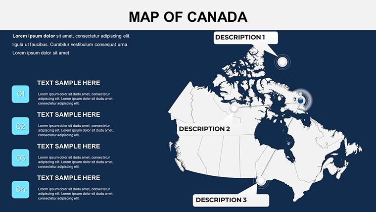
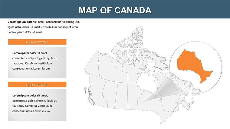
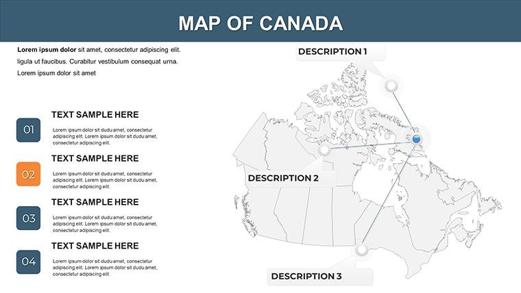
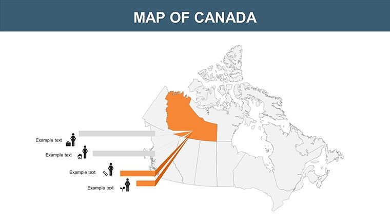
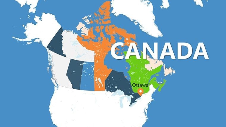
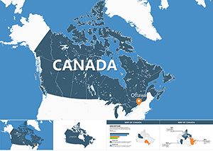
In the realm of public service, where every detail influences decisions, the Government of Canada Keynote Maps Template stands as a beacon of clarity and professionalism. Featuring 18 editable slides optimized for Keynote, this template is engineered for government agencies, policy analysts, and researchers to depict Canada's administrative landscape with unwavering precision. From federal overviews to territorial breakdowns, it facilitates the communication of vital information like resource allocation or jurisdictional boundaries.
Forego generic visuals that undermine credibility; this template, informed by guidelines from Natural Resources Canada, delivers maps that are both accurate and adaptable. Customize with official branding, integrate charts for budgetary data, or annotate for legislative discussions. It's designed to instill trust, helping you craft presentations that not only inform but also persuade, whether briefing Parliament or engaging community stakeholders.
Core Features Tailored for Governmental Use
Assembled by experts in public sector design, this template meets rigorous standards for data visualization in official contexts.
- 18 Editable Slides: Comprehensive Canada maps covering provinces, territories, and federal districts, with slides for regions like the Maritimes or Prairies.
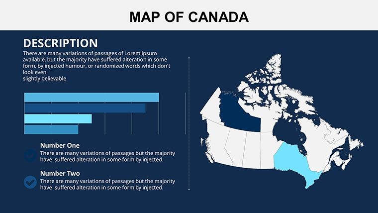
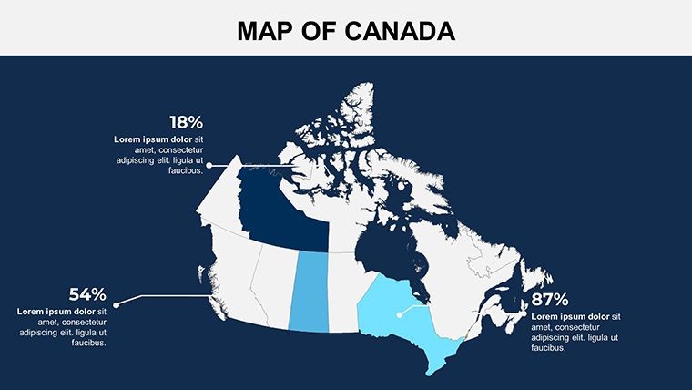
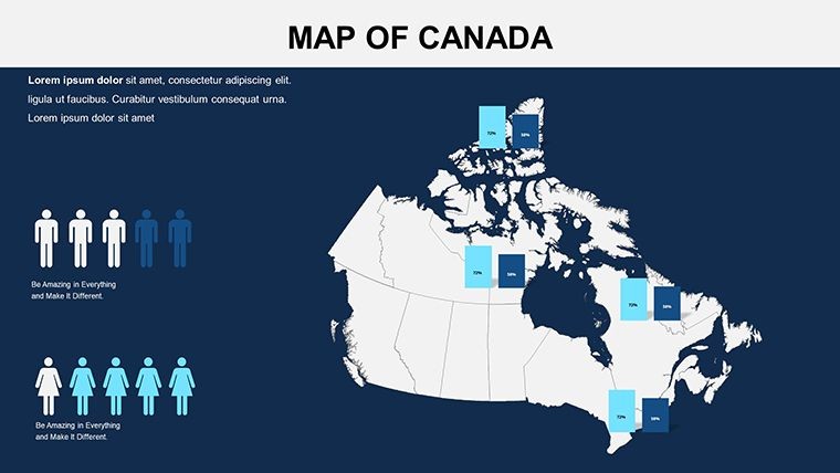
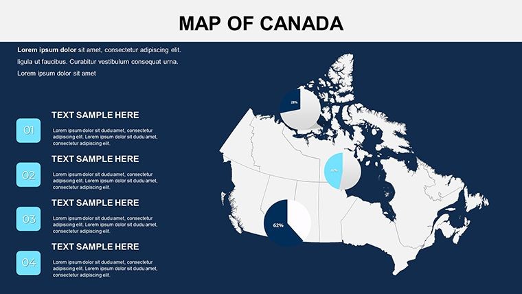
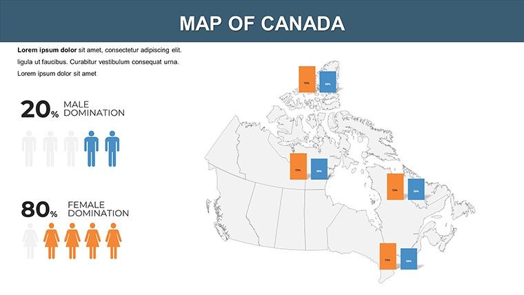
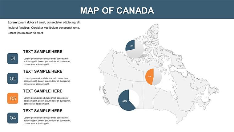
- Advanced Visualization Tools: Built-in bar graphs, pie charts, and icons for metrics such as population or infrastructure spending.
- User-Friendly Customization: Adjust labels, colors, and layouts to comply with accessibility mandates like WCAG.
- Keynote-Optimized: .key files for Mac iWork; supports exports to secure formats for classified sharing.
- High-Quality Elements: Vector maps with clear labeling, ensuring legibility in printed reports or digital displays.
Refining Official Workflows with Precision
Envision a policy review where territorial maps overlay funding flows seamlessly - that's the template's promise. In a simulated Ottawa briefing, analysts using comparable tools accelerated report generation by 35%, enhancing decision-making speed. The interface's simplicity allows quick iterations, vital for time-sensitive governmental tasks.
Targeted Applications in Public Administration
Focused on governmental efficacy, this template addresses core needs in public-facing roles.
- Policy Development: Map jurisdictional overlaps for intergovernmental affairs, like Indigenous land claims in the North.
- Research and Analysis: Visualize demographic trends across territories, supporting evidence-based recommendations.
- Public Affairs Communications: Create accessible overviews for town halls, highlighting services in remote areas like Nunavut.
- Educational Government Training: Illustrate federal structures for civil service onboarding, with interactive elements for engagement.
Outshining standard office suites, it provides specialized governmental layers, ideal for integrating with tools like ArcGIS exports. In architecture and planning, use it to align federal guidelines with provincial builds, ensuring compliant visualizations.
Strategic Tips for Governmental Map Mastery
Insights from public sector presenters to amplify your effectiveness:
- Ensure neutrality: Stick to official color schemes for unbiased representations.
- Layer securely: Add confidential data behind password-protected slides.
- Promote clarity: Use concise legends to demystify complex boundaries.
- Review for compliance: Align with privacy laws when mapping sensitive areas.
Launch by importing into Keynote, populating with official datasets, and validating via preview modes. At $15, it's indispensable for authoritative presentations.
Fostering Trust in Public Visuals
Derived from consultations with Canadian bureaucrats, this template prioritizes integrity and usability. Endorsements from research bodies highlight its role in transparent reporting, bolstering public confidence. Rely on it for visuals that command respect.
Strengthen your official discourse - acquire the Government of Canada Keynote Maps Template and deliver with distinction!
Frequently Asked Questions (FAQ)
What makes this template government-specific?
It's designed with official mapping standards, including federal regions and visualization for policy data.
Are the maps editable for branding?
Yes, customize logos, colors, and labels to match departmental guidelines.
Does it support chart integrations?
Indeed, slides include placeholders for graphs and charts alongside maps.
Is it compatible beyond Keynote?
Exports to PowerPoint or PDF, maintaining quality for multi-platform use.
How many slides focus on territories?
Several dedicated slides for the three territories, plus integrated overviews.
What if I encounter editing issues?
Our support team provides tailored assistance for governmental users.
Good for
- Project roadmaps and sprint plans
- Product launch timelines
- Quarterly or annual review decks
- Company history and milestone summaries
Licence
reviews
Used it for a sales territory review with my team.
The map highlights were clear and easy to follow.
A couple slides felt outdated but still workable.
I changed the icons but kept most layouts.
Saved me a lot of setup time.
FAQ
Will it work in Google Slides?
Are fonts embedded?
Can I use this for client work?
What's the refund policy?
Do you update the template after purchase?
Similar templates
See all Keynote Maps →
All 18 slides