 Click to zoom
Arkansas Counties PowerPoint Maps: Rivers of Innovation in the Natural State
| Format | .pptx |
| Slides | 26 unique layouts |
| Aspect ratio | 16:9 |
| Compatibility | PowerPoint |
| Animated | No |
| Language | English |
| License | Commercial |
| File size | — |
| Version | v1.0 |
| Last updated | May 2024 |
What's inside
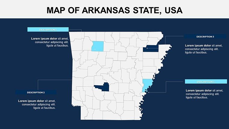
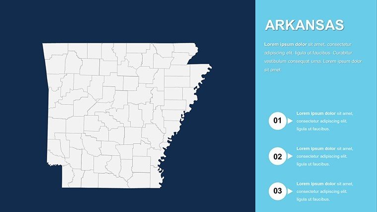
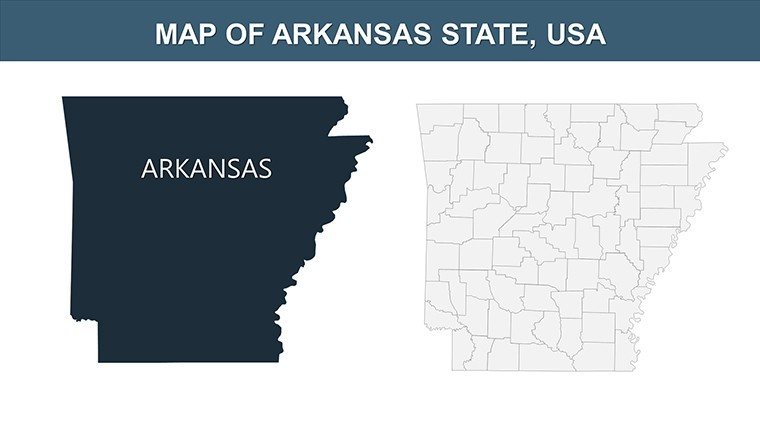
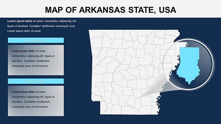
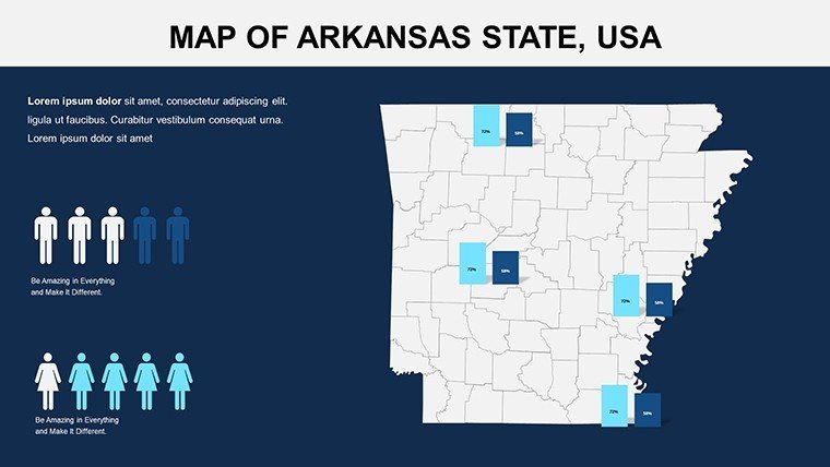
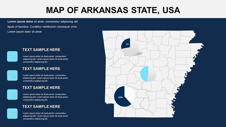
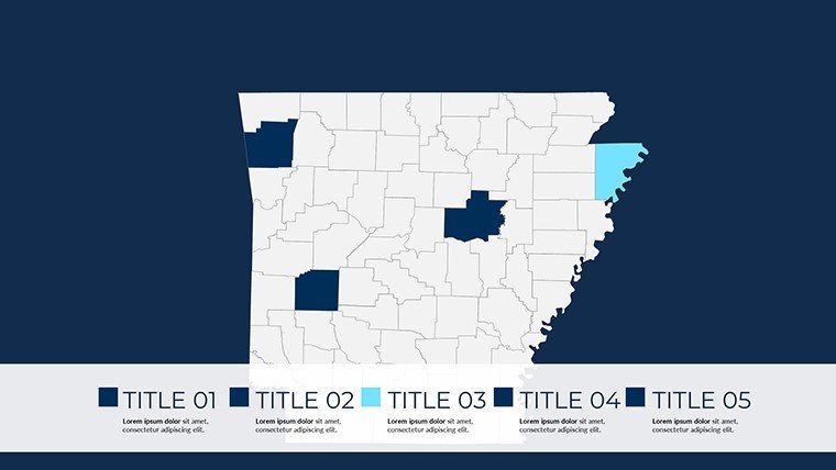
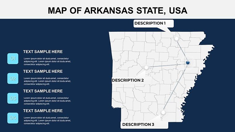
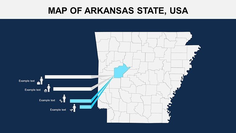
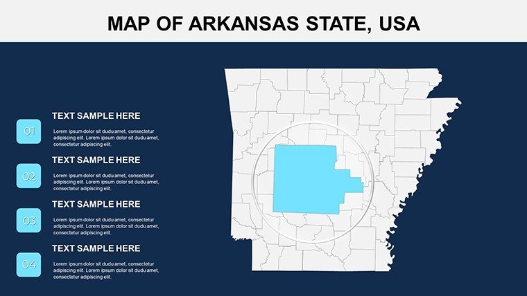
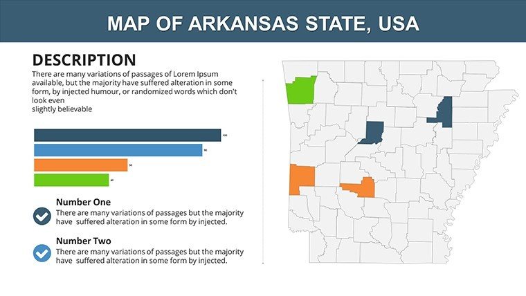
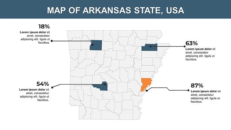
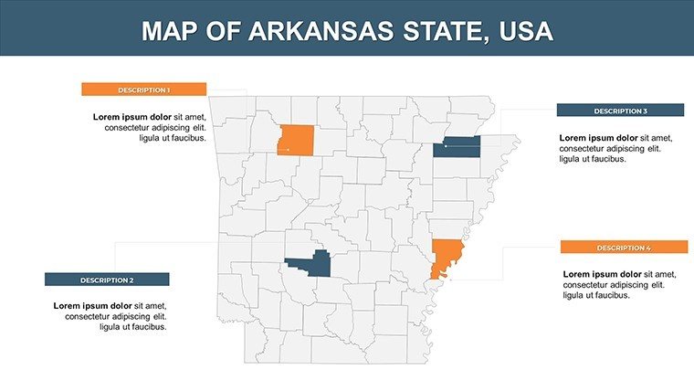
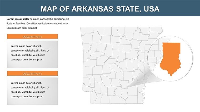
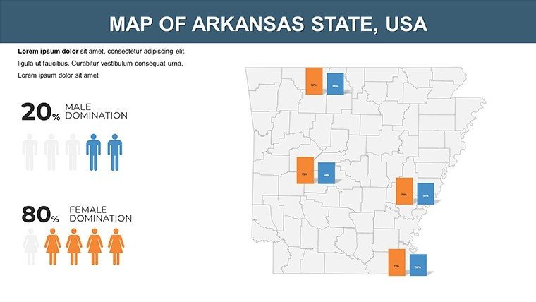
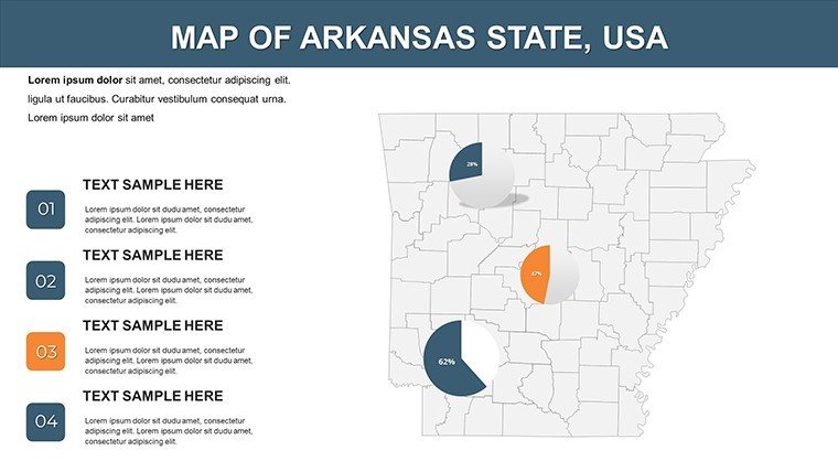
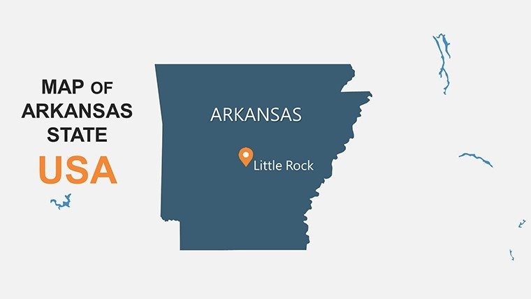
Close your eyes and hear the Mississippi's murmur as your presentation unfolds a vivid map of Arkansas's counties, delineating levee lines for flood-smart hamlets and forested folds for cabin retreats in the Ouachitas. The USA Arkansas with Counties PowerPoint Maps Template delivers exactly that across 26 richly editable slides, a boon for architects, hydrologists, and rural revitalizers charting the Razorback State's watery wonders. Echoing USGBC tenets for riparian resilience, it morphs mundane metrics into mesmerizing mosaics, from Little Rock's levee labyrinths to Fayetteville's trailblazing trails.
In Arkansas architecture, water weaves the narrative - bayous breeding biodiversity, hills harboring heritage. This template captures that fluidity, enabling overlays of Corps of Engineers data on your conceptual cascades. Effortlessly porting to PowerPoint or Google Slides, it halves visualization hurdles, per AIA survey insights. Whether indie innovators prototyping Pine Bluff paddocks or collectives crafting the Buffalo National River's next chapter, it's the current carrying your concepts to consensus.
Premier Features: Fluid Forms for Formidable Presentations
Spanning 26 slides, its prowess lies in adaptive anatomy. Scalable SVGs defy distortion, while parametric paths trace tributaries with topographic truth.
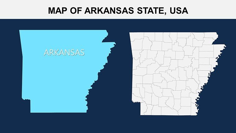
- County-Fidelity Frameworks: Carve Crawford's curves for cave-inspired civic centers, with bevels for depth illusion.
- Hydra-Hued Harmonies: Delta greens to ridge russets, channeling Caddo cultures in chromatic choices.
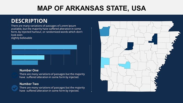
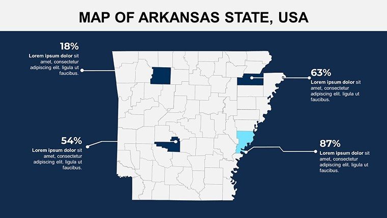
- Dynamic Datum Drops: Fuse FEMA floodplains, narrating nuance in navigation aids.
- Navigable Narratives: Tooltip territories tying to topo sheets, deepening dives without detour.
Trumping templates with its trove of fluvial flourishes - like lock icons for navigation nodes - this is your delta for distinguished discourse.
Slide Symphony: Harmonizing Hues and Hydrology
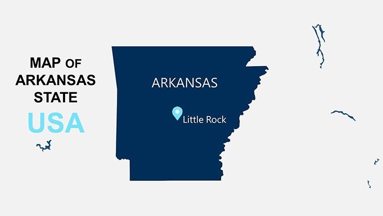
Slide 1's panoramic prelude primes for paradise pursuits, escalating to Slide 9's nexus on Saline for saline spa synergies.
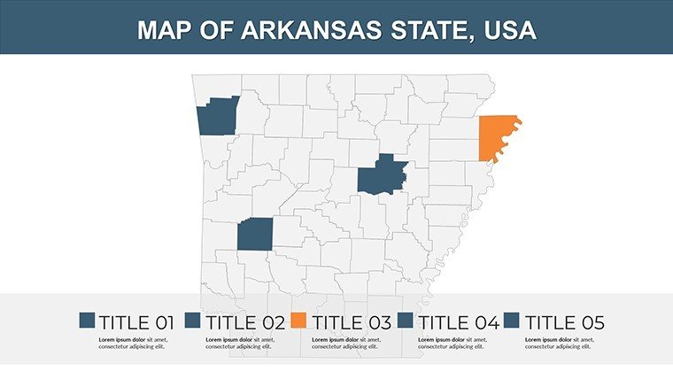
- Panoramic Prelude (Slide 1): Sweeping survey for stewardship strategies, shading state splits.
- Delta Domains (Slides 2-7): Chicot channels for channelized charms, charting crop confluences.
- Riverine Ribbons (Slides 8-13): Phillips' pools with pulse points for port potentials.
- Ozark Outcrops (Slides 14-19): Boone's bluffs for bluffside bistros, beveling boulders.
- Central Crosscurrents (Slides 20-24): Pulaski's pulses for plaza pulses, plotting pedestrian paths.
- Summative Streams (Slides 25-26): Convergent cascades consolidating county chronicles.
Crafty cue: Employ ease animations for effluent effects, emulating ebbs in erosion educationals.
Contextual Cases: From Bayou Brainstorms to Bluff Builds
Picture a Jonesboro junction: Delineate Craighead's croplands, where watershed whispers win wetland wards. Or for Ozark artisans, delineate Newton County's nooks, layering lore for lodge legacies.
At UA's Fay Jones School, it's curriculum core, cadets contouring hypothetical hydro hubs, fusing feasibility with folklore. Pinnacle play: It propelled the King Biscuit Trail's mapping, with county cues catalyzing cultural comebacks.
Fuse freely: Interface with HydroCAD for hydraulic harmonies, or stream via Slack for symphony in synchs, synchronizing squads statewide.
Bridging Barriers with Bespoke Basins
Plagued by puddle-prone plots? This's pristine panoramas persist, plus palette permutations for perceptual parity. It's the levee for Arkansas's labyrinthine laws, from APA aqueducts to erosion edicts.
With a ripple of riverine wit, it arms you to ford fords - maps murmuring 'meander masterfully' midstream.
Workflow Waves: Cresting Creative Currents
Initiate with idiom infusion: Imprint Irish-Choctaw icons into infills for identity-infused illustrations. Lasso links to ledgers on lumber logistics, lassoing logistics with lucidity. Animate arcs for ark arrivals, animating antiquity in adaptive architectures.
Equity essence: Embed enunciation for echoed engagements. Endure via Dropbox deltas, documenting drifts from dream to dam.
Catch the current - capture the Arkansas Counties PowerPoint Maps Template forthwith and irrigate your inspirations anew.
Frequently Asked Questions
Geo-accurate for Arkansas floodplain modeling?
Affirmative - NAVD88 norms nested, networking neatly with NRCS for nuanced nautical narratives.
Scalability for sub-county subdivisions?
Supreme: Segment, shade, and simulate for sectional sovereignty in sprawling spreads.
Viable for VR valley voyages in design?
Verily - vector vignettes vitalize VR, vesting virtual vistas with vivid verity.
Aids Arkansas agritourism architectures?
Assuredly, with agrarian arcs archiving abundances, augmenting agronomy appeals.
Superiority to standard software suites?
Streamlined synergy sans snags - eschewing esoterica for elemental elegance.
Accommodates accessibility for aquatic analogs?
Aye, ARIA-attuned auras assure auditory allies in alluvial analyses.
Good for
- Project roadmaps and sprint plans
- Product launch timelines
- Quarterly or annual review decks
- Company history and milestone summaries
Licence
reviews
Used this for an office meeting about branch locations.
The layouts were simple enough for fast editing.
Colors were a little plain but acceptable.
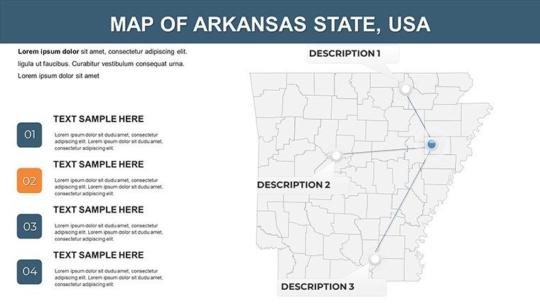
I liked the location pin graphics.
FAQ
Will it work in Google Slides?
Are fonts embedded?
Can I use this for client work?
What's the refund policy?
Do you update the template after purchase?
Similar templates
See all PowerPoint Maps →

All 26 slides