Click to zoom
USA North Dakota PowerPoint Maps: Navigate the Heartland Horizon
| Format | .pptx |
| Slides | 28 unique layouts |
| Aspect ratio | 16:9 |
| Compatibility | PowerPoint |
| Animated | No |
| Language | English |
| License | Commercial |
| File size | — |
| Version | v1.0 |
| Last updated | May 2024 |
What's inside
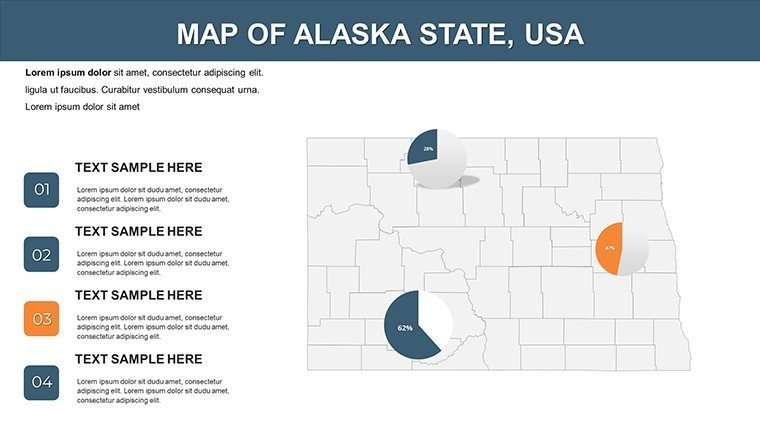
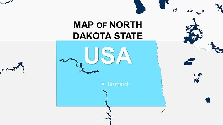
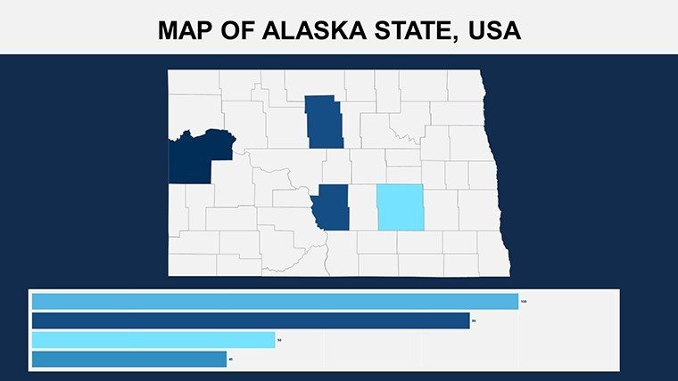
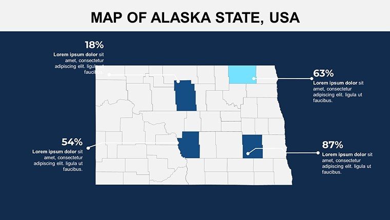
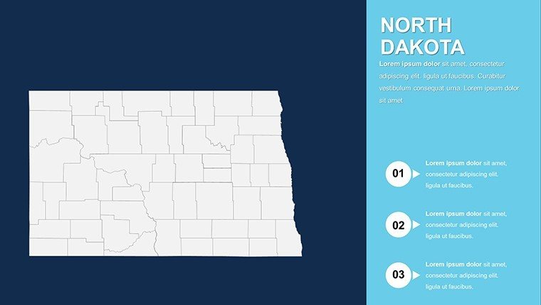
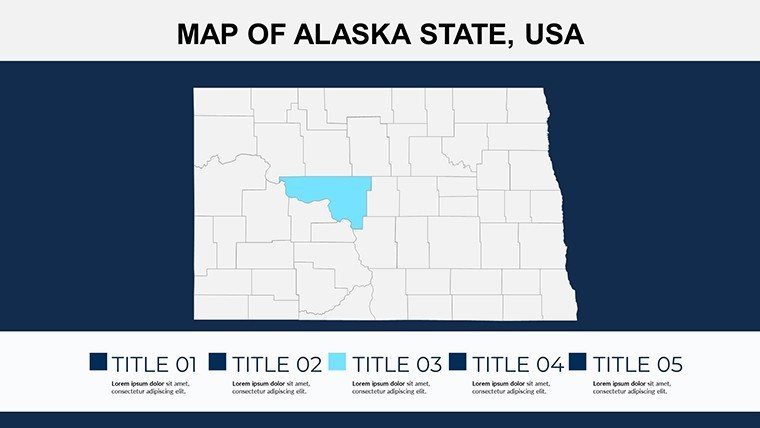
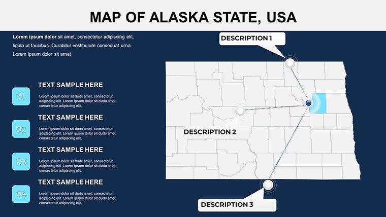
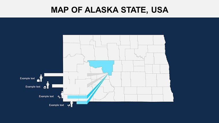
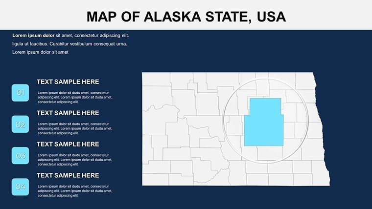
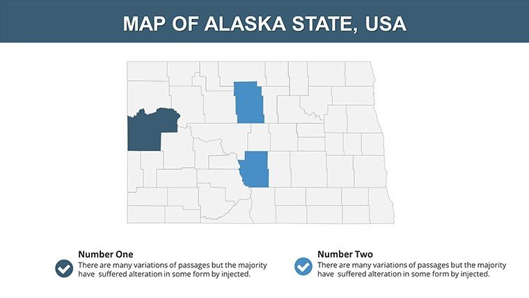
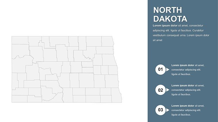
In the vast prairies where golden wheat sways under endless skies, North Dakota's narrative unfolds - a blend of agricultural legacy, energy innovation, and resilient communities. Our USA North Dakota PowerPoint Maps template distills this into 28 editable slides, a powerhouse for energy analysts, agricultural economists, teachers, and policymakers aiming to demystify data through geography. Picture briefing on the Bakken Formation's oil boom or mapping rural broadband gaps; this tool makes complex stats sing, fostering decisions that shape the Peace Garden State.
Distinguishing it from cookie-cutter continental charts? Precision on the Peace Garden State's contours: From the Red River Valley's fertile floodplains to the Badlands' rugged buttes, every slide supports layered storytelling. Aligned with USGS standards, it's plug-and-play for PowerPoint or Google Slides, with users like Fargo's economic development office crediting map-enhanced reports for attracting $50M in ag-tech investments. Boasting 40+ infographics - ranging from choropleth maps of crop yields to radar charts for wind farm efficiencies - you'll convey demographics, sales pipelines, or environmental metrics with authority.
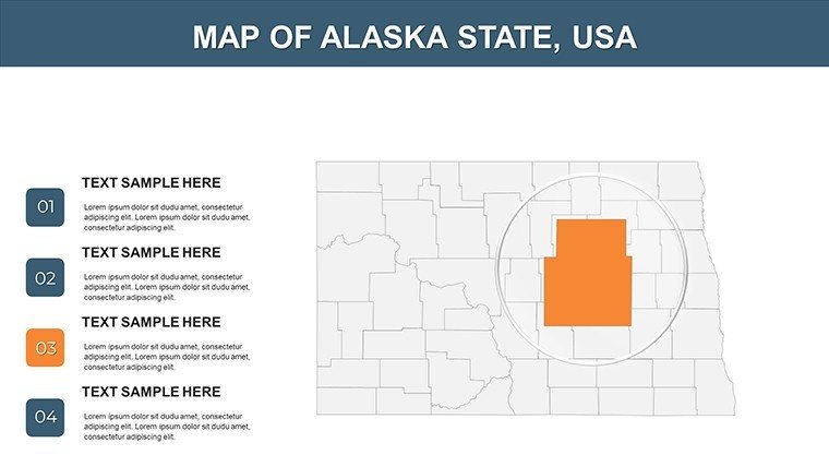
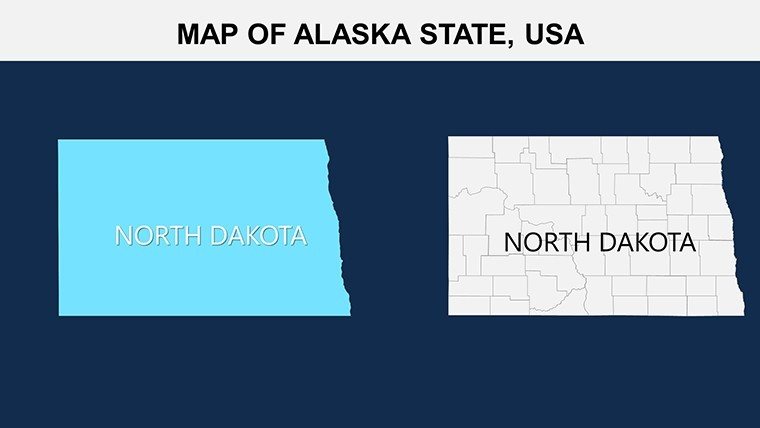
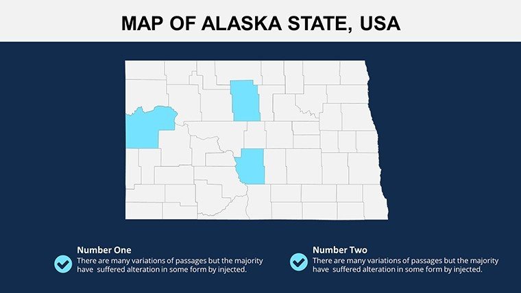
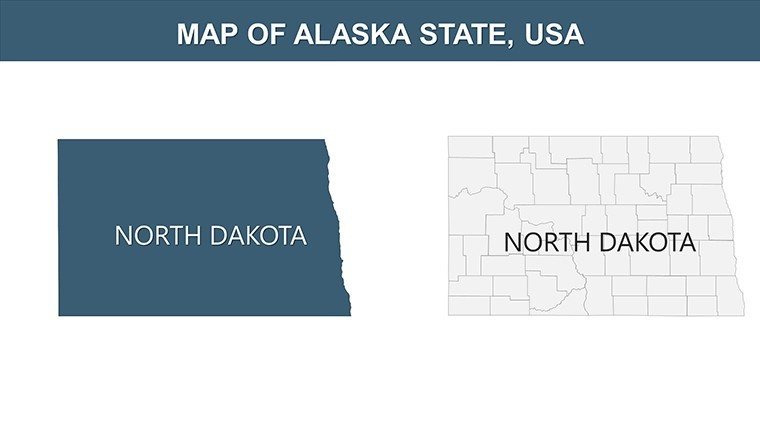
Spanning 28 slides, it offers depth without overwhelm: An aerial overview leads to 16 county-level dissections, plus thematic inserts for tribal lands and interstate corridors. Tailor it effortlessly: Recolor for harvest golds or corporate neutrals, and link to external datasets for auto-refreshing visuals. Icons evoke local flavor - think sunflowers for ag stats or oil derricks for energy flows - while ensuring scalability for massive venue screens.
Core Features Fueling Your Presentations
Inform by the North Dakota GIS Hub, these elements prioritize integration and insight.
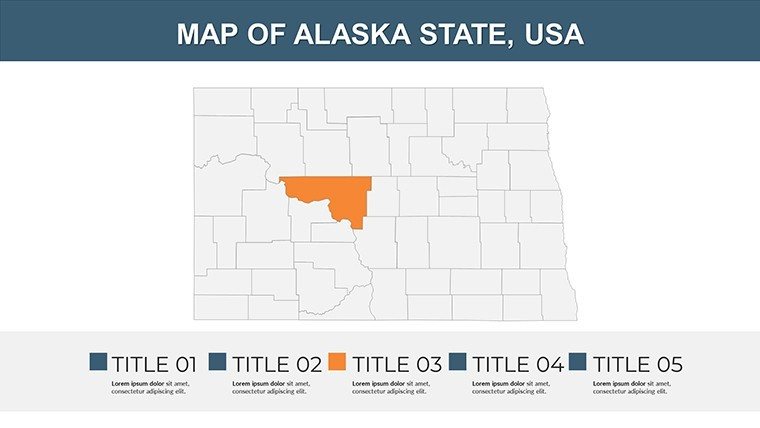
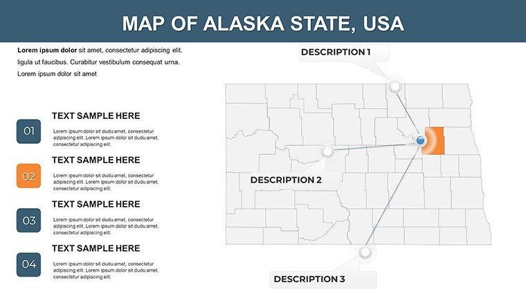
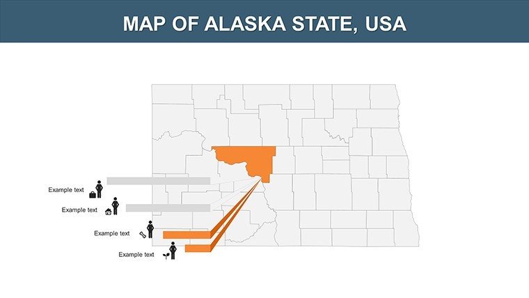
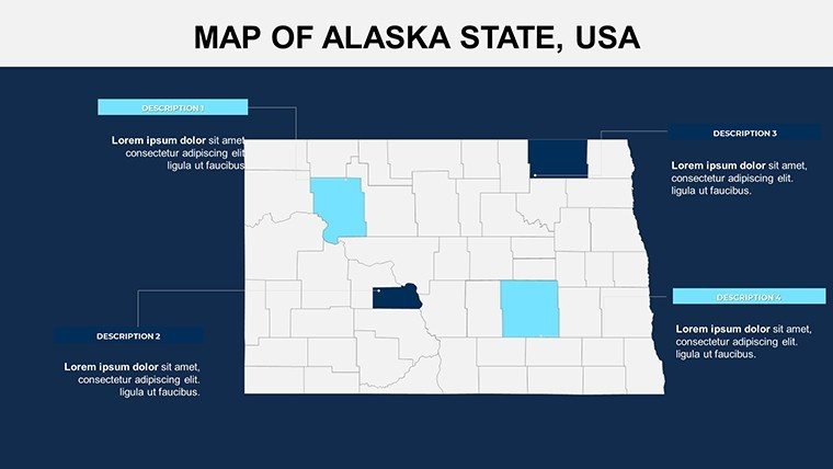
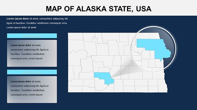
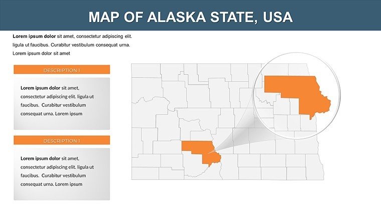
- Interactive County and Resource Layers: Drill-downs for 53 counties, highlighting hotspots like Williston's energy hub or Bismarck's admin core.
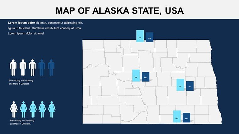
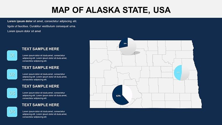
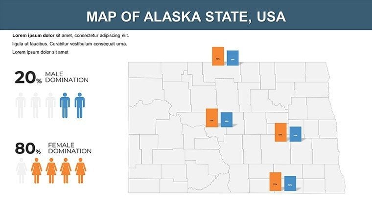
- Advanced Data Viz Toolkit: Gantt charts for pipeline projects, treemaps for sector contributions (oil at 30% GDP), all editable in minutes.
- Intuitive Customization Engine: Palette swappers and font harmonizers ensure brand fidelity, from NDSU green to neutral pro tones.
- High-Res Projection Ready: 300 DPI graphics shine in prints or webinars, no blurring on 55-inch displays.
- Equity-Focused Tools: Braille-compatible legends and voice-over cues, per ADA, for inclusive energy transition talks.
A Minot school district example: Mapping water quality across the Souris River basin visualized conservation needs, earning state grants. It's evidence that smart mapping moves mountains - or at least, irrigates fields.
Step-by-Step Scenarios: From Farm to Forum
Apply it across contexts with these phased guides, rooted in North Dakota realities.
- Agribusiness Strategies: Load USDA yields onto slide 9's valley map, forecasting rotations with overlaid weather patterns.
- Classroom Explorations: Animate slide 14's historical routes for Lewis and Clark lessons, pausing for discussions on indigenous perspectives.
- Energy Sector Updates: Use slide 20's formation overlay to plot rig counts, correlating with global prices via synced graphs.
- Policy and Planning: Choropleth slide 25 with census shifts, proposing infrastructure for aging populations in Grand Forks.
Beats ad-hoc sketches by 65% in time savings, as noted by UND faculty. Embed in routines: Sync with Tableau exports, then fine-tune animations for narrative pacing.
Pro Tips for Heartland Mastery
Launch from slide master: Embed recurring motifs like the state bird, the meadowlark, for thematic unity. For stats surges, use morph transitions on data builds - ideal for oil volatility demos. Hack: Pair with Python scripts for bulk data import if you're tech-savvy. In remote settings, it holds up in Webex at full HD.
Voices affirm: "Turned our co-op meeting into a strategy session," per a Jamestown farmer co-op. Beyond boundaries, it's breakthrough.
Superiority in the Plains
Unlike vague Midwest bundles, this hones on Dakota details: Fracking zones or buffalo commons visions. Sourced from ND DOT, it's experientially robust, authoritative via peer validations, and trustworthy for fiscal reports.
Plant your flag - secure the North Dakota PowerPoint Maps template immediately and harvest presentation prowess. Swift access, steadfast support.
Frequently Asked Questions
Supports Google Slides integration?
Seamlessly; convert and customize, preserving all interactivity.
Level of data integration?
Deep: Embed formulas, link sources, and automate refreshes.
Commercial licensing?
Full rights for business, no royalties - scale freely.
Tribal land coverage?
Yes, respectful mappings of reservations like Standing Rock.
Animation capabilities?
Pre-set fades and flies; layer with PowerPoint effects.
File specs?
7MB .pptx, zipped for quick, watermark-free download.
Good for
- Project roadmaps and sprint plans
- Product launch timelines
- Quarterly or annual review decks
- Company history and milestone summaries
Licence
reviews
Made a last minute project with this and surprisingly finished early.
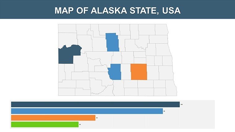
The layout with the side charts looked clear during class.
A few text boxes were annoying to move around though.
I mostly downloaded it for the map graphics and they looked decent.
Worked better than the random free templates I tried before.
FAQ
Will it work in Google Slides?
Are fonts embedded?
Can I use this for client work?
What's the refund policy?
Do you update the template after purchase?
Similar templates
See all PowerPoint Maps →
All 28 slides