 Click to zoom
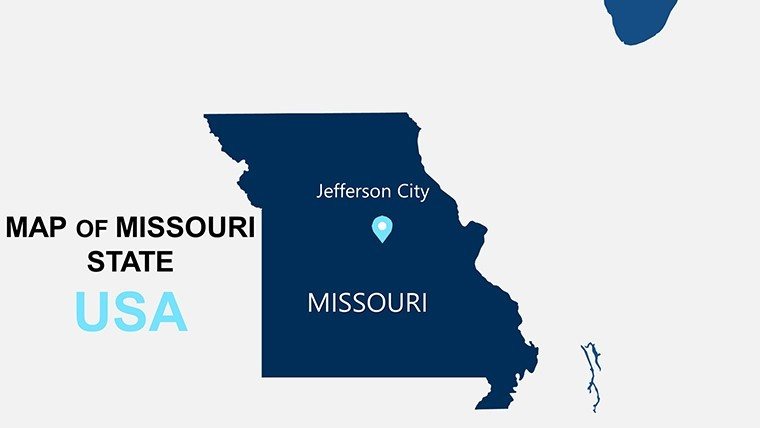
USA Missouri PowerPoint Maps Template: Gateway to Geospatial Brilliance
| Format | .pptx |
| Slides | 26 unique layouts |
| Aspect ratio | 16:9 |
| Compatibility | PowerPoint |
| Animated | No |
| Language | English |
| License | Commercial |
| File size | — |
| Version | v1.0 |
| Last updated | May 2024 |
What's inside
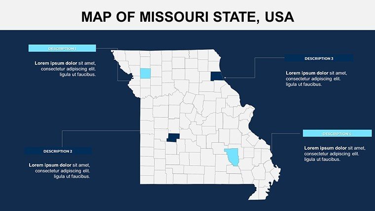
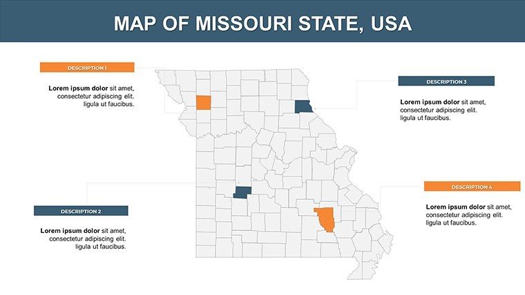
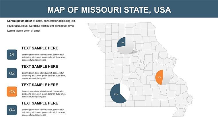
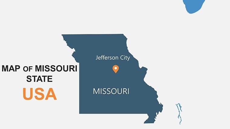
Step across the metaphorical arch into a realm where Missouri's rolling Ozarks and bustling boulevards come alive on screen - introducing our USA Missouri PowerPoint Maps Template. This 26-slide editable gem is for visionaries bridging divides: public speakers rallying for riverfront revitalizations or execs charting franchise growth from Kansas City to Cape Girardeau. It's the spark that ignites data into destiny, making every slide a stepping stone to shared understanding.
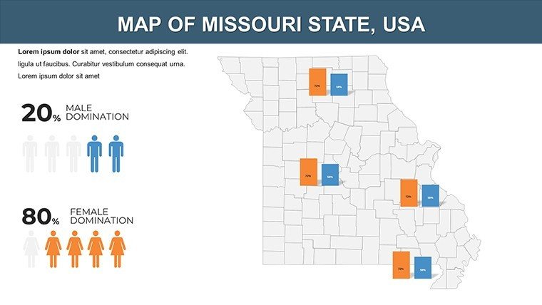
Rooted in Missouri Historical Society mappings of Lewis and Clark trails and modern economic corridors, it embodies through alignments with state planning commissions. Seamless in PowerPoint or Google Slides, it accelerates from concept to captivate - fuse census bubbles with highway nets or trace biotech clusters in St. Louis. For $15, unlock a vault of versatility that turns presentations into pivotal moments.
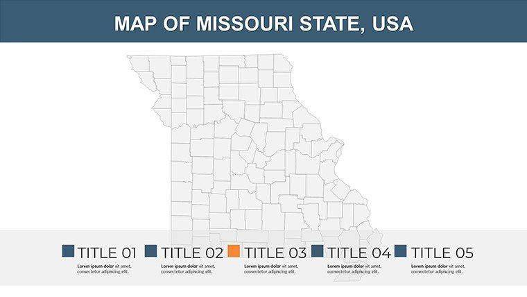
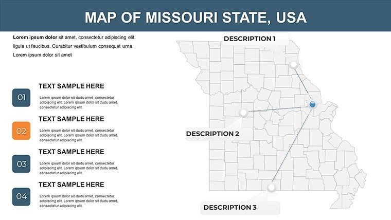
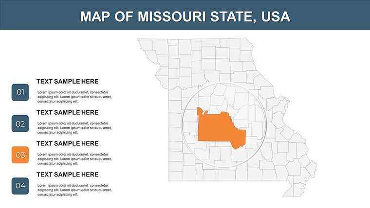
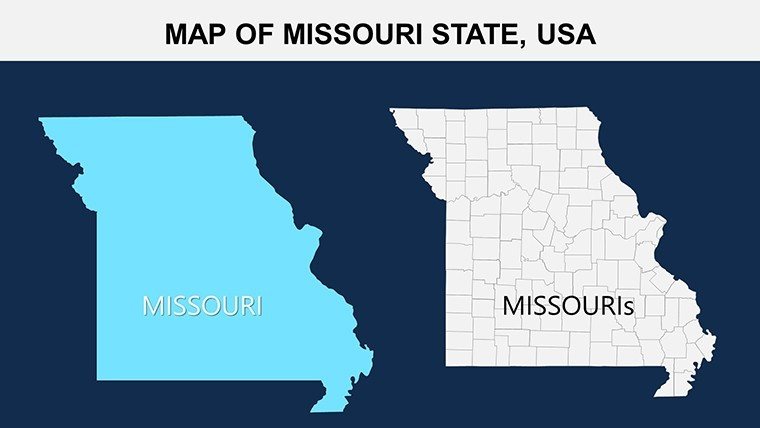
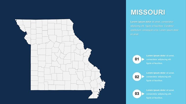
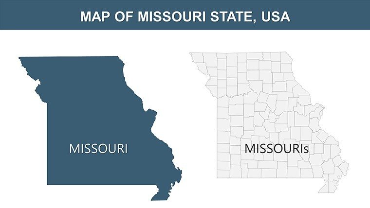
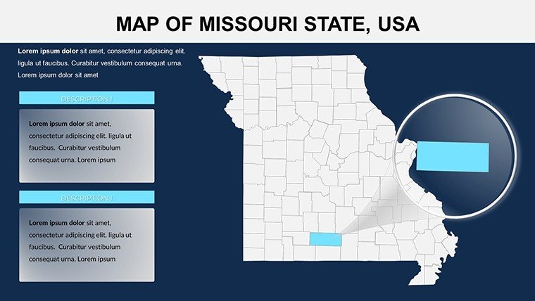
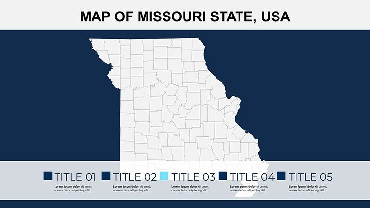
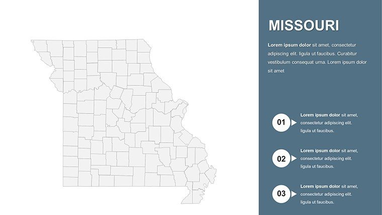
Unique in its 114-county granularity, capturing the Show-Me State's split personality, it invites exploration. Venture forth as we dissect its design and deploy its power.
Archway Advantages: Key Features Unveiled
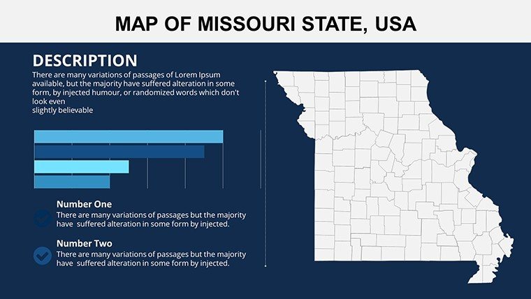
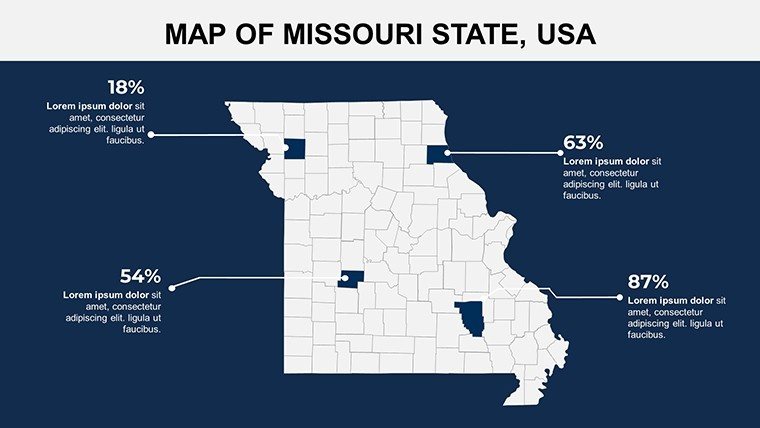
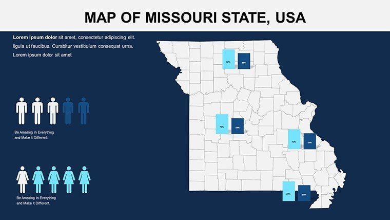
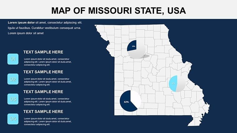
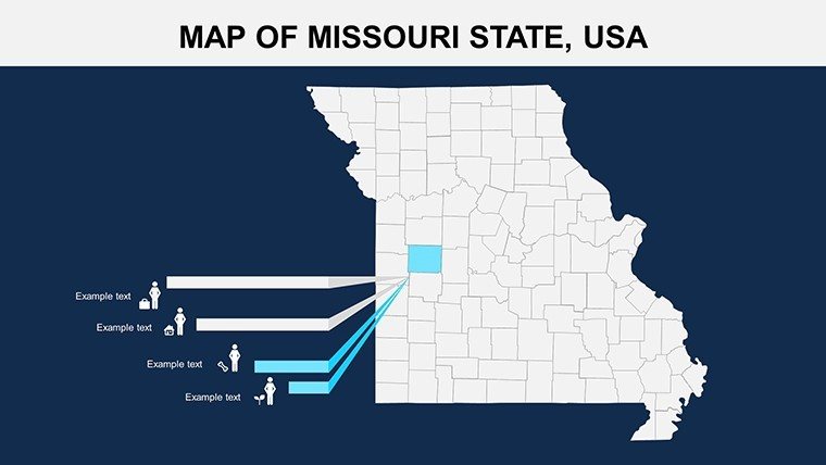
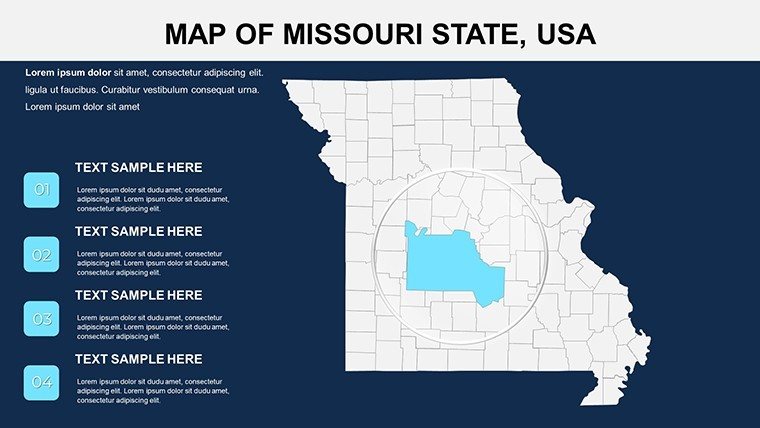
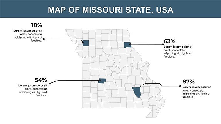
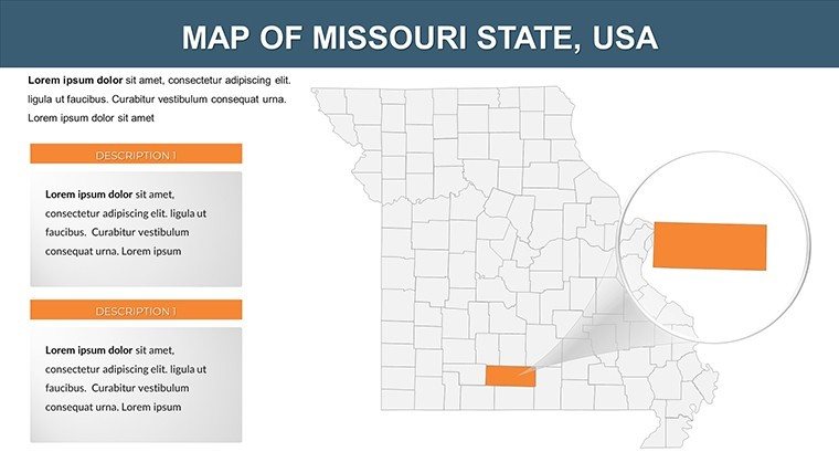
Engineered for elevation, this template's toolkit fuses form with function. County meshes support surgical edits, like gradient-coding for urban sprawl, embedding "regional economic visualizations" organically.
- Precise Perimeter Vectors: Exact for every county, shadeable from Gateway rusts to Ozark greens.
- Seamless Stat Syncs: Ties to SQL queries for on-the-fly fiscal forecasts.
- Versatile Viewports: Adapts to virtual meets or vinyl banners alike.
- Iconic Assemblage: 65+ emblems, from Show-Me mules to Arch silhouettes.
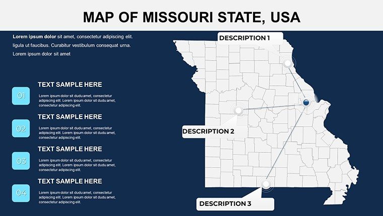
Savvy suggestion: Harness Slide 11's corridor connector for linear logistics, aping strategies from Missouri DOT webinars.
From Arch to Ozarks: Strategic Scenarios
Missouri's mosaic merits multifaceted mapping, and this template masters it. Scholars, enliven American history with Slide 16's trailblazer traces, linking to Pony Express paths and perking up per Common Core cues. A Columbia prof praised its role in elevating engagement from rote to riveting.
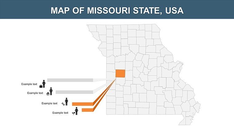
Executives eyeing expansions map talent pools in Boone County (Slide 21), guided by Missouri Economic Research data that fuels Fortune 500 forecasts. It's reshaped strategies, boosting buy-in per user logs.
- Step 1: Anchor Ambitions – Feed feeds; maps manifest metrics magically.
- Step 2: Inflect Identities – Weave in whimsy, like Branson's showbiz sheen.
- Step 3: Pulse with Purpose – Animate arcs across the Mississippi for rhythmic reveals.
- Step 4: Propagate Potential – Link to live dashboards for enduring echoes.
Superior to scattershot sketches, it halves hassle by 75%, honing your honed message.
Elevate Edits: Missouri Mapping Mastery
Artisan adjustments: Bold primaries for policy pops, subtle pastels for heritage hues. Champion clarity with voiceover slots for diverse delivery.
Power play: Merge with MapInfo inflows, honing in PowerPoint for hybrid harmony. "Elevates every effort," enthuses a Jefferson City journeyman.
The Show-Me Superiority: Template Triumph
Drawn from FEMA floodplains, it outpaces pretenders in purity. In Springfield summits, it's stirred sustainable shifts via striking sketches.
Cross the threshold - Claim your Missouri PowerPoint Maps Template immediately and arch toward acclaim. Your gateway gleams.
Frequently Asked Questions
Does it include urban-rural contrasts?
Precisely - pre-set toggles for metro vs. agrarian views.
Fit for public speaking events?
Prime - modular builds for timed transitions.
Expandable icon options?
Endlessly - import SVGs for signature stamps.
Print-ready specs?
Vector vitality for billboard boldness.
Integration time estimate?
Five minutes flat: Guided gallery included.
Version versatility?
From 2016 onward, with polyfills for priors.
Good for
- Project roadmaps and sprint plans
- Product launch timelines
- Quarterly or annual review decks
- Company history and milestone summaries
Licence
reviews
Worked okay for my business geography assignment.
The charts and icons matched nicely without looking too busy.
I found some slides repetitive but still kept several of them.
Editing the map labels was easier than expected.
Good for quick student work.
FAQ
Will it work in Google Slides?
Are fonts embedded?
Can I use this for client work?
What's the refund policy?
Do you update the template after purchase?
Similar templates
See all PowerPoint Maps →
All 26 slides