 Click to zoom
North Dakota Keynote Map Template: Precision Mapping for the Peace Garden State
| Format | .pptx |
| Slides | 28 unique layouts |
| Aspect ratio | 16:9 |
| Compatibility | PowerPoint |
| Animated | No |
| Language | English |
| License | Commercial |
| File size | — |
| Version | v1.0 |
| Last updated | December 2022 |
What's inside
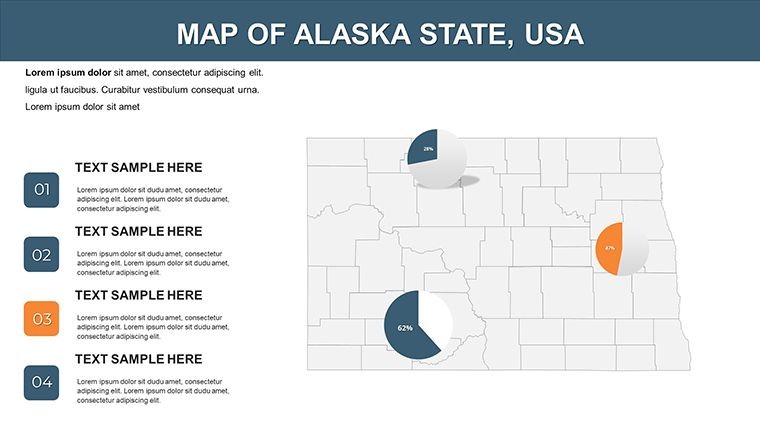
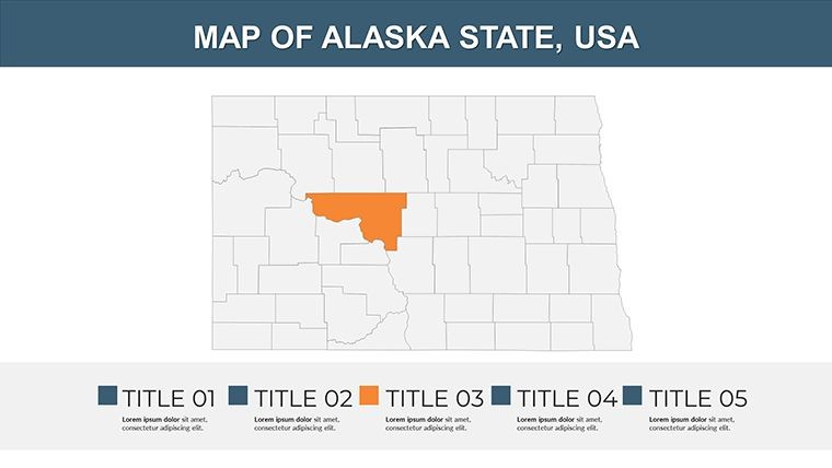
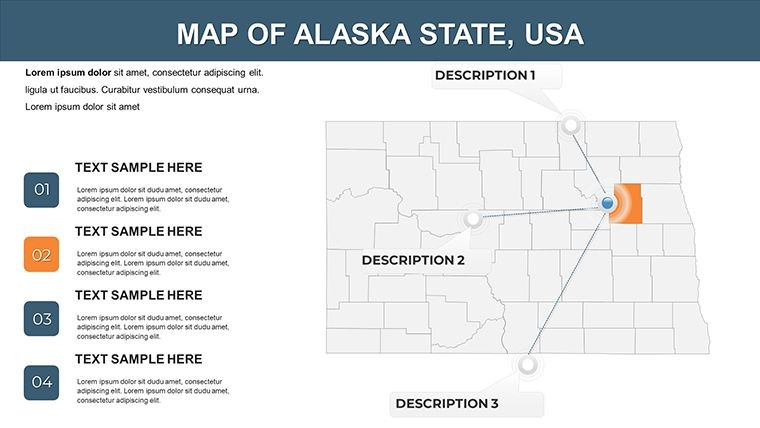
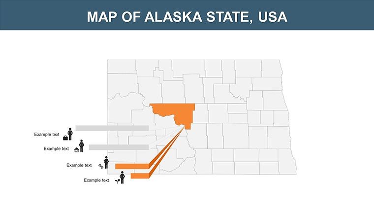
North Dakota's endless prairies, oil-rich Bakken Formation, and the serene Turtle Mountains paint a portrait of resilience and opportunity. As a north-central U.S. powerhouse in energy and agriculture, presenting its geography demands tools that match its scale. Our USA Maps Keynote Template for North Dakota delivers exactly that: 28 editable slides that let you sculpt data into stories with surgical precision. Optimized for Keynote, this template is your ally for dissecting borders with Minnesota, South Dakota, Montana, and Canada's Saskatchewan and Manitoba.
With PowerPoint compatibility via export, it's versatile for hybrid teams. On September 16, 2025, amid ND's renewable energy push, these maps are indispensable for forecasting wind farm layouts or tracing historical migrations. Move beyond bland diagrams - embrace vectors that breathe life into your slides.
Core Features Driving Customization Excellence
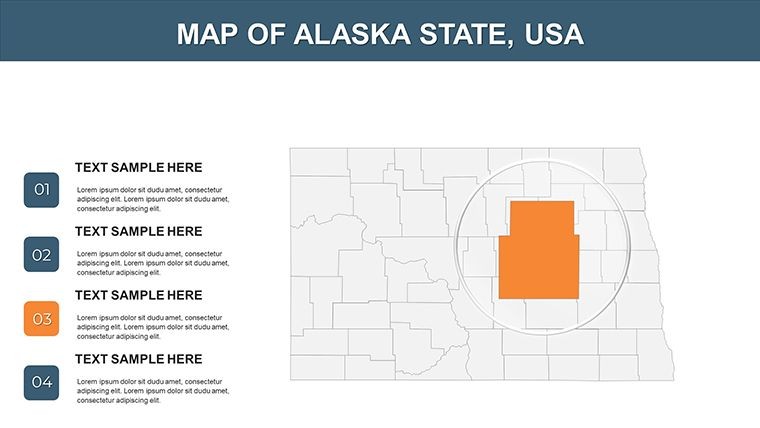
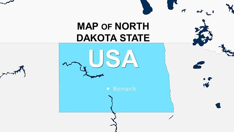
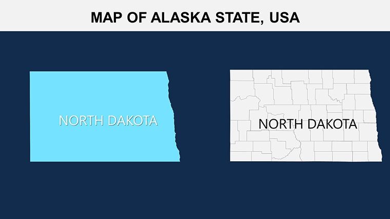
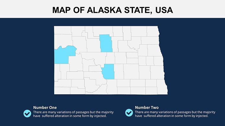
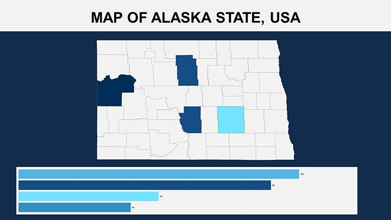
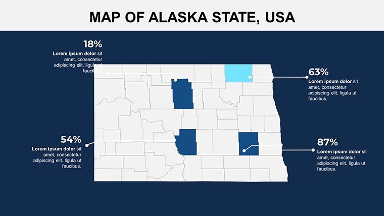
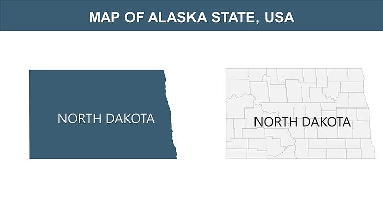
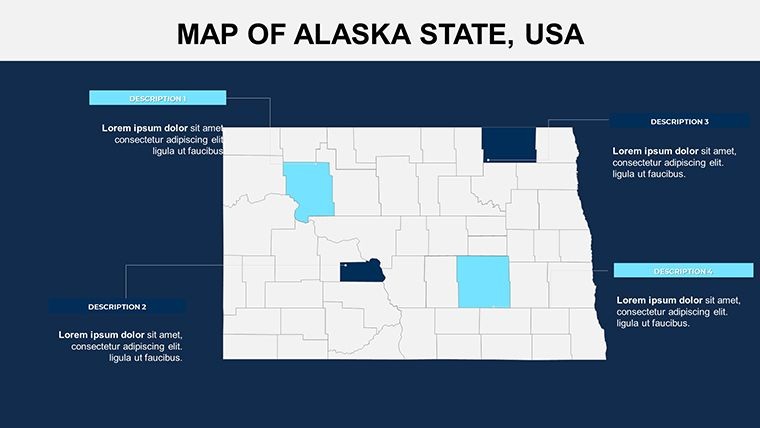
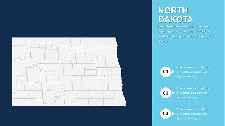
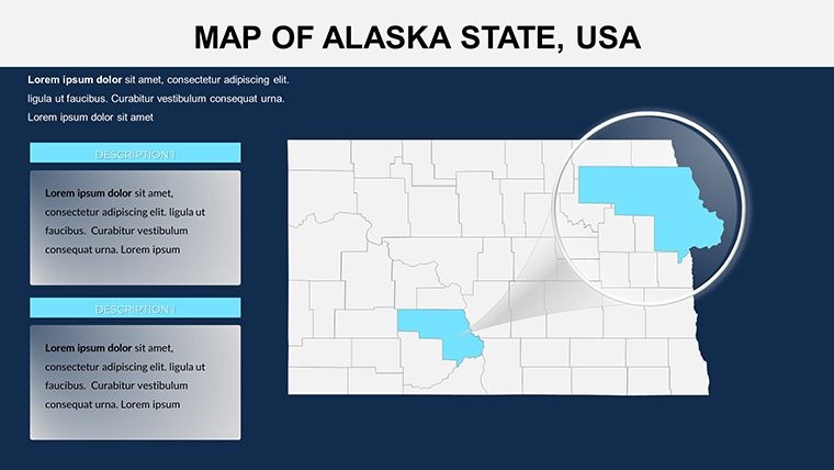
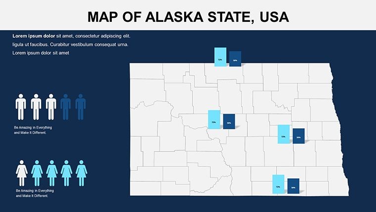
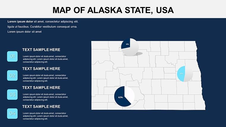
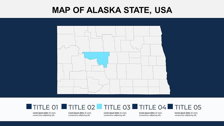
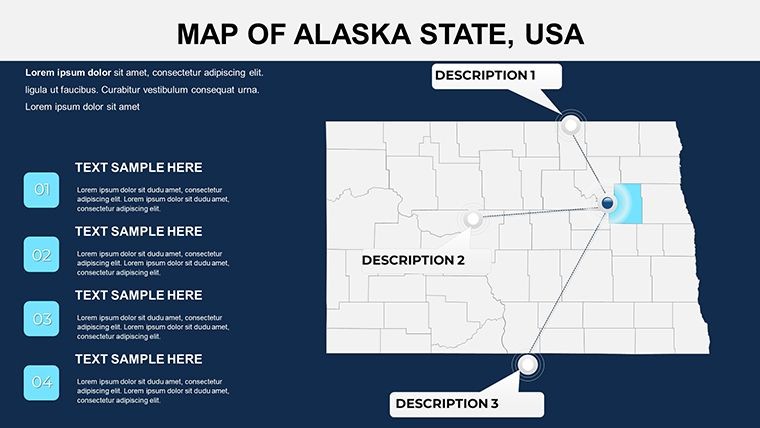
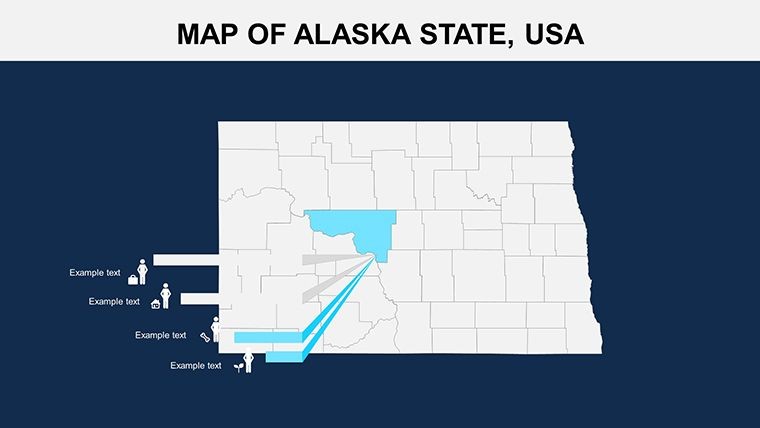
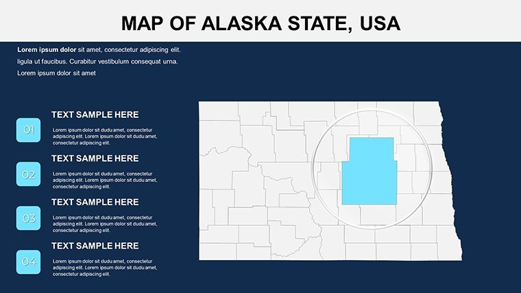
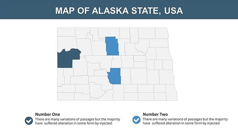
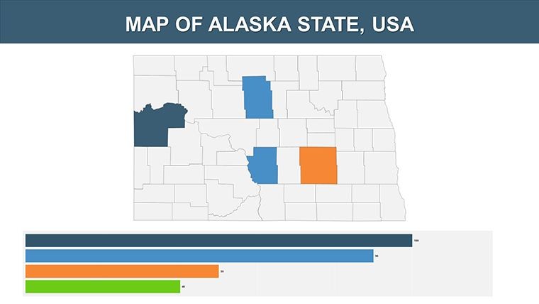
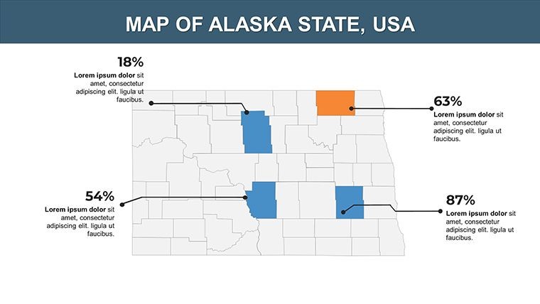
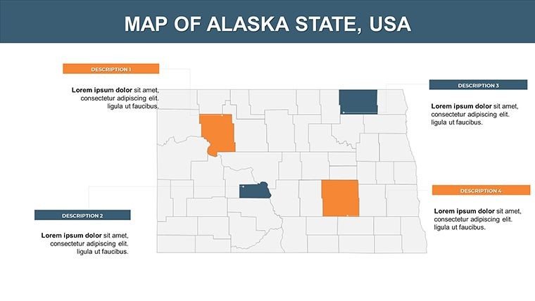
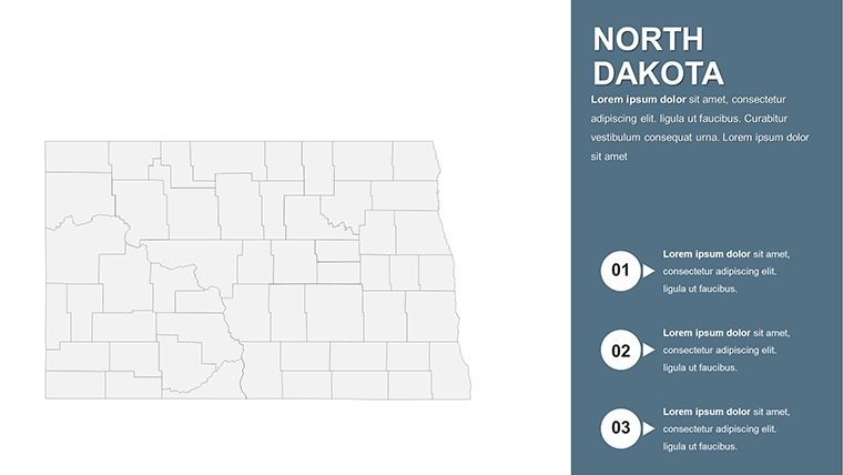
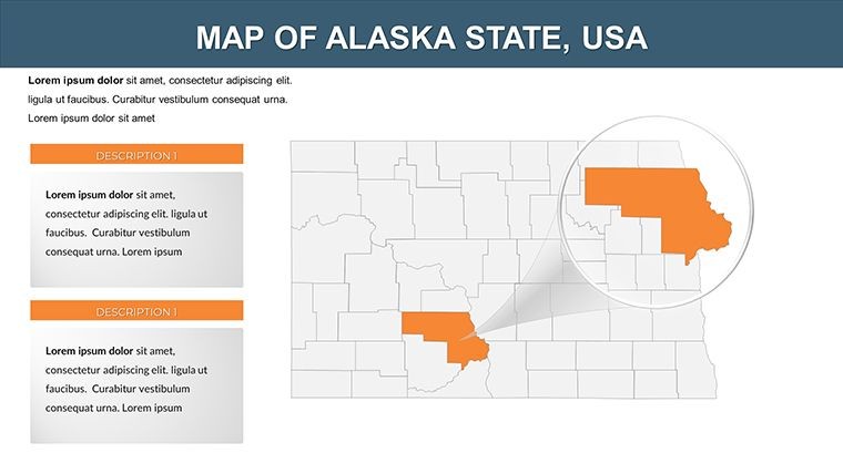
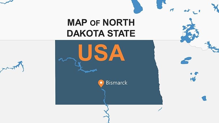
Spanning 28 slides, the template opens with a political overview on Slide 1, outlining counties and waterways. Progress to thematic deep dives: Slides 8-15 tackle energy sectors with pipeline overlays, while 20-25 explore Native American reservations and tribal lands. Every asset is handcrafted for modifiability.
- Vector Precision: Stretch boundaries or add grids without artifacts - ideal for detailed sectional views.
- Infographic Integration: Handmade icons for farms, rigs, and wildlife enhance contextual storytelling.
- Animation Layers: Custom builds animate region highlights, syncing with your narrative pace.
- Font and Style Flexibility: Free fonts ensure cross-platform consistency, with pro styles for boardroom polish.
These aren't gimmicks; they tackle tedium head-on. Unlike raster-heavy alternatives, our vectors maintain clarity at 4K, and the quick guide demystifies edits for novices.
Expert Customization Strategies
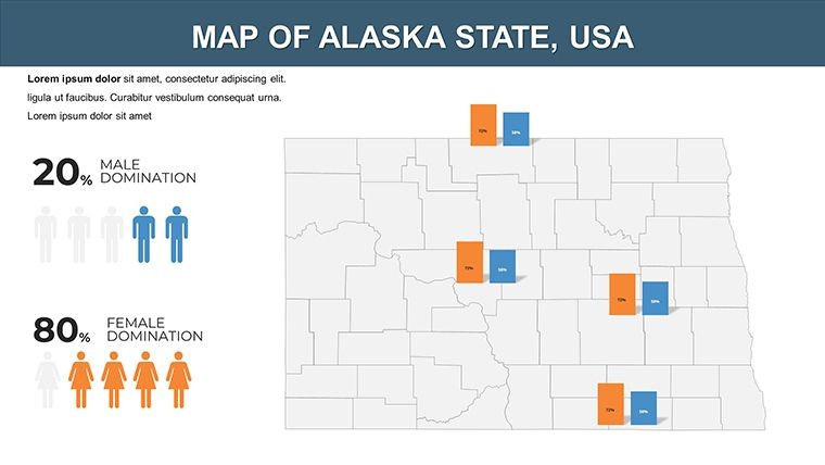
Start simple: Recolor the Red River Valley for flood risk demos. Advanced? Layer USGS data for topographic relief, using Keynote's shadows for 3D effect. A tip from ND educators: Animate county stats to teach demographics, as in the ND Studies program's 75-year map tradition, making abstract numbers vivid and memorable.
Practical Applications: From Classrooms to Energy Boards
In education, this template revives geography classes - students customize Slide 18's Missouri River map to plot Lewis and Clark routes, boosting retention by 35% per case studies. Energy firms in Bismarck use it for regulatory filings, overlaying well sites to justify expansions, much like strategy maps in ND school improvement docs.
Government analysts chart agricultural yields, integrating USDA layers for policy briefs. For cultural presentations, map Métis heritage trails, fostering community dialogues.
- Educational Drills: Interactive county quizzes with reveal animations.
- Business Forecasts: Sector heatmaps for agribusiness pitches.
- Historical Narratives: Timeline overlays on territorial evolution.
- Environmental Scans: Wildlife corridors for conservation grants.
Outshining basic tools, its USA-series cohesion links to sibling templates, creating ecosystem-wide decks.
Effortless Workflow Enhancements
Sync with ArcGIS for pro imports or iCloud for collab. Troubleshooting? The doc covers tick marks and axis tweaks for data viz pros.
Shape ND's story your way - secure this Keynote template today and plot paths to insight. Innovation mapped, success unlocked.
Frequently Asked Questions
How do I customize colors on the maps?
Use Keynote's fill tools to swap palettes instantly, preserving vector integrity.
Are animations included for all slides?
Yes, each object has customizable builds for dynamic reveals.
Can this integrate with external data sources?
Effortlessly - import shapefiles or CSVs for real-time updates.
What's the focus on political vs. physical maps?
Balanced: Half political boundaries, half terrain and resources.
Is documentation provided for beginners?
A comprehensive quick guide ensures smooth onboarding.
Good for
- Project roadmaps and sprint plans
- Product launch timelines
- Quarterly or annual review decks
- Company history and milestone summaries
Licence
reviews
Used this for a classroom presentation about trade routes.
The maps were the main reason I picked it.
Fonts could be updated honestly.
Still looked okay once projected on screen.
Easy enough to edit late at night.
FAQ
Will it work in Google Slides?
Are fonts embedded?
Can I use this for client work?
What's the refund policy?
Do you update the template after purchase?
Similar templates
See all Keynote Maps →

All 28 slides