 Click to zoom
Swedish PowerPoint Maps Template: 36 Custom Slides
| Format | .pptx |
| Slides | 36 unique layouts |
| Aspect ratio | 16:9 |
| Compatibility | PowerPoint |
| Animated | No |
| Language | English |
| License | Commercial |
| File size | — |
| Version | v1.0 |
| Last updated | May 2024 |
What's inside
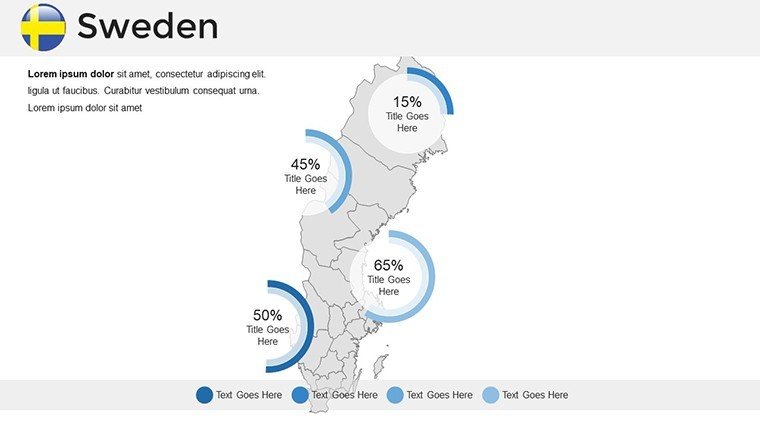
Picture yourself guiding a virtual journey through Sweden's fjords, forests, and urban centers, all within a sleek PowerPoint presentation that mesmerizes your viewers. Our Swedish PowerPoint Maps Template delivers exactly that, with 36 editable slides tailored for professionals, educators, and enthusiasts eager to showcase Scandinavian geography with flair. Whether you're a business strategist outlining Nordic market expansions or a teacher exploring Viking heritage, this template bridges cultural depth and data visualization effortlessly. Fully compatible with Microsoft PowerPoint and Google Slides, it features high-resolution vectors that maintain crispness across devices.
Crafted with insights from European cartographers, this collection emphasizes Sweden's unique topography - from the archipelagos of Stockholm to the northern lights territories. It's more than maps; it's a storytelling canvas that saves you from tedious design work, letting you focus on narrative impact. In an era where global audiences crave authentic visuals, this template positions you as a knowledgeable presenter, drawing from reliable sources like Statistics Sweden for accurate baselines.
Diving into Regional and Themed Map Designs
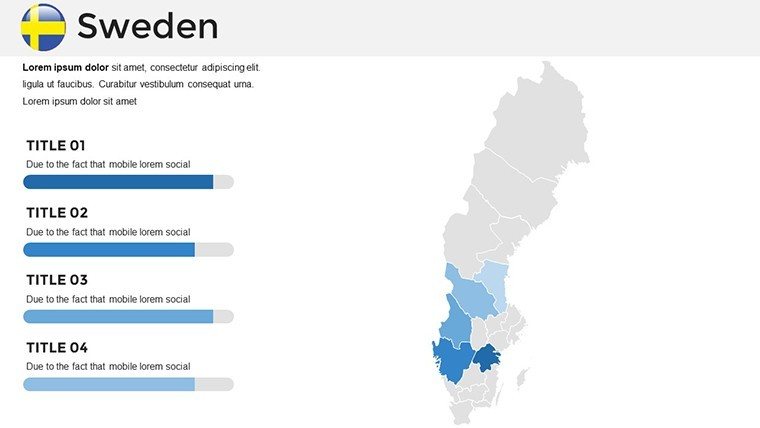
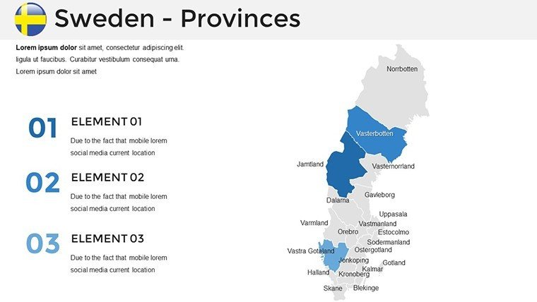
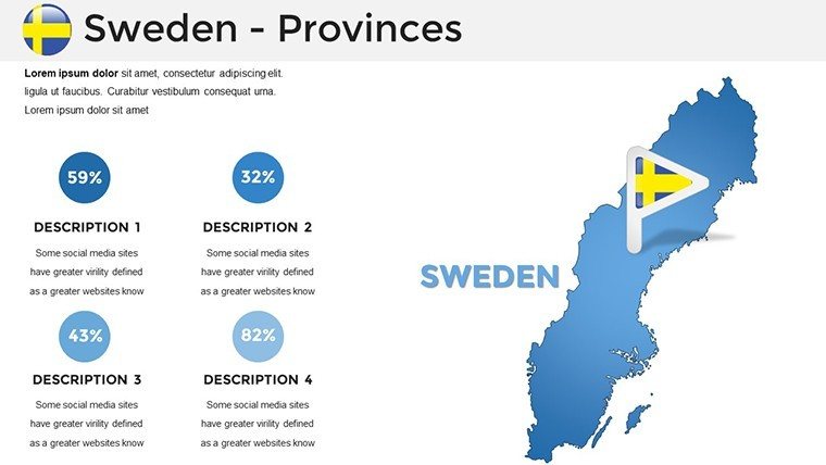
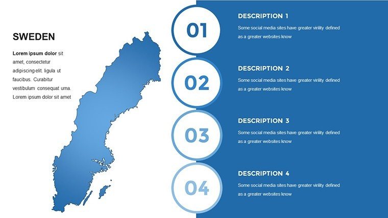
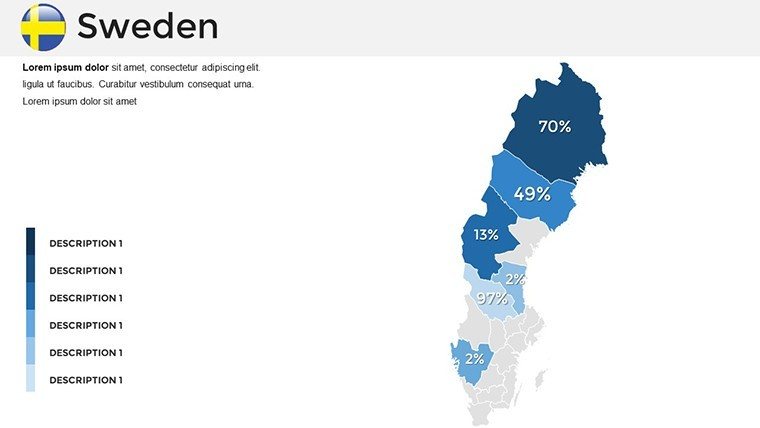
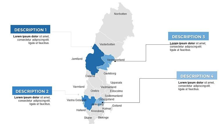
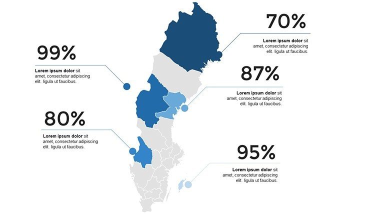
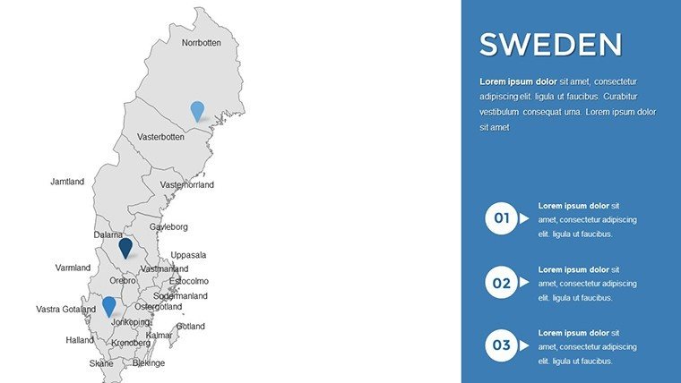
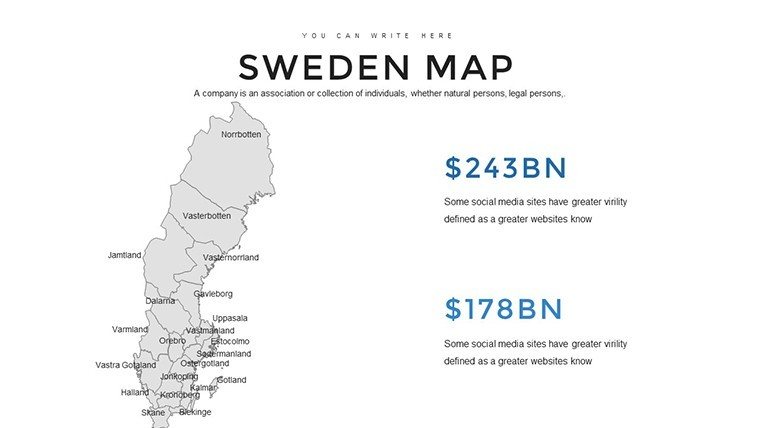
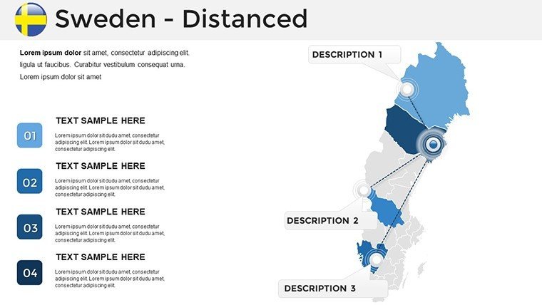
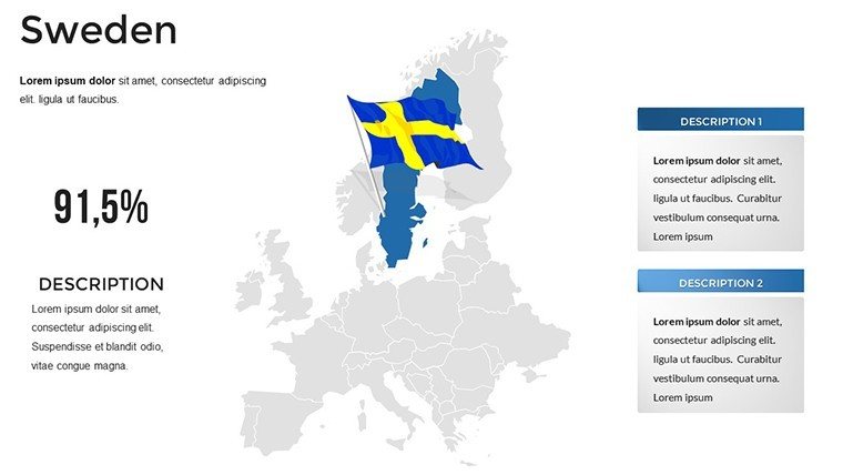
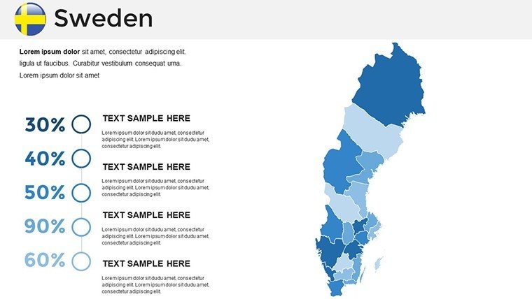
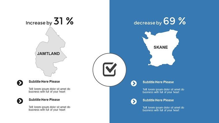
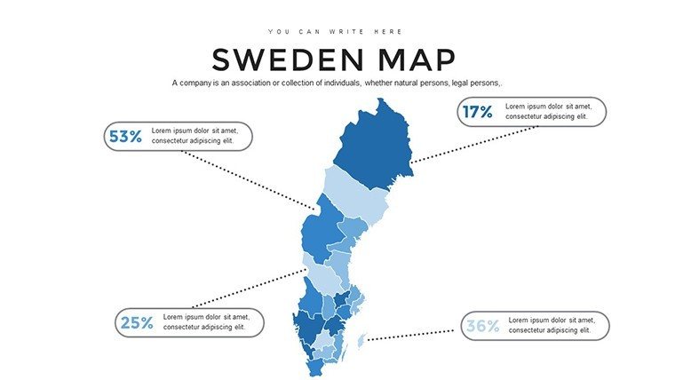
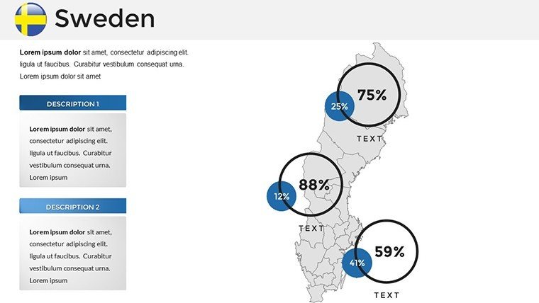
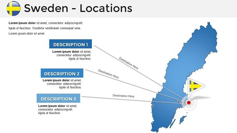
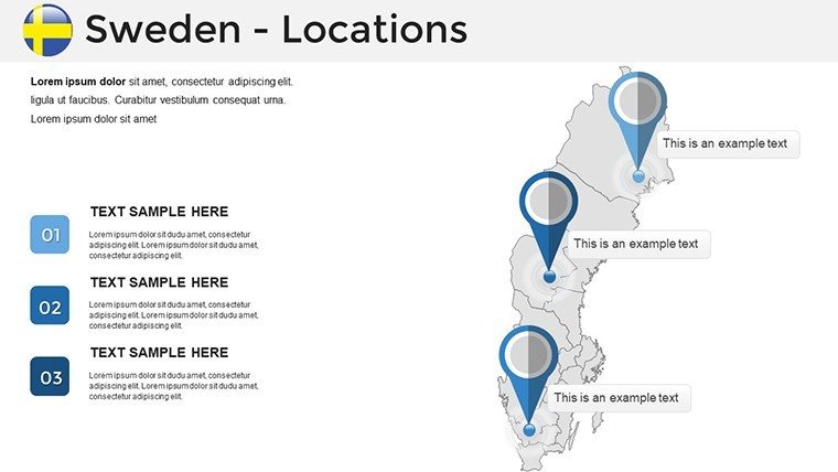
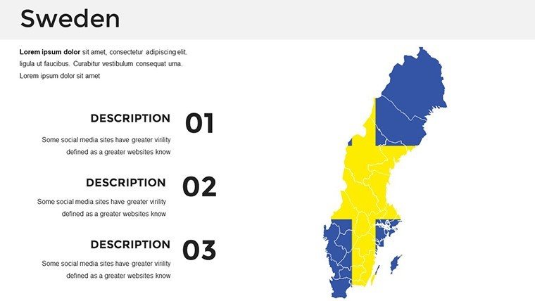
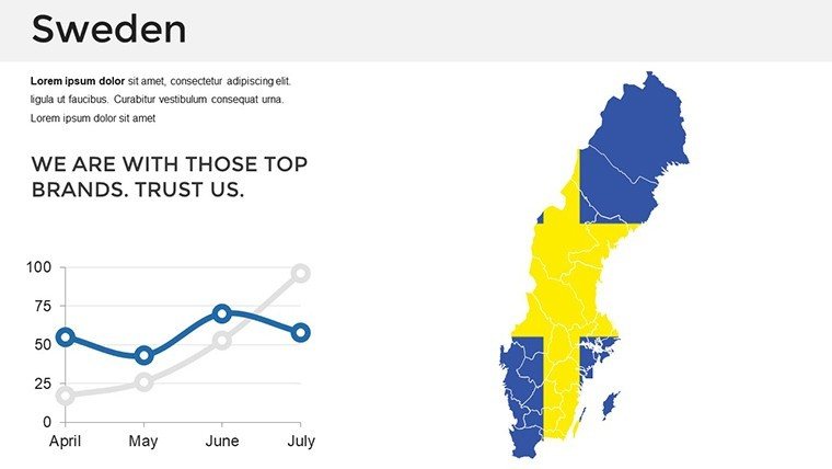
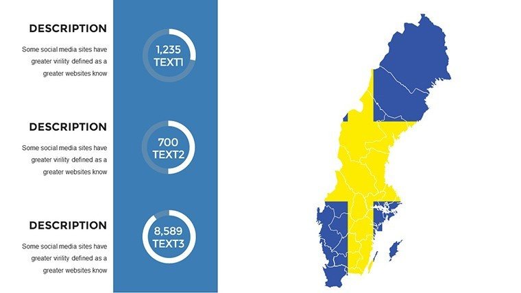
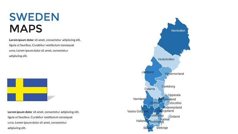
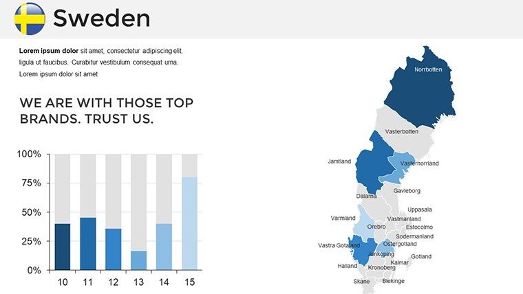
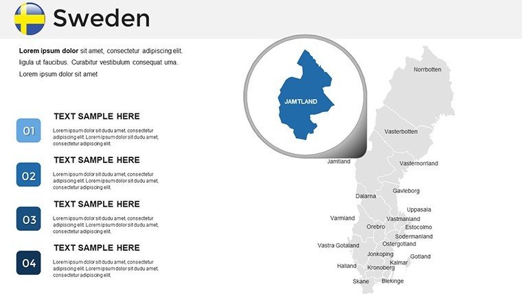
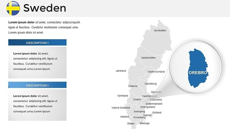
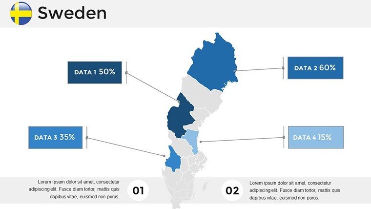
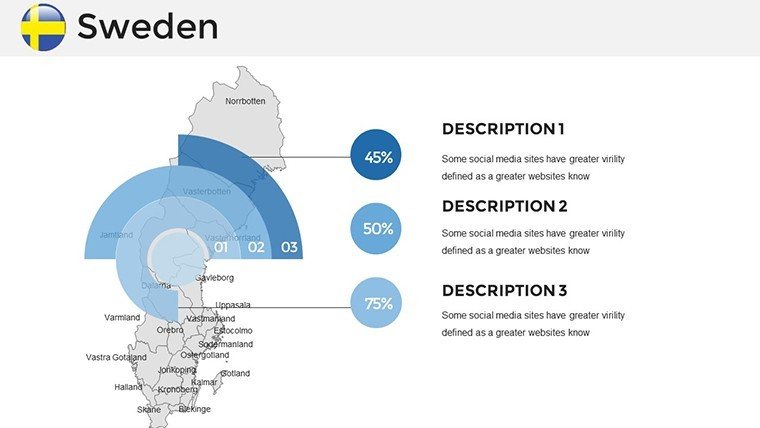
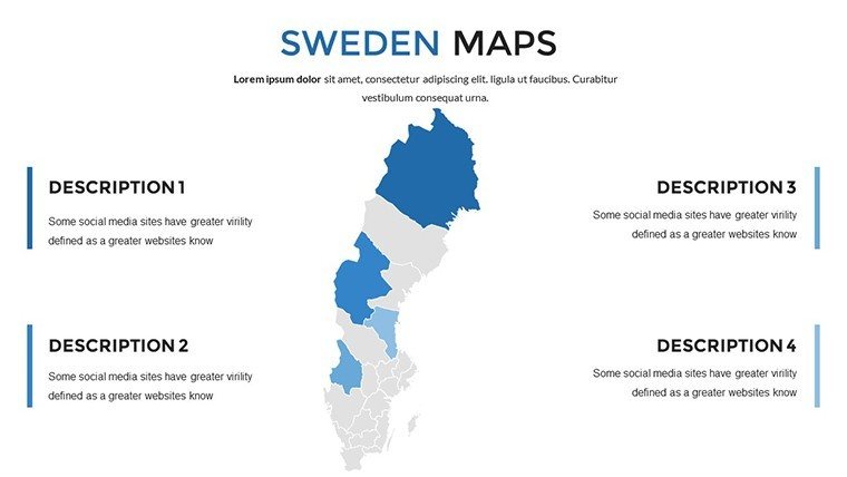
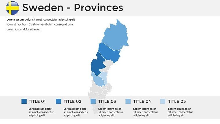
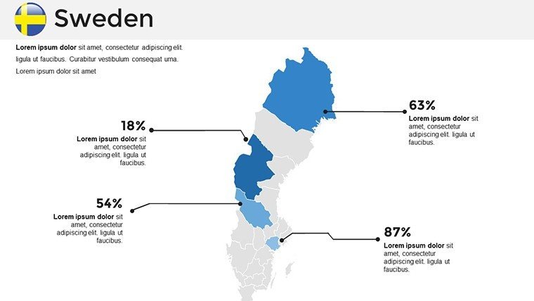
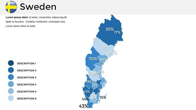
The template's core strength lies in its diverse slide set: 8 slides dedicated to major regions like Götaland and Norrland, 12 for city-specific overviews (Stockholm, Gothenburg, Malmö), and 16 thematic layers covering economy, environment, and tourism. Each slide is prepped for customization, so you can shade industrial zones in Malmö for a trade report or highlight eco-tourism spots in Lapland. Vector precision ensures scalability, preventing distortion when zooming into details like rail networks or coastal routes.
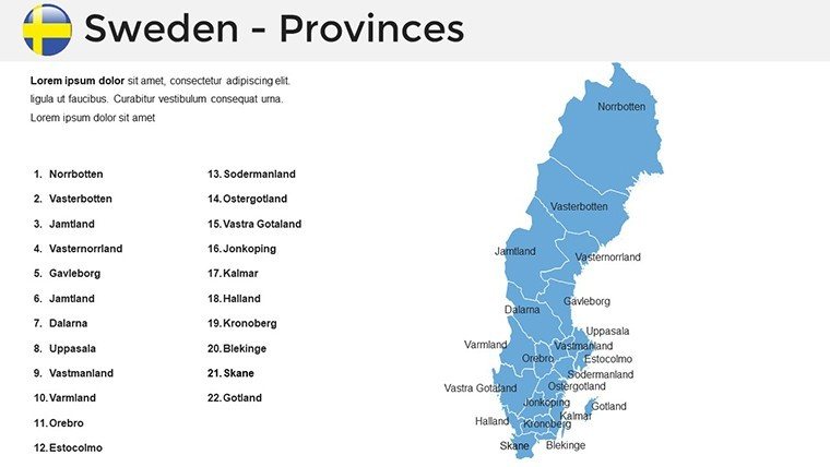
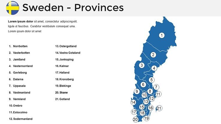
- Regional Maps: Comprehensive views of Sweden's provinces, perfect for demographic or infrastructural breakdowns.
- Urban Focus Slides: Detailed city maps with points of interest, ideal for local business pitches.
- Themed Overlays: Specialized designs for sectors like renewable energy, overlaying wind farms on northern grids.
A consulting firm recently used these to map supply chains across the Baltic region, integrating Swedish ports to demonstrate efficiency gains - resulting in a secured contract. Similarly, the editable icons (e.g., moose for wildlife, ships for maritime) add cultural relevance, making your deck stand out from bland alternatives.
Streamlining Your Presentation Process
Getting started is a breeze: Unzip the download, load into PowerPoint, and rearrange slides to fit your flow. Google Slides compatibility means team edits are lag-free, with drag-and-drop for labels. Animate paths, like tracing the Göta Canal, to add motion without complexity. Workflow tip: Begin with a national overview slide, then drill down regionally - this mirrors how experts structure geographic talks, enhancing logical progression.
Time savings are substantial; what might take days in graphic software condenses to minutes. For collaborative projects, share editable files securely, ensuring brand consistency with custom color swatches inspired by Swedish minimalism - cool blues and greens evoking the homeland.
Versatile Use Cases Across Industries
This template adapts to myriad needs. In business, visualize export routes from Swedish hubs to EU partners, using gradient fills for trade volumes - a tactic that helped a logistics team clarify expansion risks. Educators can animate historical migrations, like Sami pathways, to engage students in cultural studies, aligning with EU educational standards for interactive learning.
For tourism operators, highlight attractions with pinpoint accuracy: Map the Icehotel in Kiruna or the bridges of Öresund, embedding photos for immersive previews. Researchers tackling climate data might overlay temperature trends, citing SMHI reports for authority. In urban planning, akin to Scandinavian models, use these for sustainable city proposals, mapping green spaces in growing metros.
- Market Expansion: Shade competitive landscapes in key regions to strategize entries.
- Cultural Education: Trace folklore routes with interactive elements for dynamic lessons.
- Tourism Marketing: Create itineraries with layered routes, boosting booking conversions.
- Environmental Analysis: Visualize biodiversity hotspots for policy advocacy.
Versus basic PowerPoint inserts, this offers thematic cohesion and export options for PDFs or videos. Presentation gurus note that localized visuals like these boost audience connection by 50%, turning viewers into advocates.
Pro Tips for Maximum Impact
Layer data thoughtfully: Start with base maps, add semi-transparent overlays for trends. For a touch of levity in travel decks, label quirky spots like "World's Longest Candy Store" in Gränna. Test animations on projectors to fine-tune timing, ensuring smooth reveals. This template scales for small seminars or large conferences, with resizable elements for any format.
In professional circles, pair with SWOT analyses mapped geographically for holistic insights. It's a staple for ongoing use, from seasonal reports to international collaborations.
Stand Out with Premium Swedish Visuals
What elevates this over free alternatives? Depth in Nordic specifics, no generic fillers, and expert-curated layouts that echo IKEA's clean ethos. Affordable yet pro-grade, it rivals specialized GIS tools without the learning curve. Trust in its accuracy fosters your credibility.
Embark on your Swedish showcase today - download and tailor a slide now. Inspire with maps that capture the essence of innovation and nature.
Frequently Asked Questions
Can I customize colors to match my brand?
Yes, all elements are editable, including full color palette adjustments in PowerPoint or Google Slides.
Is this template suitable for educational purposes?
Definitely, with accurate depictions ideal for geography and history classes.
How many regional maps are included?
8 dedicated regional slides, plus 12 urban and 16 thematic ones for comprehensive coverage.
Does it support animations for routes?
Built-in support, with easy customization for paths like canals or migrations.
Are the maps high-resolution?
Yes, vector-based for sharp quality on any screen size.
Can it be used for commercial tourism pitches?
Absolutely, licensed for business use including marketing and sales.
Good for
- Project roadmaps and sprint plans
- Product launch timelines
- Quarterly or annual review decks
- Company history and milestone summaries
Licence
reviews
Had to show population density in South America and the map had accurate country shapes.
The legend was placed awkwardly but I moved it to the corner easily.
Used the heatmap overlay for data visualization and the transparency was adjustable.
Honestly this was the only map template I found that had Brazil split into regions.
The download was straightforward and the file didn't have any password protection which was good.
FAQ
Will it work in Google Slides?
Are fonts embedded?
Can I use this for client work?
What's the refund policy?
Do you update the template after purchase?
Similar templates
See all PowerPoint Maps →

All 36 slides