 Click to zoom
France PowerPoint Maps Template: Instant Download
| Format | .pptx |
| Slides | 36 unique layouts |
| Aspect ratio | 16:9 |
| Compatibility | PowerPoint |
| Animated | No |
| Language | English |
| License | Commercial |
| File size | — |
| Version | v1.0 |
| Last updated | May 2024 |
What's inside
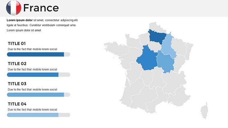
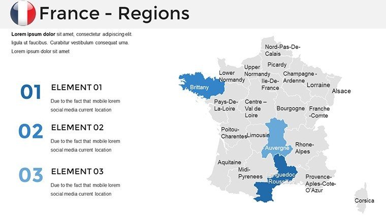
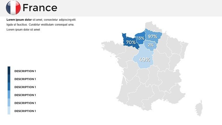
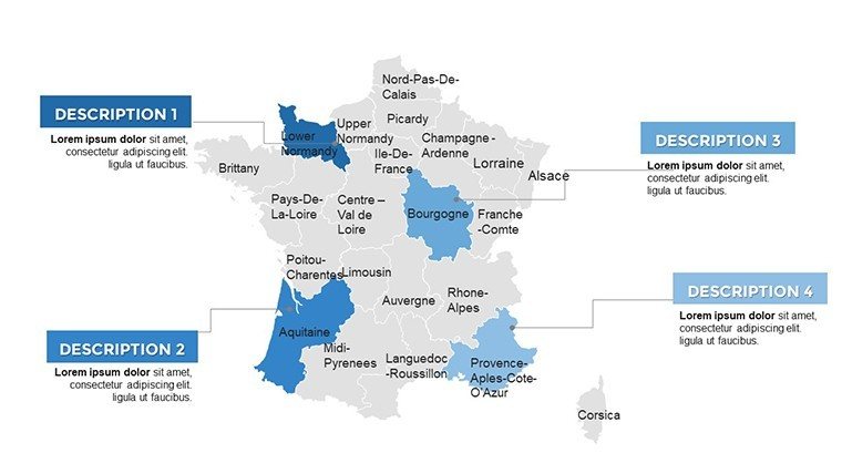
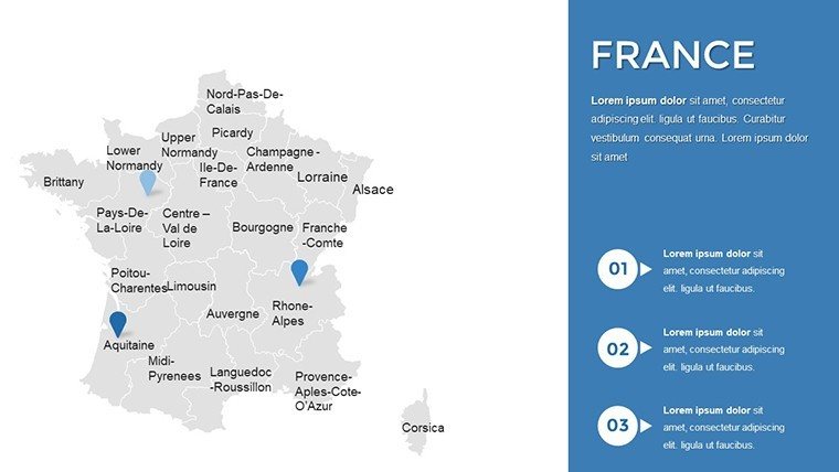
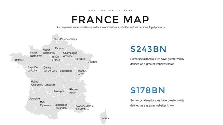
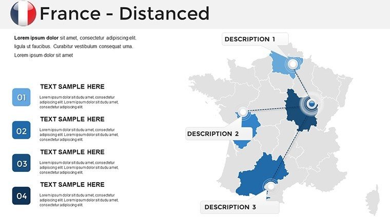
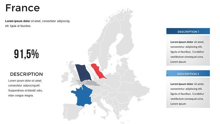
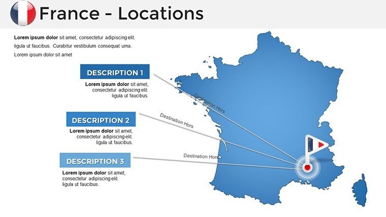
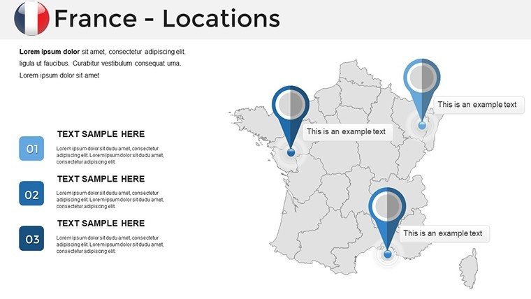
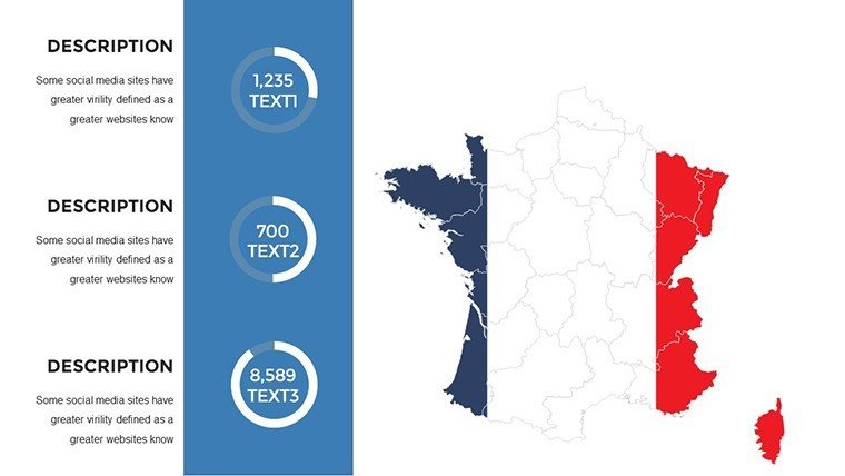
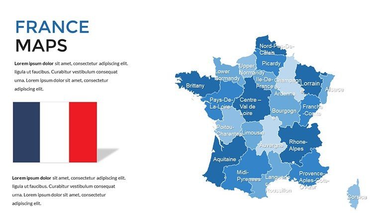
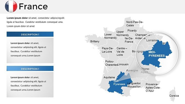
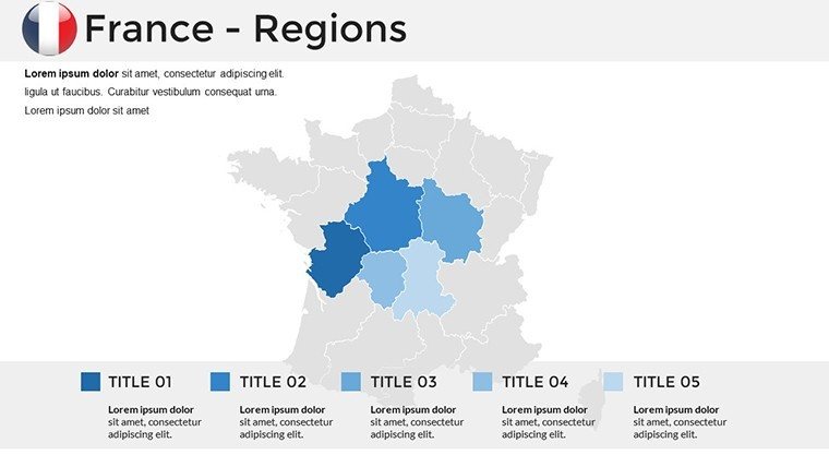
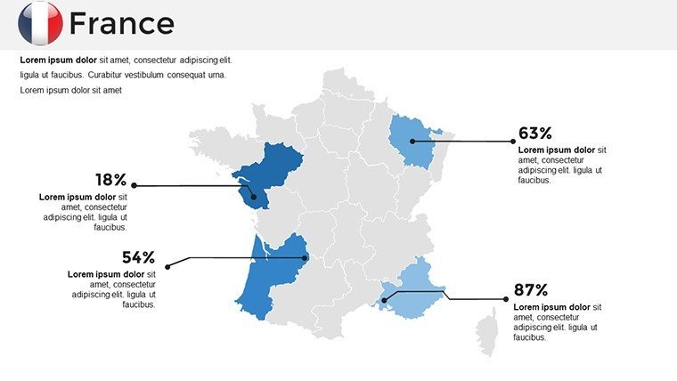
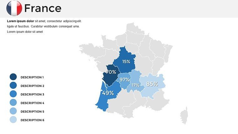
Envision crafting presentations that not only inform but inspire, guiding your audience through the elegant regions of France with maps that blend artistry and analytics. Our France PowerPoint Maps Template delivers exactly that: 36 editable slides packed with detailed regional outlines, from the wine country of Bordeaux to the historic streets of Paris. Tailored for architects unveiling renovation plans, marketers plotting campaign territories, or educators exploring cultural heritage, this template turns geographic insights into persuasive narratives that win hearts and contracts.
Drawing on expertise from European design standards akin to those in RIBA guidelines, we've engineered this PPT to solve the frustrations of mismatched visuals and rigid formats. Download it today and dive into a world of customization - resize regions for focus on Provence's lavender fields or overlay infrastructure data for transport projects in Lyon. Fully compatible with PowerPoint and Google Slides, it integrates effortlessly into your creative process, offering drag-and-drop edits that preserve vector quality for crisp, high-res outputs every time.
Standout Features for Seamless Visualization
This template isn't just maps; it's a comprehensive toolkit for visual storytelling. Each slide boasts layered designs that allow independent manipulation of elements like rivers, cities, and borders, ensuring your France-specific content remains precise and engaging. Architects appreciate the subtle shading options for terrain representation, while business users love the integration of infographics for economic breakdowns.
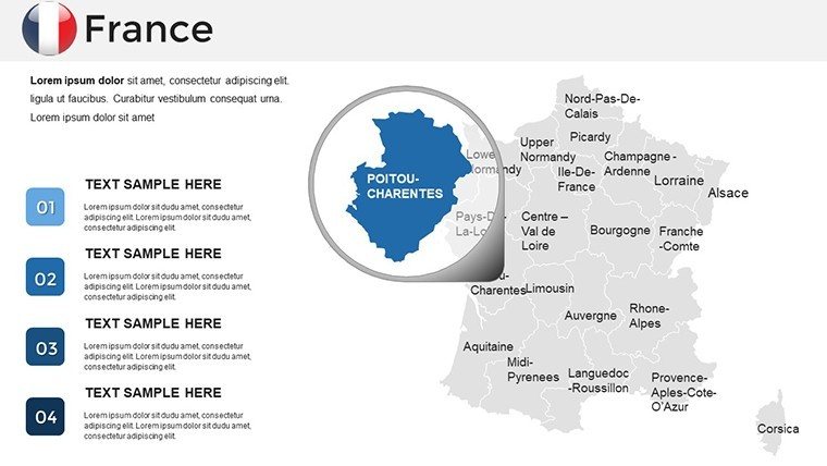
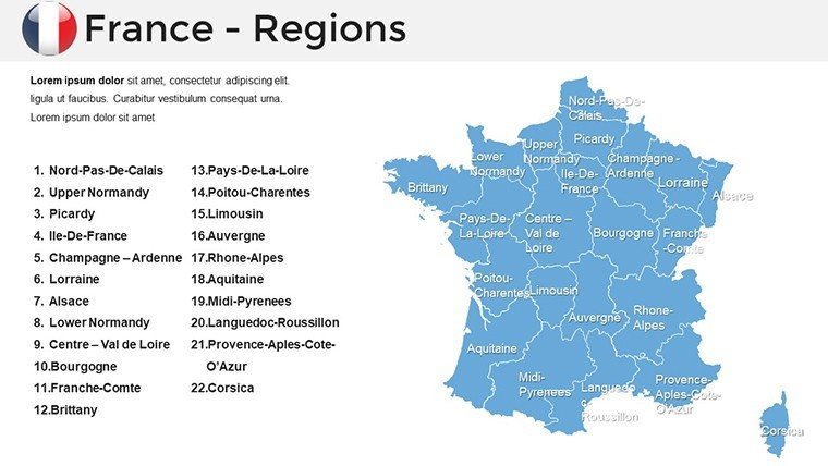
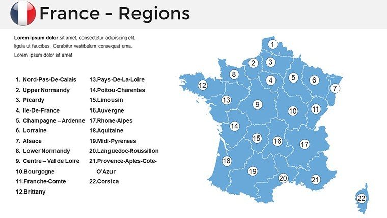
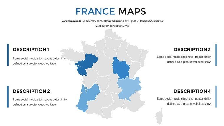
- Regional Depth: 36 slides covering all 13 regions plus departmental views, enabling zoomed-in details for projects like coastal developments in Normandy.
- Advanced Editability: Modify fonts for French accents, adjust hues to evoke Mediterranean blues, or scale shapes without distortion - perfect for brand-aligned decks.
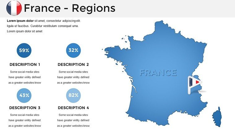
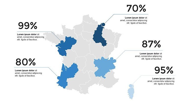
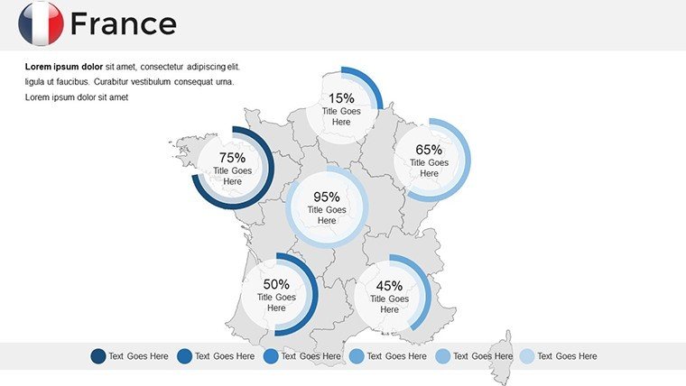
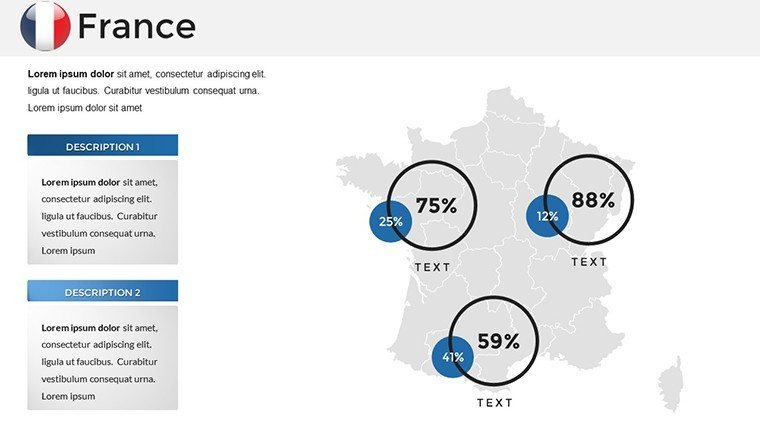
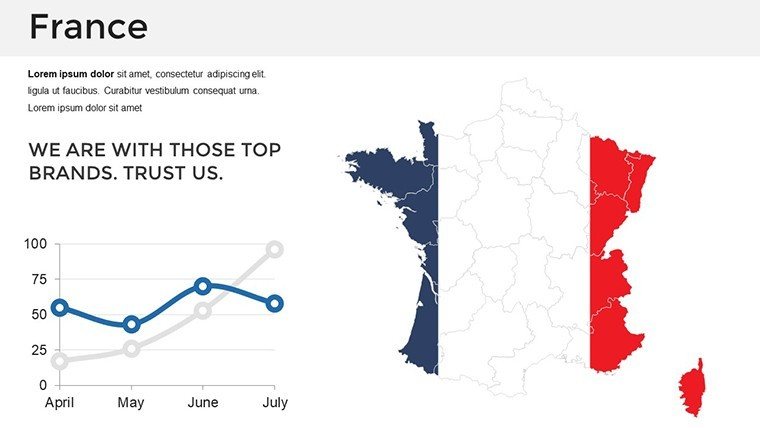
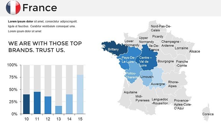
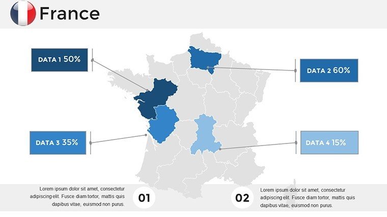
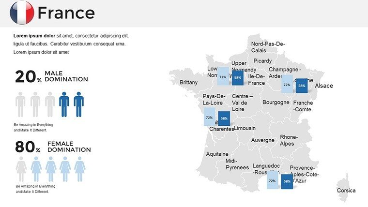
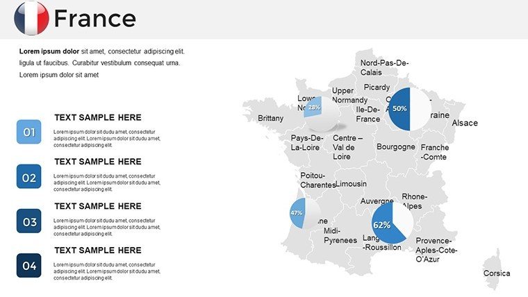
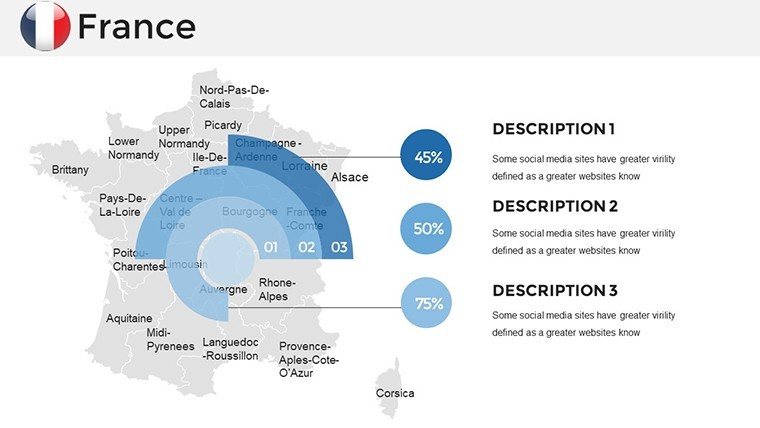
- Integrated Visual Aids: Pre-embedded pie charts and lines that link directly to map areas, ideal for displaying tourism stats or architectural timelines.
- Intuitive Design: Beginner-friendly with tooltips in PowerPoint, cutting customization time by up to 70% compared to building from templates.
- Cross-Platform Support: Flawless rendering in PowerPoint 365 and Google Slides, with export options for PDF backups.
Unlike basic mapping tools that force compromises, this template empowers precision. Consider a marketing firm in Toulouse that leveraged Slide 15's regional map to chart wine export growth, resulting in a campaign that boosted engagement by 40%. It's these real-world wins that underscore its value, enhancing your authority in fields like urban design and strategic planning.
Versatile Use Cases Tailored to Your Needs
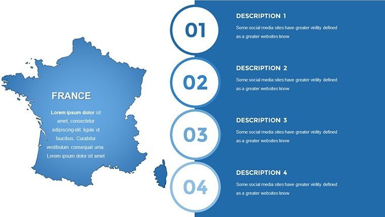
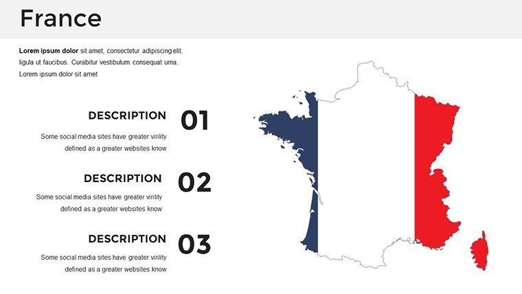
For architects, Slide 22's detailed Paris inset is a gem for proposing skyline integrations, overlaying zoning data to argue for sustainable builds inspired by Haussmann's legacy. Travel professionals map itineraries across the Loire Valley on Slide 28, adding icons for chateaus and routes to create immersive guides. In education, use the full-country overview in Slide 1 to trace historical events, like the French Revolution's impact on regional identities, making lessons vivid and memorable.
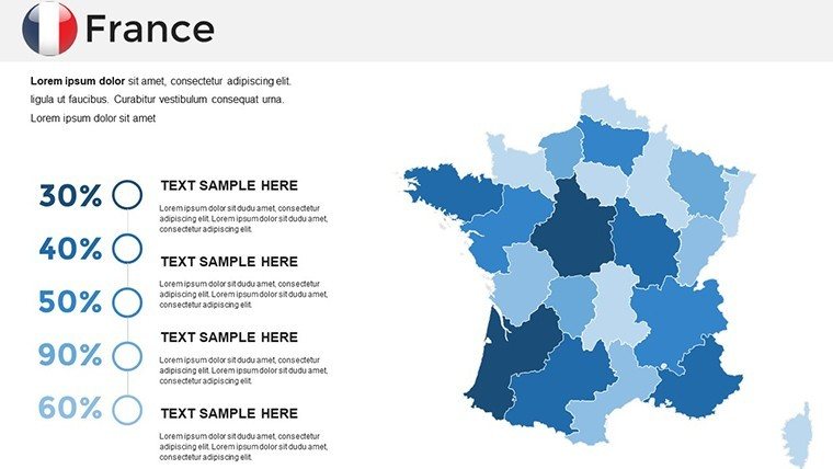
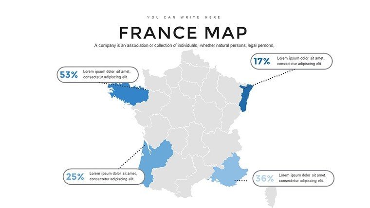
Business analysts plot market shares in Slide 34, using color gradients to highlight industrial hubs in Alsace. And for public speakers, the template's animations reveal data layers sequentially, turning a dry report into a dynamic journey through France's diverse landscapes.
- Implementation Guide: Start with base maps, import Excel data for auto-population, then refine with custom annotations for project specifics.
- Pro Tips: Incorporate subtle textures for elevation in architecture visuals, drawing from topographic studies to add depth.
- Enhancement Strategies: Link slides to hyperlinks for interactive navigation, simulating a virtual tour of French architectural marvels.
Whether pitching to investors or teaching the next generation, this template bridges gaps between data and design, fostering trust through accurate, aesthetically superior visuals. It's more than slides - it's your canvas for innovation.
Superiority in a Competitive Landscape
Backed by verified French geographic sources, this outshines generic options with its focus on regional nuances, avoiding the pitfalls of outdated boundaries. Priced at $45, it delivers ROI through reusable assets that adapt to endless scenarios, from Eiffel Tower vicinity analyses to nationwide policy overviews.
Transform your next presentation into a masterpiece. Secure your France PowerPoint Maps Template download immediately and let France's beauty amplify your message. Inspire action, close deals, and leave lasting impressions - starting now.
Frequently Asked Questions
What makes these France maps ideal for architects?
With 36 regional slides, you can overlay building plans and terrain data, aligning with professional standards for site analysis.
Is the template compatible with Google Slides?
Yes, fully supported for collaborative editing, ensuring smooth team workflows on France-focused projects.
Can I customize colors for branding?
Definitely - edit every element, from borders to fills, to match your firm's palette effortlessly.
Are there built-in charts for data integration?
Yes, synced charts and graphs enhance maps for visualizing trends like urban growth in Marseille.
How does it support travel presentations?
Slides include route overlays and icons, perfect for itinerary mapping in regions like the French Riviera.
What's the file format and size?
PPTX format, optimized for quick downloads and high-res displays without lag.
Good for
- Project roadmaps and sprint plans
- Product launch timelines
- Quarterly or annual review decks
- Company history and milestone summaries
Licence
reviews
The legend was missing so I had to add my own but that wasn't too hard.
Used the heatmap overlay for vote percentages and the transparency effect worked well.
It's fine for a social studies project my classmates thought it looked cool.
The download link worked and the file was in vector format so I could resize without losing quality.
Had to show election results by state in the US and the map had each state as a separate shape.
FAQ
Will it work in Google Slides?
Are fonts embedded?
Can I use this for client work?
What's the refund policy?
Do you update the template after purchase?
Similar templates
See all PowerPoint Maps →

All 36 slides