 Click to zoom
Panama Keynote Maps: Customizable Essentials
| Format | .pptx |
| Slides | 36 unique layouts |
| Aspect ratio | 16:9 |
| Compatibility | PowerPoint |
| Animated | No |
| Language | English |
| License | Commercial |
| File size | — |
| Version | v1.0 |
| Last updated | August 2025 |
What's inside
Picture unveiling the strategic lifeline of global trade - the Panama Canal - in a presentation that seamlessly connects continents and ideas. Our Panama Keynote Maps Template, equipped with 36 customizable slides, is tailored for logisticians, teachers, and adventurers who map out connections with clarity and creativity. Editable on any Keynote-enabled device, it provides the tools to personalize every aspect, from the isthmus's narrow waist to its biodiverse borders, crafting presentations that bridge information gaps and ignite collaborative spirits.
Mapping Panama's Strategic and Natural Wonders
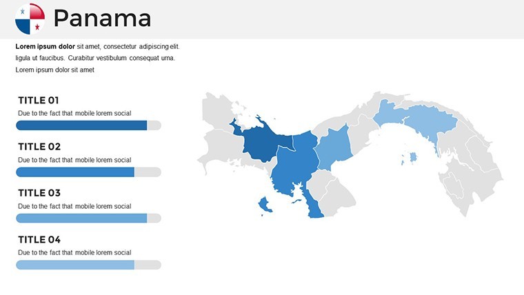
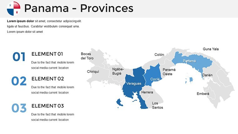
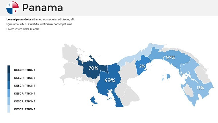
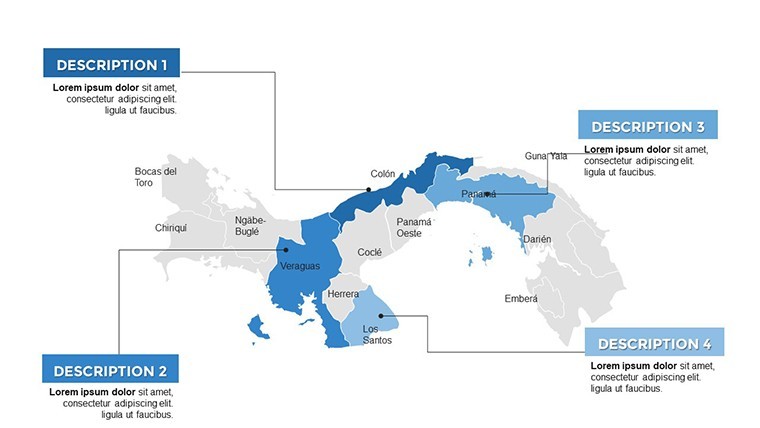
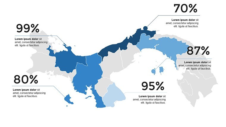
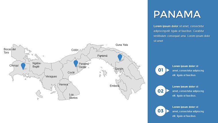
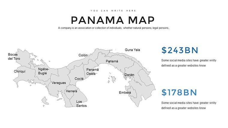
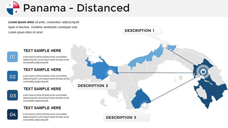
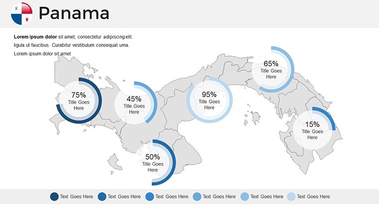
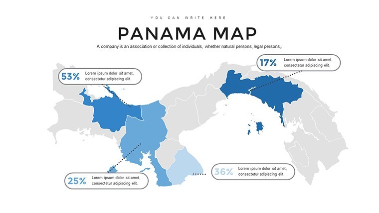
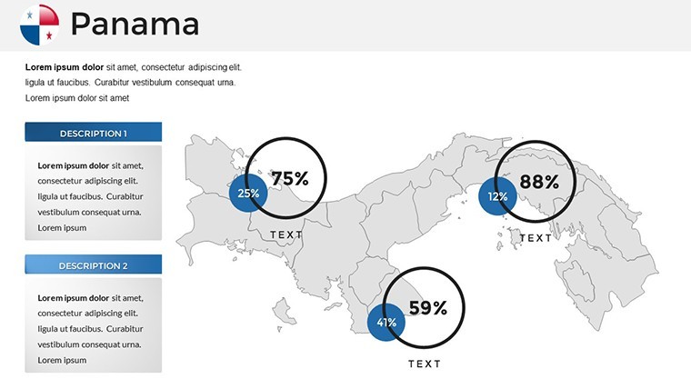
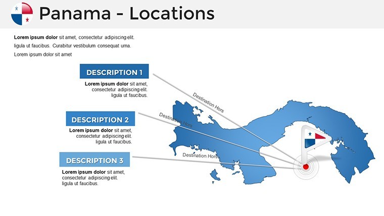
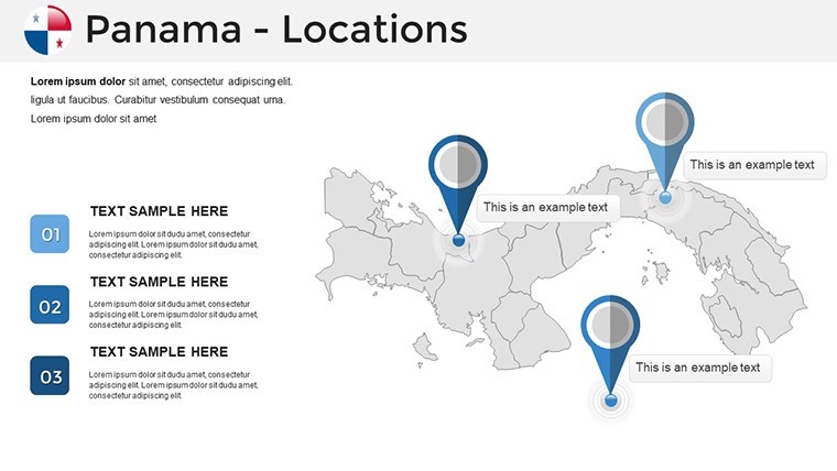
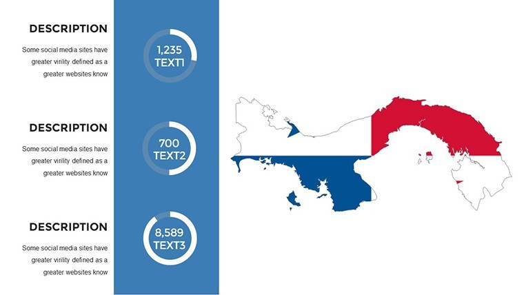
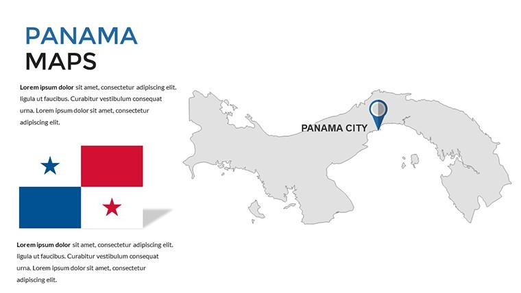
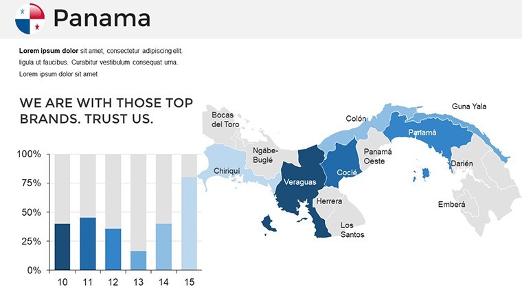
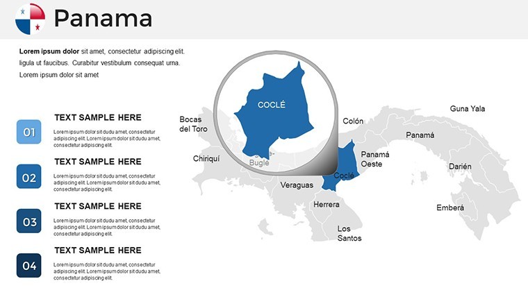
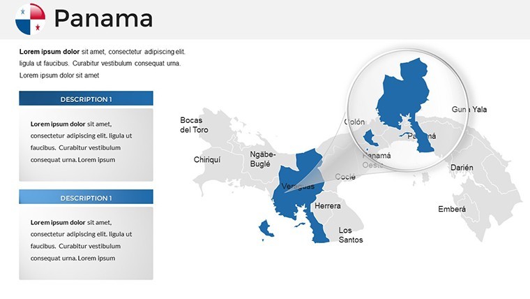
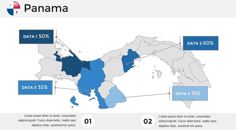
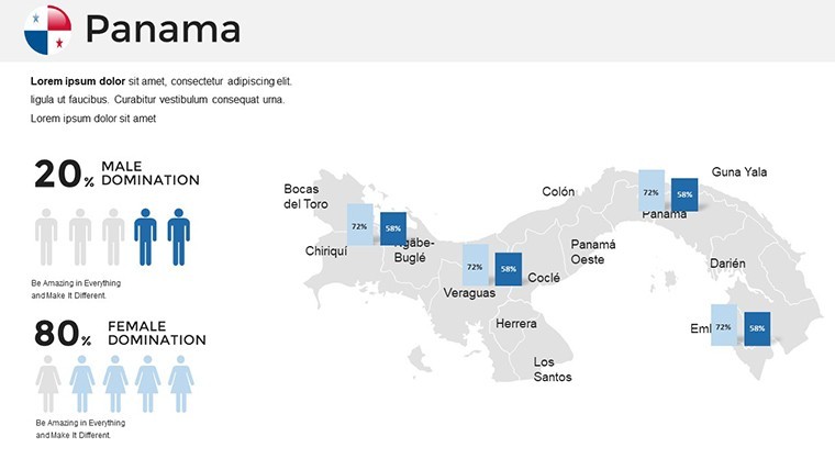
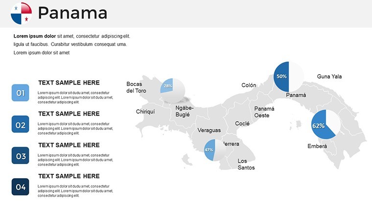
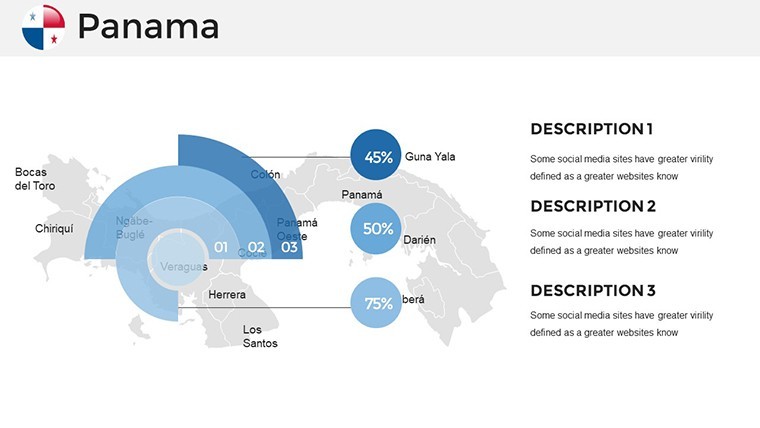
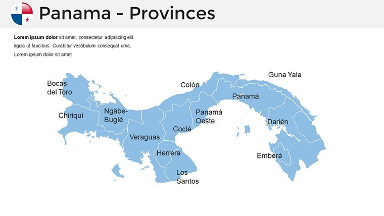
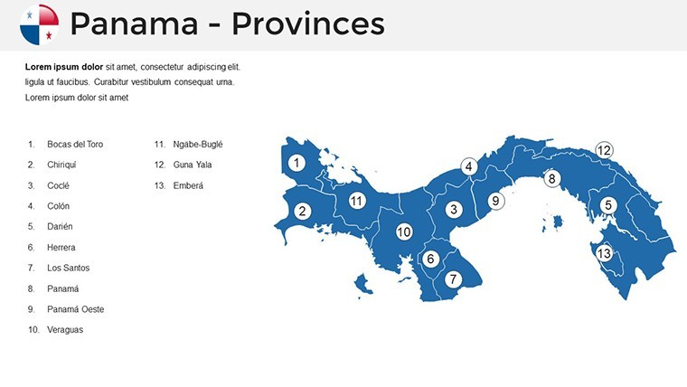
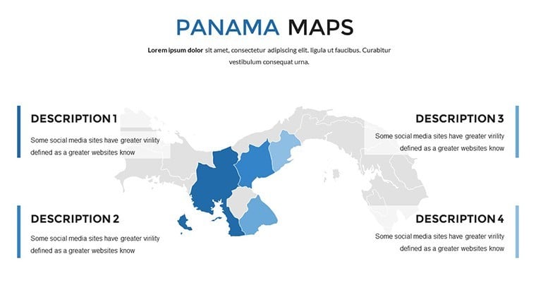
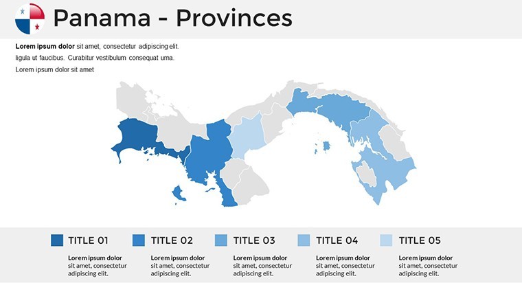
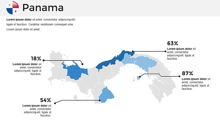
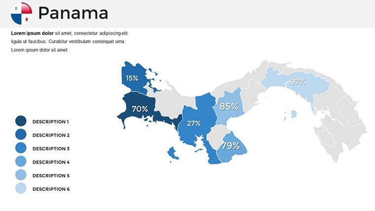
Panama's slender form belies its global significance, linking oceans and ecosystems. This template offers intricate maps of the 10 provinces and comarcas, perfect for pinpointing the Canal Zone or Darién's wilderness. Enjoy benefits like lossless vector scaling and data fusion from sources such as the Panama Canal Authority's traffic stats or Smithsonian biodiversity reports. A shipping company, for instance, employed comparable maps to optimize routes, slashing transit times and costs as per industry benchmarks.
Fundamental Features for Effective Mapping
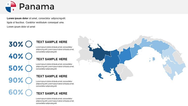
- Provincial Detail: Editable divisions for areas like Colón, with color-coding for logistics or ecological zones.
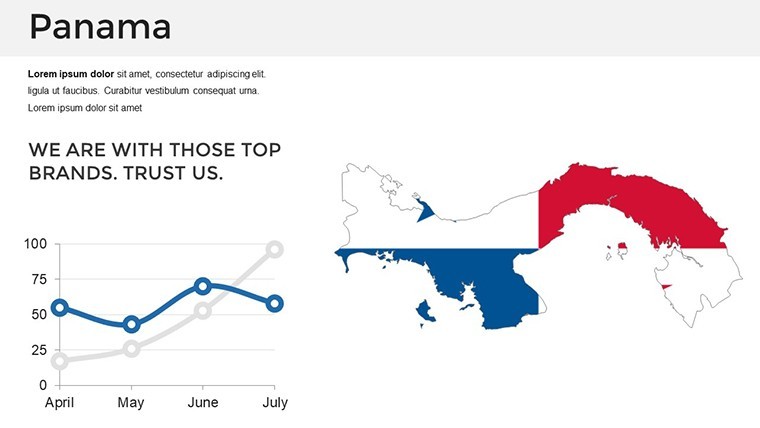
- Integration Tools: Merge shipping data or tourism metrics into dynamic charts.
- Symbolic Additions: Icons for the Canal locks or rainforest canopies to enrich context.
- Style Flexibility: Themes from nautical blues to tropical hues.
- Cross-Device Functionality: Reliable on Apple hardware for versatile use.
These solve everyday hurdles, ensuring your maps are both accurate and appealing.
Broad Applications: Connecting Ideas with Maps
From logistics to learning, this template excels. Teachers map indigenous territories in Emberá-Wounaan, animating cultural exchanges for immersive lessons. Logisticians visualize container flows through the Canal, aiding negotiations with data from Maersk-like entities. Ecotour operators chart trails in Soberanía National Park, attracting eco-conscious travelers. In urban planning, delineate growth in Panama City, supporting sustainable development talks. The template's utility lies in its ability to clarify connections, fostering better outcomes across fields.
Efficient Editing Guide
- Open and select a core map slide.
- Add and layer your specific data.
- Refine design elements for visual harmony.
- Embed interactive features like zoom paths.
- Practice delivery for optimal impact.
This integrates naturally with Keynote, boosting productivity.
Advancing Past Standard Maps
Surpassing basic tools, this aligns with Panamanian geographic standards, offering enhanced features like route simulators. It yields superior results, with users noting increased stakeholder engagement. Drawing on expert cartography, it ensures authoritative, dependable content.
Bridge Your Presentations with Panama Maps
Link worlds through Panama's essence, elevating your slides to connective masterpieces. Download to forge presentations that truly link and lead.
Frequently Asked Questions
How to customize canal routes?
Draw paths with line tools; vectors ensure smooth scaling.
Supports real-time data?
Yes, link to live feeds via embedded web views.
Ideal for bilingual slides?
Absolutely, text editable in English or Spanish.
Export options available?
High-res images or videos from Keynote.
Includes flag integrations?
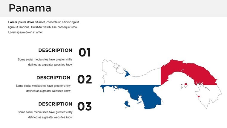
Yes, with editable national symbols.
Good for
- Project roadmaps and sprint plans
- Product launch timelines
- Quarterly or annual review decks
- Company history and milestone summaries
Licence
reviews
Used this for a tourism proposal and the map icons matched the topic nicely.
Editing the layout was easier than I expected honestly.
A few slides had too much blank space for my taste.
I mostly needed the regional maps and they looked fine.
The template helped me finish a last minute deck before class.
FAQ
Will it work in Google Slides?
Are fonts embedded?
Can I use this for client work?
What's the refund policy?
Do you update the template after purchase?
Similar templates
See all Keynote Maps →
All 36 slides