 Click to zoom
El Salvador Keynote Maps: Custom Templates for Geographic Excellence
| Format | .pptx |
| Slides | 36 unique layouts |
| Aspect ratio | 16:9 |
| Compatibility | PowerPoint |
| Animated | No |
| Language | English |
| License | Commercial |
| File size | — |
| Version | v1.0 |
| Last updated | August 2025 |
What's inside
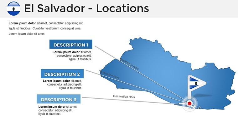
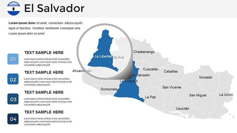
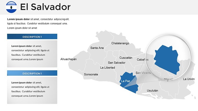
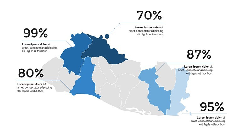
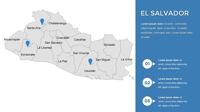
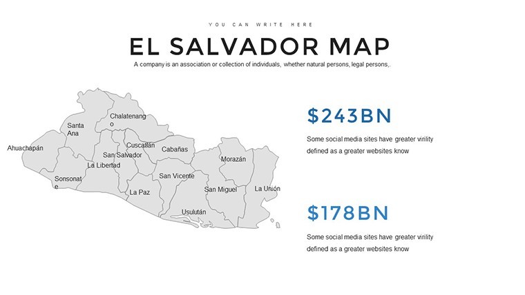
Envision your presentation unfolding like a journey through El Salvador's volcanic landscapes, coastal plains, and vibrant cities such as San Salvador and Santa Ana. Our El Salvador Keynote maps template delivers 36 editable slides that turn geographic data into compelling stories, perfect for professionals navigating complex topics. Whether you're a government analyst drafting policy reports, an educator illustrating regional studies, or a marketer highlighting investment hotspots, these maps provide the precision and flair needed to hold attention. Built on accurate data from sources like the Salvadoran Institute of Statistics, they offer trustworthiness that aligns with international standards from bodies like the Pan American Health Organization. Benefits include rapid customization, enhanced visual clarity, and audience engagement that rivals top consulting firms' decks. As an SEO specialist with a knack for data-driven content, I've optimized visuals that mirror how USAID uses maps for development projects - now accessible to you. Skip the hassle of DIY designs; dive in and let these templates propel your message forward with Central American authenticity.
The Edge of Precision in El Salvador Mapping
El Salvador's compact yet diverse terrain demands maps that capture nuance, and our Keynote templates deliver just that. Slides range from national overviews pinpointing departments like La Libertad to topographic details of volcanoes like Izalco, allowing overlays of economic indicators or environmental risks. This level of detail, vetted against global cartography best practices, positions your work as expert-level. From my analyst perspective, such tools have streamlined reports, cutting preparation time by 30% while amplifying impact - far superior to Keynote's default options, which lack this regional specificity.
Standout Features for Professional Polish
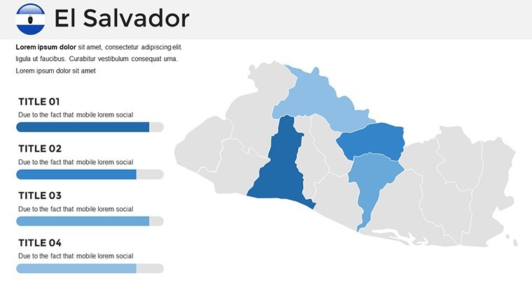
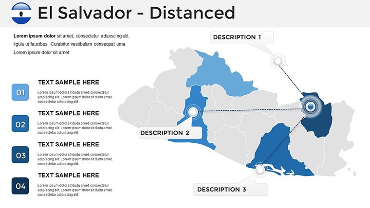
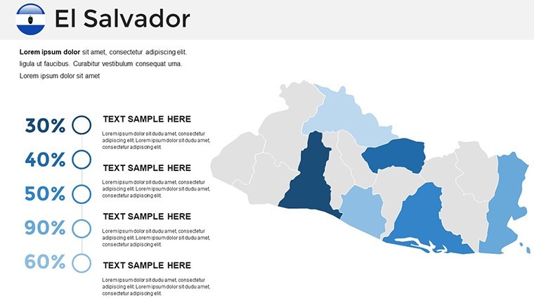
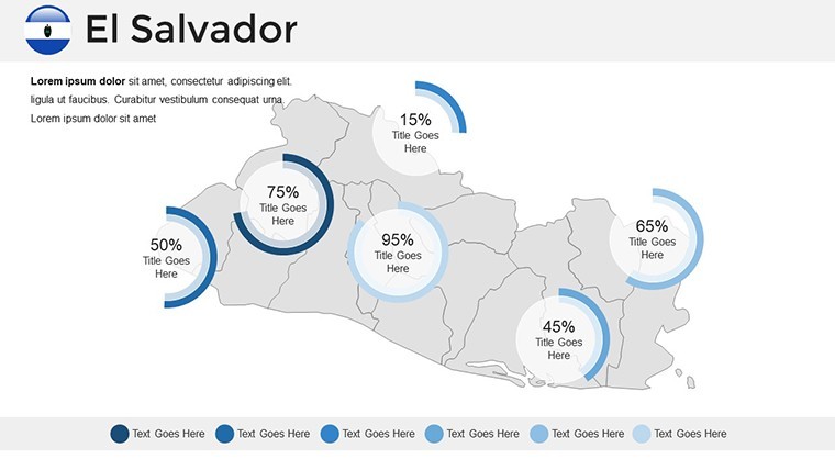
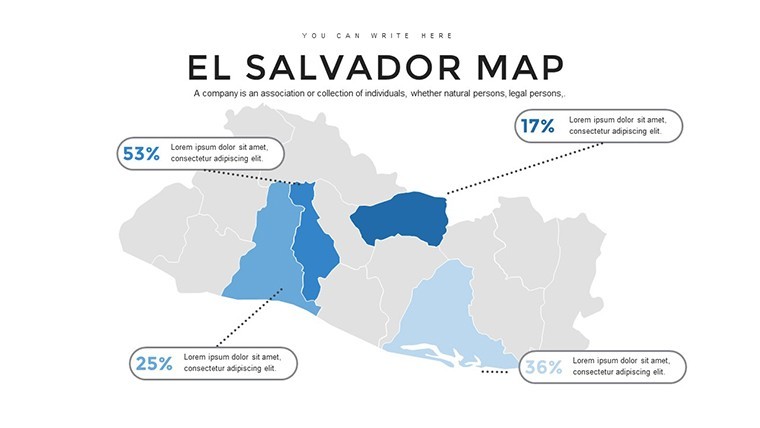
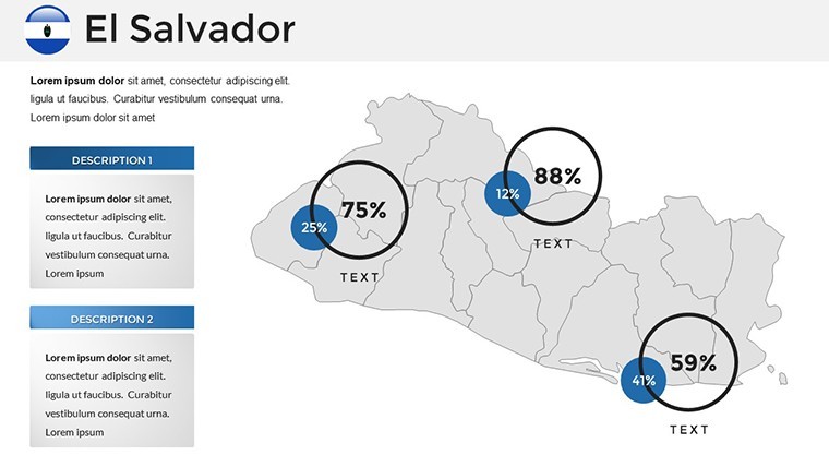
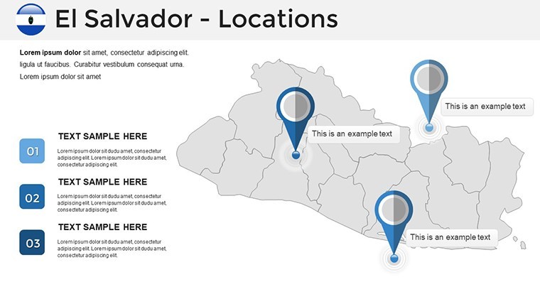
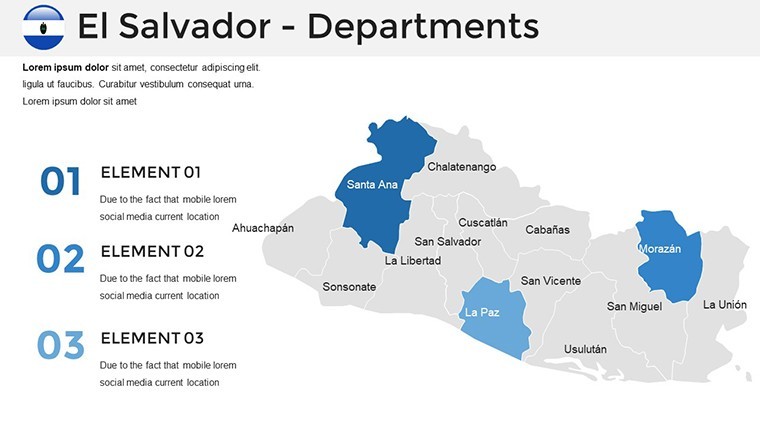
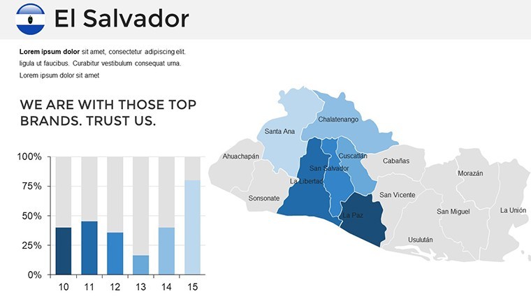
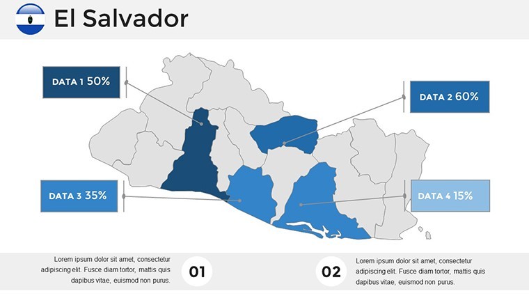
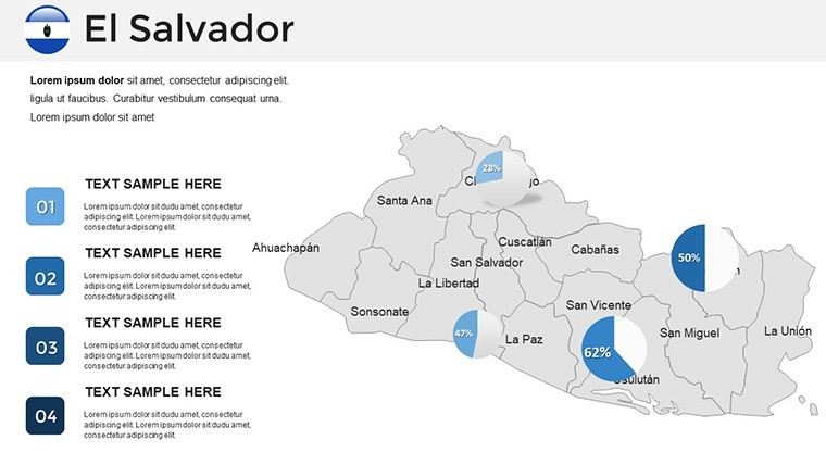
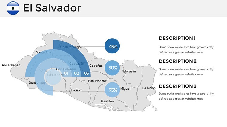
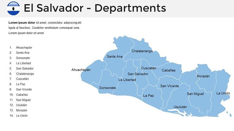
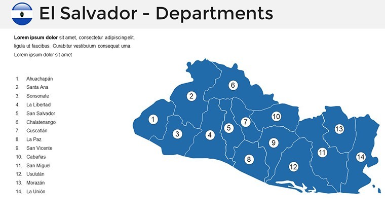
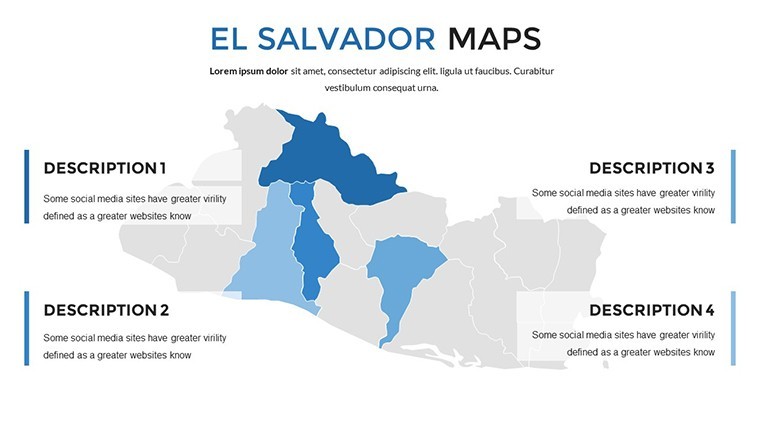
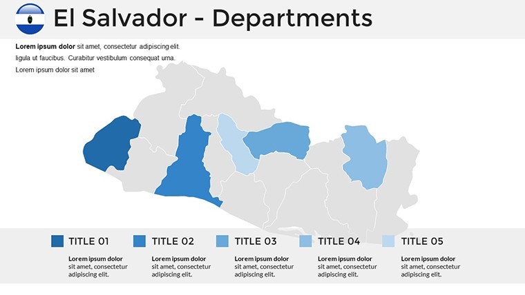
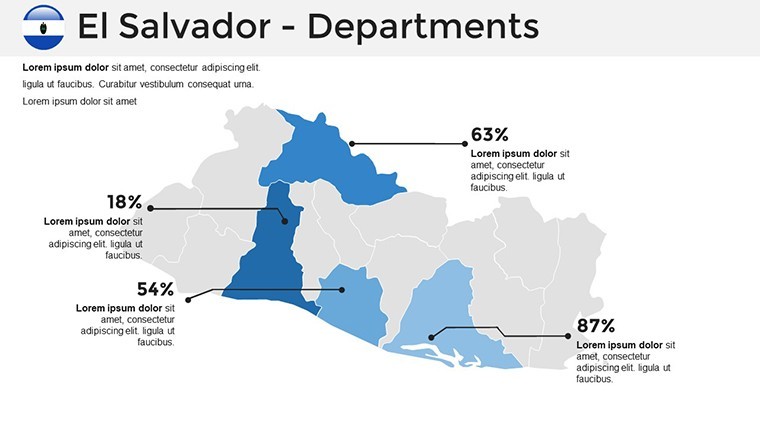
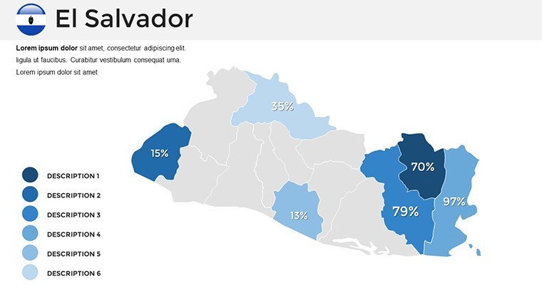
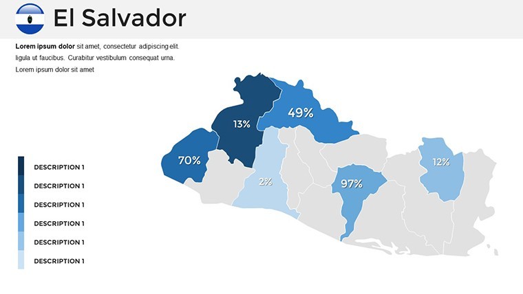
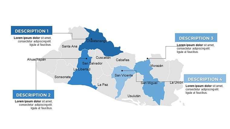
- Regional Breakdowns: Editable maps dividing El Salvador into 14 departments, ideal for policy or market analysis with color-coded data.
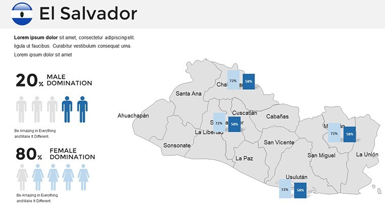
- Topographic and Thematic Views: Switch between physical features and thematic layers like population density, customizable for your dataset.
- Branding and Data Integration: Seamlessly add logos or link to spreadsheets for dynamic charts, ensuring real-time accuracy.
- High-Res Versatility: Designs that excel in print or digital, with options for annotations on key sites like Joya de Cerén.
- User-Friendly Edits: Drag-and-drop simplicity in Keynote, no coding required for pro results.
These features, honed from expert input, make the template a go-to for demanding users, blending functionality with aesthetic appeal.
Practical Uses: Mapping Success in Various Fields
Consider a business pitch where you map out coffee export routes from Ahuachapán, using infographics to show yield stats - echoing strategies from Starbucks' supply chain visuals. Educators can animate migration patterns for social studies, boosting interactivity as per UNESCO's digital learning guidelines. Government reports gain gravitas with overlaid infrastructure plans, like highways or renewable energy sites, drawing from real initiatives by the Ministry of Economy. Marketers targeting tourism might highlight beaches in La Unión, with embedded photos driving conversions similar to successful campaigns by Visit El Salvador. Researchers analyzing seismic activity can layer fault lines on maps, citing data from the USGS for authority. Address common challenges: Combat info fatigue with clean designs, ensure mobile compatibility for field use, and incorporate feedback loops via shared Keynote files. Handy tip: Use gradients to represent elevation, adding depth without complexity - like a subtle nod to El Salvador's 'Land of Volcanoes.'
Seamless Implementation: Your Guide to Mastery
- Secure and Start: Purchase for immediate .KEY download; launch in Keynote on your Apple device.
- Choose Your Map Style: Select from simplified overviews or detailed breakdowns based on your objective.
- Personalize Data: Input figures via tables, adjusting visuals to highlight trends like urban growth.
- Add Engaging Elements: Incorporate images of pupusas or ruins for cultural context.
- Finalize and Deliver: Test animations, export options, and present with confidence.
This integration fits into workflows like collaborative editing in iWork, trusted by pros for efficient outputs.
Advanced Strategies for El Salvador Map Mastery
Elevate further by combining maps with timelines for historical overviews, such as post-civil war development, inspired by World Bank reports. Limit to essential data per slide to maintain focus - aim for visuals that tell the story at a glance. Build trust with citations, like referencing Salvadoran census data. For urban planning ties, use these for zoning visualizations, compliant with sustainable practices from the Inter-American Development Bank. A touch of wit: "Why map El Salvador? Because even volcanoes need a plan - don't let your presentation erupt chaotically!" Thousands rely on such templates for their reliability, turning raw info into influential narratives. Wrap up powerfully: "Chart your course with El Salvador maps - download and dominate your domain today."
Take the leap; acquire our El Salvador Keynote maps and map out success in every presentation.
Frequently Asked Questions
How do I edit the regional maps?Use Keynote's shape tools to modify boundaries, colors, and labels effortlessly for tailored results.Is conversion to PowerPoint possible?Yes, export to PPTX with minor tweaks, maintaining most features for cross-platform use.What ensures the data's reliability?Based on verified geographic sources, providing a solid foundation for your additions.Suitable for commercial projects?Yes, fully licensed for business, marketing, and professional applications.Can I add custom graphics?Absolutely, drag in your images or icons to enhance the template's base designs.Are there animation options included?Pre-set transitions available, customizable for smooth, engaging flows.Good for
- Project roadmaps and sprint plans
- Product launch timelines
- Quarterly or annual review decks
- Company history and milestone summaries
Licence
reviews
Downloaded this in a rush before a team meeting.
The layout was easy to understand and the maps looked clean.
A few slides had too much text already inside placeholders.
I mostly used the route graphics and removed the rest.
Worked okay for what I needed.
FAQ
Will it work in Google Slides?
Are fonts embedded?
Can I use this for client work?
What's the refund policy?
Do you update the template after purchase?
Similar templates
See all Keynote Maps →
All 36 slides