 Click to zoom
Honduras Keynote Maps Template: Navigate Data with Precision
| Format | .pptx |
| Slides | 36 unique layouts |
| Aspect ratio | 16:9 |
| Compatibility | PowerPoint |
| Animated | No |
| Language | English |
| License | Commercial |
| File size | — |
| Version | v1.0 |
| Last updated | July 2021 |
What's inside
Envision mapping out market opportunities across the Bay Islands or tracing tourism trends from Tegucigalpa to the Copán ruins - all within a sleek, editable Keynote deck that turns geographic complexity into compelling narratives. Our Honduras Keynote Maps Template is your compass for presentations that demand clarity and impact, whether you're a business analyst charting expansion paths or an educator illuminating Central American heritage.
Crafted for those who present on regional dynamics, this template offers 36 slides packed with vector-based maps, symbols, and diagrams that adapt to your story. From political boundaries to thematic overlays, every element invites customization: recolor departments to spotlight economic hotspots, resize icons for demographic markers, or layer grids for precise data plotting. It's more than a map - it's a strategic tool that aligns visuals with your objectives, compatible with Keynote's intuitive interface for Mac users.
The beauty lies in its versatility: no steep learning curve, just immediate value. Swap fonts to match your corporate style, adjust tick marks on axes for analytical depth, or integrate photos of Roatán's reefs to breathe life into travel pitches. Designed to withstand scrutiny in boardrooms or classrooms, it ensures your Honduras-focused insights land with authority and elegance.
Essential Features That Map Your Success
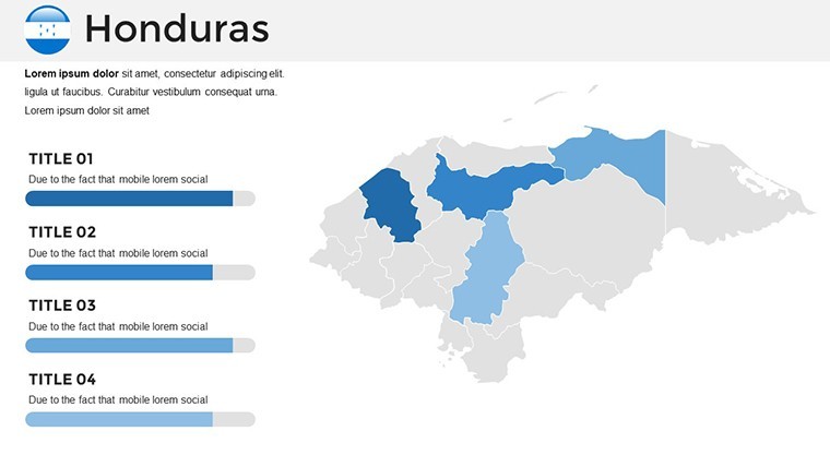
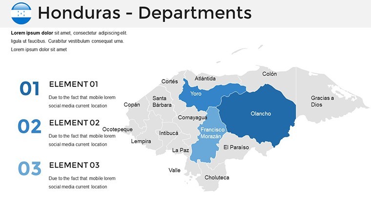
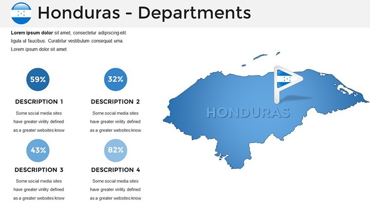
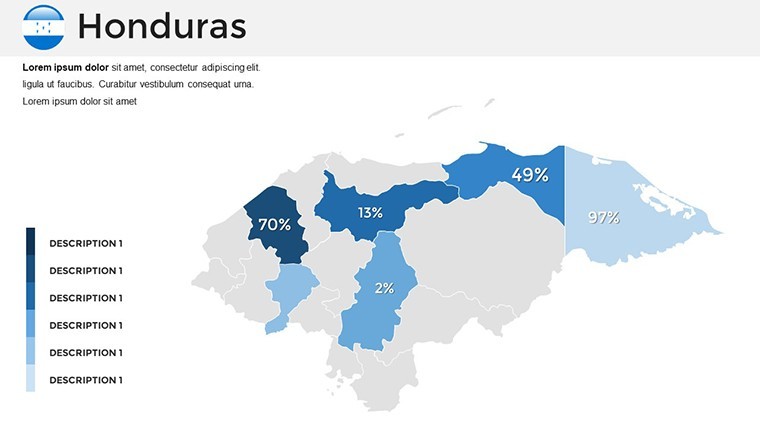
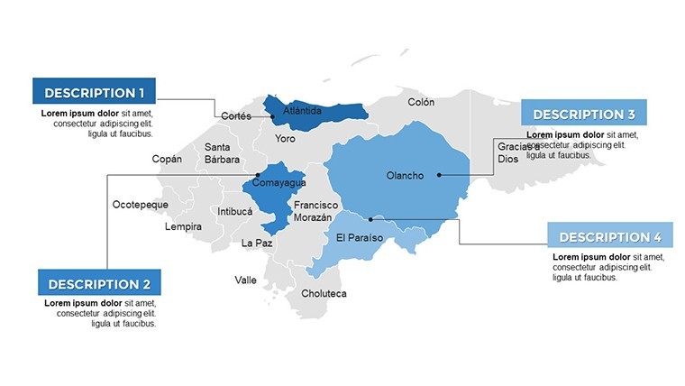
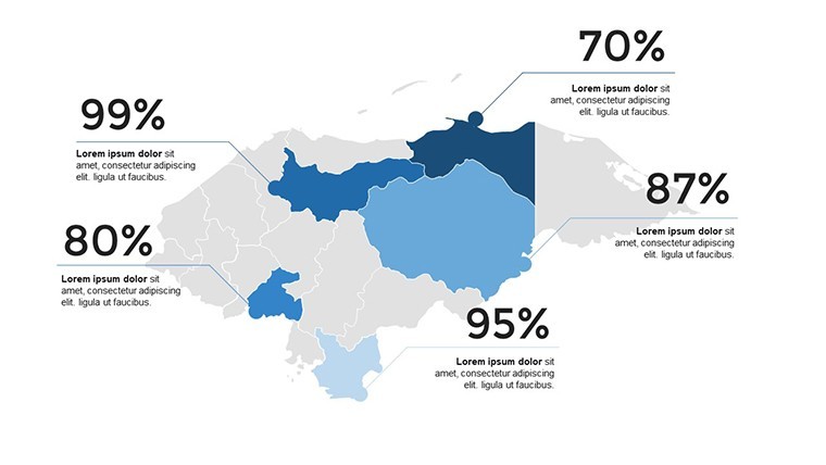
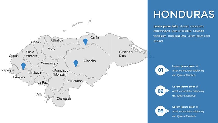
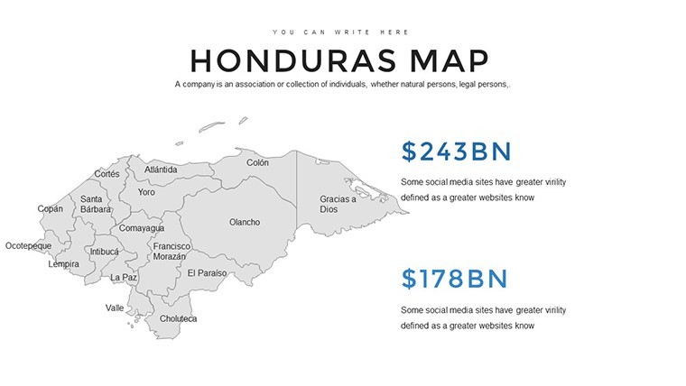
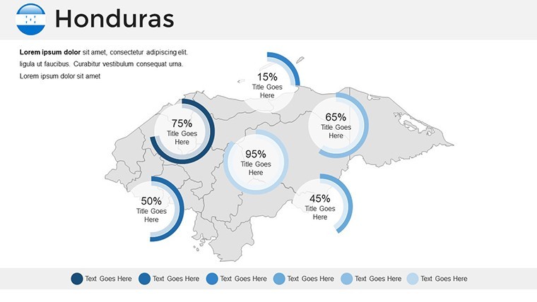
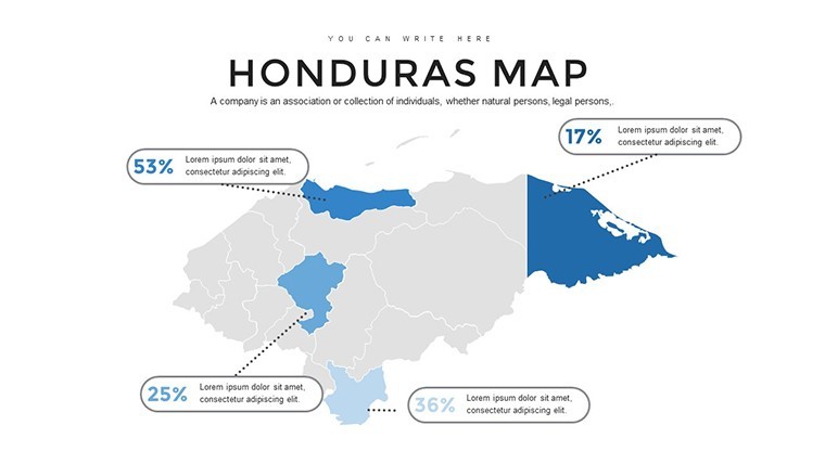
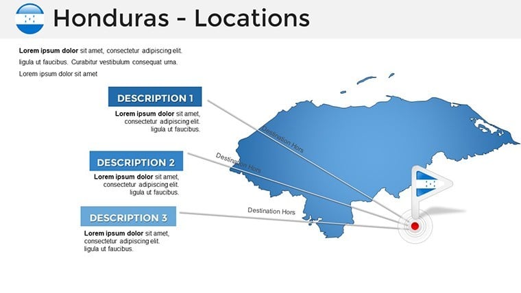
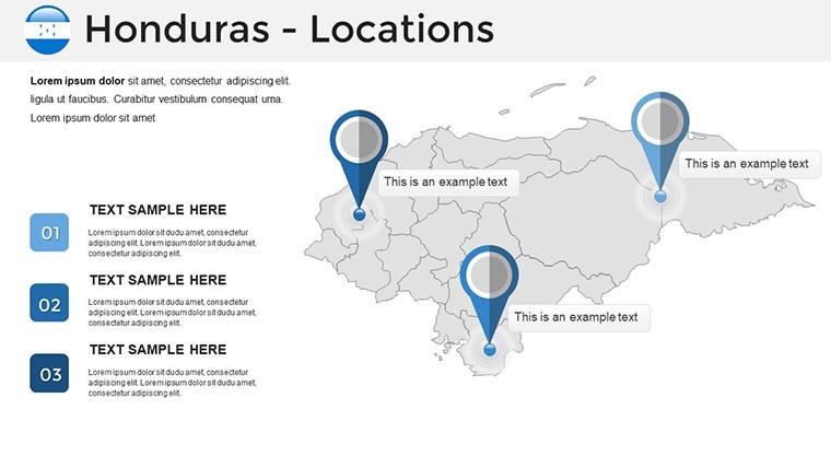
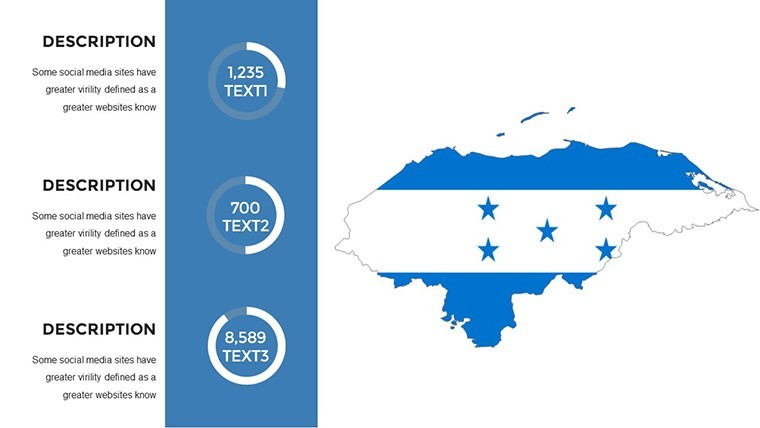
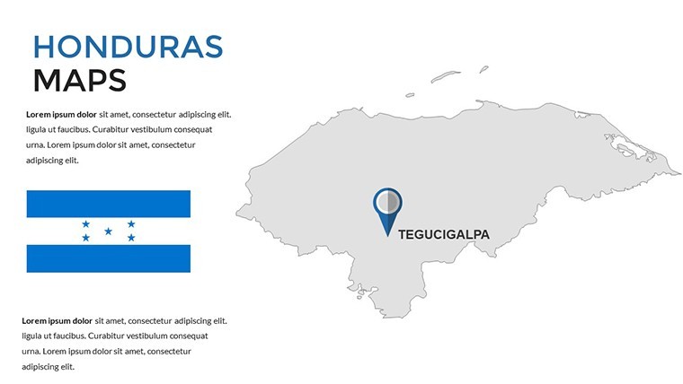
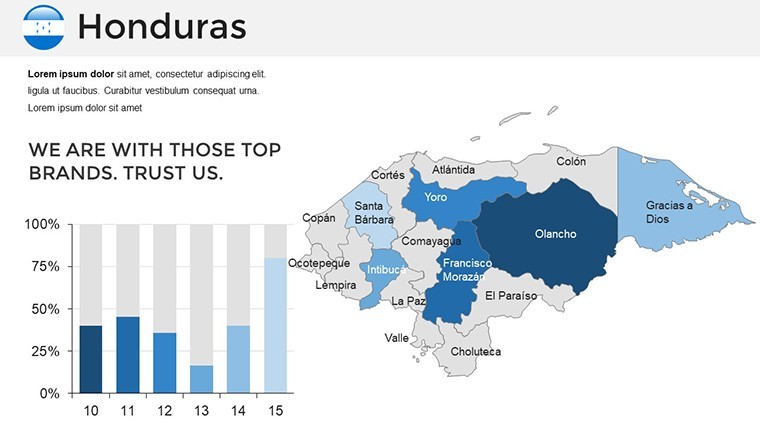
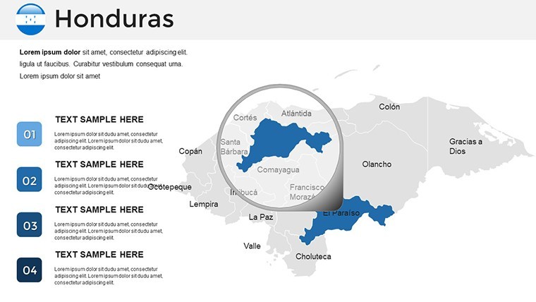
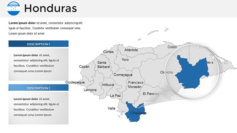
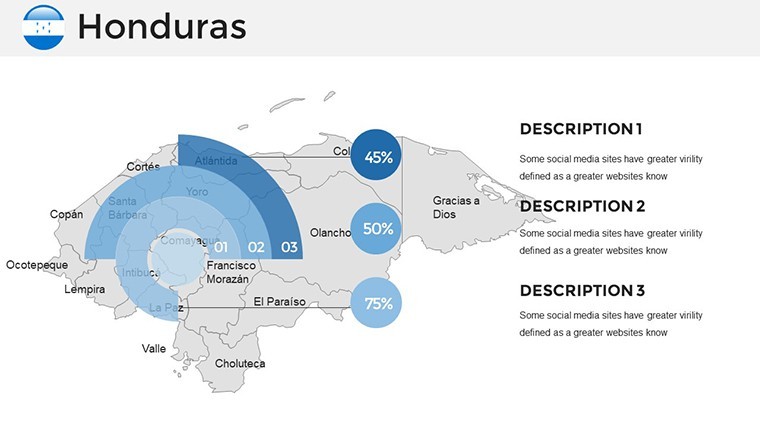
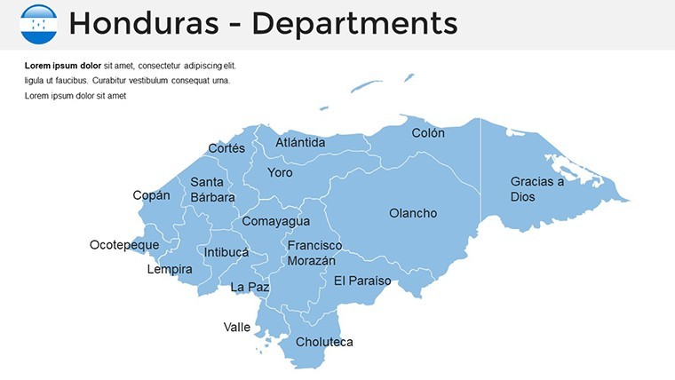
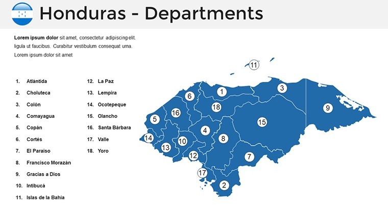
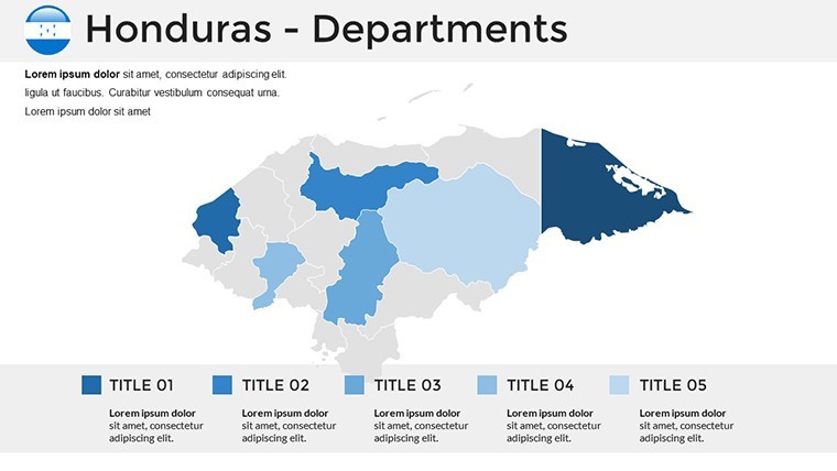
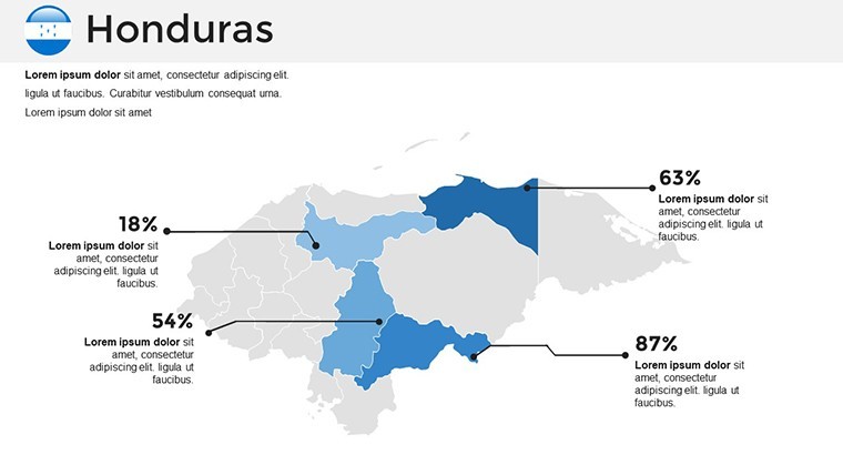
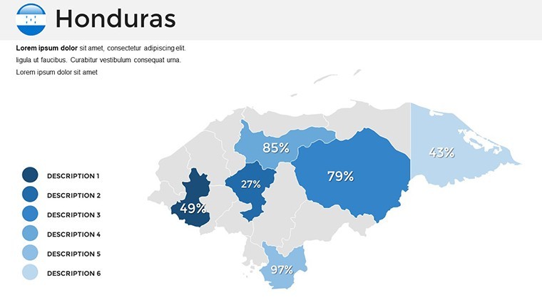
Delve into the toolkit that makes this template indispensable. The core map slide features Honduras in high-resolution detail, with each of the 18 departments outlined and labeled - perfect for zoning in on agriculture in Olancho or ports in Cortés. Vector symbols, from flags to compasses, stretch flawlessly, maintaining sharpness for printed reports or projected displays.
- Customization Controls: Tweak colors for thematic emphasis, like greens for eco-tourism zones, or add legends that auto-update with your edits.
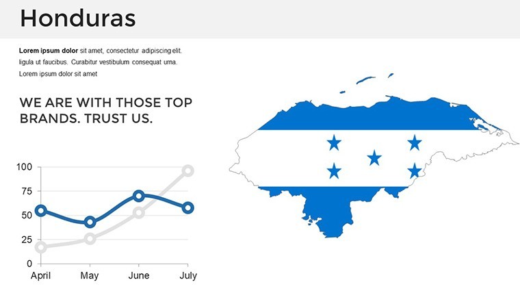
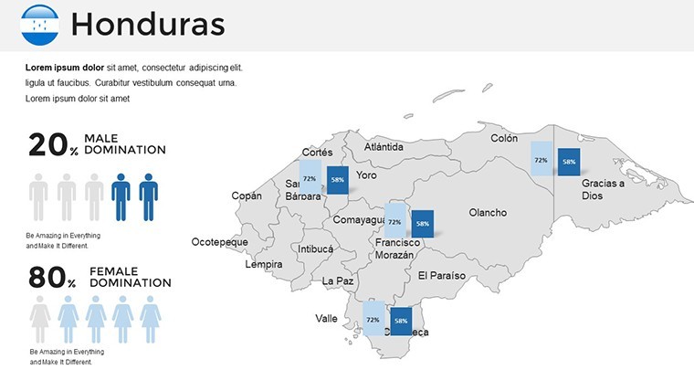
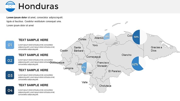
- Diagram Integration: Beyond maps, include 20+ supporting visuals - pie charts for population distribution or line graphs tracking GDP growth by region.
- Layout Flexibility: Portrait or landscape orientations, with master slides that enforce consistency across your deck.
These features aren't bells and whistles; they're built for efficiency. A travel agency rep might highlight dive sites with pinpoint markers, while an NGO coordinator overlays aid distribution paths, all without redrawing from zero.
Step-by-Step: Building Your Honduras Presentation
- Import and Inspect: Open the .key file in Keynote, scan the 36 slides to identify base maps and data placeholders.
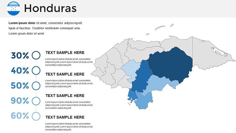
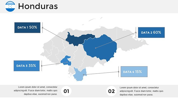
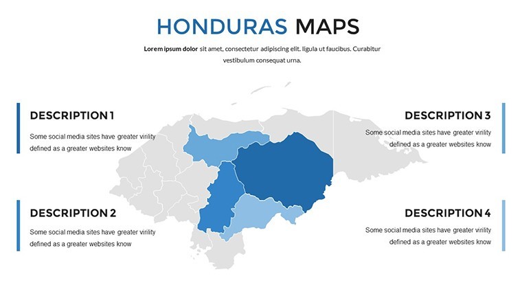
- Layer Your Insights: Select a department, apply fills based on metrics - say, warmer tones for high-investment areas.
- Enhance with Elements: Drag in symbols for key locations, like a hotel icon for tourism hubs, and annotate with concise text boxes.
- Finalize Flow: Sequence slides logically - from overview to deep dives - adding subtle animations to reveal layers progressively.
This process streamlines what could be a weekend project into an afternoon achievement, freeing you to refine your spoken narrative.
Targeted Use Cases: From Boardrooms to Lecture Halls
For business developers eyeing Central American trade, this template transforms dry reports into dynamic overviews. Use bubble maps to size opportunities by department revenue, or flowcharts linking San Pedro Sula's industries to global supply chains. It's like having a custom GIS tool at your fingertips, minus the software hassle.
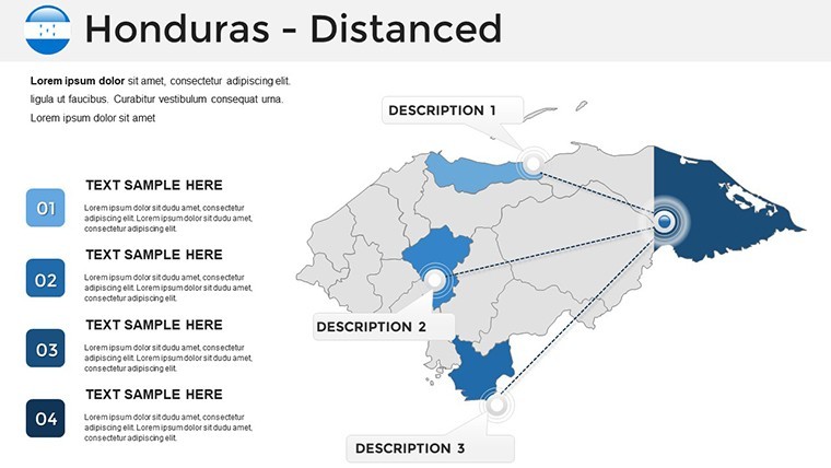
Educators will appreciate the cultural depth: slides dedicated to Mayan sites in Copán become interactive timelines, pulling students into history with zoomable details. Travel pros craft itineraries visually - path diagrams from beaches to highlands, complete with distance annotations that sell the adventure.
Even environmental advocates find resonance: overlay conservation zones on base maps, using bar overlays to contrast deforestation rates, turning data into a call for action. A real-world echo? Consultants at firms like Deloitte have adapted similar decks for regional strategy sessions, noting how geographic visuals clarify cross-border nuances.
Advanced Tip: Thematic Overlays for Storytelling
Elevate engagement by creating overlay slides: duplicate a base map, then mask sections with semi-transparent shapes tied to themes like biodiversity. Animate reveals to guide viewers, much like unveiling a treasure map - keeping the focus sharp and the story unfolding naturally.
Standing Out Against Standard Mapping Tools
Why settle for generic Google Earth exports when this template offers native Keynote polish? Standard tools often export raster images that blur on resize; here, vectors ensure scalability. Plus, integrated diagrams mean no hunting for compatible assets - everything harmonizes.
For $58, you're investing in a reusable asset that pays dividends per use, from quarterly reviews to annual reports. Customize your Honduras insights now and chart a course to more persuasive presentations.
Frequently Asked Questions
Are the maps fully vector-based?Yes, all elements are vectors, allowing distortion-free resizing and editing in Keynote.
Can I add my own data layers?Absolutely - import CSV for auto-populated charts or manually adjust shapes for custom boundaries.
Is it suitable for print materials?High-resolution exports to PDF preserve detail for handouts or posters.
How many departments are detailed?All 18 Honduran departments are pre-labeled and editable individually.
Does it include icons for specific industries?Yes, a library of 50+ symbols covers tourism, agriculture, and more.
Good for
- Project roadmaps and sprint plans
- Product launch timelines
- Quarterly or annual review decks
- Company history and milestone summaries
Licence
reviews
I had a school assignment about trade routes and these maps helped a lot.
The slide design was simple but not boring.
A few elements needed resizing after import.
Good option if you need editable map layouts quickly.
The arrows and highlighted regions looked clear during presentation.
FAQ
Will it work in Google Slides?
Are fonts embedded?
Can I use this for client work?
What's the refund policy?
Do you update the template after purchase?
Similar templates
See all Keynote Maps →
All 36 slides