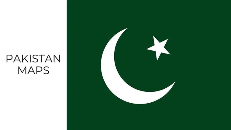
 Click to zoom
Pakistan Keynote Map Template: Visualize South Asia's Dynamics
| Format | .pptx |
| Slides | 37 unique layouts |
| Aspect ratio | 16:9 |
| Compatibility | PowerPoint |
| Animated | No |
| Language | English |
| License | Commercial |
| File size | — |
| Version | v1.0 |
| Last updated | October 2021 |
What's inside
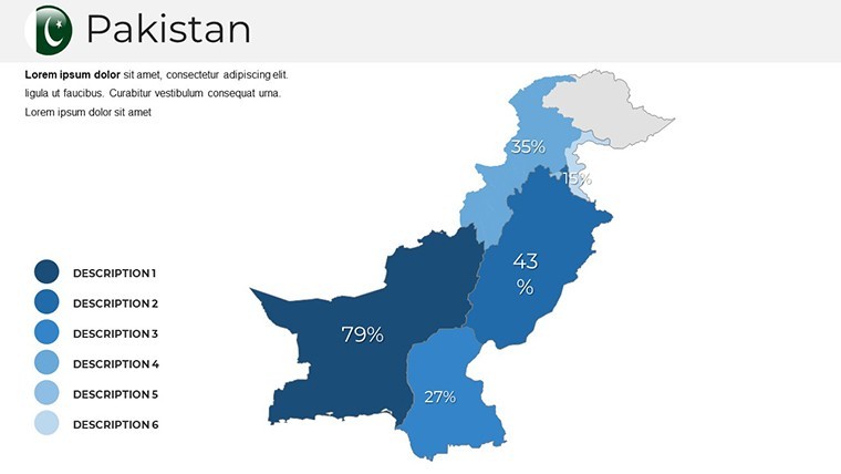
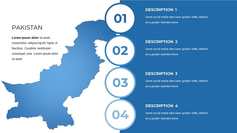
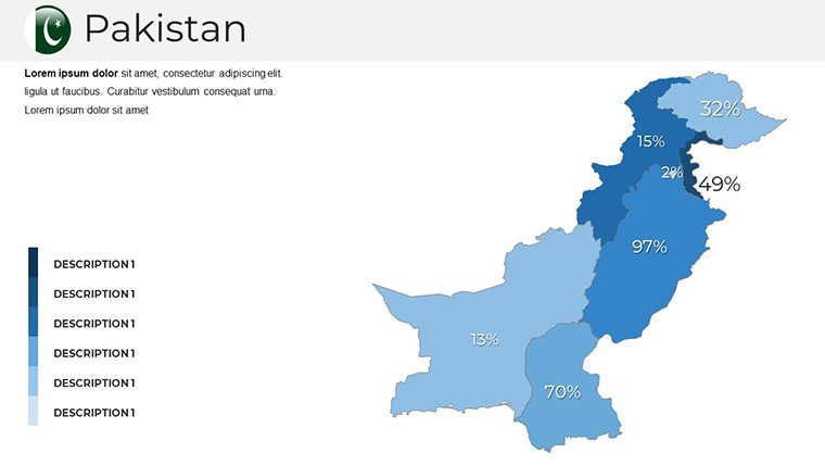
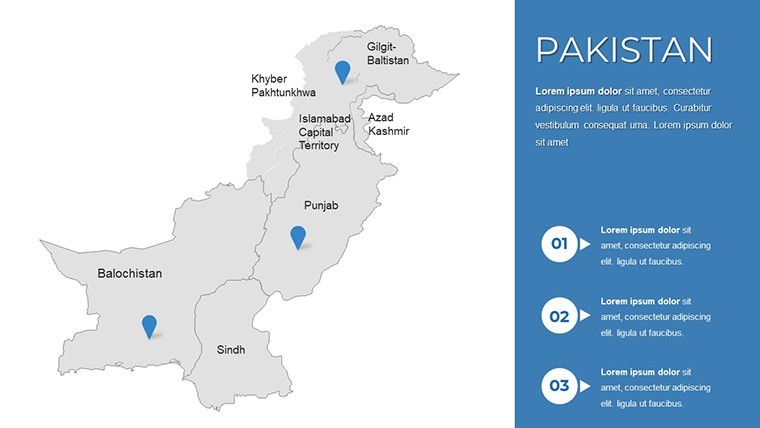
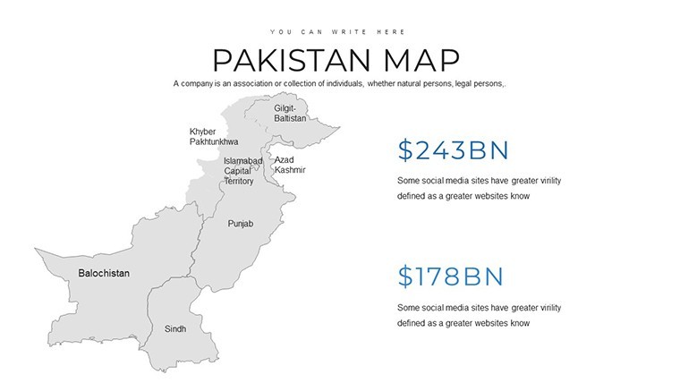
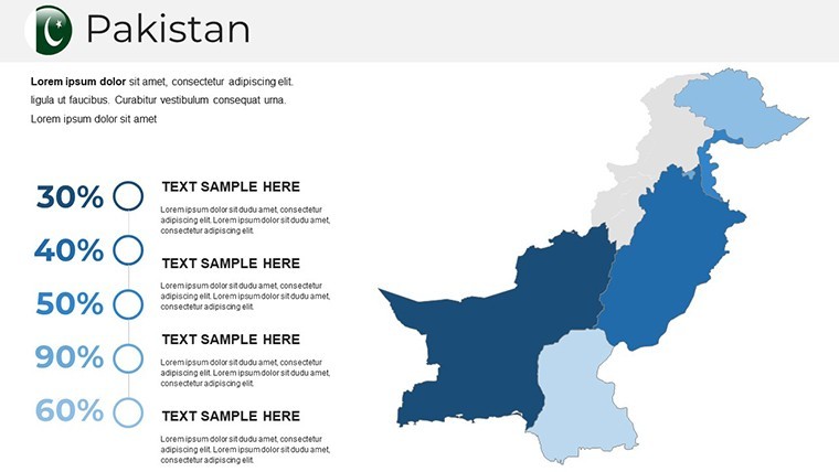
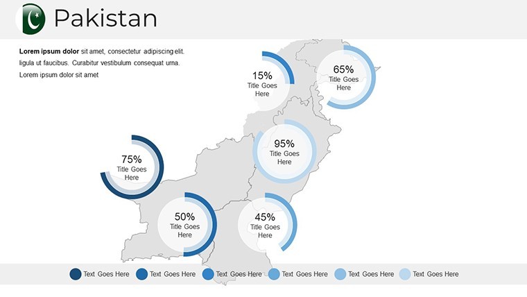
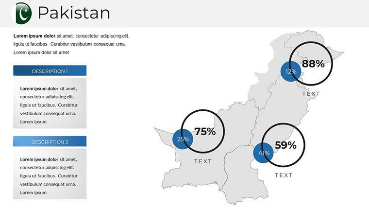
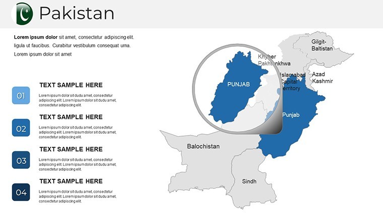
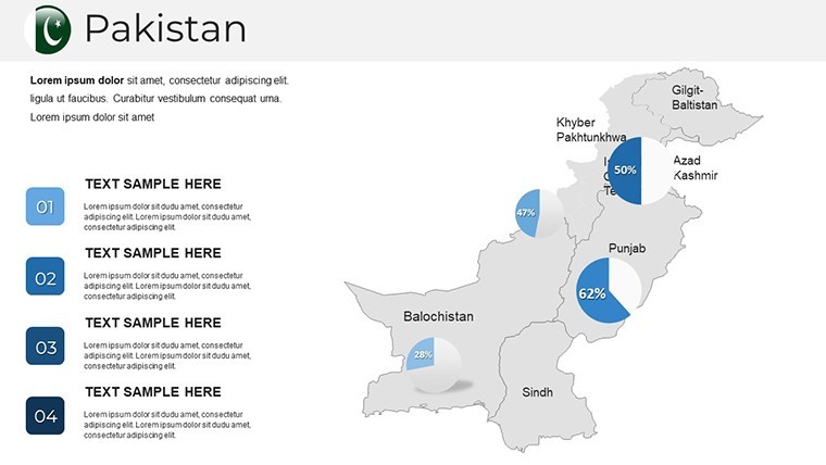
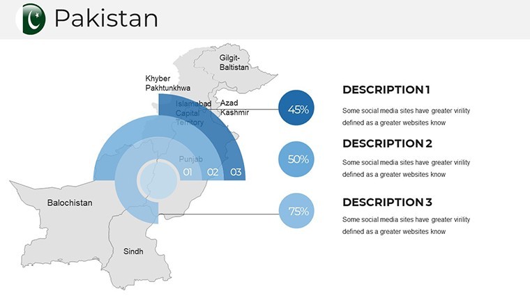
Imagine transforming complex geographical data into compelling visual stories that captivate your audience. The Pakistan Keynote Map Template is your gateway to creating professional presentations that highlight the intricate landscapes and strategic regions of Pakistan. With 37 fully editable slides, this template is designed for professionals in business, education, and geography who need to convey spatial insights with precision and flair. Whether you're preparing a market analysis for the bustling ports of Karachi or outlining urban development plans across Punjab's fertile plains, these maps turn raw data into narrative powerhouses.
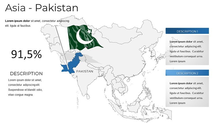
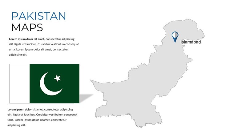
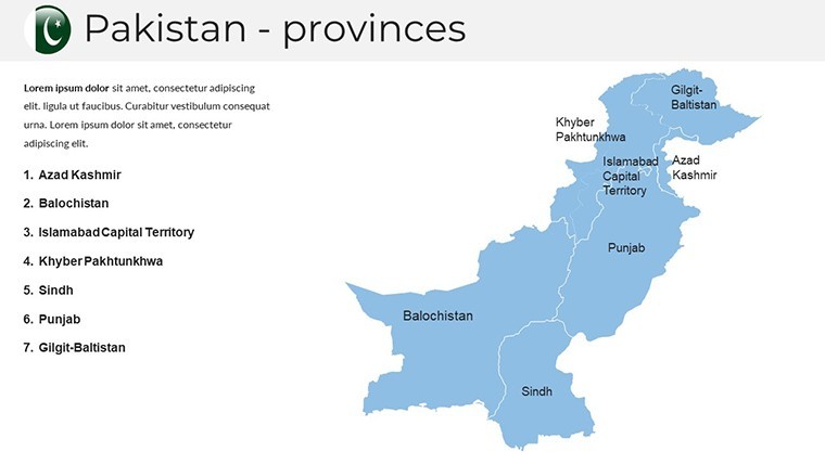
Pakistan, nestled in southern Asia and bordered by the Arabian Sea, boasts diverse terrains from the towering Karakoram mountains to the vast Thar Desert. This template captures that essence, offering vector-based political maps that you can tweak without losing quality. Architects and urban planners will appreciate the detailed state boundaries, while economists can layer in demographic data for deeper analysis. Compatible with Apple Keynote, it's optimized for wide-screen displays, ensuring your visuals pop during board meetings or classroom sessions. Say goodbye to clunky, generic charts - embrace customizable elements that align with your brand's aesthetic, saving hours of design time.
Unlocking the Power of Editable Political Maps
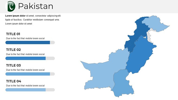
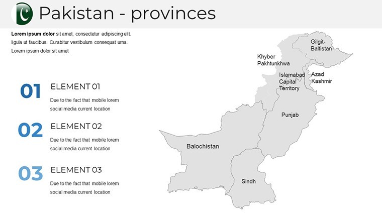
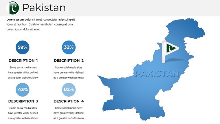
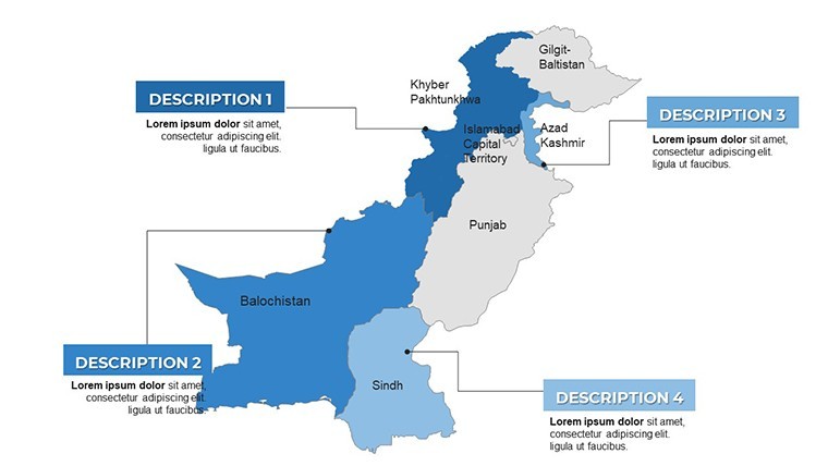
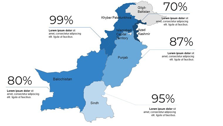
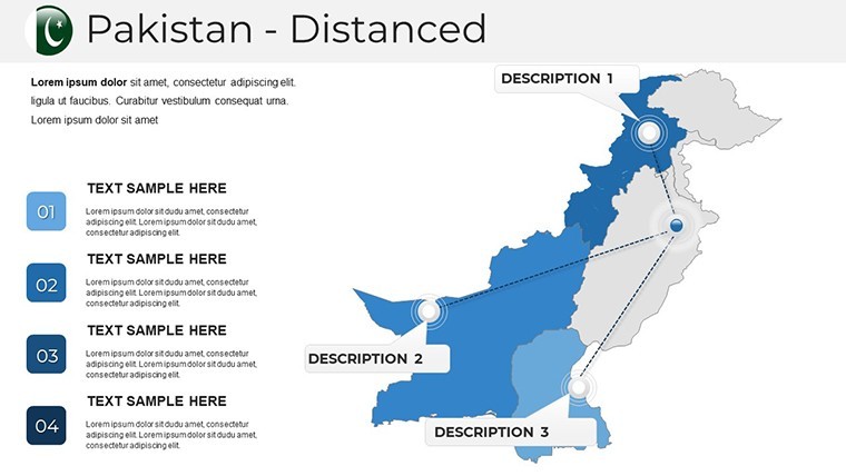
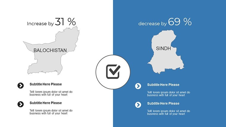
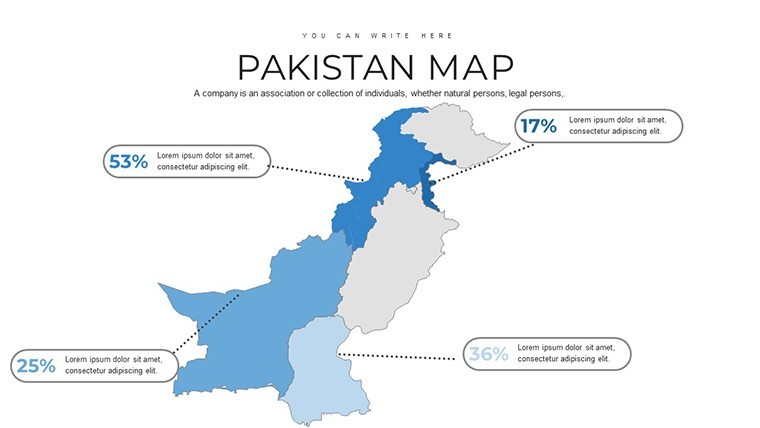
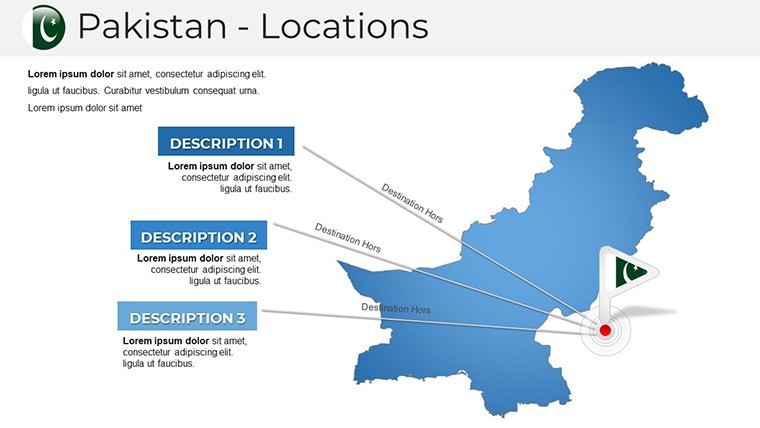
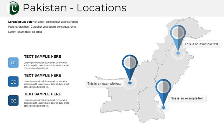
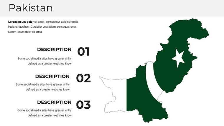
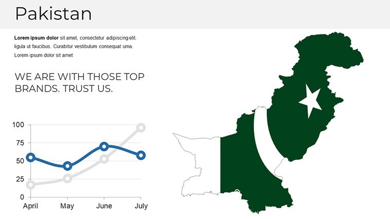
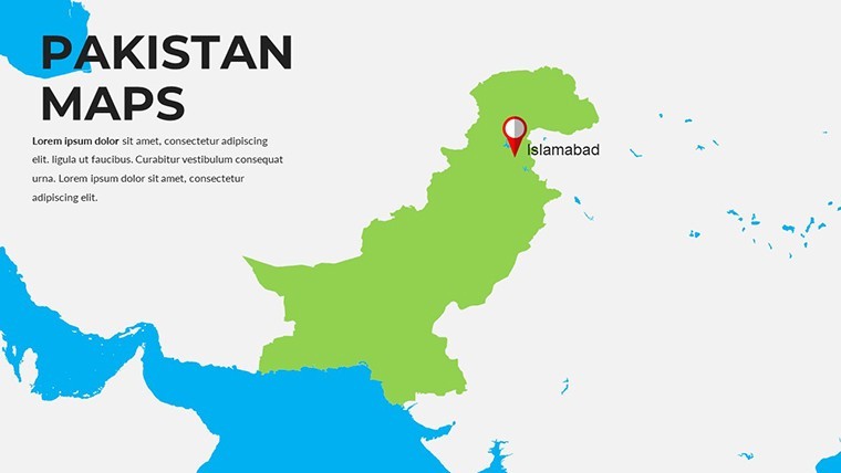
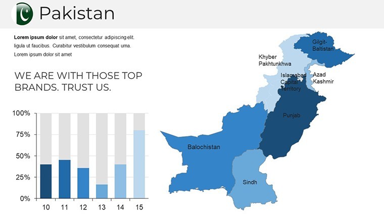
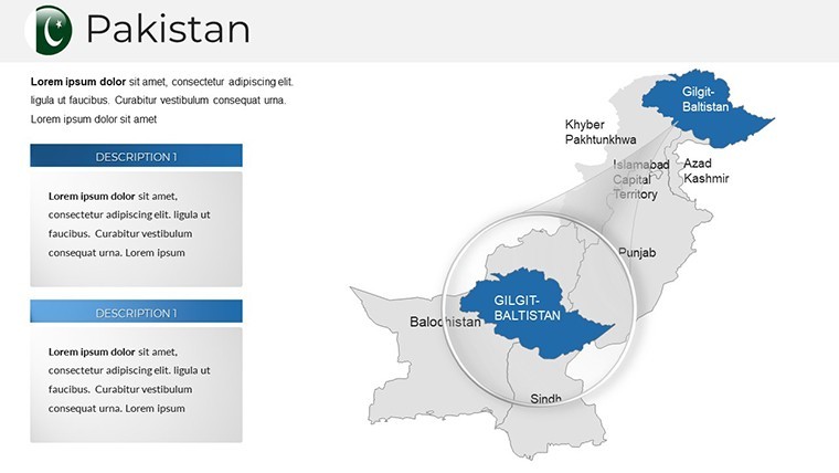
At the heart of this template are its editable political maps of Pakistan, meticulously crafted for seamless integration into your workflow. Each slide features high-resolution vectors, allowing you to resize, recolor, or reshape elements like provinces and cities effortlessly. For instance, highlight the economic hubs of Lahore and Islamabad with custom gradients or add icons for trade routes snaking through Balochistan. This isn't just a map; it's a storytelling tool that enhances comprehension, making abstract concepts tangible.
Benefits abound: the template's smart objects ensure animations flow smoothly, drawing eyes to key areas like the Indus River valley. Educators can use it to illustrate historical migrations or environmental challenges, while business leaders might overlay sales data to spot growth opportunities in Khyber Pakhtunkhwa. Compared to standard PowerPoint alternatives, Keynote's native support here means faster rendering and crisper exports, ideal for Retina displays.
Customization at Your Fingertips
- Color and Style Mastery: Adjust hues to match corporate palettes - think earthy tones for desert regions or vibrant blues for coastal zones.
- Font and Grid Flexibility: Integrate sans-serif fonts for modern appeal, and toggle grids for precise data plotting.
- Icon Integration: Over 50 themed icons, from agricultural symbols to infrastructure markers, ready to drag and drop.
Workflow tip: Start by duplicating a base slide, then layer in your dataset using Keynote's built-in charting tools. This approach streamlines updates, ensuring your presentation evolves with new insights.
Real-World Applications for Impactful Presentations
Dive into practical scenarios where this template shines. In a recent case study inspired by Pakistan's urban boom, a development firm used these maps to pitch sustainable housing projects in Sindh. By animating population growth overlays, they secured funding that highlighted flood-prone areas with stark clarity. For educators, mapping the Silk Road's legacy through Pakistan's passes engages students, fostering interactive discussions on cultural exchanges.
Business analysts report a 40% boost in audience retention when using visualized data - far surpassing text-heavy slides. Tailor it for tourism pitches, showcasing the northern valleys' allure, or environmental reports on the Himalayan glaciers' retreat. The template's versatility extends to NGO presentations, where mapping aid distribution in remote areas underscores logistical challenges and solutions.
Step-by-Step Guide to Building Your Narrative
- Select Your Focus: Choose slides emphasizing regions like Gilgit-Baltistan for adventure tourism or Punjab for agribusiness.
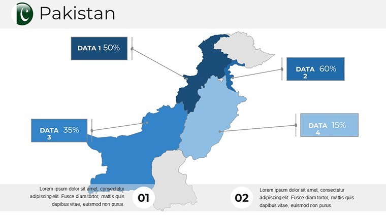
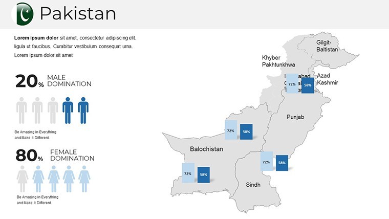
- Layer Data: Import CSV files for heat maps, revealing trends like urbanization rates.
- Add Interactivity: Hyperlink regions to detailed infographics, guiding viewers through your story.
- Refine and Export: Preview on multiple devices, then export as PDF or video for broader sharing.
These steps not only save time but elevate your expertise, positioning you as a thought leader in South Asian affairs.
Why This Template Stands Out in a Crowded Market
Unlike free online maps that pixelate upon editing, this template's vector precision maintains sharpness at any zoom. Drawing from geographic standards like those from the UN's cartographic guidelines, it ensures accuracy in boundaries and projections. Users praise its intuitive interface, reducing the learning curve for non-designers. Integrate with tools like Google Earth for hybrid views, or pair with data viz software for advanced analytics.
For architecture firms, visualize site plans against Pakistan's topography; marketers can segment consumer bases by province. The result? Presentations that don't just inform but inspire action, whether closing deals or sparking debates.
Ready to map out success? Download the Pakistan Keynote Map Template today and craft visuals that resonate. Your audience awaits the clarity only premium designs can deliver.
Frequently Asked Questions
What makes these maps editable in Keynote?
All elements are vector-based, allowing drag-and-drop modifications without quality loss. Simply select and adjust colors, shapes, or text directly in the software.
Can I use this for educational purposes?
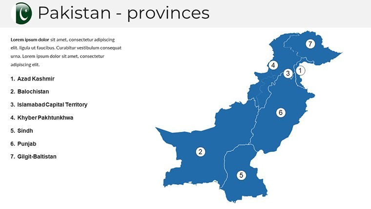
Absolutely - it's perfect for geography lessons, with accurate depictions of Pakistan's 4 provinces and territories, compliant with standard educational maps.
Is the template compatible with older Keynote versions?
Designed for Keynote 11+, but backward-compatible tweaks are straightforward. Check our documentation for tips.
How do I add my own data to the maps?
Use Keynote's chart tools to overlay graphs or import images; the template includes placeholders for seamless integration.
Are there animation options included?
Yes, custom transitions highlight regions sequentially, enhancing flow in your presentation narrative.
What's the file format and size?
Native .key file, optimized at under 50MB for quick loading and easy sharing.
Good for
- Project roadmaps and sprint plans
- Product launch timelines
- Quarterly or annual review decks
- Company history and milestone summaries
Licence
reviews
Not my favorite, the slide structure felt a bit messy but it's free so whatever.
Perfect for my team's Q3 review, especially the comparison charts section.
A bit too basic for what I needed, ended up modifying most of it.
The map graphics look nice but they're not very accurate for smaller regions.
Downloaded this, dropped in my data, and the pie charts updated easily.
FAQ
Will it work in Google Slides?
Are fonts embedded?
Can I use this for client work?
What's the refund policy?
Do you update the template after purchase?
Similar templates
See all Keynote Maps →
All 37 slides