 Click to zoom
Pakistan Map PowerPoint Template: Fully Editable 37-Slide Deck
| Format | .pptx |
| Slides | 37 unique layouts |
| Aspect ratio | 16:9 |
| Compatibility | PowerPoint |
| Animated | No |
| Language | English |
| License | Commercial |
| File size | — |
| Version | v1.0 |
| Last updated | February 2026 |
What's inside
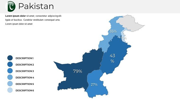
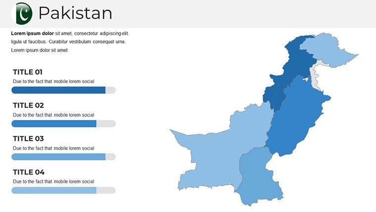
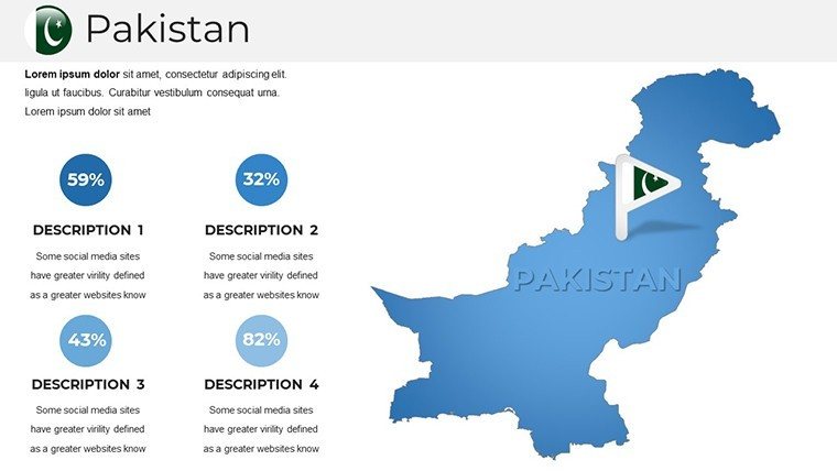
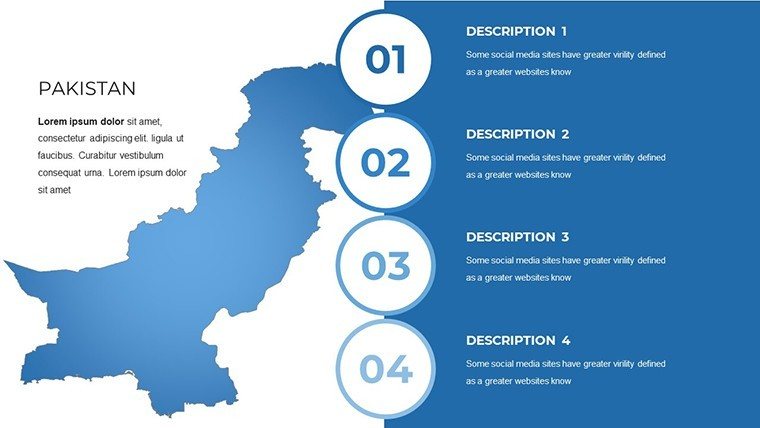
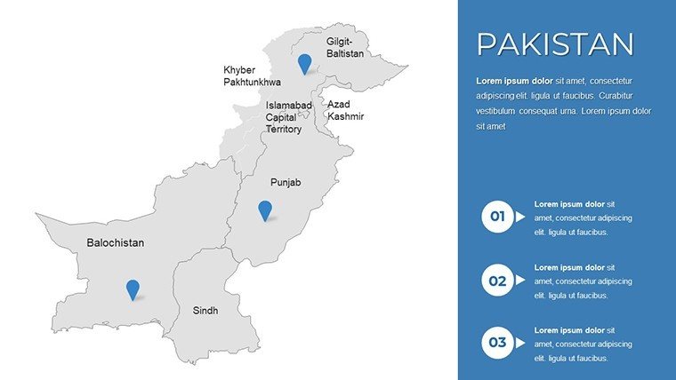
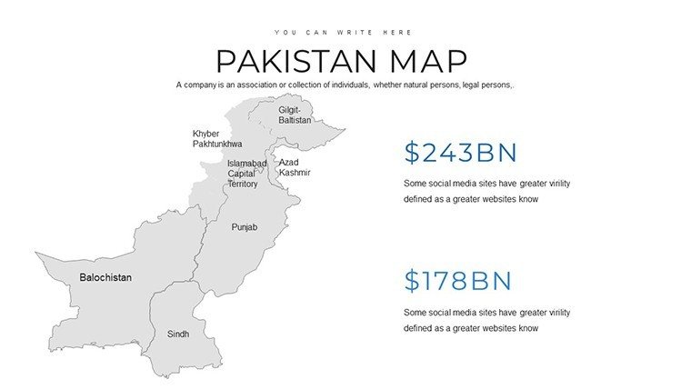
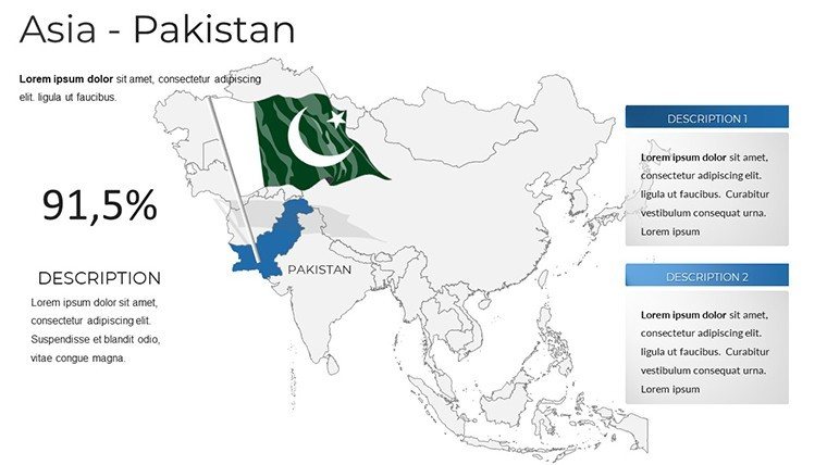
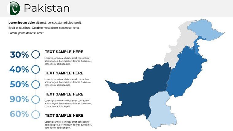
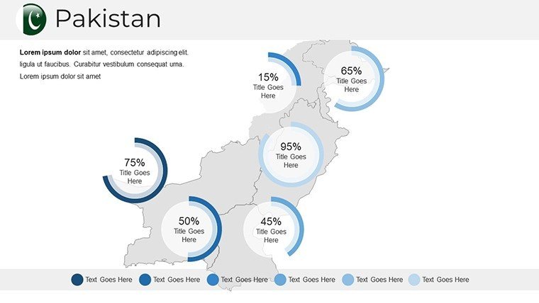
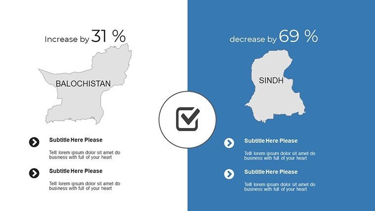
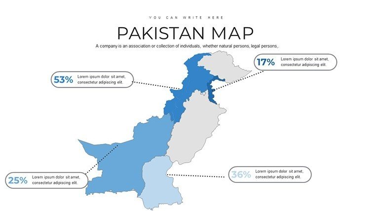
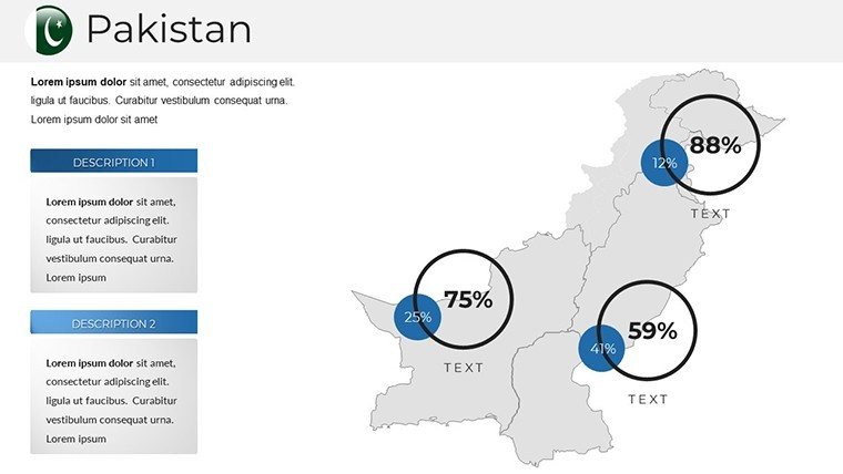
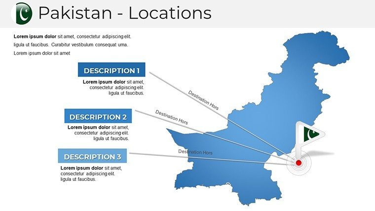
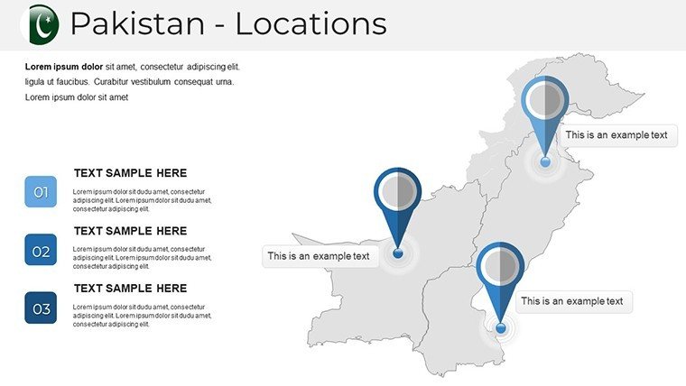
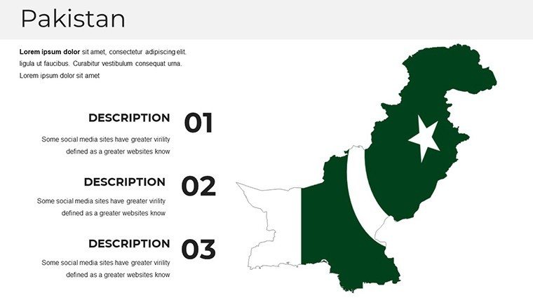
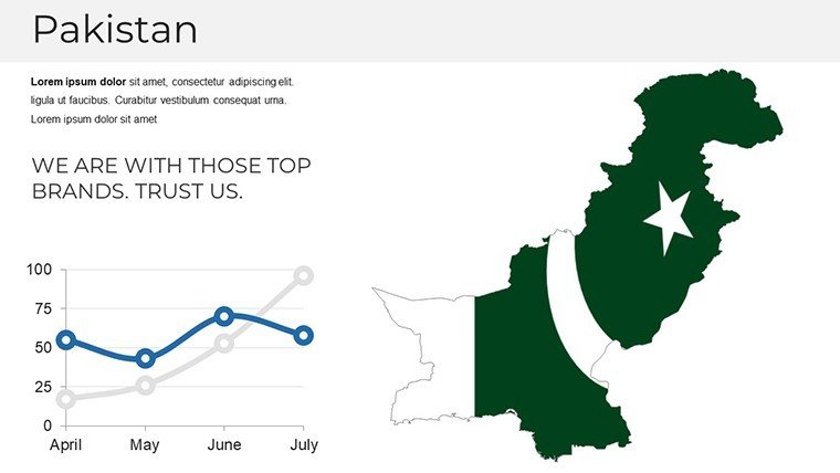
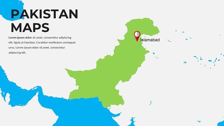
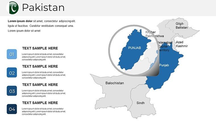
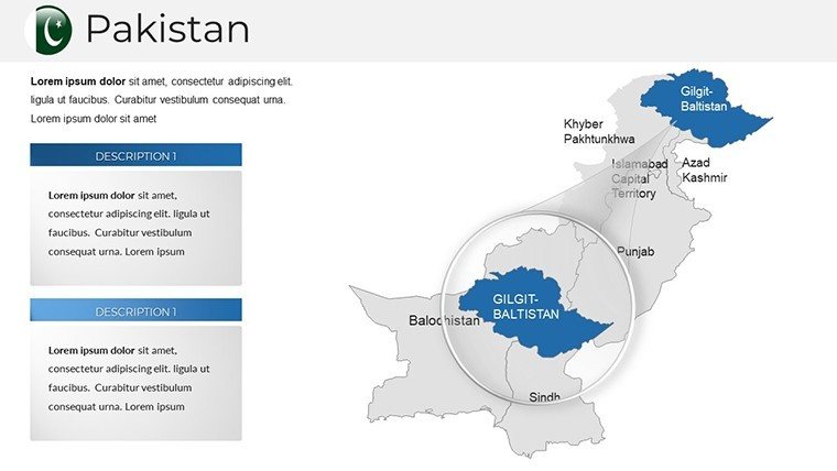
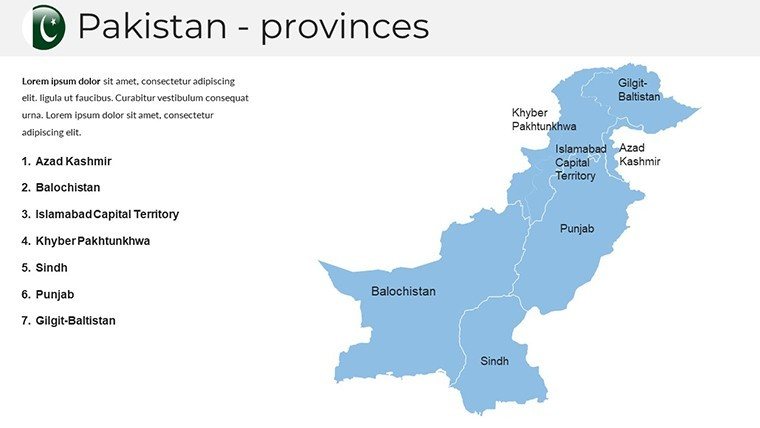
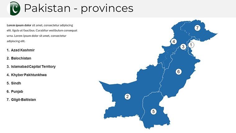
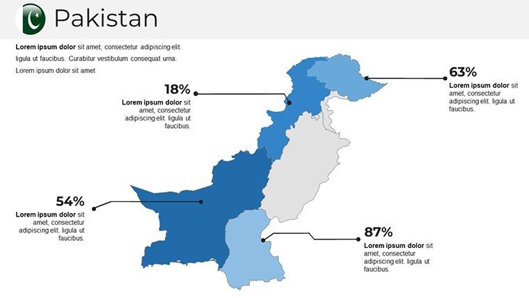
Presenting geographical data or regional strategies requires a high level of precision and visual clarity. This Pakistan PowerPoint Map Template is a professional-grade toolkit designed for executives, researchers, and project managers who need to visualize insights across South Asia. Whether you are outlining CPEC infrastructure projects, mapping out supply chain routes from Karachi to Islamabad, or presenting provincial demographic shifts, these 37 editable slides provide the framework for a high-impact presentation.
Versatile Applications for Professional Use Cases
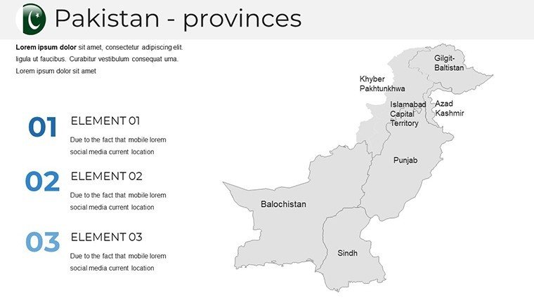
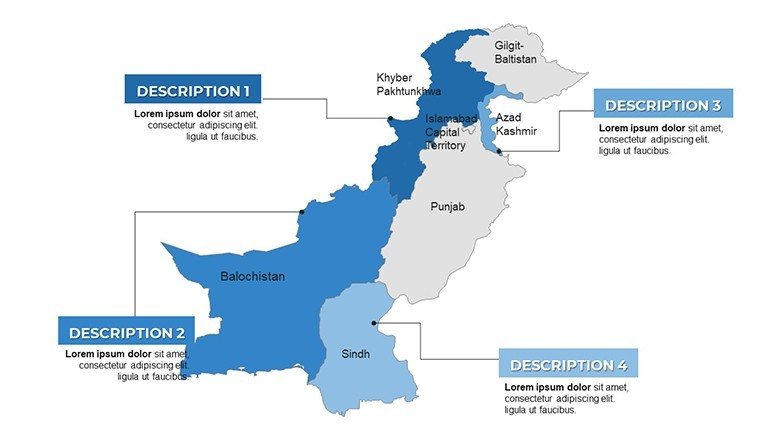
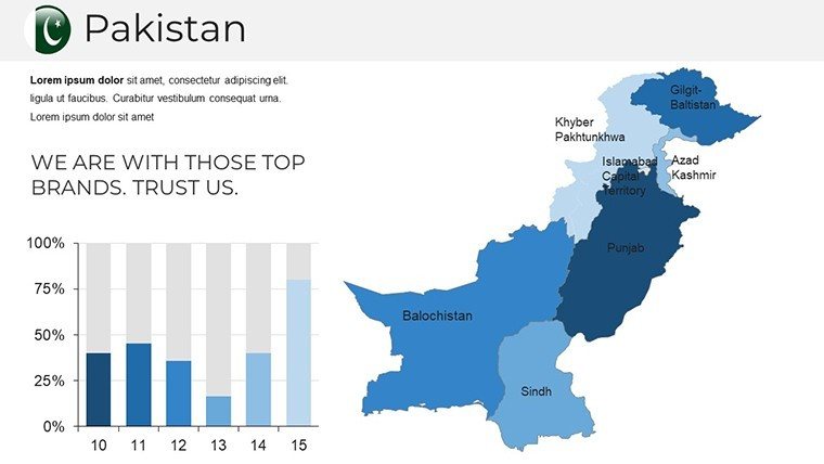
- Corporate Expansion: Visualize market penetration and regional sales territories across Punjab, Sindh, Khyber Pakhtunkhwa, and Balochistan.
- Policy & Logistics: Designate specific economic zones, ports like Gwadar, or infrastructure corridors for government briefings and stakeholder meetings.
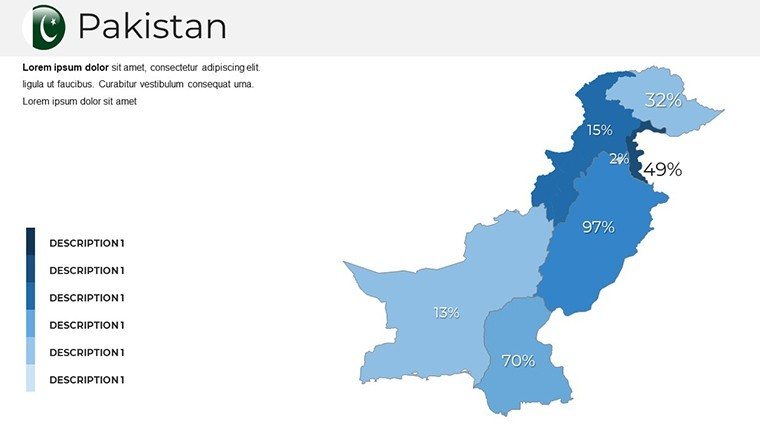
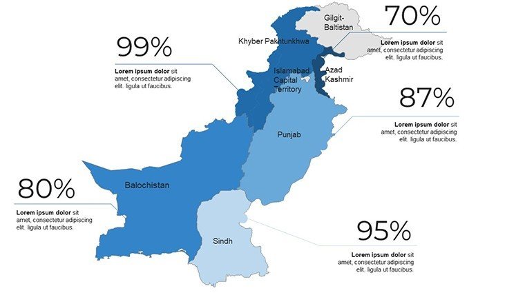
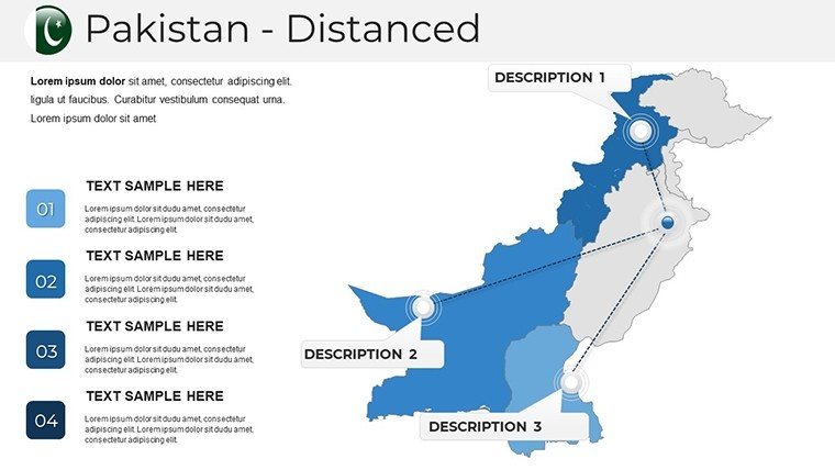
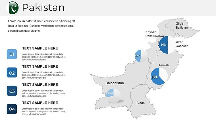
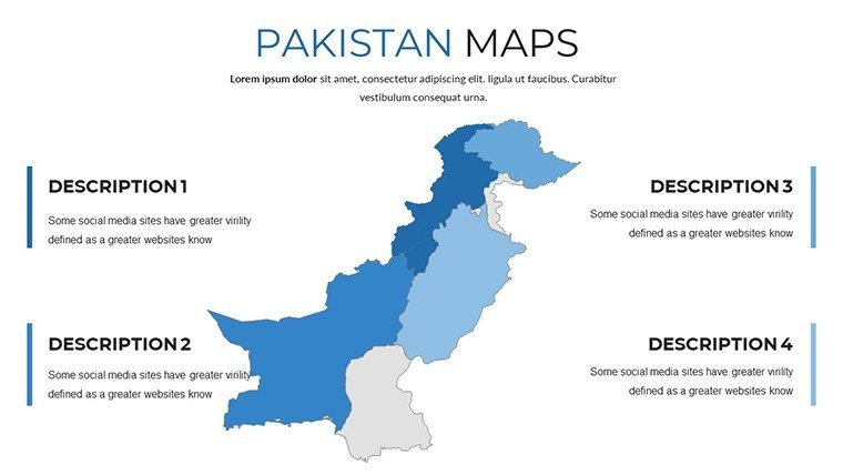
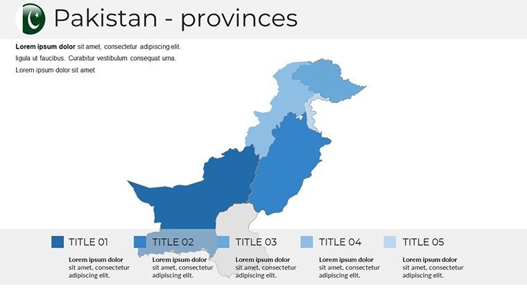
- Data Analysis: Use color-coded heat maps to represent regional GDP growth, population density, or environmental assessments in the Thar Desert.
Optimized for Rapid Customization
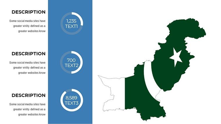
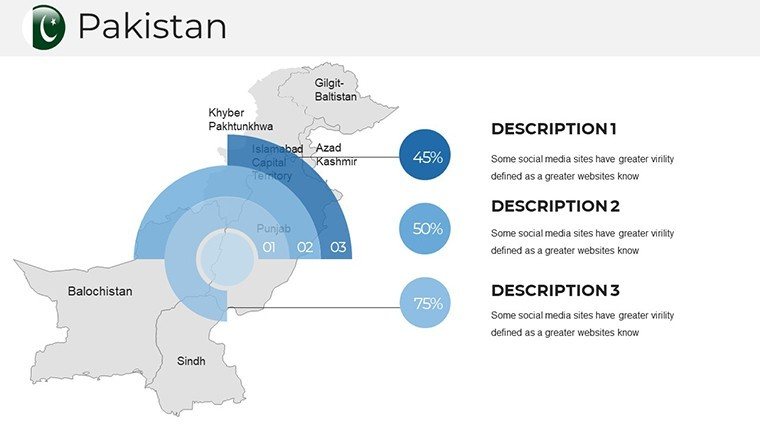
Unlike static images, every province and administrative division in this deck is a vector-based shape. This allows you to change colors, rescale boundaries without losing resolution, and add custom labels in seconds. The template is fully compatible with PowerPoint and Google Slides, ensuring a seamless workflow regardless of your preferred platform. Enhance your narrative by layering charts over specific regions to turn abstract data into a compelling visual story.
Download this comprehensive deck today to streamline your presentation workflow and deliver insights with cartographic accuracy.
Frequently Asked Questions
Can I edit individual provincial boundaries in this Pakistan map?Yes, all provincial and administrative boundaries are fully editable vector shapes. You can click on individual regions to change colors, add borders, or pull segments apart for emphasis.
Is this template compatible with Google Slides and Keynote?Absolutely. The .pptx file is optimized for cross-platform compatibility, maintaining its editability and layout integrity in Google Slides, Apple Keynote, and all modern versions of Microsoft PowerPoint.
Are the slides print-ready for high-resolution handouts?Yes, the maps are built using high-resolution vector graphics, ensuring that your slides remain sharp and professional when printed for physical reports or boardroom handouts.
Good for
- Project roadmaps and sprint plans
- Product launch timelines
- Quarterly or annual review decks
- Company history and milestone summaries
Licence
reviews
Just needed something quick for my monthly report, the bar charts worked fine.
Used this for a school project about renewable energy, the arrows helped show trends.
The layout was okay but I wish there were more color options for the icons.
Grabbed this last minute for a client pitch, did the job without any fuss.
Those flowcharts saved me a ton of time, though some text boxes were hard to resize.
FAQ
Will it work in Google Slides?
Are fonts embedded?
Can I use this for client work?
What's the refund policy?
Do you update the template after purchase?
Similar templates
See all PowerPoint Maps →

All 37 slides