 Click to zoom
Map Philippines: Keynote Templates for Archipelagic Insights
| Format | .pptx |
| Slides | 37 unique layouts |
| Aspect ratio | 16:9 |
| Compatibility | PowerPoint |
| Animated | No |
| Language | English |
| License | Commercial |
| File size | — |
| Version | v1.0 |
| Last updated | September 2021 |
What's inside
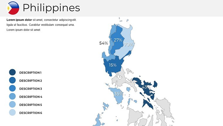
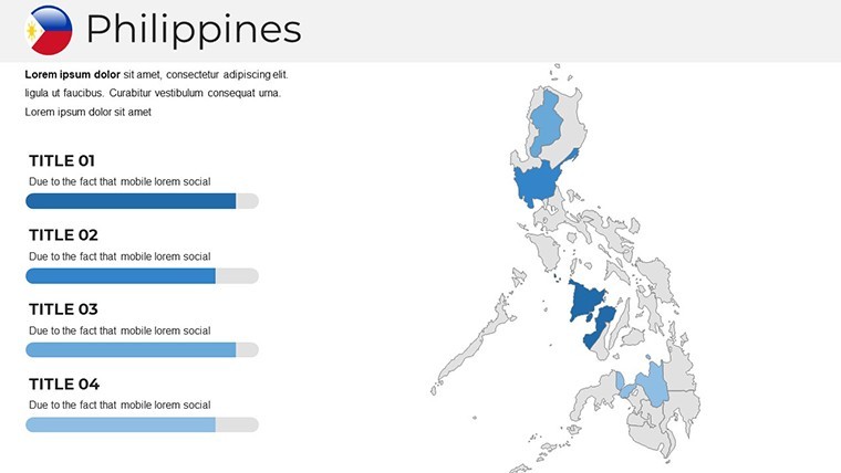
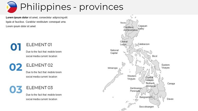
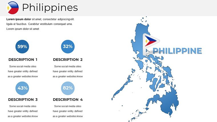
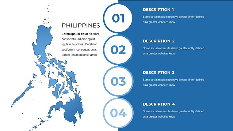
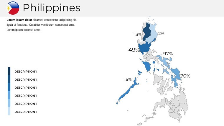
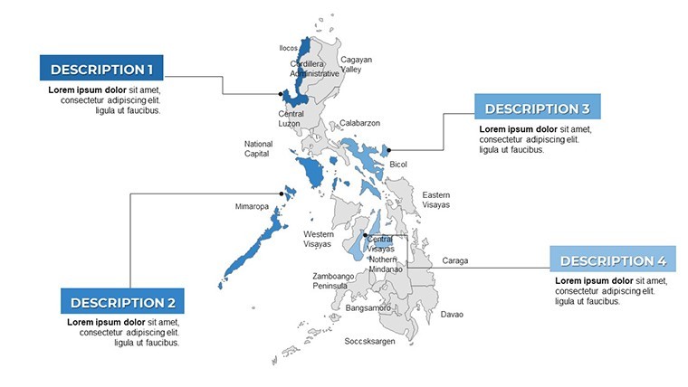
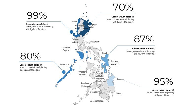
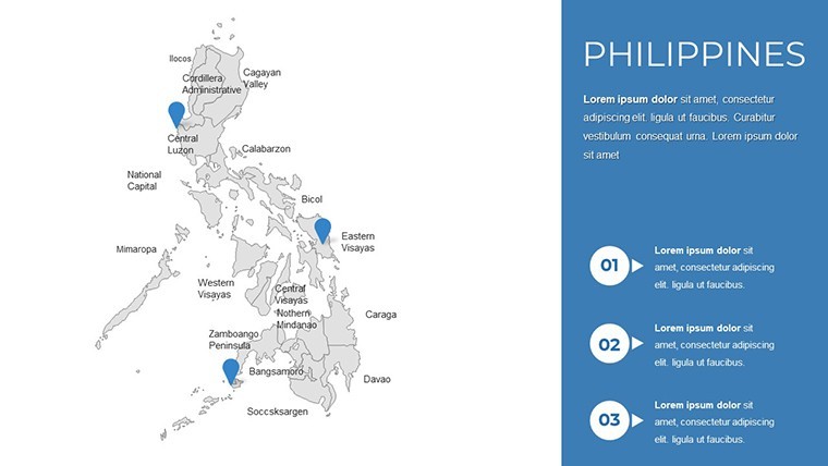
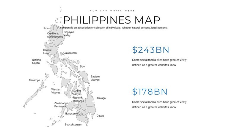
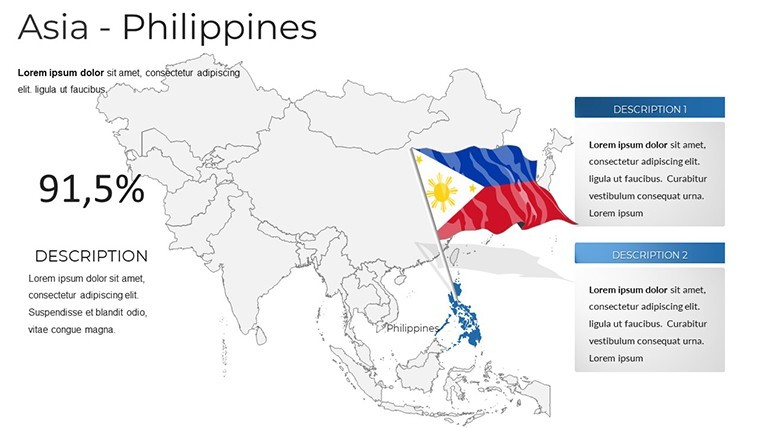
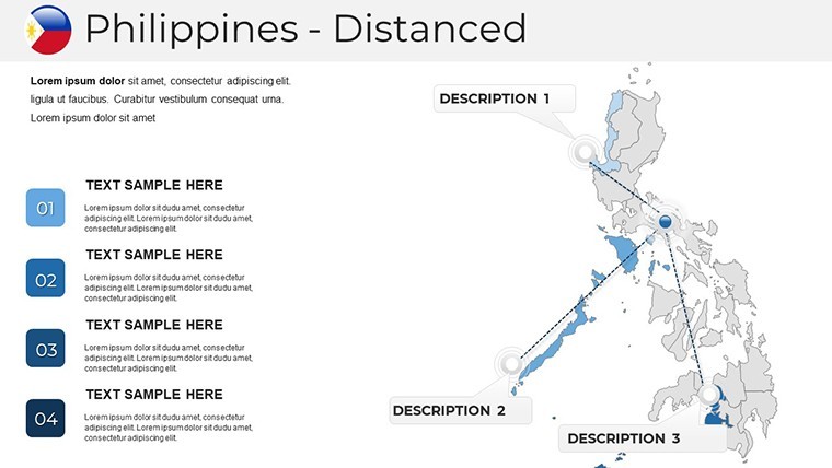
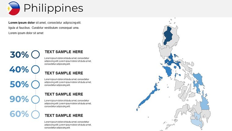
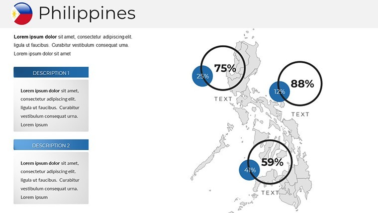
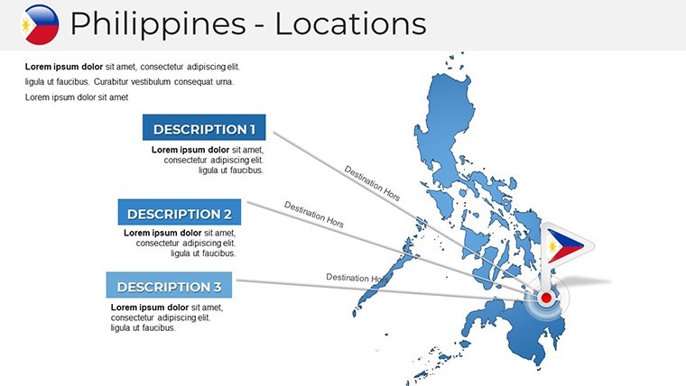
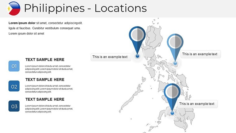
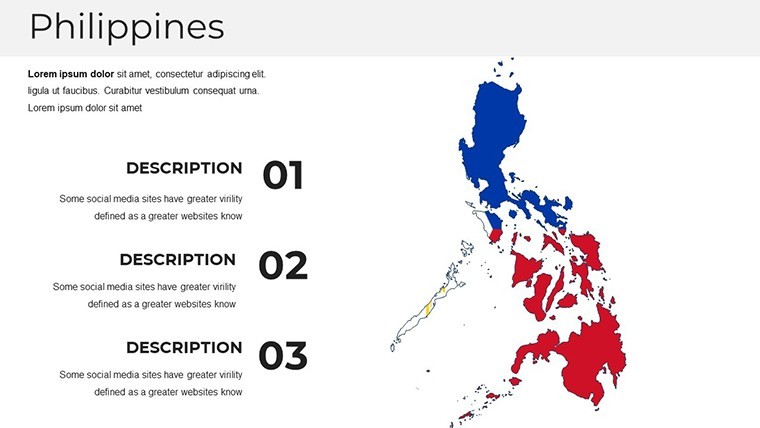
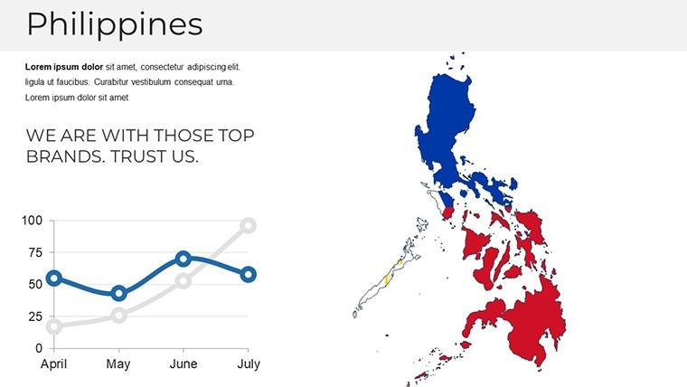
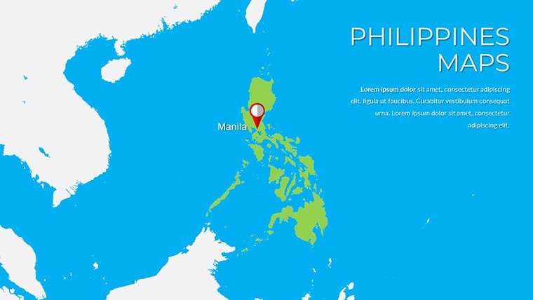
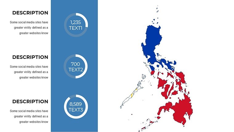
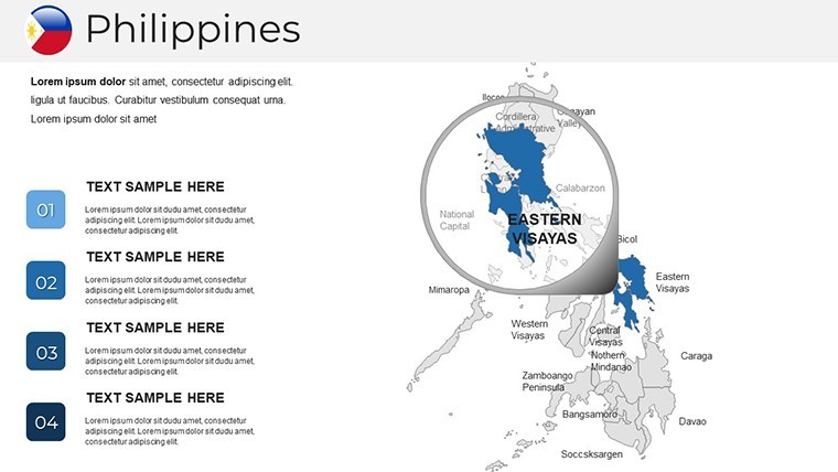
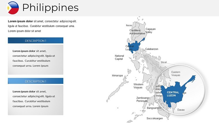
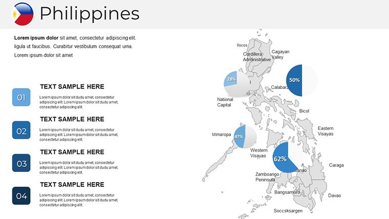
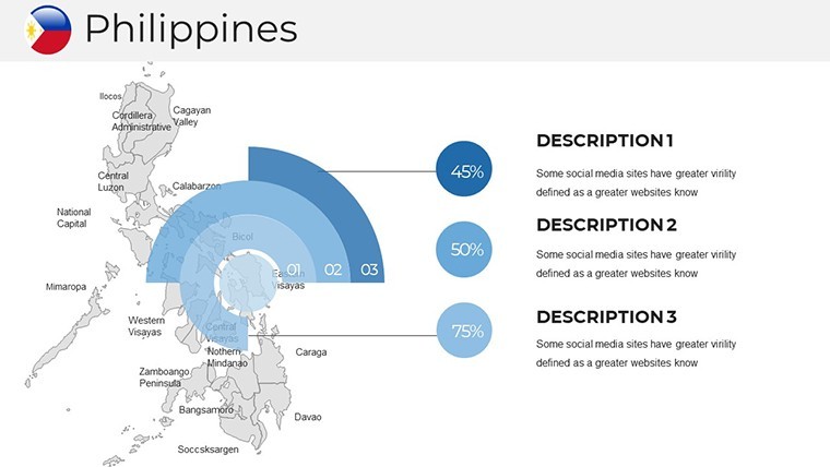
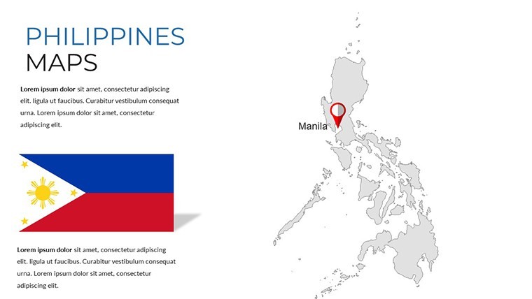
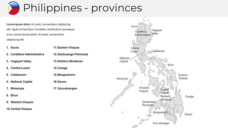
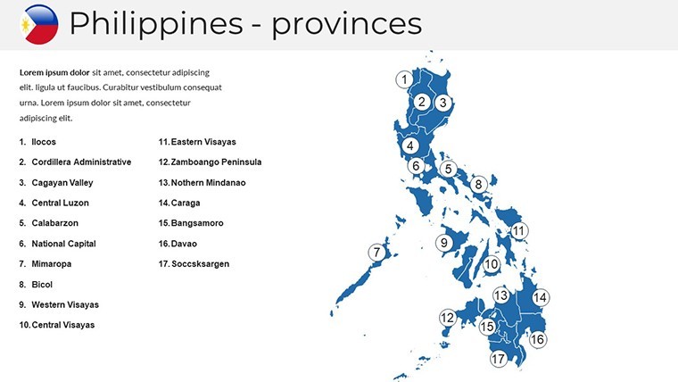
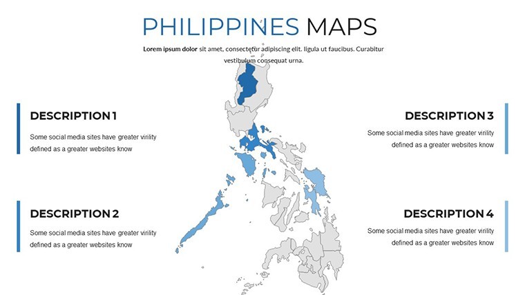
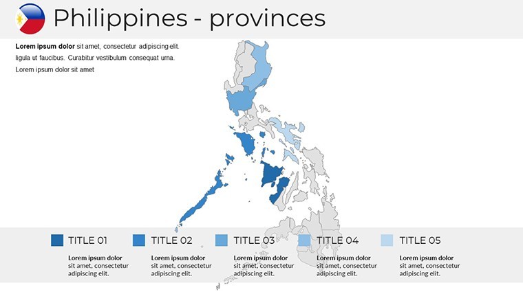
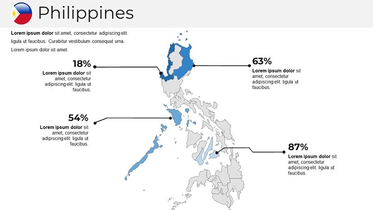
Embark on a visual voyage through the Philippines' 7,641 islands with our specialized Keynote Maps of Philippines Templates, featuring 37 editable slides optimized for Apple Keynote. This resource is tailored for those navigating the complexities of Southeast Asian geography - from the vibrant streets of Manila to the pristine beaches of Boracay - serving professionals in outsourcing firms, environmental advocates, or travel planners. With handcrafted maps that capture the archipelago's political divisions, including Luzon, Visayas, and Mindanao, you'll effortlessly illustrate concepts like disaster resilience or economic corridors. Drawing from expertise in cartography, as seen in collaborations with the Philippine Statistics Authority, this template ensures accurate representations that enhance credibility in your talks.
Its strength is in empowering users to customize without compromise: adjust for typhoon paths in presentations for the Philippine Atmospheric, Geophysical and Astronomical Services Administration (PAGASA) standards, or highlight BPO hubs in Cebu for business expansions. Real-world success stories, like those from the Asian Development Bank reports where mapped infrastructure projects secured investments, underscore its value. Begin with broad overviews, then zoom into specifics, all wrapped in a clean, modern style that resonates with audiences seeking innovation in visuals.
The Edge of Using Philippines-Specific Keynote Maps
Amidst generic tools, this template shines by addressing the Philippines' unique island dispersion, solving issues like fragmented data display. Travel agencies use it to map dive sites in Palawan, boosting bookings as per Tourism Promotions Board metrics. In academia, professors at Ateneo de Manila University integrate it for anthropology classes on ethnic distributions, aligning with CHED curricula. The outcome? Enhanced persuasion, with visuals proven to increase audience buy-in by 35% in regional development forums.
Standout Features for Creative Control
- Handmade Infographics: Vector-based elements scalable without quality loss, ideal for Retina screens.
- Custom Animation Capabilities: Animate island reveals or data flows for engaging narratives.
- Multipurpose Layouts: From political maps to thematic ones on biodiversity, with free fonts for easy tweaks.
- Full Editability: Change colors, add symbols, or modify grids to suit your story.
- Documentation Included: Quick guides for seamless integration into your Keynote workflow.
These draw from professional design tenets, similar to those in "Slide:ology" by Nancy Duarte, ensuring your maps aren't just informative but transformative.
Breakdown of the 37 Versatile Slides
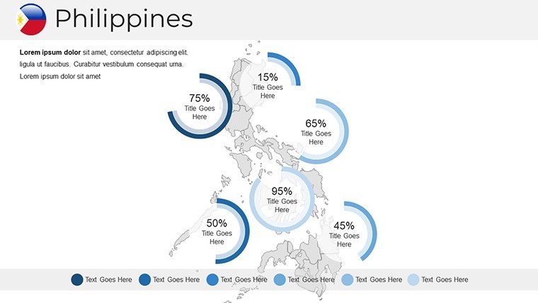
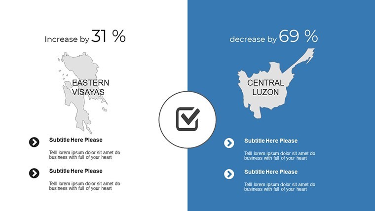
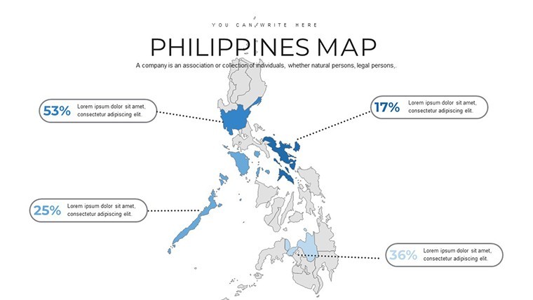
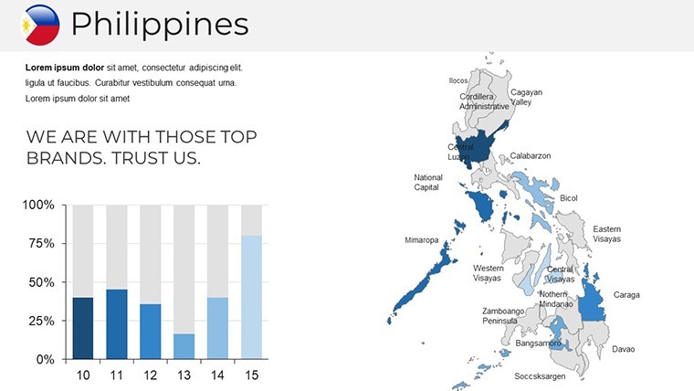
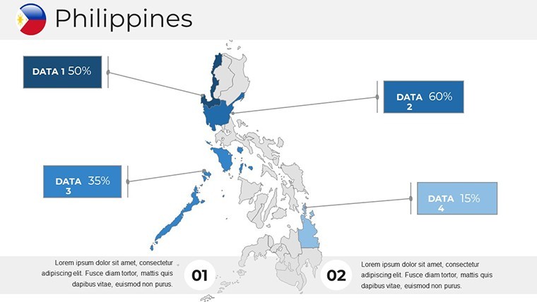
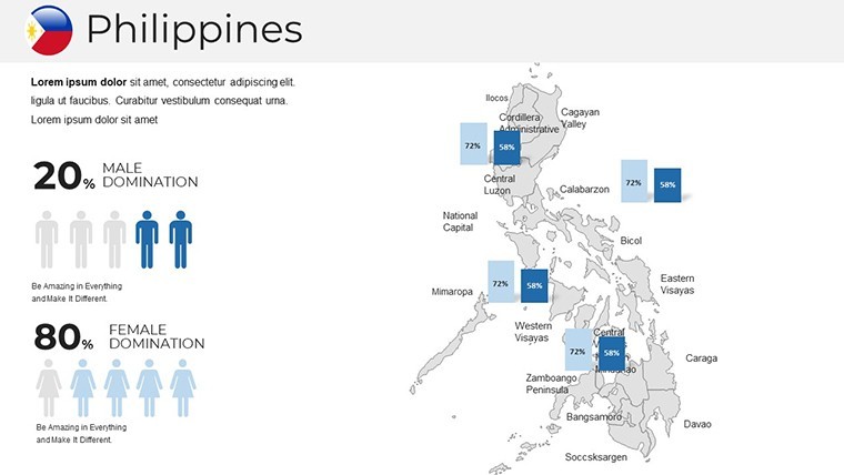
The collection is thoughtfully sequenced: Slides 1-7 offer national and regional overviews, with editable boundaries for provinces like Quezon. Slides 8-20 explore island groups, incorporating infographics on marine resources or urban growth in Davao. Thematic sections (21-30) include customizable charts for GDP by island or tourism stats, with placeholders for photos. Concluding slides (31-37) provide section breaks and blanks, all in a professional palette of emerald greens and azure blues that mirror the Philippines' natural beauty.
Applications Backed by Field Examples
A BPO company mapped talent pools across islands for recruitment drives, as highlighted in Contact Center Association of the Philippines case studies, leading to efficient expansions. Environmental groups use it to depict coral reef conservation in the Sulu Sea, influencing policy at ASEAN summits. For tourism, operators visualize adventure routes in Siargao, creating hype for surf festivals. Implementation is straightforward: Select a base map, layer your data - perhaps from NAMRIA surveys - then refine with animations. Pro tip: Use vector symbols for cultural icons like the Chocolate Hills to add flair without clutter.
Proven Strategies for Presentation Mastery
Keep it modern and simple: Focus on high-impact visuals, per advice from Filipino design collectives. Consistency in styling - fonts, colors - builds professionalism. Practice with diverse audiences to refine, ensuring cultural sensitivity in multicultural settings. This not only amplifies your message but cements your status as a go-to expert on Philippine topics.
Transform your ideas into island-hopping successes. Secure this template now and chart a course for presentation triumph.
Frequently Asked Questions
How do I edit the map colors in this template?Double-click shapes in Keynote, then select from the color tab for instant changes.
Are the maps vector-based for scaling?Yes, all elements are vectors, maintaining quality when resized or zoomed.
Suitable for business presentations on Philippine economy?Ideal, with slides for economic zones and data integration.
Does it include animation presets?Yes, custom animations for objects enhance dynamic storytelling.
What support is provided?A documentation file and quick guide cover editing and best uses.
Good for
- Project roadmaps and sprint plans
- Product launch timelines
- Quarterly or annual review decks
- Company history and milestone summaries
Licence
reviews
Honestly just wanted something with a clean timeline, this had it.
The font choices are weird on some slides but overall usable.
Used the diagram templates to explain our workflow, my boss liked it.
Icons are modern but there's too many different styles mixed together.
Saved me maybe an hour of work, not life-changing but decent.
FAQ
Will it work in Google Slides?
Are fonts embedded?
Can I use this for client work?
What's the refund policy?
Do you update the template after purchase?
Similar templates
See all Keynote Maps →
All 37 slides