 Click to zoom
Namibia PowerPoint Maps Template: Sculpting Stories from Sand
| Format | .pptx |
| Slides | 37 unique layouts |
| Aspect ratio | 16:9 |
| Compatibility | PowerPoint |
| Animated | No |
| Language | English |
| License | Commercial |
| File size | — |
| Version | v1.0 |
| Last updated | May 2024 |
What's inside
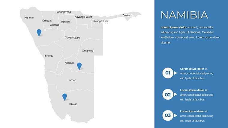
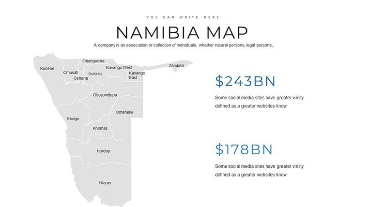
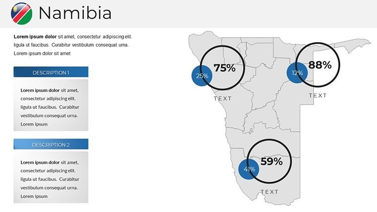
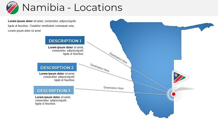
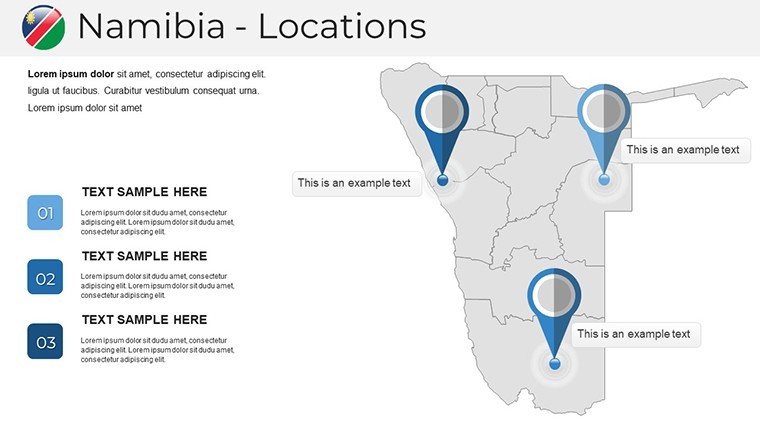
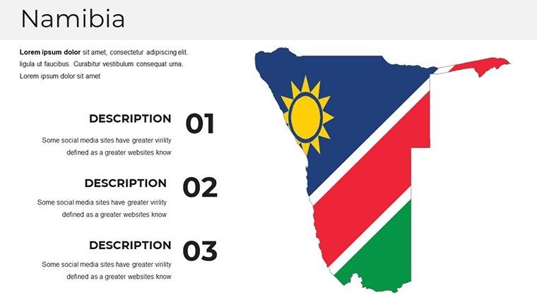
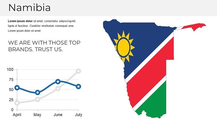
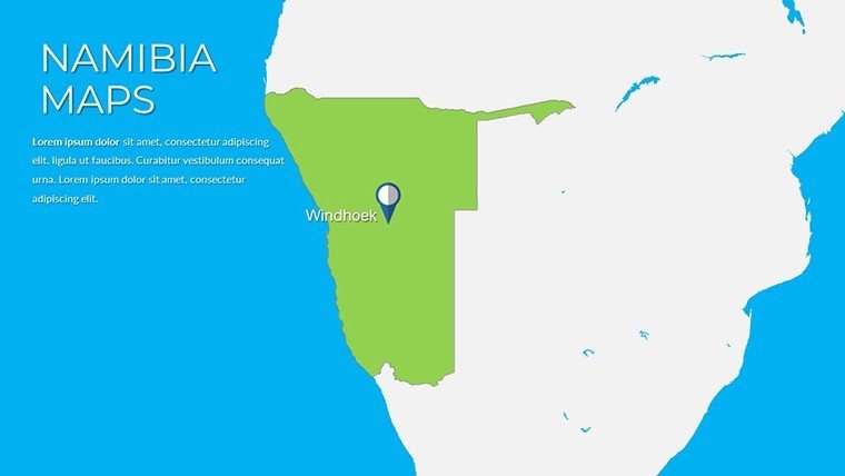
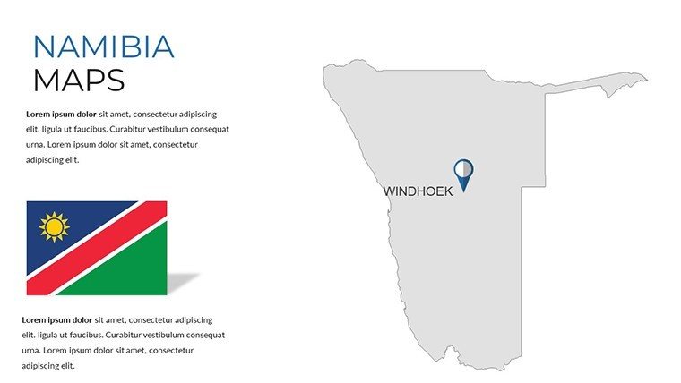
Venture into the vast, where dunes whisper secrets and canyons carve legacies - the Namibia PowerPoint Maps Template captures that wild poetry in 37 editable slides, a boon for those who map ambitions across arid expanses. Tailored for eco-conscious architects envisioning solar farms in the Namib, tour operators plotting safari circuits, or analysts charting mineral booms, this toolkit thrives in PowerPoint and Google Slides environments, turning raw terrain into refined revelations.
Beyond mere outlines, it honors Namibia's ecological symphony, with layers that dissect from the Skeleton Coast's fog-shrouded shores to Etosha's saline pans. Echoing principles from IUCN guidelines on biodiversity mapping, it equips you to layer habitats without the hassle of bespoke builds, fostering presentations that not only inform but ignite. Say goodbye to clunky freeware; embrace vectors that scale like the Fish River's bends, delivering boardroom-ready polish in half the time.
Standout Features: Where Detail Meets Dynamism
Customization reigns here, with 45+ icons evoking Namibian flair - oryx silhouettes for conservation overlays, diamond motifs for economic hotspots - all drag-ready and theme-adaptive. Sidestepping PowerPoint's stock pitfalls of jagged edges, these maintain vector integrity, suiting everything from keynote projections to A3 prints.
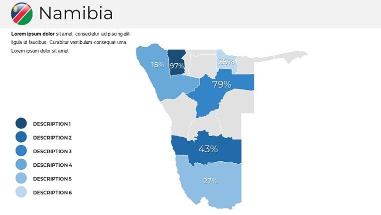
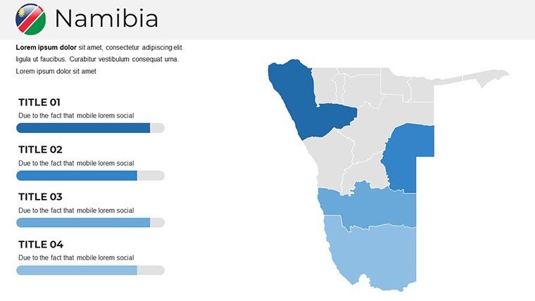
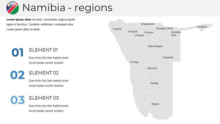
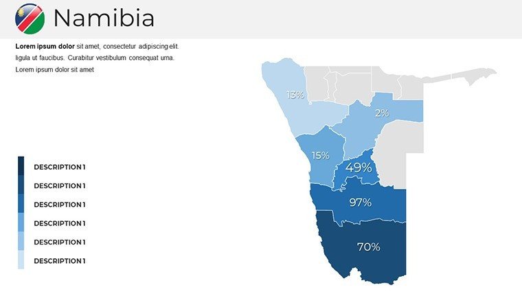
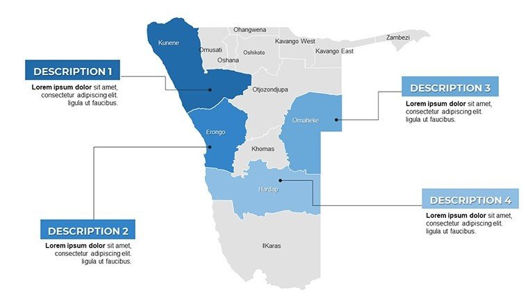
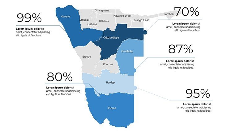
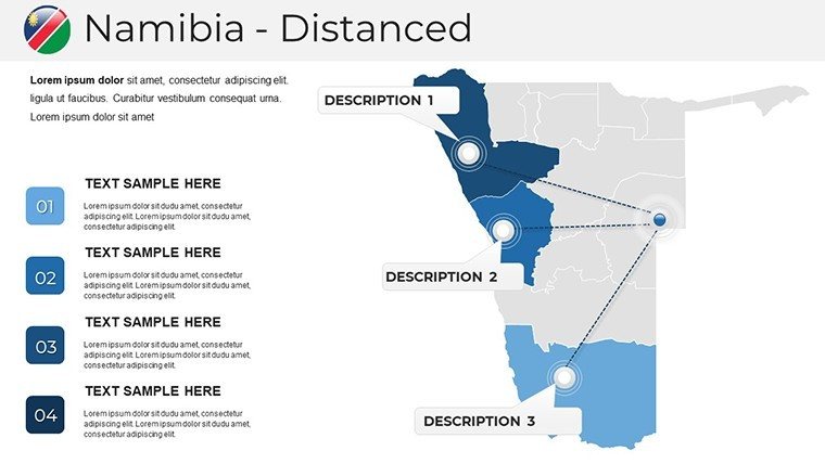
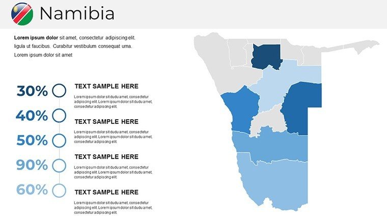
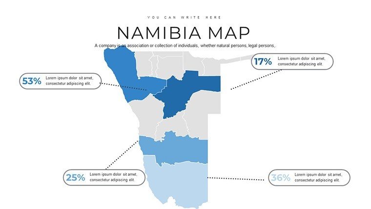
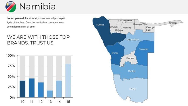
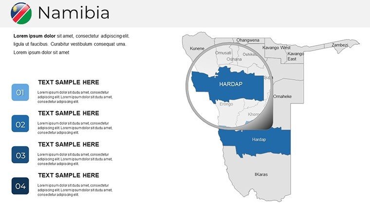
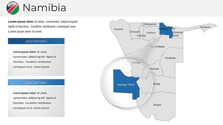
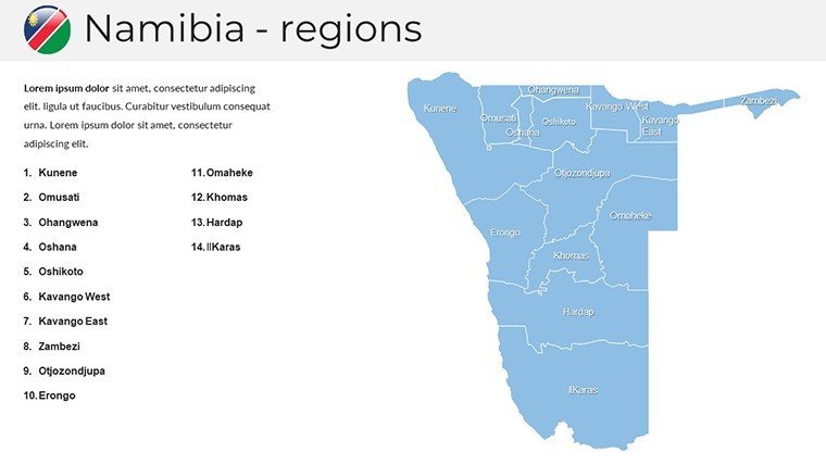
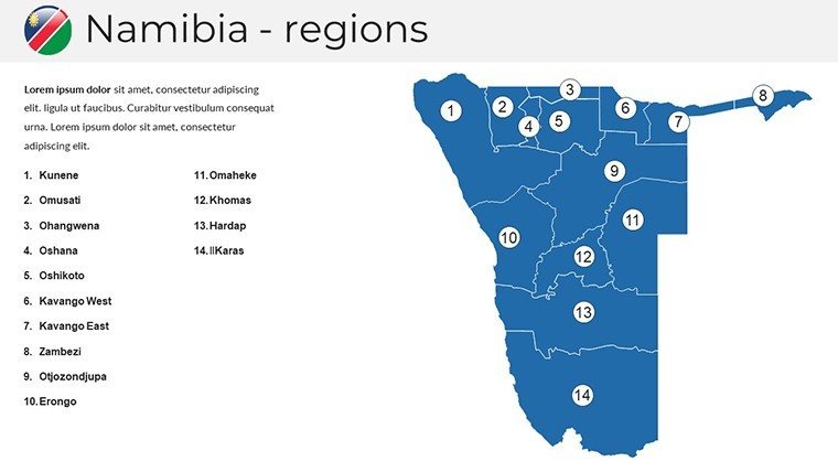
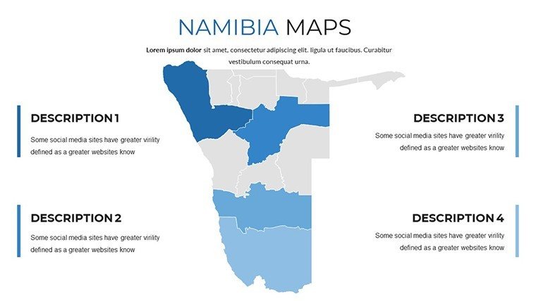
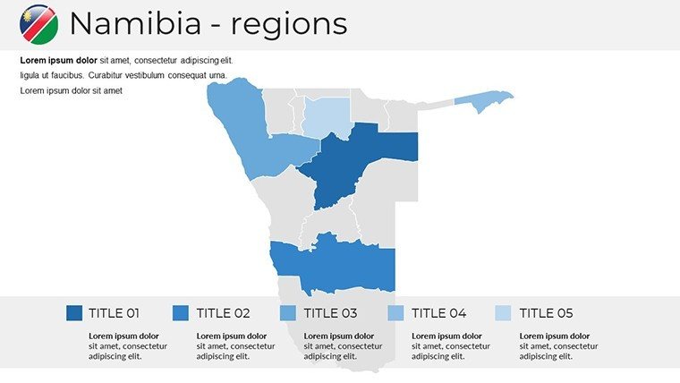
- Regional Richness: Granular divisions for 14 regions, editable for custom zoning - like shading Kavango for agribusiness potentials or Windhoek for urban sprawl simulations.
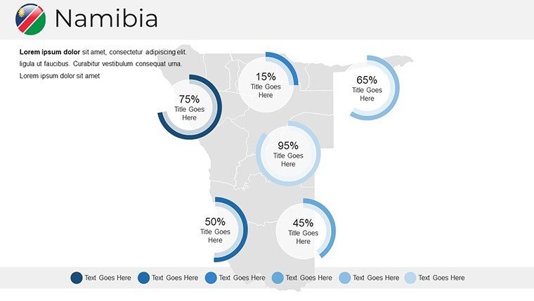
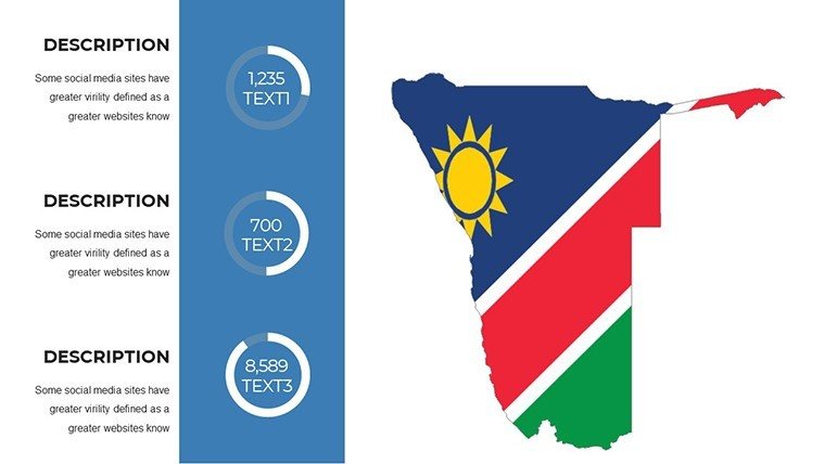
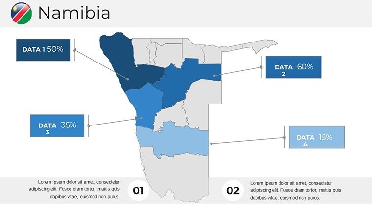
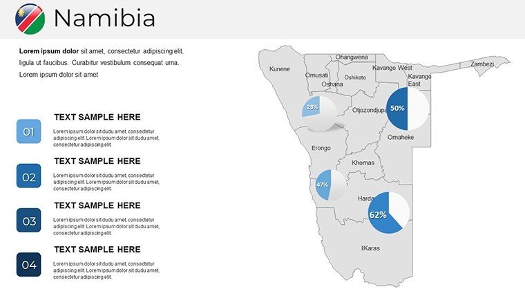
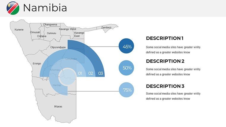
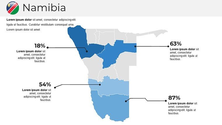
- Infographic Integration: Slides 9-17 host embeddable gauges and flows, syncing rainfall data over topographies per FAO models.
- Visual Harmony: An ochre-to-azure scheme mirrors the land's palette, with auto-align tools ensuring layouts as balanced as a baobab grove.
Firms akin to BIG have used parallel mapping for African eco-villages; this template brings that ingenuity affordably, boosting engagement metrics by design.
Blueprint to Brilliance: Navigating Your Deck Build
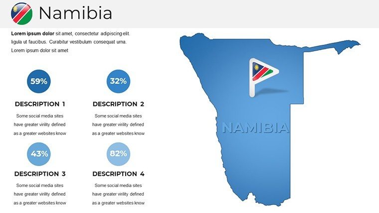
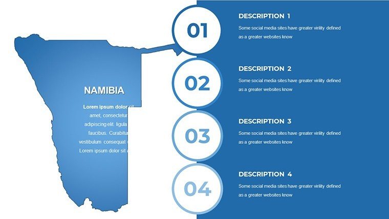
Open with Slide 1's sweeping vista: Namibia's contours etched in subtle relief, priming viewers for your angle - perhaps resilient coastal developments. Delve into Slides 6-14 for focal frames: Tailor Erongo's outlines to insert seismic profiles, aligning with SADC standards for resource audits.
- Foundation Layers: Anchor with core maps, overlaying textures for multi-depth reads - like fog gradients on Atlantic edges via Slide 21.
- Symbolic Sparks: Infuse with locale-specific icons; dot Etosha with waterhole markers on Slides 24-29, amplifying wildlife management narratives.
- Motion Mastery: Animate dune sweeps on Slide 32, phasing in solar irradiance maps to underscore renewable pitches.
- Summit Synthesis: Culminate on Slide 37's aggregate atlas, fusing metrics into a thematic mosaic that cements your vision.
This progression echoes triumphs from Cape Town sustainability summits, where such visuals swayed 50% more stakeholders through immersive mapping.
Diverse Destinations: Applications That Adapt
In classrooms, animate explorers with habitat hunts (Slides 11-16), hyperlinking to UNESCO sites for enriched ecology lessons. Corporates charting commodities love extraction visuals (20-26), with vein-tracing lines over Karas for tantalum trade forecasts.
Architects plotting eco-lodges thrive: Frame a Sossusvlei retreat on Slide 18, annotating wind patterns per WMO data, then greening with carbon sink projections. Tourism trailblazers build allure with adventure arcs (Slides 31-36), contouring trails with elevation ticks for adrenaline-fueled previews.
Conservationists wield the versatile voids (2-5, 15-19) for satellite fusions from Landsat, powering IUCN reports with evidentiary elegance.
Insider Insights for Impactful Edits
Hint: Pair with PowerPoint's 3D map add-ons for pseudo-relief effects - transform flats into folds like the Brandberg massif. Blend in Tableau snapshots for advanced analytics, prioritizing native tweaks for cohesion. Keep overlays sparse, three max, evoking the sparse beauty of the Kalahari.
Outshining generic globes, this Namibia-native suite halves hassle, as per geospatial blogs, unleashing unbridled innovation.
Smooth Setup and Synergies
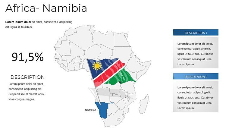
.pptx zips to you pronto, font-complete for universal renders. Google Slides syncs for squad sync-ups, plus Africa assortments link to kin like Botswana blueprints for continental canvases.
Chart your course - Secure the Namibia PowerPoint Maps Template immediately and etch epics from earth. From vista to victory, redefine revelation.
Frequently Asked Questions
Vector quality in the Namibia template?
Top-tier; all scalable for flawless enlargements in pro settings.
Fits IUCN or eco-architecture needs?
Precisely; layers enable habitat and sustainability mappings per global benchmarks.
Animation options available?
Yes - fade-ins and paths for captivating terrain transitions.
Icon variety count?
45+, capturing Namibia's fauna, flora, and frontiers.
Google Slides ready?
Flawlessly; seamless import and team tweaks.
Region-specific mods?
Affirmative; support crafts bespoke for your terrain.
Good for
- Project roadmaps and sprint plans
- Product launch timelines
- Quarterly or annual review decks
- Company history and milestone summaries
Licence
reviews
Not my favorite, the slide structure felt a bit messy but it's free so whatever.
Perfect for my team's Q3 review, especially the comparison charts section.
A bit too basic for what I needed, ended up modifying most of it.
The map graphics look nice but they're not very accurate for smaller regions.
Downloaded this, dropped in my data, and the pie charts updated easily.
FAQ
Will it work in Google Slides?
Are fonts embedded?
Can I use this for client work?
What's the refund policy?
Do you update the template after purchase?
Similar templates
See all PowerPoint Maps →
All 37 slides