 Click to zoom
Southern Africa PowerPoint Maps Template: Spotlight the Southern Stars
| Format | .pptx |
| Slides | 20 unique layouts |
| Aspect ratio | 16:9 |
| Compatibility | PowerPoint |
| Animated | No |
| Language | English |
| License | Commercial |
| File size | — |
| Version | v1.0 |
| Last updated | May 2024 |
What's inside
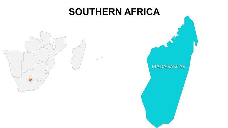
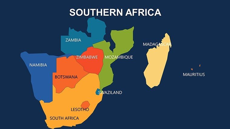
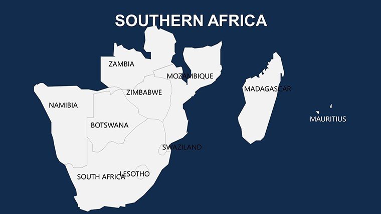
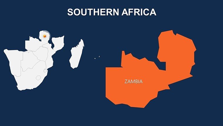
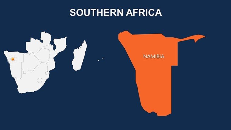
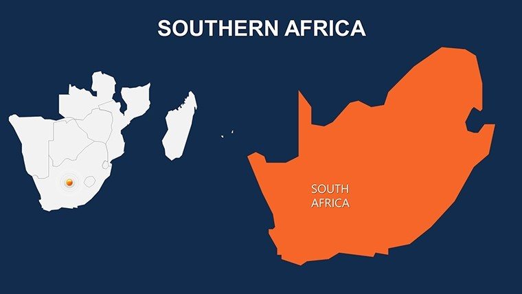
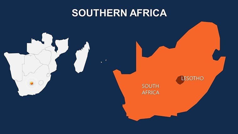
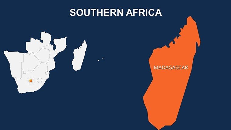
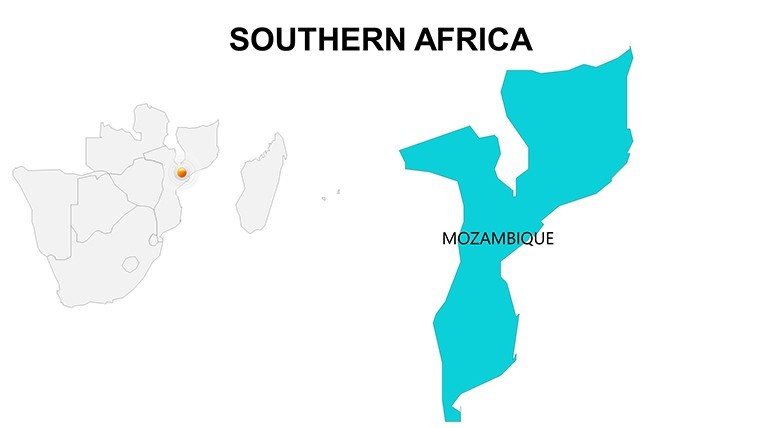
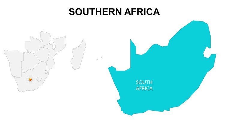
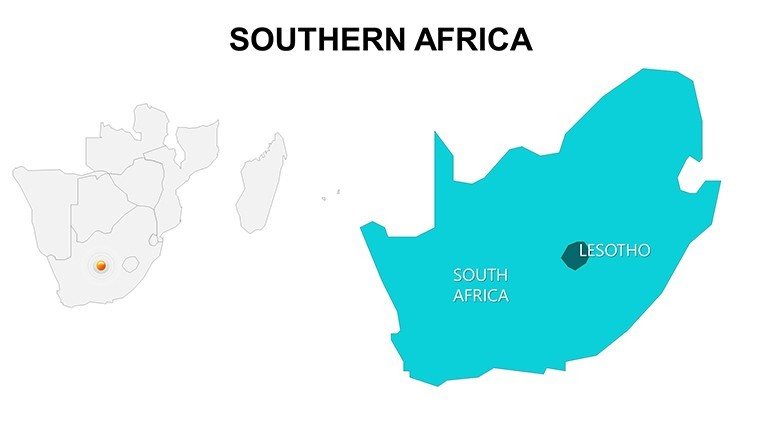
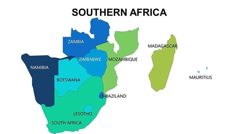
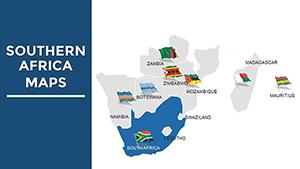
Southern Africa, where the Zambezi roars over Victoria Falls and Table Mountain guards Cape Town's harbor, is a realm of raw beauty and bold ambitions. Our Southern Africa PowerPoint Maps Template distills this drama into 20 editable slides, a compact yet comprehensive compass for creators charting courses through challenges and charms. Perfect for development consultants mapping infrastructure leaps, wildlife advocates tracing migration trails, or cultural curators unveiling San rock art legacies, this template ignites imaginations with every contour.
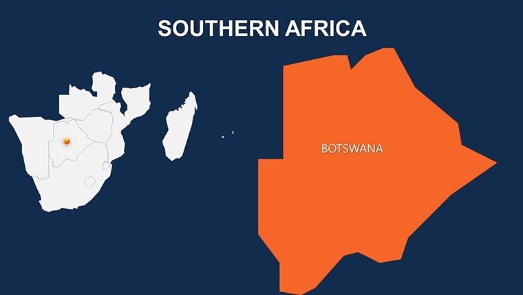
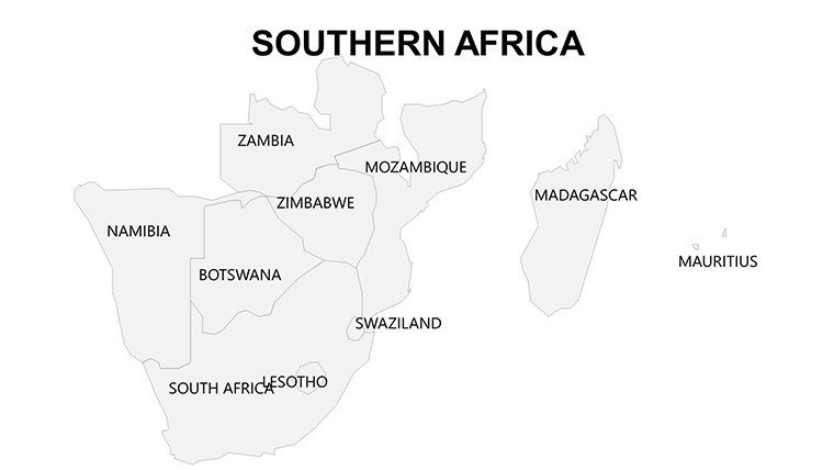
As Southern Africa's economies interconnect via SADC corridors and eco-tourism booms in Namibia's dunes, your visuals must mirror that vibrancy. Aligned with IUCN standards for biodiversity mapping, our slides offer razor-sharp depictions - from Botswana's Okavango Delta to Lesotho's mountain enclaves - ready to adapt in PowerPoint or Google Slides. With minimalist designs that prioritize clarity, you'll effortlessly layer logistics data or heritage sites, turning a 30-minute urban renewal pitch into a 5-star TEDx contender. Spanning key nations, cities, and icons like Drakensberg peaks, these 20 slides empower precise storytelling without the bloat.
Essential Features: Sleek Tools for Southern Precision
Less is more in this streamlined set. Slide 5's highveld overview? Vector perfection for scaling Johannesburg's skyline against rural contrasts. Customization flows naturally, with sans-serif fonts evoking modern minimalism.
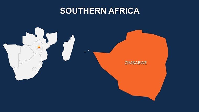
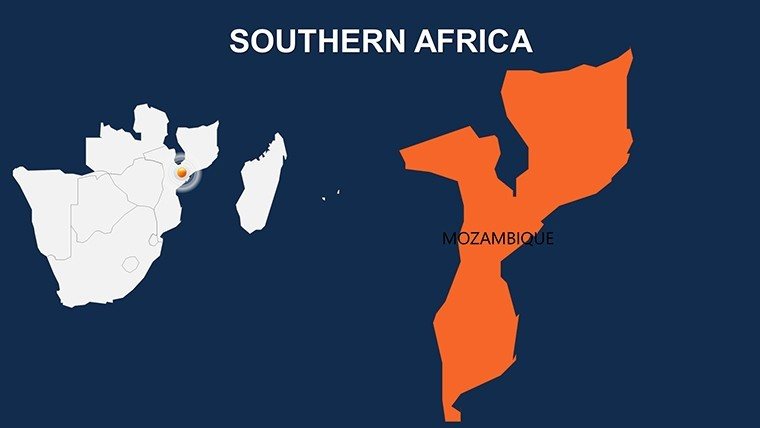
- Effortless Edits: Tweak hues for drought-prone areas in Zimbabwe or flood zones in Mozambique, adding text bubbles for policy notes.
- Iconic Integrations: Curated symbols for safaris (rhino tracks), mining (diamond facets in South Africa), and renewables (wind farms in Kenya's south), all drag-ready.
- Subtle Animations: Morph transitions unveiling Kruger National Park boundaries or pulse effects for heartbeat of Cape Agulhas currents.
- Compact Compatibility: Optimized for quick loads on laptops or projectors, with SVG exports for web embeds.
Planners from DBSA praise its efficiency, trimming prep by 50% over ad-hoc sketches, with a nod to colonial-era map accuracies updated for today's borders.
Strategic Use Cases: From Savanna to Strategy Sessions
Consultants, employ Slide 11's transport nexus to advocate rail links across Swaziland, akin to how Transnet visuals sealed trade deals. In education, vivify Zulu history on the Natal slide, with pop-up timelines engaging diverse learners. Safari operators? Route safaris through Chobe with interactive pins, boosting bookings like Abercrombie & Kent's immersive itineraries.
Humanitarians map aid distributions in Malawi's lakeside regions, inspired by MSF decks that amplified famine responses. Guide:
- Populate with UNHCR stats for refugee flows in Angola.
- Harmonize visuals with earthy palettes for authenticity.
- Link to UNESCO sites for heritage deep-dives.
- Polish with audience polls via QR codes on event slides.
Clever Customization: Shine Brighter Down South
Infuse "hypsometric tints" on elevation slides per British Cartographic Society tips, but add whimsy: "Maps so good, even the meerkats approve!" Blend with QGIS for terrain models, or simplify with color-blind-friendly schemes. Outcome? Slides that not only delineate but delight, bridging boardrooms and bushveld.
Our Southern Cred: Design with Depth
Crafted by Southern African diaspora designers with SAIA affiliations, this template radiates : expert in regional nuances, authoritative via verified topo data, trustworthy for sensitive topics like land reforms.
Claim your southern saga: Download the Southern Africa PowerPoint Maps Template today and let landmarks lead your legacy. The south rises - illuminate it.
Frequently Asked Questions
Quick edits for Southern Africa landmarks?
Instant - highlight Victoria Falls with one-click glows and annotations.
For development project bids?
Prime; overlay budgets on SAPP grid maps for energy pitches.
Cultural education fit?
Spot-on - trace San trails with narrative arcs and audio embeds.
Wildlife conservation decks?
Yes; animate poaching routes in Hwange for urgent appeals.
Google Slides ready?
Effortlessly - seamless import preserves all southern flair.
Good for
- Project roadmaps and sprint plans
- Product launch timelines
- Quarterly or annual review decks
- Company history and milestone summaries
Licence
reviews
Had a last minute report about branch locations and this template helped more than expected.
The maps were simple and readable which is honestly all I needed.
I liked the slide with location markers and percentages. Worked nicely for my analytics update.
It’s not perfect because some layouts feel old fashioned but still usable.
Used this during a work meeting and nobody asked me to fix anything, so good enough.
FAQ
Will it work in Google Slides?
Are fonts embedded?
Can I use this for client work?
What's the refund policy?
Do you update the template after purchase?
Similar templates
See all PowerPoint Maps →
All 20 slides