 Click to zoom
Guatemala Keynote Maps: Forge Stunning Regional Narratives
| Format | .pptx |
| Slides | 36 unique layouts |
| Aspect ratio | 16:9 |
| Compatibility | PowerPoint |
| Animated | No |
| Language | English |
| License | Commercial |
| File size | — |
| Version | v1.0 |
| Last updated | August 2025 |
What's inside
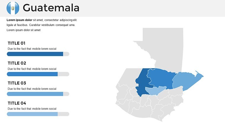
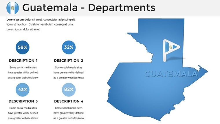
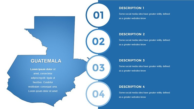
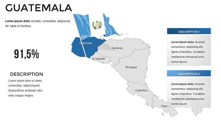
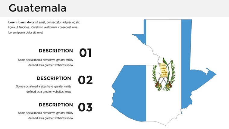
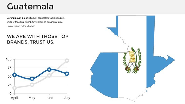
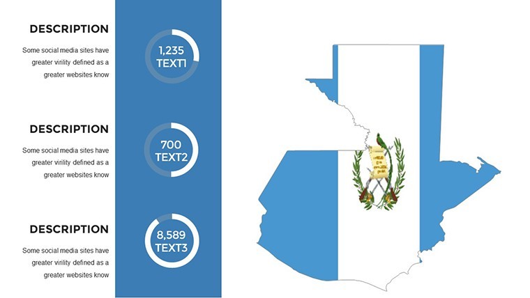
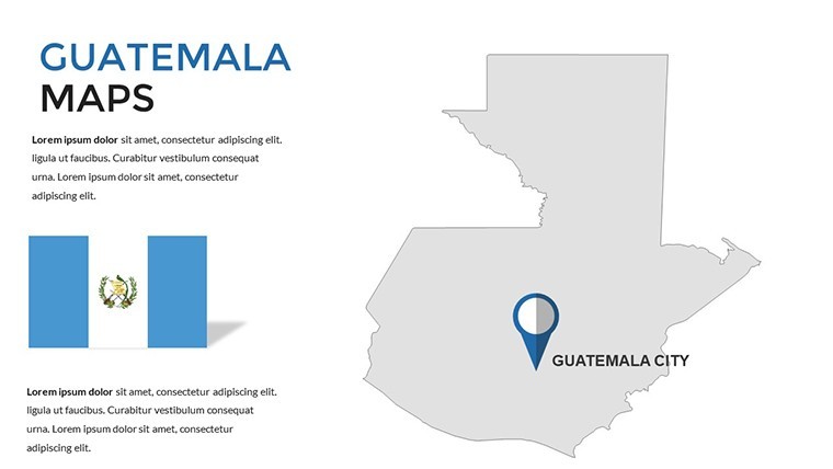
Guatemala's landscapes - from volcanic highlands to lush Petén jungles - hold stories waiting to be mapped, but conveying them demands more than outlines; it requires templates that ignite curiosity. Our Guatemala Keynote Maps template delivers exactly that: 36 editable slides blending precise cartography with vibrant infographics, ideal for executives dissecting market terrains or teachers tracing ancient Maya routes.
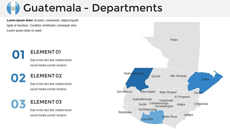
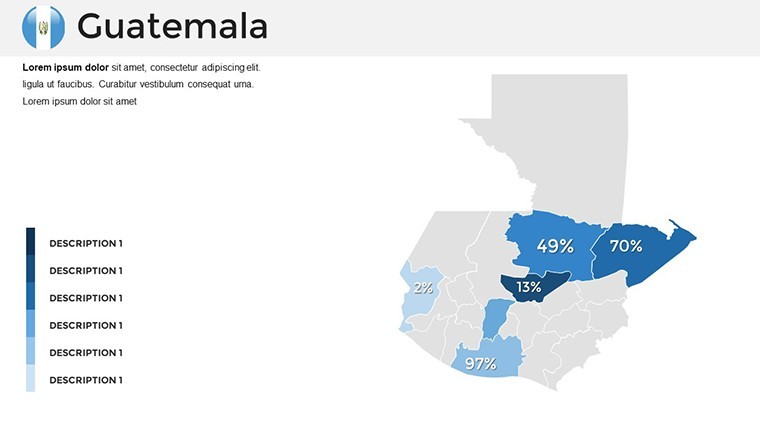
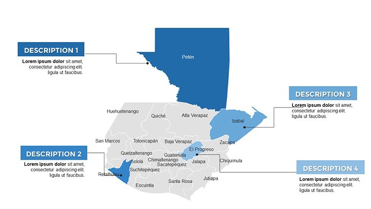
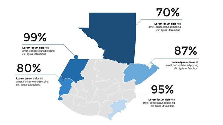
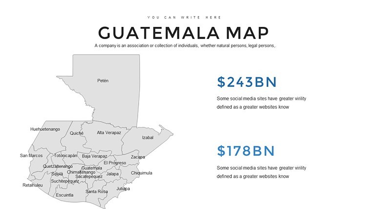
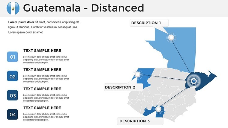
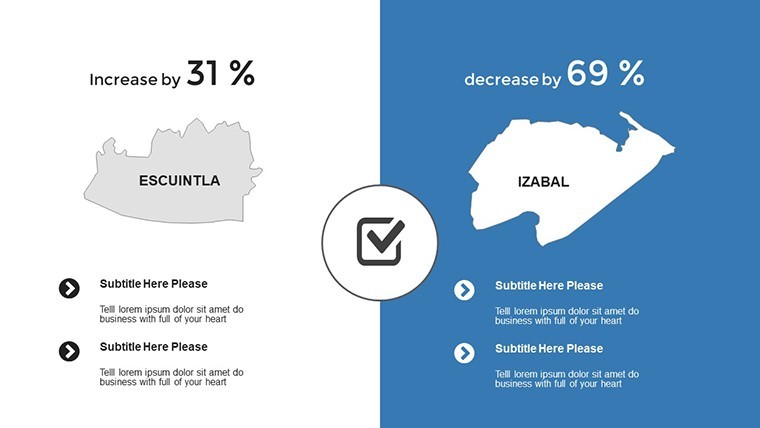
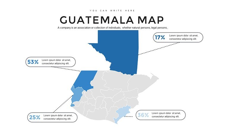
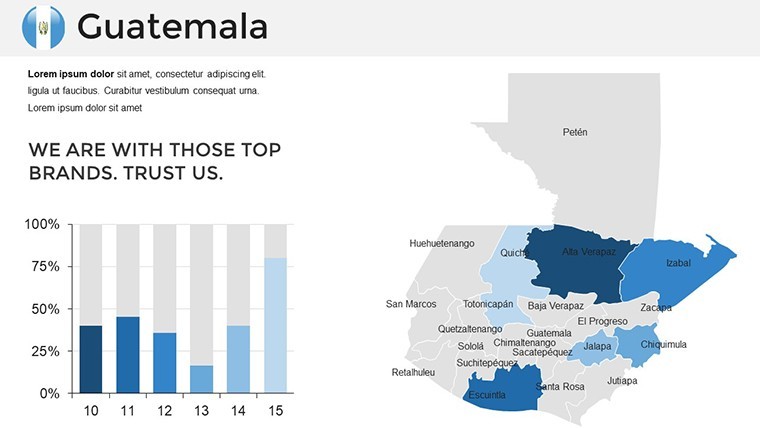
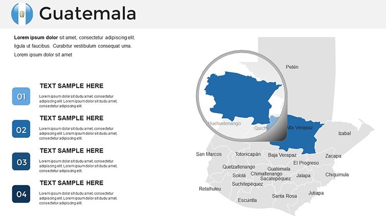
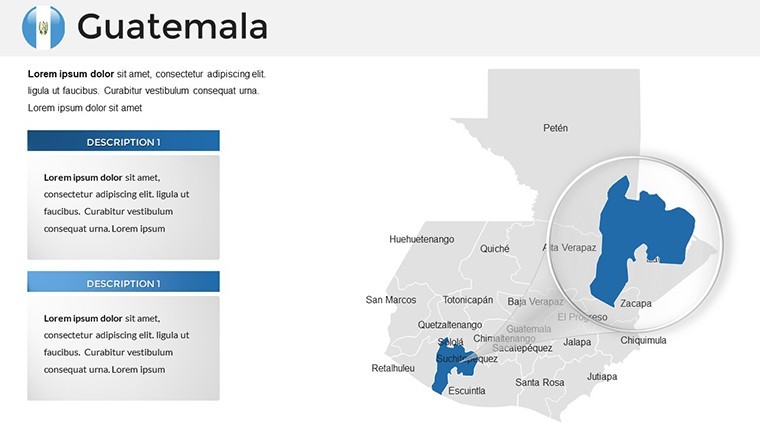
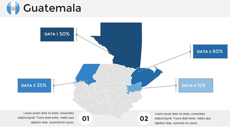
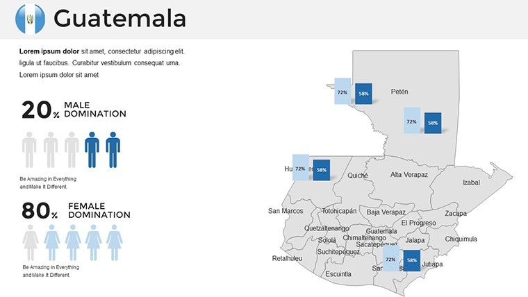
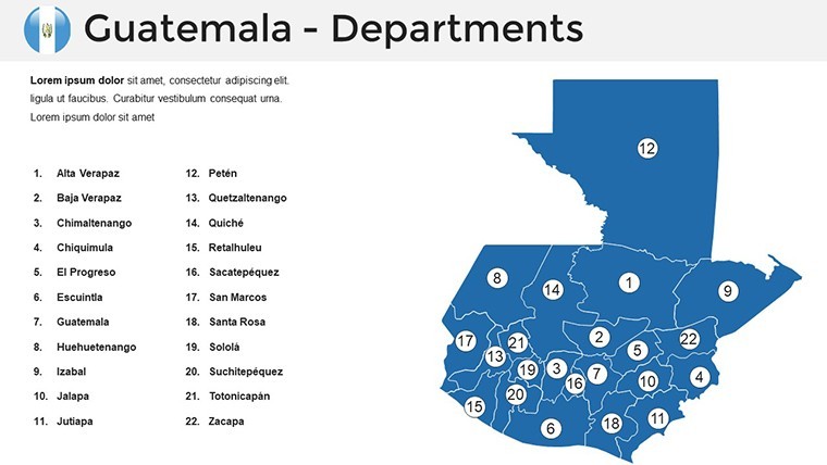
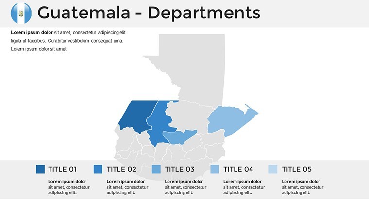
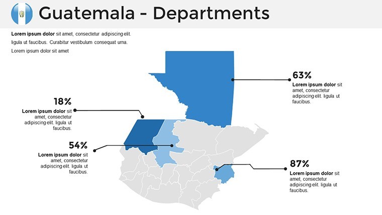
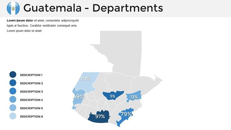
Engineered for cross-industry appeal, this deck spotlights Guatemala's 22 departments with interactive flair - hover effects on digital exports or color-coded zones for demographic dives. Customize layouts to fit your pitch: enlarge Quiché for cultural spotlights or integrate timelines for historical evolutions. Optimized for Apple Keynote, it merges modern aesthetics with functional depth, ensuring your visuals not only inform but also enchant.
The template's strength? It democratizes design expertise. Whether layering economic indicators over Alta Verapaz or animating trade flows from Escuintla ports, edits feel intuitive, turning novices into visual virtuosos.
Why This Template Captivates
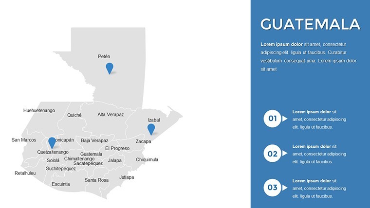
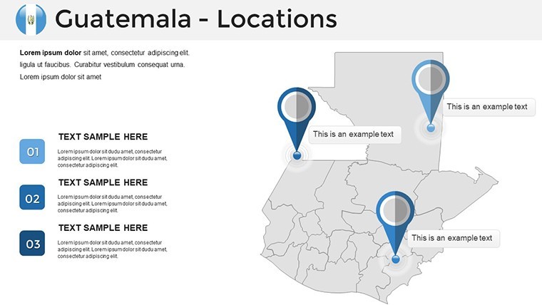
Explore the hallmarks of excellence here. Region-Specific Precision: Base maps delineate every department, from Izabal's bays to Huehuetenango's mountains, with labels that snap to edges for accuracy.
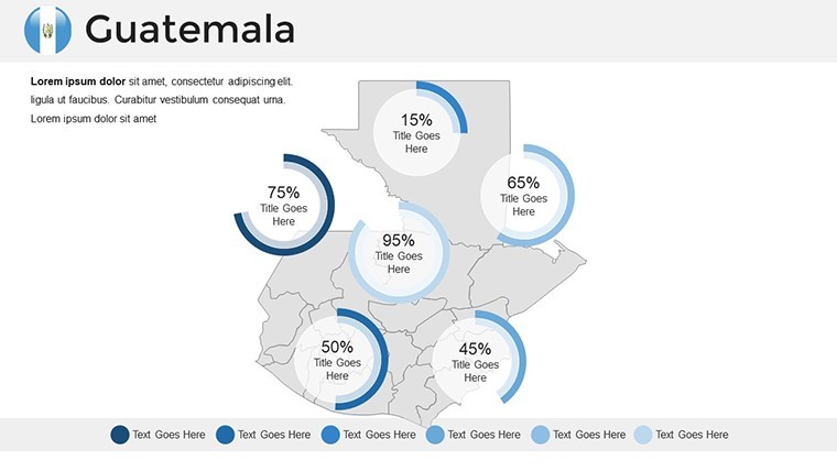
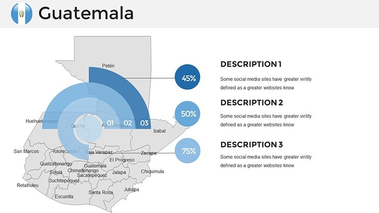
- Infographic Arsenal: Interactive charts like radial gauges for biodiversity metrics or Sankey diagrams for resource streams.
- Customization Spectrum: Shift palettes from tropical greens to corporate neutrals, resize without artifacts.
- Compatibility Edge: Native to Keynote, with easy PowerPoint conversions for hybrid teams.
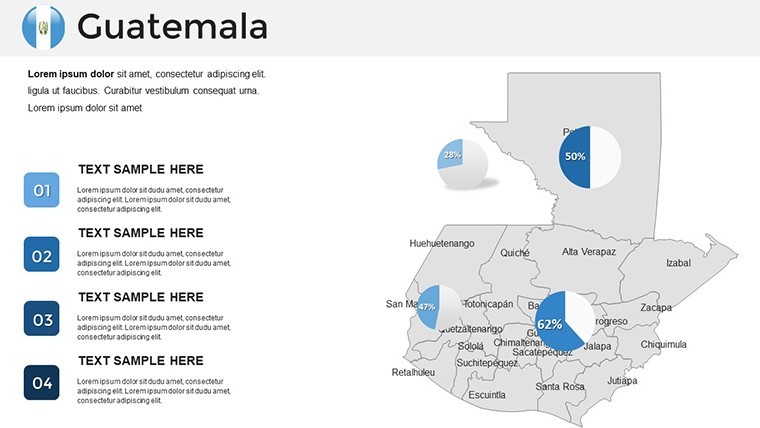
Such elements empower diverse users: a marketer might spotlight coffee exports from Sacatepéquez with pie overlays, evoking the aroma of fresh brews.
Mastering Edits: A Guided Path
- Acquire and Access: Download the .key, open in Keynote to survey the slide suite.
- Zone In: Select departments, apply thematic fills - e.g., oranges for agricultural yields.
- Enrich the Canvas: Insert icons for landmarks like Tikal, pair with adjacent data visuals.
- Harmonize Delivery: Test animations for phased reveals, refining for your venue's scale.
This blueprint ensures polished outputs, akin to seasoned cartographers' workflows.
Audience-Aligned Applications
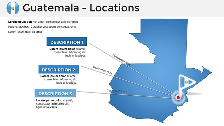
Executives harness it for expansion blueprints: vector paths connect Guatemala City hubs to rural outposts, bolstered by comparison tables. Educators animate geography lessons, unveiling department evolutions to foster spatial awareness.
Marketers deploy for campaigns - heat maps trace consumer trends in Sololá, tying to sales funnels. Consultants, much like those in World Bank analyses, use it for insight delivery, grounding policy in geographic truth.
Pro Technique: Multi-Layer Dynamics
Build depth with stacked transparencies: base geography under demographic veils, animating to dissect layers like archaeological digs.
Superior to Stock Solutions
Outpaces free vectors with integrated, thematic synergy - no mismatched scales or export woes. For $48, it's a perennial ally for Guatemala gazes.
Download to sculpt presentations that resonate regionally.
FAQ: Guatemala Keynote Maps
Fully customizable in Keynote?Yes, every shape, color, and text field adjusts natively.
Convertible to PowerPoint?With minor tweaks, yes - export preserves most vectors.
Support for queries?Available via email for edits or tech hiccups.
Number of departments covered?All 22, with editable boundaries.
Infographic variety?Over 20 types, from bars to flows.
Instant access?Download immediately post-purchase.
Good for
- Project roadmaps and sprint plans
- Product launch timelines
- Quarterly or annual review decks
- Company history and milestone summaries
Licence
reviews
Needed some quick regional maps for a school assignment and this was easier than expected.
The slide colors are calm and the map shapes were clear during presentation.
I removed a few extra elements because some slides felt too busy.
It worked okay on my older MacBook without lagging.
Honestly just happy I didn’t have to build maps from scratch.
FAQ
Will it work in Google Slides?
Are fonts embedded?
Can I use this for client work?
What's the refund policy?
Do you update the template after purchase?
Similar templates
See all Keynote Maps →
All 36 slides