Click to zoom
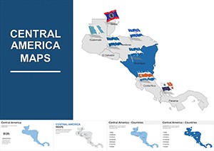
Editable Central America Maps Keynote Pack: Bridging Continents
| Format | .pptx |
| Slides | 56 unique layouts |
| Aspect ratio | 16:9 |
| Compatibility | PowerPoint |
| Animated | No |
| Language | English |
| License | Commercial |
| File size | — |
| Version | v1.0 |
| Last updated | July 2021 |
What's inside
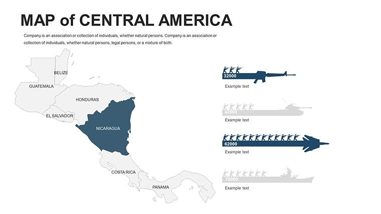
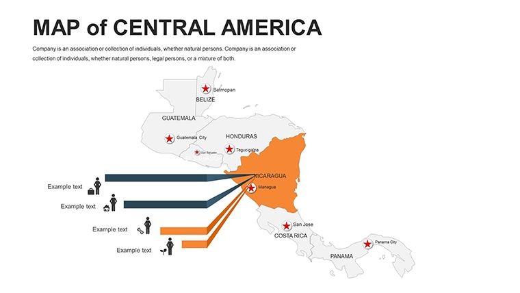
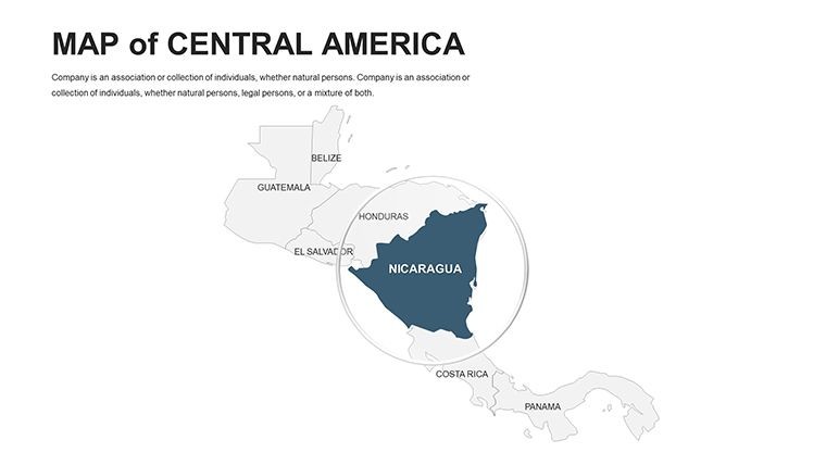
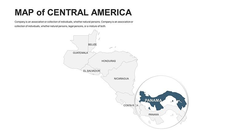
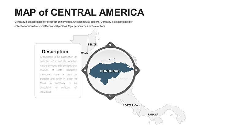
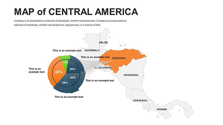
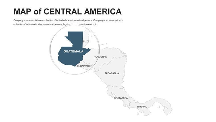
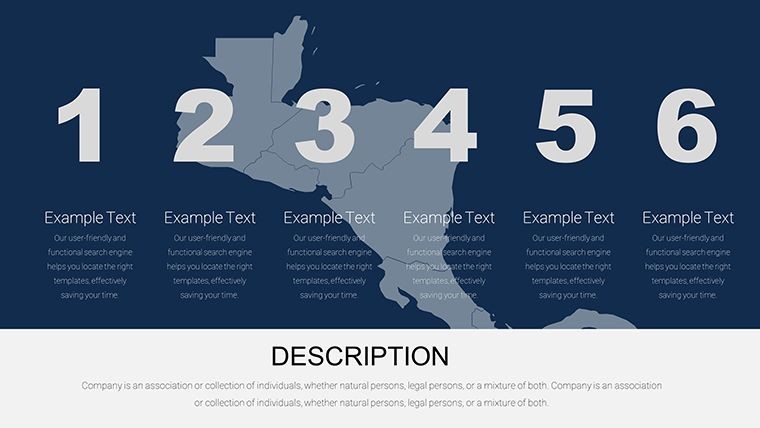
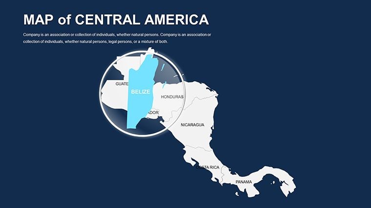
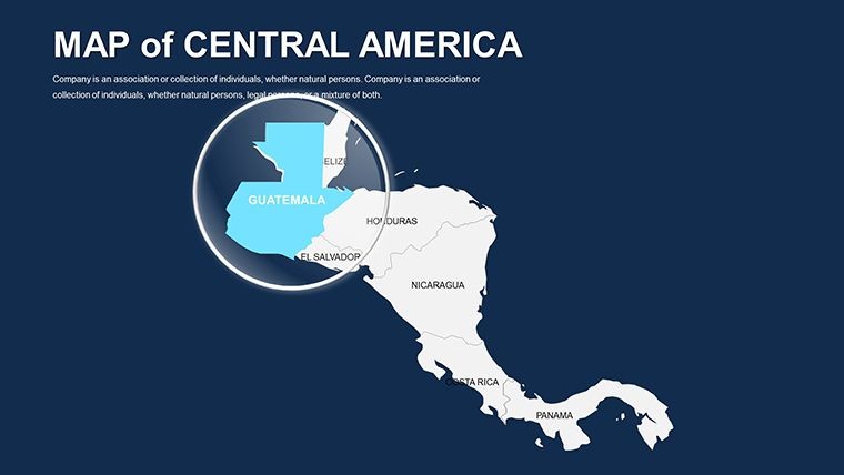
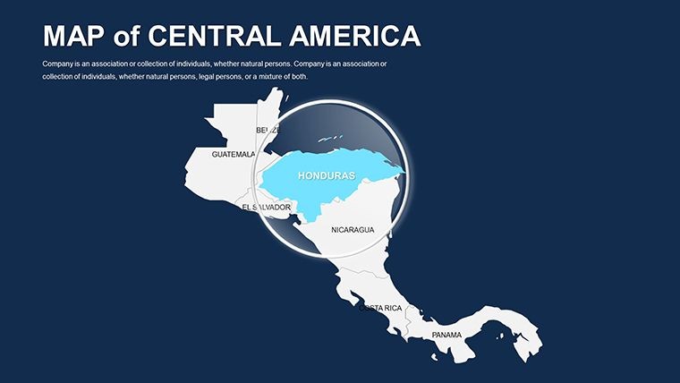
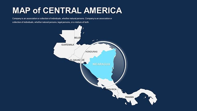
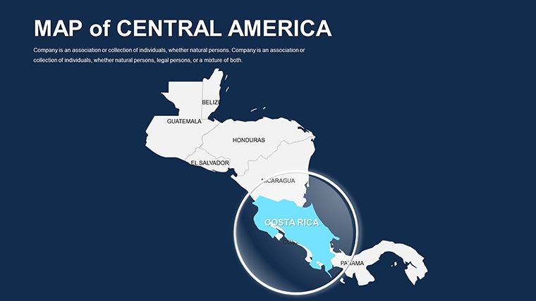
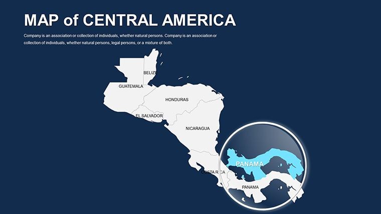
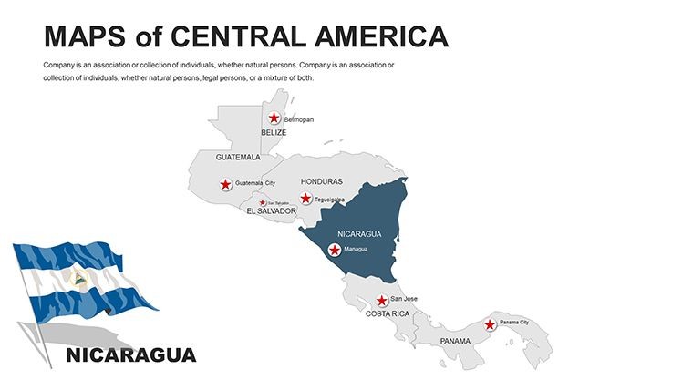
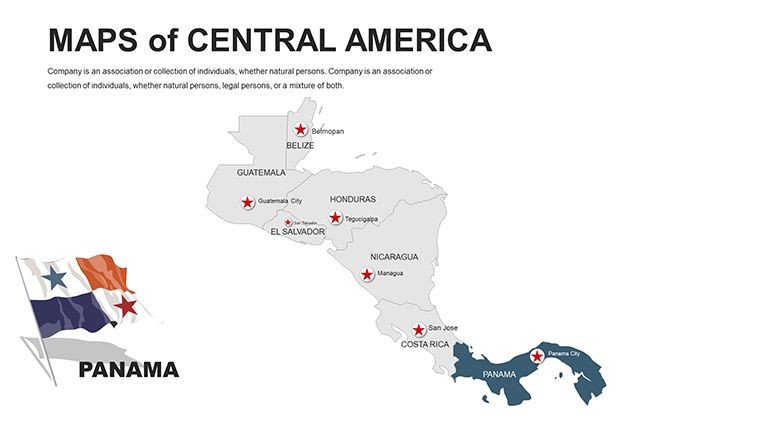
The slender isthmus of Central America, teeming with rainforests, volcanoes, and vibrant cultures, deserves maps that reflect its connectivity and complexity. Our Editable Central America Maps Keynote Pack provides 56 editable slides to do just that, empowering travel agents, economists, and cultural historians to craft presentations that transport and inform. From Panama Canal logistics to Mayan heritage sites, this template makes regional narratives accessible and alluring.
Aligned with geographic benchmarks from the Organization of American States, it offers reliable depictions for discussions on biodiversity or trade pacts. As global interest in sustainable tourism surges, this tool aids in showcasing eco-initiatives in Costa Rica or agricultural exports from Guatemala. Adventure tour operators have employed similar packs to market expeditions, boosting bookings by vivid route mappings. Lecturers appreciate its role in animating lectures on colonial histories or modern migrations. Keynote compatibility ensures a seamless, creative experience from concept to delivery.
Core Features for Immersive Mapping
Curated by travel design connoisseurs, the pack emphasizes modularity and visual appeal. High-res vectors and intuitive grouping facilitate pro-level results. Discover the highlights:
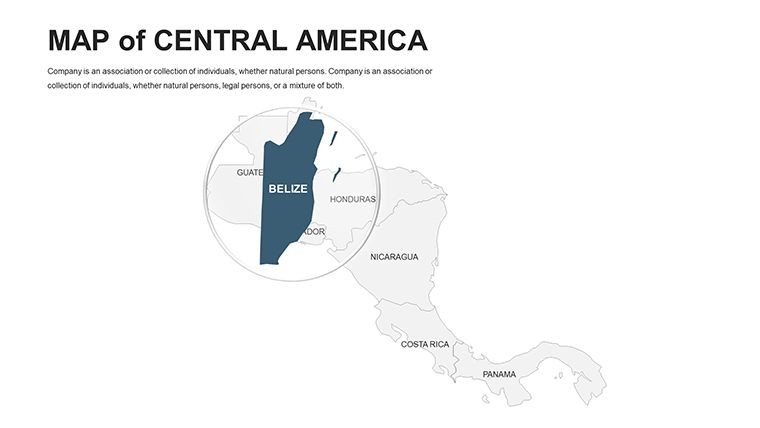
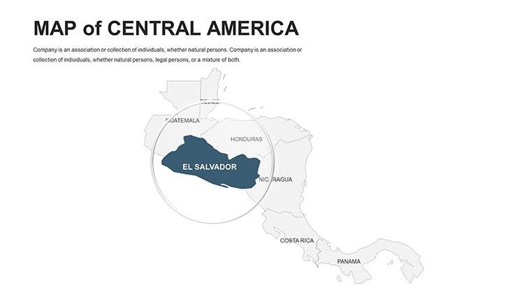
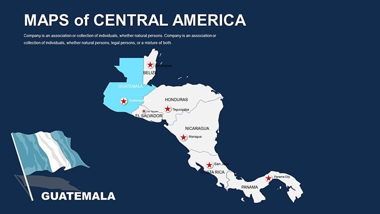
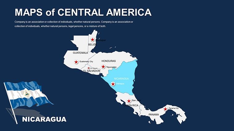
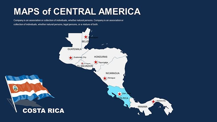
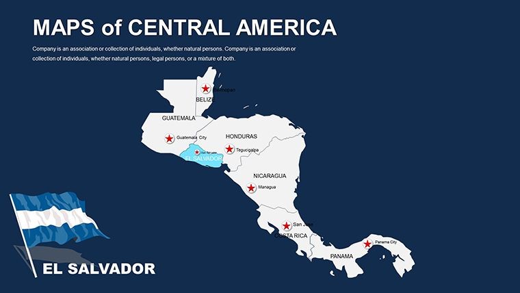
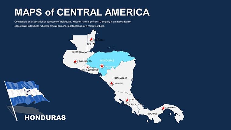
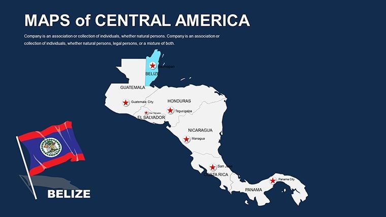
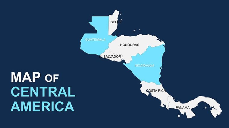
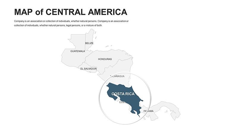
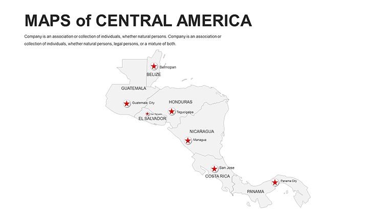
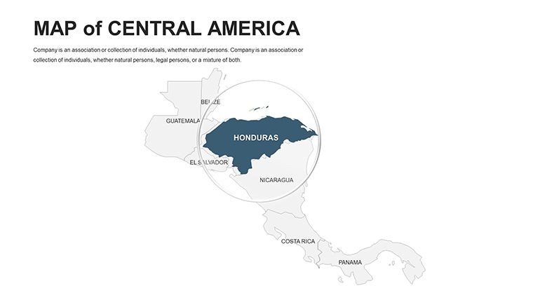
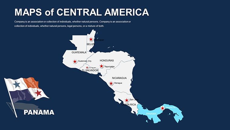
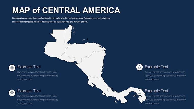
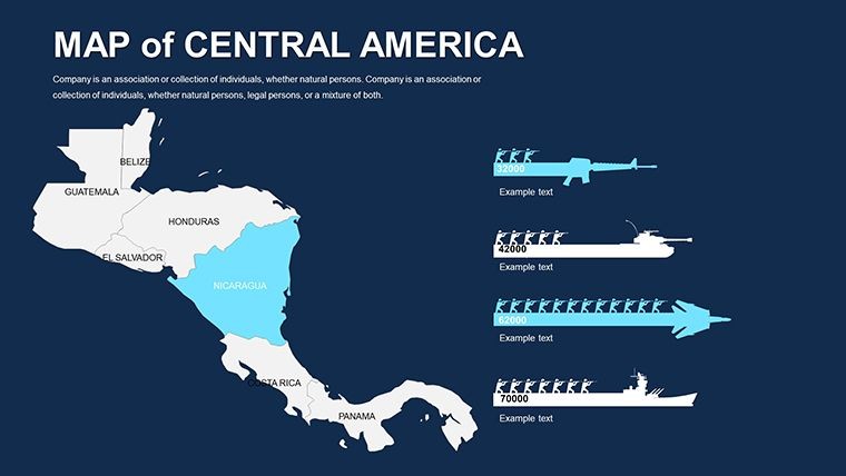
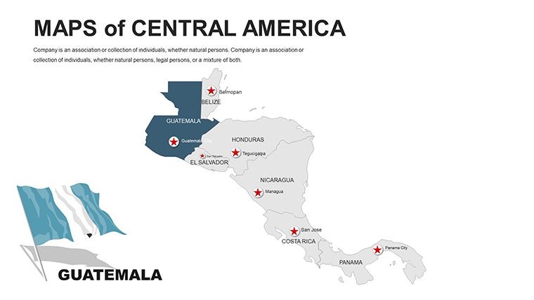
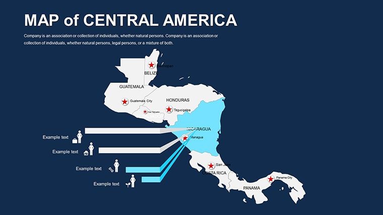
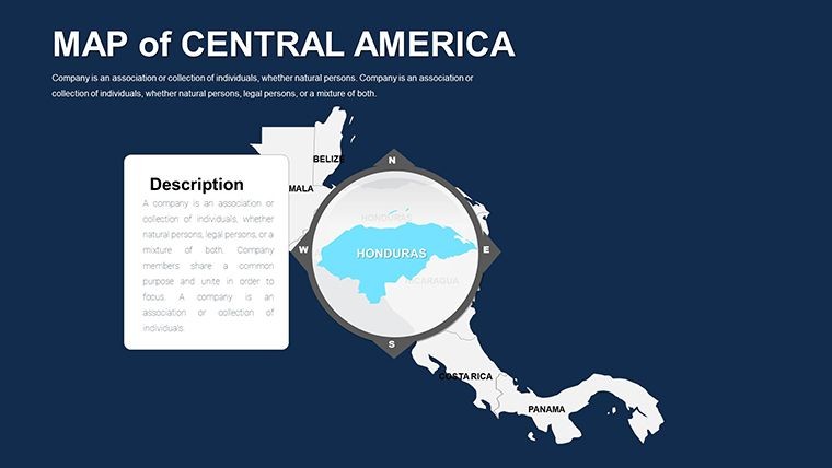
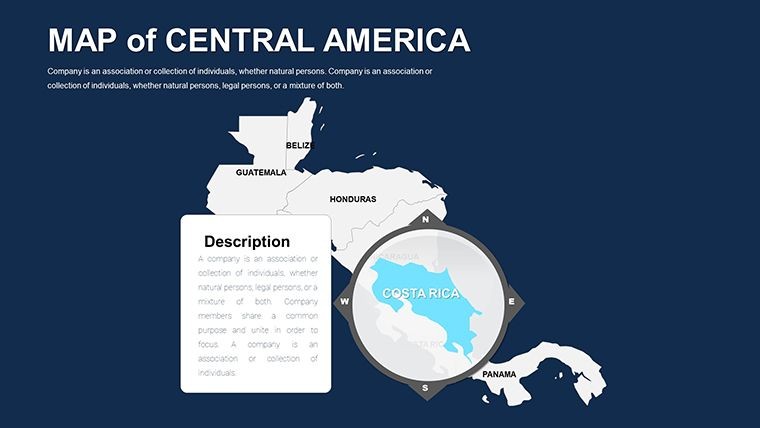
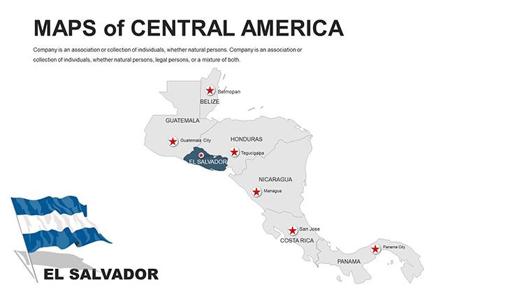
- Extensive Country Coverage: Detailed maps of 7 nations - Belize to Panama - including states, major cities like San José, and offshore islands.
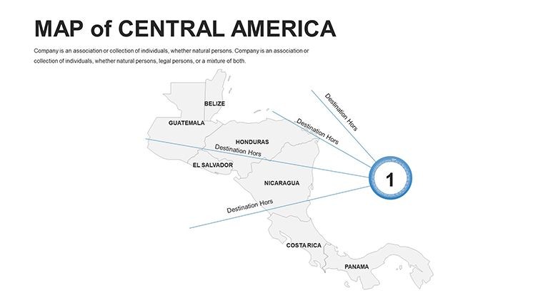
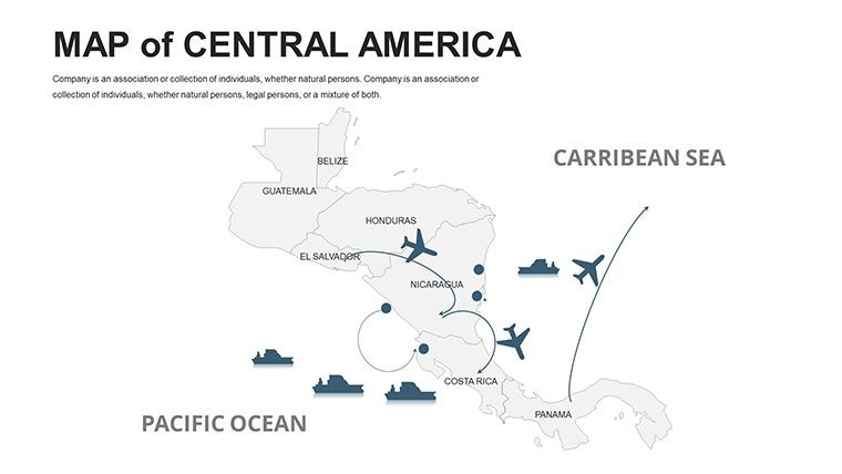
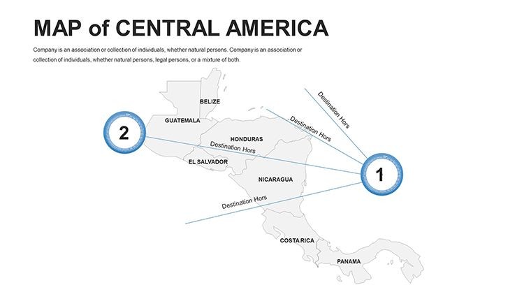
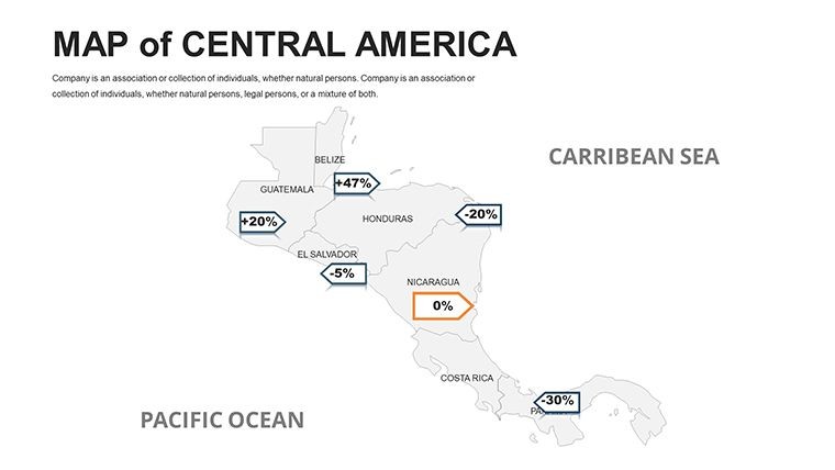
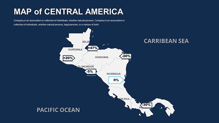
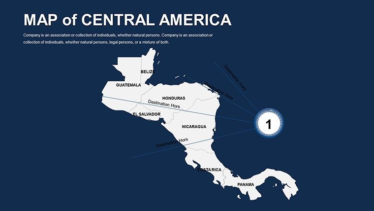
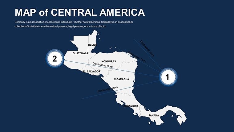
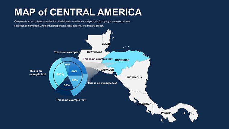
- Custom Data Frameworks: Overlay economic metrics with line graphs or environmental data via shaded relief. Animate circuits for migration or trade flows.
- Symbolic Assets: 80+ icons for volcanoes, beaches, and artifacts, plus flags, all adjustable for cultural sensitivity.
- Expansive Slide Array: 56 designs spanning political schematics, thematic layers, and utility blanks for tailored content.
Superior to ad-hoc sketches, it harnesses Keynote's precision for lag-free interactions and versatile exports. This pack is your bridge to captivating Central American stories.
Slide Insights: Layered Exploration
Launch with Slides 1-14: Political essentials, editable for highlighting unions like SICA. Incorporate tourism stats from WTTC to plot visitor hotspots in Nicaragua. Slides 15-28 address physical traits - tweak for canal systems or Sierra Madre ranges, referencing USGS data on seismic activity.
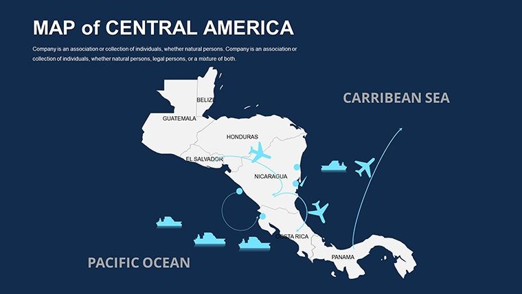
Advance to Slides 29-42: Thematic gems like biodiversity corridors in El Salvador, editable for conservation pitches. Finale in Slides 43-56: Circuit maps for eco-tours or economic infographics on coffee production, inspired by fair-trade initiatives. This architecture supports evolving narratives.
Use Cases That Connect
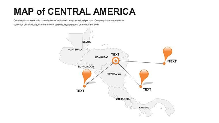
Harness its power diversely. For tourism, trace adventure paths from Honduras' reefs to Guatemala's ruins, akin to successes in Intrepid Travel's campaigns. Economists can visualize export chains, from bananas in Ecuador-adjacent zones to remittances data.
Effortless workflow: Pull in stats from ECLAC databases, calibrate hues to tropical vibrancy, orchestrate animations for island reveals, and preview in full-screen mode. Expert nudge: Leverage Keynote's shapes library to augment custom routes seamlessly.
A notable instance: An NGO mapped disaster resilience in flood-prone Honduras, rallying international support through spatially compelling appeals. It exemplifies the pack's capacity to unite facts and fervor.
Edges Over Standard Solutions
Eschewing static images, full editability extends to curved text for coastlines. Accessibility integrations include voiceover cues, suiting inclusive events. Support for Spanish/English toggles honors the region's linguistics.
For outreach, embed video clips of virtual tours. The benefit: Presentations that not only educate but evoke wanderlust or urgency.
Refinement Techniques for Pros
- Grouping Tactics: Bundle cities and biomes for targeted zooms - streamline eco-focus.
- Animation Flow: Sequence eruptions or waves to dramatize natural phenomena.
- Palette Tuning: Infuse emerald greens and azure blues for isthmus authenticity.
- Enhancement Links: Connect to UNESCO sites for enriched, clickable experiences.
These methods, rooted in Keynote's advanced toolkit, polish your vision. Embrace Central America's essence in every frame.
Connect the dots - Download the Editable Central America Maps Keynote Pack right away and weave continental tales with finesse. Ignite curiosity and drive results today.
Frequently Asked Questions
Which Central American countries are covered?
All 7: Belize, Costa Rica, El Salvador, Guatemala, Honduras, Nicaragua, and Panama, with detailed subdivisions.
Are flags and circuits editable?
Yes, all symbolic and pathway elements are fully customizable for your specific needs.
Suitable for tourism presentations?
Ideal, with maps for routes, attractions, and eco-highlights to engage travel audiences.
Export options available?
Beyond Keynote, export to PDF, images, or PowerPoint with preserved vector quality.
How many slides does it have?
56, offering ample variety for political, geographic, and economic themes.
Does it include city-level details?
Yes, major urban centers are marked and editable, plus blanks for additions.
Good for
- Project roadmaps and sprint plans
- Product launch timelines
- Quarterly or annual review decks
- Company history and milestone summaries
Licence
reviews
Used the world map slides in a research presentation.
The clean layouts made my data easier to follow.
Some fonts looked strange after export.
Still worked fine for class.
FAQ
Will it work in Google Slides?
Are fonts embedded?
Can I use this for client work?
What's the refund policy?
Do you update the template after purchase?
Similar templates
See all Keynote Maps →
All 56 slides