 Click to zoom
Canada Political PowerPoint Maps: 18 Editable PPT Slides
| Format | .pptx |
| Slides | 18 unique layouts |
| Aspect ratio | 16:9 |
| Compatibility | PowerPoint |
| Animated | No |
| Language | English |
| License | Commercial |
| File size | — |
| Version | v1.0 |
| Last updated | April 2025 |
What's inside
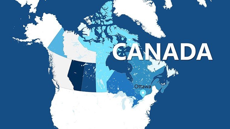
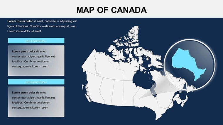
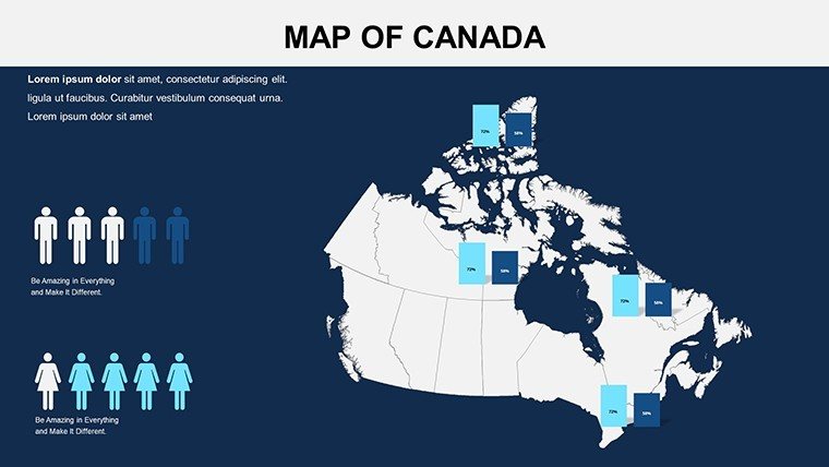
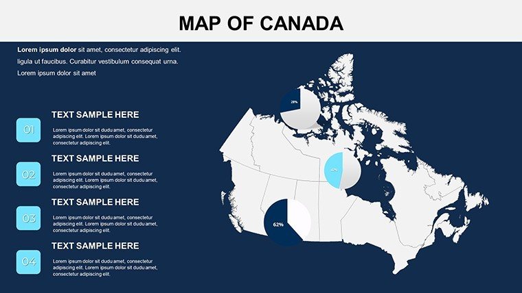
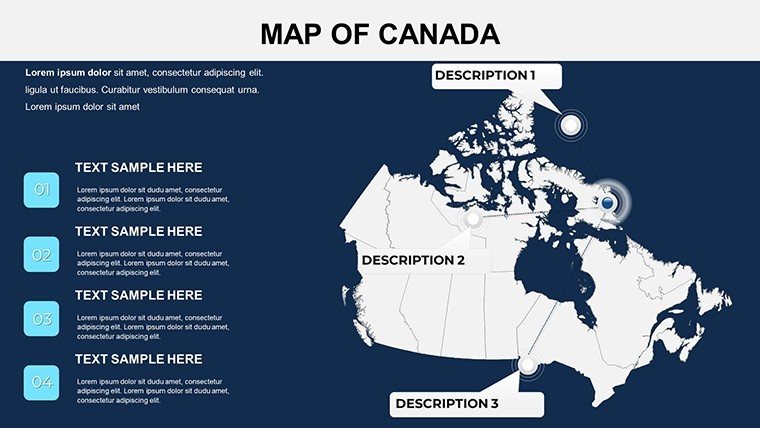
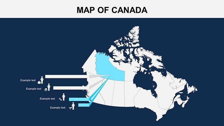
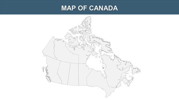
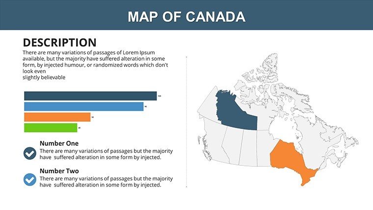
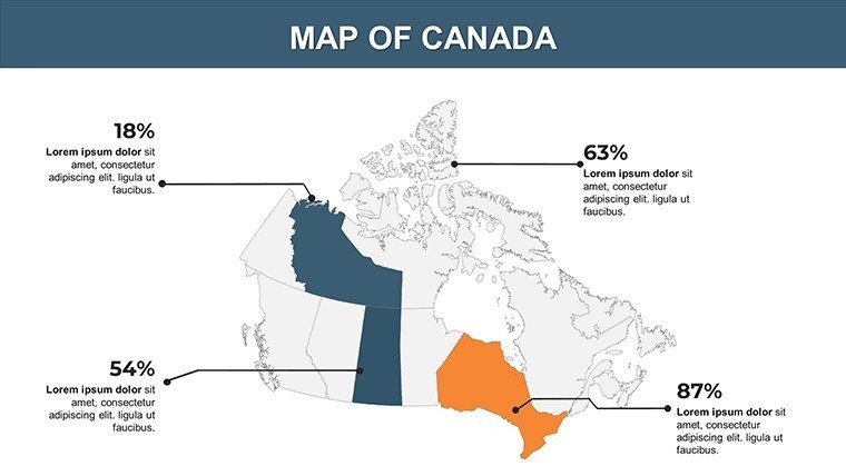
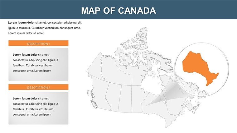
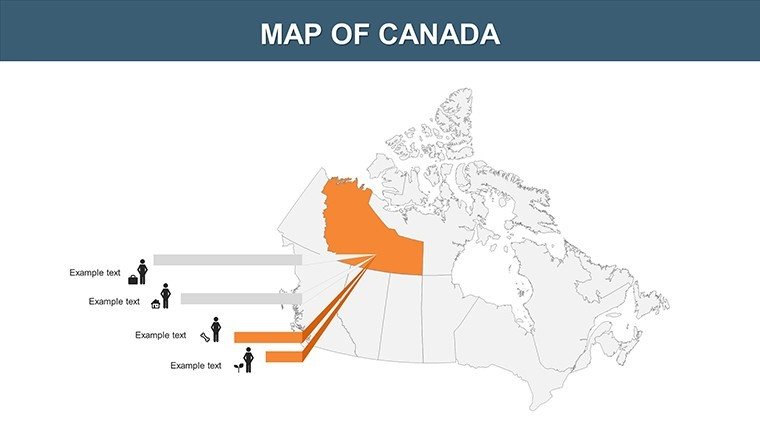
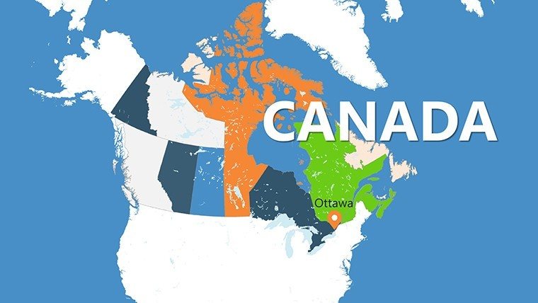
Navigate the political landscape of Canada with unparalleled detail using our editable PowerPoint maps template. Featuring 18 high-resolution slides, this set covers the nation's 10 provinces and 3 territories, including major cities like Ottawa, Toronto, and Vancouver. Ideal for political analysts dissecting election trends in Quebec, teachers exploring federal structures in classrooms, or businesses assessing regional policies in Alberta, these maps blend accuracy with flexibility. Compatible with both PowerPoint and Google Slides, they allow swift customizations of fonts, colors, and labels to fit your vision. Infuse your presentations with pre-designed infographics that highlight boundaries and trends, making abstract concepts tangible and your delivery more persuasive - perfect for turning data into decisions.
Benefits That Give Your Presentations a Visual Edge
This template delivers more than just maps; it provides a platform for strategic insights. Slides range from national overviews showing provincial alignments to detailed views of territories like Nunavut's remote communities. With high-definition designs, your visuals remain professional even in print, adhering to cartographic standards from sources like Elections Canada for boundary precision.
Core Features for Professional Customization
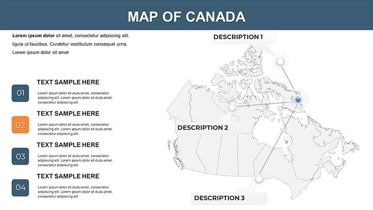
- Accurate Political Boundaries: Up-to-date outlines of provinces like British Columbia and territories, ready for policy overlays.
- City and Regional Labels: Highlight urban centers such as Calgary or Halifax with adjustable text.
- Font and Color Controls: Tailor to your theme, e.g., patriotic reds for national unity discussions.
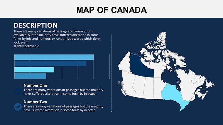
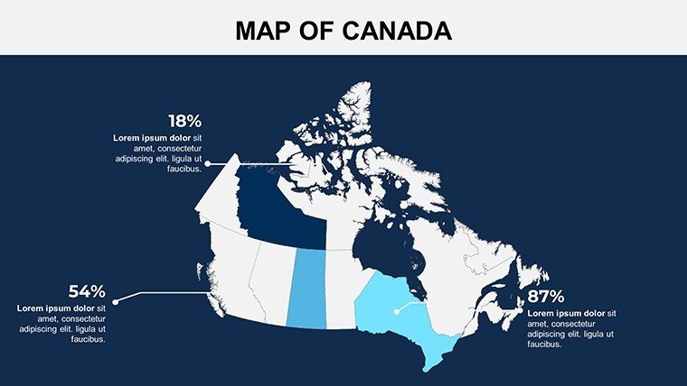
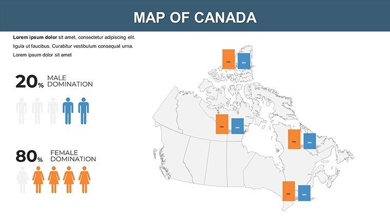
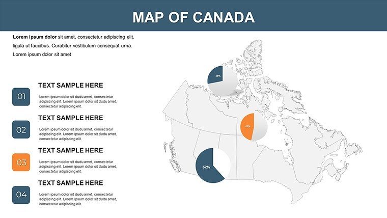
- Infographic Elements: Built-in for quick data visualization, like voting patterns in Ontario.
- Multi-Format Support: Export to PDF or PPTX for broad accessibility.
These attributes mirror techniques used in governmental reports, ensuring your work exudes authority and trustworthiness.
Who Benefits and How: Diverse Applications
Political analysts can map out referendum impacts, as in recent Quebec sovereignty debates, using layers to show demographic shifts. Teachers engage students with interactive slides on constitutional history, animating the evolution of Newfoundland's confederation. Students preparing theses on environmental politics might illustrate pipeline routes through Saskatchewan, backed by data from the Canadian Energy Regulator.
For businesses, these maps aid in compliance mapping, visualizing tax variations across Manitoba borders. A Montreal consultancy case study demonstrates how such tools clarified investment opportunities in the Maritimes, leading to informed strategies. Outpacing simple online map makers, our template includes ready-to-use legends and scales, streamlining complex presentations and emphasizing key narratives.
Step-by-Step Customization Guide
- Import the template into PowerPoint or Google Slides.
- Choose a slide, e.g., a focused view of the Prairie provinces.
- Edit labels for cities like Edmonton, adding relevant annotations.
- Apply color coding for data sets, such as economic growth rates.
- Insert infographics or charts for enhanced depth.
- Preview and adjust for smooth transitions in your deck.
This guide facilitates quick adaptations, integrating with collaborative platforms for team inputs.
Why Our Maps Stand Out in a Crowded Field
Generic templates often lack the political nuance our set provides, like detailed territorial divisions essential for Arctic policy talks. Users appreciate the time savings - up to 60% in design phases - allowing deeper analysis. In research, visualizing trends like migration to urban Yukon hubs becomes effortless, supported by real-world applications in academic papers.
For corporate pitches, these slides have proven instrumental in securing partnerships, as in energy sector proposals for Northwest Territories resources.
Download and Dominate Your Next Presentation
Seize the opportunity to present Canada's political tapestry with sophistication. Get our template now and craft visuals that command attention and convey expertise.
Frequently Asked Questions
Are the maps compatible with Google Slides?Yes, fully editable in Google Slides as well as PowerPoint for flexible use.Do the slides include major cities?Absolutely, with labels for key urban areas like Vancouver and Montreal, customizable as needed.How accurate are the political boundaries?Based on current official data, ensuring reliability for professional and educational purposes.Can I add infographics to the maps?Yes, pre-designed elements make it simple to incorporate data visuals.What if I need to print the maps?High-resolution designs support clear printing in various sizes.Is there support for multiple languages?Edit text freely to include French or other languages, ideal for bilingual presentations.Good for
- Project roadmaps and sprint plans
- Product launch timelines
- Quarterly or annual review decks
- Company history and milestone summaries
Licence
reviews
Downloaded this right before a group project meeting.
The highlighted map areas looked clear on screen.
A few slide backgrounds were darker than I wanted.
Charts and icons were easy to edit though.
FAQ
Will it work in Google Slides?
Are fonts embedded?
Can I use this for client work?
What's the refund policy?
Do you update the template after purchase?
Similar templates
See all PowerPoint Maps →
All 18 slides