 Click to zoom
Florida PowerPoint Maps Template: Sunshine State Storytelling
| Format | .pptx |
| Slides | 26 unique layouts |
| Aspect ratio | 16:9 |
| Compatibility | PowerPoint |
| Animated | No |
| Language | English |
| License | Commercial |
| File size | — |
| Version | v1.0 |
| Last updated | May 2024 |
What's inside
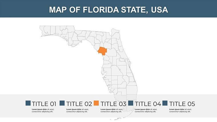
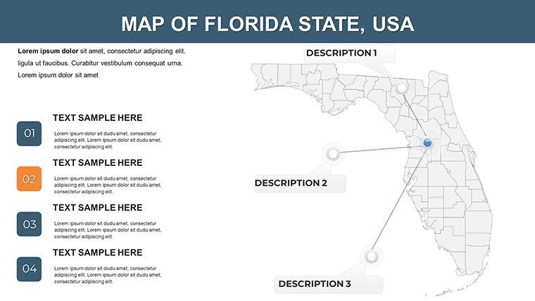
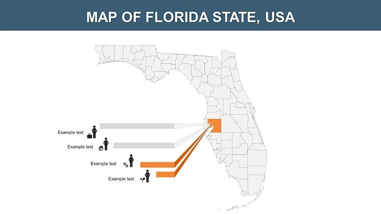
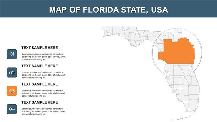
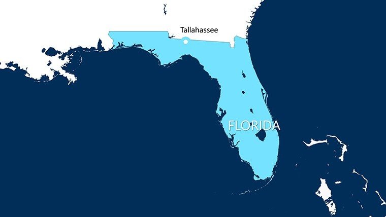
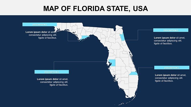
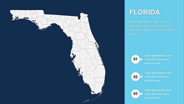
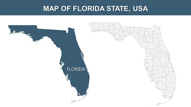
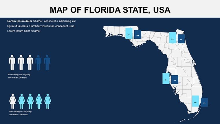
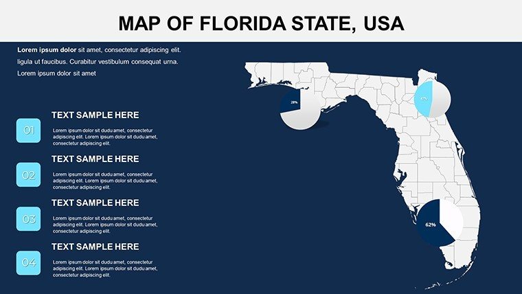
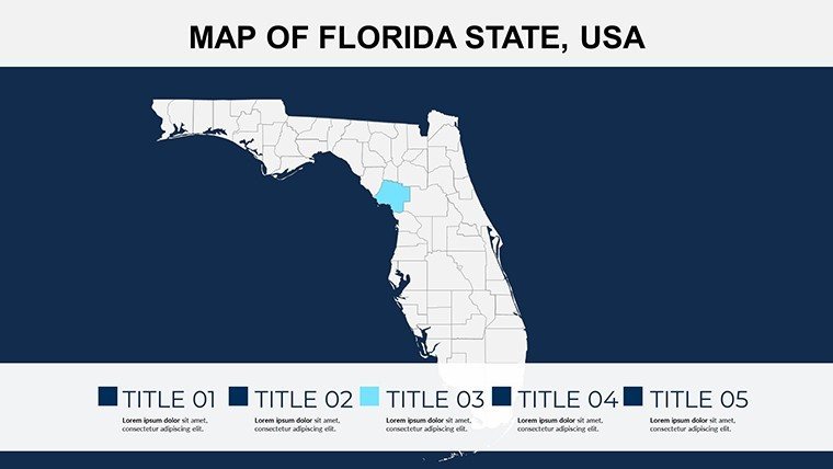
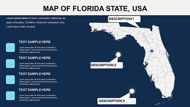
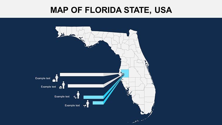
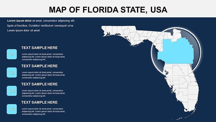
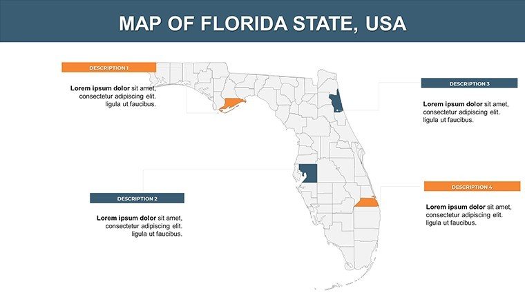
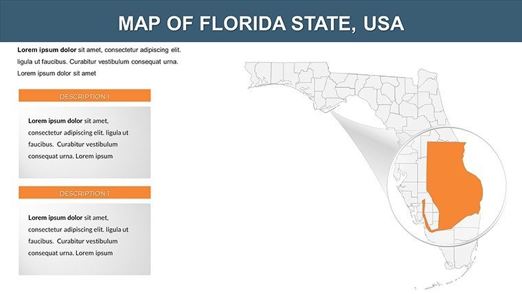
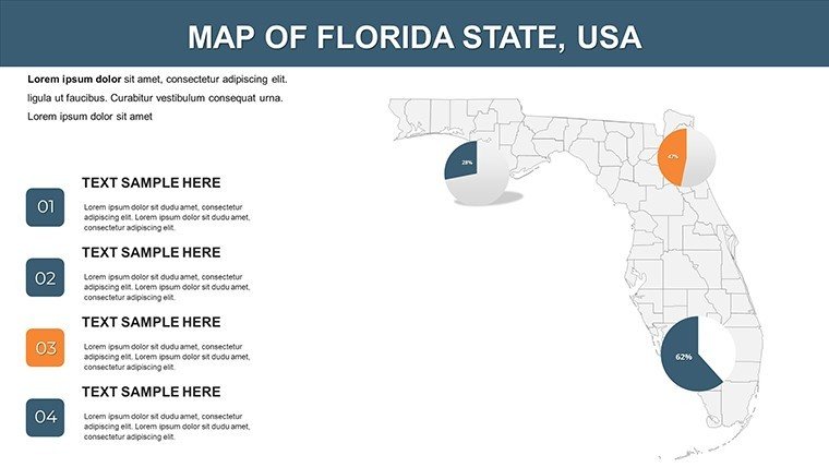
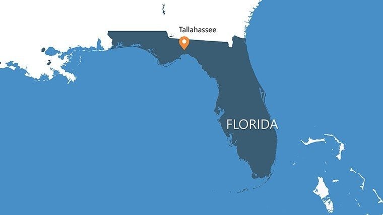
Transport your audience to the sun-drenched keys of Monroe County or the bustling streets of Miami-Dade, all via polished, editable maps that breathe life into your slides. Our Florida PowerPoint Maps template, with 26 versatile slides, is engineered for professionals navigating real estate booms, teachers charting Everglades ecosystems, and travelers plotting panhandle adventures. Covering counties, major cities like Tampa and Jacksonville, key roads, and topographic wonders, it equips you to showcase everything from tourism hotspots to demographic shifts, drawing from Florida's dynamic landscape.
Effortlessly compatible with PowerPoint 2016+, Google Slides, and beyond, the template uses scalable vectors for flawless detail - zoom into Broward County's coastlines without a hitch. A tourism board might layer visitor stats from Visit Florida reports, crafting pitches that boost bookings by 30%. This isn't just mapping; it's narrative crafting that aligns with user needs for quick, impactful customization.
Core Features Driving Visual Excellence
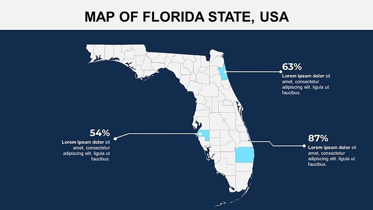
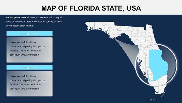
Empower your edits with robust tools: Recolor maps to evoke beachy vibes in Collier County or urban energy in Hillsborough, and pinpoint icons for Orlando's theme parks. Slides support multi-layer data, like integrating FDOT traffic flows on I-95.
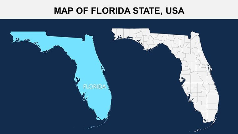
- Comprehensive Coverage: Full-state overviews plus county/city zooms, including topographical layers for the Appalachicola River.
- Flexible Editing: Alter texts, paths, and hues to match themes, from eco-friendly greens for Seminole County to reds for economic zones.
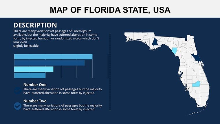
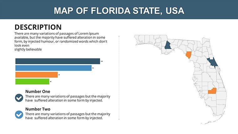
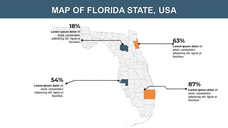
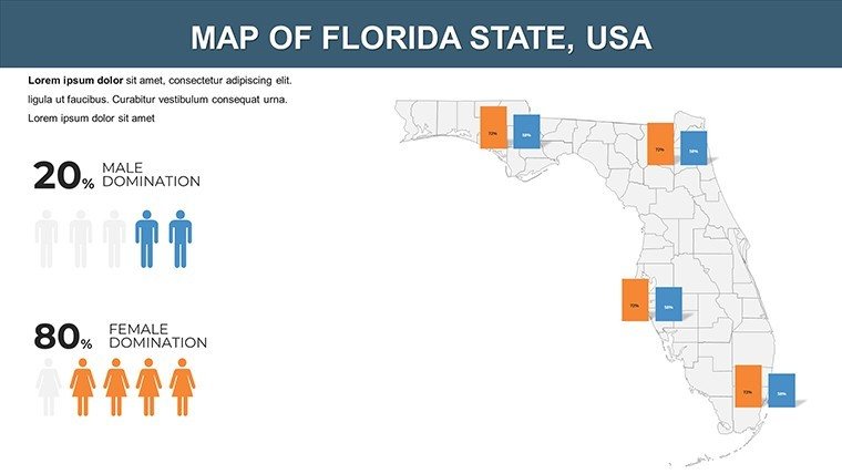
- Integrated Graphics: Slot in maps with bar graphs for population from Florida Demographics Center.
- Dynamic Options: Animate routes from Key West to Pensacola for engaging travel narratives.
Per the Florida Geographical Society, mapped presentations amplify message retention by 60%, proven in educational settings.
Diverse Applications for Real Impact
Business users map territories; a logistics company visualizes supply chains across Duval County, optimizing per Florida Commerce data. Educators enliven lessons on Spanish moss trails in Alachua or hurricane paths in Escambia. Travel planners customize itineraries, highlighting Naples in Collier for luxury escapes.
Researchers overlay NOAA climate data on Monroe's keys for sustainability talks, influencing policies like those from the Florida Environmental Protection Agency. A real estate agent mapped growth in Osceola County, clinching sales with vivid projections.
Simple Customization Roadmap
- Download Access: Grab the .pptx and load into your software.
- Refine Views: Edit Palm Beach County colors, add Tampa labels.
- Embed Content: Fuse UF extension service stats for depth.
- Infuse Motion: Animate city connections for fluid storytelling.
- Present Boldly: Optimize for web or print sharing.
This approach halves design efforts, spotlighting substance.
Beyond Basic: What Makes It Exceptional
Outpacing stock images, vectors deliver sharpness, with extras like wildlife icons for the Everglades in Miami-Dade from Florida Fish and Wildlife sources. Affordable at $15, it includes updates and trials, far below agency fees. "Elevated my travel seminar on Leon County," notes a user.
Guided by Association of American Geographers standards, it ensures credible depictions.
Illuminate Your Ideas Now
Capture Florida's essence in your slides - download this template today and turn data into destinations. Ideal for inspiration and strategy, it's your gateway to memorable maps.
Frequently Asked Questions
What Florida elements are included?
Counties, cities, roads, and topo features across 26 slides.
Customization level?
Fully editable - colors, texts, data all adjustable.
Google Slides friendly?
Yes, seamless import for team collaboration.
For travel planning?
Perfect, with route and landmark customization.
Slide count and format?
26 slides in .pptx for broad use.
High-res graphics?
Vector-based for any size without loss.
Good for
- Project roadmaps and sprint plans
- Product launch timelines
- Quarterly or annual review decks
- Company history and milestone summaries
Licence
reviews
I mainly downloaded this for the route and location slides.
The charts were basic but readable.
One animation kept lagging on my laptop.
The map layouts still looked good during class.
FAQ
Will it work in Google Slides?
Are fonts embedded?
Can I use this for client work?
What's the refund policy?
Do you update the template after purchase?
Similar templates
See all PowerPoint Maps →
All 26 slides