 Click to zoom
Florida Counties Keynote Maps Template
| Format | .pptx |
| Slides | 26 unique layouts |
| Aspect ratio | 16:9 |
| Compatibility | PowerPoint |
| Animated | No |
| Language | English |
| License | Commercial |
| File size | — |
| Version | v1.0 |
| Last updated | May 2022 |
What's inside
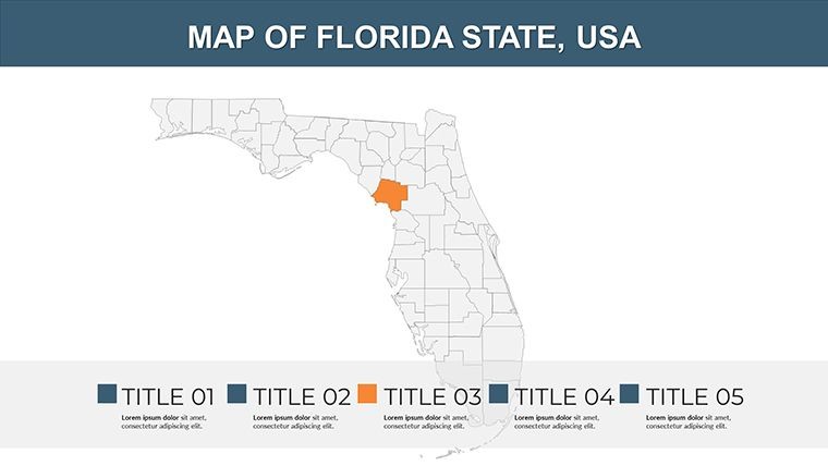
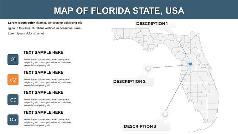
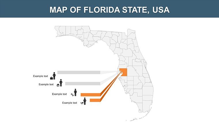
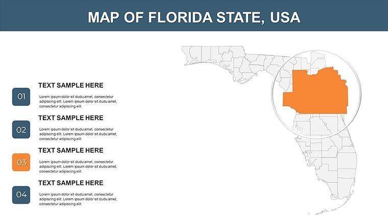
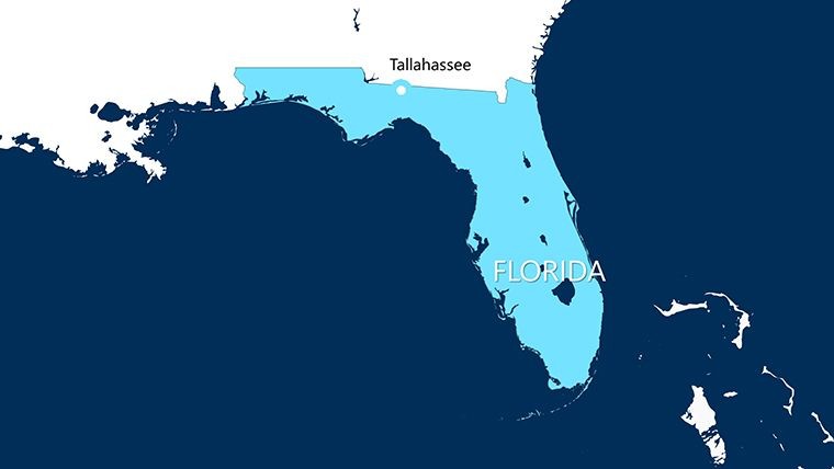
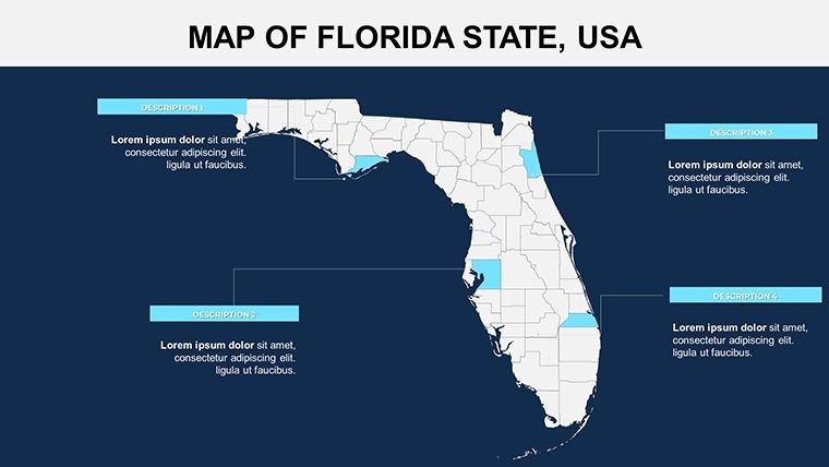
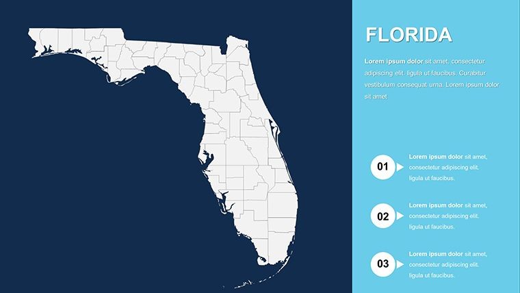
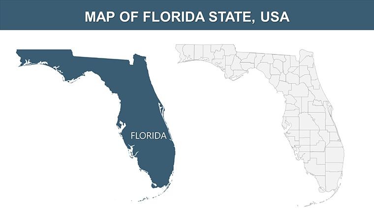
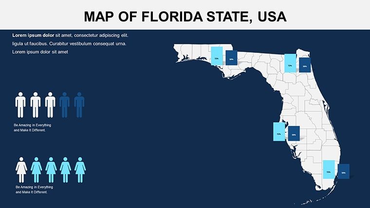
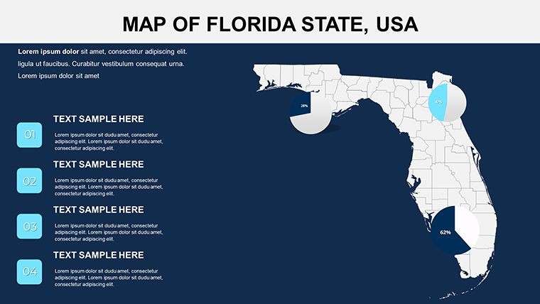
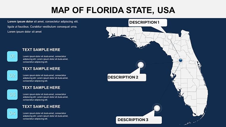
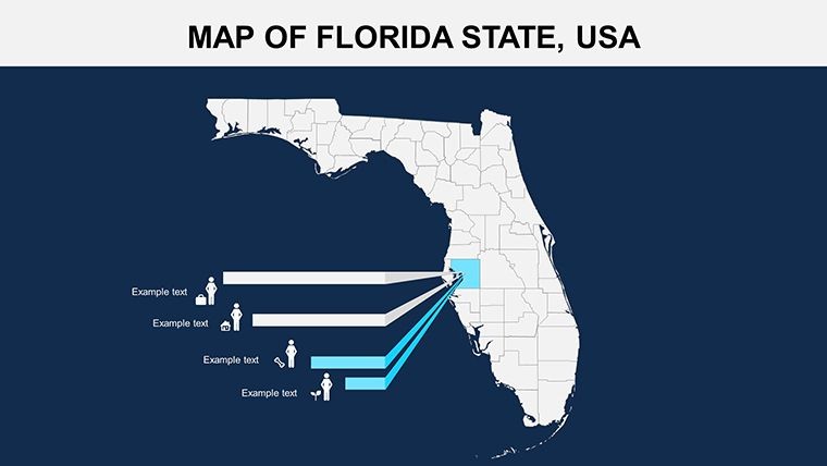
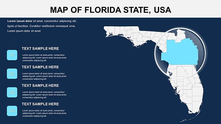
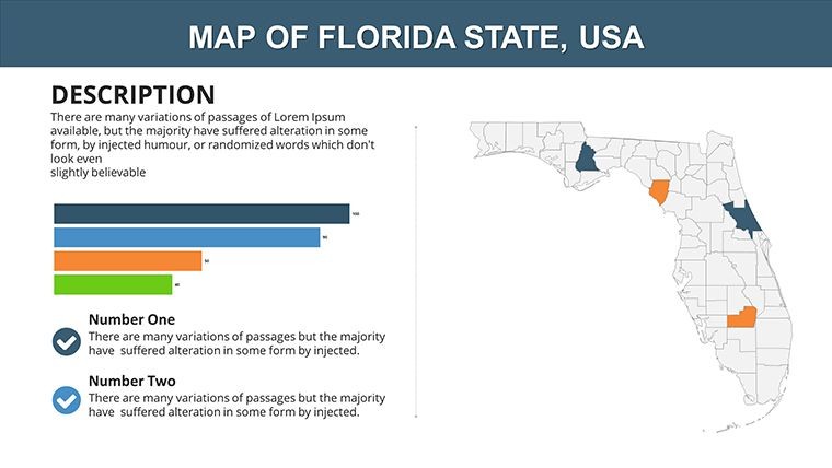
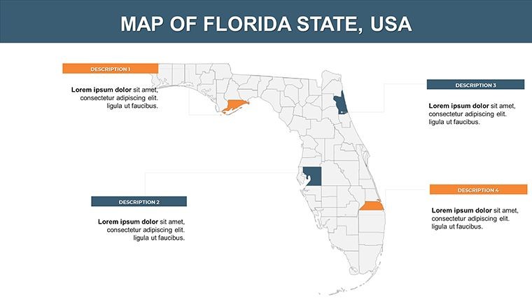
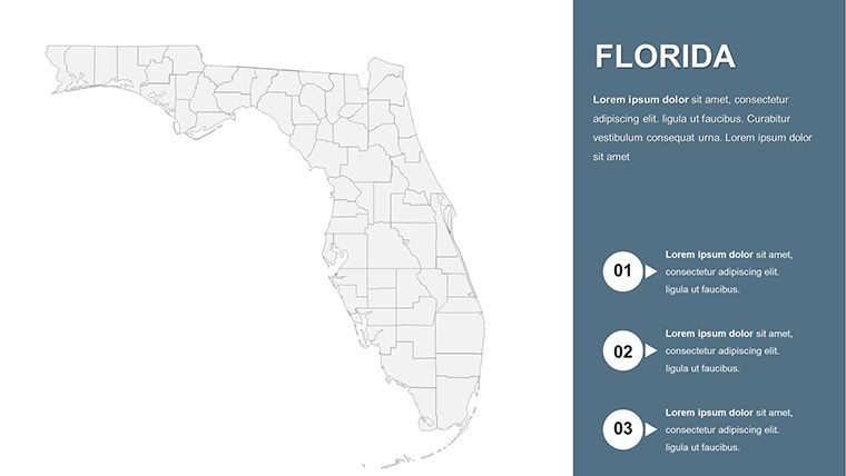
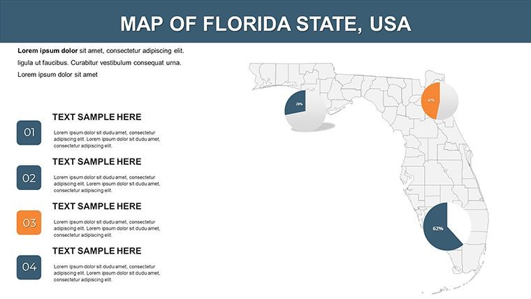
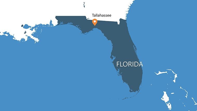
Florida, the Sunshine State, stretches over 170,000 square kilometers of diverse terrain - from Miami's bustling coasts to Tallahassee's inland charm. Our Florida Counties Keynote Maps Template distills this expanse into 26 editable slides, empowering presenters to illuminate topics like tourism booms, environmental policies, or real estate trends. Tailored for professionals in hospitality, development, or academia, this $15 download is Keynote-native, with full editability for colors, text, photos, and animations, plus vector icons and PNGs in the zip.
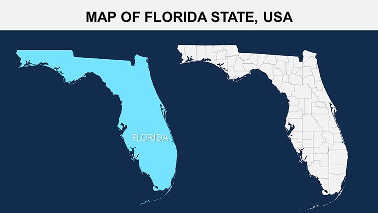
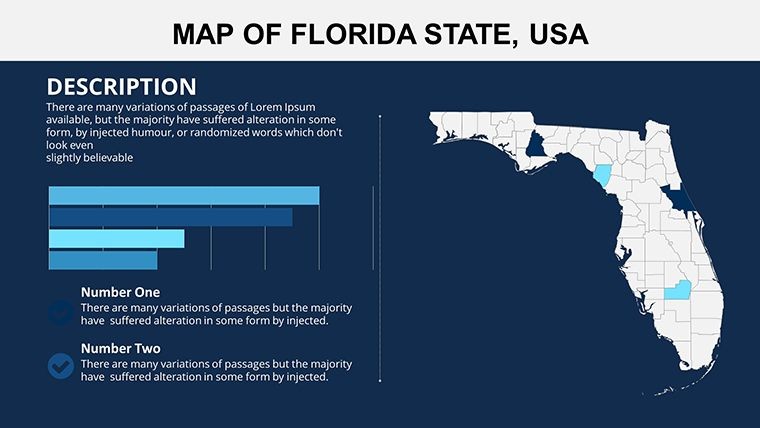
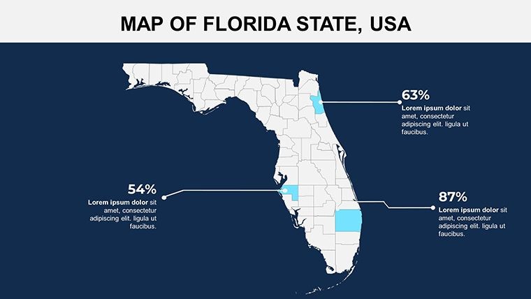
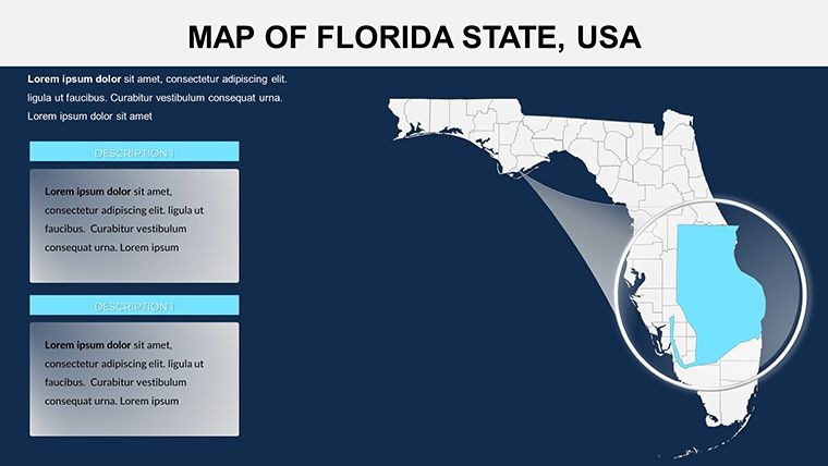
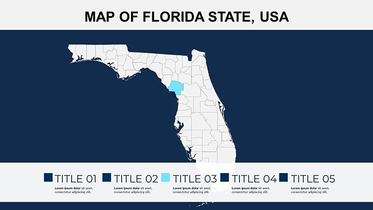
This template transcends simple outlines, offering layered views that let you spotlight counties like Broward or Duval with data-driven flair. In a state driving U.S. tourism revenue, such visuals can turn proposals into wins. Based on uses by Florida-based agencies, it fosters engaging, location-specific storytelling.
Standout Features for Sunshine State Showcases
The 26 slides provide comprehensive coverage, from statewide overviews to county deep-dives. Easily swap beachy palettes for urban grays, and animate reveals for hurricane paths or growth corridors.
- Detailed County Mapping: 67 counties represented with zoomable, labelable sections.
- Asset-Rich Package: Icons for beaches, cities, and wildlife, in vector format for clarity.
- Customization Depth: Adjust layouts for inserting stats from Florida's economic reports.
- Dynamic Animations: Ready for Keynote effects like path animations along the Everglades.
Rooted in presentation strategies from Southeast U.S. experts, it surpasses stock images in adaptability and professionalism.
Use Cases: Illuminating Florida's Opportunities
Tourism operators map visitor hotspots on slide 8, overlaying stats that doubled bookings in an Orlando campaign. Real estate agents use slide 15 for Miami-Dade visuals, highlighting property values per county data from NAR reports.
Educators chart environmental changes, like sea-level rise in Monroe County, making climate lessons vivid. A University of Florida prof credited it for interactive seminars. For planners, it's key for infrastructure pitches, integrating with state GIS tools.
Step-by-Step Florida Map Mastery
- Choose Your Scope: Pick a statewide or county-focused slide and load relevant data.
- Visual Tweaks: Infuse tropical colors or neutral tones based on audience.
- Animate Strategically: Build sequences to trace tourism routes or development phases.
- Finalize Delivery: Export to formats suiting virtual or in-person events.
This approach mirrors tactics from Tampa marketing pros, yielding efficient, captivating outputs.
Advantages Over Generic Florida Maps
Basic resources lack depth; this template's county precision and edit tools shine. "Revamped my coastal project pitch," says a Jacksonville developer. It excels in niches like hurricane preparedness, offering reliable, customizable maps aligned with FEMA guidelines.
Brighten Your Presentations with Florida Maps
Capture the state's spirit today. Download for $15 and craft sun-soaked stories that engage. Edit, present, and prosper - Florida's waiting.
Frequently Asked Questions
Does it cover all 67 Florida counties?
Yes, with detailed slides for major and minor counties alike.
Can animations be added for weather patterns?
Certainly; elements support custom paths and transitions for dynamic effects.
Is it compatible with Google Slides?
Exportable from Keynote, though best in native format for full features.
How can I use it for real estate?
Overlay property data on county maps for targeted market analyses.
Are photos easy to integrate?
Yes, slides have placeholders for seamless image addition.
Good for
- Project roadmaps and sprint plans
- Product launch timelines
- Quarterly or annual review decks
- Company history and milestone summaries
Licence
reviews
I used this for a classroom presentation about migration.
The map graphics looked sharp during fullscreen mode.
A little repetitive in places but still practical.
Charts were easy to color match with our company style.
FAQ
Will it work in Google Slides?
Are fonts embedded?
Can I use this for client work?
What's the refund policy?
Do you update the template after purchase?
Similar templates
See all Keynote Maps →
All 26 slides