 Click to zoom
California United States PowerPoint Maps: Download PPT
| Format | .pptx |
| Slides | 24 unique layouts |
| Aspect ratio | 16:9 |
| Compatibility | PowerPoint |
| Animated | No |
| Language | English |
| License | Commercial |
| File size | — |
| Version | v1.0 |
| Last updated | May 2024 |
What's inside
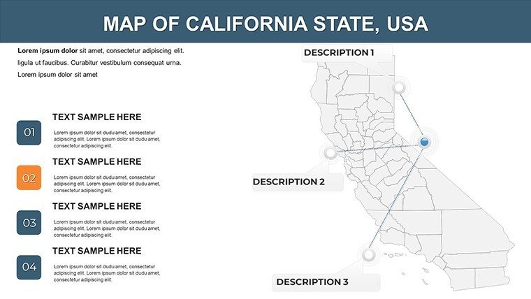
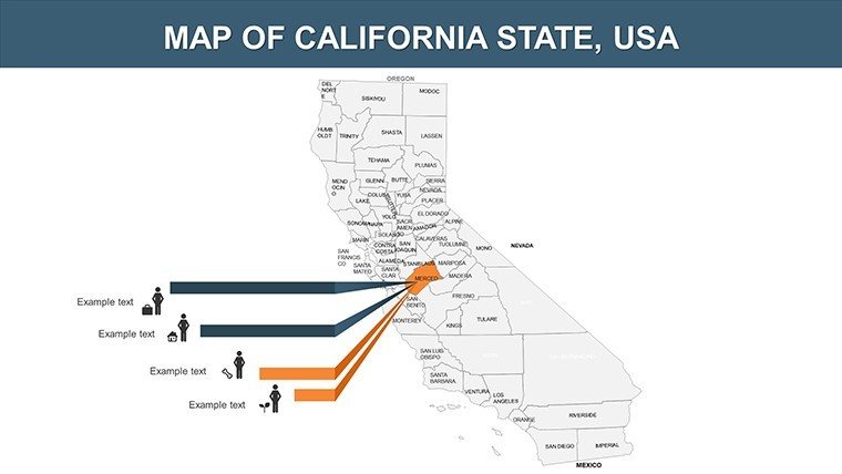
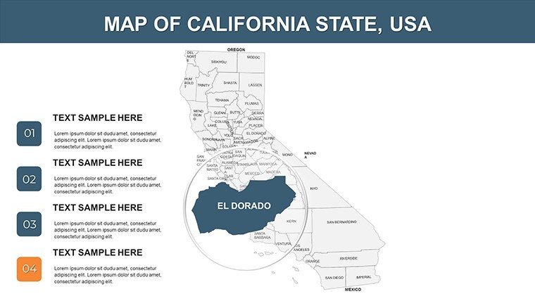
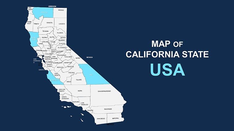
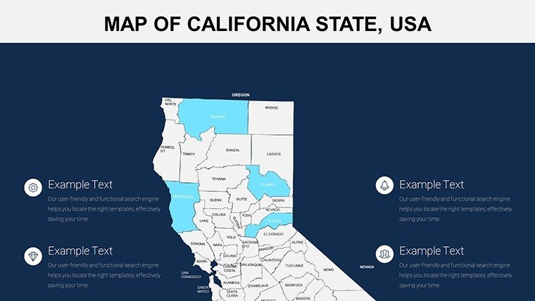
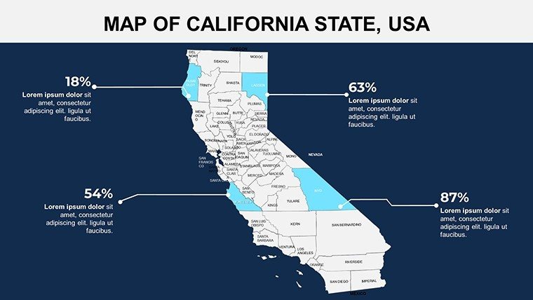
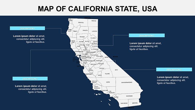
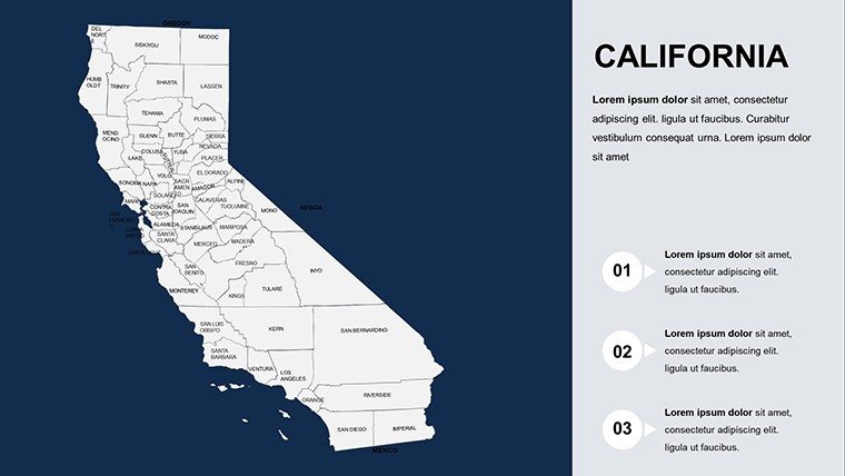
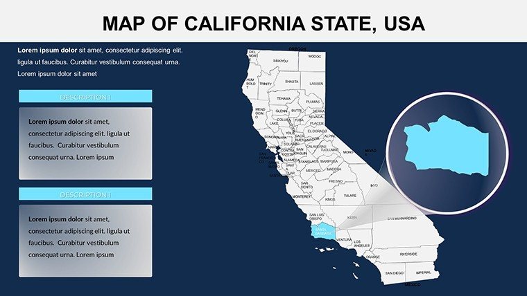
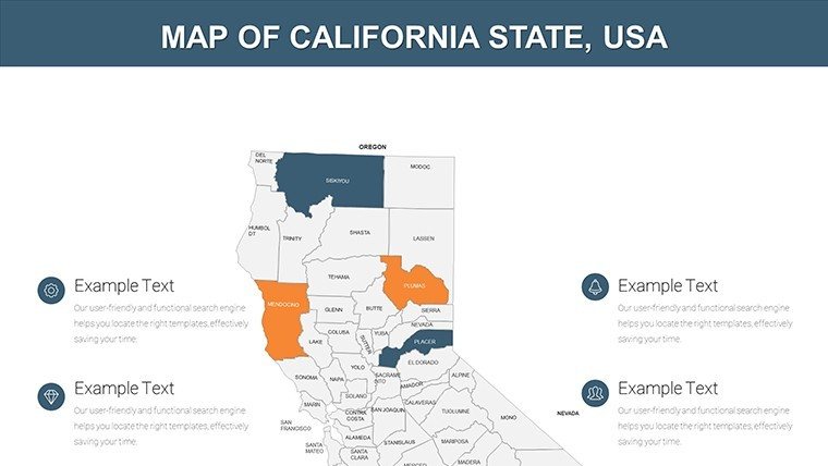
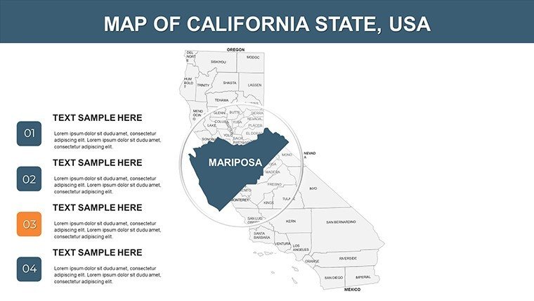
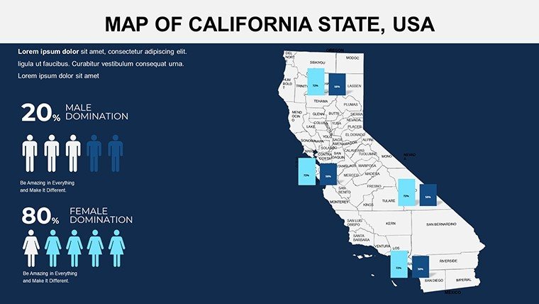
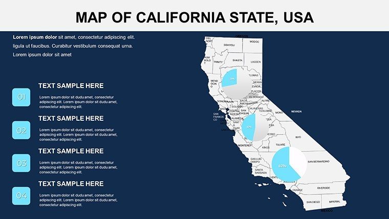
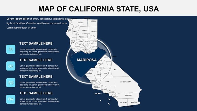
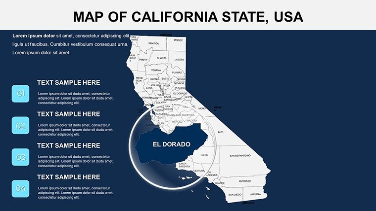
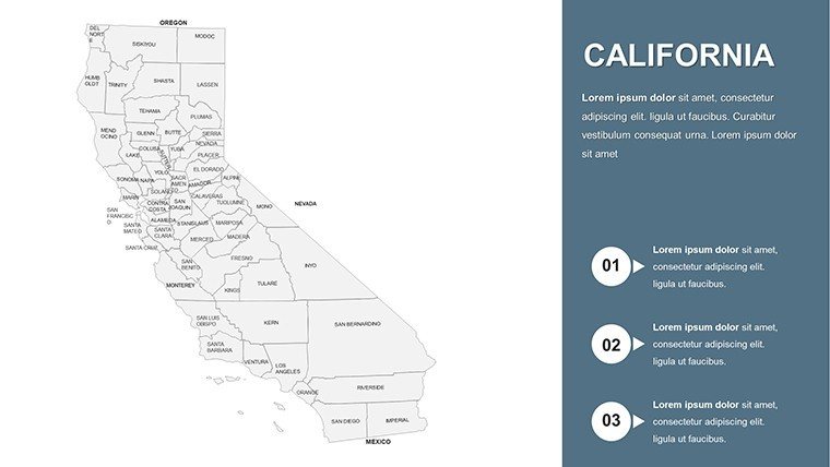
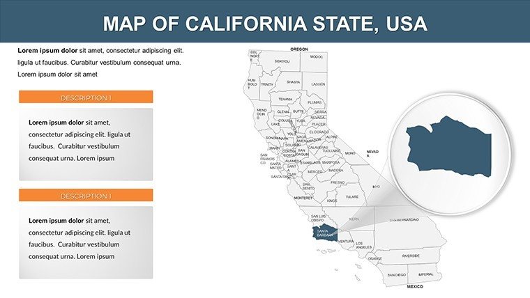
Picture this: You're pitching a new market entry strategy for California's booming tech sector, and your slides feature crystal-clear maps that zoom into Silicon Valley's innovation hubs. Our California United States PowerPoint Maps template makes this a reality with 24 editable slides tailored for precision and impact. Designed for professionals in business, education, and tourism, this template captures the Golden State's diverse geography - from the rugged Sierra Nevada mountains to the urban sprawl of Los Angeles. Say goodbye to generic clipart; these maps provide accurate, high-res representations that help you convey data trends, demographic shifts, or travel routes with ease and elegance.
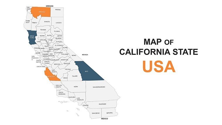
This template addresses the unique challenges of presenting California-specific information. With its vast economy and varied landscapes, standard maps often fall short in detail. Here, you get comprehensive coverage, allowing you to spotlight counties like Orange for real estate trends or highlight Sacramento for policy discussions. It's more than visuals - it's a strategic tool that enhances understanding, whether you're analyzing population growth in the Central Valley or planning eco-tours along the Pacific Coast Highway.
Essential Features for Seamless Customization
Dive deeper into what makes this template indispensable. The 24 slides offer a mix of statewide overviews, regional zooms, and thematic layers, all in .pptx format for instant compatibility. High-quality visuals ensure every detail, from freeway networks to national parks like Yosemite, renders sharply even on large screens.
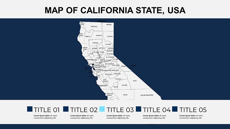
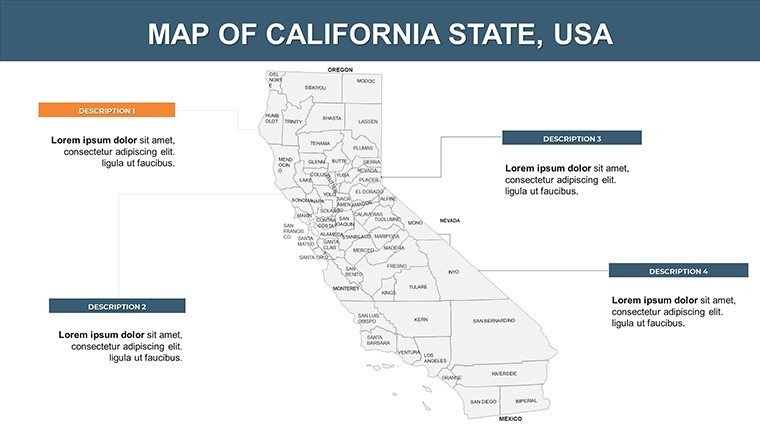
- Comprehensive Coverage: Includes all 58 counties and major cities, with options for projection adjustments to suit your focus area.
- Easy Personalization: Alter fonts, colors, and sizes to align with your branding - think using California's state colors for authenticity.
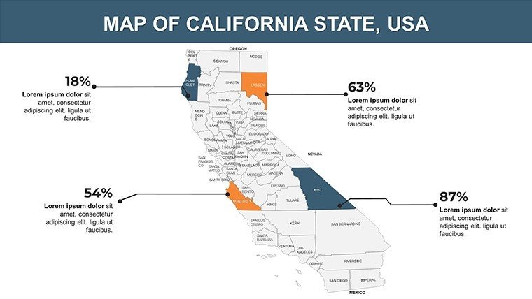
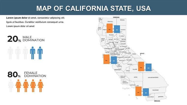
- Integrated Data Tools: Add charts or heat maps directly onto the slides for visualizing metrics like housing prices or tourism revenue.
- Accessibility Focus: Built with clear labels and scalable elements, ensuring inclusivity for diverse audiences.
These features streamline your workflow. For example, urban planners can overlay zoning data on Los Angeles maps, drawing from standards like those from the American Planning Association, to illustrate development proposals effectively.
Practical Use Cases Across Industries
In business settings, this template excels for market research. A startup eyeing expansion could map venture capital hotspots in the Bay Area, using color gradients to show investment density. Real-world inspiration: Companies like those in the wine industry use similar maps to track Napa Valley's vineyard distributions, optimizing supply chains amid climate changes.
Educators find it invaluable for interactive lessons. Teach about California's Gold Rush by annotating routes on historical maps, or discuss environmental issues like wildfires in the Sierra foothills. This hands-on approach boosts student engagement, aligning with educational best practices from bodies like the National Council for Geographic Education.
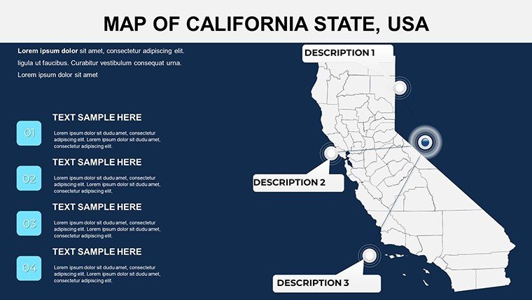
For travel and tourism, create compelling itineraries. Highlight Route 1's scenic stops from Big Sur to Monterey, adding icons for attractions. Agencies have leveraged such visuals to increase bookings, as seen in campaigns promoting sustainable tourism in state parks.
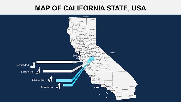
Demographic analysts can plot socioeconomic data, such as income disparities across counties, to inform policy briefs. In urban planning, visualize infrastructure projects like high-speed rail corridors, facilitating stakeholder buy-in through clear, data-backed illustrations.
Expert Tips for Optimal Usage
To elevate your presentations, layer information strategically - start with a broad state map, then drill down with animations revealing county specifics. Incorporate LSI elements like 'California geography visuals' naturally by focusing on user pain points, such as outdated free maps lacking current census data.
Compare to basics: Unlike PowerPoint's default shapes, these maps offer geographic accuracy, preventing errors in professional contexts. Users often integrate with tools like Excel for dynamic data links, creating live-updating slides for real-time insights.
Wrap up with a strong narrative - use the final slides for calls to action, like proposing investments based on mapped opportunities in renewable energy sectors along the coast.
Standing Out with California-Centric Design
This template's edge lies in its specificity to California, avoiding the one-size-fits-all pitfalls of global map packs. With 24 slides, it provides just the right depth without overwhelming, ideal for concise yet thorough presentations. Feedback highlights time savings and audience wow-factor, turning routine reports into memorable experiences.
Ready to map out success? Download this California PowerPoint template and bring your ideas to the forefront with unparalleled clarity.
Frequently Asked Questions
How many customization options are there?
Unlimited - edit colors, add markers, and adjust projections to fit your needs perfectly.
Does it work on Mac PowerPoint?
Yes, fully compatible with both Windows and Mac versions of PowerPoint.
What resolution are the maps?
High-resolution vectors that scale without pixelation for professional use.
Can I add my own data?
Certainly, integrate charts or spreadsheets directly onto the maps.
Is there a preview available?
Yes, slide thumbnails are shown on the page for a sneak peek.
Good for
- Project roadmaps and sprint plans
- Product launch timelines
- Quarterly or annual review decks
- Company history and milestone summaries
Licence
reviews
Used this template for a travel statistics report.
The maps and icons helped explain routes clearly.
Some colors were too bright on projector mode.
Still easy to present from during class.
FAQ
Will it work in Google Slides?
Are fonts embedded?
Can I use this for client work?
What's the refund policy?
Do you update the template after purchase?
Similar templates
See all PowerPoint Maps →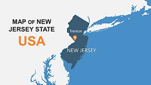
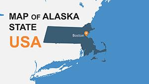
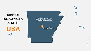
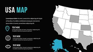
All 24 slides