 Click to zoom
PowerPoint World Maps Template
| Format | .pptx |
| Slides | 15 unique layouts |
| Aspect ratio | 16:9 |
| Compatibility | PowerPoint |
| Animated | No |
| Language | English |
| License | Commercial |
| File size | — |
| Version | v1.0 |
| Last updated | December 2025 |
What's inside
Whether mapping revenue streams across continents or illustrating partnership ecosystems, these slides deliver professional polish that reinforces your strategic credibility from the first click.
Core Layouts and Interactive Elements That Drive Impact
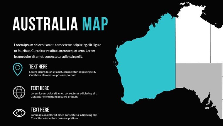
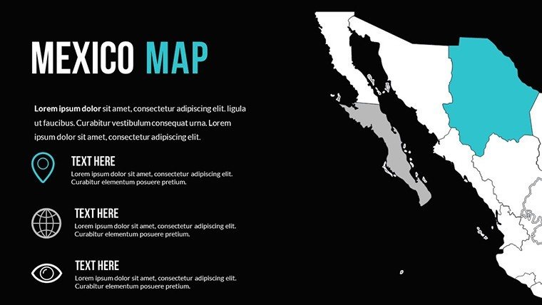
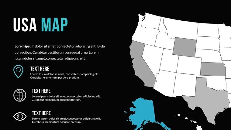
This template centers on versatile world map foundations that adapt to your specific storytelling needs.
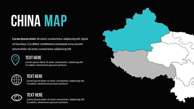
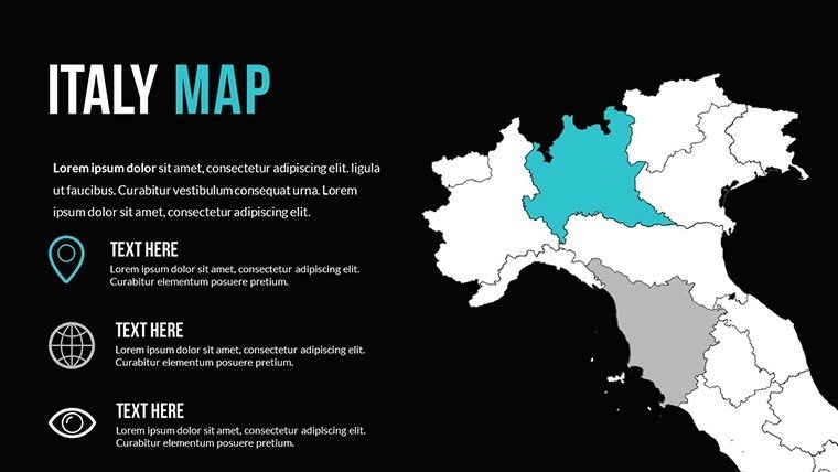
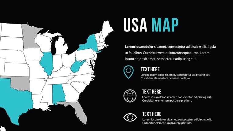
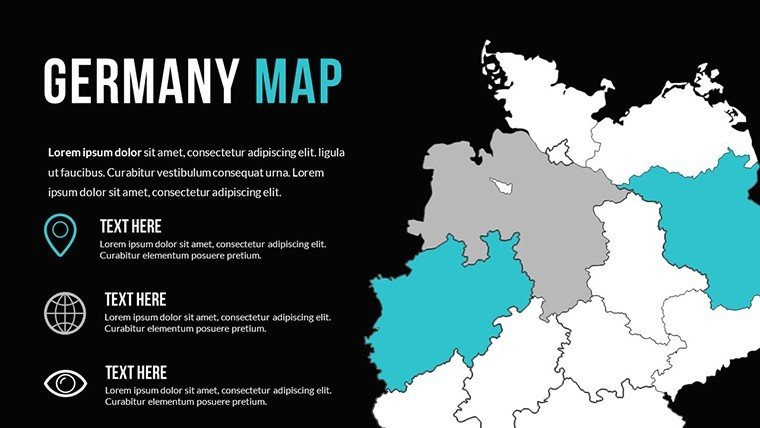
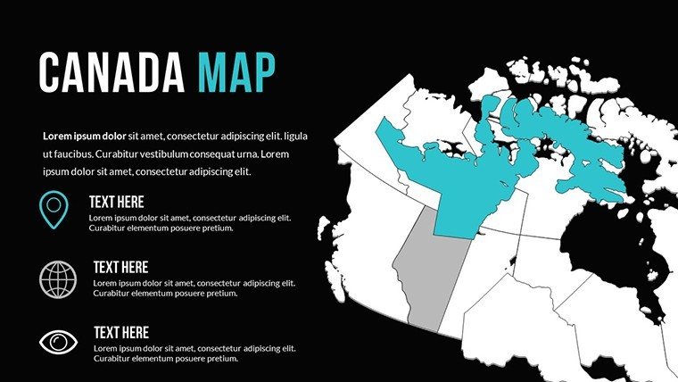
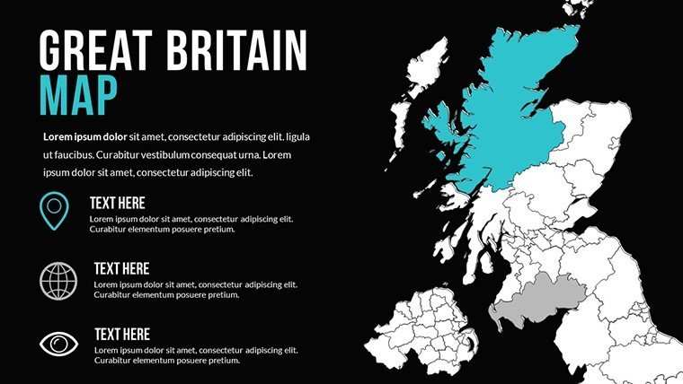
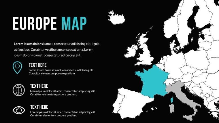
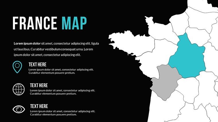
- Global overview slides with individual country outlines ready for selective highlighting or grouping into regional clusters.
- Layered data visualization options including heat map gradients for metrics like sales density or risk levels, plus proportional bubble overlays for quantitative comparisons.
- Dynamic path tools featuring animated route lines that trace trade corridors, supply movements, or customer journeys with subtle pulse effects.
- Modular continental focus layouts allowing you to isolate Europe, Asia, or the Americas by simply hiding unrelated layers.
- Curated palette collections optimized for accessibility, ensuring color distinctions remain clear for all viewers during hybrid presentations.
Every element is vector-scaled, so you can zoom into specific territories for detailed discussions or maintain broad perspectives for executive summaries without quality loss.
Strategic Applications in Executive and Operational Reviews
I've deployed similar map structures in quarterly business reviews where leadership needs instant grasp of geographic performance patterns.
For operations directors overseeing distributed teams, these slides excel at plotting facility locations alongside performance indicators. In investor updates, founders use the animated expansions to demonstrate market entry timelines that build confidence in growth projections. Government affairs teams map regulatory landscapes across jurisdictions, while non-profit leaders visualize impact distribution for donor reports.
The interactivity proves invaluable during Q&A sessions, allowing real-time focus shifts to address specific stakeholder concerns about regional priorities.
Streamlining Your Established Presentation Process
This template integrates seamlessly into workflows I've refined across hundreds of client decks.
Open in PowerPoint 2016 or newer (Windows or Mac), and you'll find all elements natively editable - no external plugins required. Direct Excel data linking automates heat map generation, cutting preparation time significantly. Animations sync naturally with speaker notes for polished delivery timing.
Export options preserve full fidelity for PDF distribution or screen sharing in Teams and Zoom. The lightweight file size ensures quick loading even on slower connections during international calls.
Proven Scenarios from Client Deliverables
A tech scale-up founder recently used these layouts to secure Series B funding by animating user acquisition growth across key markets, making abstract numbers feel tangible to venture partners.
In corporate training sessions, facilitators highlight knowledge transfer hubs worldwide. Supply chain analysts overlay disruption risks during crisis simulations. Academic researchers present fieldwork distributions at conferences, while policy advisors brief officials on international alliance networks.
Each case demonstrates how geographic visualization elevates data discussions beyond spreadsheets.
Clear Advantages Over Standard Approaches
AspectThis World Maps TemplateDefault PowerPoint ToolsBuilding from ScratchEditabilityFull vector control with layered organizationLimited shape manipulationHours of manual alignmentData IntegrationOne-click Excel imports for auto-updatesManual entry onlyCustom scripting requiredAnimation QualityProfessional narrative-synced effectsBasic entrancesInconsistent timingAccessibilityPre-tested color schemesDefault contrasts often failOverlooked entirelyPreparation Time15-30 minutes for customizationRepeated formattingMultiple daysReady to elevate your next global presentation? Download this PowerPoint world maps template today and deliver insights with geographic precision.
Industry-Specific Geographic Storytelling
Finance teams map investment portfolios and market exposures. Technology companies illustrate product adoption curves across territories. Healthcare organizations track clinical trial sites or disease prevalence patterns.
Educational institutions outline international program reach, while marketing departments visualize campaign performance by region. Consulting practices demonstrate client distributions, and manufacturing leaders plot supplier networks alongside logistics routes.
The flexibility ensures relevance regardless of sector focus.
Frequently Asked Questions
Can I import my own dataset to automatically populate these world maps?
Yes - link directly to Excel spreadsheets for instant heat map or bubble chart generation. Update the source file, and your slides refresh automatically, saving hours during last-minute revisions common in fast-paced corporate environments.
How do the animations perform during screen sharing in virtual meetings?
The built-in effects are optimized for smooth playback in PowerPoint's presentation mode across platforms like Zoom and Teams. I've used them reliably in international calls with participants on varying connection speeds.
Is it possible to focus on specific continents without distracting from other areas?
Absolutely - each map uses organized layers that let you hide or reveal continents instantly. This modular approach works perfectly when drilling down from global overviews into regional deep dives during executive discussions.
Does this template support color adjustments for brand guidelines?
Every element follows theme colors, so applying your corporate palette takes seconds. The pre-built accessible schemes also provide strong starting points that maintain readability across projectors and digital displays.
What file formats can I export for stakeholders who don't use PowerPoint?
Export to PDF preserves all visual quality and basic animations as static frames. For collaborative editing, share the native .pptx file - recipients with Google Slides can import and maintain most functionality.
Are the country outlines geographically accurate for professional use?
Yes, based on standard cartographic projections suitable for business presentations. While not survey-grade, they meet the precision requirements I've encountered in strategy sessions with global operations teams.
Good for
- Project roadmaps and sprint plans
- Product launch timelines
- Quarterly or annual review decks
- Company history and milestone summaries
Licence
reviews
Used in class presentation last night it worked okay
Maps and charts helped visualize numbers without confusion
Used this for a work report charts were clear and simple
Opened it once and finished my presentation fast
It works but some slides feel a bit crowded
FAQ
Will it work in Google Slides?
Are fonts embedded?
Can I use this for client work?
What's the refund policy?
Do you update the template after purchase?
Similar templates
See all PowerPoint Maps →


All 15 slides