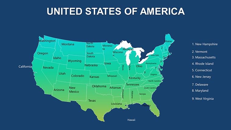
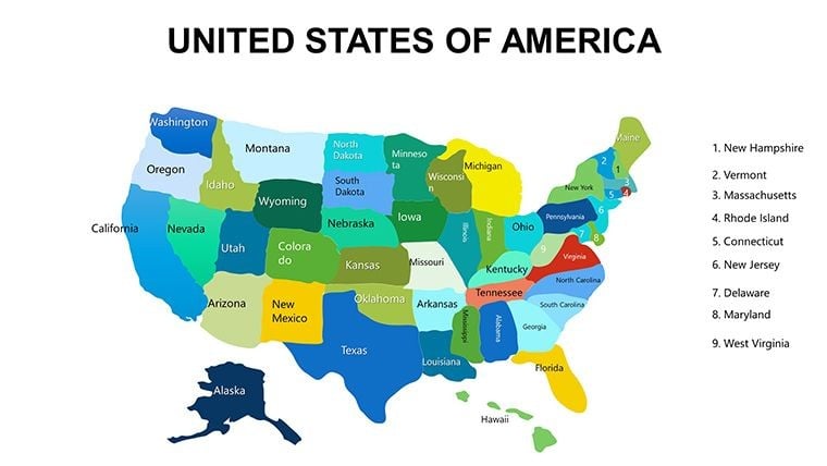
 Click to zoom
US Maps Keynote Template: Craft Compelling State Narratives
| Format | .pptx |
| Slides | 10 unique layouts |
| Aspect ratio | 16:9 |
| Compatibility | PowerPoint |
| Animated | No |
| Language | English |
| License | Commercial |
| File size | — |
| Version | v1.0 |
| Last updated | October 2019 |
What's inside
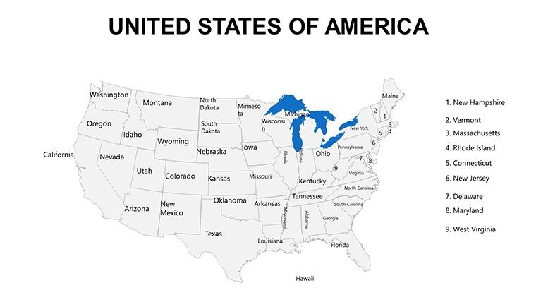
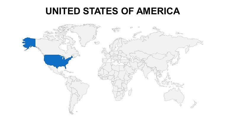
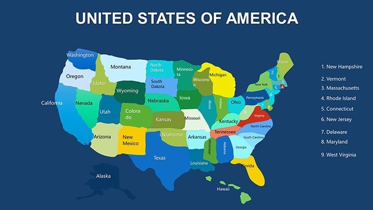
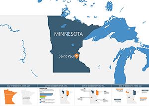
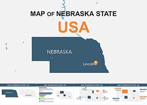
Envision turning a routine update on national trends into a riveting journey across America's diverse landscapes. Our US Maps Keynote Template, with 10 editable slides, is engineered for just that - empowering Keynote users to edit individual states simultaneously for dynamic presentations. Rooted in the rich tapestry of U.S. history, where state names echo origins from Indigenous languages to colonial legacies, this tool brings geography to the forefront. Perfect for historians detailing the evolution of states like Virginia, named after Queen Elizabeth I, or analysts mapping economic shifts in the Heartland. With .key file compatibility, it's a breeze to integrate into your workflow, offering high-quality maps that highlight sovereignty in internal affairs while nodding to federal unity. This isn't mere cartography; it's a canvas for stories that engage, educate, and persuade, all while saving you precious design time.
Explore Editable Excellence in American Geography
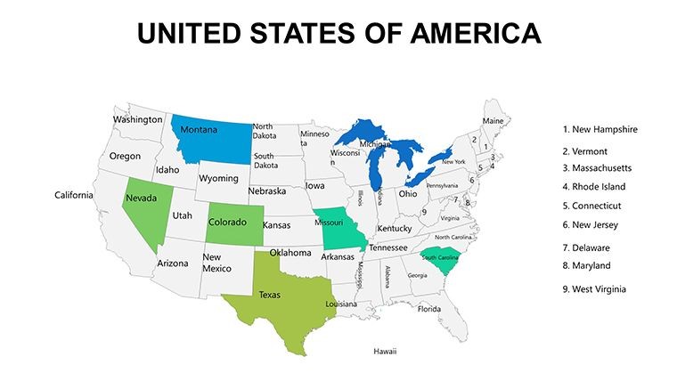
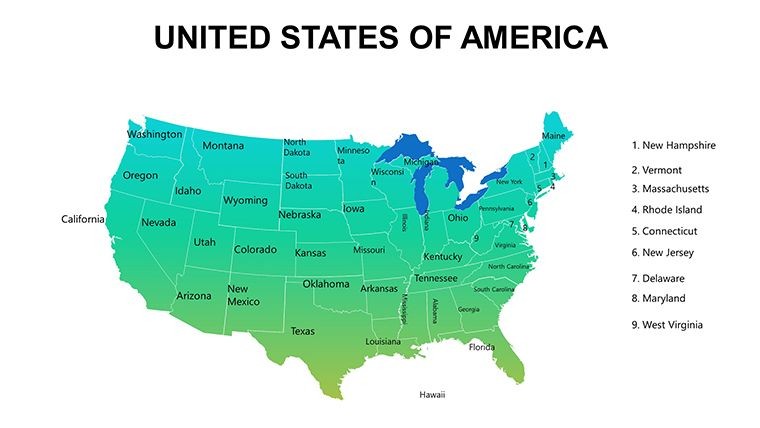
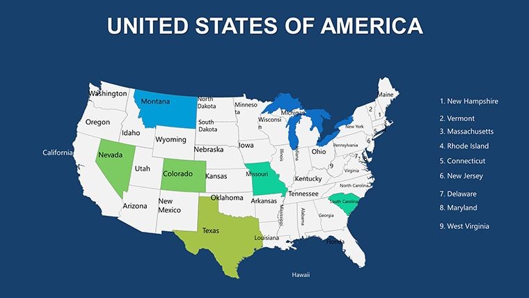
The core strength lies in its editability, allowing you to manipulate states for tailored visuals. For a political science lecture, shade electoral battlegrounds like Florida in red-blue gradients, adding labels for swing factors. This template's design respects the U.S. Constitution's balance of powers, making it apt for legal or governance discussions. High-res previews ensure every detail, from Alaska's vastness to Rhode Island's compactness, renders perfectly. Professionals in travel might use it to plot routes, emphasizing cultural melting pots like Louisiana's French influences versus Utah's pioneer heritage.
Essential Features for Impactful Mapping
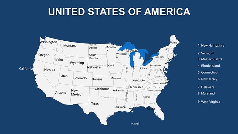
- Individual State Control: Edit each of the 50 states separately, ideal for focused analyses like tech ecosystems in Massachusetts.
- Crisp Resolution: Maintains quality for projections, avoiding distortions in large venues.
- Easy Compatibility: Opens directly in Keynote, with no plugins needed.
- Varied Slide Options: From national overviews to regional zooms, like the Southwest for energy sector pitches.
- Annotation Tools: Add text or icons effortlessly, enhancing narratives on state-specific traditions.
Aligned with cartographic standards from the U.S. Geological Survey, these features ensure accuracy and professionalism.
Practical Scenarios: History Meets Modernity
In educational settings, use it to trace state formations, highlighting how names from six sources reflect America's multicultural fabric - e.g., Oklahoma from Choctaw words. Businesses can map supply chains, coloring Oregon green for timber industries or Michigan blue for automotive hubs. A nonprofit might illustrate social issues, like healthcare access in rural Montana versus urban New Jersey. Drawing from case studies in presentation forums, users have noted how such maps foster better retention, turning data dumps into memorable experiences.
Guided Steps for Optimal Use
- Launch the File: Import into Keynote and browse the 10 slides for your starting point.
- Target States: Select and modify, say, Colorado for tourism data with mountain icons.
- Overlay Insights: Insert graphs showing elevation impacts on agriculture.
- Refine Visuals: Adjust borders for emphasis, like thickening lines around the Bible Belt.
- Test Delivery: Rehearse with Keynote's features to ensure smooth state reveals.
This mirrors advice from design experts like Edward Tufte, focusing on data integrity through clear visuals.
Edges Over Generic US Maps
Standard tools often force compromises on editability, but this template's focused 10 slides provide depth without overwhelm. Unlike blurry free alternatives, its resolution supports professional outputs, crucial for reports on federal-state relations. Users in policy think tanks appreciate the precision for constitutional analyses, where accuracy builds credibility.
Accessibility is key, with options for alt text on elements, promoting inclusive design per ADA guidelines.
Shape Your US Stories Today
This US Maps Keynote Template is your ally in crafting presentations that honor America's complexity while driving your points home. From historical retrospectives to forward-looking strategies, it adapts seamlessly. Dive in and redefine how you present the United States.
Frequently Asked Questions
How do I edit specific states?Select the state layer in Keynote and apply changes - simple and intuitive.Does it cover all 50 states?Yes, with editable options for each, reflecting their unique histories.Compatible with iPad Keynote?Absolutely, for on-the-go editing.Can I add custom icons?Yes, integrate seamlessly for enhanced storytelling.Suitable for historical presentations?Perfect, with flexibility for name origins and evolutions.Good for
- Project roadmaps and sprint plans
- Product launch timelines
- Quarterly or annual review decks
- Company history and milestone summaries
Licence
reviews
This helped me finish a presentation at like 1am before work.
Maps were already divided into sections so adding data was fast.
Some fonts felt outdated but the charts looked fine.
I don’t really care about design much, I just needed readable slides.
Pretty useful if you need location based slides quickly.
FAQ
Will it work in Google Slides?
Are fonts embedded?
Can I use this for client work?
What's the refund policy?
Do you update the template after purchase?
Similar templates
See all Keynote Maps →
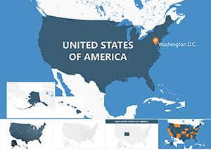
All 10 slides