 Click to zoom
Saskatchewan Canada Keynote Maps: Versatile Tools for Prairie Presentations
| Format | .pptx |
| Slides | 12 unique layouts |
| Aspect ratio | 16:9 |
| Compatibility | PowerPoint |
| Animated | No |
| Language | English |
| License | Commercial |
| File size | — |
| Version | v1.0 |
| Last updated | May 2017 |
What's inside
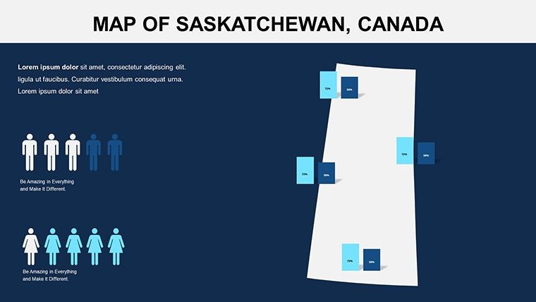
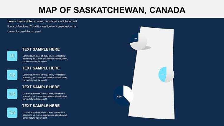
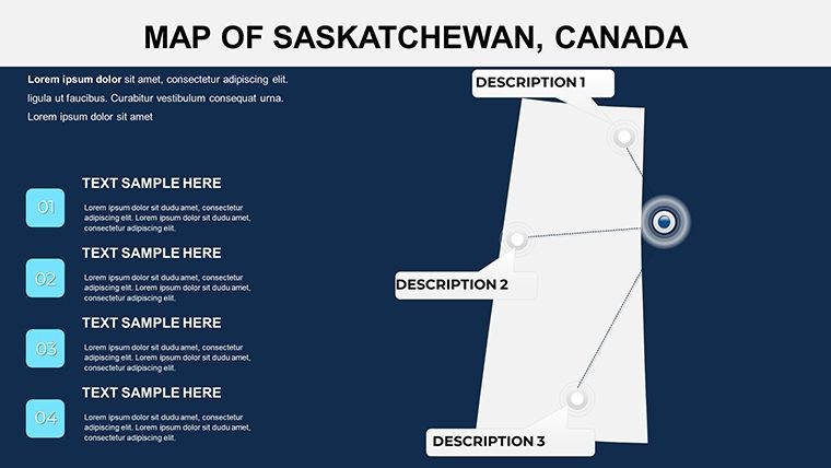
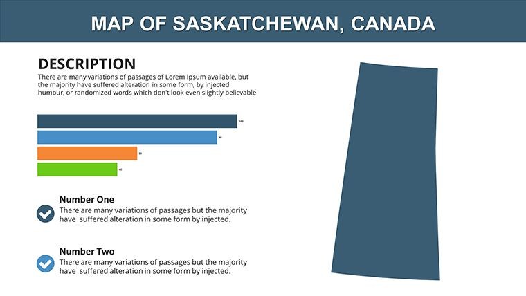
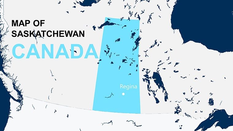
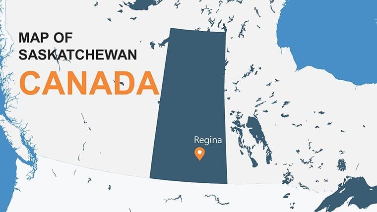
Envision your audience leaning in as you unveil the vast expanses of Saskatchewan through crisp, interactive maps. This Keynote template, featuring 12 editable slides, is crafted for those who need to convey the province's agricultural heartland, resource-rich terrains, or cultural mosaics with authority and style. From agribusiness leaders pitching crop yield forecasts to geologists mapping potash deposits, it serves as a foundation for presentations that inform and inspire.
Known as the "Land of Living Skies," Saskatchewan's template emphasizes wide-open layouts, perfect for overlaying data on wheat fields or urban centers like Saskatoon. Benefits extend to efficiency, with pre-included vector icons for quick enhancements, echoing successful uses in industry reports by organizations like the Saskatchewan Mining Association. It upholds by facilitating accurate, sourced visuals that build credibility in resource-heavy discussions.
Core Features Driving Customization and Clarity
The template's 12 slides offer a blend of simplicity and sophistication, with full editability at every level. Change colors to mirror the golden prairies or add photos of landmarks like the Qu'Appelle Valley for contextual depth.
- Vector-Based Maps: Scale infinitely for detailed views of regions like the boreal forest or southern farmlands.
- Animation Effects: Animate resource flows, such as uranium mining paths, for dynamic storytelling.
- Icon and PNG Integration: Use included assets for symbols like grain elevators or wildlife, enriching thematic slides.
- Multiple Aspect Ratios: Choose from 16:9 widescreen to 4:3 standard for varied display needs.
Grounded in effective visualization techniques, these features minimize distractions while amplifying key messages, much like in provincial economic development pitches.
Broad Use Cases in Saskatchewan-Focused Scenarios
For agriculture pros, customize slides to chart soil types or irrigation systems, aiding in sustainable farming seminars - similar to those by the Agricultural Producers Association of Saskatchewan. Energy sector users might overlay pipeline routes, visualizing impacts on Indigenous lands with respectful annotations.
Educators can animate Indigenous history maps, from Treaty 6 territories to modern reserves, fostering inclusive learning. In tourism, highlight attractions like Prince Albert National Park with interactive hotspots, boosting engagement in promotional events that have increased visitor stats per Tourism Saskatchewan data.
Policy makers use it for infrastructure planning, mapping highway expansions or rural broadband initiatives, ensuring stakeholders grasp spatial relationships effectively.
Hands-On Customization Steps for Optimal Results
- Launch the Template: Open the .key file in Keynote on your Mac device.
- Pick Your Slide: Select from overviews to zonal focuses, tailoring to your topic.
- Modify Visuals: Edit texts, colors, and insert custom images via drag-and-drop.
- Apply Animations: Use build orders to reveal data layers, like crop rotation cycles.
- Incorporate Extras: Add vector icons for quick visual cues.
- Finalize and Present: Rehearse timings and export as needed.
This streamlined approach empowers quick iterations, ideal for time-sensitive projects.
Edges Over Generic Mapping Solutions
Outpacing basic tools, this template provides province-specific accuracy, avoiding the pitfalls of inaccurate borders. It's more efficient than building from scratch, with built-in icons saving design effort.
Feedback highlights its role in clearer communications, particularly in resource industries where precision drives decisions.
Pro Tips to Amplify Your Deck's Effectiveness
Weave in local flavor with anecdotes, like Saskatchewan's role in global food security. Prioritize accessibility with alt text for icons. Balance data density to prevent overload.
Cite reliable sources, such as Statistics Canada, to underscore reliability.
This template is your ally in crafting resonant prairie narratives.
Seize the opportunity - purchase and pioneer your next presentation.
Frequently Asked Questions
How do I add animations to the maps?Use Keynote's inspector to apply custom effects, enhancing reveals for data points.What devices support this template?Primarily Mac with Keynote, but exportable to other formats for broader use.Can I include external data?Yes, link to spreadsheets for dynamic updates on slides.Is it suitable for educational purposes?Definitely, with editable elements perfect for classroom adaptations.What's included in the download?.key files, vector icons, and PNGs for comprehensive customization.Good for
- Project roadmaps and sprint plans
- Product launch timelines
- Quarterly or annual review decks
- Company history and milestone summaries
Licence
reviews
I just needed editable maps and this pack had enough.
Some layouts looked old fashioned but still usable.
Worked okay in Keynote on my MacBook without breaking.
The infographic parts were probably the most useful thing here.
Not perfect but saved me from building slides from scratch.
FAQ
Will it work in Google Slides?
Are fonts embedded?
Can I use this for client work?
What's the refund policy?
Do you update the template after purchase?
Similar templates
See all Keynote Maps →
All 12 slides