 Click to zoom
Ontario Canada PowerPoint Maps Template: Infuse Canadian Precision into Your Slides
| Format | .pptx |
| Slides | 12 unique layouts |
| Aspect ratio | 16:9 |
| Compatibility | PowerPoint |
| Animated | No |
| Language | English |
| License | Commercial |
| File size | — |
| Version | v1.0 |
| Last updated | May 2024 |
What's inside
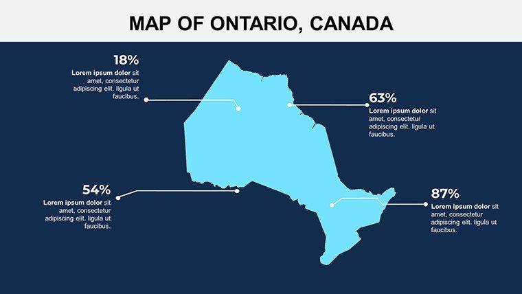
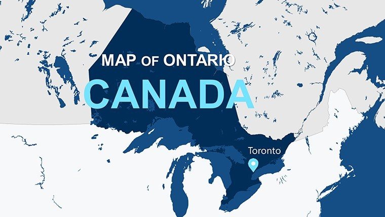
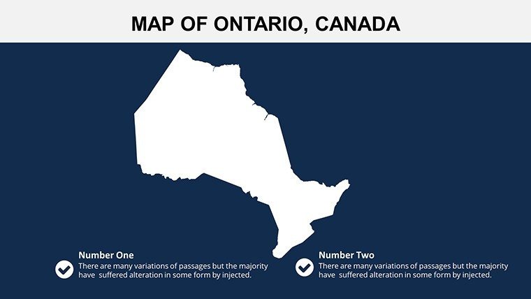
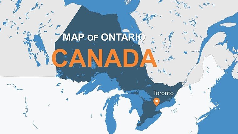
Envision presenting the expansive beauty and economic vitality of Ontario - from the urban pulse of Toronto to the pristine wilderness of Algonquin Park - with slides that captivate and clarify. Our Ontario Canada PowerPoint Maps Template delivers exactly that through 12 editable slides packed with dynamic infographics, empowering you to communicate geographic narratives with sophistication. Tailored for business leaders charting market territories, educators exploring Canadian provinces, or analysts delving into regional data, this template bridges complexity with compelling design.
Fully compatible with PowerPoint and Google Slides, it emphasizes customization to match your vision, whether aligning with corporate blues or academic neutrals. By incorporating elements like bar charts for population densities and flow diagrams for trade routes, it draws on best practices from geographic information systems (GIS) to ensure your visuals are not just informative but inspiring.
Core Features Driving Visual Excellence
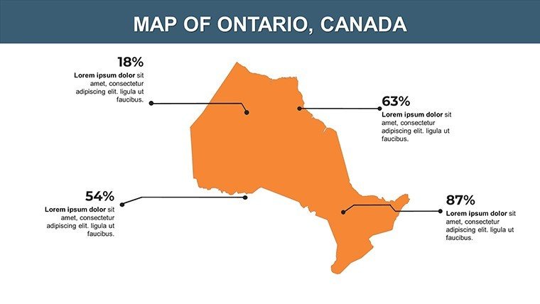
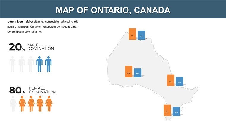
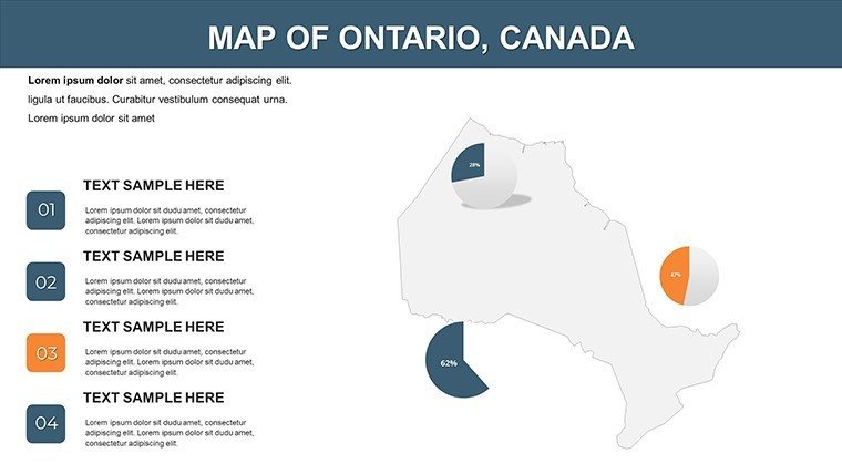
What sets this Ontario Canada PowerPoint Maps Template apart is its blend of functionality and aesthetics, making advanced mapping accessible. Dynamic infographics transform raw data into engaging formats - visualize Toronto's skyline growth or Niagara's tourism flows - while the intuitive layout supports quick adaptations for any audience.
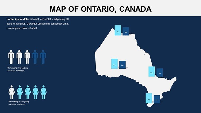
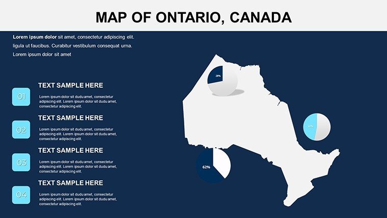
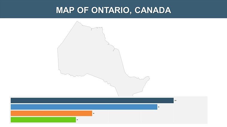
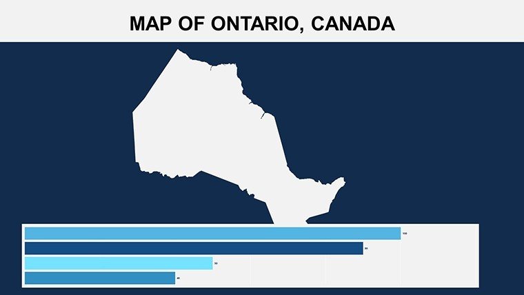
- Dynamic Infographics: From bar charts tracking Ontario's manufacturing output to flow diagrams illustrating supply chains across the Great Lakes, these tools simplify complex concepts.
- Tailored Customization: Effortlessly tweak colors, fonts, and layouts to embody your brand, ensuring consistency in government reports or non-profit campaigns.
- User-Friendly Interface: Seamless editing tools mean no design degree needed; resize maps of Ottawa's parliamentary district or add icons for key industries like tech in Waterloo.
- High-Impact Visuals: Vector-based elements maintain quality at any scale, perfect for projections or handouts.
These attributes make it a staple for professionals, offering more than static maps by enabling interactive storytelling that resonates, much like successful pitches from Canadian firms showcased in Globe and Mail business features.
Effortless Customization Roadmap
- Choose Your Infographic Slide: Select from 12 options, such as provincial overviews or urban detail maps for focused narratives.
- Adapt to Your Style: Modify palettes to reflect Canada's flag reds and whites, or your organization's hues.
- Layer in Data: Integrate stats from Statistics Canada, using placeholders for seamless chart embeds.
- Enhance Engagement: Add transitions to reveal infographic layers, ideal for training sessions.
- Download and Deploy: Instant access post-purchase, ready for immediate use in virtual or in-person settings.
This workflow streamlines preparation, allowing focus on insights - like Ontario's role in renewable energy - over formatting frustrations. It's especially useful for trainers building workshops on regional economics.
Versatile Applications for Diverse Users
Government officials use it to map policy impacts across Ontario's diverse regions, from Sudbury's mining to Kingston's heritage sites, ensuring clear communication in public forums. Business professionals craft sales decks highlighting expansion in the Golden Horseshoe, with infographics that mirror real successes from Bay Street analyses.
Educators and trainers engage students with interactive maps of indigenous territories or migration patterns, fostering deeper learning as per Ontario Ministry of Education guidelines. Researchers present findings on environmental conservation, using flow diagrams to trace water systems from Lake Superior. Non-profits advocate for community initiatives, visualizing aid distribution in northern remote areas.
In sales presentations or academic conferences, it amplifies messages, with studies from the University of Toronto showing visuals boost recall by 50%. The template's broad appeal lies in its ability to adapt, making every use case more persuasive.
Superiority to Basic Templates
Free alternatives often lack infographic depth, leading to bland outputs. This one integrates LSI terms like editable provincial diagrams and scalable Canadian visuals, optimized for professional contexts. It resolves issues like inconsistent scaling, providing reliable, brand-synced results that enhance authority.
Harness the template's innovative edge - download today and redefine your Ontario presentations with dynamic flair.
Transform Your Narrative - Download Instantly!
Why wait to elevate your content? Grab the Ontario Canada PowerPoint Maps Template and start weaving geographic magic into your slides right away.
Frequently Asked Questions
What types of infographics are included?
Bar charts, flow diagrams, and more, all customizable for Ontario-specific data visualization.
Can I customize colors to match my brand?
Yes, easy tools allow full personalization of colors, fonts, and layouts.
Is it suitable for government use?
Definitely, with professional designs that align with official presentation standards.
How many slides come with the template?
12 editable slides, focused on maps and infographics for comprehensive coverage.
Does it support Google Slides?
Yes, fully compatible for collaborative editing and sharing.
Good for
- Project roadmaps and sprint plans
- Product launch timelines
- Quarterly or annual review decks
- Company history and milestone summaries
Licence
reviews
I grabbed this for a transport analysis presentation.
The maps were easy to customize with our colors.
Some slide designs looked a bit old.
Charts resized nicely without breaking.
FAQ
Will it work in Google Slides?
Are fonts embedded?
Can I use this for client work?
What's the refund policy?
Do you update the template after purchase?
Similar templates
See all PowerPoint Maps →
All 12 slides