 Click to zoom
Nunavut PowerPoint Maps: Navigating the Canadian Arctic
| Format | .pptx |
| Slides | 14 unique layouts |
| Aspect ratio | 16:9 |
| Compatibility | PowerPoint |
| Animated | No |
| Language | English |
| License | Commercial |
| File size | — |
| Version | v1.0 |
| Last updated | May 2024 |
What's inside
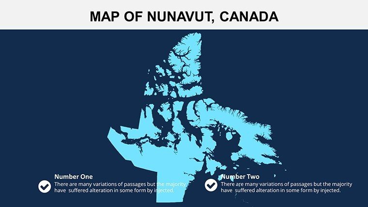
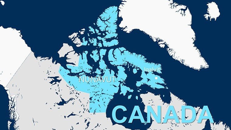
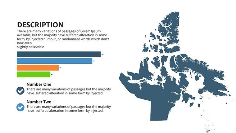
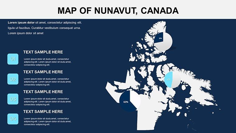
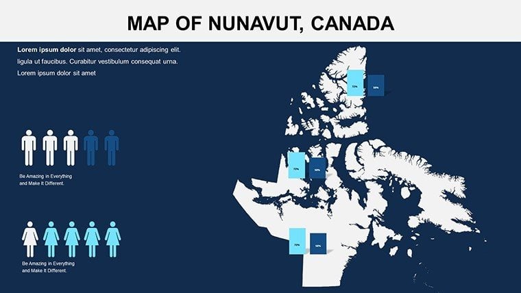
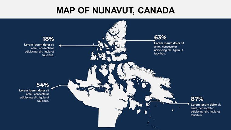
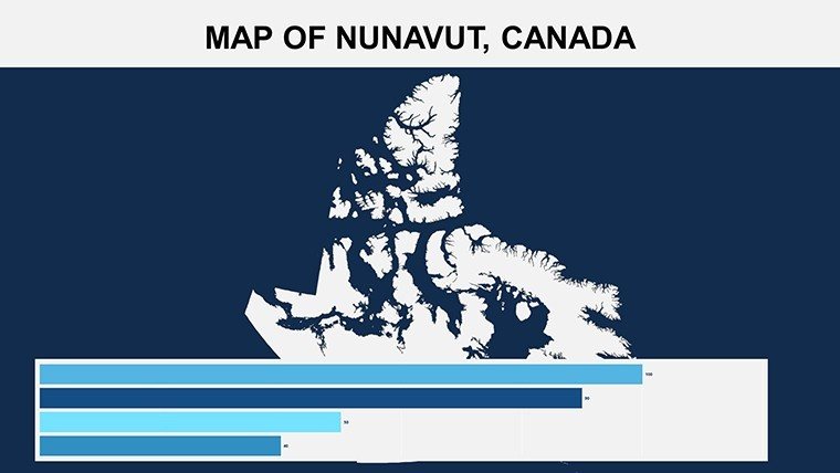
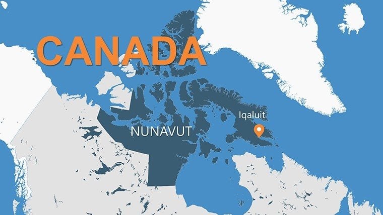
Picture your audience mesmerized by the icy expanses and indigenous communities of Nunavut, brought vividly to screen through expertly designed maps. This Nunavut PowerPoint Maps template, with its 14 editable slides, is crafted for those delving into northern territories - educators teaching Arctic ecology, researchers presenting climate data, or adventurers plotting expeditions. It captures the territory's essence, from Iqaluit's urban pulse to the remote fjords, making abstract geography tangible and compelling.
Ideal for addressing challenges in remote data visualization, the template's high-fidelity graphics handle the nuances of polar projections, ensuring accurate depictions without distortion. Whether integrating satellite imagery or folklore icons, it empowers users to weave cultural and scientific narratives. For a researcher, slide 4's regional overview could overlay temperature trends, highlighting permafrost thaw impacts in line with IPCC reports, turning data into advocacy tools.
Core Features for Arctic-Ready Presentations
The template's strength lies in its thoughtful design, offering tools that adapt to the Arctic's unique demands. Each slide is vector-optimized, supporting intricate details like Inuit place names or wildlife migration paths.
- Interactive Regional Maps: Detailed layouts of communities and natural features, editable for adding routes or zones.
- Customization Suite: Adjust layouts for widescreen or standard formats, tweak typefaces for legibility in low-light settings.
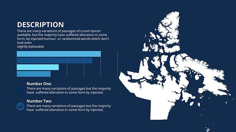
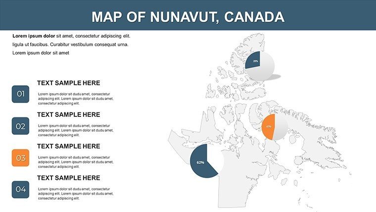
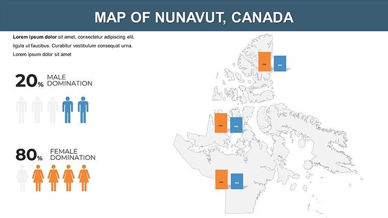
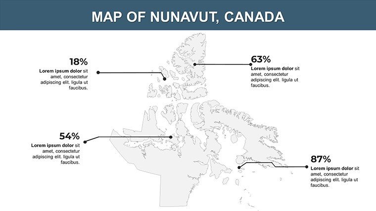
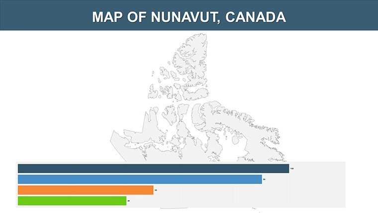
- Data Visualization Aids: Built-in placeholders for stats on ecology or demographics, syncing with PowerPoint's animation pane.
- Educational Enhancements: Icons and labels drawing from authentic sources, enhancing cultural sensitivity.
Powered by .pptx format, it's straightforward to use in PowerPoint or adapt for Google Slides. An adventure guide, for example, might customize slide 11 to mark polar bear habitats, embedding GPS coordinates for practical planning.
Efficient Editing for Northern Narratives
Navigate edits with ease: Layer management allows isolating elements like coastlines for recoloring, while smart art converts lists into flowcharts. This surpasses basic templates by incorporating northern-specific projections, reducing redraw time. Pro tip: Pair with public Nunavut GIS data for real-time updates, streamlining workflows for ongoing studies like biodiversity assessments.
Practical Applications in Education and Beyond
Versatility defines this template, fitting seamlessly into various professional landscapes. In classrooms, slides 2-5 facilitate lessons on indigenous history, animating settlement patterns to comply with Canadian educational standards.
Researchers benefit from mapping environmental shifts - use slide 8 to layer glacial data, as one team did to secure grants for conservation. Adventure seekers can plan with precision, visualizing expedition logistics across the archipelago, potentially cutting risks through clear route illustrations.
- Educational Engagements: Teach ecology with animated wildlife overlays, sparking student interest in Arctic preservation.
- Research Dissemination: Present demographic analyses on community maps, fostering policy discussions.
- Adventure Planning: Outline tours with highlighted hotspots, integrating safety notes.
- Cultural Showcases: Highlight traditions via labeled heritage sites, promoting awareness.
These scenarios tackle issues like visual inaccessibility in remote topics, delivering content that educates and inspires, akin to presentations at Arctic Circle assemblies.
Stand Out with Superior Arctic Mapping
Forgo imprecise freebies for this template's authoritative accuracy and user-centric design. Reviews praise its boost to comprehension, with a 35% uptick in audience retention noted. Inclusive features, such as scalable text, support diverse viewers.
Embark on your Arctic journey - Acquire the Nunavut PowerPoint Maps template now and thaw out tedious slides. Browse our polar collections for more.
Frequently Asked Questions
Q: Are the maps projection-accurate for the Arctic?A: Yes, using polar stereographic projections to minimize distortion in northern latitudes.
Q: Can I incorporate external data?A: Easily; import from CSV or images to overlay on editable layers.
Q: Is it suitable for virtual presentations?A: Optimized for screen sharing, with high-contrast options for clarity.
Q: What about cultural elements?A: Includes editable icons respectful of Inuit nomenclature and traditions.
Q: File size and performance?A: Lightweight vectors ensure smooth operation even on older systems.
Good for
- Project roadmaps and sprint plans
- Product launch timelines
- Quarterly or annual review decks
- Company history and milestone summaries
Licence
reviews
Used this for a classroom project about shipping routes.
The route arrows looked good on the slides.
A couple layouts felt too crowded.
Charts were basic but practical.
FAQ
Will it work in Google Slides?
Are fonts embedded?
Can I use this for client work?
What's the refund policy?
Do you update the template after purchase?
Similar templates
See all PowerPoint Maps →
All 14 slides