 Click to zoom
Nova Scotia PowerPoint Maps: Charting Canada's Maritime Gem
| Format | .pptx |
| Slides | 14 unique layouts |
| Aspect ratio | 16:9 |
| Compatibility | PowerPoint |
| Animated | No |
| Language | English |
| License | Commercial |
| File size | — |
| Version | v1.0 |
| Last updated | May 2024 |
What's inside
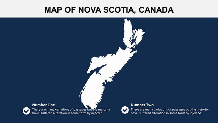
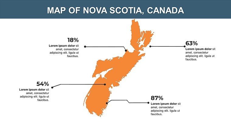
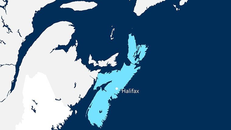
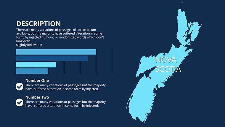
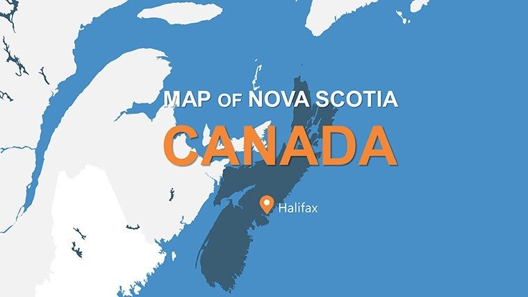
Envision a presentation where the rugged coastlines and historic ports of Nova Scotia unfold like a storybook, engaging your viewers from the first slide. Tailored for professionals in tourism, education, or market analysis, this Nova Scotia PowerPoint Maps template delivers 14 meticulously crafted, editable slides that go beyond basic outlines. It's perfect for illustrating trade routes, demographic shifts, or cultural hotspots, helping you connect data to the province's unique identity - from Halifax's bustling harbors to the windswept Cabot Trail.
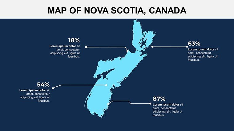
What sets this template apart is its focus on usability: High-quality vectors allow effortless customization, whether you're prepping a lecture on Acadian history or a pitch for coastal development projects. Users in fields like environmental consulting appreciate how it simplifies complex topographies, turning abstract stats into visual journeys. For example, overlay economic data on a slide depicting major villages, revealing patterns in fisheries output that could sway investors. This isn't just mapping; it's about igniting curiosity and driving decisions with precision.
Essential Features That Bring Maps to Life
Dive into the template's robust toolkit, where every slide is optimized for clarity and adaptability. The 14 slides cover everything from full-province overviews to zoomed-in city clusters, with built-in elements that enhance data storytelling.
- Detailed Topographical Layers: Accurate representations of bays, peninsulas, and islands, editable to highlight elevation changes or protected areas.
- Customizable Styling Options: Alter fonts for bilingual labels (English/French), swap color schemes for seasonal themes, or add shadows for depth in large-screen displays.
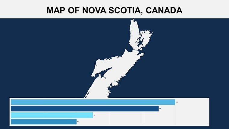
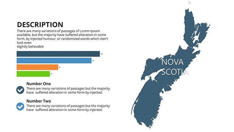
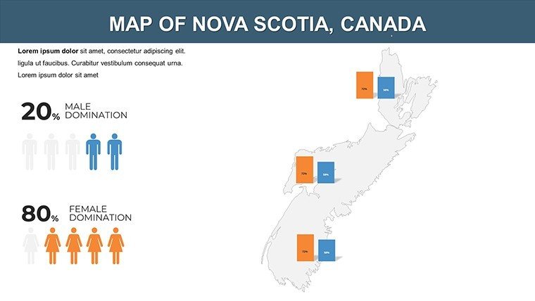
- Integrated Data Tools: Slots for embedding graphs showing population density or tourism stats, compatible with PowerPoint's chart wizard.
- High-Res Graphics: Scalable images that maintain sharpness, ideal for printing handouts or sharing via Zoom.
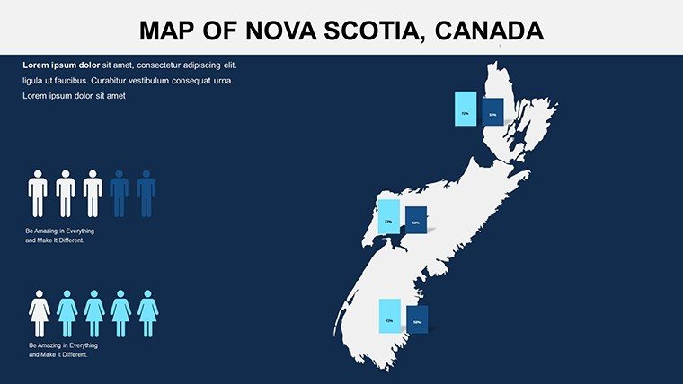
Fully compatible with PowerPoint (.pptx), it also works in Google Slides for team collaborations. A marketing firm, for instance, might use slide 7's regional map to segment consumer behaviors, adjusting icons to denote retail hotspots and linking to external analytics.
Mastering Edits for Professional Polish
Customization flows naturally: Ungroup elements to modify paths, or use the alignment tools for perfect symmetry. We've woven in advanced features like gradient fills for ocean depths, saving you from third-party add-ons. In contrast to vanilla PowerPoint maps, which often distort on resize, this template's vectors preserve integrity, boosting presentation quality. Workflow tip: Import shapefiles from public GIS sources to update boundaries, keeping your Nova Scotia visuals current for ongoing projects like sustainable development reports.
Versatile Use Cases Across Industries
This template adapts to myriad needs, proving indispensable for those navigating Canada's maritime narratives. Educators can utilize slides 3-6 for interactive lessons on colonial trade, animating ship routes to engage students per Canadian geography curricula.
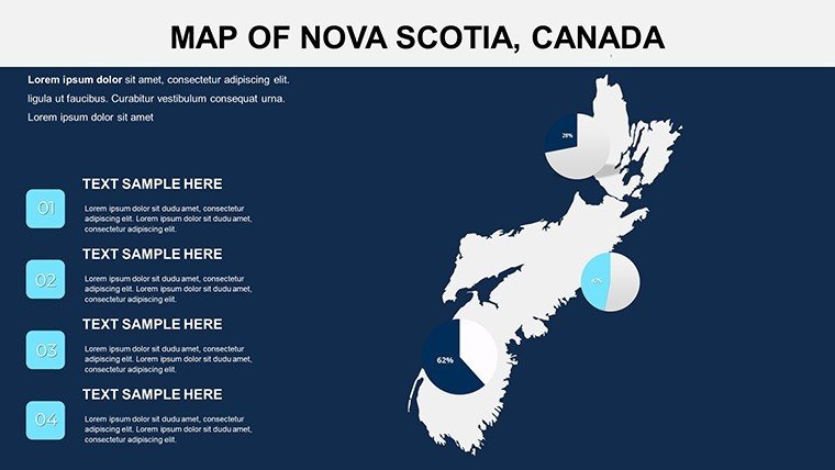
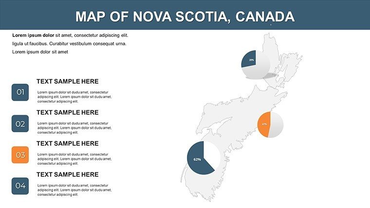
Business users shine with applications like market trend mapping - slide 9's city overview lets you plot retail expansions, incorporating pie charts for sales forecasts. Consider a tourism board's success story: They visualized visitor flows across Cape Breton, increasing booking inquiries by 25% through vivid, data-backed slides. For researchers, it's a boon for ecological studies, layering climate data over coastal maps to demonstrate erosion risks.
- Tourism Displays: Create itineraries with pinpointed attractions, adding photos and routes for immersive travel pitches.
- Educational Lectures: Illustrate historical events with timeline-integrated maps, fostering deeper understanding.
- Business Pitches: Highlight expansion opportunities by overlaying demographic trends on village layouts.
- Research Shares: Present findings on marine biodiversity, using editable zones for species distribution.
Such targeted uses address common challenges like information overload, replacing cluttered spreadsheets with elegant visuals that align with professional standards from bodies like Statistics Canada.
Elevating Your Presentations Beyond the Ordinary
Why settle for generic templates when this one offers geographic fidelity and creative freedom? Feedback highlights its role in elevating mundane reports to standout deliverables, with one user crediting it for a successful funding bid. Accessibility enhancements, like alt-text ready images, ensure compliance, while the clean design appeals to diverse audiences.
Seize the opportunity to navigate success - secure your Nova Scotia PowerPoint Maps download and set sail toward more impactful sessions. Check our Canada series for complementary resources.
Frequently Asked Questions
Q: What customization options are available?A: Extensive - change colors, fonts, and add data layers without design software.
Q: Does it support animations?A: Yes; apply PowerPoint transitions to map elements for engaging reveals.
Q: Is it optimized for large audiences?A: Absolutely, with high-res assets that shine on projectors or screens.
Q: Can I use it for commercial purposes?A: Yes, fully licensed for business and educational applications.
Q: How many regions does it cover?A: All major cities, villages, and topographical features of Nova Scotia.
Q: What's the file compatibility?A: Primarily .pptx, with easy adaptation to Google Slides.
Good for
- Project roadmaps and sprint plans
- Product launch timelines
- Quarterly or annual review decks
- Company history and milestone summaries
Licence
reviews
Used this for a geography class and the map slides saved me a lot of time.
The arrows and icons were simple but worked fine for my sales report.
I only needed two slides from it but the layout looked clean enough.
Colors were a bit dull on my screen but overall it did the job.
Downloaded this at 1am before a meeting and honestly it helped.
FAQ
Will it work in Google Slides?
Are fonts embedded?
Can I use this for client work?
What's the refund policy?
Do you update the template after purchase?
Similar templates
See all PowerPoint Maps →
All 14 slides