 Click to zoom
Nicaragua PowerPoint Maps Template: Customizable & Professional PPT
| Format | .pptx |
| Slides | 36 unique layouts |
| Aspect ratio | 16:9 |
| Compatibility | PowerPoint |
| Animated | No |
| Language | English |
| License | Commercial |
| File size | — |
| Version | v1.0 |
| Last updated | August 2025 |
What's inside
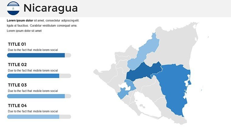
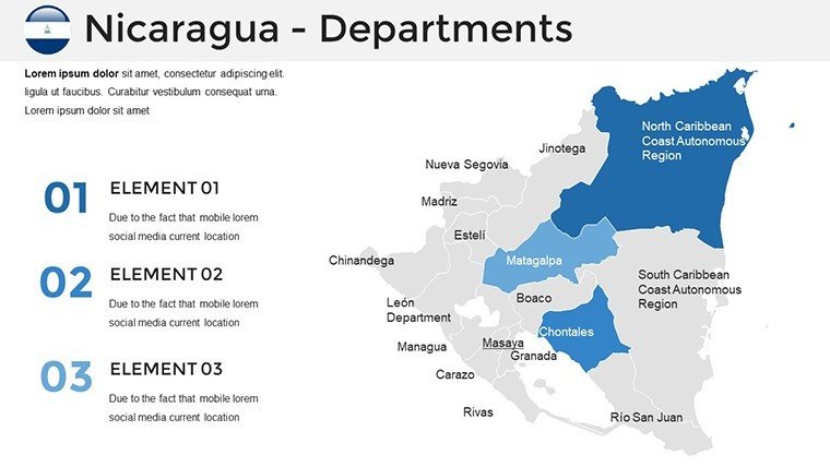
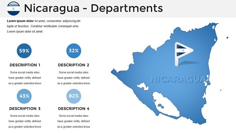
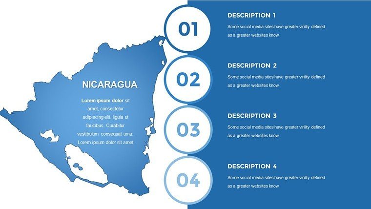
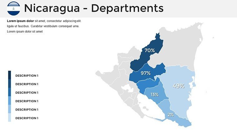
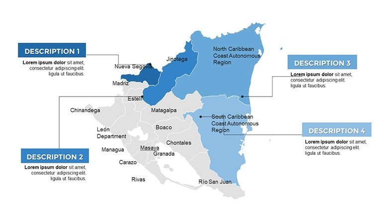
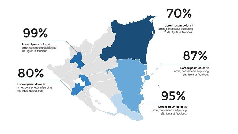
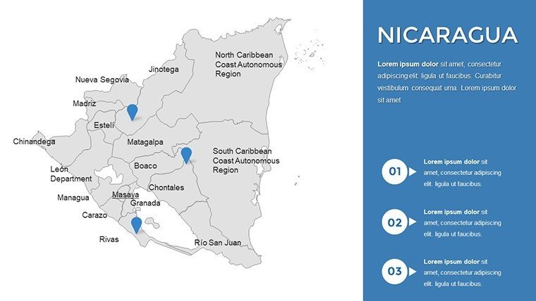
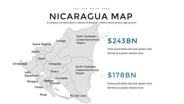
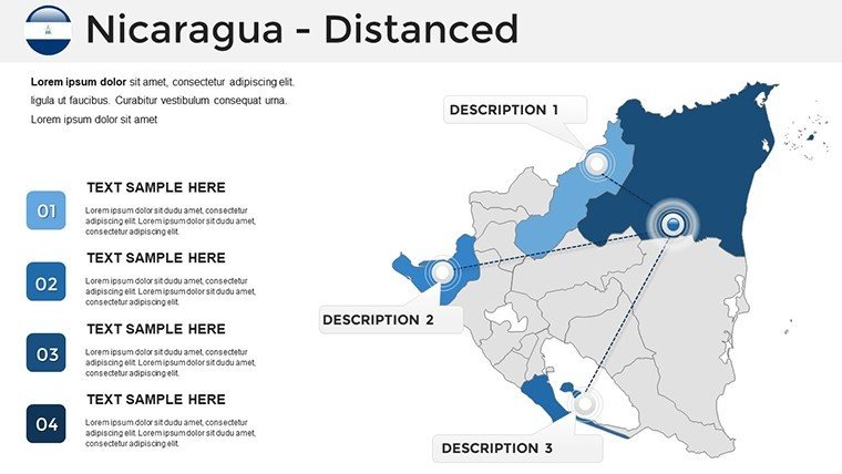
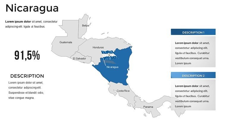
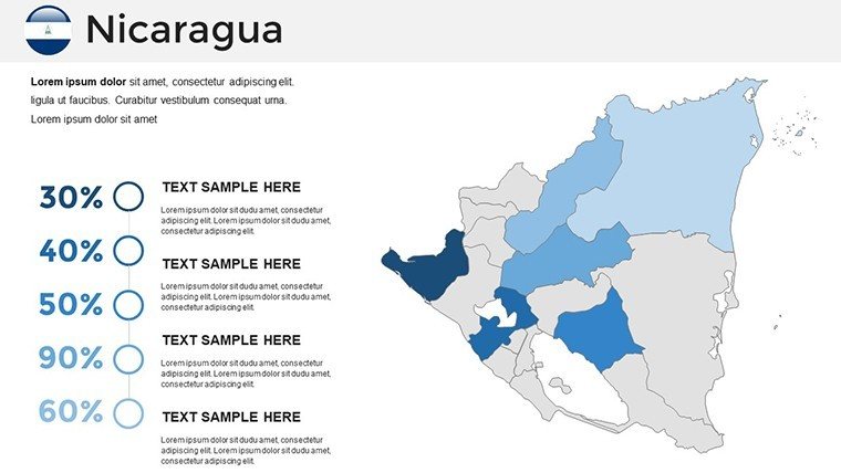
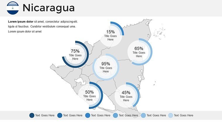
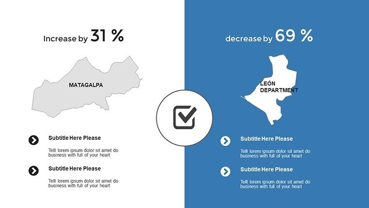
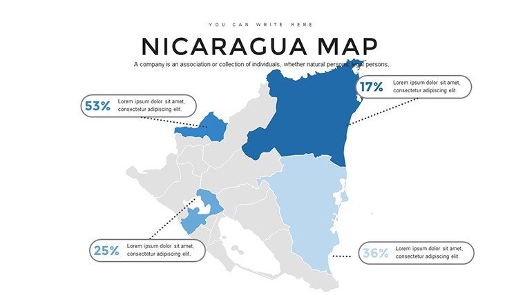
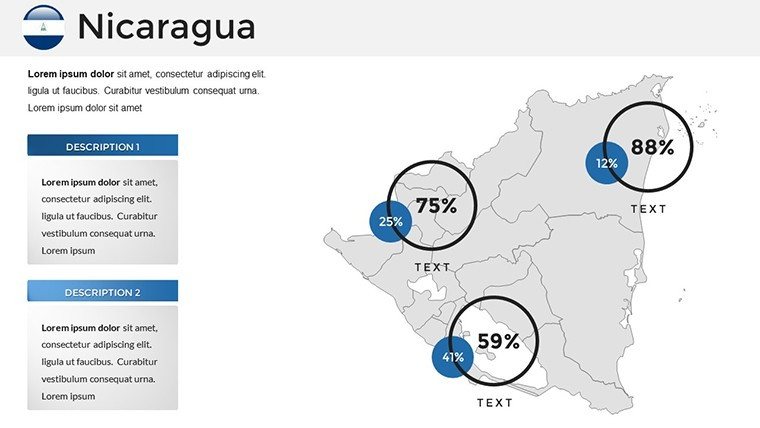
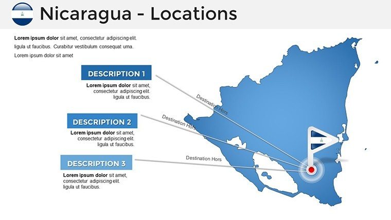
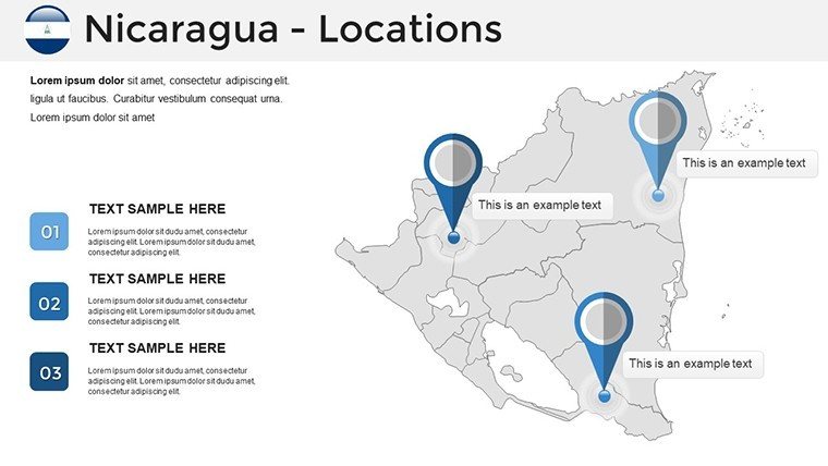
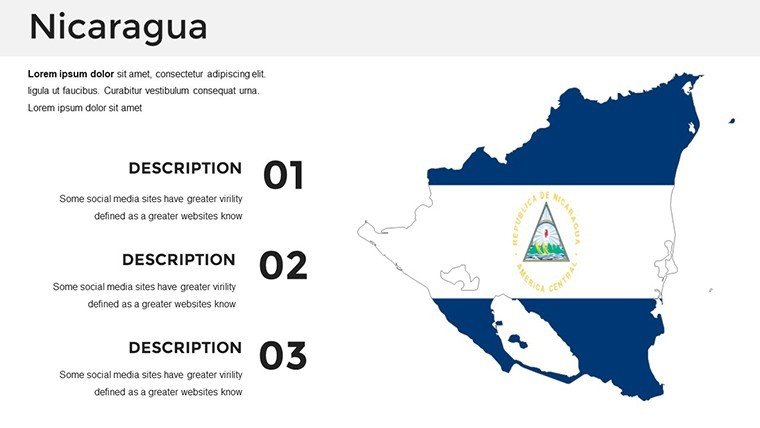
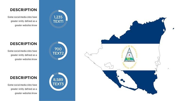
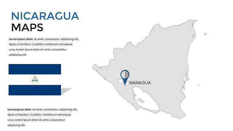
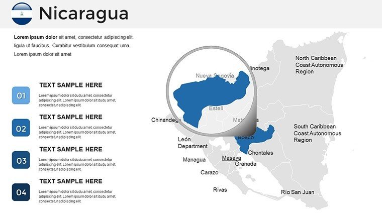
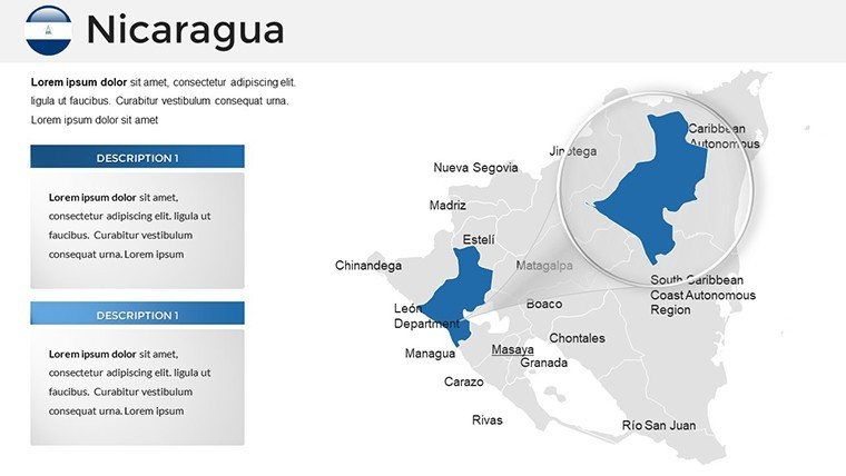
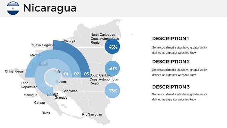
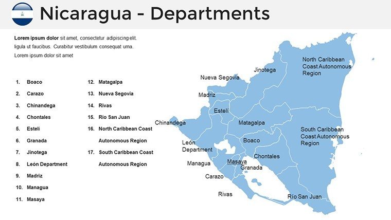
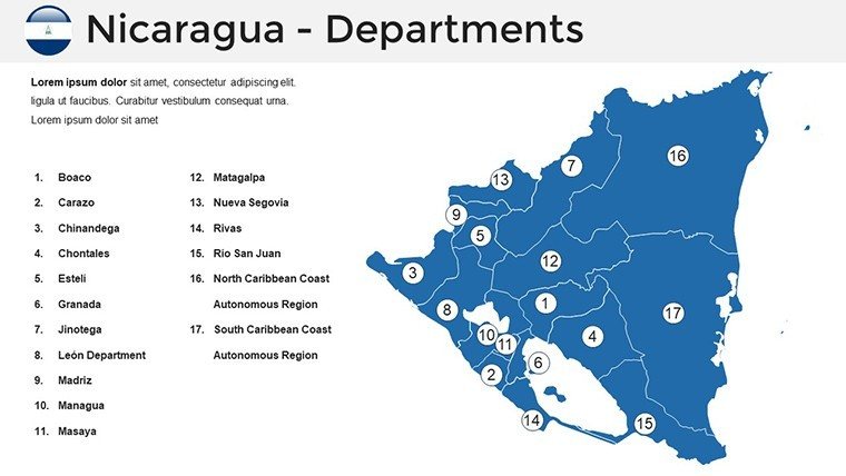
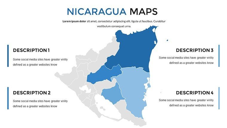
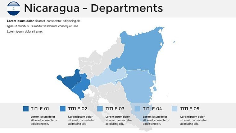
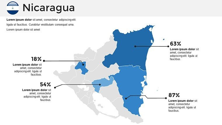
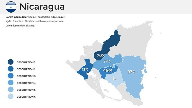
Step into a presentation where Nicaragua's volcanic landscapes and shimmering lakes come alive, guiding your audience through data-rich journeys. Our Nicaragua PowerPoint Maps Template, with its 36 editable slides, is meticulously designed to spotlight regions, cities, and landmarks with professional flair. Ideal for researchers charting environmental trends or public speakers unveiling investment prospects, this template combines accuracy with animated dynamism. Bypass outdated static maps; opt for versatile layouts, infographics, and a beginner-friendly setup that integrates seamlessly into PowerPoint, turning complex information into memorable visuals that drive engagement and understanding.
The Distinct Edge of Nicaragua-Focused Mapping Tools
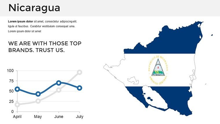
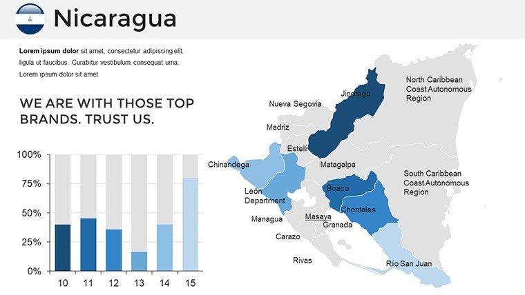
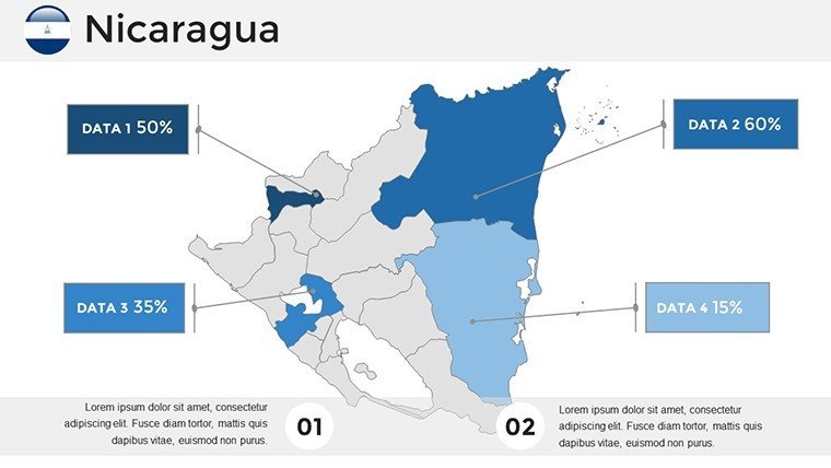
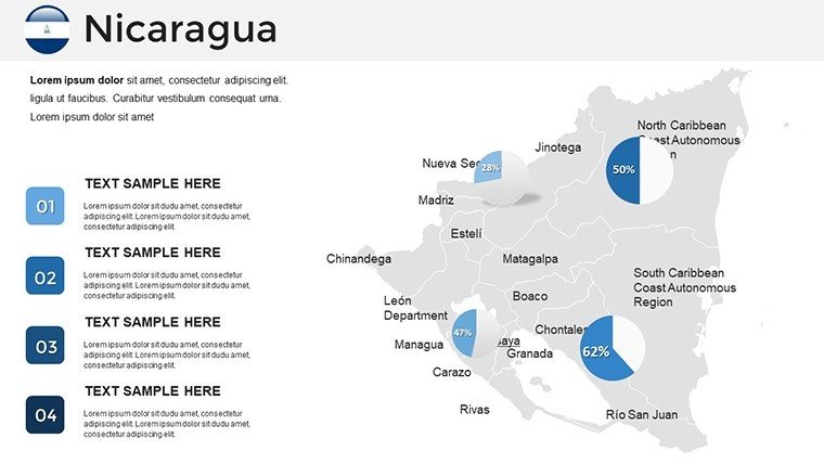
This template excels by capturing Nicaragua's essence - from the bustling streets of Managua to the serene islands of Lake Nicaragua - through detailed, customizable maps. Developed by design experts, it ensures high-quality outputs that resonate in diverse settings. Public speakers, for example, can animate transitions to reveal historical timelines overlaid on colonial city maps, making speeches unforgettable. The professional polish, including bar graphs and pie charts, positions your content as authoritative, enhancing trustworthiness in fields like environmental advocacy.
Key Features That Fuel Creative Expression
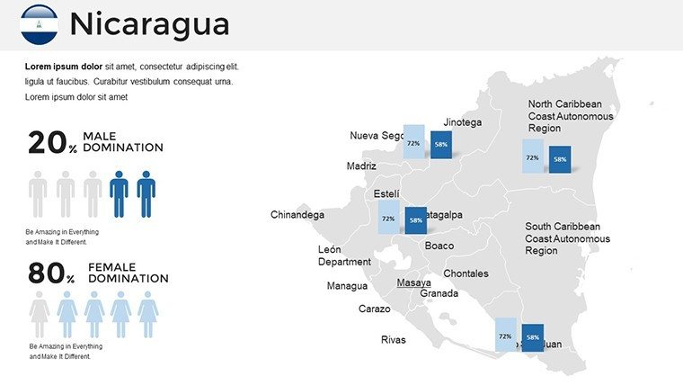
At its heart, the template offers robust features for innovation. The 36 slides include animated elements that bring data to life, such as fading in demographic stats on a map of Granada. Customize everything: layouts for thematic focus, fonts for emphasis, and colors inspired by Nicaragua's tropical hues. Versatile for various content, it supports infographics on topics like coffee production in Matagalpa, with easy data integration. Aligning with academic standards, it's perfect for presentations echoing research from institutions like the Nicaraguan Academy of Sciences.
- Animated Transitions: Dynamic effects to highlight key insights.
- Detailed Landmarks: Maps featuring cities, volcanoes, and natural sites.
- Data Tools: Built-in charts for simplifying statistics.
- User-Friendly: Intuitive editing for all skill levels.
Versatile Applications in Professional and Academic Spheres
Business pros deploy these slides for strategic overviews, mapping tourism potentials in San Juan del Sur with embedded growth projections. Educators animate ecological cycles around Ometepe Island, captivating students with visual storytelling. A notable case from an international conference saw researchers use similar tools to map biodiversity threats, influencing policy discussions. For cultural studies, overlay infographics on historical sites like León, enriching narratives with depth and interactivity.
Step-by-Step Mastery for Engaging Deliveries
- Select a foundation slide: Pick a regional map and adjust for focus areas like the Caribbean coast.
- Weave in data: Incorporate graphs, animating reveals for impact.
- Enhance visuals: Add landmarks with custom icons for relevance.
- Refine animations: Time transitions to sync with your pacing.
- Review and deploy: Test for flow, then present with confidence.
Outshining basic alternatives, this template's animated versatility draws from Nicaragua's dramatic geography - volcanic reds and lake blues guiding your palette. It's crafting experiences that linger, from investment pitches to scholarly discourses.
Expert Strategies to Optimize Your Presentations
Integrate with apps like Canva for extra graphics, keeping everything fresh. Pros advise layering animations sparingly to avoid overload, focusing on key reveals like economic shifts in Estelí. Bolster credibility with embedded sources from reputable bodies like the World Bank. In keynote scenarios, speakers have amplified resonance by syncing slides with narratives on revolutionary history, fostering audience connection. The template adapts to virtual formats, supporting video embeds for tours of Masaya Volcano.
Explore advanced tweaks: Vary animation speeds for emphasis, as in highlighting conservation zones. For NGOs, mapping community projects has accelerated funding, showcasing real impacts visually.
Custom Benefits for Your Unique Needs
Researchers value the precision for demographic studies, animating population flows in border regions. Speakers craft resonant keynotes on sustainable development, using pie charts for resource allocation. The streamlined design liberates time for content depth, empowering users to shine in their domains.
In essence, this Nicaragua PowerPoint Maps Template is more than slides - it's a bridge to clearer, more compelling communication. From volcanic insights to economic vistas, harness its power to inspire and inform. Embark on your visual adventure now.
Frequently Asked Questions (FAQ)
What animation features are included? Dynamic transitions and reveals to engage viewers with motion. Is it suitable for beginners? Yes, with an intuitive interface for easy editing. Can I customize landmarks? Fully, add or modify as needed for your story. Compatible with Mac PowerPoint? Yes, works across platforms. Ideal for environmental presentations? Perfect, with tools for data on ecosystems and conservation.Good for
- Project roadmaps and sprint plans
- Product launch timelines
- Quarterly or annual review decks
- Company history and milestone summaries
Licence
reviews
Had to make a regional business overview and this template covered most of it.
The layout was simple enough that my coworkers could edit it too.
I wish there were more icon choices inside the slides.
The map graphics looked sharp during projection.
Pretty normal template but useful under time pressure.
FAQ
Will it work in Google Slides?
Are fonts embedded?
Can I use this for client work?
What's the refund policy?
Do you update the template after purchase?
Similar templates
See all PowerPoint Maps →
All 36 slides