 Click to zoom
Editable Cuba PowerPoint Maps Template: Unlock Professional Visuals
| Format | .pptx |
| Slides | 36 unique layouts |
| Aspect ratio | 16:9 |
| Compatibility | PowerPoint |
| Animated | No |
| Language | English |
| License | Commercial |
| File size | — |
| Version | v1.0 |
| Last updated | August 2025 |
What's inside
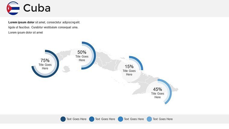
In the world of professional presentations, nothing captures attention quite like a well-crafted map that tells a story. Our Editable Cuba PowerPoint Maps Template is designed specifically for those who need to convey complex geographical, economic, or cultural information about Cuba with clarity and flair. Whether you're a business analyst mapping out market opportunities in Havana, an educator illustrating the island's rich history from the Sierra Maestra to the urban centers, or a researcher highlighting environmental trends in the Zapata Swamp, this template offers 36 fully editable slides that transform raw data into compelling narratives.
Imagine presenting to stakeholders on Cuba's burgeoning tourism sector, using vibrant, customizable maps to spotlight key destinations like Varadero Beach or the colonial architecture of Trinidad. With this template, you can easily adjust colors to match your brand, add annotations for precise data points, and integrate icons that represent economic indicators such as sugar production or remittance flows. Drawing from cartographic expertise aligned with standards from organizations like the International Cartographic Association, these maps ensure accuracy while allowing creative freedom. No more struggling with basic PowerPoint tools - these slides are pre-built for efficiency, saving you hours and elevating your delivery to professional levels.
Beyond aesthetics, the real value lies in its applications. For instance, in a corporate setting, use these maps to visualize supply chain logistics from Cuban ports to international markets, incorporating real-world examples like the impact of U.S.-Cuba trade relations post-2014 thaw. Educators can leverage the detailed province outlines to teach about Cuba's 15 provinces and the Isla de la Juventud, making lessons interactive and memorable. Researchers might employ topographic layers to discuss climate change effects on Cuba's coral reefs, backed by data from sources like the World Bank or UNESCO reports on biodiversity.
Key Features That Set This Template Apart
Our Cuba PowerPoint Maps Template isn't just a collection of images; it's a toolkit built for versatility and precision. Each of the 36 slides is meticulously designed with high-resolution graphics that maintain clarity even on large screens or projectors.
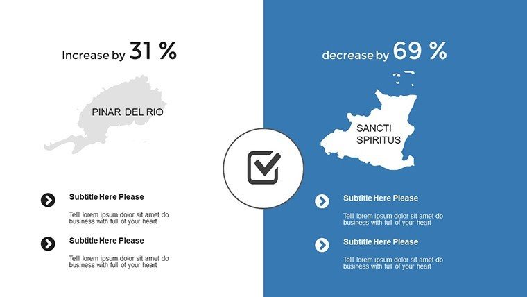
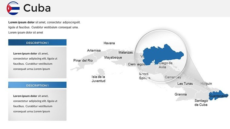
- Comprehensive Geographic Coverage: From detailed outlines of provinces like Pinar del Río to zoomed-in views of major cities such as Santiago de Cuba, every slide provides layered information for in-depth analysis.
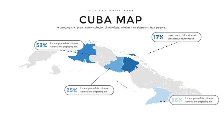
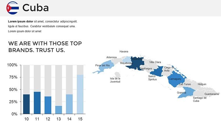
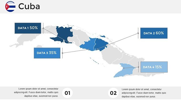
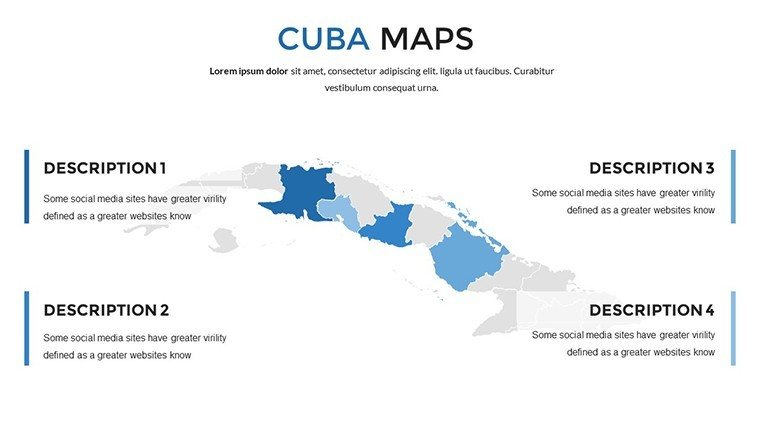
- Full Customization Options: Change fill colors to represent data gradients, like population density or GDP per capita, using simple drag-and-drop tools in PowerPoint.
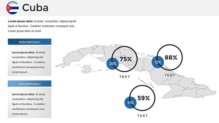
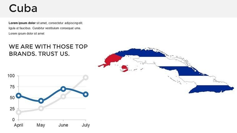
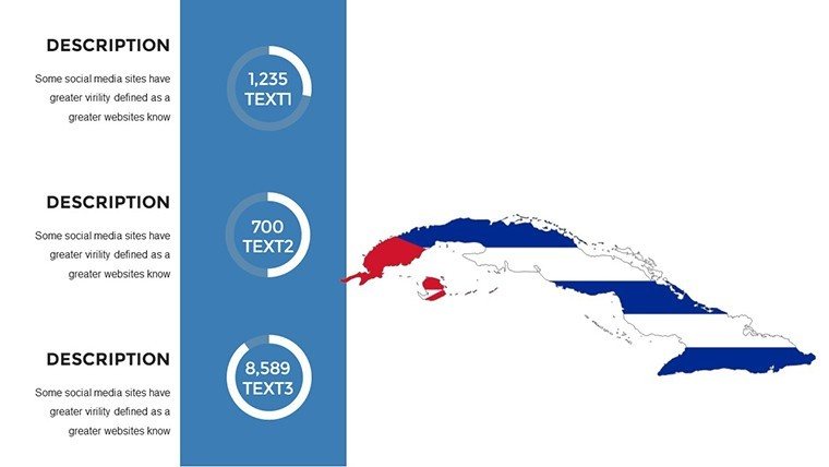
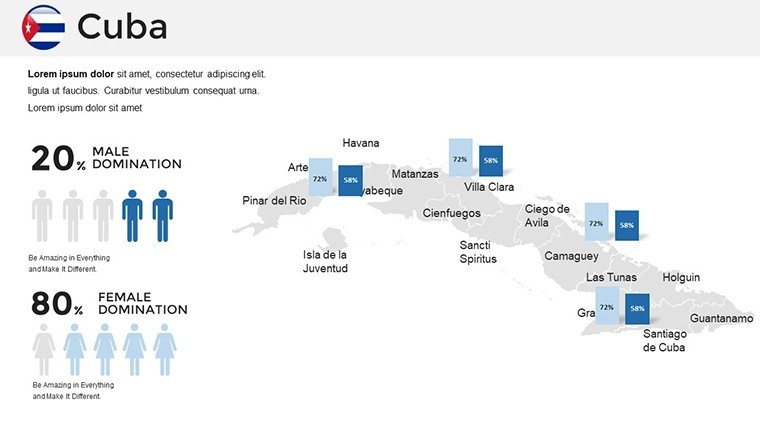
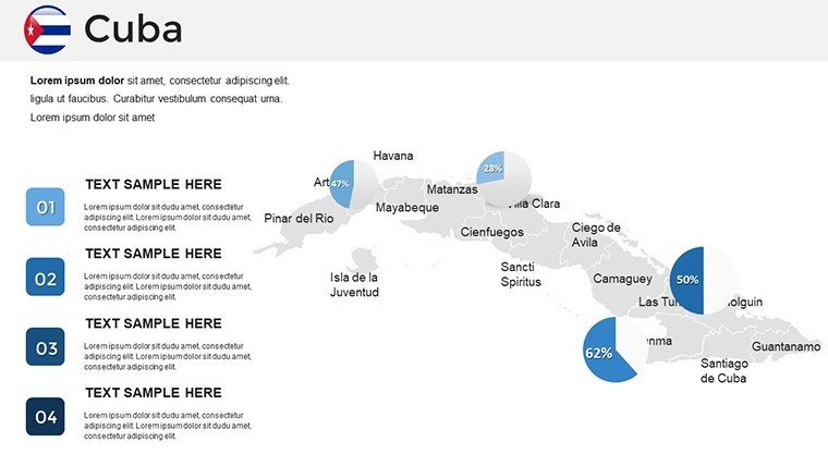
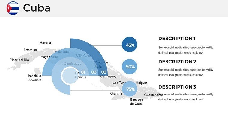
- Integrated Infographics: Pair maps with charts and icons, such as bar graphs showing tourism growth or pie charts on agricultural exports, all editable to fit your dataset.
- Compatibility and Ease: Works seamlessly with Microsoft PowerPoint, Google Slides, and even Keynote, ensuring you can collaborate without compatibility issues.
- Updated Data Integration: Base maps reflect current boundaries and features, with space to overlay the latest statistics from reliable sources like the CIA World Factbook.
These features draw on best practices in visual communication, similar to those used in award-winning presentations at conferences like TED or the AAG (Association of American Geographers), where clear mapping has proven to boost audience retention by up to 40% according to design studies.
Detailed Slide Breakdown for Maximum Utility
To give you a sense of the depth, here's a glimpse into the slide variety:
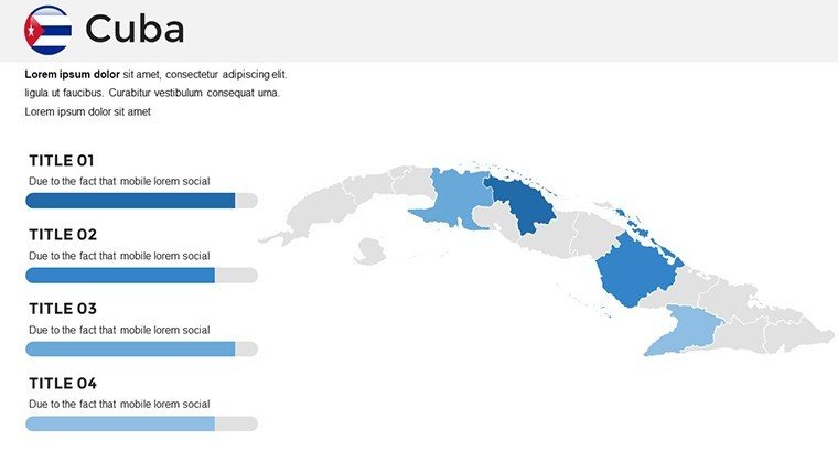
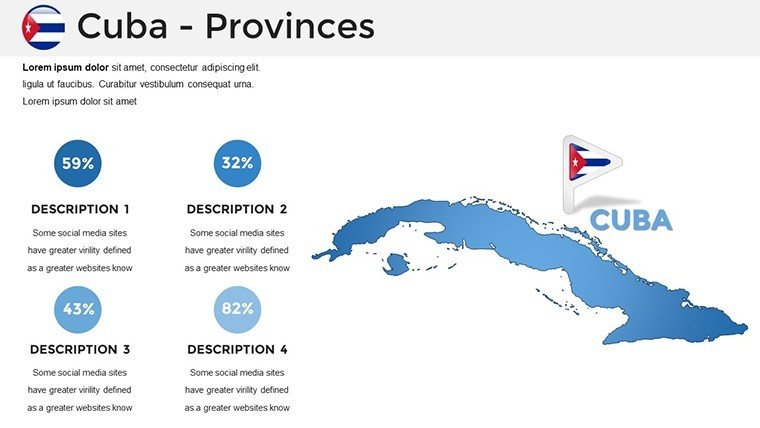
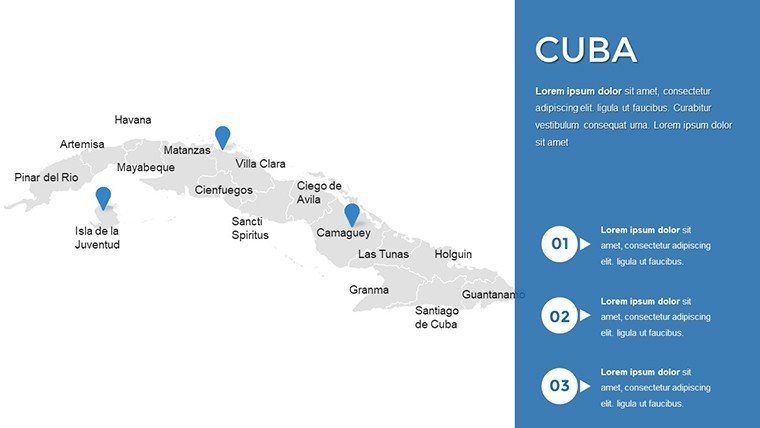
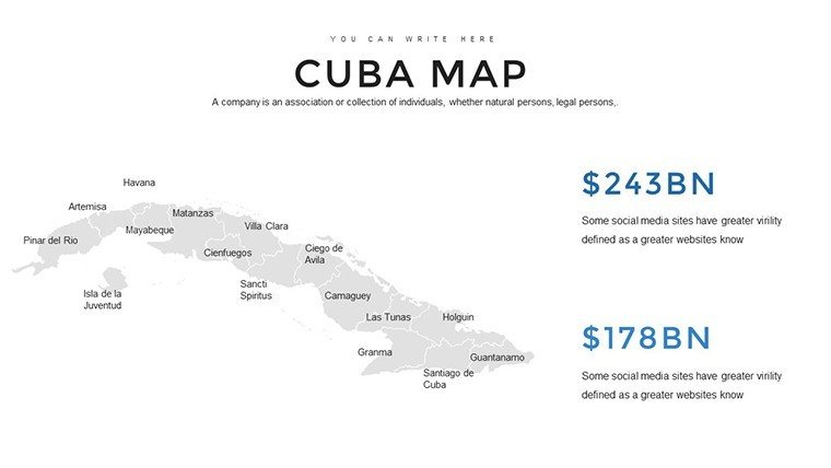
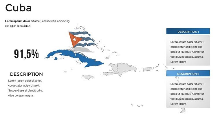
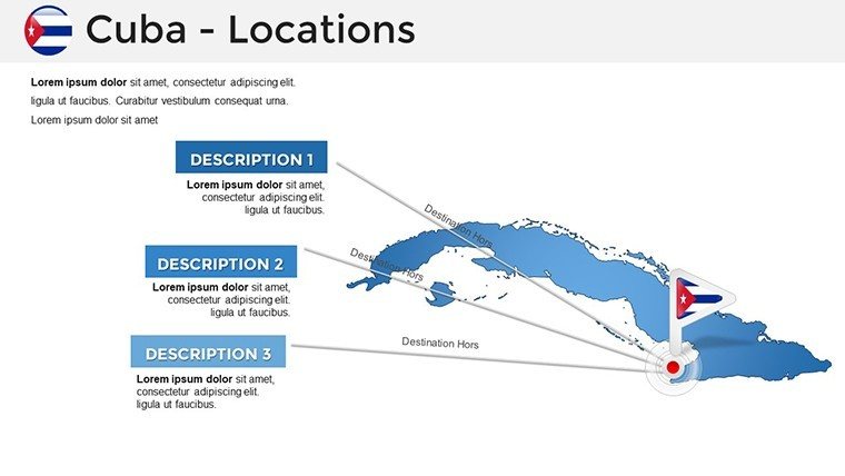
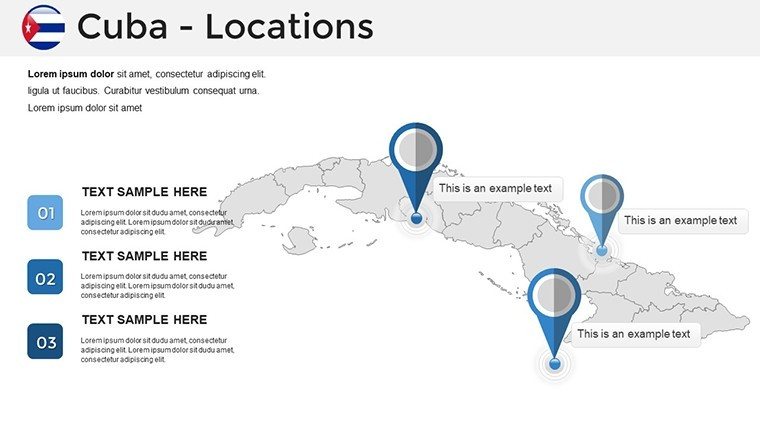
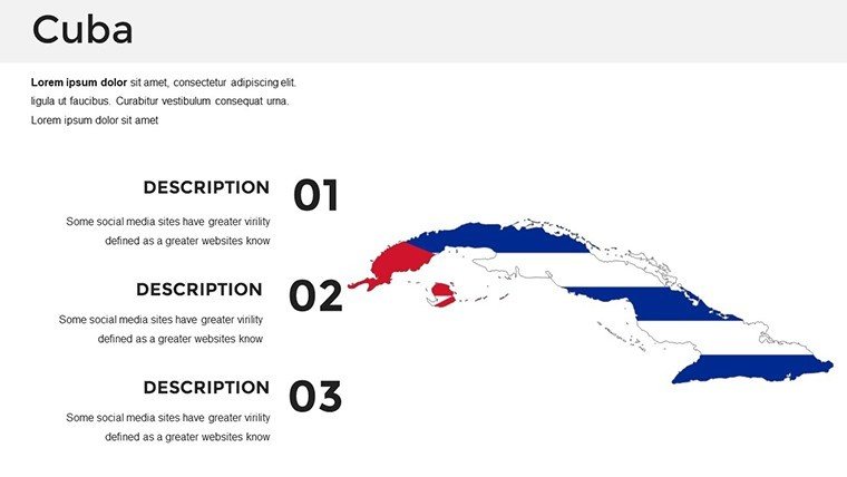
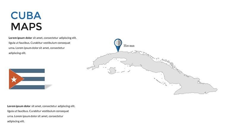
- Overview Map: A high-level view of Cuba's outline, perfect for introductory slides.
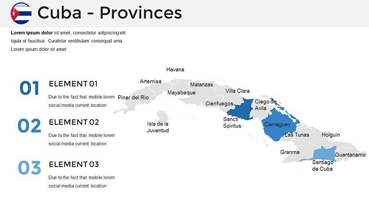
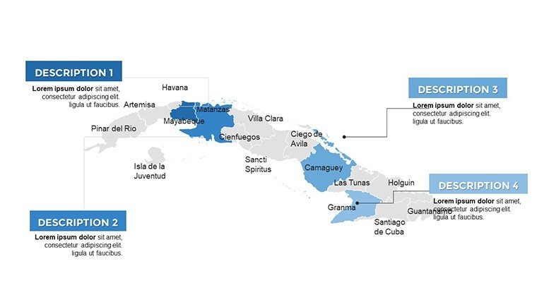
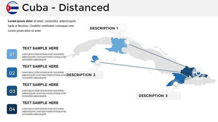
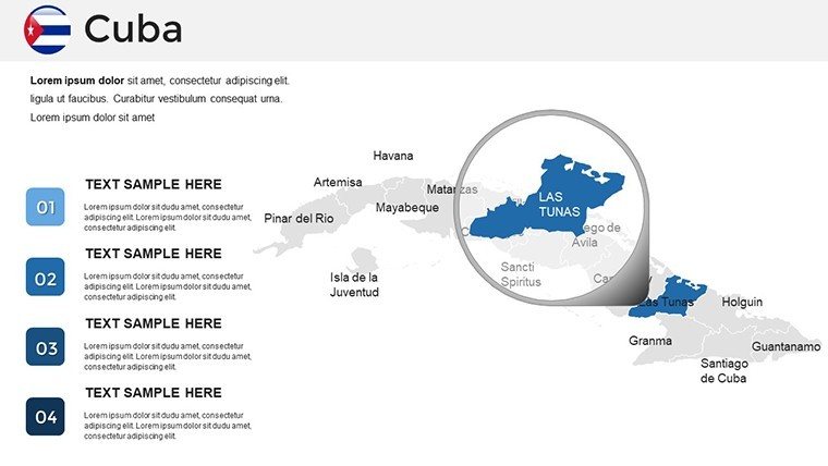
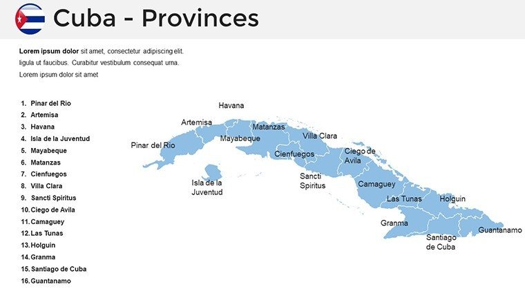
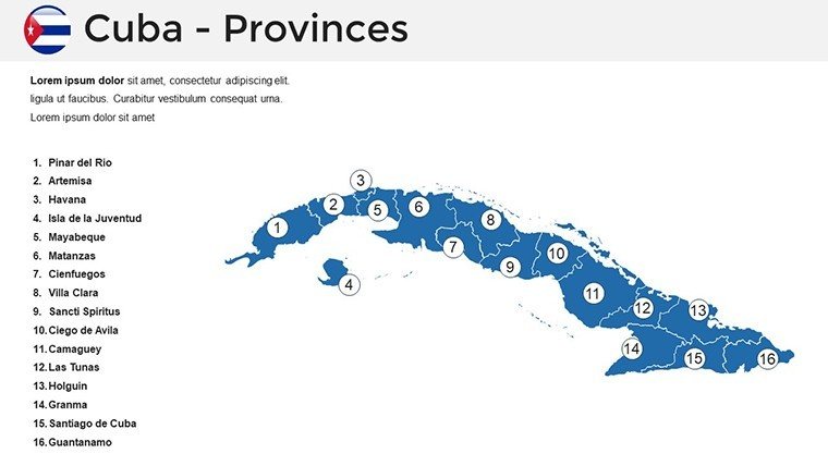
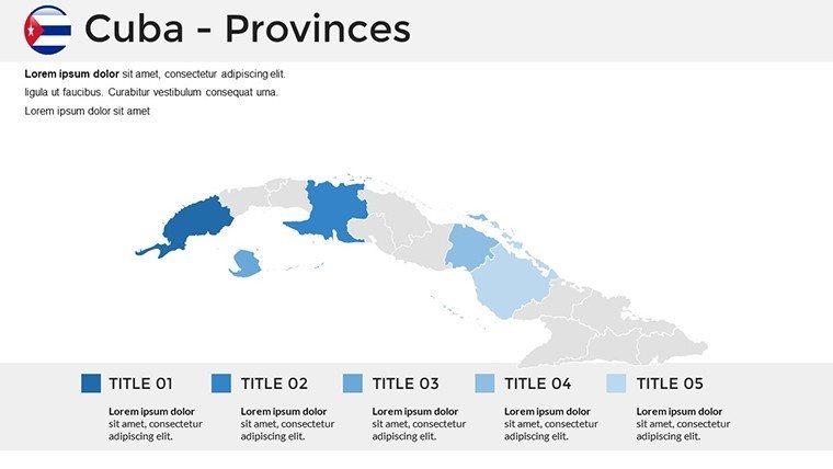
- Province Divisions: Individual slides for each province, allowing focused discussions on regional economies, like tobacco farming in Viñales.
- City Highlights: Zoomed maps of Havana, Camagüey, and others, with editable labels for urban planning presentations.
- Topographic Layers: Illustrate elevation and terrain, useful for environmental impact assessments.
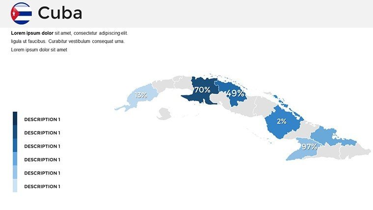
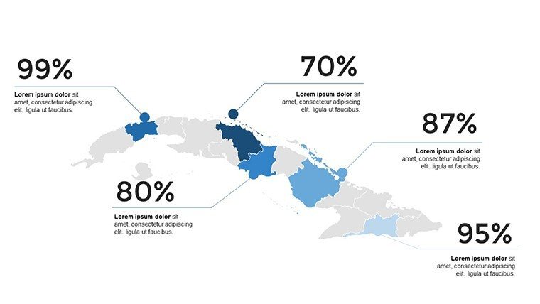
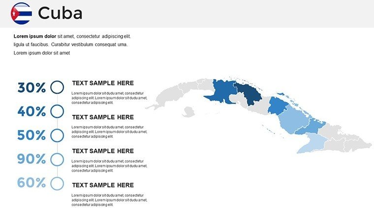
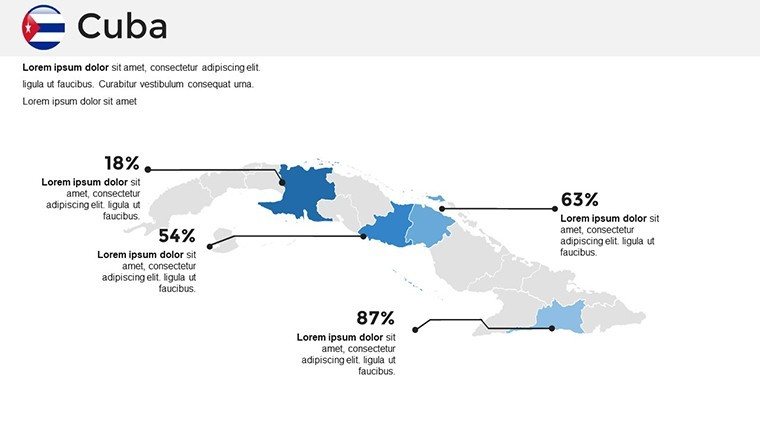
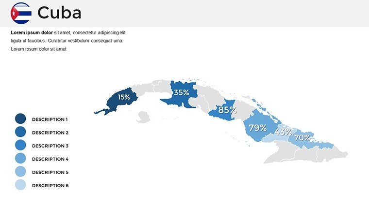
- Data Overlay Slides: Templates for adding heat maps or choropleths, ideal for visualizing health data during pandemics or economic disparities.
- Custom Icon Sets: Themed icons for tourism, industry, and culture to enhance storytelling.
With slides numbered from 0 to 35 in the preview, you can mix and match to create a bespoke deck. For example, combine a topographic slide with infographics to present on Cuba's national parks, aligning with conservation efforts recognized by the IUCN (International Union for Conservation of Nature).
Real-World Applications and Case Studies
This template shines in diverse scenarios. Take a business case: A multinational firm pitching investments in Cuba's biotech sector could use these maps to highlight Havana's research hubs, incorporating data from the BioCubaFarma group. In education, teachers have reported increased student engagement when using interactive maps to explore the Cuban Revolution's key sites, as per feedback from platforms like Teachers Pay Teachers.
For travel planners, customize slides to map out itineraries from the Malecón in Havana to the beaches of Cayo Coco, integrating photos or links for a multimedia experience. Researchers at institutions like the University of Havana might use it for papers on migration patterns, overlaying routes from Cuba to Florida with demographic stats.
Compared to basic PowerPoint maps, which often lack detail and flexibility, this template offers professional-grade tools without the need for expensive software like ArcGIS. It's like having a cartographer on call, ensuring your presentations stand out in competitive fields.
Expert Tips for Optimizing Your Maps
To maximize impact, follow these pro tips:
- Use contrasting colors for accessibility, adhering to WCAG guidelines for color-blind audiences.
- Incorporate animations sparingly - fade in data points to build suspense in your narrative.
- Pair with storytelling: Start with a broad map and zoom in, mirroring how explorers like Christopher Columbus approached the island.
- Update regularly: Cross-reference with sources like Google Earth for the latest satellite imagery integrations.
- Test on devices: Ensure maps render well on laptops, tablets, and projectors for seamless delivery.
These insights come from years of experience in presentation design, echoing advice from experts at firms like Duarte or Presentation Zen.
Why Professionals Trust This Template
With 546 ratings, users praise its accuracy and ease. It's not just a download; it's an investment in your professional image. Compatible across platforms, it ensures trustworthiness in every pitch.
Elevate your Cuba-focused presentations today - download and customize to make your data dance off the slides.
Frequently Asked Questions
How editable are the maps in this template?Every element is fully editable, from colors and labels to shapes and icons, using standard PowerPoint tools.Is this template compatible with Google Slides?Yes, it works seamlessly with Google Slides, Keynote, and Microsoft PowerPoint for versatile use.Can I use these maps for commercial purposes?Absolutely, the template is licensed for commercial use in presentations, reports, and more.How often are the maps updated?Maps reflect current geographic data, with recommendations to overlay your latest stats for accuracy.What if I need more slides?The 36 slides are comprehensive, but you can duplicate and modify them endlessly.Good for
- Project roadmaps and sprint plans
- Product launch timelines
- Quarterly or annual review decks
- Company history and milestone summaries
Licence
reviews
The charts were useful but I wish there were fewer decorative elements on some pages.
I downloaded this right before a meeting and it actually helped. The maps and icons were easy to edit.
Some slides looked a little outdated but the structure still worked for my report.
Good enough for quick regional data presentations. I liked the clean text areas.
I’m not a PowerPoint expert and still managed to customize everything pretty fast.
FAQ
Will it work in Google Slides?
Are fonts embedded?
Can I use this for client work?
What's the refund policy?
Do you update the template after purchase?
Similar templates
See all PowerPoint Maps →
All 36 slides