 Click to zoom
Mississippi Keynote Map Template: Navigate the Magnolia State
| Format | .pptx |
| Slides | 26 unique layouts |
| Aspect ratio | 16:9 |
| Compatibility | PowerPoint |
| Animated | No |
| Language | English |
| License | Commercial |
| File size | — |
| Version | v1.0 |
| Last updated | May 2022 |
What's inside
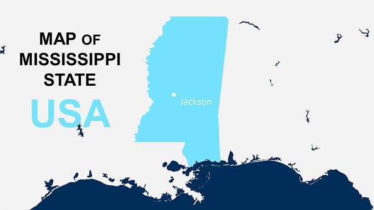
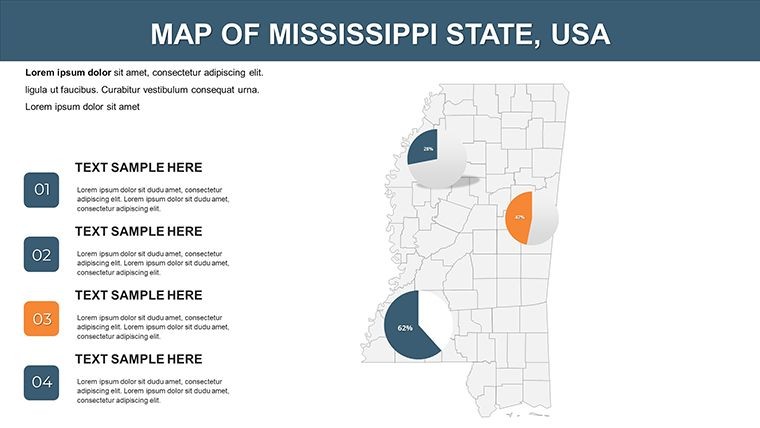
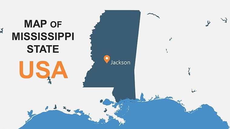
Envision a journalist in Jackson piecing together a story on Southern economic revival, using a map that not only locates but illuminates - highlighting the Mississippi River's vital role or the Delta's agricultural heart. Our Mississippi Keynote Map Template serves as that indispensable tool for reporters, historians, and business strategists seeking to weave geographical context into their narratives. Featuring 26 editable slides, it transforms raw data into beautiful, informative visuals, making complex comparisons across regions or timelines accessible and engaging. This isn't just a map; it's a versatile ally that saves time on research and design, allowing you to concentrate on the story that matters, whether it's tracing civil rights history or plotting trade routes.
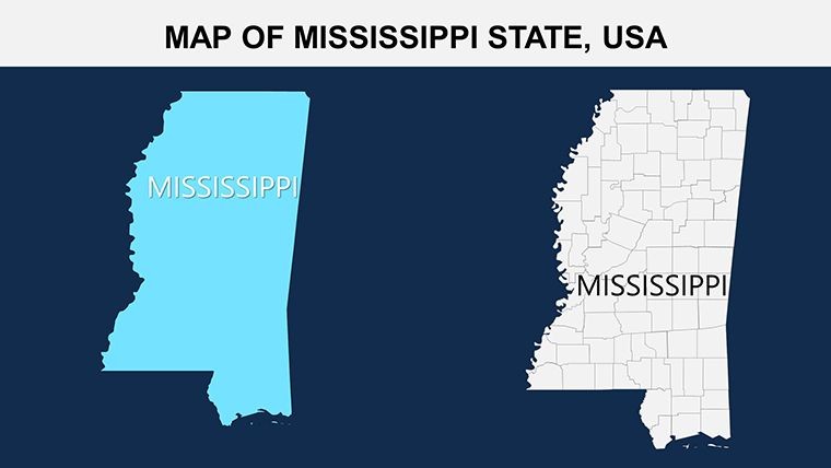
The template excels in its universal appeal, from statistical overviews to personal biographies tied to the land. Bordered by the Gulf of Mexico and the mighty Mississippi River, the state's 82 counties are rendered with precision, enabling users to color-code for everything from poverty rates to tourism hotspots. Optimized for Apple Keynote, it supports adding custom animations that bring historical events to life, like the march from Selma. Inspired by real applications in media outlets like the Clarion Ledger, this template aids in comparing U.S. states' experiences, fostering deeper understanding in presentations that inform policy or public discourse.
Core Strengths: Beauty Meets Functionality
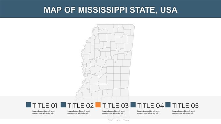
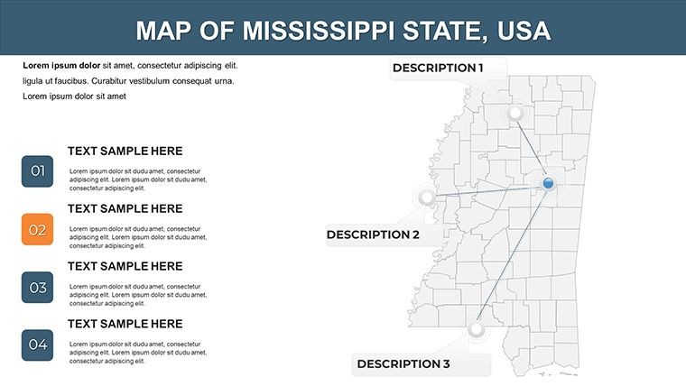
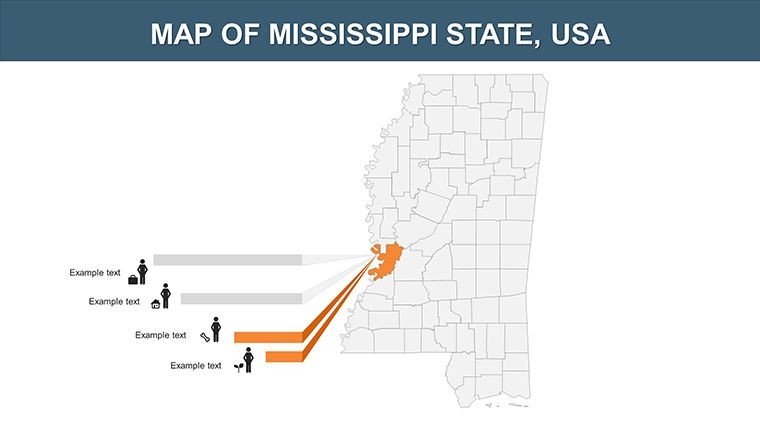
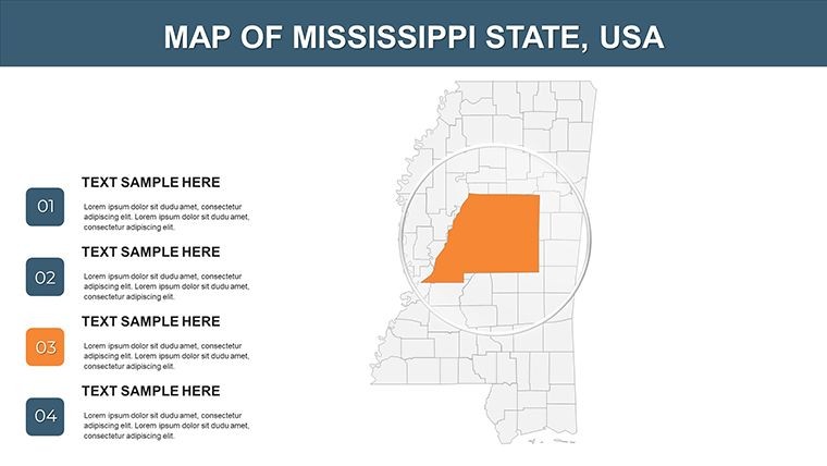
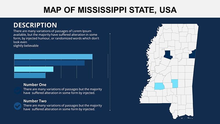
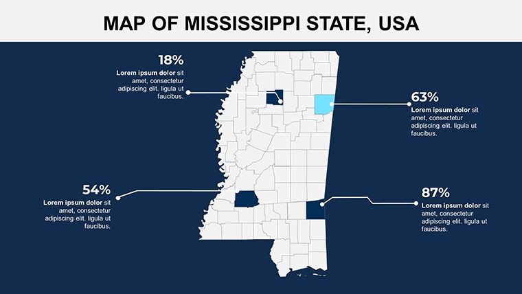
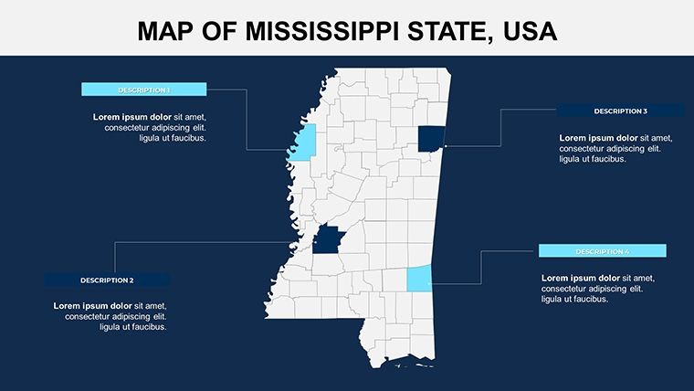
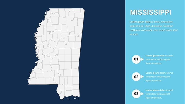
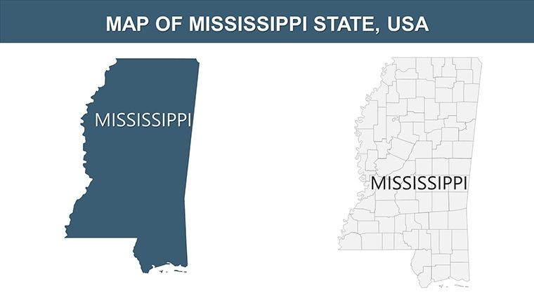
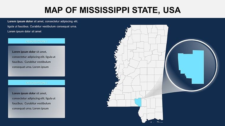
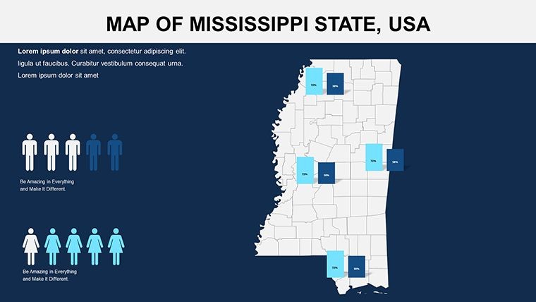
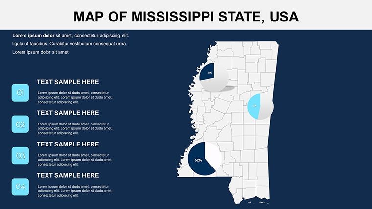
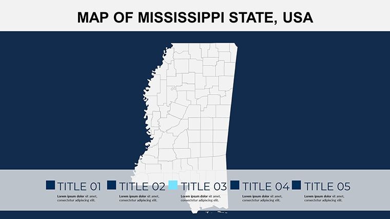
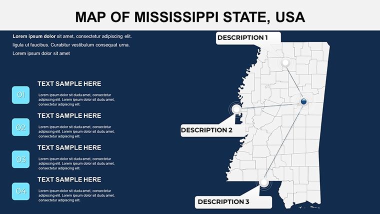
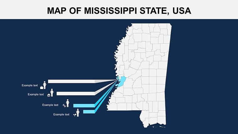
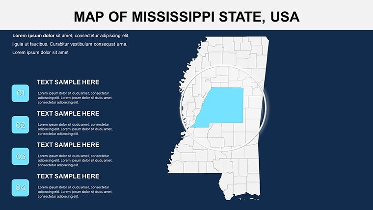
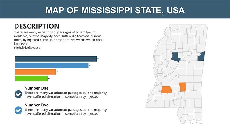
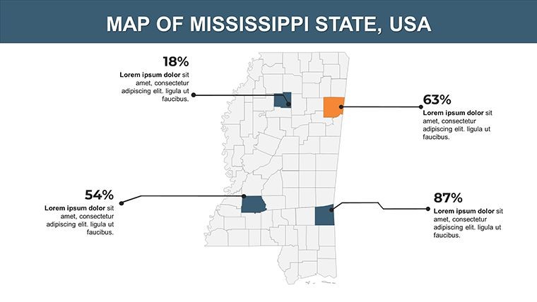
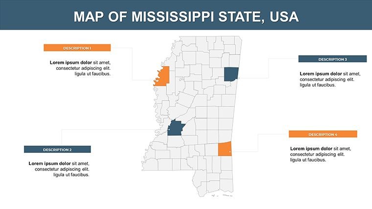
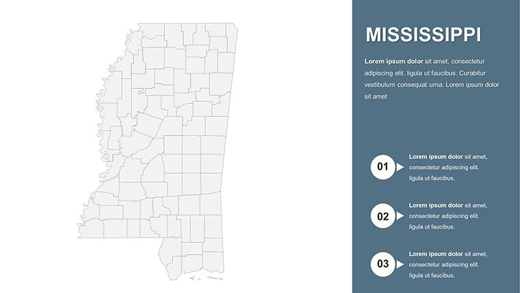
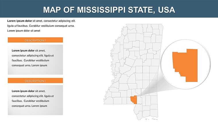
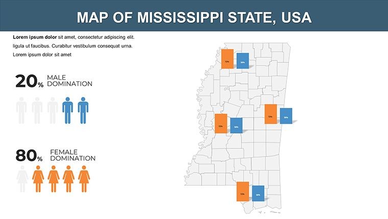
Delve into what makes this template a standout. Slide previews reveal a progression from statewide panoramas to county specifics, each primed for personalization.
- Informative Political Layouts: Detailed borders and labels for all counties, facilitating accurate data placement.
- Editable for Stats and Economics: Easily input figures for GDP or population, with scalable graphics.
- Animation Capabilities: Animate routes or event timelines to simulate journeys across the state.
- Versatile Themes: Adapt for journalism, education, or corporate use with minimal effort.
In contrast to free online mappers, this offers Keynote-native editing, reducing export hassles. A documentary producer in Oxford utilized it to map literary trails inspired by Faulkner, enhancing viewer immersion and project acclaim.
Exploring the Slide Structure Step by Step
Slides 0-5 provide holistic views, ideal for introducing the state's geography. Midway slides (6-15) target riverine counties, where you can layer flood risk data. Closing slides (16-25) focus on coastal areas, mapping hurricane impacts or port activities. Integrate icons for quick references, ensuring your deck flows logically from overview to detail.
- Gather your data and populate the editable fields.
- Select color schemes evoking Mississippi's blues and greens.
- Apply animations to key paths for dramatic effect.
- Review compatibility for sharing with non-Keynote users.
Practical Scenarios: Mapping Stories That Matter
For journalists, it's perfect for economic reports, overlaying unemployment trends on Delta maps to spotlight recovery efforts. Historians can trace the Blues Highway, animating cultural migrations. Businesses might use it for route planning, visualizing supply lines from Gulf ports to inland hubs, aligning with logistics strategies from companies like FedEx.
Design tip: Use subtle shading to denote historical significance, a technique praised by the Society of American Archivists for maintaining focus. Whether covering environmental restoration or community development, this template adapts, turning geographic canvases into compelling tales.
Transform Data into Discoveries Today
Embrace a tool that combines aesthetics with utility, tailored for those who shape opinions through visuals. This Mississippi Keynote Map Template equips you to inform and inspire, from newsrooms to lecture halls. Don't settle for plain diagrams - download and customize to craft narratives that endure. Your insights deserve this level of detail; make the map your message.
In the realm of informative design, few resources match its depth. Secure yours now and navigate toward presentations that truly connect.
Frequently Asked Questions
What types of data can I integrate into the maps?
From economic stats to historical timelines, all slides support adding charts, texts, and images via Keynote's tools.
Is it ideal for journalistic presentations?
Yes, with features for comparing regions and animating stories, it's built for data-driven reporting.
How many counties are covered?
All 82 Mississippi counties, with editable boundaries for precise localization.
Can animations be customized extensively?
Absolutely - Keynote's engine allows tailoring effects to match your narrative pace.
What's the best use for coastal slides?
Visualize trade, tourism, or disaster preparedness along the Gulf, with room for overlaid metrics.
Good for
- Project roadmaps and sprint plans
- Product launch timelines
- Quarterly or annual review decks
- Company history and milestone summaries
Licence
reviews
I downloaded this late at night before a deadline.
The infographic maps saved me a lot of stress.
Some slides were too colorful so I toned them down.
Easy to edit even without much Keynote experience.
Would probably reuse parts of it again.
FAQ
Will it work in Google Slides?
Are fonts embedded?
Can I use this for client work?
What's the refund policy?
Do you update the template after purchase?
Similar templates
See all Keynote Maps →

All 26 slides