 Click to zoom
Middle East Maps Keynote Template: Navigate Geopolitical Narratives
| Format | .pptx |
| Slides | 26 unique layouts |
| Aspect ratio | 16:9 |
| Compatibility | PowerPoint |
| Animated | No |
| Language | English |
| License | Commercial |
| File size | — |
| Version | v1.0 |
| Last updated | December 2022 |
What's inside
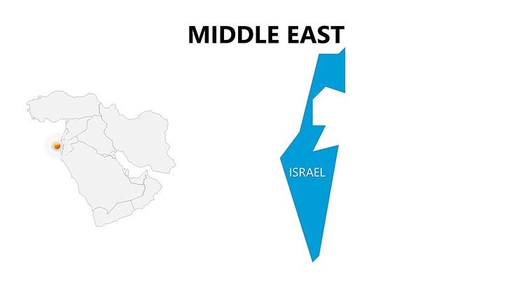
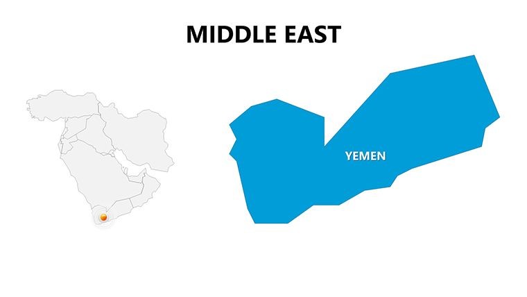
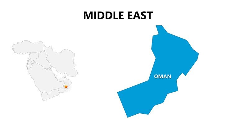
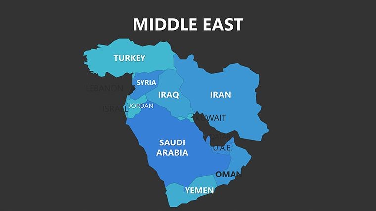
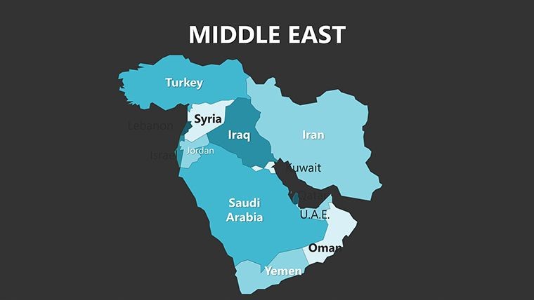
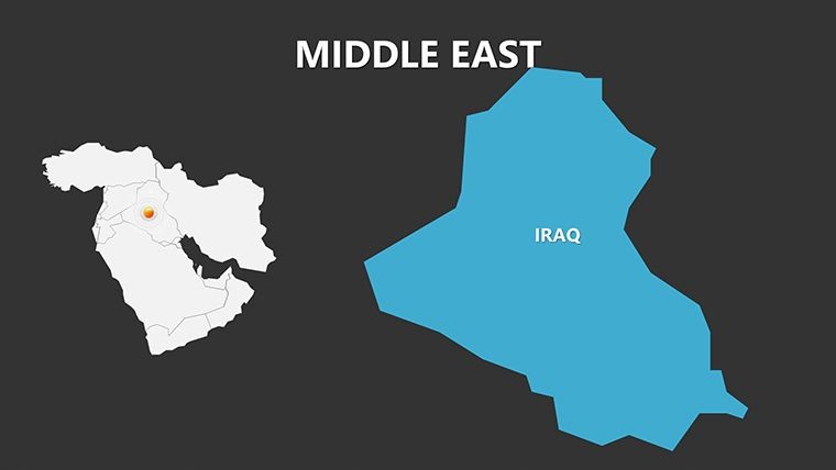
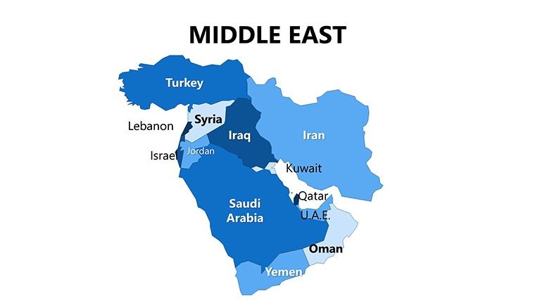
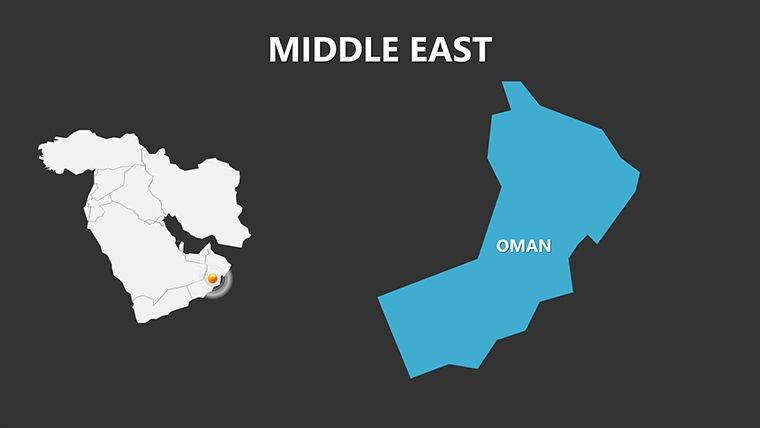
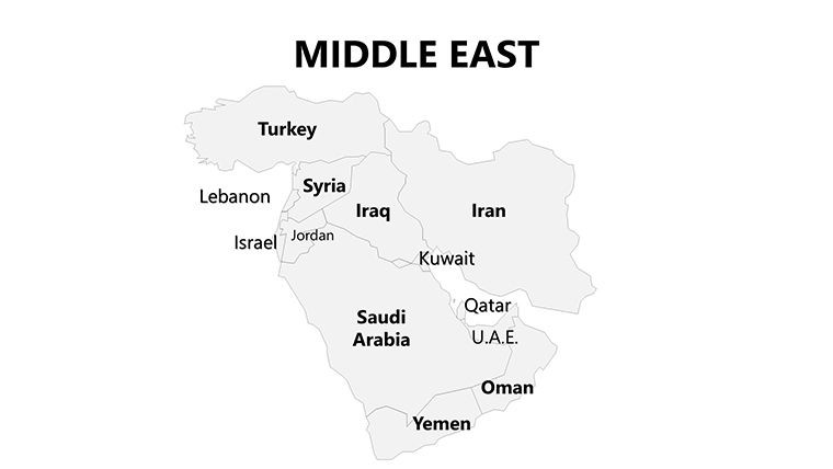
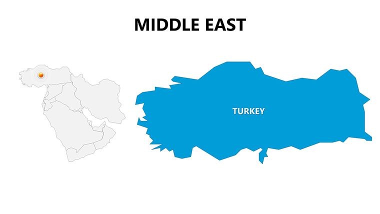
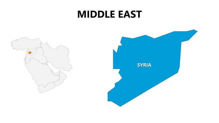
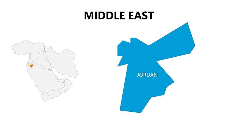
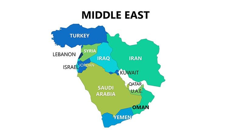
At the intersection of continents, the Middle East holds a pivotal role in global strategies, and presenting its complexities demands visuals that match its significance. Enter our Middle East Maps Keynote Template, featuring 26 meticulously designed editable slides that bring this dynamic region to life. From architects scoping cross-border infrastructure projects to executives mapping trade routes, this template equips you with the tools to articulate intricate details - like the strategic waterways of the Mediterranean, Red Sea, and Persian Gulf - with professional precision.
Drawing inspiration from real-world applications, such as how firms like AECOM utilize regional mapping for energy sector bids, this template ensures your presentations align with international standards, including those from the International Union of Architects. With its focus on the region's vast expanse, you'll effortlessly highlight economic hubs, conflict zones, or cultural landmarks, turning potential overwhelm into clear, actionable insights for your audience.
Standout Features for Strategic Visualization
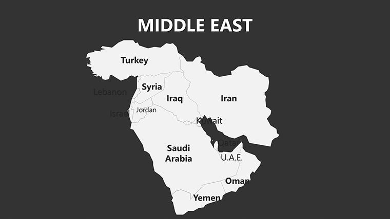
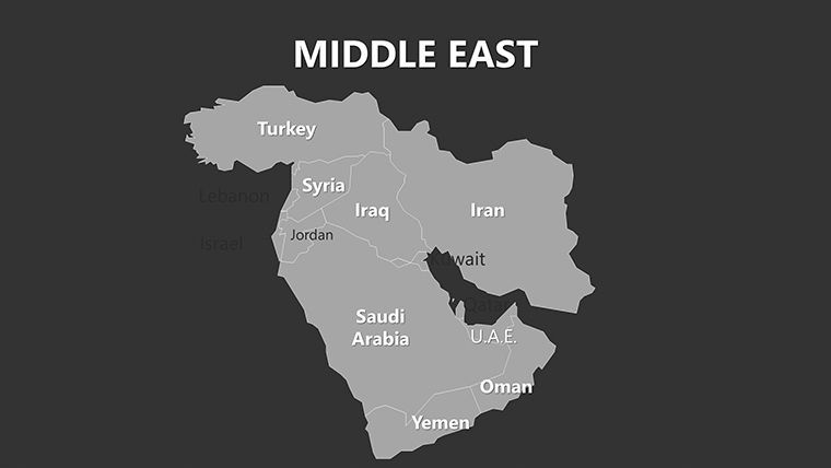
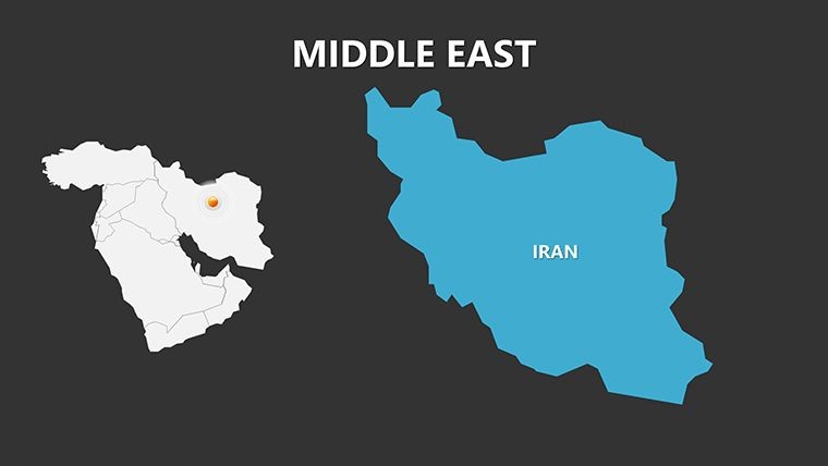
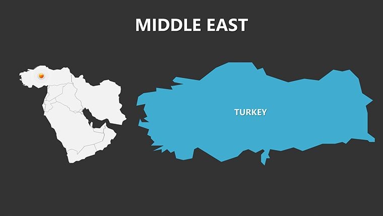
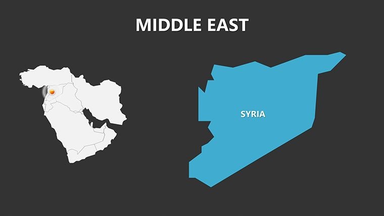
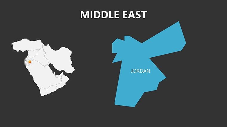
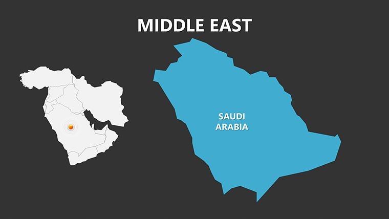
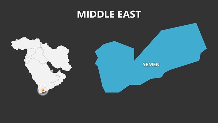
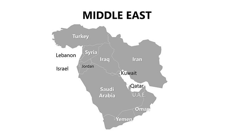
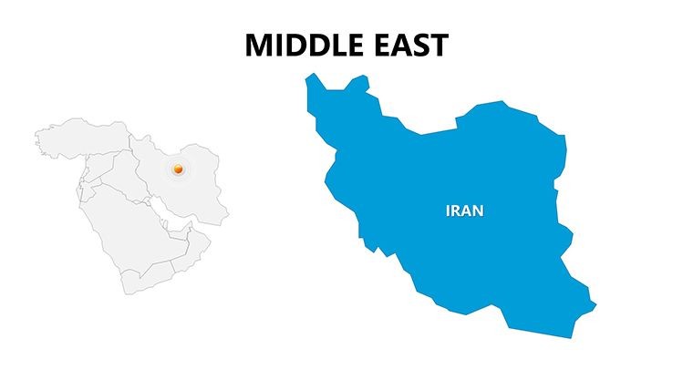
This template's strength lies in its balance of depth and usability, tailored for Keynote users who value efficiency. The 26 slides include high-fidelity maps spanning the entire Middle East, from Turkey's borders to Yemen's coasts, with interactive layers for customizing focus areas. Whether zooming into the UAE's innovation districts or overlaying oil pipelines across Saudi Arabia, every element is optimized for seamless edits.
- Layered Regional Maps: Peel back layers to reveal sub-regions, trade routes, or resource distributions, all in scalable vectors for any resolution.
- Custom Icon Library: 80+ icons depicting oil rigs, ancient ruins, and modern skylines, evoking the blend of heritage and progress unique to the area.
- Dynamic Data Visuals: Built-in bar charts for GDP comparisons or flow diagrams for migration patterns, easily populated with your stats.
- Versatile Color Options: Neutral desert palettes or bold accents for emphasis, ensuring readability in both light and dark modes.
Special slides like the gulf-focused infographic (slide 10) allow for scenario planning, such as simulating shipping lanes amid geopolitical shifts. For creative touches, animate borders to expand with historical timelines, a feature that generic tools lack, making your Keynote deck more engaging than standard exports.
Practical Applications: Bridging Strategy and Design
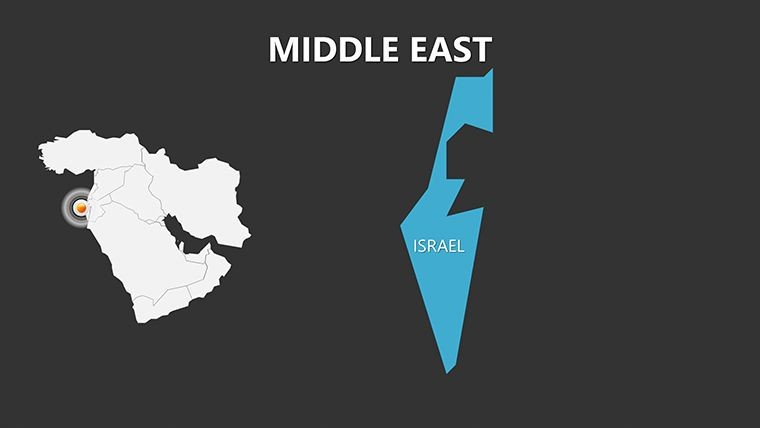
Picture pitching a renewable energy project spanning Jordan and Israel - slide 18's overlaid map lets you illustrate solar farm placements relative to water resources, impressing investors with data-driven foresight. In educational contexts, use slides 5-12 to dissect the Silk Road's modern echoes, layering trade data for interactive lectures that captivate students.
Business leaders have leveraged this for market entry analyses; one case akin to Deloitte's reports used the template to map consumer trends in Qatar versus Oman, reducing prep by 30% and clarifying diversification strategies. Architects find value in urban expansion slides (22-26), where you can superimpose sustainable designs onto cityscapes, adhering to LEED-like principles for the region.
- Geopolitical Briefings: Highlight alliances and tensions with color-coded zones on core maps.
- Infrastructure Proposals: Overlay pipelines or rail lines for feasibility studies in presentations to governments.
- Cultural Tours Planning: Mark heritage sites for tourism pitches, blending maps with photo integrations.
Unlike basic diagramming software, this template's Keynote integration supports smooth transitions, like panning across the Arabian Peninsula, enhancing narrative flow. Export to Google Slides for remote teams, preserving most edits for collaborative refinement.
Tailoring the Template to Your Needs
Customization begins with Keynote's build tools: Select a slide, drag icons to new positions, and sync charts via data import. A handy tip for planners - use the Persian Gulf slide to simulate climate impacts, adding wave animations for rising sea levels. This not only informs but inspires action, as seen in UN-inspired sustainability decks.
Ultimately, this Middle East Maps Keynote Template is your gateway to authoritative storytelling. By focusing on the region's crossroads identity, it helps demystify complexities, whether for boardrooms or classrooms, fostering deeper understanding and strategic wins.
Elevate Your Global Perspective Today
In an era where location intelligence drives decisions, this template delivers unmatched value. Its regional specificity sets it apart, empowering users to craft presentations that are as influential as the Middle East itself. For strategists, it's a toolkit for foresight; for designers, a canvas for innovation.
Seize the opportunity to make your mark. Acquire the Middle East Maps Keynote Template now and chart a course to presentation excellence.
Frequently Asked Questions
Is this template compatible with other software?
Primarily for Keynote, but exports to PowerPoint and Google Slides maintain map integrity, with minor animation tweaks possible.
How detailed are the maps?
Maps cover the full Middle East with sub-regional layers, editable for specifics like cities or waterways.
Can it support architecture or planning projects?
Yes, ideal for overlaying designs on maps for infrastructure and urban development visualizations.
What’s the slide count?
26 editable slides, including maps, infographics, and customizable layouts.
Are icons region-specific?
Indeed, with 80+ icons reflecting Middle Eastern elements like mosques and derricks.
Commercial use allowed?
Fully, for professional presentations and reports upon purchase.
Good for
- Project roadmaps and sprint plans
- Product launch timelines
- Quarterly or annual review decks
- Company history and milestone summaries
Licence
reviews
The regional map slides helped explain our shipping routes during a meeting. The arrows fit naturally into the layout.
Needed a quick presentation for geography class and these maps looked more organized than my usual slides.
I liked that the country sections could be recolored without breaking the design. Made edits pretty fast.
Not everything matched perfectly with my data but I still used most of the template. The marker icons looked decent.
The slides were easy to navigate and not overloaded with random effects. Good enough for internal reports.
FAQ
Will it work in Google Slides?
Are fonts embedded?
Can I use this for client work?
What's the refund policy?
Do you update the template after purchase?
Similar templates
See all Keynote Maps →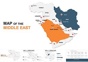
All 26 slides