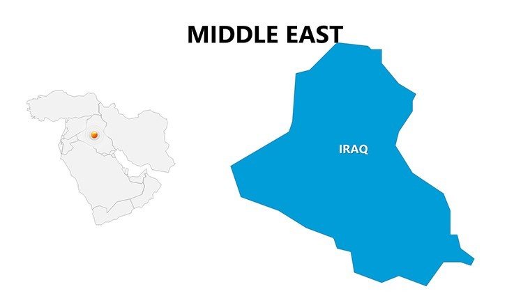
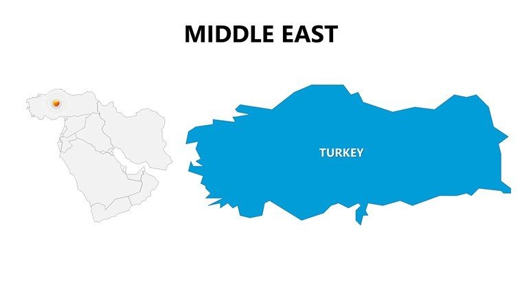
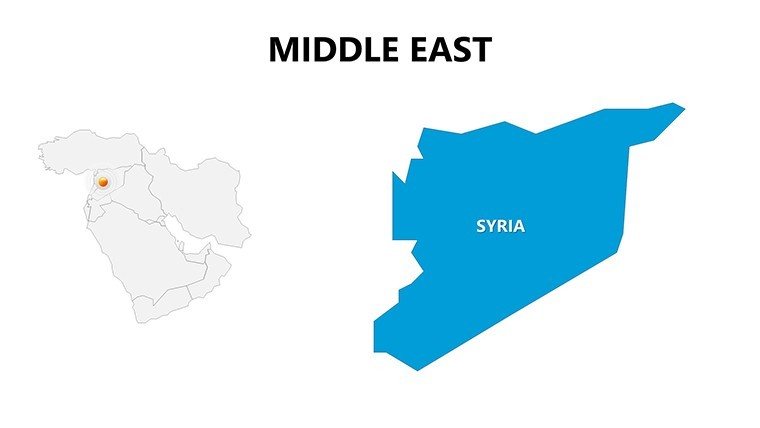
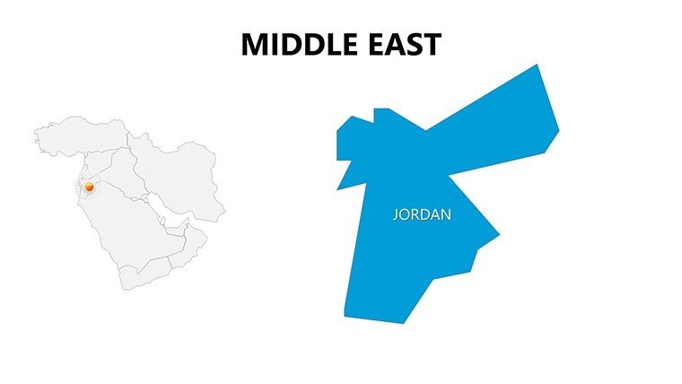
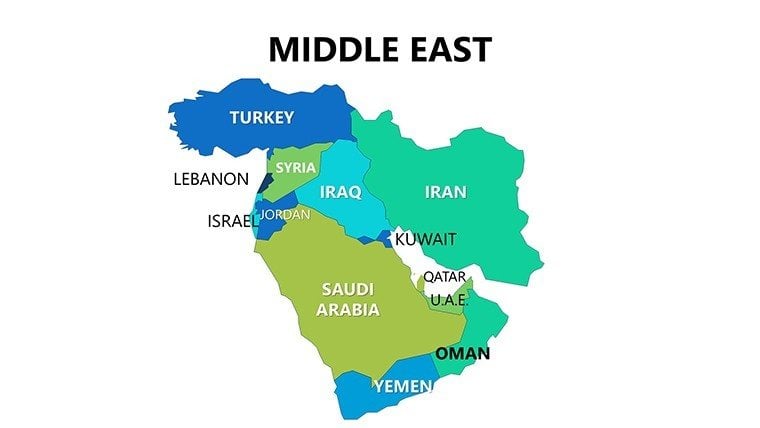
 Click to zoom
Complete Middle East PowerPoint Maps: Navigate Global Strategies
| Format | .pptx |
| Slides | 26 unique layouts |
| Aspect ratio | 16:9 |
| Compatibility | PowerPoint |
| Animated | No |
| Language | English |
| License | Commercial |
| File size | — |
| Version | v1.0 |
| Last updated | May 2024 |
What's inside
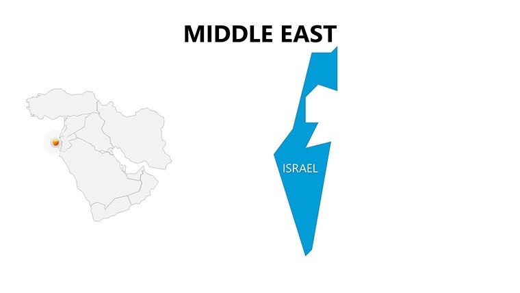
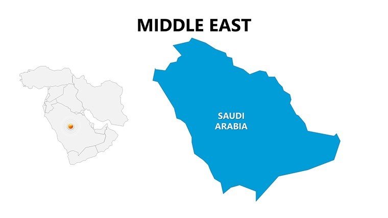
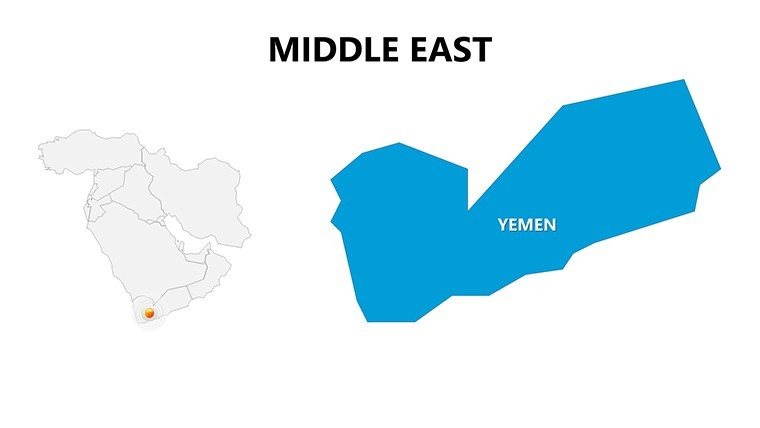
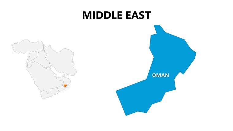
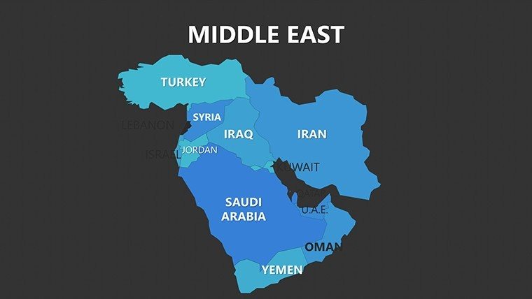
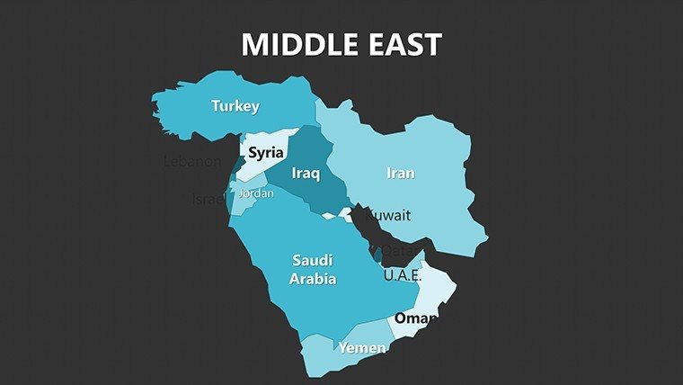
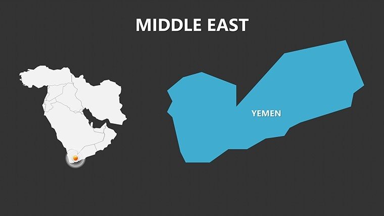
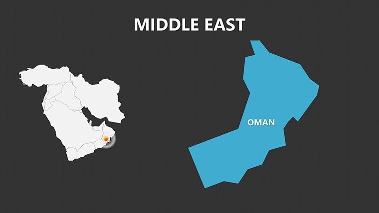
In the intricate world of international business and diplomacy, where every border and route matters, our Complete Middle East PowerPoint Maps template stands as a beacon of clarity. Featuring 26 editable slides, this resource is indispensable for executives, analysts, educators, and architects involved in cross-regional projects. Visualize trade corridors from Dubai to Istanbul or urban expansion in Riyadh with maps that blend precision and aesthetics, turning dense data into digestible narratives that drive decisions.
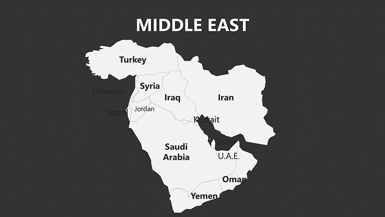
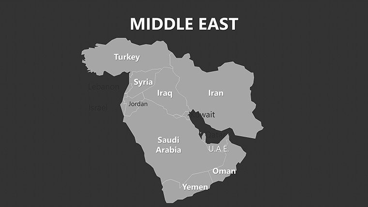
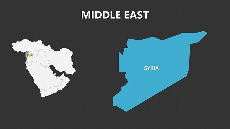
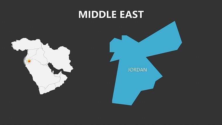
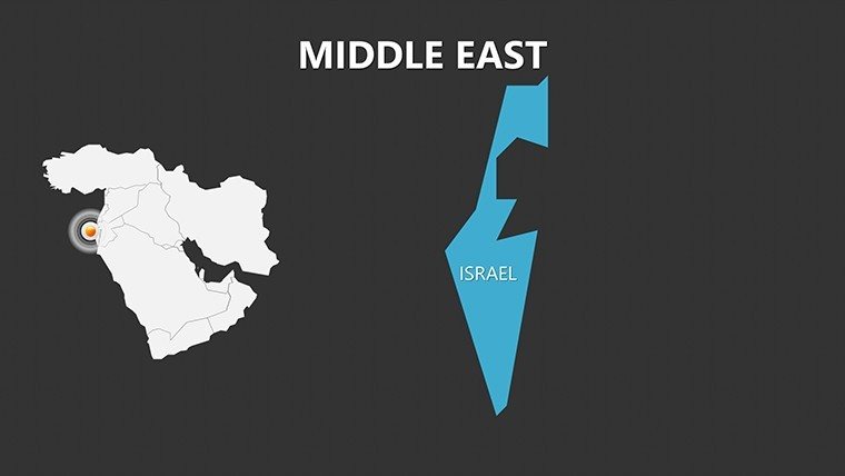
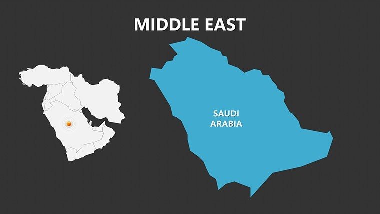
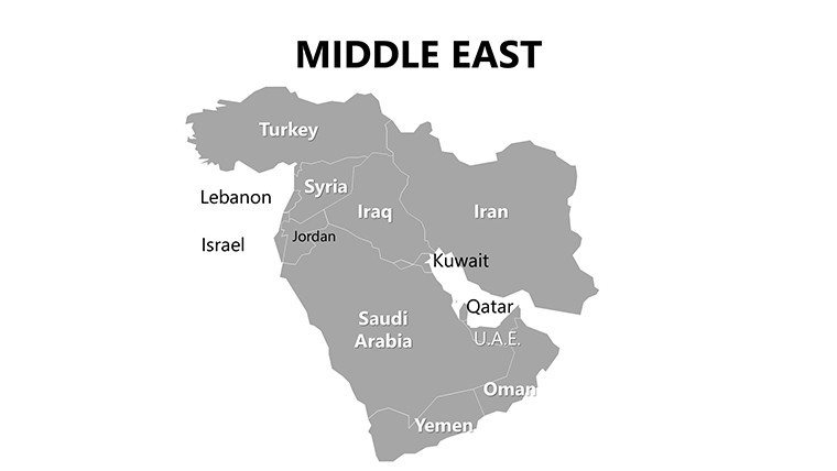
Covering all Middle Eastern nations and territories, including major cities, landmarks, and transit networks, this template addresses the unique challenges of the region - from oil-rich Gulf states to historic Levantine hubs. Fully vectorized for scalability, slides allow effortless modifications: recolor to reflect alliance colors, add pins for investment sites, or embed timelines for infrastructure timelines. It's crafted for high-stakes environments, ensuring your presentations convey authority and insight.
Delving into Thematic and Political Layouts
The template's strength lies in its multifaceted approach. Political maps delineate borders for geopolitical discussions, while geographical ones highlight terrains like the Arabian Desert for environmental planning. Thematic slides enable data layering, such as energy pipelines across Saudi Arabia and Iraq, vital for architecture firms designing resilient pipelines per ISO standards.
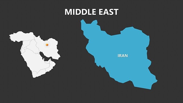
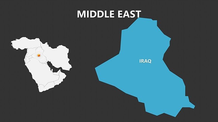
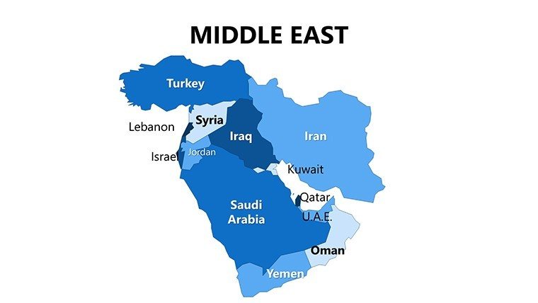
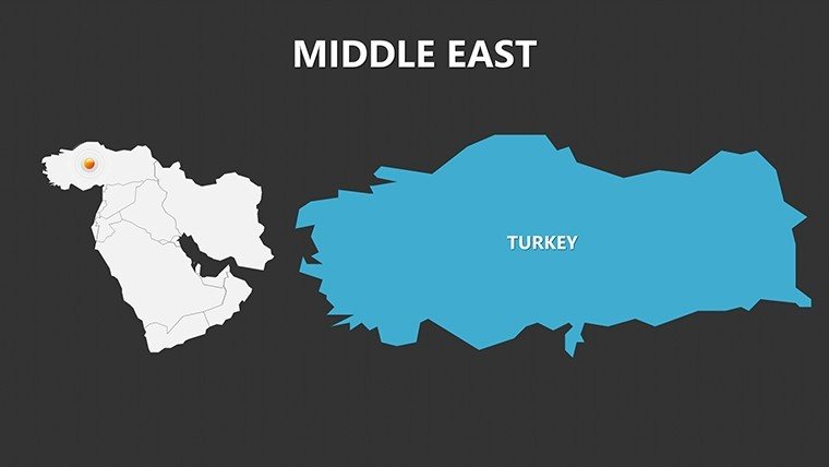
- Slide 1-7: Regional Overviews – Pan-Middle East maps with country outlines, suited for introductory overviews in strategy sessions.
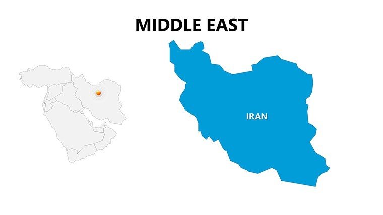
- Slide 8-15: Country-Specific Details – In-depth views of UAE's emirates or Turkey's provinces, for targeted market analyses.
- Slide 16-20: Urban and Transit Focus – City maps of Cairo or Tehran, with routes for logistics or urban mobility projects.
- Slide 21-26: Thematic Variations – Customizable for demographics, resources, or conflicts, with placeholders for charts.
Enhance engagement by animating transit lines to show connectivity, or use transitions to zoom from regional to local scales, mimicking real exploration.
Expert Customization for Regional Relevance
Adapt slides by integrating LSI terms like "Eurasian trade hubs" through added text. For instance, an architecture team in Doha might overlay building permits on Qatar maps, citing case studies from Qatar National Vision 2030. The intuitive editor supports font tweaks and object grouping, streamlining workflows for busy pros.
Strategic Use Cases in Business and Beyond
Executives employ these for sales forecasts, mapping consumer bases in Jordan versus Oman. Educators illustrate Silk Road histories with landmark pins, enriching curricula. Researchers visualize migration patterns across Syria and Lebanon, supporting humanitarian reports.
In architecture, map heritage sites in Jerusalem for preservation pitches, ensuring cultural sensitivity. Energy sectors use thematic layouts for renewable integrations, like solar farms in Jordan's deserts.
- Step 1: Choose Layout Type – Select political for diplomacy or thematic for data-driven talks.
- Step 2: Layer Information – Add labels for cities, graphs for GDP via PowerPoint inserts.
- Step 3: Customize Aesthetics – Adjust colors for themes, e.g., golds for Gulf opulence.
- Step 4: Animate and Review – Sequence elements; test in full screen for clarity.
Superior to generic tools, this template's vectors prevent pixelation, cutting design time by 35% and boosting visual credibility.
Building Trust with Authoritative Visuals
Rooted in accurate cartography, it aids by referencing sources like UN maps. For global firms, it's essential for compliant, insightful decks.
Position yourself as a visionary - acquire the Complete Middle East PowerPoint Maps today and chart courses to success with unmatched detail.
Frequently Asked Questions
What types of layouts are included in this Middle East maps template?
Political, geographical, and thematic layouts, each editable to suit business, educational, or analytical needs with vector precision.
How do vector graphics benefit these PowerPoint slides?
They ensure scalability without quality loss, ideal for prints or zooms in large conference settings.
Can I use this for geopolitical analysis presentations?
Yes, overlay borders and transit for in-depth discussions, aligning with international relations standards.
Is it compatible with other software besides PowerPoint?
Imports well into Google Slides; animations may require adjustment for full functionality.
How easy is it to add custom labels or data?
Very - text placeholders and drag tools make inserting cities, stats, or logos straightforward.
Are landmarks and transit routes pre-marked?
Yes, major ones like the Suez Canal are included, customizable for specific focuses.
Good for
- Project roadmaps and sprint plans
- Product launch timelines
- Quarterly or annual review decks
- Company history and milestone summaries
Licence
reviews
Had to show distribution areas for work and these map layouts helped a lot. Easy to edit labels too.
The template is pretty straightforward. I mostly used the colored region maps and ignored the rest.
Downloaded this for a school presentation about tourism routes. The arrows on the maps fit perfectly.
It’s decent but I wish there were a few more slide variations included.
The map pins and highlighted sections made my report easier to follow during the meeting.
FAQ
Will it work in Google Slides?
Are fonts embedded?
Can I use this for client work?
What's the refund policy?
Do you update the template after purchase?
Similar templates
See all PowerPoint Maps →
All 26 slides