 Click to zoom
Indonesia Keynote Map Template: Navigate Archipelagic Excellence
| Format | .pptx |
| Slides | 30 unique layouts |
| Aspect ratio | 16:9 |
| Compatibility | PowerPoint |
| Animated | No |
| Language | English |
| License | Commercial |
| File size | — |
| Version | v1.0 |
| Last updated | August 2025 |
What's inside
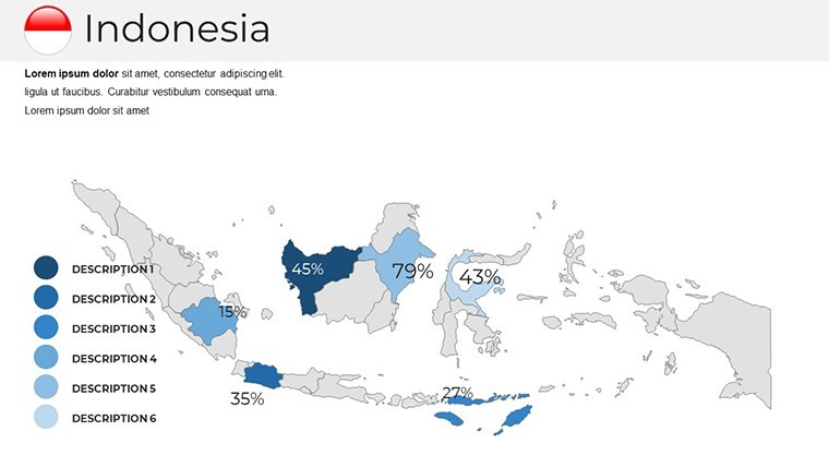
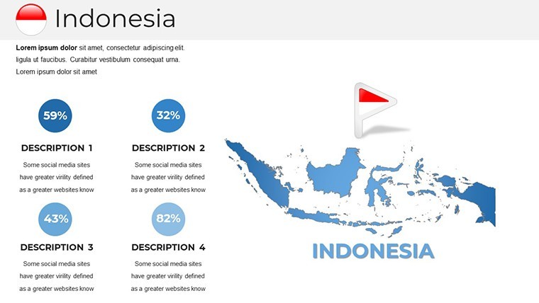
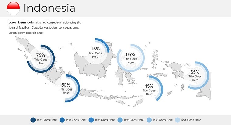
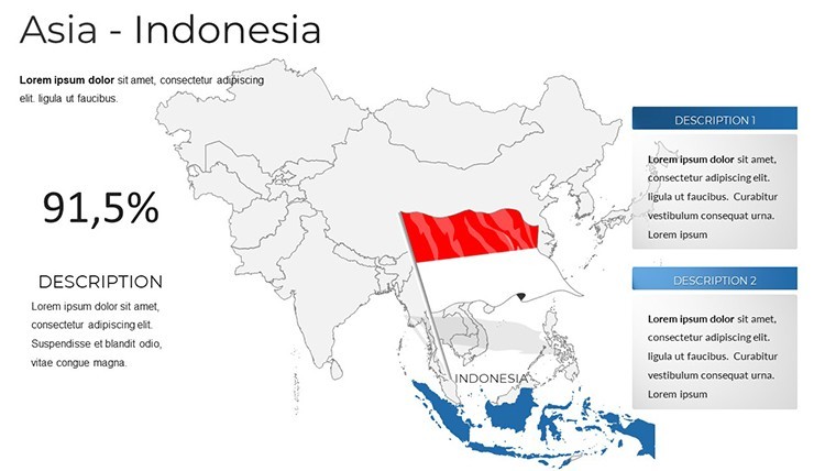
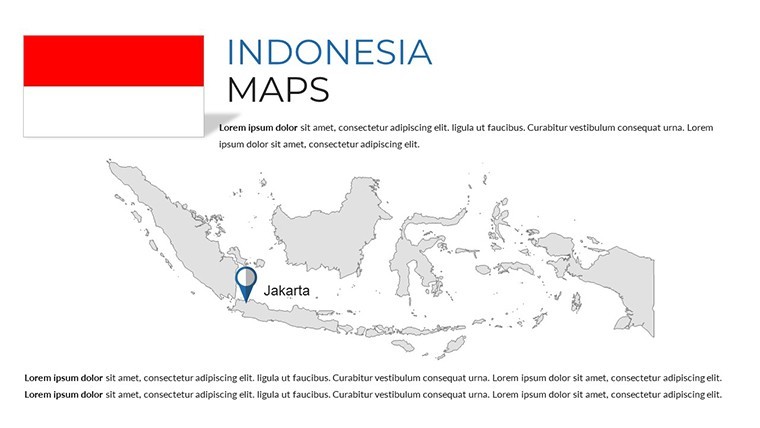
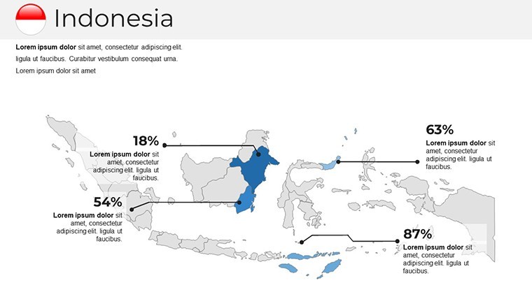
Embark on a visual voyage across the world's largest archipelago with the Indonesia Keynote Map Template, crafted to bring the nation's 17,000+ islands to life in your presentations. Boasting 30 editable slides, this template is a must-have for business strategists dissecting market expansions in Java, educators unraveling the spice trade's legacy, or tourism experts promoting Bali's allure. Designed for Apple Keynote, it transforms geographical complexity into accessible, high-impact narratives that resonate deeply.
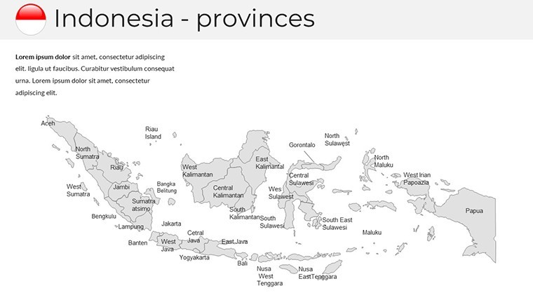
Spanning 1.9 million square kilometers in Southeast Asia, Indonesia's diverse provinces - from Sumatra's rainforests to Papua's highlands - demand precise mapping. This template delivers with handcrafted, vector-editable maps that maintain fidelity across edits. Key benefits include multipurpose adaptability, custom animations for dynamic reveals, and Retina-ready graphics that shine on any screen. Ditch outdated clipart; here, free fonts and infographics empower you to infuse personality, cutting design time while amplifying professionalism.
Harnessing Editable Maps for Strategic Storytelling
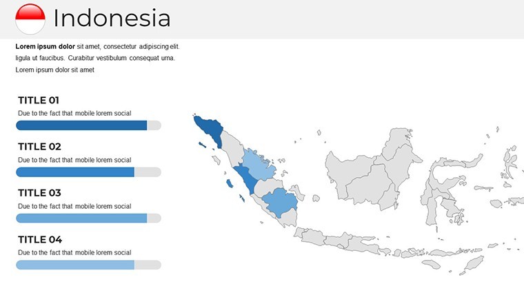
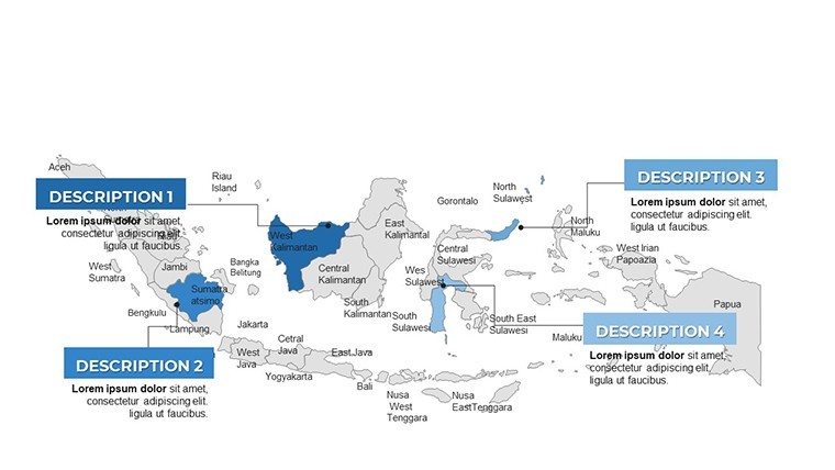
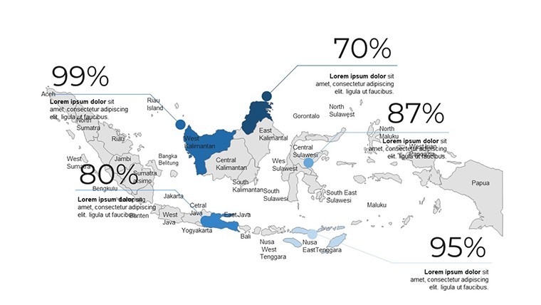
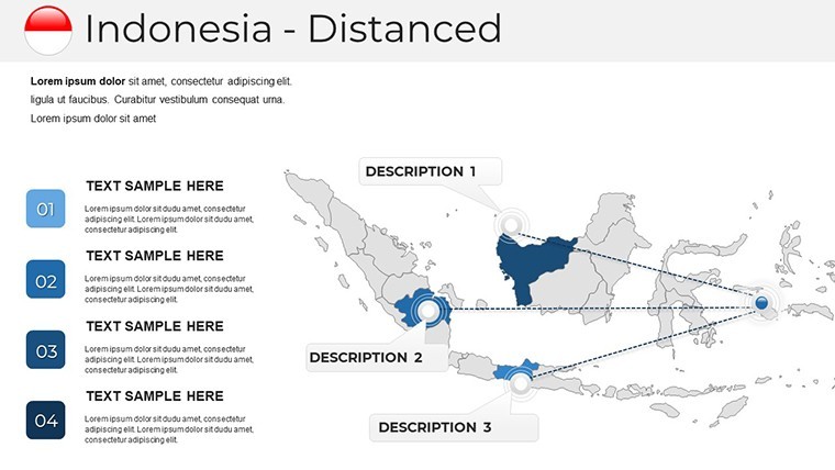
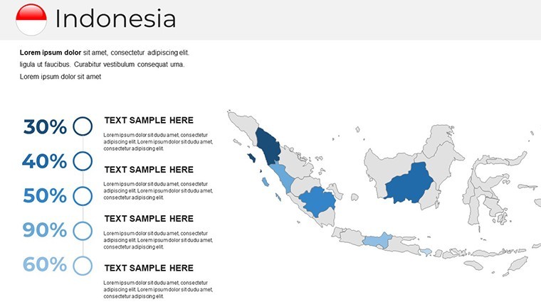
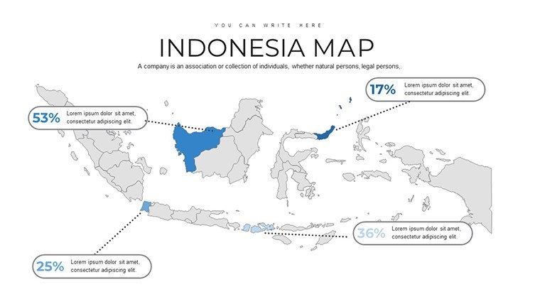
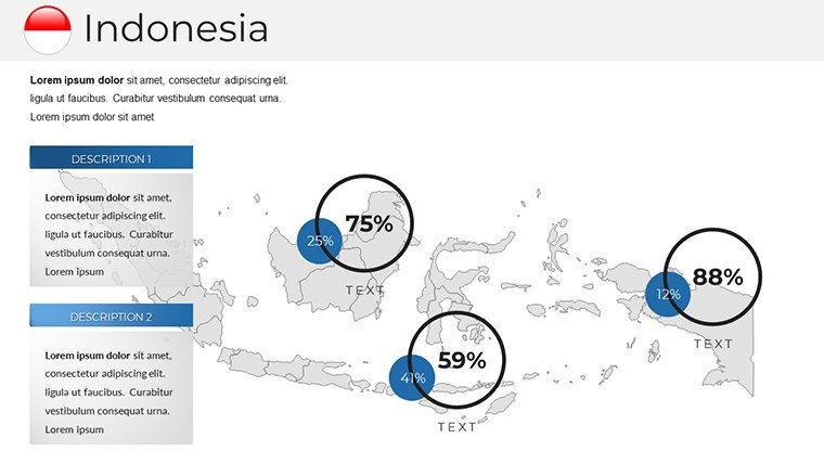
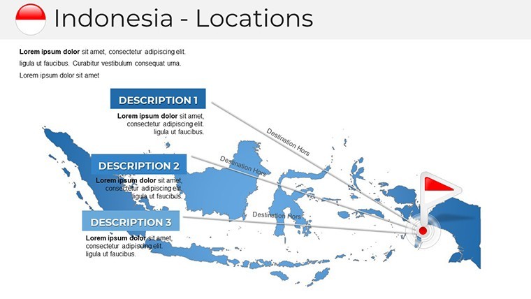
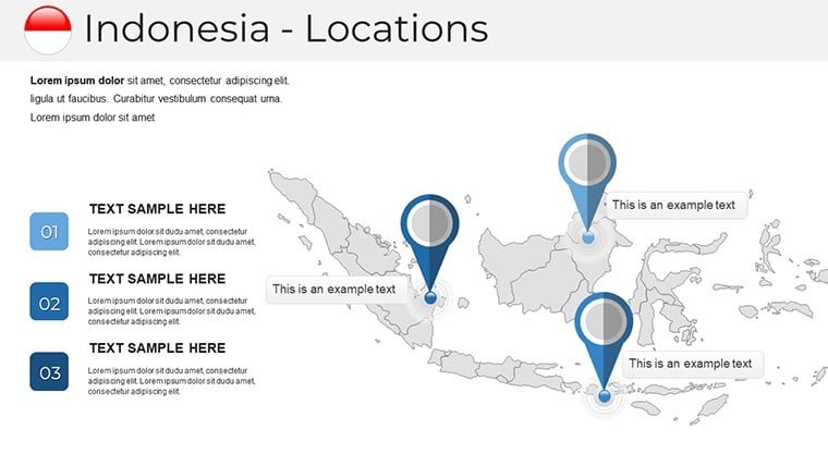
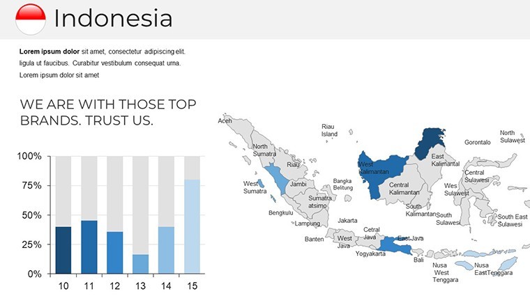
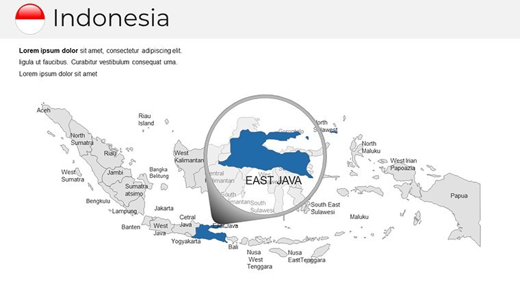
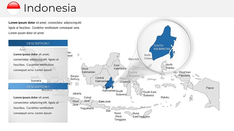
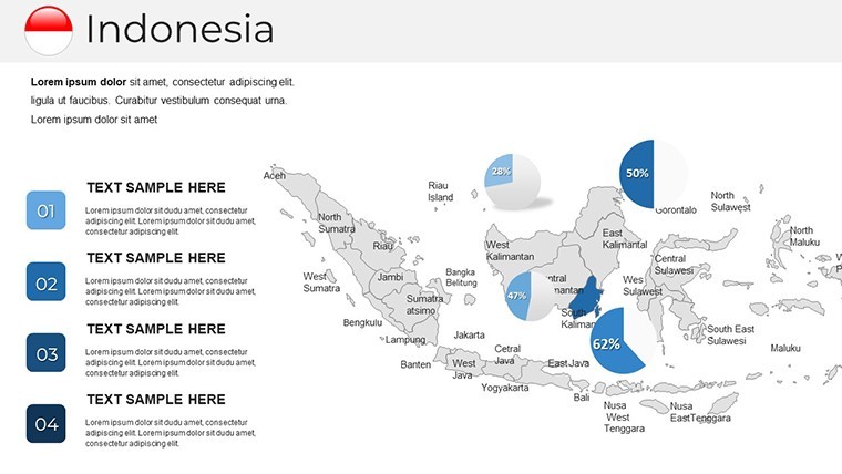
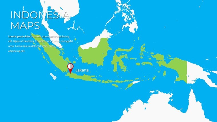
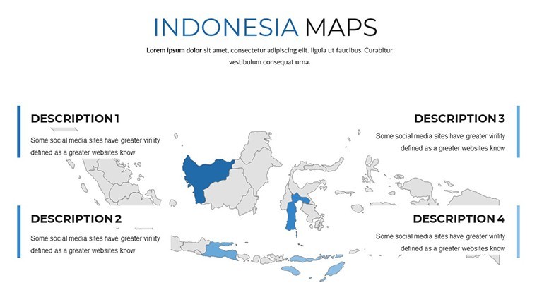
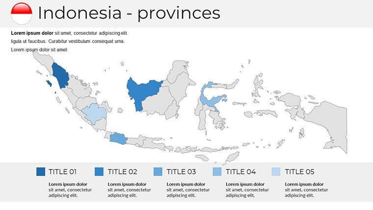
Central to the template are its editable Indonesia Keynote maps, where you can isolate provinces like Aceh or Sulawesi with a click. High-resolution vectors prevent blurring, perfect for detailing Jakarta's urban sprawl or volcanic chains. Animate transitions to unfold the archipelago progressively, mirroring Indonesia's federation story and increasing engagement, as evidenced by studies on visual learning in professional settings.
Business users layer logistics data for palm oil exports; teachers illustrate administrative divisions for civics classes. Outshining basic alternatives, its innovative section breaks and documentation facilitate quick mastery, supporting full HD exports for versatile use.
Seamless Customization Strategies
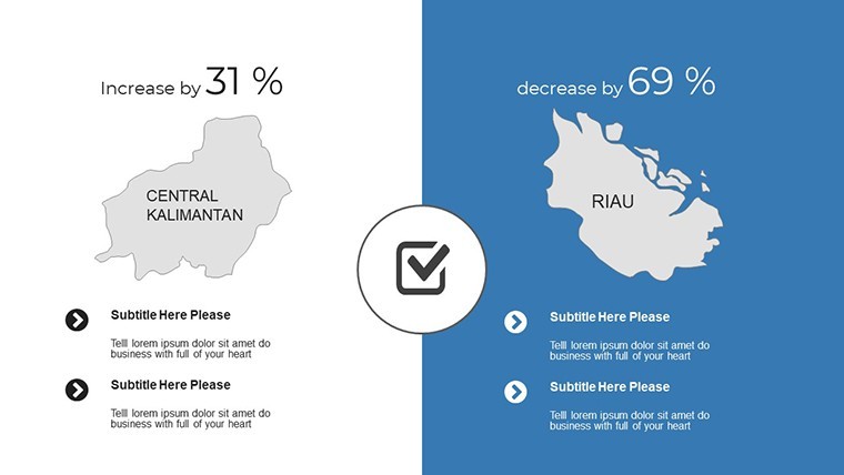
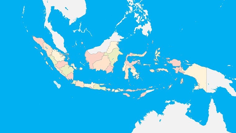
- Region-Specific Edits: Double-click provinces to recolor, emphasizing economic hotspots like Batam's free trade zone.
- Animation Customization: Tailor builds for object-by-object emphasis, ideal for tourism route overviews.
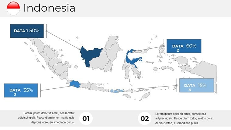
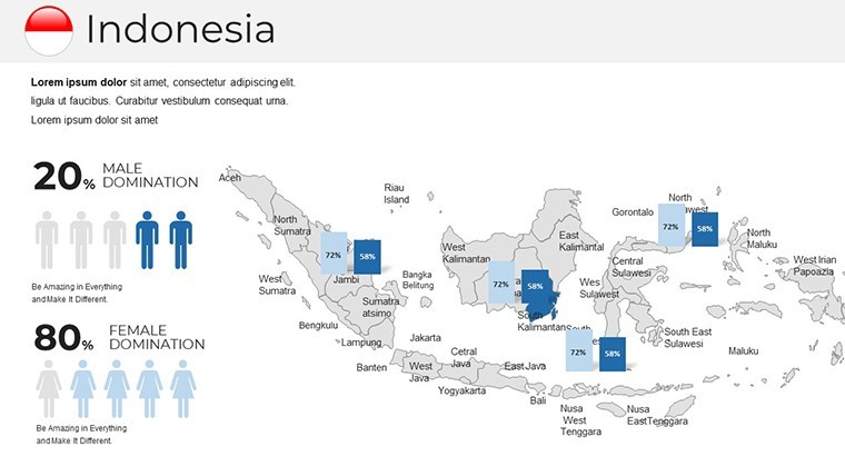
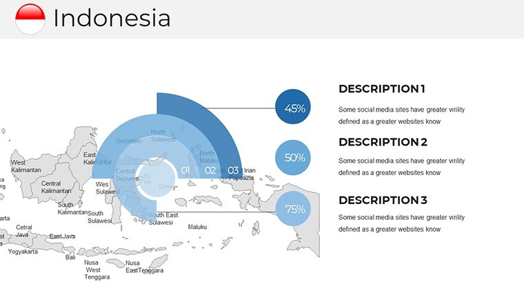
- Infographic Fusion: Embed charts for population densities or GDP visuals, all natively supported.
Expert advice: Utilize the quick guide for font swaps, ensuring cultural sensitivity in color choices for diverse audiences.
Tailored Applications for Real Impact
Picture a consulting firm mapping disaster response in tsunami-vulnerable areas like Nias, using layered risk assessments to advise governments - drawing from actual ASEAN resilience reports. In academia, visualize colonial influences across the Moluccas, enriching history seminars. Tourism pitches spotlight Komodo's dragons with interactive maps, converting viewers into travelers.
Its modern aesthetic aids NGOs in conservation efforts for coral reefs or investors eyeing renewable energy in geothermal-rich regions. Precision ensures compliance with geographic norms, like those from Indonesia's Badan Informasi Geospasial, building credibility.
Step-by-Step Mastery Guide
- Define Scope: Select slides targeting key areas, such as Java for demographics or Lesser Sunda for ecology.
- Embed Insights: Import datasets for heat maps, highlighting trends like urbanization.
- Enhance Dynamics: Apply animations to sequence island groups, building geographical context.
- Validate Output: Test on devices, export to formats like MOV for multimedia integration.
This framework not only polishes your work but showcases your adeptness in geospatial communication.
Distinctive Edges in Professional Mapping
Crafted by seasoned designers following global standards, this template excels with precise projections and scalable icons. It surpasses generics through features like tick-mark adjustments for analytical depth and grid tools for alignments. Integrate with external apps for augmented views, or use in hybrid sessions for global teams.
Whether strategizing Belt and Road corridors or teaching volcanic geology, elevate your discourse. Acquire the Indonesia Keynote Map Template today and chart courses that inspire - your archipelago of ideas deserves this canvas.
Frequently Asked Questions
How do I edit regions in the maps?
Double-click the desired province or shape, then modify colors, labels, or boundaries via Keynote's tools.
Are animations pre-built for all slides?
Yes, with options to customize; they include smooth transitions tailored for map explorations.
Can this template handle high-resolution exports?
Fully Retina-ready, supporting 4K outputs without quality degradation for prints or videos.
Who is the ideal user for these maps?
Business pros for strategies, educators for lessons, and tourism experts for destination marketing.
Does it include documentation?
A comprehensive quick guide covers all features, from basic edits to advanced customizations.
Are the maps geographically accurate?
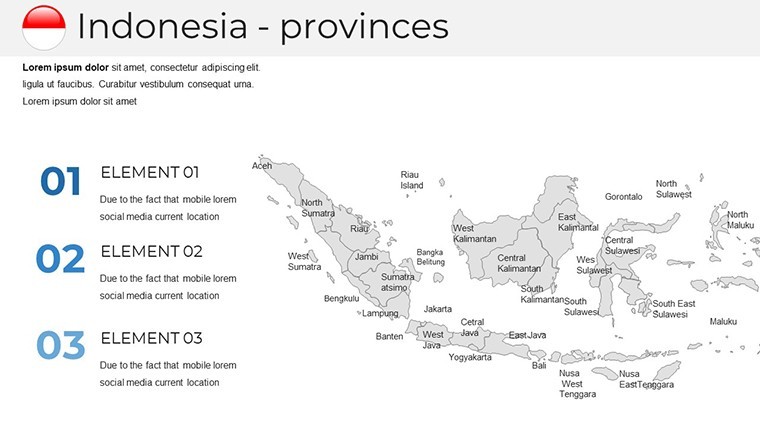
Yes, based on official sources, depicting all 38 provinces with precise boundaries and scales.
Good for
- Project roadmaps and sprint plans
- Product launch timelines
- Quarterly or annual review decks
- Company history and milestone summaries
Licence
reviews
Tried to customize the pie chart colors but it took longer than I thought.
Good for internal meetings, wouldn't use for anything client-facing though.
The slide transitions are a bit dated but the content placeholders are solid.
Needed a org chart fast, this template had a couple decent options.
A few of the diagram connectors didn't align properly, had to tweak them manually.
FAQ
Will it work in Google Slides?
Are fonts embedded?
Can I use this for client work?
What's the refund policy?
Do you update the template after purchase?
Similar templates
See all Keynote Maps →
All 30 slides