 Click to zoom
Idaho Keynote Maps Template: Chart the Gem State's Vast Horizons
| Format | .pptx |
| Slides | 26 unique layouts |
| Aspect ratio | 16:9 |
| Compatibility | PowerPoint |
| Animated | No |
| Language | English |
| License | Commercial |
| File size | — |
| Version | v1.0 |
| Last updated | October 2023 |
What's inside
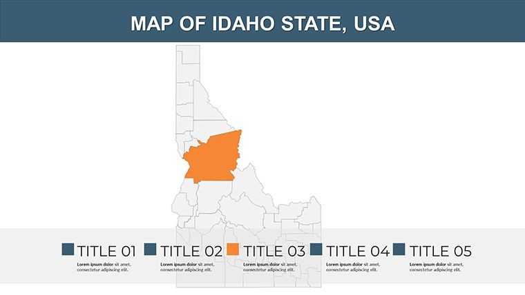
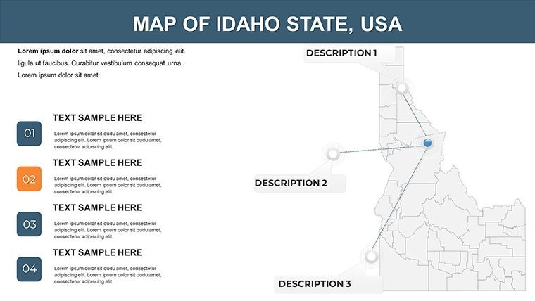
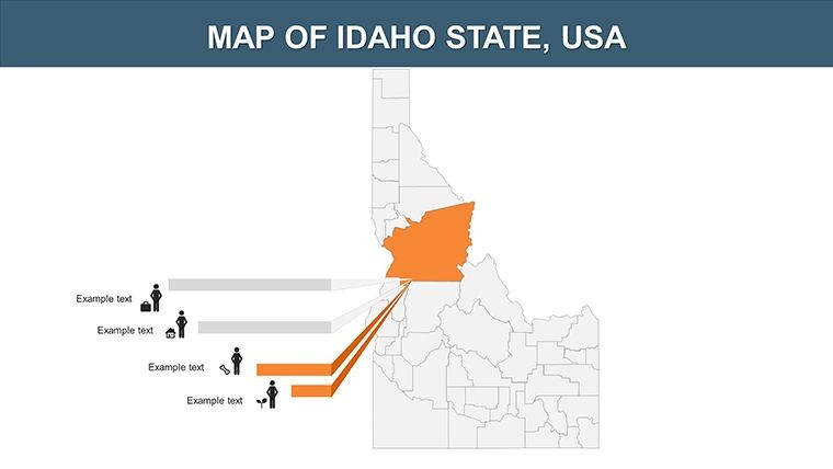
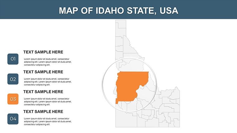
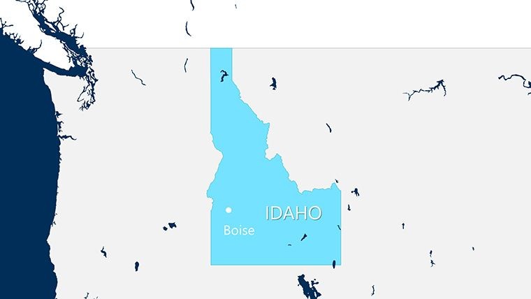
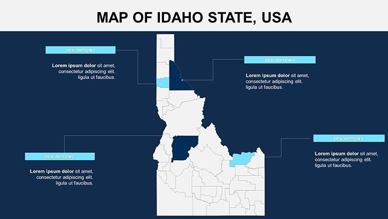
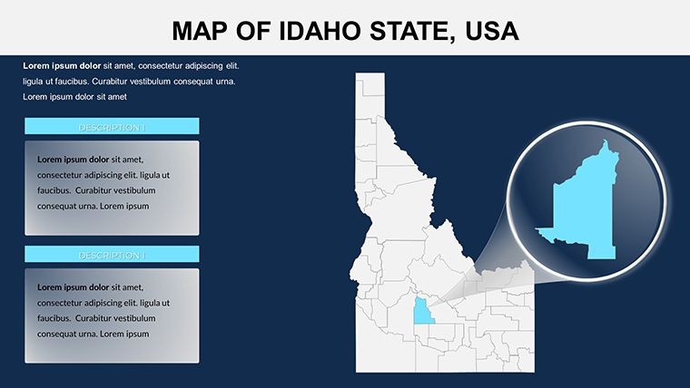
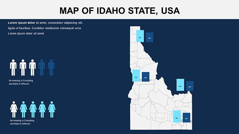
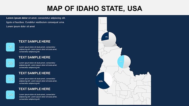
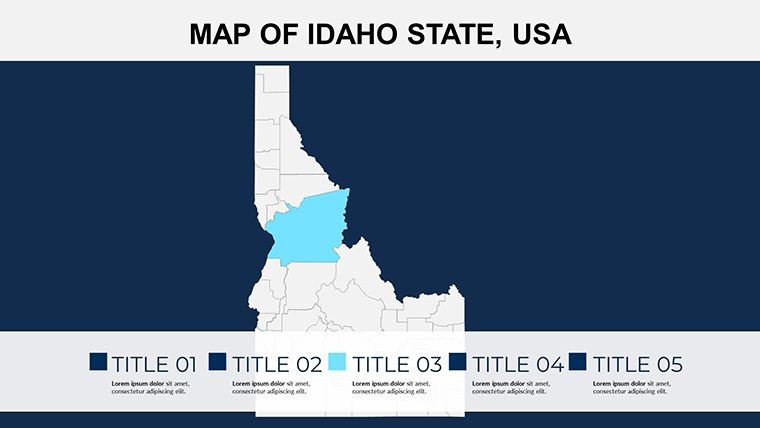
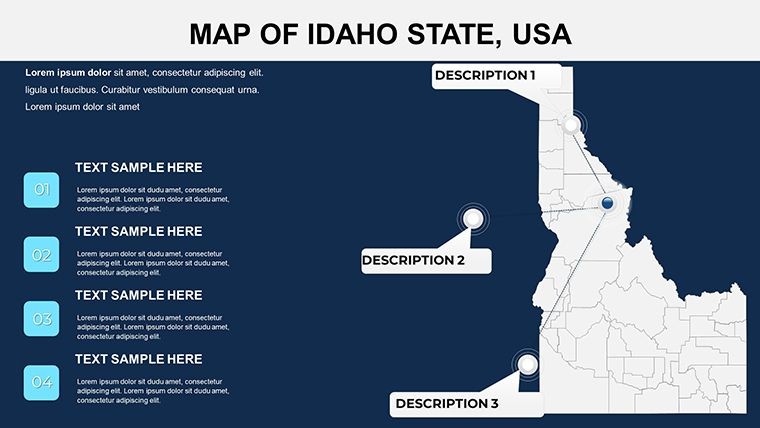
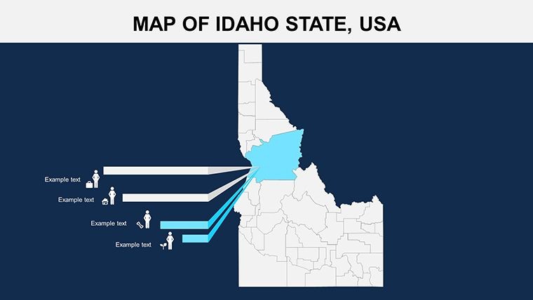
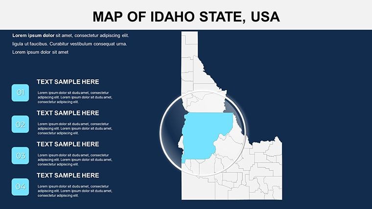
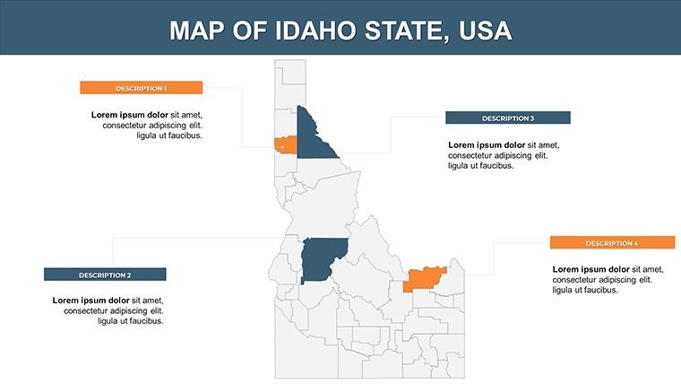
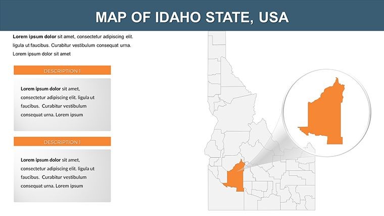
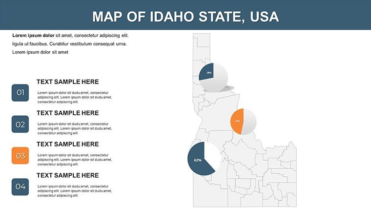
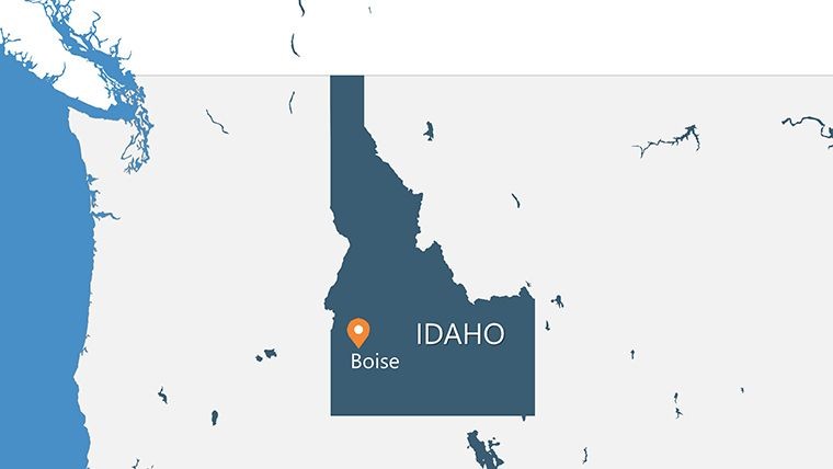
Envision leading a workshop on Idaho's rugged outdoors, where your slides unveil the Boise River Valley's intricacies with a single click. The Idaho Keynote Maps Template delivers exactly that, with 26 editable slides crafted for adventurers, farmers, and analysts alike. This resource spotlights Idaho's expansive landscapes - from the Snake River Plain to the Sawtooth Mountains - enabling you to present data on potato yields or hiking trails with unmatched precision. Fully customizable, it caters to public speakers mapping conservation efforts or educators dissecting state geology, turning raw information into compelling visuals that hold attention and foster understanding.
Elevate Your Idaho-Focused Presentations with Advanced Mapping Tools
This template excels in depicting Idaho's agricultural heartland and natural wonders, offering high-resolution maps that go beyond basics. Business pros in agrotech can illustrate irrigation systems across counties, using animations to show water flow dynamics. Teachers can animate tectonic shifts in the Yellowstone hotspot area, making science lessons vivid for curious minds. For tourism promoters, overlay popular spots like Craters of the Moon with visitor stats, creating pitches that entice explorers. The widescreen format ensures compatibility with modern displays, while vector elements allow infinite scaling. Included PNG icons, such as potato symbols or mountain peaks, add contextual depth without clutter.
Standout Features for Professional Polish
- Comprehensive Editability: Modify borders, fill patterns for forest coverage, or insert labels for cities like Coeur d'Alene.
- Animation Integration: Sequence reveals for economic zones, enhancing narratives on mining history in the Silver Valley.
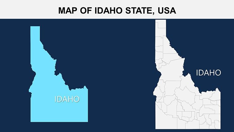
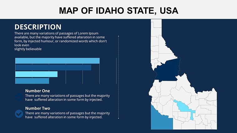
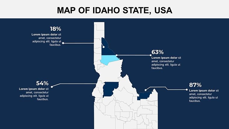
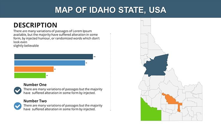
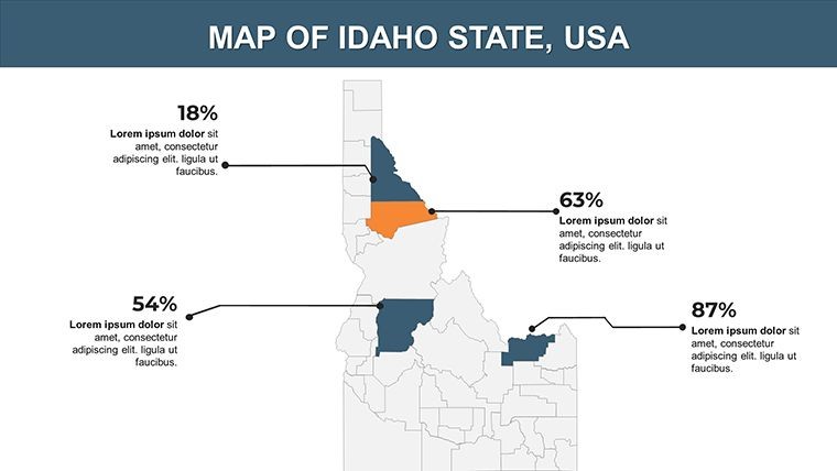
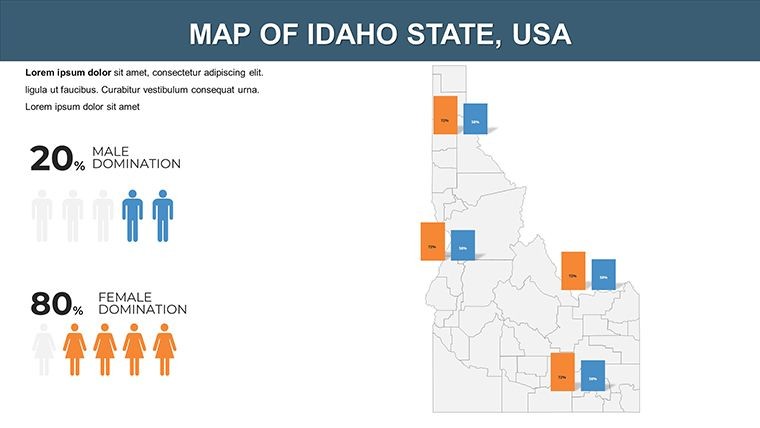
- Varied Map Types: Outline views for overviews, detailed topographic layers for outdoor planning, and thematic maps for demographic shifts.
- Intuitive Interface: Designed for Keynote users, with quick-access tools for data overlays.
- Supplementary Files: Vector and PNG assets for custom markers, like ski resorts or wildlife areas.
Grounded in principles from the Idaho Department of Commerce's data visualization guidelines, this template builds trust through accurate, engaging designs.
Applied Scenarios: From Fields to Peaks in Idaho Presentations
An agronomist might use this to map soil types in the Magic Valley, animating crop rotation cycles to advise farmers on sustainability. In classrooms, it could highlight Lewis and Clark's expedition routes, blending history with geography for immersive learning. Corporate trainers in Boise can customize for team-building retreats, marking adventure spots with interactive elements. Superior to free online maps, this offers offline editability and professional finesse, ideal for conferences like those hosted by the Idaho Potato Commission. Public health officials could layer pandemic data over counties, facilitating clear communication in community meetings.
Streamlined Customization Steps
- Import the .key file into Keynote and select a base topographic map.
- Tweak colors to denote elevation - blues for rivers, greens for farmlands.
- Add text for annotations, such as labeling national forests with acreage stats.
- Apply animations to build layers progressively, revealing insights layer by layer.
- Test and export, ready for any audience.
Pair with spreadsheet imports for live data, surpassing static alternatives in efficiency and impact.
Insider Advice for Idaho Map Mastery
Boost visuals by incorporating 3D effects on mountain ranges for depth, or use gradients for precipitation maps. Limit elements per slide to avoid overload, focusing on key messages like renewable energy potential in windy regions. For hybrid events, optimize for both in-person and online viewing. Drawing from case studies in outdoor recreation planning, such as those from the U.S. Forest Service, these strategies ensure your presentations inform and inspire action.
Seize the opportunity - download the Idaho Keynote Maps Template today and map out success in your next endeavor.
Frequently Asked Questions
How detailed are the topographic maps in this Idaho template? Highly detailed, with editable layers for elevation, rivers, and land use. Does it support data import from external sources? Yes, easily integrate CSV or Excel for dynamic updates. Ideal for agriculture presentations? Perfect, with customizable fields for crop data visualization. What if I need to add custom icons? Included vectors allow easy additions, or import your own. Compatible with Keynote on iPad? Yes, full functionality for on-the-go editing.Good for
- Project roadmaps and sprint plans
- Product launch timelines
- Quarterly or annual review decks
- Company history and milestone summaries
Licence
reviews
I downloaded this for a school report about trade regions.
The charts were basic but easy to replace with my own data.
Some slides feel crowded with icons.
Map editing was easier than expected.
Didn’t look fancy but worked well enough.
FAQ
Will it work in Google Slides?
Are fonts embedded?
Can I use this for client work?
What's the refund policy?
Do you update the template after purchase?
Similar templates
See all Keynote Maps →
All 26 slides